The best mountain hikes around Sulz/Oberelsass
4.3
(4)
25
hikers
10
hikes
Mountaineering routes around Sulz/Oberelsass are characterized by the varied terrain of the Vosges mountains, featuring forested slopes, open ridges, and elevated viewpoints. The region offers a mix of moderate ascents and more challenging climbs, with routes often leading to panoramic vistas. Elevations typically range from lower mountain slopes to higher peaks, providing diverse conditions for mountaineers.
Best mountaineering routes around Sulz/Oberelsass
- The most popular mountaineering route is Grand Ballon – Panoramic view from the Grand Ballon summit loop from Grand Ballon, a 2.2 miles (3.5 km) trail that takes about 1 hour 25 minutes to complete. This moderate route offers expansive views from the highest peak in the Vosges.
- Another top favourite among local mountaineers is Markstein – Lake Lauch loop from Le Markstein, a moderate 8.6 miles (13.9 km) path. This route traverses varied mountain terrain, including forest sections and open areas with views towards Lake Lauch.
- Local mountaineers also love the Grand Ballon – Panoramic view from the Grand Ballon summit loop from Col du Grand Ballon, a 2.5 miles (4.0 km) trail leading through high-altitude landscapes, often completed in about 1 hour 31 minutes.
- Mountaineering around Sulz/Oberelsass is defined by high-altitude trails, forested ascents, and panoramic summit views. The network offers options for moderate and difficult ability levels.
- The routes in Sulz/Oberelsass are highly rated by the komoot community with an average score of 4.3 stars from a few reviews. More than two dozen mountaineers have used komoot to explore Sulz/Oberelsass's varied terrain.
Last updated: September 29, 2026
5.0
(2)
6
hikers
Moderate mountaineering route. Great for any fitness level. Mostly accessible paths. Sure-footedness required.
3
hikers
13.9km
04:10
430m
430m
Moderate mountaineering route. Good fitness required. Easily-accessible paths. Suitable for all skill levels.

3.0
(1)
4
hikers
14.7km
05:11
790m
790m
Hard mountaineering route. Very good fitness required. Mostly accessible paths. Sure-footedness required.
5.0
(1)
2
hikers
Moderate mountaineering route. Great for any fitness level. Mostly accessible paths. Sure-footedness required.
4
hikers
26.8km
08:45
1,200m
1,200m
Hard mountaineering route. Very good fitness required. Easily-accessible paths. Suitable for all skill levels.
Get access to more routes and recommendations from other explorers.
Already have an account?
Our route recommendations are based on thousands of hikes, rides, and runs completed by other people on komoot.
Start today with a free account
Your next adventure awaits.
Popular around Sulz/Oberelsass

From the Vosges to the Jura mountains – Hexatrek, le Grand Est
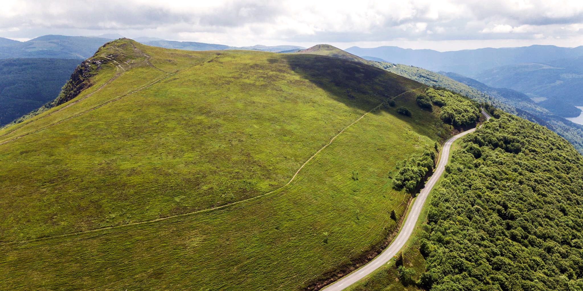
Beautiful passes In the Vosges Mountains
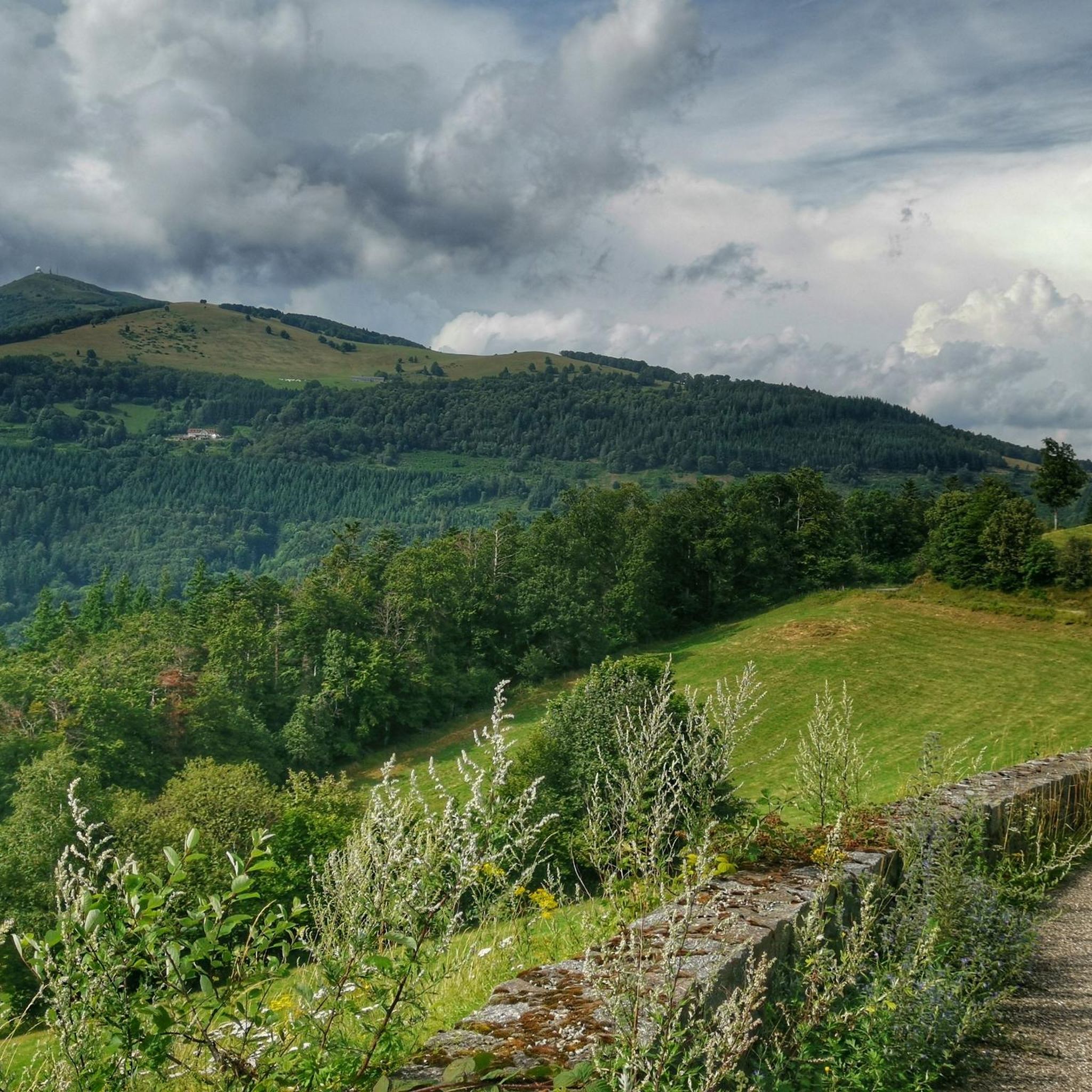
Hiking around Sulz/Oberelsass
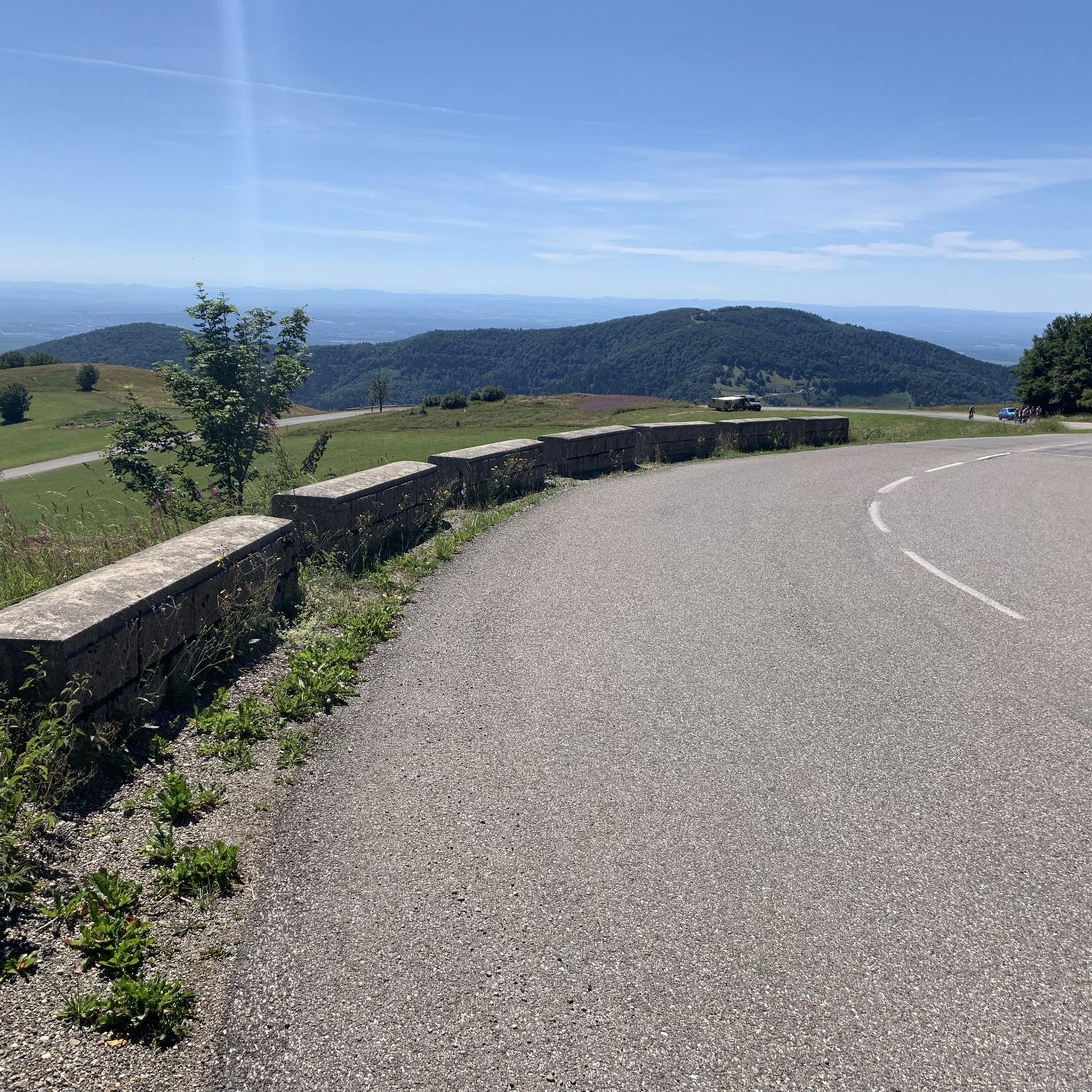
Running Trails around Sulz/Oberelsass
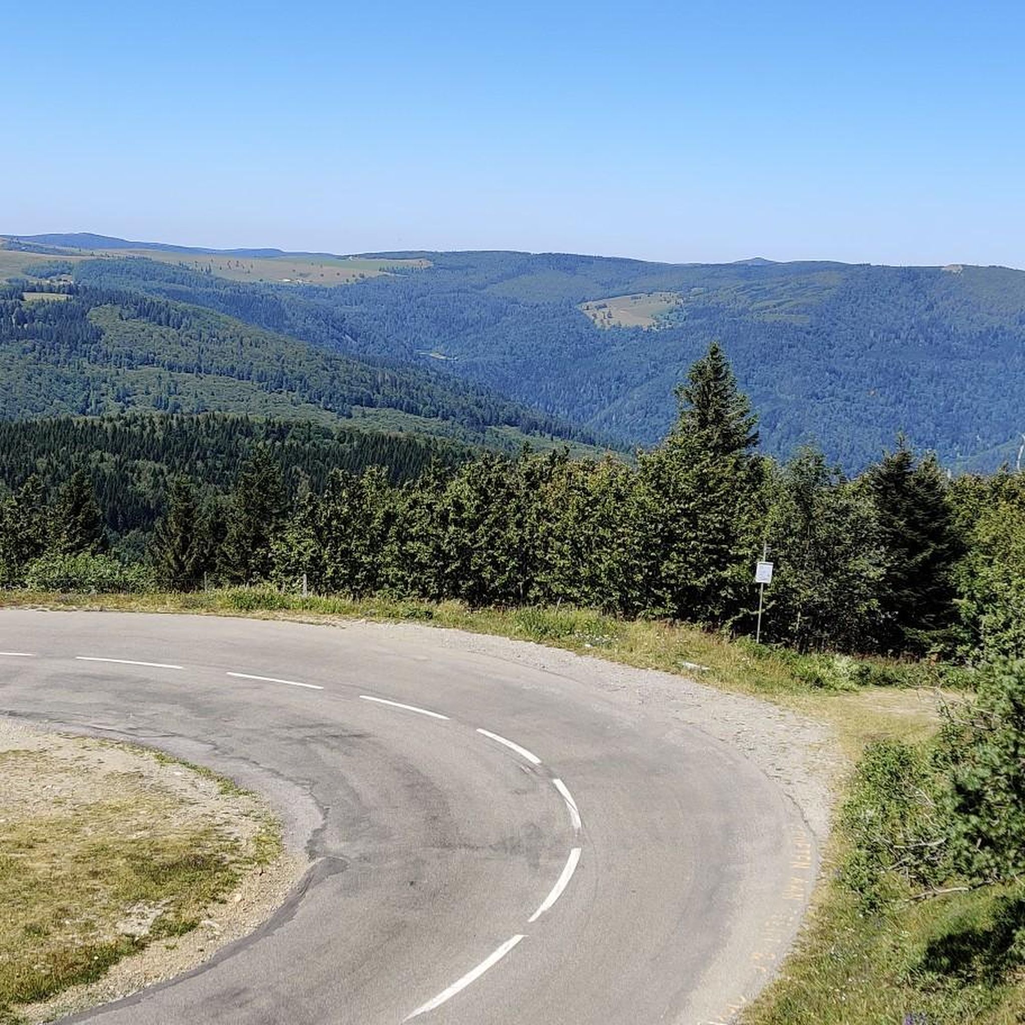
MTB Trails around Sulz/Oberelsass
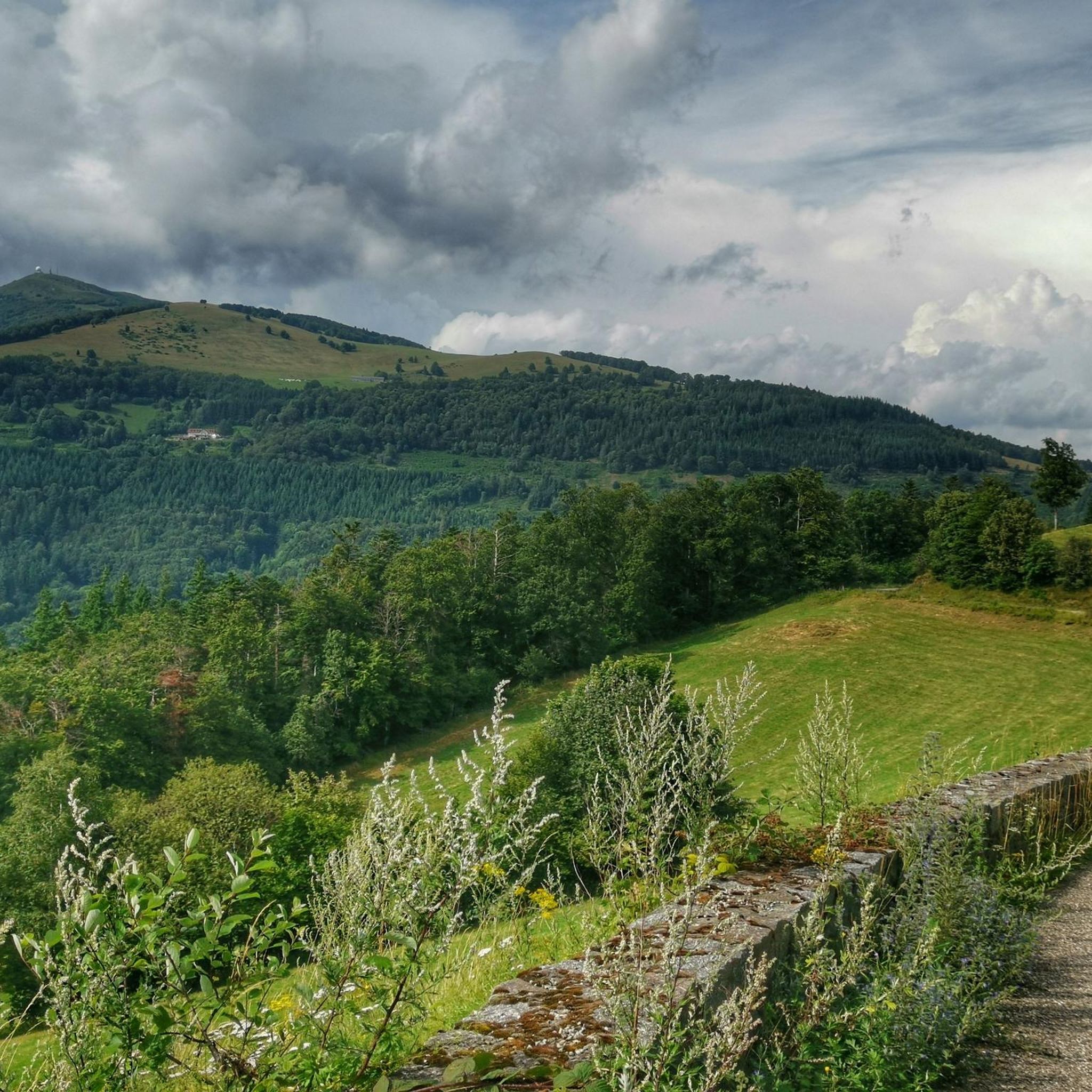
Cycling around Sulz/Oberelsass
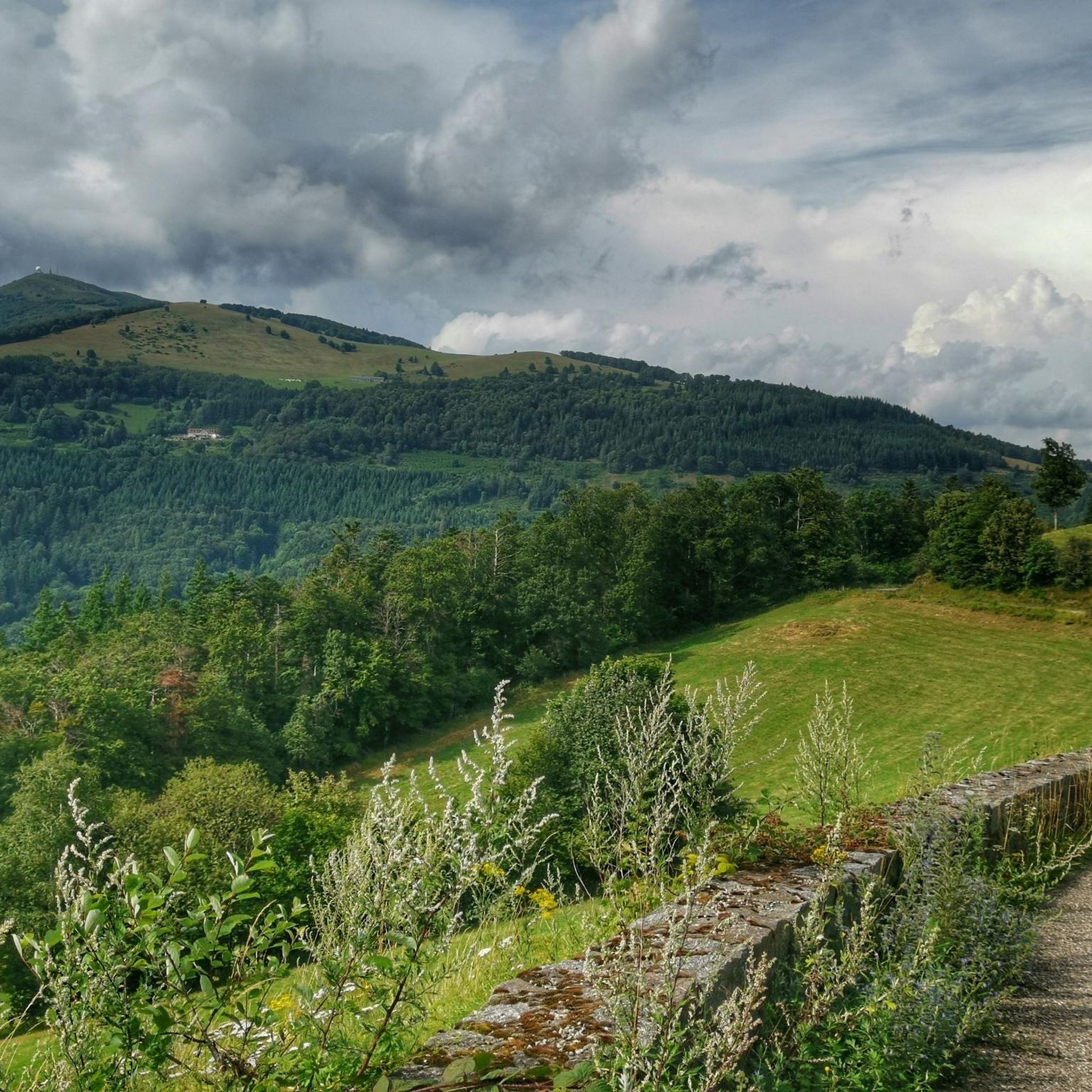
Road Cycling Routes around Sulz/Oberelsass
Gravel biking around Sulz/Oberelsass


Tips from the Community

The Col du Hunsrück (748 m) is a quiet and wooded pass above Willer-sur-Thur. The steady climb and beautiful nature make this a pleasant classic in the southern Vosges, with connections to both the Thur and Dollervallei valleys.
2
0
De Col van Hahnenbrunnen ligt op een open bergzadel in de Hoge Vogezen, tussen de Markstein‑kam en de Breitfirst. De pas bevindt zich rond 1180 meter hoogte en vormt een overgang tussen de bergweiden (chaumes) van de Route des Crêtes en de beboste hellingen die afdalen naar het dal van de Lauch. Het gebied is genoemd naar oude bergboerderijen (fermes d’altitude) die hier eeuwenlang vee hielden op de hooggelegen weiden.
2
0


There is a very nice view over the Sondernach Valley.
0
0

It always amazes me to see how long remnants of wars remain in the landscape. This was one of many other signs of WWI.
0
0
It is easier than it looks but with the heat everything was more difficult.
0
0
This refuge was heaven sent. By this moment, my water reserves were comletely depleted. The refuge provided exactly that: refuge. The carer was super friendly and helpful, giving me water and again, suggesting places of where to camp.
1
0
Frequently Asked Questions
What is the overall difficulty level of mountaineering routes in Sulz/Oberelsass?
Mountaineering routes around Sulz/Oberelsass are generally rated as moderate to difficult. There are no easy routes listed, so be prepared for more challenging terrain and ascents. For example, the Petit Ballon – Col du Hilsenfirst loop from Linthal is considered difficult, involving significant elevation gain.
Are there any circular mountaineering routes in Sulz/Oberelsass?
Yes, several popular mountaineering routes in Sulz/Oberelsass are circular. You can enjoy loops like the Grand Ballon – Panoramic view from the Grand Ballon summit loop from Grand Ballon, which offers expansive views, or the Markstein – Lake Lauch loop from Le Markstein, traversing varied mountain terrain.
What kind of scenic viewpoints can I expect on these mountaineering routes?
The mountaineering routes in Sulz/Oberelsass are known for their panoramic vistas, especially from higher elevations. The Grand Ballon – Panoramic view from the Grand Ballon summit loop from Col du Grand Ballon, for instance, leads through high-altitude landscapes with stunning views. You might also find viewpoints near various huts and shelters, such as the Viewpoint at the Rehbrunnel shelter.
Are there any long-distance mountaineering routes available?
While many routes are day hikes, some offer a more extended experience. The Hundsruck Pass – Vogelstein (Bird Rock) loop from Willer-sur-Thur is a challenging, longer route covering over 26 km, ideal for those seeking a full-day adventure.
What attractions or landmarks can I see along the mountaineering routes?
Along your mountaineering adventures, you can discover various points of interest. The region features several huts and farm inns like the Kahlenwasen Farm Inn or the Grand Ballon Chalet Hotel. You might also encounter natural features such as the Boenlesgrab Pass.
Are there any waterfalls to visit near the mountaineering trails?
Yes, the Sulz/Oberelsass region is home to several beautiful waterfalls. You could explore the Siehlbaechle Waterfall, the Bubalafels Waterfall, or the Lauch Falls, which can be a refreshing stop during your mountaineering trip.
What do other mountaineers enjoy most about the routes in Sulz/Oberelsass?
The mountaineering routes in Sulz/Oberelsass are highly rated by the komoot community, with an average score of 4.3 stars. Reviewers often praise the varied terrain of the Vosges mountains, including forested slopes, open ridges, and the rewarding panoramic views from elevated points like the Grand Ballon summit.
How many mountaineering routes are available in Sulz/Oberelsass?
There are 10 mountaineering routes available in Sulz/Oberelsass, offering a range of moderate to difficult challenges for outdoor enthusiasts.
Are the mountaineering routes in Sulz/Oberelsass suitable for families with young children?
Given that all mountaineering routes in Sulz/Oberelsass are rated as moderate to difficult, they may not be suitable for families with very young children or those new to mountaineering. These trails often involve significant elevation changes and varied terrain, requiring a good level of fitness and experience.
What is the typical terrain like on mountaineering routes in this region?
The terrain in Sulz/Oberelsass is characteristic of the Vosges mountains, featuring a mix of forested slopes, open ridges, and high-altitude landscapes. You can expect varied conditions, from well-trodden paths to more rugged sections, with routes often leading to elevated viewpoints.
Can I find routes that are less crowded in Sulz/Oberelsass?
While popular routes like those around Grand Ballon can attract more visitors, exploring some of the longer or more challenging trails, such as the Hundsruck Pass – Vogelstein (Bird Rock) loop from Willer-sur-Thur, might offer a more secluded experience, especially during off-peak times.
Most popular routes around Sulz/Oberelsass
Most popular attractions around Sulz/Oberelsass

Get inspired with the komoot mobile app


Explore more
Browse the best Mountain Hikes & Routes in other regions.
