The best road cycling routes around Sulz/Oberelsass
4.4
(1065)
31,327
riders
11
rides
Road cycling routes around Sulz/Oberelsass traverse a varied landscape characterized by the Thur river valley, rolling vineyards, and ascents to mountain passes. The region offers a mix of flatter sections along waterways and more challenging climbs into the Vosges foothills. Road cyclists can explore agricultural plains, forested areas, and scenic viewpoints.
Best road cycling routes around Sulz/Oberelsass
- The most popular road cycling route is Thur Rapids loop from Soultz-Haut-Rhin, a 26.8 miles (43.2 km) trail that takes about 2 hours to complete. This route follows the Thur river, offering a moderate ride through the valley.
- Another top favourite among local road cyclists is Ascent to Col Amic – Amic Pass loop from Soultz-Haut-Rhin, a moderate 15.8 miles (25.5 km) path. This route features significant elevation gain as it climbs towards Col Amic.
- Local road cyclists also love the Notre-Dame Church – Bannstein Pass loop from Haut-Rhin, a 21.8 miles (35.1 km) trail leading through varied terrain with a climb to Bannstein Pass, often completed in about 1 hour 35 minutes.
- Road cycling around Sulz/Oberelsass is defined by river valleys, vineyards, and mountain passes, offering a diverse network of routes. The region provides options for various ability levels, from easy rides through the plains to more advanced road bike climbs.
- The routes in Sulz/Oberelsass are highly rated by the komoot community with an average score of 4.5 stars from over 800 reviews. More than 27,000 road cyclists have used komoot to explore Sulz/Oberelsass's varied terrain.
Last updated: October 8, 2026
4.3
(6)
154
riders
43.2km
01:59
160m
160m
Moderate road ride. Great for any fitness level. Some segments of this route may be unpaved and difficult to ride.
5.0
(9)
258
riders
25.7km
01:43
620m
620m
Moderate road ride. Good fitness required. Mostly well-paved surfaces and easy to ride.

4.0
(2)
35
riders
35.0km
01:35
390m
390m
Moderate road ride. Good fitness required. Mostly well-paved surfaces and easy to ride.
5.0
(1)
25
riders
43.2km
01:52
210m
210m
Easy road ride. Great for any fitness level. Mostly well-paved surfaces and easy to ride.
9
riders
39.7km
01:36
160m
160m
Easy road ride. Great for any fitness level. Mostly well-paved surfaces and easy to ride.
Get access to more routes and recommendations from other explorers.
Already have an account?
Our route recommendations are based on thousands of hikes, rides, and runs completed by other people on komoot.
Start today with a free account
Your next adventure awaits.
Popular around Sulz/Oberelsass
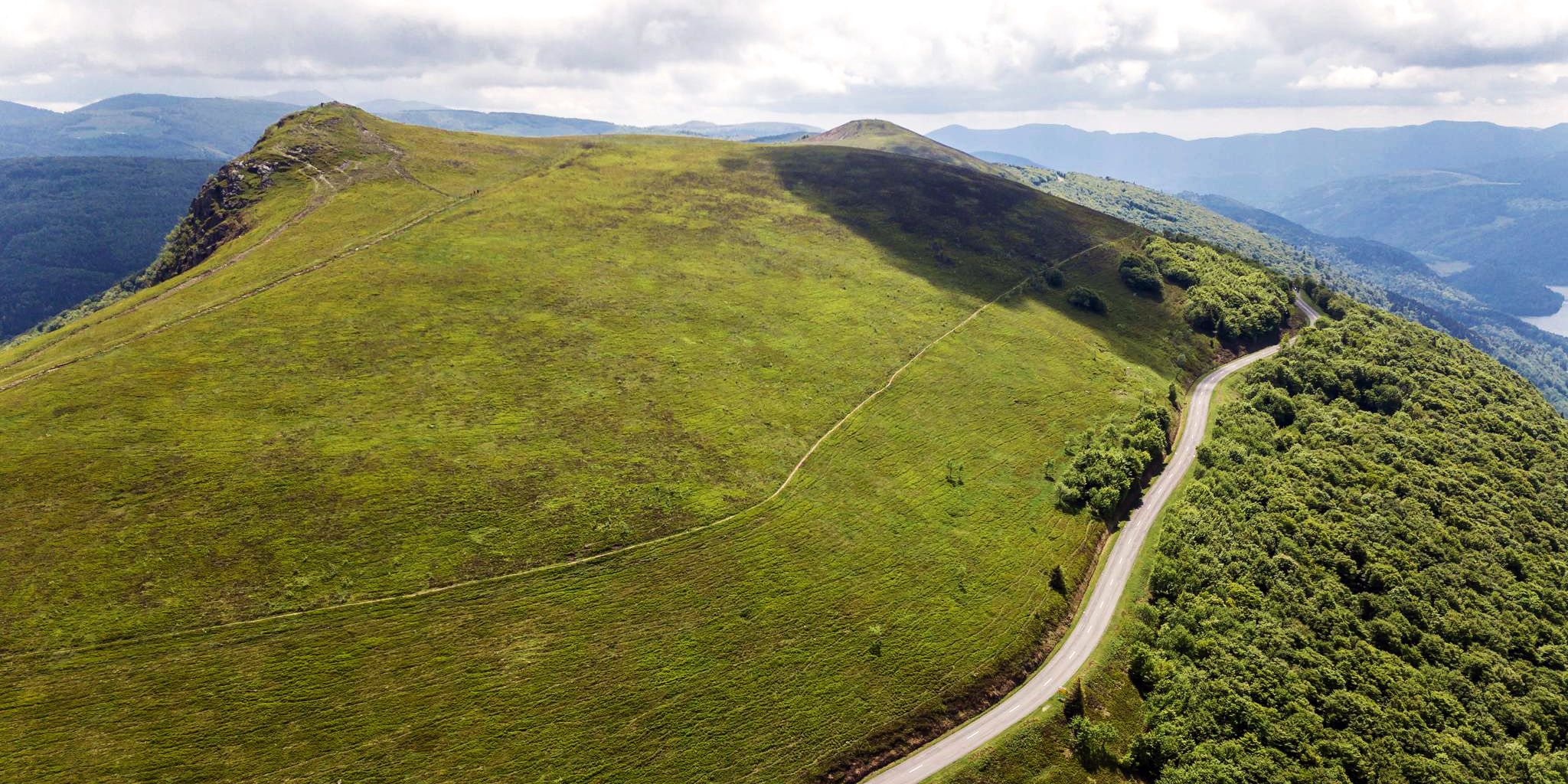
Beautiful passes In the Vosges Mountains

From the Vosges to the Jura mountains – Hexatrek, le Grand Est
Hiking around Sulz/Oberelsass
Running Trails around Sulz/Oberelsass
MTB Trails around Sulz/Oberelsass
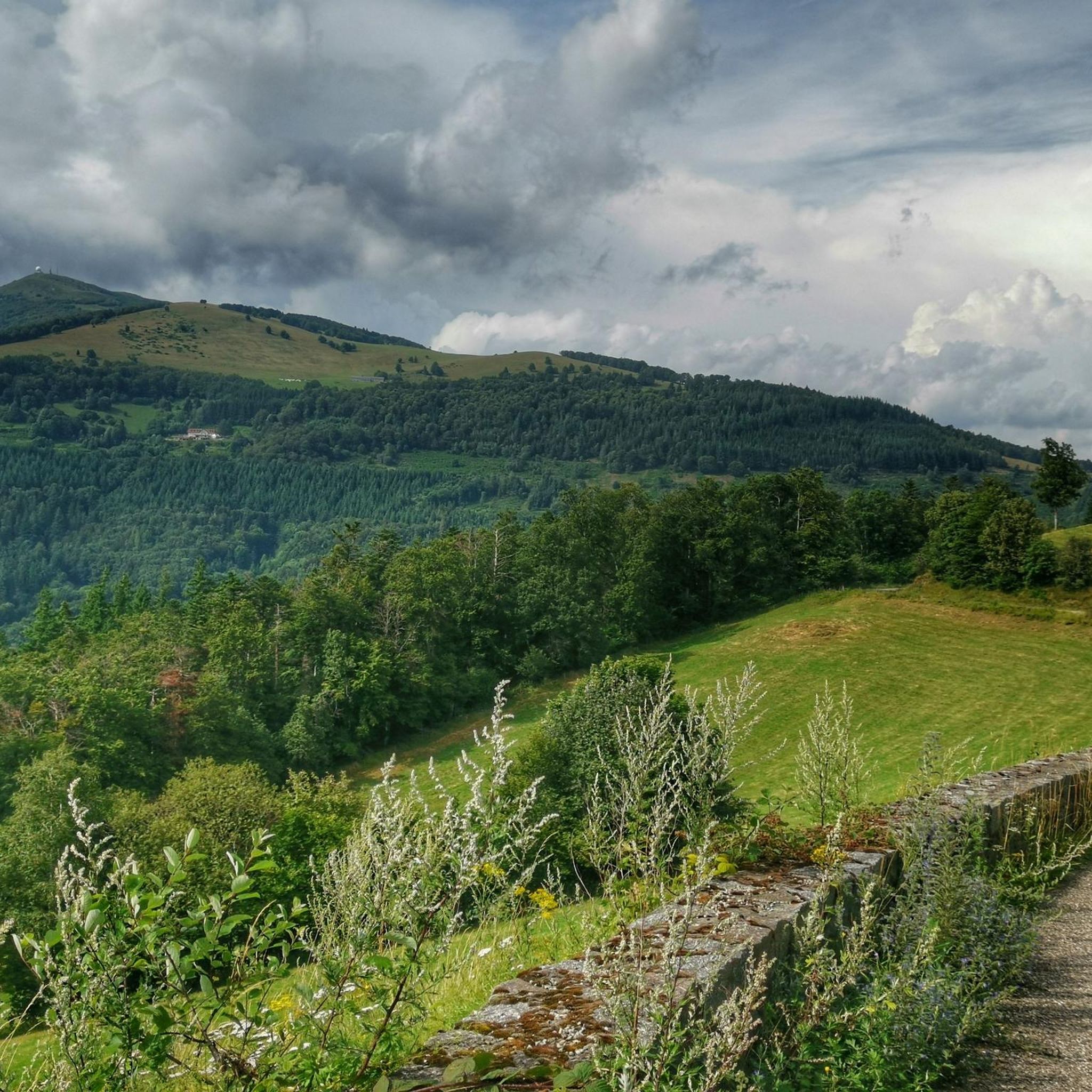
Cycling around Sulz/Oberelsass
Gravel biking around Sulz/Oberelsass
Mountain Hikes around Sulz/Oberelsass


Tips from the Community

great descent into the valley
0
0
super nice path to the summit
0
0

Quiet street, shade and even incline
0
0
super nice path in the shade
0
0
it's fun to ride up there
0
0

On the route of Col Amic, above the Ferme Auberge Kohlschlag, there is a cozy wooden bench that invites you to take a break. From here, you have a view of the Ferme Auberge Kohlschlag and the mountain Le Sudelkopf. The bench was made as a project by students from the Enstib Épinal wood trade school.
0
0
Frequently Asked Questions
How many road cycling routes are available in Sulz/Oberelsass?
There are over 10 road cycling routes around Sulz/Oberelsass, offering a diverse range of experiences for different skill levels. The komoot community has explored these routes over 27,000 times.
What types of terrain can I expect on road cycling routes in Sulz/Oberelsass?
The region offers a varied landscape, from flatter sections along the Thur river valley to rolling vineyards and more challenging ascents into the Vosges foothills. You'll encounter agricultural plains, forested areas, and mountain passes.
Are there easy road cycling routes suitable for beginners in Sulz/Oberelsass?
Yes, Sulz/Oberelsass has several easy road cycling routes. For instance, the Vineyards of Rouffach – Puits Rodolphe II loop from Soultz-Haut-Rhin is an easy option that takes you through scenic vineyards.
Where can I find challenging road bike climbs in Sulz/Oberelsass?
For those seeking elevation gain, routes like the Ascent to Col Amic – Amic Pass loop from Soultz-Haut-Rhin offer significant climbs. Another challenging option is the Notre-Dame Church – Bannstein Pass loop from Haut-Rhin, which includes a climb to Bannstein Pass.
Are there circular road cycling routes available in Sulz/Oberelsass?
Many of the road cycling routes in Sulz/Oberelsass are designed as loops, allowing you to start and finish in the same location. Examples include the Thur Rapids loop from Soultz-Haut-Rhin and the Vineyards of Rouffach – Ensisheim loop from Soultz-Haut-Rhin.
What natural monuments can I see along road cycling routes in Sulz/Oberelsass?
The region is rich in natural beauty. You might encounter highlights such as the Petit Ballon, Ballon Lake, or the Viewpoint at the summit of Vieil Armand. The Petit Ballon Pass (1,163 m) is also a notable natural feature.
Are there any notable mountain peaks accessible from road cycling routes in Sulz/Oberelsass?
Yes, several prominent peaks are in the vicinity. Cyclists can experience views of or even climb towards peaks like Grand Ballon, Petit Ballon, and Storkenkopf.
What are some good starting points for road cycling routes in Sulz/Oberelsass?
Many routes conveniently start from towns like Soultz-Haut-Rhin or Haut-Rhin, offering easy access to the diverse cycling network. These locations often provide amenities and parking for cyclists.
What is the best season for road biking in Sulz/Oberelsass?
While specific data on the best season isn't provided, the varied landscape with vineyards and forested areas suggests that spring and autumn would offer pleasant temperatures and beautiful scenery, especially for autumn views as mentioned in user queries. Summer is also popular, but can be warmer.
What do other road cyclists enjoy the most about road cycling in Sulz/Oberelsass?
The area is highly rated by the komoot community, with an average score of 4.5 stars from over 800 reviews. Reviewers often praise the diverse terrain, which includes river valleys, vineyards, and mountain passes, catering to various ability levels.
Are there road cycling routes that pass through vineyards in Sulz/Oberelsass?
Absolutely. The region is known for its vineyards. Routes such as the Vineyards of Rouffach – Puits Rodolphe II loop from Soultz-Haut-Rhin specifically highlight the opportunity to cycle through these picturesque landscapes.
Most popular routes around Sulz/Oberelsass
Most popular attractions around Sulz/Oberelsass

Get inspired with the komoot mobile app


Explore more
Browse the best Road cycling routes in other regions.
