The best gravel rides around Sulz/Oberelsass
4.6
(71)
844
riders
92
rides
Gravel biking around Sulz/Oberelsass is characterized by diverse terrain within the Vosges Mountains, offering a varied landscape of mountains, forests, vineyards, and plains. The region, situated at the foot of the Vosges, provides an extensive network of gravel bike trails suitable for different skill levels. This area features the Grand Ballon, the highest peak at 1,424 meters, which contributes to routes with significant elevation changes. The landscape provides varied experiences, from challenging climbs to more leisurely rides through the Upper…
Last updated: October 6, 2026
4.9
(8)
73
riders
59.3km
04:25
1,520m
1,520m
Hard gravel ride. Very good fitness required. Mostly paved surfaces. Suitable for all skill levels.
5.0
(2)
43
riders
35.5km
03:01
1,100m
1,090m
Hard gravel ride. Very good fitness required. Mostly paved surfaces. Suitable for all skill levels.

4.7
(3)
27
riders
57.3km
04:06
1,320m
1,320m
Hard gravel ride. Very good fitness required. Mostly paved surfaces. Suitable for all skill levels.
5.0
(1)
15
riders
50.3km
03:20
430m
430m
Moderate gravel ride. Good fitness required. Mostly paved surfaces. Suitable for all skill levels.
12
riders
47.1km
03:51
1,350m
1,350m
Hard gravel ride. Very good fitness required. Mostly paved surfaces. Suitable for all skill levels.
Get access to more routes and recommendations from other explorers.
Already have an account?
Our route recommendations are based on thousands of hikes, rides, and runs completed by other people on komoot.
Start today with a free account
Your next adventure awaits.
Popular around Sulz/Oberelsass

From the Vosges to the Jura mountains – Hexatrek, le Grand Est
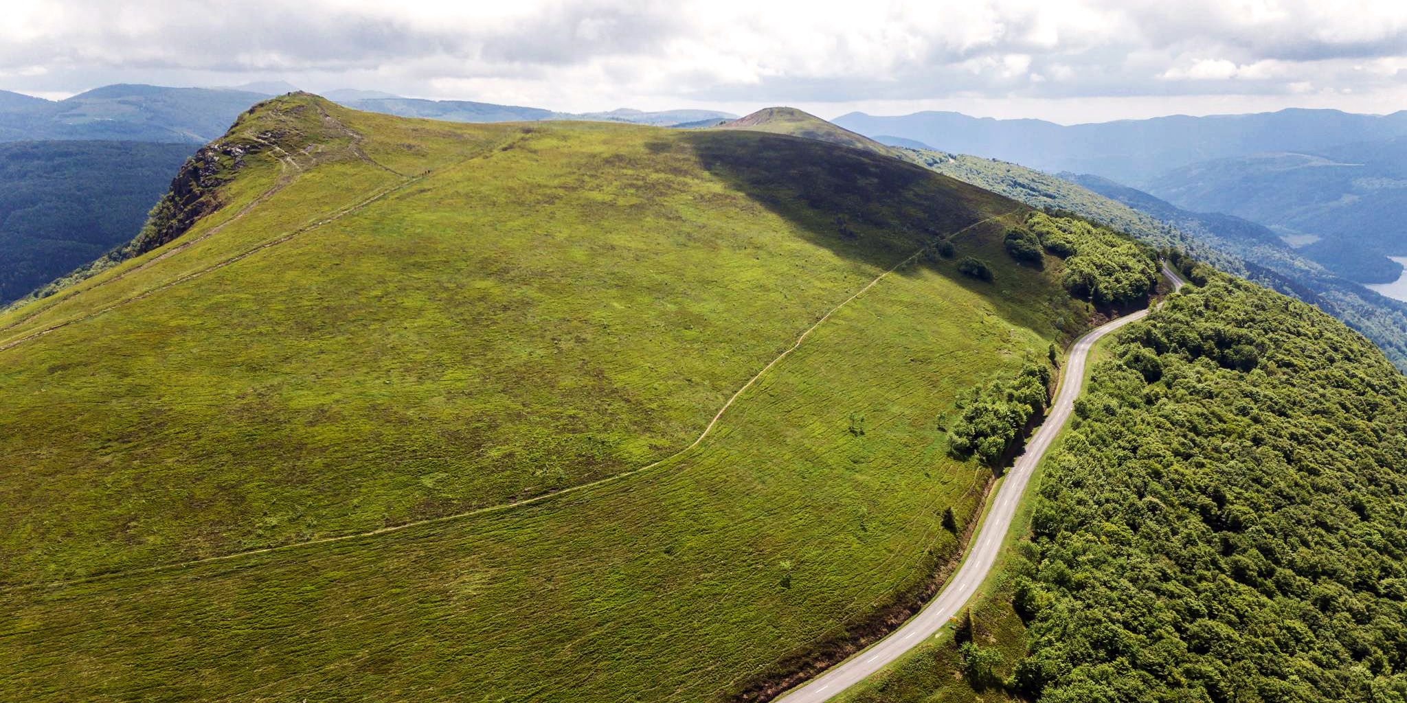
Beautiful passes In the Vosges Mountains
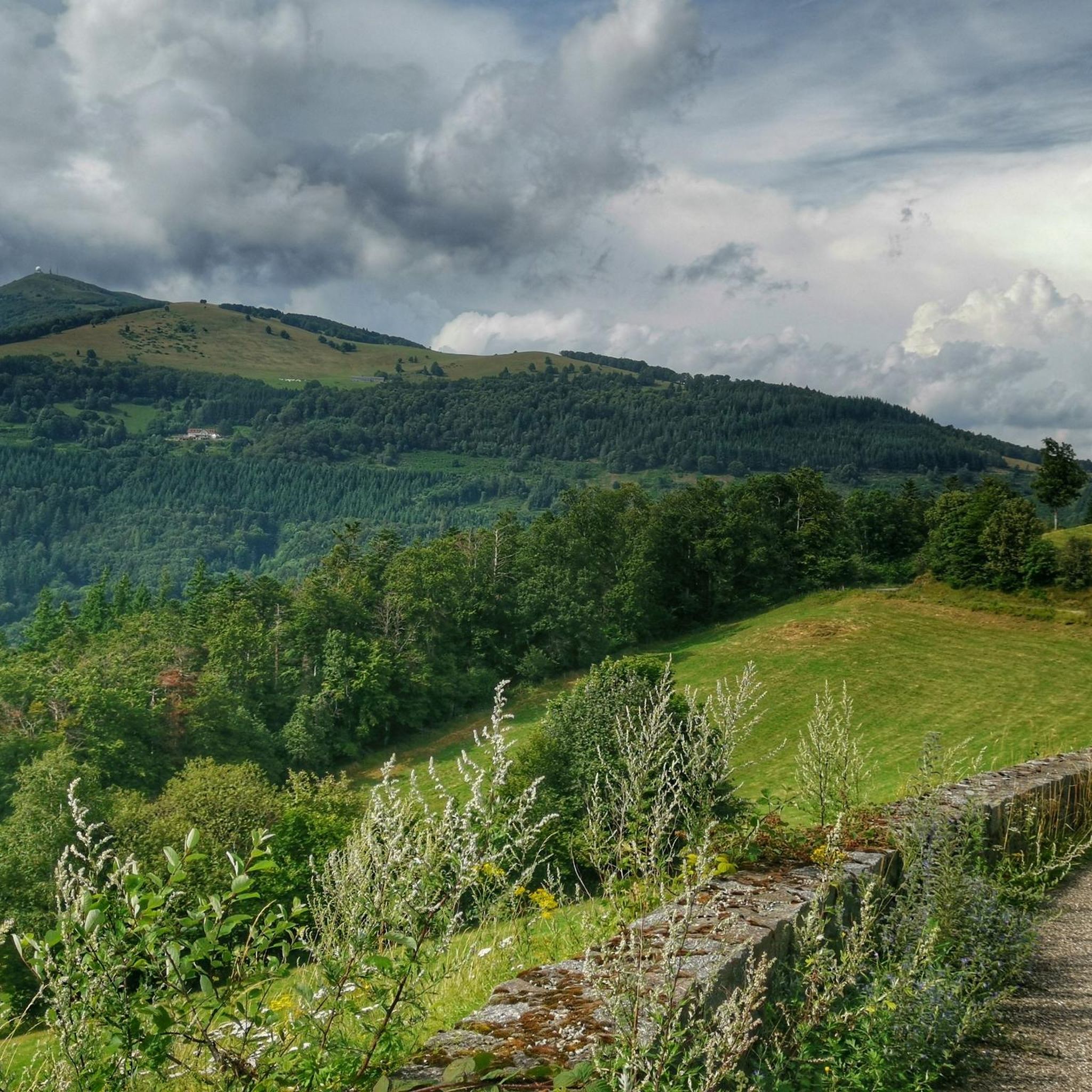
Hiking around Sulz/Oberelsass
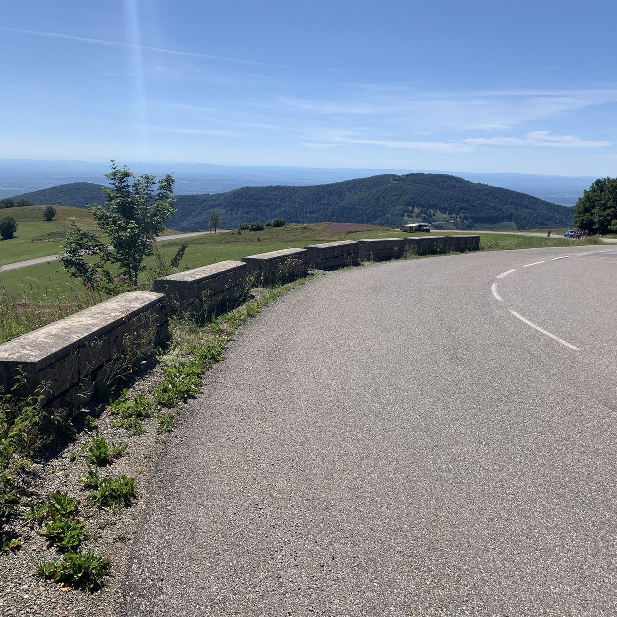
Running Trails around Sulz/Oberelsass
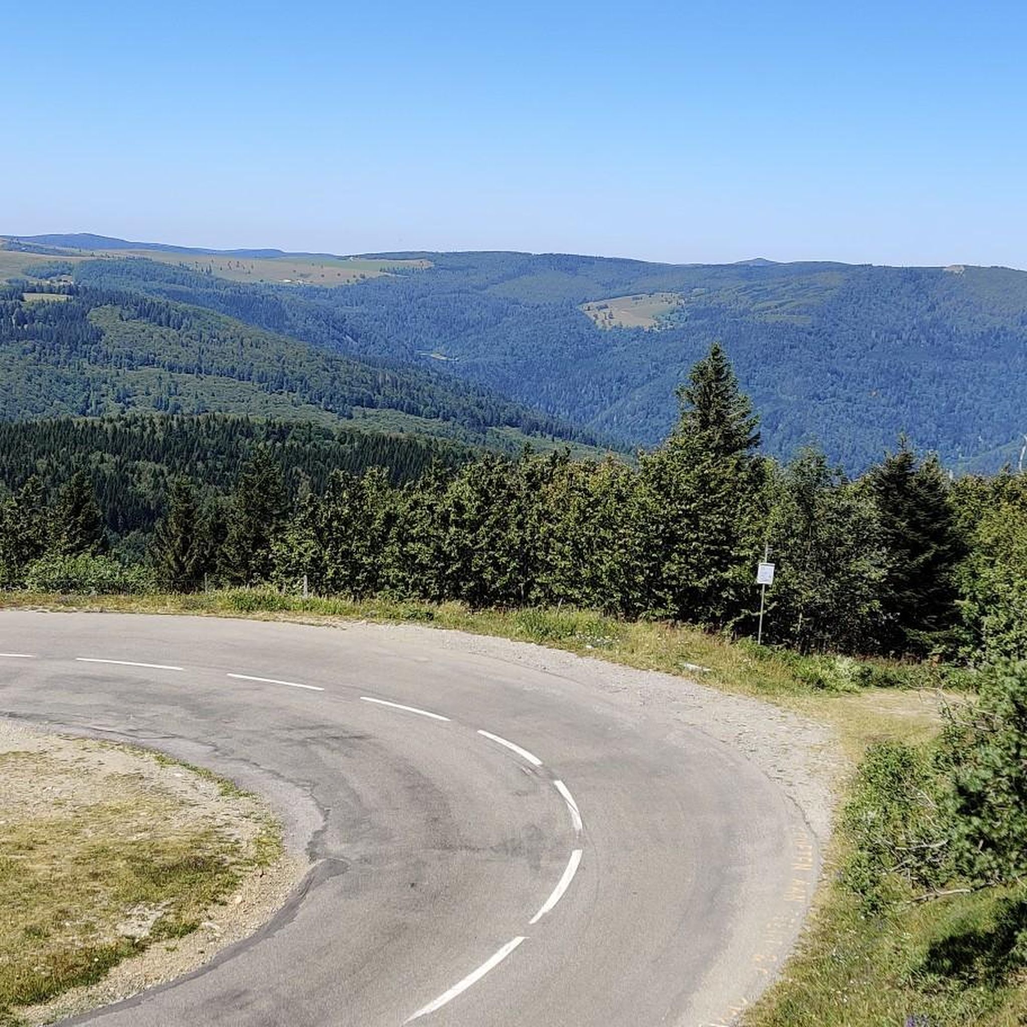
MTB Trails around Sulz/Oberelsass
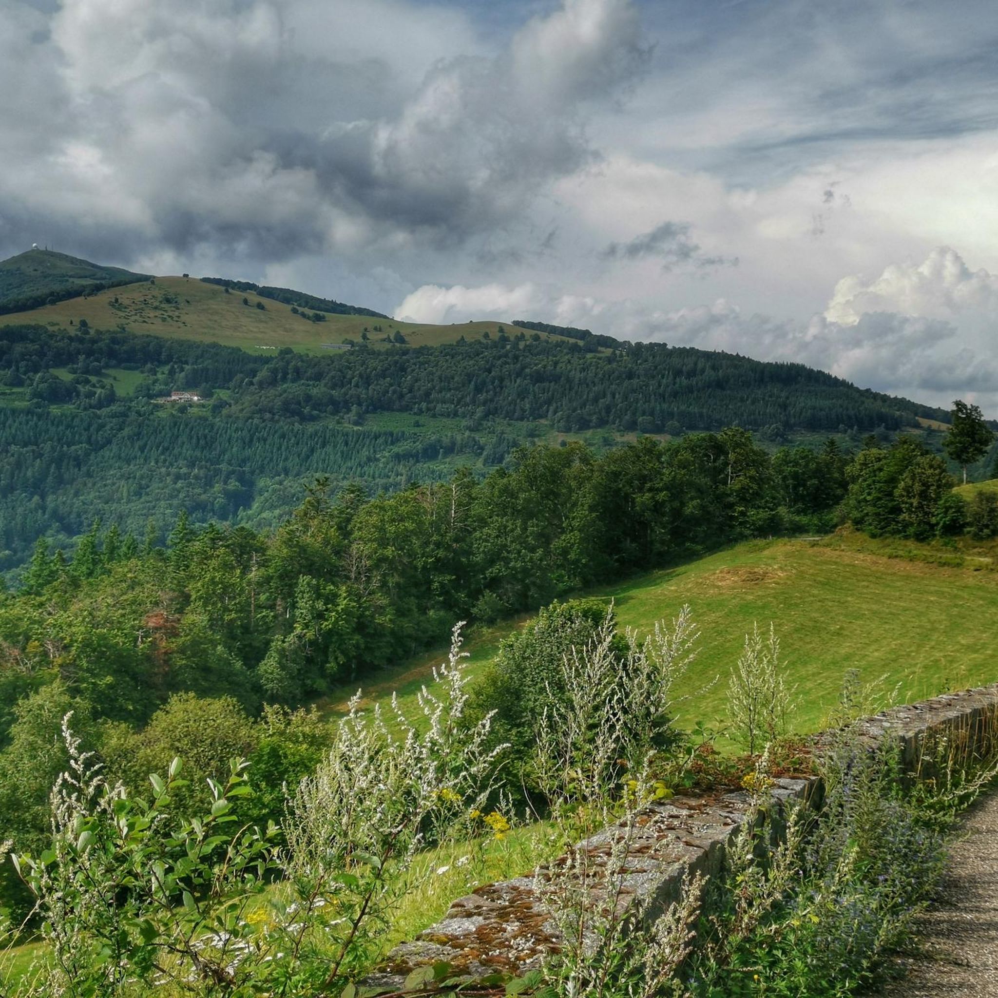
Cycling around Sulz/Oberelsass
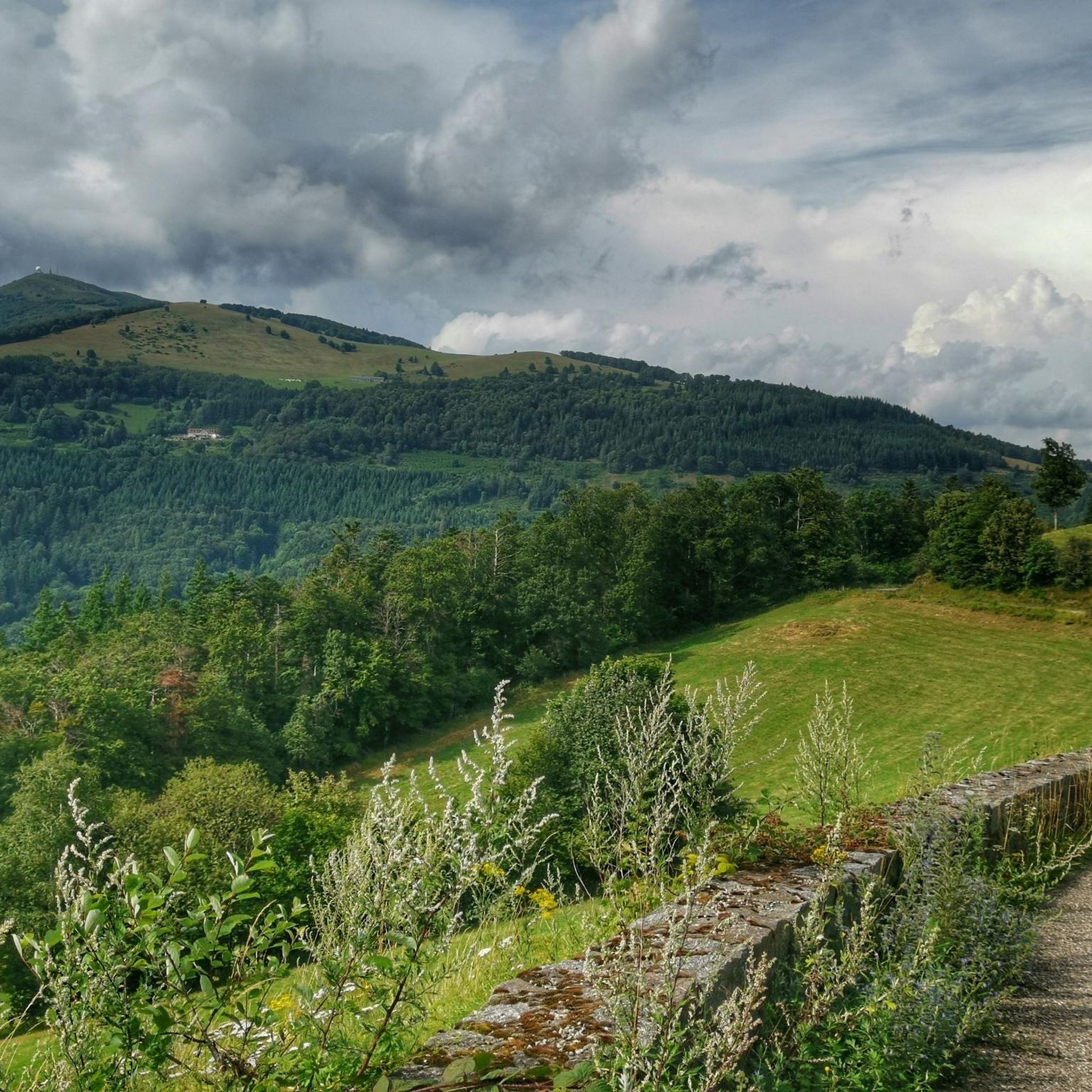
Road Cycling Routes around Sulz/Oberelsass
Mountain Hikes around Sulz/Oberelsass


Tips from the Community

The bare mountain lends itself to beautiful panoramas.
2
0

sensational view up to the Alps.
1
0

From waypoint 10 to 11 is absolutely not possible by bike
0
0

beautiful path to the summit
0
0
it's fun to ride up there
0
0
super nice to ride the climb
0
0
great view from up there
0
0
Frequently Asked Questions
What kind of terrain can I expect on the gravel bike trails around Sulz/Oberelsass?
The gravel bike trails in Sulz/Oberelsass offer a diverse range of terrain, primarily within the Vosges Mountains. You'll encounter dense forests, scenic ridge paths, and varied landscapes with significant elevation changes. The region provides an engaging environment for gravel biking, from challenging climbs to more leisurely rides.
Are there gravel bike routes suitable for beginners in Sulz/Oberelsass?
Yes, while many routes feature significant elevation, there are options for various skill levels. For example, the Witches' Chapel – Bollenberg chapel loop from Guebwiller is a moderate 47.9 km path that offers a mix of terrain suitable for different skill levels, including those newer to gravel biking.
What are some notable natural features or viewpoints I can experience on the gravel trails?
The region is dominated by the Vosges Mountains, with the Grand Ballon being the highest peak, offering magnificent panoramic views. Many routes, like the Grand Ballon – Grand Ballon loop from Col du Grand Ballon, lead through this prominent area. You can also find natural monuments such as Petit Ballon and the Ballon Lake, providing scenic stops along your ride.
Are there any waterfalls along the gravel bike routes in Sulz/Oberelsass?
Yes, the area around Sulz/Oberelsass features several beautiful waterfalls. While not directly on every gravel route, you can find highlights like the Siehlbaechle Waterfall, Bubalafels Waterfall, and Kletterbach Waterfall nearby, which can be incorporated into your biking adventures or visited separately.
What is the typical duration and distance of gravel bike rides in this area?
The routes vary significantly. For instance, the challenging Col de Bramont – La route des crêtes loop from Grand Ballon is 66.3 km and takes nearly 6 hours. A moderate option like the Witches' Chapel – Bollenberg chapel loop from Guebwiller is 47.9 km and takes around 3 hours 45 minutes. There are options ranging from shorter, easier rides to longer, more demanding tours.
Are there many circular gravel bike routes available?
Yes, many of the gravel bike routes in Sulz/Oberelsass are designed as loops, allowing you to start and end at the same point. Examples include the Grand Ballon – Grand Ballon loop from Col du Grand Ballon and the Grand Ballon – Col Amic Pass loop from Guebwiller, which are popular choices for exploring the region.
What do other gravel bikers say about the trails in Sulz/Oberelsass?
The gravel biking routes in Sulz/Oberelsass are highly rated by the komoot community, with an average score of 4.6 stars from over 60 reviews. Riders often praise the diverse terrain, the challenging yet rewarding climbs, and the stunning views, especially around the Vosges Mountains and the Grand Ballon.
When is the best time of year to go gravel biking in Sulz/Oberelsass?
The region offers great gravel biking opportunities throughout much of the year. Spring and autumn provide pleasant temperatures and beautiful scenery with changing foliage. Summer is also popular, though some higher elevation routes might be quite warm. In winter, the Vosges Mountains transform into a destination for snow sports, so gravel biking might be limited to lower elevations or require specific gear.
Are there any family-friendly gravel biking options in the area?
While many routes involve significant elevation, there are easier sections and less challenging paths suitable for families. Look for routes described as 'moderate' or those with less climbing, often found in the valleys or on more established forest roads, to ensure a comfortable experience for all family members.
Can I bring my dog on the gravel bike trails?
Many trails in the Vosges Mountains and surrounding areas are generally dog-friendly, especially those on forest roads and paths. However, it's always advisable to keep your dog on a leash, especially in nature reserves or areas with wildlife, and to check local regulations for specific trails or protected areas.
Are there places to eat or drink near the gravel trails?
The region has various villages and towns where you can find cafes, restaurants, and traditional Alsatian 'ferme-auberges' (farm inns). While specific establishments directly on every trail might be limited, planning your route to pass through or near these settlements will provide opportunities for refreshments and meals.
How accessible are the gravel trails by public transport?
Public transport options in the more mountainous parts of the Vosges can be limited. However, larger towns like Guebwiller, which serve as starting points for several routes, are generally better connected. It's recommended to check local bus or train schedules in advance if you plan to rely on public transport to reach trailheads.
Where can I find parking for gravel biking routes?
Many popular trailheads, especially those near significant natural features like the Grand Ballon or in towns like Guebwiller, offer designated parking areas. It's often best to check the starting point of your chosen route on komoot for specific parking information or look for public parking in nearby villages.
Most popular routes around Sulz/Oberelsass
Most popular attractions around Sulz/Oberelsass

Get inspired with the komoot mobile app


Explore more
Browse the best Gravel rides in other regions.
