The best cycling routes around Chino Valley
4
riders
4
rides
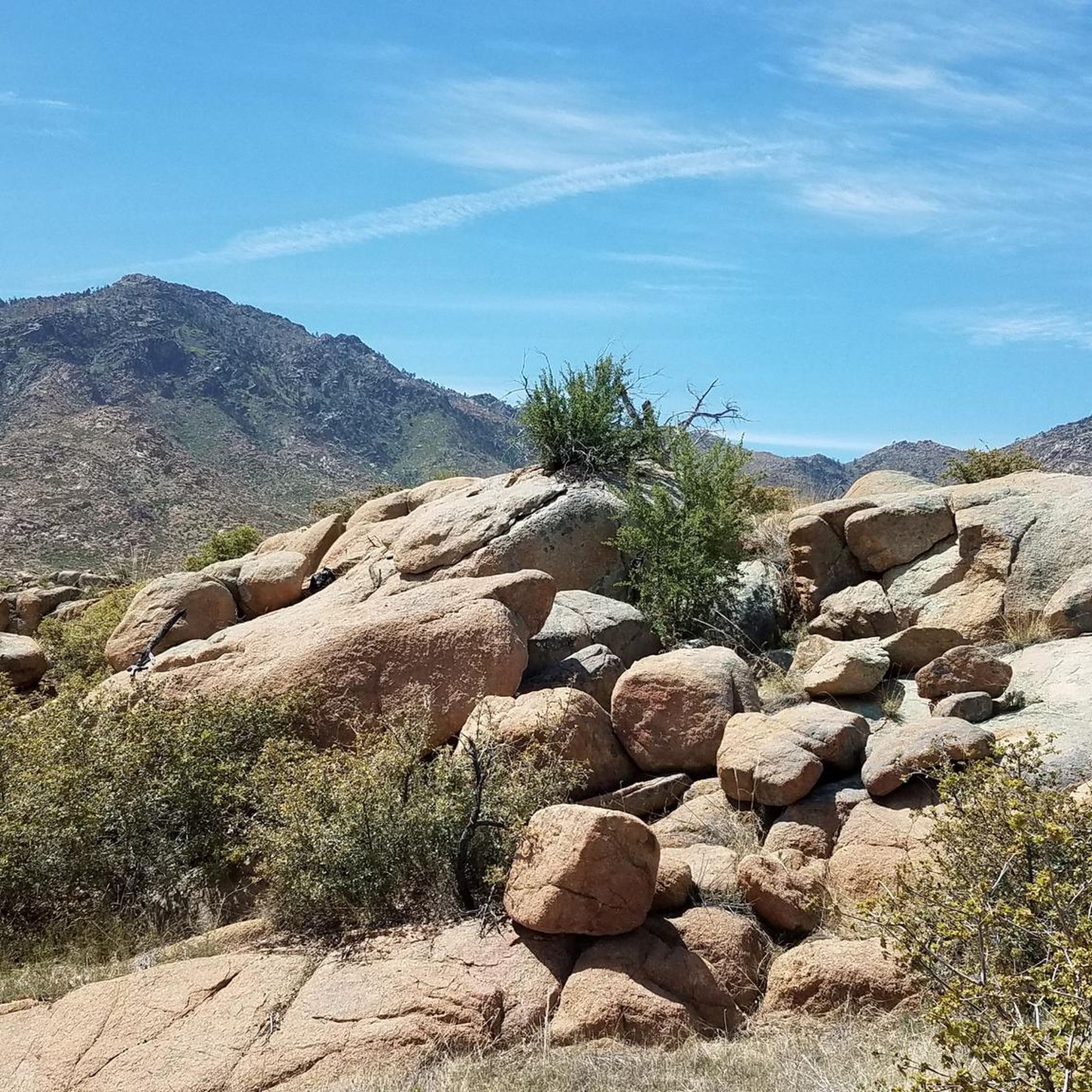
Touring cycling around Chino Valley, Arizona, offers diverse landscapes in the Central Arizona Highlands at an elevation of 4,750 feet. The region features wide-open spaces, high-desert country, and rolling hills, with routes traversing areas around the Bradshaw and Black Hills Mountains. Cyclists can experience gradual climbs and varied terrain, including ponderosa pine forests and expansive views of the Verde Valley. This environment provides a range of options for touring cyclists.
Best touring cycling routes around Chino Valley
- The most popular touring cycling route is Peavine and Iron King Trail, an 18.6 miles (29.9 km) trail that takes 2 hours 22 minutes to complete. This moderate route offers views of the Granite Dells and Watson Lake.
- Another top favourite among local touring cyclists is Chino Valley loop, a moderate 22.3 miles (35.9 km) path. This route provides scenic views of distant mountains and is often completed in about 2 hours 7 minutes.
- Local touring cyclists also love the Perkinsville Bridge via East Perkinsville Road, a 45.2 miles (72.8 km) trail leading through remote, open areas and diverse landscapes, often completed in about 6 hours 42 minutes.
- Touring cycling around Chino Valley is defined by high-desert country, rolling hills, and ponderosa pine forests. The network offers options for various ability levels, from easy paths to more challenging routes with significant elevation gain.
- The guide includes highly-rated routes that showcase the best of the region's landscape. More than 20 touring cyclists have used komoot to explore Chino Valley's varied terrain.
Last updated: July 21, 2026
4
riders
72.8km
06:43
720m
720m
This difficult 45.2-mile touring cycling route to Perkinsville Bridge offers unpaved roads, significant climbs, and scenic views in Prescott
35.9km
02:08
190m
190m
Cycle the moderate Chino Valley loop, a 22.3-mile touring route with 613 feet of elevation gain, offering scenic views of distant mountains.

Sign up for free
29.9km
02:23
200m
200m
Cycle the 18.6-mile Peavine and Iron King Trail, a moderate route through Prescott's Granite Dells with views of Watson Lake.
5.0
(2)
45
riders
Moderate bike ride. Good fitness required. Mostly paved surfaces. Suitable for all skill levels.
Our route recommendations are based on thousands of hikes, rides, and runs completed by other people on komoot.
Start today with a free account
Your next adventure awaits.
Login or Signup
Popular around Chino Valley

Tips from the Community


Beautiful, well maintained trail that follows the old railroad line. I particularly love the informative illustrated sign boards, old railway relics, and geology of the area. Stunning.
1
0

Drinking water now available at Peavine Trailhead
0
0

This and the Peavine trail are just about the only relatively flat gravel dirt paths in the whole Prescott area. They are therefore quite popular, and particularly for cyclists, who want to go off road, but without the rough and rocky ways of the mountains.
1
0
Beautiful area, relatively flat on Peavine trail compared to elsewhere in the area.
2
0

Wonderful area that looks great with snow and a Christmas tree
2
0

This road offers a steady climb with open fields on both sides. You'll enjoy stunning views of the mountains in the background and have the chance to witness some of the most colorful sunsets you've ever seen.
0
0
This road offers a relatively flat straightaway with stunning views of the Sycamore Canyon Wilderness. The area is especially beautiful around sunset, with the mountains providing a picturesque backdrop as you ride.
0
0
Frequently Asked Questions
How many touring cycling routes are available in Chino Valley?
There are 4 touring cycling routes around Chino Valley featured in this guide, offering a variety of experiences for different skill levels.
What is the best time of year for touring cycling in Chino Valley?
Chino Valley experiences four distinct, mild seasons, making it suitable for touring cycling for much of the year. Spring welcomes tulips and daffodils, while summer provides fresh produce. The pleasant climate generally allows for enjoyable rides outside of extreme summer heat or occasional winter cold.
What kind of terrain can I expect on touring cycling routes in Chino Valley?
Cyclists in Chino Valley can expect a diverse range of terrains. Routes traverse remote, open high-desert country, gradual climbs, and rolling hills. You'll also find areas with ponderosa pine forests and routes around the Bradshaw and Black Hills Mountains, offering varied landscapes.
Are there easy touring cycling routes suitable for beginners in Chino Valley?
Yes, there is at least one easy touring cycling route. The Peavine Trail loop from Tri-City College Prep High School is an easy 10.7-mile (17.2 km) path, ideal for those new to touring cycling or looking for a relaxed ride.
What are some challenging touring cycling routes in the Chino Valley area?
For those seeking a challenge, the Perkinsville Bridge via East Perkinsville Road route is rated as difficult. This 45.2-mile (72.8 km) trail features significant elevation gain and leads through remote, open areas with diverse landscapes.
Are there any loop touring cycling routes in Chino Valley?
Yes, the Chino Valley loop is a popular moderate 22.3-mile (35.9 km) route that offers scenic views of distant mountains and is a great option for a circular ride.
What scenic viewpoints or natural features can I expect to see while cycling in Chino Valley?
Many routes offer picturesque vistas, including expansive views of the Verde Valley, distant mountains, and even Sedona's red rocks. The Peavine and Iron King Trail, for example, provides excellent views of the Granite Dells and Watson Lake. You might also encounter high-desert country, ponderosa pine forests, and opportunities for wildlife viewing on more remote sections.
Are there any interesting landmarks or attractions along the touring cycling routes?
Yes, several points of interest can be found near or along the routes. The Peavine and Iron King Trail connects to the Iron King Trail. Other nearby attractions include the Gabriel Grande Memorial and the Constellation Trails Memorial, offering historical and cultural points to explore.
Are there family-friendly touring cycling routes in Chino Valley?
The Peavine Trail loop from Tri-City College Prep High School is an easy route, making it suitable for families. The Peavine Trail itself is a popular rails-to-trails route known for its flat and wide path, offering benches and historical markers, which can be enjoyable for all ages.
Is parking available near the touring cycling routes in Chino Valley?
While specific parking details for each route are best checked on individual tour pages, many popular trailheads, such as those for the Peavine Trail, typically offer designated parking areas. It's advisable to check the starting point of your chosen route for the most accurate parking information.
Can I bring my dog on touring cycling routes in Chino Valley?
While Chino Valley is generally an outdoor-friendly area, specific regulations regarding dogs on cycling trails can vary. The Peavine Trail, for instance, is often dog-friendly, but it's always best to check local signage or the specific trail's guidelines to ensure pets are permitted and to understand any leash requirements.
What do other touring cyclists enjoy the most about touring cycling in Chino Valley?
Touring cyclists often praise the diverse landscapes, from high-desert country to ponderosa pine forests, and the expansive views of the Verde Valley and distant mountains. The region's wide-open spaces and varied terrain, offering options from easy paths to challenging climbs, are frequently highlighted as key attractions.
Most popular routes around Chino Valley
Most popular attractions around Chino Valley

Get inspired with the komoot mobile app


Explore more
Browse the best Cycling routes in other regions.
