The best running trails around Chino Valley
5.0
(1)
18
runners
5
runs
Jogging around Chino Valley offers an opportunity to explore the Central Arizona Highlands, characterized by expansive high desert scenery and rolling hills. The region provides a diverse environment for running, with wide-open spaces and distant mountains forming a scenic backdrop. Its elevation contributes to a generally mild climate, making it suitable for outdoor activities for much of the year.
Best jogging routes around Chino Valley
- The most popular jogging route is Iron King Trail – Peavine Trail loop from Tri-City…
Last updated: July 19, 2026
3
runners
3.44km
00:22
50m
50m
Easy run. Great for any fitness level. Mostly paved surfaces. Suitable for all skill levels.
1
runners
5.81km
00:43
80m
80m
Moderate run. Good fitness required. Mostly paved surfaces. Suitable for all skill levels.

Sign up for free
5.0
(1)
1
runners
12.8km
01:36
170m
170m
Moderate run. Good fitness required. Mostly paved surfaces. Suitable for all skill levels.
4.88km
00:37
70m
70m
Easy run. Great for any fitness level. Mostly paved surfaces. Suitable for all skill levels.
10
runners
Hard run. Very good fitness required. Mostly paved surfaces. Suitable for all skill levels.
Our route recommendations are based on thousands of hikes, rides, and runs completed by other people on komoot.
Start today with a free account
Your next adventure awaits.
Login or Signup
Popular around Chino Valley
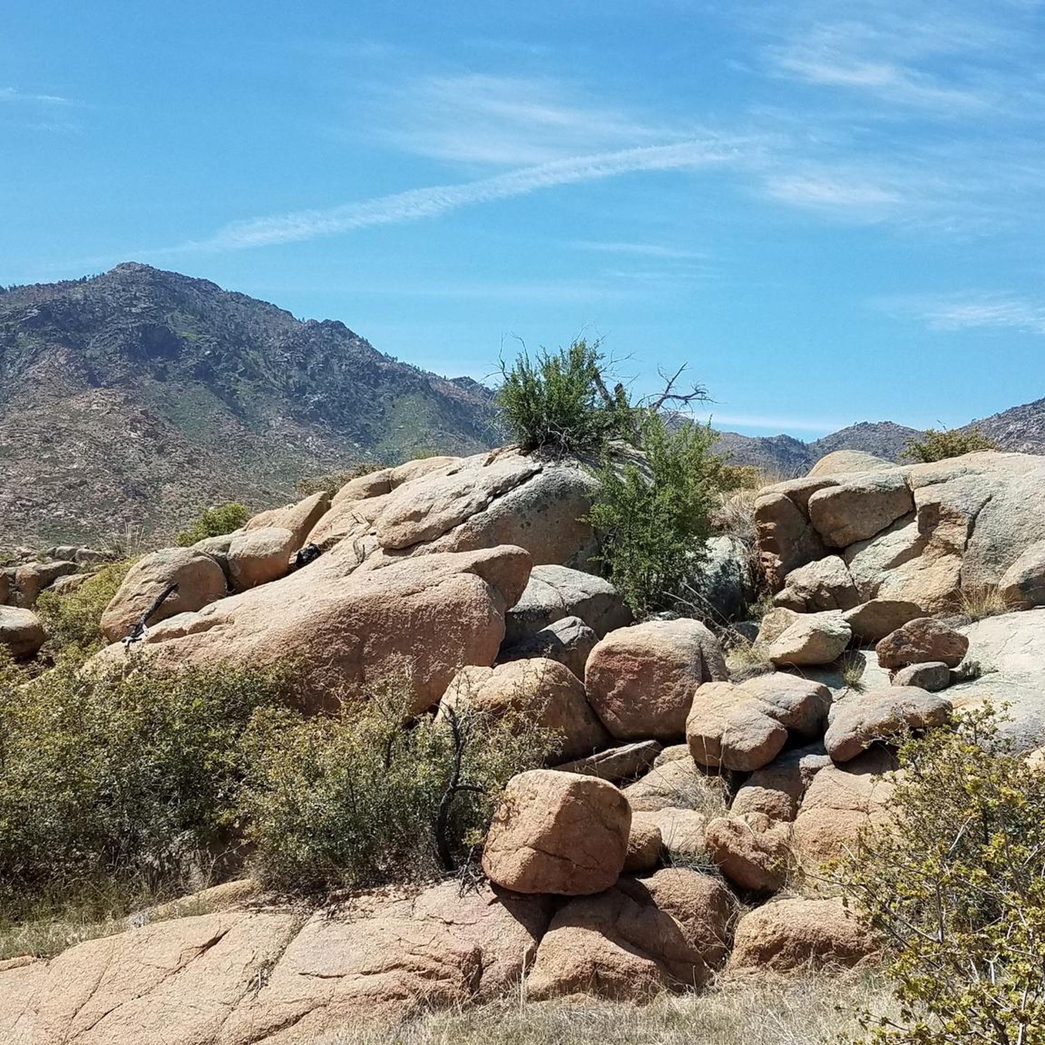
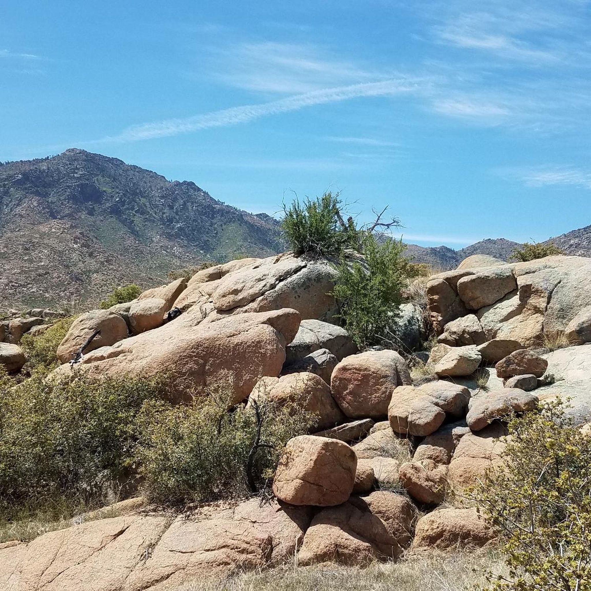
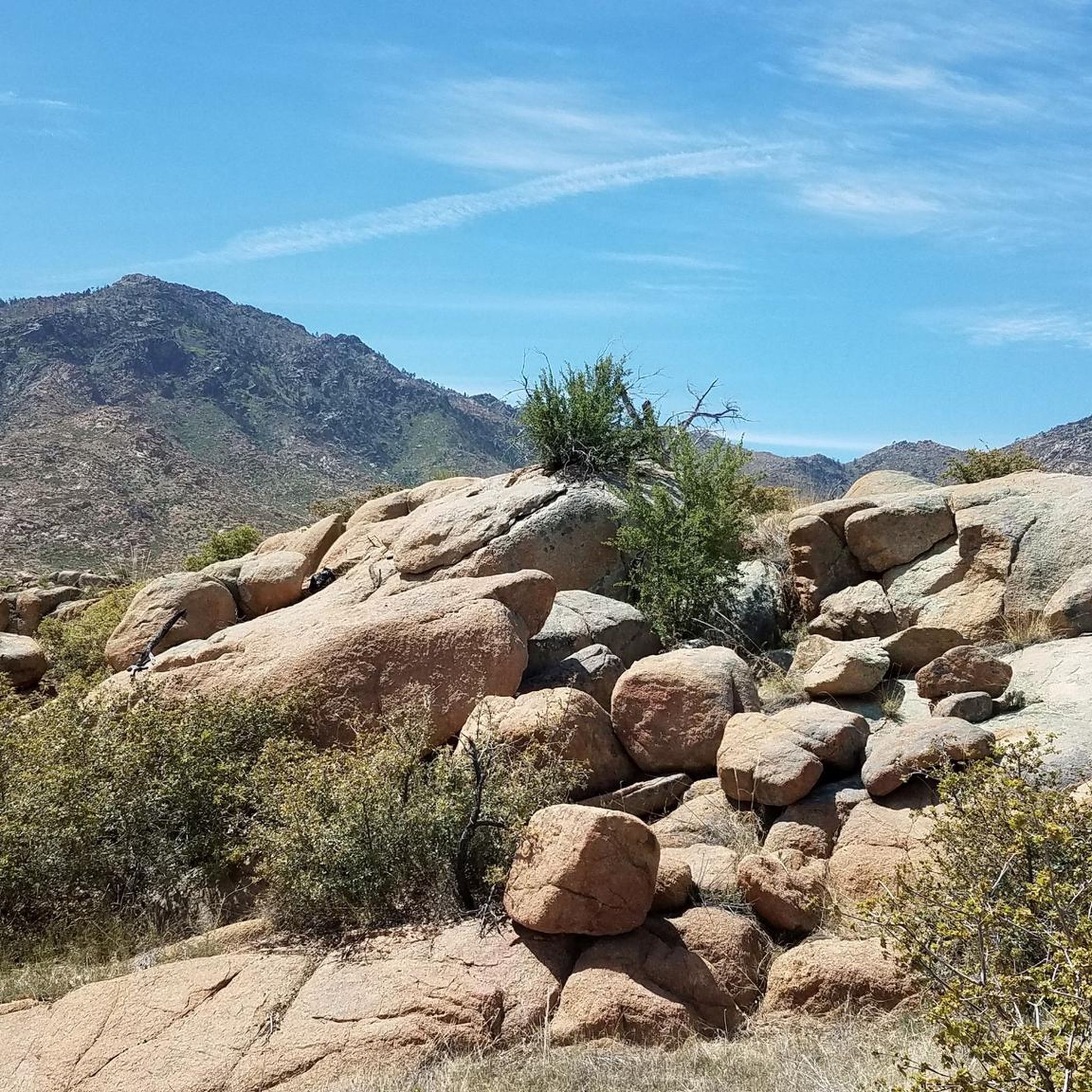
Tips from the Community


Beautiful, well maintained trail that follows the old railroad line. I particularly love the informative illustrated sign boards, old railway relics, and geology of the area. Stunning.
1
0

Drinking water now available at Peavine Trailhead
0
0

This and the Peavine trail are just about the only relatively flat gravel dirt paths in the whole Prescott area. They are therefore quite popular, and particularly for cyclists, who want to go off road, but without the rough and rocky ways of the mountains.
1
0

Beautiful pictures and a very beautiful area 😉
0
0
Beautiful area, relatively flat on Peavine trail compared to elsewhere in the area.
2
0

Wonderful area that looks great with snow and a Christmas tree
2
0

The Peavine Trail is a 6-mile dirt path that is wide, smooth, and open to a number of trail users. It connects to a bunch of other trails and is commonly used as a commuter trail. This northern section is quieter and less used than the southern miles.
1
0
Frequently Asked Questions
What kind of terrain can I expect on running routes in Chino Valley?
Chino Valley, situated in the Central Arizona Highlands, offers diverse terrain for running. You'll find wide-open spaces, high desert scenery, and rolling hills. Many routes feature dirt pathways, providing a natural running surface amidst expansive views of ranchland and distant mountains.
Are there any easy jogging routes suitable for beginners in Chino Valley?
Yes, Chino Valley has routes suitable for beginners. The Hole in the Wall Trail is an easy 2.1-mile (3.4 km) path, often completed in about 22 minutes, leading through wide-open spaces. Another easy option is the Willow Trail #347, which is 3 miles (4.8 km) long.
What are some longer running routes for experienced runners in the area?
For experienced runners looking for a challenge, the Iron King Trail – Peavine Trail loop from Tri-City College Prep High School is a difficult 15.8-mile (25.5 km) route that takes about 3 hours and 8 minutes to complete. This loop combines two well-known trails through high desert terrain, offering a substantial distance.
What is the best time of year to go jogging in Chino Valley?
Chino Valley's elevation of 4,750 feet contributes to a mild climate, making it suitable for outdoor activities like jogging for much of the year. While specific seasonal conditions can vary, the generally mild weather allows for comfortable running during most seasons.
Are there any scenic viewpoints or notable landmarks along the running trails?
Yes, several routes offer scenic views and pass by interesting landmarks. The Iron King Trail itself is a notable feature. You might also encounter the Gabriel Grande Memorial or the Constellation Trails Memorial, offering points of interest during your run.
Are there any running routes that offer a loop option?
Yes, the Iron King Trail – Peavine Trail loop from Tri-City College Prep High School is a prominent loop route. This 15.8-mile (25.5 km) trail provides a circular journey, allowing you to start and finish at the same point while experiencing varied high desert landscapes.
What do other runners say about the jogging experience in Chino Valley?
The running routes in Chino Valley are highly regarded by the komoot community, with an average score of 5.0 stars. Runners often praise the varied terrain, the wide-open spaces, and the scenic high desert environment that defines the area's trails.
Are there any moderate difficulty running routes in Chino Valley?
Absolutely. For those seeking a moderate challenge, the Mint Wash Trail is a popular choice. This 7.9-mile (12.8 km) path leads through varied high desert landscapes with gentle elevation changes. Another moderate option is the Almosta Trail #622, which is 3.6 miles (5.8 km) long.
What kind of natural features can I expect to see while running in Chino Valley?
Chino Valley's high desert scenery is characterized by rolling hills, expansive ranchland, and distant mountains. You'll experience big blue skies and potentially green meadows, especially in areas like the Sycamore Canyon Wilderness, which also boasts colorful cliffs and diverse wildlife. The trails often follow natural washes and offer views of the unique Central Arizona Highlands.
Are there any parks or recreational facilities near the running trails?
Yes, Antelope Park is a facility located near some of the running routes in Chino Valley, offering a convenient spot that could be used as a starting point or for post-run relaxation.
What is the typical elevation gain on running trails in Chino Valley?
The elevation gain varies depending on the route. For example, the easy Hole in the Wall Trail has an elevation gain of about 175 feet (53 meters), while the more challenging Iron King Trail – Peavine Trail loop features an elevation gain of around 646 feet (197 meters), providing options for different fitness levels.
Most popular routes around Chino Valley
Most popular attractions around Chino Valley

Get inspired with the komoot mobile app


Explore more
Browse the best Running Trails & Routes in other regions.
