The best mountain hikes around Cosio Di Arroscia
5.0
(2)
12
hikers
3
hikes
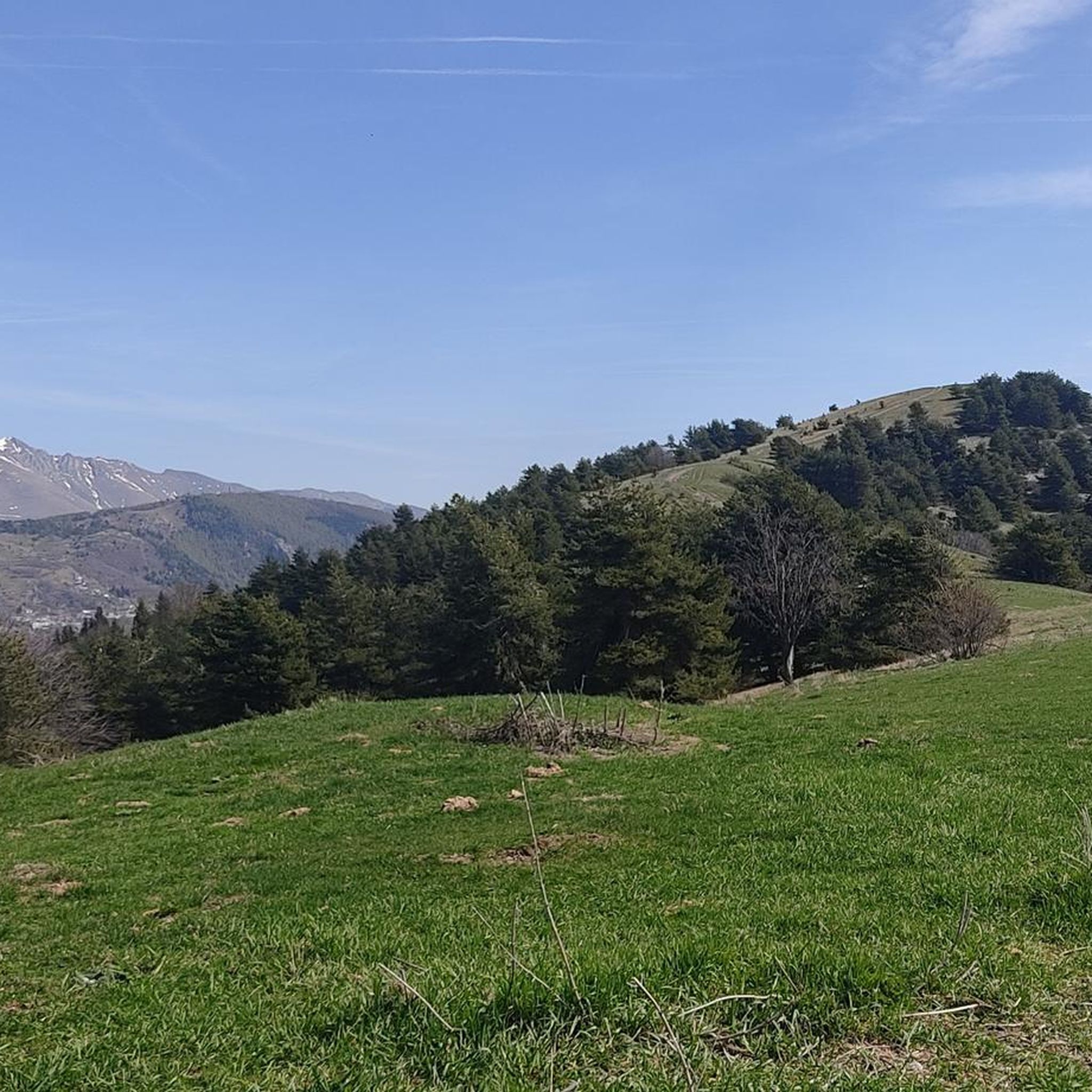
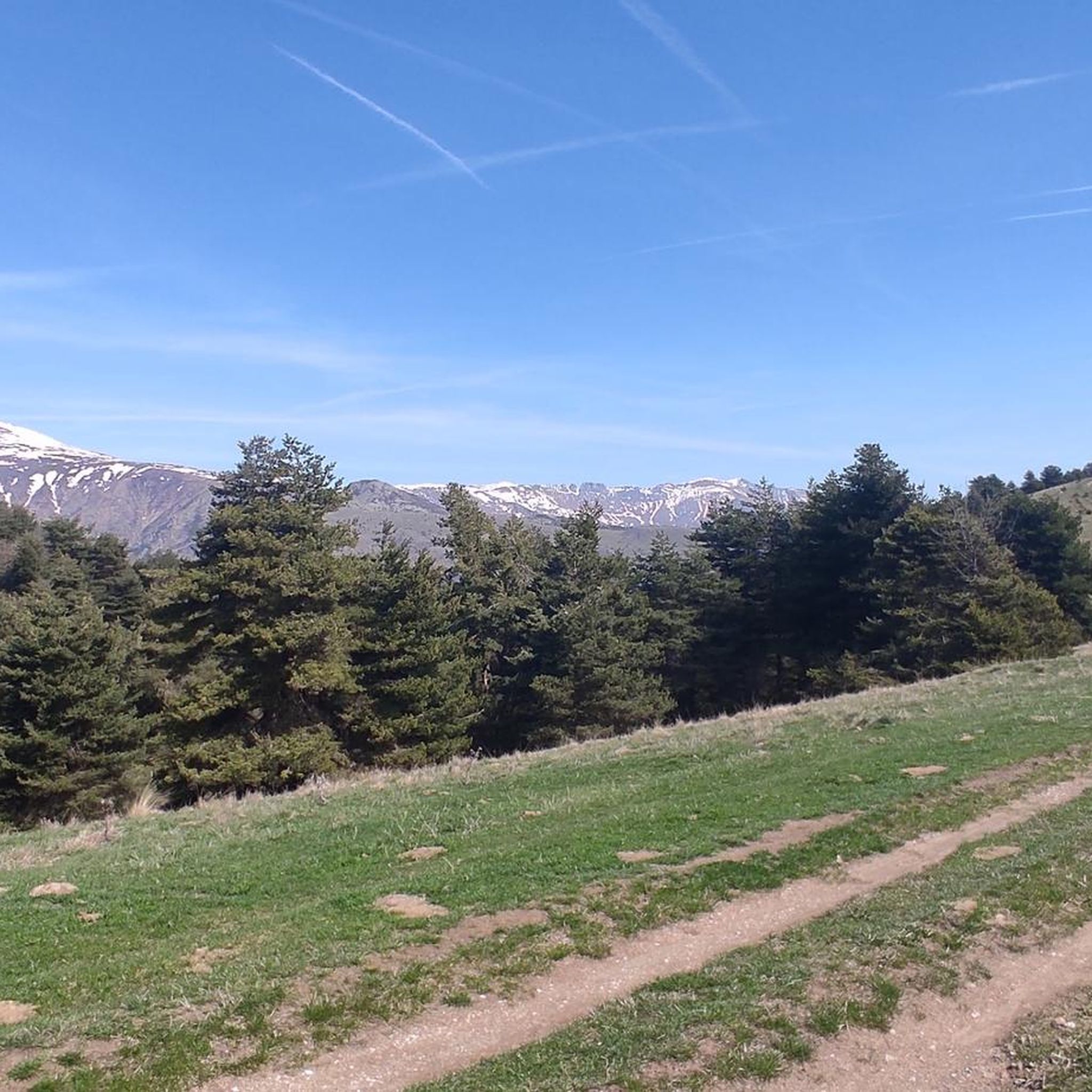
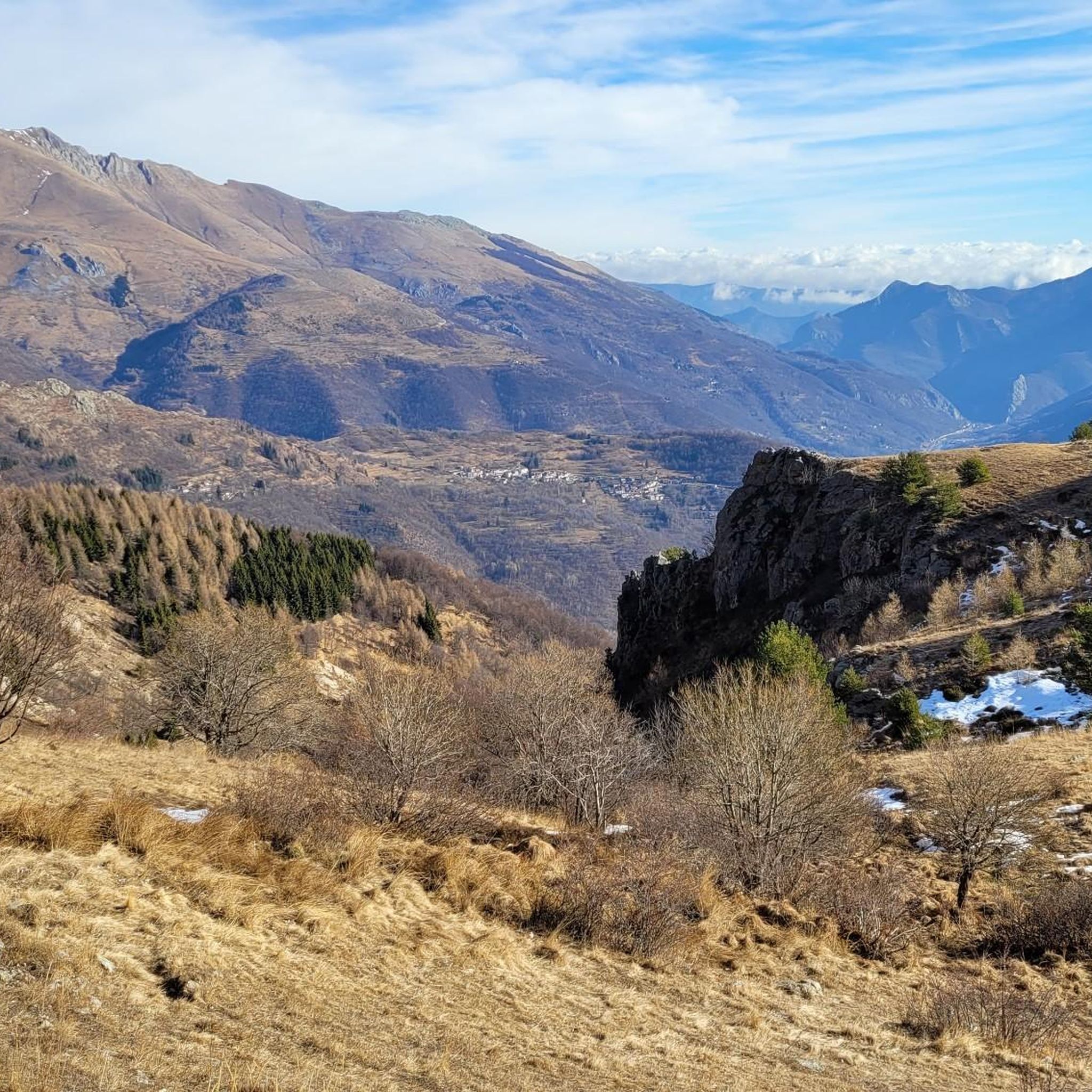
Mountaineering around Cosio Di Arroscia offers diverse terrain within the Ligurian Alps, ranging from 300 meters to over 1900 meters in elevation. The region is characterized by rugged alpine landscapes, extensive conifer forests like the Bosco delle Navette, and the protected areas of the Ligurian Alps Regional Natural Park. Notable peaks such as Monte Saccarello (2,201 meters) and Monte Mondolè provide challenging ascents and panoramic views. The village itself sits at 721 meters above sea level, serving as a base for exploring the surrounding high Arroscia valley.
Best mountaineering routes around Cosio Di Arroscia
- The most popular mountaineering route is Steep Rubble Climb loop from Viozene, a 7.3 miles (11.8 km) trail that takes 7 hours to complete. This difficult route features significant elevation gain through rugged alpine terrain.
- Another top favourite among local mountaineers is Lago Ratavuloira – Cima delle Saline loop from Cima delle Saline, a difficult 7.7 miles (12.4 km) path. This route explores high-altitude landscapes and offers views of alpine lakes.
- Local mountaineers also love the Laghetto del Marguareis – Rifugio Piero Garelli loop from Parco Naturale del Marguareis, a 3.7 miles (6.0 km) trail leading through the natural park, often completed in about 5 hours 35 minutes.
- Mountaineering around Cosio Di Arroscia is defined by rugged Ligurian Alps peaks, vast conifer forests, and protected natural parklands. The network offers options for different ability levels, from moderate ascents to challenging high-alpine routes.
- The routes in Cosio Di Arroscia are highly rated by the komoot community with an average score of 4.7 stars from over 4 reviews. More than 20 mountaineers have used komoot to explore Cosio Di Arroscia's varied terrain.
Last updated: August 4, 2026
5.0
(1)
5
hikers
Hard mountaineering route. Very good fitness required. Sure-footedness, sturdy shoes and alpine experience required.
5.0
(1)
4
hikers
15.7km
05:49
840m
840m
Hard mountaineering route. Very good fitness required. Mostly accessible paths. Sure-footedness required.

Sign up for free
3
hikers
15.1km
07:09
1,130m
1,120m
Hard mountaineering route. Very good fitness required. Mostly accessible paths. Sure-footedness required.
Our route recommendations are based on thousands of hikes, rides, and runs completed by other people on komoot.
Start today with a free account
Your next adventure awaits.
Login or Signup

Tips from the Community

Located at 1,928 meters above sea level in the heart of the homonymous Natural Park, this small alpine body of water lies in a picturesque grassy hollow right at the foot and start of the famous Torinesi and Genovesi canals. Next to the lake is the Rifugio Garelli with the adjacent botanical station "Danilo Re". Being a protected area with a very high biodiversity value, it is the ideal place to stop and observe up close the rich flora typical of the park and, with a bit of attention, spot the chamois and marmots that inhabit the area.
0
0

Bivouac in a very scenic position along the ridge that connects the Fronté to the Saccarello, in a strategic position for treks that climb from the sea to the Alps
0
0
Refuge-hotel located in a very panoramic position
0
0

Starting October 1, 2023, reservations for the Sanremo Refuge will be managed remotely using the Bivypass system, accessible at www.parks.it/rif/sanremo. Once your reservation is complete and payment is made, the system will send you a numeric code valid for one day that will open the refuge's entrance door. Guests are kindly requested to complete the attached file with their contact information and send it to inforifugio@caisanremo.it. ATTENDANCES-RIF-SANREMO For clarifications or information, please contact the following numbers: Riccardo: +39 3474031293 Alberto: +39 3272274813 or write to the dedicated email address inforifugio@caisanremo.it
0
0

Beautiful and direct ascent from Don Barbera
1
0

Bookable online by sending the access code via email. 24 beds.
0
0

The French side of the Tanarel is more suited to mountain bikes than gravel. At least half of the uphill section is unrideable, even if you're technically skilled. It's best to allow some extra time.
0
0

Superlative place for the quality of the food. The pasta is from the Porro brothers' pasta factory in Nava.
0
0
Frequently Asked Questions
What kind of terrain can I expect on mountaineering routes around Cosio Di Arroscia?
Mountaineering in this region of the Ligurian Alps offers a diverse range of terrain. You'll encounter rugged alpine landscapes, extensive conifer forests like the Bosco delle Navette, and protected areas within the Ligurian Alps Regional Natural Park. Elevations vary significantly, from 300 meters up to over 1900 meters, providing varied challenges and scenic views.
Are there any circular mountaineering routes available?
Yes, several routes offer a circular experience. For a challenging option, consider the Cima Valletta della Punta – Mont Saccarel loop from Piaggia, which covers about 15.4 km. Another demanding circular route is the Mont Saccarel – Cima Valletta della Punta loop from Verdeggia, spanning approximately 15 km.
What are some notable natural features or landmarks I might see on these routes?
The region is rich in natural beauty. You can explore the vast Bosco delle Navette, a conifer forest at around 1600 meters, or the Tanarello valley. The Arroscia torrent features impressive waterfalls, such as the Saut Waterfalls. For panoramic views, peaks like Monte Saccarello and Monte Mondolè are prominent. You might also encounter mountain passes like Colle della Boaria Hairpin on the Via del Sale or Pas du Tanarel.
What is the best time of year for mountaineering in Cosio Di Arroscia?
The Ligurian Alps around Cosio Di Arroscia offer a pleasant climate. Summers are generally cool, making them ideal for escaping coastal heat, while winters are mild due to the proximity to the Ligurian Sea. For mountaineering, late spring through early autumn typically provides the most favorable conditions, avoiding heavy snow at higher elevations and extreme summer heat at lower altitudes.
Are there any shorter mountaineering routes suitable for a quicker trip?
While many routes are quite demanding, the Laghetto del Marguareis – Rifugio Piero Garelli loop from Parco Naturale del Marguareis is a relatively shorter option at about 6 km, often completed in around 5 hours 35 minutes. It still offers a challenging experience through the natural park.
What do other mountaineers say about the routes in Cosio Di Arroscia?
The mountaineering routes in Cosio Di Arroscia are highly regarded by the komoot community, holding an average rating of 4.7 stars from over 4 reviews. Mountaineers often praise the rugged Ligurian Alps peaks, the vast conifer forests, and the protected natural parklands that define the area's challenging and rewarding experiences.
Are there any huts or refuges along the mountaineering trails?
Yes, there are several huts in the vicinity that can serve as resting points or overnight stays. Notable options include Rifugio Don Barbera and Piero Garelli Hut. These can be valuable resources for longer expeditions.
What are the difficulty levels of the mountaineering routes?
The majority of mountaineering routes around Cosio Di Arroscia are classified as difficult, featuring significant elevation gains and rugged alpine terrain. For example, the Steep Rubble Climb loop from Viozene involves over 1300 meters of ascent. There is at least one moderate option available, offering a less strenuous but still rewarding experience.
Is public transport available to reach the trailheads?
Information regarding specific public transport options directly to all trailheads from Cosio Di Arroscia is limited. It is advisable to plan for personal vehicle use or local taxi services to access more remote starting points for mountaineering routes in the Ligurian Alps.
Are there any cafes or places to eat near the mountaineering areas?
Cosio Di Arroscia itself is a charming village with a compact layout, and you can find local businesses there. While specific cafes directly at trailheads are uncommon in remote mountain areas, you can typically find places to eat and drink within the village before or after your mountaineering adventure.
Do I need any special permits for mountaineering in the Ligurian Alps Regional Natural Park?
Generally, day hiking and mountaineering in the Ligurian Alps Regional Natural Park do not require specific permits for access. However, it's always recommended to check the official park regulations for any updates or specific restrictions, especially for sensitive areas or during certain seasons.
What is the highest peak I can reach on a mountaineering route from this area?
The region offers access to significant peaks. Monte Saccarello, the highest mountain in the Ligurian region at 2,201 meters, is accessible via routes such as the Cima Valletta della Punta – Mont Saccarel loop from Piaggia. Another notable peak is Monte Mondolè, which provides challenging ascents and extensive panoramic views.
Most popular routes around Cosio Di Arroscia
Most popular attractions around Cosio Di Arroscia

Get inspired with the komoot mobile app


Explore more
Browse the best Mountain Hikes & Routes in other regions.
