The best mountain hikes around Parco nazionale dell'Appennino Tosco-Emiliano
4.8
(10)
76
hikers
13
hikes
Mountaineering routes around Parco nazionale dell'Appennino Tosco-Emiliano traverse a diverse landscape characterized by substantial mountain peaks, extensive forests, and fluctuating buttresses. The park features several peaks exceeding 2,000 meters, including Monte Cusna and Monte Prado, alongside glacial cirques, deep valleys, and numerous streams. This varied terrain offers a range of challenges for mountaineers, from alpine meadows to dense beech and fir forests.
Best mountaineering routes around Parco nazionale dell'Appennino Tosco-Emiliano
- The most popular mountaineering route is Alpe di Succiso –…
Last updated: July 31, 2026
5.0
(1)
13
hikers
11.1km
04:55
960m
960m
Hard mountaineering route. Very good fitness required. Mostly accessible paths. Sure-footedness required.
10
hikers
Moderate mountaineering route. Good fitness required. Mostly accessible paths. Sure-footedness required.

Sign up for free
2
hikers
Hard mountaineering route. Good fitness required. Sure-footedness, sturdy shoes and alpine experience required.
6
hikers
10.6km
04:39
970m
970m
Hard mountaineering route. Very good fitness required. Mostly accessible paths. Sure-footedness required.
4.0
(1)
3
hikers
8.73km
03:48
600m
600m
Moderate mountaineering route. Good fitness required. Mostly accessible paths. Sure-footedness required.
Get access to more routes and recommendations from other explorers.
Sign up for free
Already have an account?
Our route recommendations are based on thousands of hikes, rides, and runs completed by other people on komoot.
Start today with a free account
Your next adventure awaits.
Login or Signup
Popular around Parco nazionale dell'Appennino Tosco-Emiliano
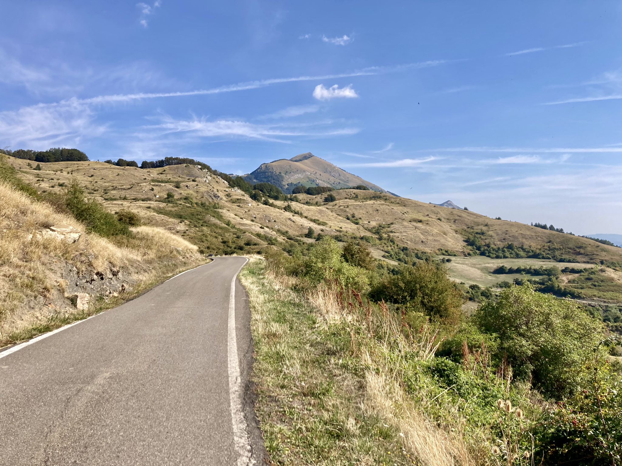
Apperò l'Appennino – five days of Italy's Emilian climbs

Apennine Cycle Route (Part 1) - From Liguria to Umbria

Berceto to Abetone – Alta Via dei Parchi (part 1)
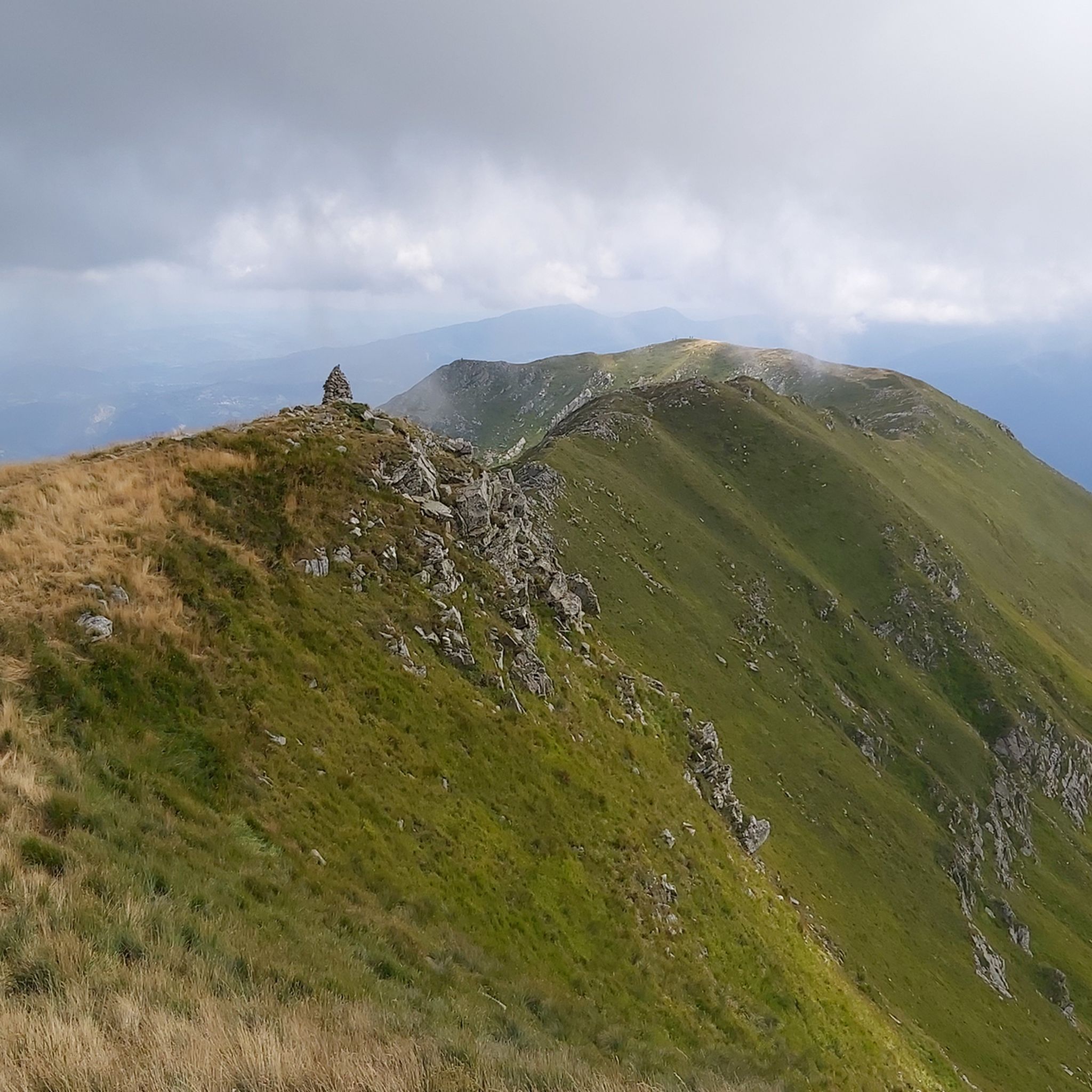
Hiking around Parco nazionale dell'Appennino Tosco-Emiliano
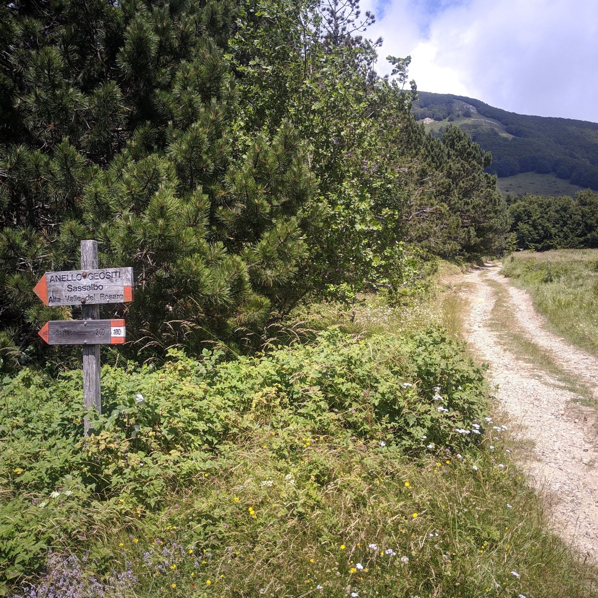
MTB Trails around Parco nazionale dell'Appennino Tosco-Emiliano
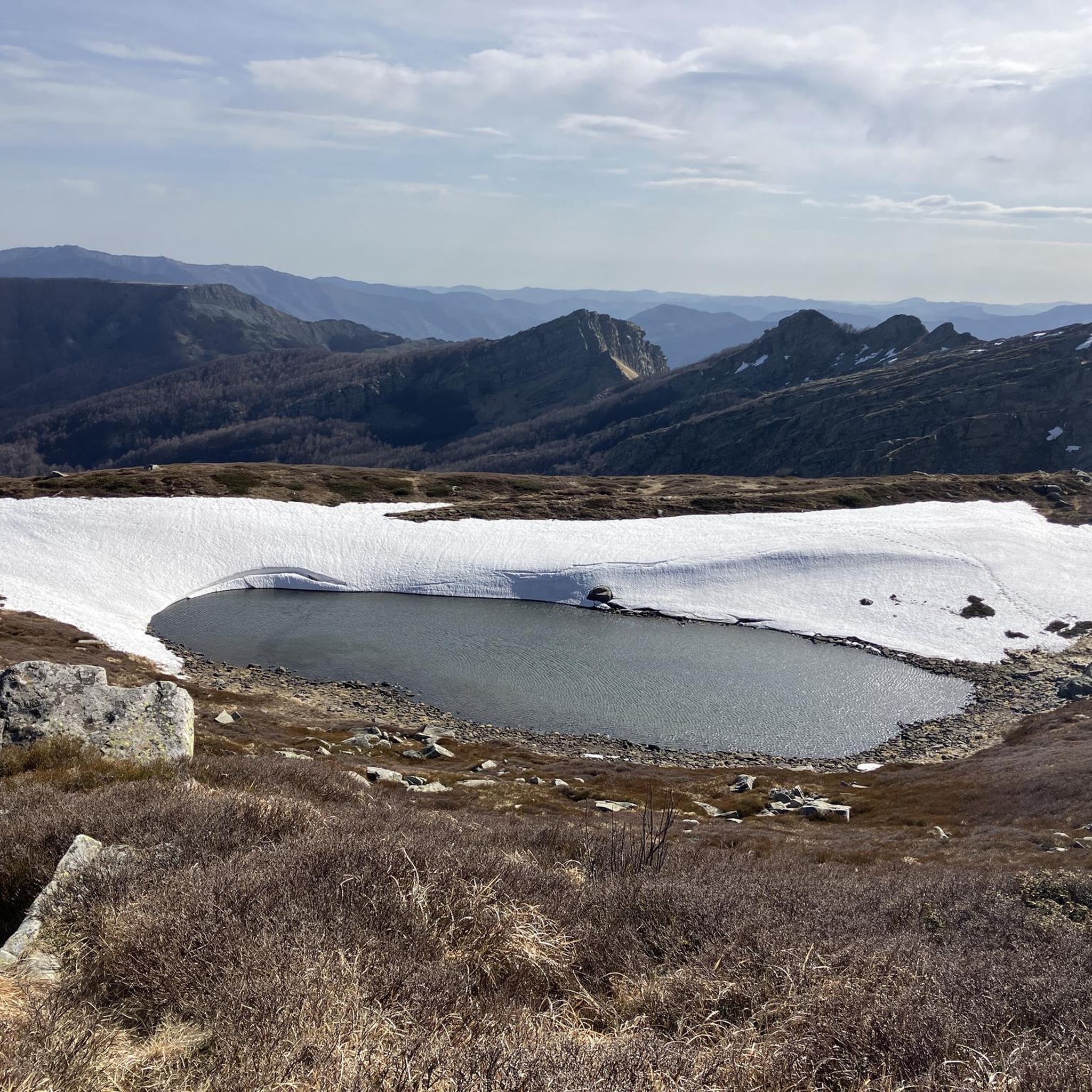
Running Trails around Parco nazionale dell'Appennino Tosco-Emiliano
Cycling around Parco nazionale dell'Appennino Tosco-Emiliano
Gravel biking around Parco nazionale dell'Appennino Tosco-Emiliano
Road Cycling Routes around Parco nazionale dell'Appennino Tosco-Emiliano
Other adventures around Parco nazionale dell'Appennino Tosco-Emiliano


Tips from the Community

The Diga del Lagastrello (officially called Diga di Lago Paduli) is an artificial dam located in the Tuscan-Emilian Apennines, at an altitude of about 1,157 meters in the municipality of Comano (Massa-Carrara), very close to the Passo del Lagastrello which separates Tuscany from Emilia-Romagna. Built between 1906 and 1910 for hydroelectric purposes by damming the Enza stream, it creates the Lago Paduli, an artificial basin that collects over 3 million cubic meters of water. From an engineering point of view, it is a notable example of an earth-fill dam with a central impermeable clay core. In December 1909, during the final stages of its construction, it suffered a partial and disastrous collapse that devastated the underlying Val Cedra, fortunately without causing any casualties.
0
0
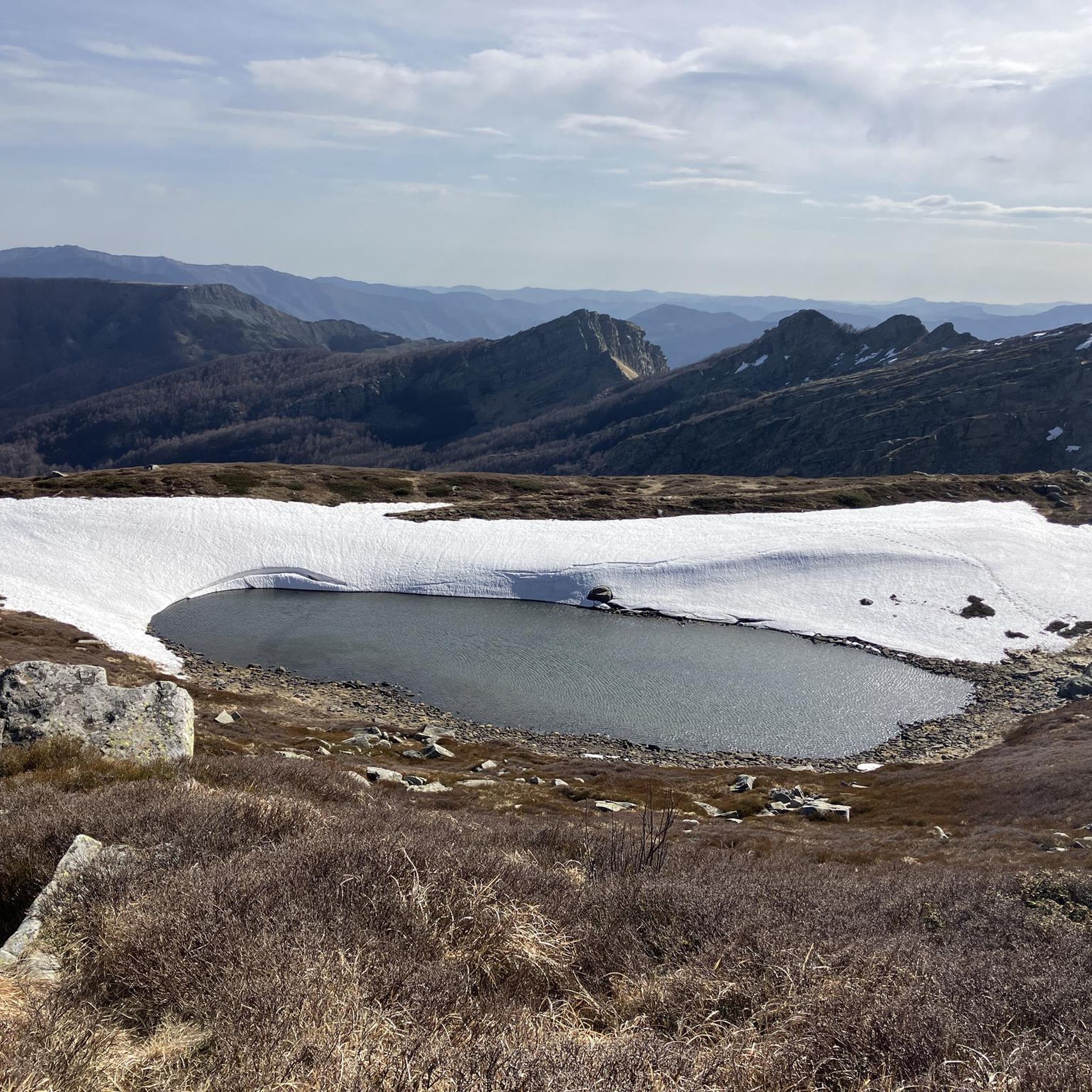
The Lago Santo Parmense is the largest glacial lake in Emilia-Romagna and the largest natural body of water in the entire northern Apennines. Located at an altitude of 1,507 meters in the municipality of Corniglio, it covers an area of over 81,000 square meters and reaches a maximum depth of 22.5 meters. It is located within the Tuscan-Emilian Apennine National Park (also known as the Park of the Hundred Lakes) and is dominated by the walls of Monte Marmagna.
0
0
Lago Santo Parmense is the largest glacial lake in Emilia-Romagna and the largest natural body of water in the entire northern Apennines. Located at an altitude of 1,507 meters in the municipality of Corniglio, it covers an area of over 81,000 square meters and reaches a maximum depth of 22.5 meters. It is located within the Tuscan-Emilian Apennine National Park (also known as Parco dei Cento Laghi) and is dominated by the walls of Monte Marmagna.
0
0

The Rifugio is closed (June 2026)
0
0

Beautiful route, with a stunning summit panorama
1
0


Nice panoramic point at the foot of M. Marmagna
0
0
A refuge on Lago Santo Parmense. Located in a magnificent setting, it's a delightful place to stop. It's managed; all the information is on the website. It can be reached on foot or by chairlift from Lagdei.
1
0
Frequently Asked Questions
How many mountaineering routes are available in Parco nazionale dell'Appennino Tosco-Emiliano?
There are over 15 mountaineering routes documented in the Parco nazionale dell'Appennino Tosco-Emiliano, offering a range of challenges from moderate ascents to more difficult, longer expeditions. The komoot community has explored these varied terrains extensively.
What are some of the most scenic viewpoints or natural features to look out for?
The park is rich in natural beauty. You can find stunning views from peaks like Monte La Nuda, which on clear days offers 360-degree panoramas stretching to the Ligurian Sea and even Corsica. Other notable features include glacial cirques, deep valleys, and pristine lakes like Lake Santo Parmense. The striking sandstone formation of Pietra di Bismantova also stands out dramatically from the landscape.
Are there any circular mountaineering routes in the park?
Yes, the park offers several circular routes. For example, the Lago di Monte Acuto loop from Passo del Lagastrello is a moderate 5.6-mile (9.1 km) trail that takes you through varied mountain landscapes. Another option is the challenging Monte La Nuda – Gendarme della Nuda loop from Cerreto Laghi, which covers 9 miles (14.5 km).
What is the best time of year for mountaineering in Parco nazionale dell'Appennino Tosco-Emiliano?
The warmer months are ideal for mountaineering, when meadows are alive with wildflowers and the weather is generally more stable. Autumn also offers a spectacular experience as the woodlands transform into vibrant reds, oranges, and golds. While winter mountaineering is possible, it requires specific gear and expertise due to snow and ice conditions.
Are there any family-friendly mountaineering routes?
While many routes are challenging, some areas offer more accessible paths suitable for families. Look for trails around the lower altitudes or near lakes, which often have gentler inclines. Always check the route's difficulty and elevation gain to ensure it matches your family's experience level.
What are the regulations for bringing dogs on trails in the park?
The Parco Nazionale dell'Appennino Tosco-Emiliano generally welcomes dogs, but specific regulations may apply to certain areas, especially those with sensitive wildlife or grazing livestock. It's always best to keep dogs on a leash and ensure you clean up after them. Check local signage or the park's official website for the most current rules.
Are there mountain huts or places to stay overnight along the routes?
Yes, there are mountain huts within and near the park. For instance, the Giovanni Mariotti Mountain Hut at Lago Santo provides amenities for mountaineers. These huts offer a place to rest, eat, and sometimes stay overnight, especially useful for multi-day excursions. It's advisable to book in advance, particularly during peak season.
What kind of wildlife can I expect to see while mountaineering?
The park is a haven for biodiversity. You might spot species such as roe deer, wild boar, and European badgers. In higher altitudes, reintroduced chamois can be seen. Birdwatchers may be lucky enough to spot golden eagles, peregrine falcons, and eagle owls soaring above the peaks.
Do I need any special permits for mountaineering in the park?
Generally, no special permits are required for day mountaineering on established trails within the Parco Nazionale dell'Appennino Tosco-Emiliano. However, if you plan to camp outside designated areas or engage in specific activities, it's always best to check with the park authority for any specific regulations or permits that might be needed.
What are the options for public transport to reach trailheads?
While some trailheads might be accessible by local bus services, public transport options can be limited in mountainous regions. It's often more convenient to reach trailheads by car. However, researching specific routes and their proximity to villages with bus connections is recommended. Parking information is usually available for popular starting points.
What is the difficulty level of mountaineering routes in this region?
The Parco nazionale dell'Appennino Tosco-Emiliano offers a range of difficulties. You'll find moderate routes like the Lake Santo Parmense – Sella del Marmagna loop, which explores scenic areas with significant elevation gain. There are also more difficult routes, such as the Monte Aquila – Bocchetta del Tavola loop, which covers over 9 miles (14.5 km) with substantial elevation changes.
Most popular routes around Parco nazionale dell'Appennino Tosco-Emiliano
Most popular attractions around Parco nazionale dell'Appennino Tosco-Emiliano

Get inspired with the komoot mobile app


Explore more
Browse the best Mountain Hikes & Routes in other regions.
