The best walks and hikes around Parco nazionale dell'Appennino Tosco-Emiliano
4.5
(4818)
23,342
hikers
368
hikes
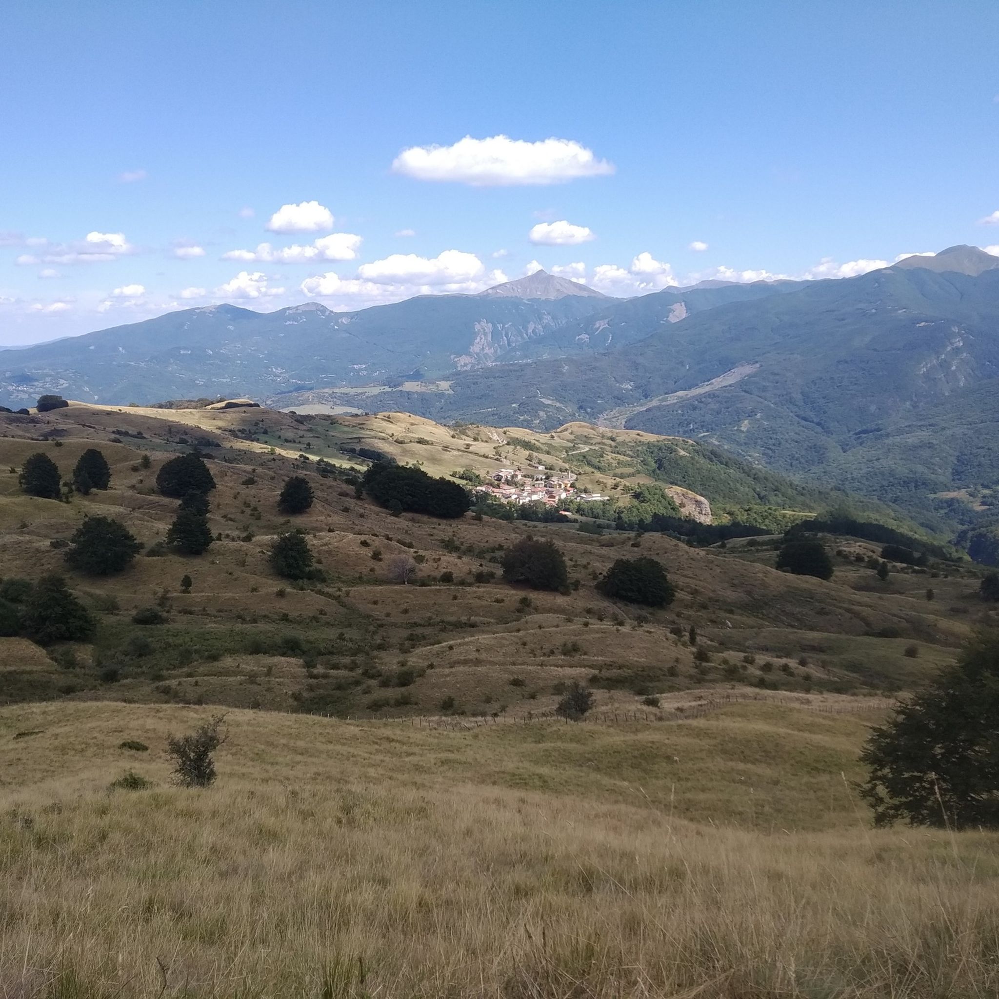
Hiking around Parco nazionale dell'Appennino Tosco-Emiliano features diverse landscapes across the Apennine mountain range, straddling Tuscany and Emilia-Romagna. The park is characterized by rugged mountain peaks, such as Monte Cusna and Monte Prado, interspersed with glacial cirques, deep valleys, and numerous streams. Vegetation ranges from dense beech and fir forests to expansive alpine meadows and ancient chestnut groves. Hikers can explore a network of trails around glacial lakes and prominent geological features like Pietra di Bismantova.
Best hiking trails around…
Last updated: August 17, 2026
4.6
(66)
231
hikers
13.1km
04:58
640m
630m
Moderate hike. Good fitness required. Mostly accessible paths. Sure-footedness required.
4.6
(77)
313
hikers
8.43km
02:41
310m
310m
Moderate hike. Good fitness required. Mostly accessible paths. Sure-footedness required.

Sign up for free
4.6
(77)
312
hikers
8.47km
02:38
300m
300m
Moderate hike. Good fitness required. Mostly accessible paths. Sure-footedness required.
4.6
(26)
110
hikers
7.30km
03:24
530m
540m
Moderate hike. Good fitness required. Mostly accessible paths. Sure-footedness required.
4.4
(24)
84
hikers
13.4km
04:57
580m
580m
Moderate hike. Good fitness required. Mostly accessible paths. Sure-footedness required.
Get access to more routes and recommendations from other explorers.
Sign up for free
Already have an account?
Our route recommendations are based on thousands of hikes, rides, and runs completed by other people on komoot.
Start today with a free account
Your next adventure awaits.
Login or Signup
Popular around Parco nazionale dell'Appennino Tosco-Emiliano

Berceto to Abetone – Alta Via dei Parchi (part 1)
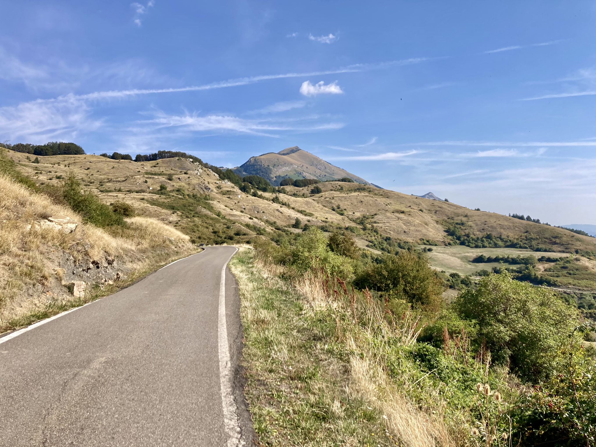
Apperò l'Appennino – five days of Italy's Emilian climbs

Apennine Cycle Route (Part 1) - From Liguria to Umbria
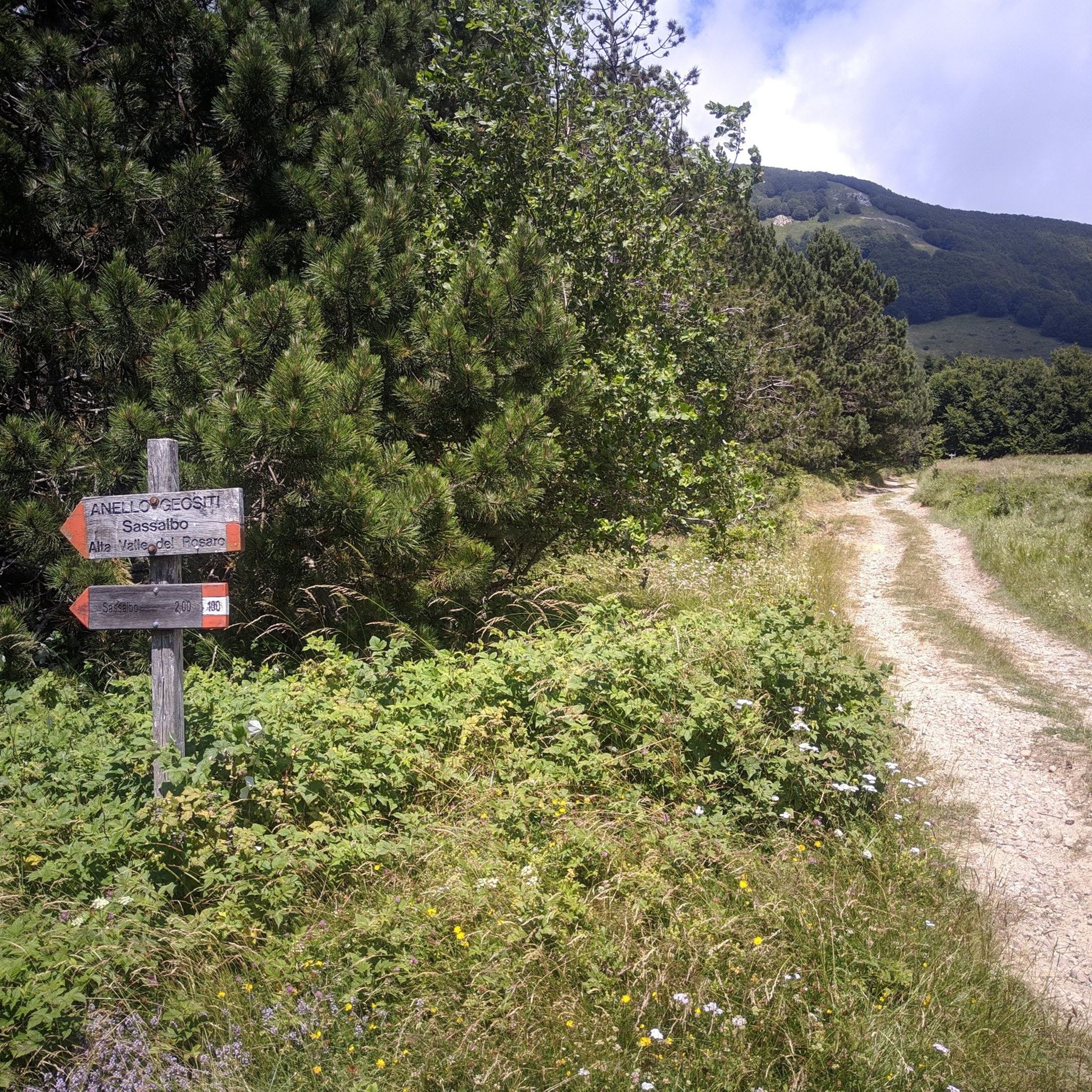
MTB Trails around Parco nazionale dell'Appennino Tosco-Emiliano
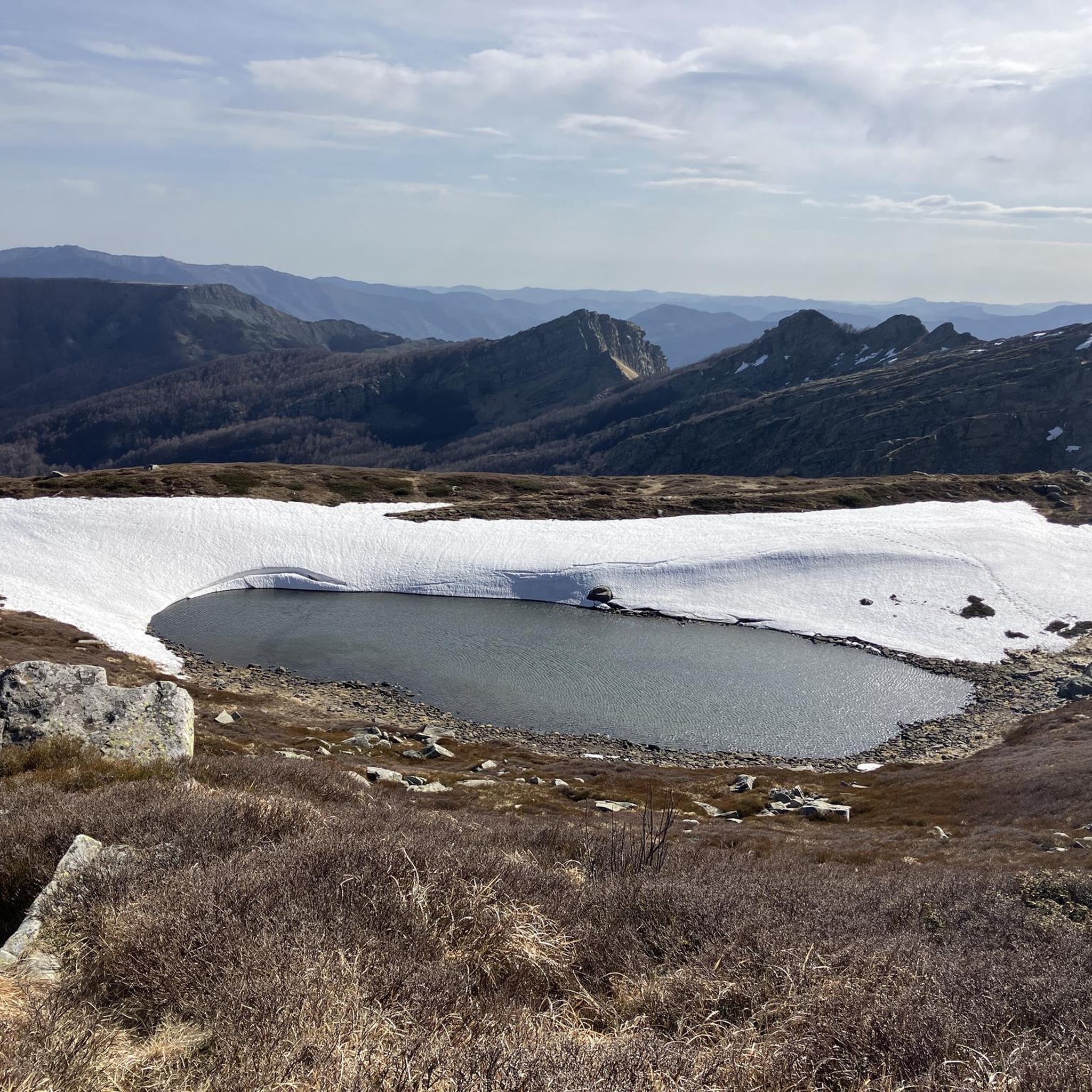
Running Trails around Parco nazionale dell'Appennino Tosco-Emiliano
Cycling around Parco nazionale dell'Appennino Tosco-Emiliano
Gravel biking around Parco nazionale dell'Appennino Tosco-Emiliano
Road Cycling Routes around Parco nazionale dell'Appennino Tosco-Emiliano

Mountain Hikes around Parco nazionale dell'Appennino Tosco-Emiliano
Other adventures around Parco nazionale dell'Appennino Tosco-Emiliano


Tips from the Community

The return from the twin lakes towards the Lagoni is quite challenging….with a bit of attention and calm it can be done…
0
0

The Diga del Lagastrello (officially called Diga di Lago Paduli) is an artificial dam located in the Tuscan-Emilian Apennines, at an altitude of about 1,157 meters in the municipality of Comano (Massa-Carrara), very close to the Passo del Lagastrello which separates Tuscany from Emilia-Romagna. Built between 1906 and 1910 for hydroelectric purposes by damming the Enza stream, it creates the Lago Paduli, an artificial basin that collects over 3 million cubic meters of water. From an engineering point of view, it is a notable example of an earth-fill dam with a central impermeable clay core. In December 1909, during the final stages of its construction, it suffered a partial and disastrous collapse that devastated the underlying Val Cedra, fortunately without causing any casualties.
0
0
Lago Santo Parmense is the largest glacial lake in Emilia-Romagna and the largest natural body of water in the entire northern Apennines. Located at an altitude of 1,507 meters in the municipality of Corniglio, it covers an area of over 81,000 square meters and reaches a maximum depth of 22.5 meters. It is located within the Tuscan-Emilian Apennine National Park (also known as Parco dei Cento Laghi) and is dominated by the walls of Monte Marmagna.
0
0

The Rifugio is closed (June 2026)
0
0

Beautiful route, with a stunning summit panorama
1
0

A refuge on Lago Santo Parmense. Located in a magnificent setting, it's a delightful place to stop. It's managed; all the information is on the website. It can be reached on foot or by chairlift from Lagdei.
1
0
There's not much to say here. Lago Santo is on the list of top places in our Apennines. A quick web search and a few photos are all it takes to understand what it's all about.
2
0

One of the most "magical" places in the park of 100 lakes
2
0
Frequently Asked Questions
How many hiking trails are available in Parco nazionale dell'Appennino Tosco-Emiliano?
There are over 360 hiking routes in Parco nazionale dell'Appennino Tosco-Emiliano, catering to various skill levels. You'll find everything from easy walks to challenging treks across the diverse landscapes of the Apennine mountain range.
What kind of terrain can I expect on the trails in this National Park?
The park features a dramatic topography, including rugged mountain peaks like Monte Cusna and Monte Prado, glacial cirques, deep valleys, and numerous streams. You'll hike through dense beech and fir forests, expansive alpine meadows, and ancient chestnut groves. Notable geological features include the striking Pietra di Bismantova.
Are there any easy or family-friendly hiking options?
Yes, the park offers a good selection of easy walks suitable for families. Out of over 360 routes, 44 are classified as easy. These trails often explore areas around the picturesque glacial lakes or through less strenuous forest paths, providing a gentle introduction to the park's beauty.
Are there any circular hiking routes in the park?
Many trails in the park are designed as circular routes, allowing you to start and end at the same point. For example, the Monte Sillara and ridge of the lakes – loop tour is a popular option, offering stunning views and a complete circuit.
What are some notable natural attractions or landmarks to see while hiking?
The park is rich in natural beauty and historical sites. You can explore numerous glacial lakes such as Lago Santo, Lago Paduli, and Lago Squincio. Prominent landmarks include the dramatic Pietra di Bismantova rock formation, the ancient Lagastrello Dam, and various mountain passes like Pradarena Pass. The Celestial Trail specifically connects glacial lakes, ancient springs, and sites of historical significance.
What is the best time of year to go hiking in Parco nazionale dell'Appennino Tosco-Emiliano?
The warmer months are ideal for experiencing the expansive alpine meadows bursting with wildflowers. Autumn transforms the woodlands into a vibrant display of red, orange, and gold foliage, offering spectacular scenery for hiking. While winter hiking is possible, conditions can be challenging, especially at higher altitudes.
Are there any trails that offer panoramic views?
Absolutely. Many ridge paths provide panoramic views over the Lunigiana Valley, the Apuan Alps, and even the sea on clear days. Routes around higher peaks like Monte Cusna and Monte Prado, or the Monte Sillara and ridge of the lakes – loop tour, are known for their expansive vistas.
What is the typical duration for a hike in this region?
Hike durations vary significantly. You can find shorter walks, like the two-hour 'Passo del Lagastrello - Anello del lago Paduli e lago Squincio' mentioned in regional research, or longer routes such as the Monte Sillara and ridge of the lakes – loop tour, which typically takes around 5 hours.
What kind of wildlife might I encounter while hiking?
The park is a haven for wildlife. You might spot the Apennine wolf, roe deer, wild boar, and European badger. Chamois thrive in higher altitudes. Birdwatchers can look for golden eagles, peregrine falcons, and eagle owls. The diverse ecosystems also support rare butterflies and amphibians like salamanders.
Are there any specific permits required for hiking in the National Park?
Generally, no specific permits are required for day hiking on marked trails within Parco Nazionale dell'Appennino Tosco-Emiliano. However, it's always advisable to check the official park website or local information centers for any specific regulations, especially for multi-day treks or protected areas.
What do other hikers say about the trails in Parco nazionale dell'Appennino Tosco-Emiliano?
The trails in Parco nazionale dell'Appennino Tosco-Emiliano are highly rated by the komoot community, with an average score of 4.5 stars from over 2,100 reviews. Hikers often praise the diverse landscapes, the well-maintained paths, and the stunning views, especially around the glacial lakes and mountain ridges.
Are there any historical sites or cultural points of interest along the hiking routes?
Yes, beyond its natural beauty, the park features several historical sites. These include the Fortezza delle Verrucole, an Archeopark offering a glimpse into late 13th-century life, and the Santuario della Madonna della Guardia on Monte Argegna. You can also find ancient hospitale medievale del Passo di Tea, located on the Apennine watershed.
Most popular routes around Parco nazionale dell'Appennino Tosco-Emiliano
Most popular attractions around Parco nazionale dell'Appennino Tosco-Emiliano

Get inspired with the komoot mobile app


Explore more
Browse the best Hikes in other regions.
