The best gravel rides around Parco nazionale dell'Appennino Tosco-Emiliano
4.9
(25)
268
riders
14
rides
Gravel biking around Parco nazionale dell'Appennino Tosco-Emiliano offers diverse terrain across rugged mountain peaks, dense forests, and deep valleys. The region features numerous streams and glacial lakes, providing varied landscapes for cycling. White roads and secondary asphalt roads are common, connecting areas from rolling foothills to alpine meadows. The iconic Pietra di Bismantova also rises abruptly, adding a unique geological feature to the park's environment.
Best gravel bike trails around Parco nazionale dell'Appennino Tosco-Emiliano
- The most popular gravel bike trail…
Last updated: August 1, 2026
5.0
(4)
42
riders
50.7km
04:13
1,630m
1,630m
Hard gravel ride. Very good fitness required. You may need to push your bike for some segments of this route.
5.0
(1)
8
riders
28.2km
02:29
970m
970m
Hard gravel ride. Very good fitness required. You may need to push your bike for some segments of this route.

Sign up for free
5
riders
27.4km
02:45
910m
910m
Hard gravel ride. Very good fitness required. Mostly paved surfaces. Suitable for all skill levels.
3
riders
85.4km
07:36
3,260m
3,260m
Hard gravel ride. Very good fitness required. Mostly paved surfaces. Suitable for all skill levels.
4.8
(5)
49
riders
114km
08:06
2,130m
2,120m
Hard gravel ride. Very good fitness required. Mostly paved surfaces. Suitable for all skill levels.
Get access to more routes and recommendations from other explorers.
Sign up for free
Already have an account?
Our route recommendations are based on thousands of hikes, rides, and runs completed by other people on komoot.
Start today with a free account
Your next adventure awaits.
Login or Signup
Popular around Parco nazionale dell'Appennino Tosco-Emiliano
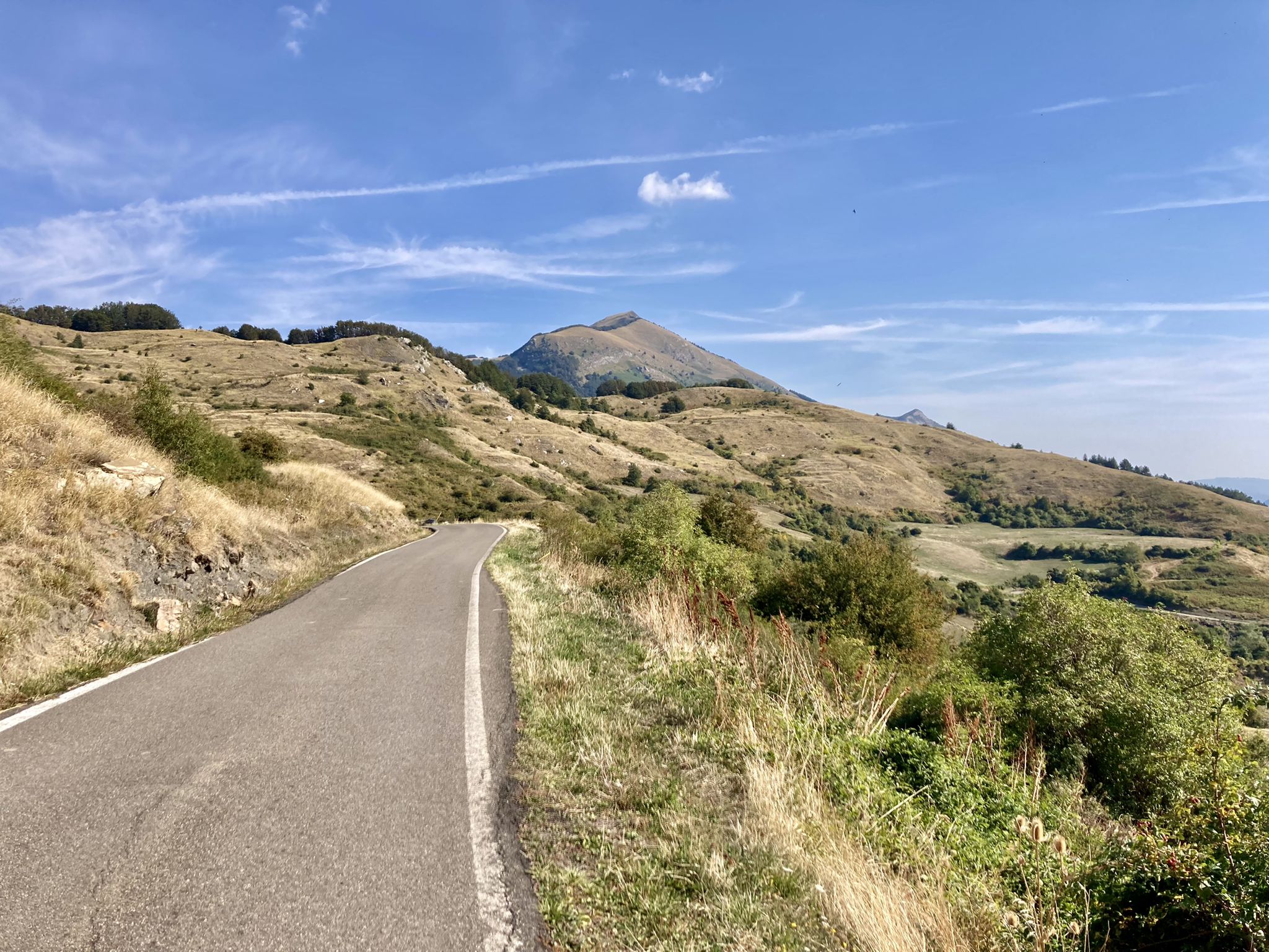
Apperò l'Appennino – five days of Italy's Emilian climbs

Apennine Cycle Route (Part 1) - From Liguria to Umbria

Berceto to Abetone – Alta Via dei Parchi (part 1)
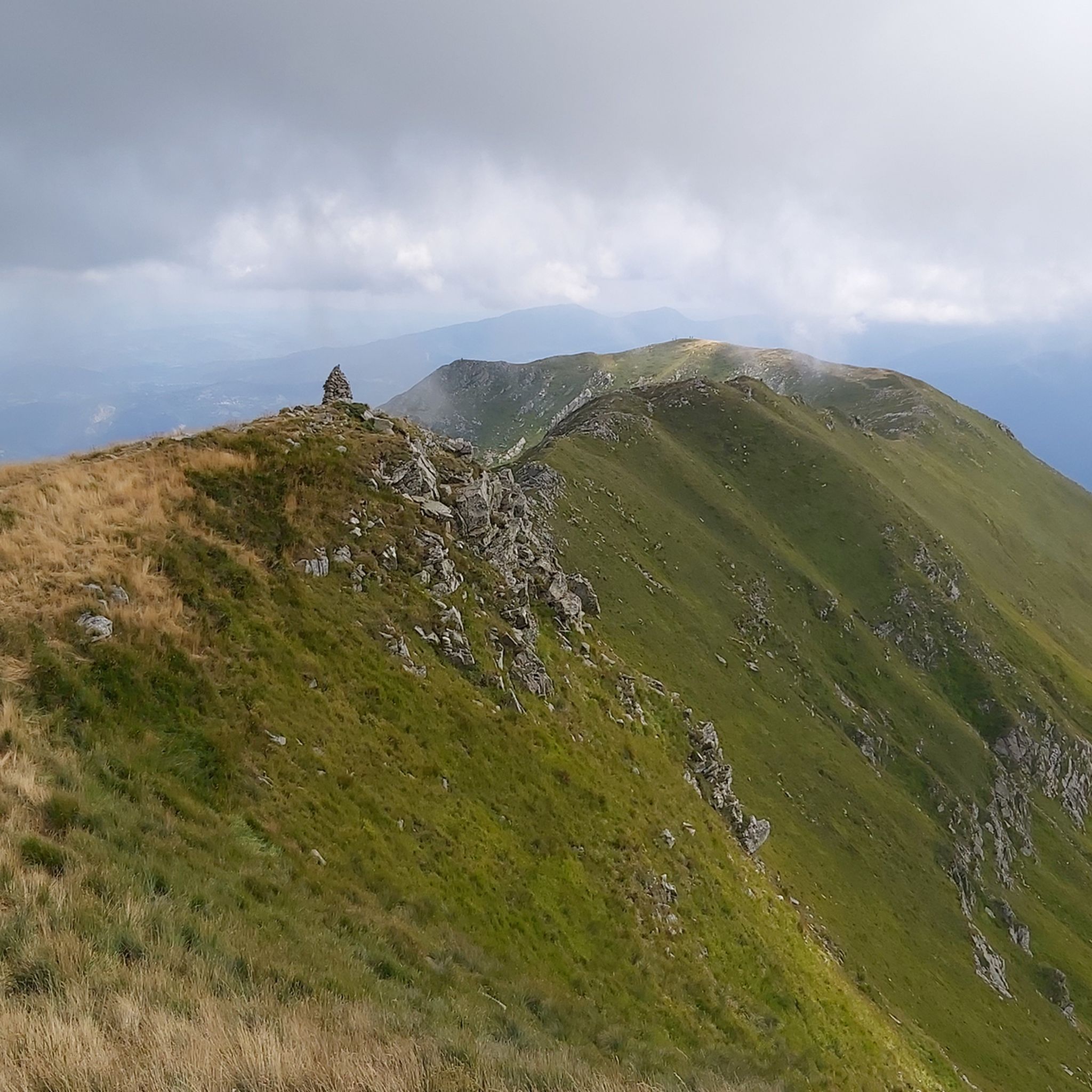
Hiking around Parco nazionale dell'Appennino Tosco-Emiliano
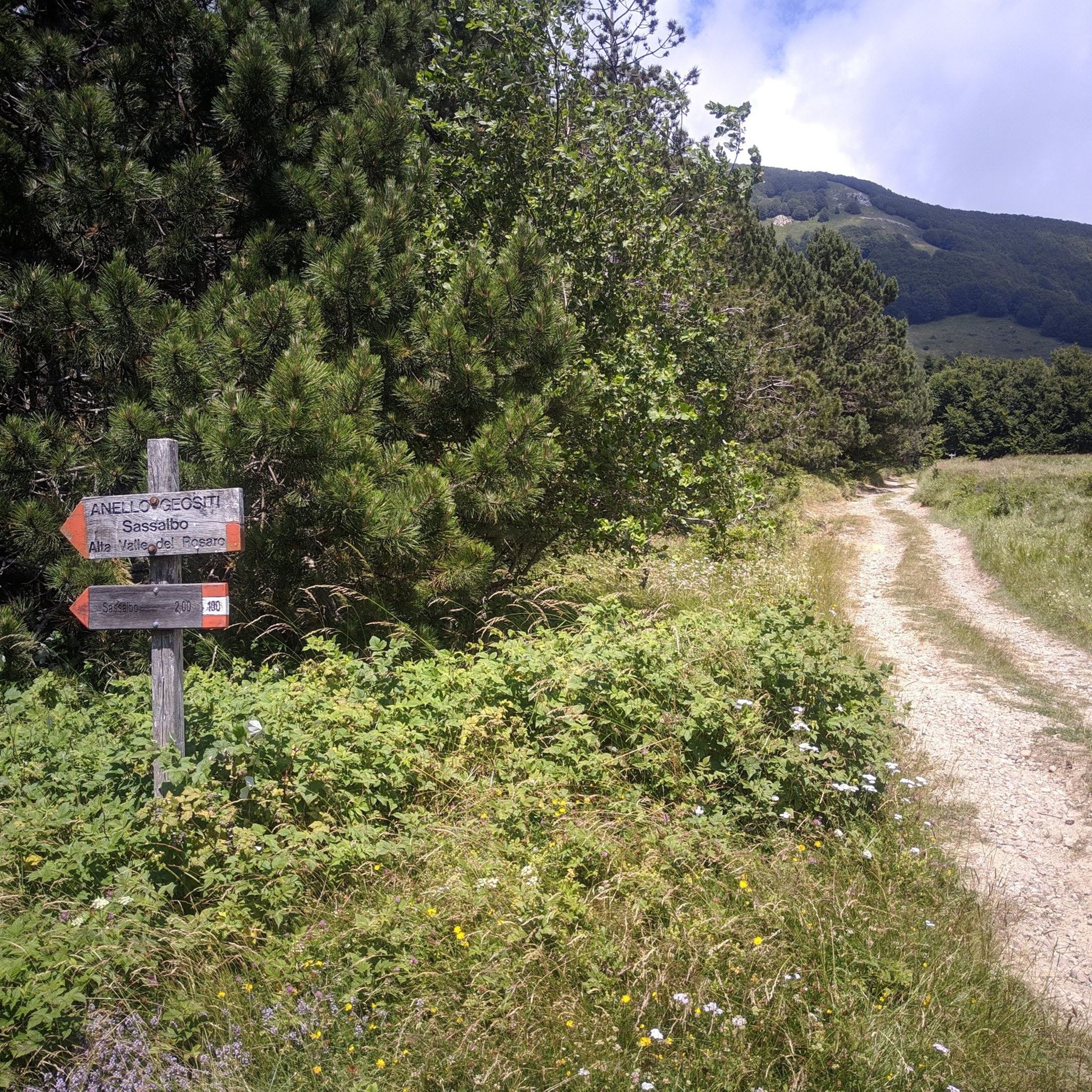
MTB Trails around Parco nazionale dell'Appennino Tosco-Emiliano
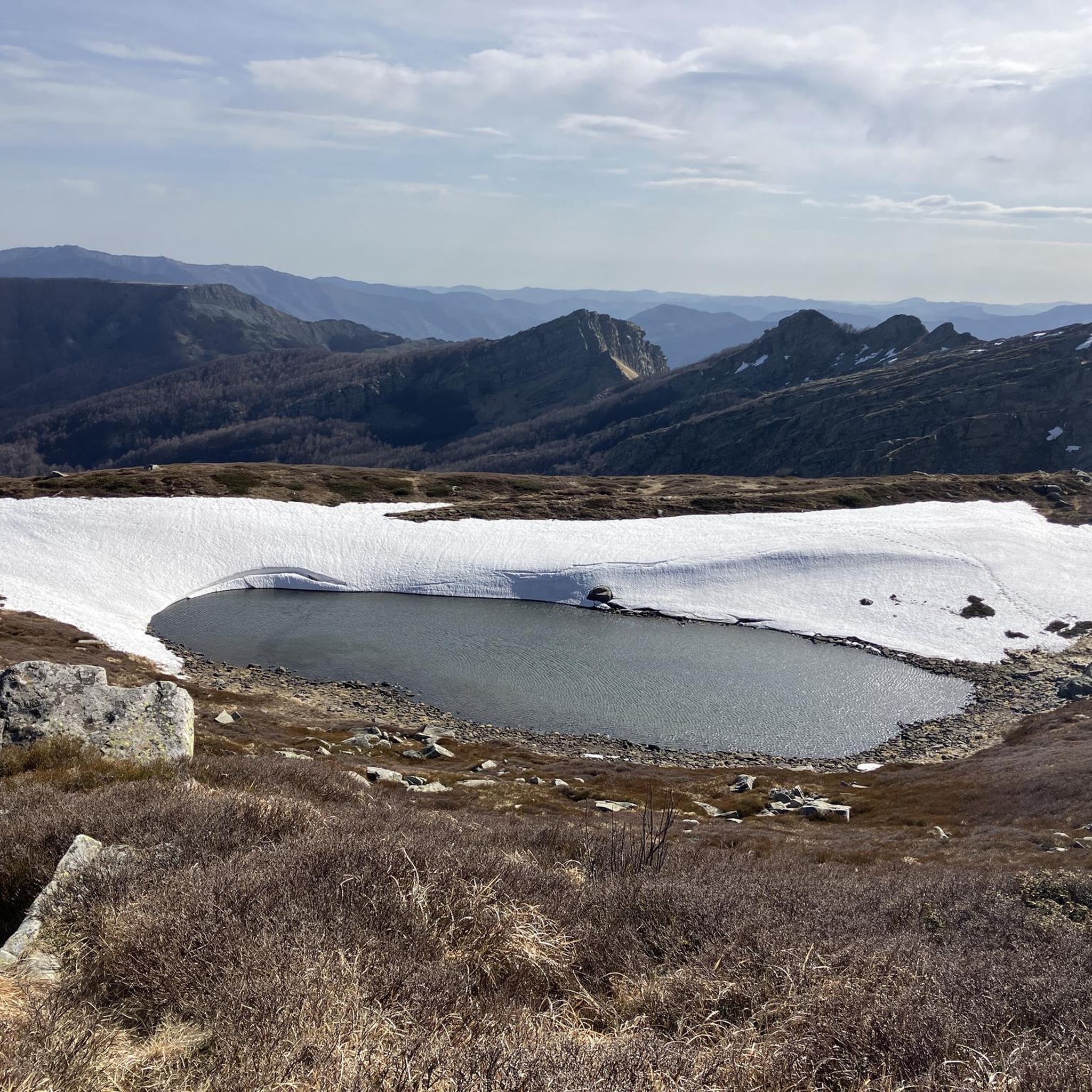
Running Trails around Parco nazionale dell'Appennino Tosco-Emiliano
Cycling around Parco nazionale dell'Appennino Tosco-Emiliano
Road Cycling Routes around Parco nazionale dell'Appennino Tosco-Emiliano

Mountain Hikes around Parco nazionale dell'Appennino Tosco-Emiliano
Other adventures around Parco nazionale dell'Appennino Tosco-Emiliano


Tips from the Community

The Torre del Castello Malaspina in the municipality of Villafranca in Lunigiana mainly refers to the imposing and famous cylindrical structure of the Castello Malaspina di Malgrate, although in the municipal capital there are also the ruins of the Castello di Malnido, the historic Dantesque residence of the Malaspina marquises, which was also originally equipped with a control tower. The best-preserved and famous fortification with its slender tower is located precisely in the hamlet of Malgrate. The cylindrical keep towers over the valley and is an unmistakable symbol of the Lunigiana landscape.
0
0
Il Ponte della Crësa is an ancient 14th-century stone bridge located in Pontremoli, Tuscany. It connects the medieval historic village and joins the Sommoborgo area to the Verde stream. It is also known as the San Francesco bridge Built in the 14th century (around 1219 as the original core near the church of San Francesco). Also called the San Francesco di sopra bridge because it leads to the nearby church of San Francesco. It united the ancient parts of the city divided by historical rivalries and served as access to the fortified village
0
0

rifugio Bargettana with its raspberry valley
0
0
The Rifugio Bargetana is an alpine structure located at 1,740 meters above sea level in the upper Val d'Ozola, in the heart of the Tuscan-Emilian Apennine National Park at the foot of Monte Prado. It is family-run and is about a 15-minute walk from the homonymous glacial lake of Bargetana.
0
0
The Passo di Lama Lite is a very important mountain pass located at an altitude of 1,749 meters in the Alto Appennino Reggiano, on the border between Emilia-Romagna and Tuscany. It is located in the heart of the Tuscan-Emilian Apennine National Park. This pass serves as a fundamental watershed between the valley of the Dolo stream and the valley of the Ozola stream, positioned at the foot of the Monte Prado massif and offering a splendid view of Monte Cusna.
0
0

Last stretch to get to Tavola quite steep. Very scenic forest road.
0
0
Beautiful place, if you want to reach the refuge by car, arm yourself with patience, the last stretch is unpaved (great for cycling)
0
0

We parked there for a mountain bike ride. It's very picturesque, and there are even some picnic tables.
0
0
Frequently Asked Questions
What kind of terrain can I expect on gravel bike trails in Parco Nazionale dell'Appennino Tosco-Emiliano?
The park offers a diverse mix of terrain, from rugged mountain peaks and dense forests to deep valleys and glacial lakes. You'll encounter a network of trails, white roads (strade bianche), and secondary asphalt roads. Expect challenging climbs, exhilarating descents, and sections that can be muddy and technical, especially through high-mountain grasslands and beech and conifer woods.
Are there any easy or beginner-friendly gravel bike routes in the park?
The gravel bike routes in Parco Nazionale dell'Appennino Tosco-Emiliano are generally considered challenging. All 16 routes currently listed are rated as difficult, featuring significant elevation gains and varied terrain. While there are no explicitly 'easy' routes, experienced riders will find plenty to explore.
What are some notable natural features or landmarks I can see while gravel biking?
The park is rich in natural beauty. You can encounter stunning glacial lakes like Lago Santo, Lago Paduli, and Lago Squincio. The iconic Pietra di Bismantova, a striking sandstone plateau, offers magnificent views. Mountain passes such as Pradarena Pass and Silara Pass also provide scenic viewpoints. You might also pass by mountain huts like Giovanni Mariotti Mountain Hut at Lago Santo or Lagdei Hut.
Are there any long-distance gravel biking options in the region?
Yes, for those seeking a longer challenge, the region offers routes like the Piazzetta di Ponticello – Bagnone loop from Bagnone. This route spans 116.1 km with over 2,189 meters of elevation gain, providing a demanding and extensive gravel biking experience.
What is the best time of year to go gravel biking in Parco Nazionale dell'Appennino Tosco-Emiliano?
The warmer months are generally ideal for gravel biking, as meadows are alive with wildflowers and the weather is more stable. Autumn also offers a spectacular display of red, orange, and gold foliage, though conditions can become muddier and more technical. Always check local weather forecasts before heading out, especially for higher elevations.
Can I find circular gravel bike routes in the park?
Yes, many of the gravel routes in the park are designed as loops, allowing you to start and finish in the same location. An example is the Lake Gramolazzo – Lake Gramolazzo loop from Piazza al Serchio, which covers 37.5 km and offers a scenic circular ride.
What do other gravel bikers say about the trails in Parco Nazionale dell'Appennino Tosco-Emiliano?
The gravel biking routes in Parco Nazionale dell'Appennino Tosco-Emiliano are highly regarded by the komoot community, with an average rating of 5.0 stars from over 12 reviews. Riders often praise the challenging nature of the trails, the stunning mountain landscapes, and the immersive experience through dense forests and past glacial lakes.
Are there any routes that pass by mountain huts for rest and refreshments?
Absolutely. Several routes will take you past mountain huts that offer opportunities for rest and refreshment. For instance, the Fountain of Roncobuono – Lagdei Hut loop from Bosco di Corniglio traverses forested areas and leads directly to mountain huts, providing convenient stops along your ride.
What are the typical elevations and distances for gravel bike routes in this park?
The gravel bike routes in Parco Nazionale dell'Appennino Tosco-Emiliano vary significantly. Distances can range from around 28 km, such as the Monte Tondo Hut – Passo dei Carpinelli loop from Sermezzana with 939 meters of elevation gain, to over 116 km with more than 2,189 meters of climbing. Expect substantial elevation changes on most routes, as they navigate rugged mountain terrain.
Is it possible to access the gravel trails using public transport?
While specific public transport connections directly to trailheads can be limited in a national park setting, some villages and towns on the periphery of Parco Nazionale dell'Appennino Tosco-Emiliano may offer bus or train services. It's advisable to research local transport options to your chosen starting point, keeping in mind that you might need to cycle a short distance to reach the main gravel routes.
Are there any specific attractions or points of interest near the trails that are worth visiting?
Beyond the natural beauty of the trails themselves, you can find several points of interest. The Lagastrello Dam and Lago Verde Dam are notable man-made structures. The park also features several picturesque lakes like Lake Pranda. For panoramic views, consider routes that pass near Mount Sillara.
Most popular routes around Parco nazionale dell'Appennino Tosco-Emiliano
Most popular attractions around Parco nazionale dell'Appennino Tosco-Emiliano

Get inspired with the komoot mobile app


Explore more
Browse the best Gravel rides in other regions.
