The best gravel rides in Briar Summit Open Space Preserve
48
riders
7
rides
Gravel biking in Briar Summit Open Space Preserve offers diverse terrain with varying elevations across its 90 acres. The preserve features a network of unpaved service roads and dirt trails, providing a natural cycling experience. Its landscape is characterized by chaparral, coastal sage scrub, and oak woodland plant communities, alongside rugged canyon landscapes. Panoramic views of Los Angeles, including the San Fernando Valley and surrounding mountains, are available from elevated vantage points.
Best gravel bike trails in Briar Summit Open…
Last updated: November 12, 2026
1
riders
Hard gravel ride. Very good fitness required. Mostly paved surfaces.
5
riders
27.5km
02:38
830m
830m
Hard gravel ride. Very good fitness required. Mostly paved surfaces.

3
riders
15.6km
01:04
250m
250m
Moderate gravel ride. Good fitness required. Mostly paved surfaces.
5
riders
39.2km
03:02
860m
860m
Hard gravel ride. Very good fitness required. Mostly paved surfaces.
3
riders
25.8km
01:59
520m
520m
Hard gravel ride. Very good fitness required. Mostly paved surfaces.
Get access to more routes and recommendations from other explorers.
Already have an account?
Our route recommendations are based on thousands of hikes, rides, and runs completed by other people on komoot.
Start today with a free account
Your next adventure awaits.
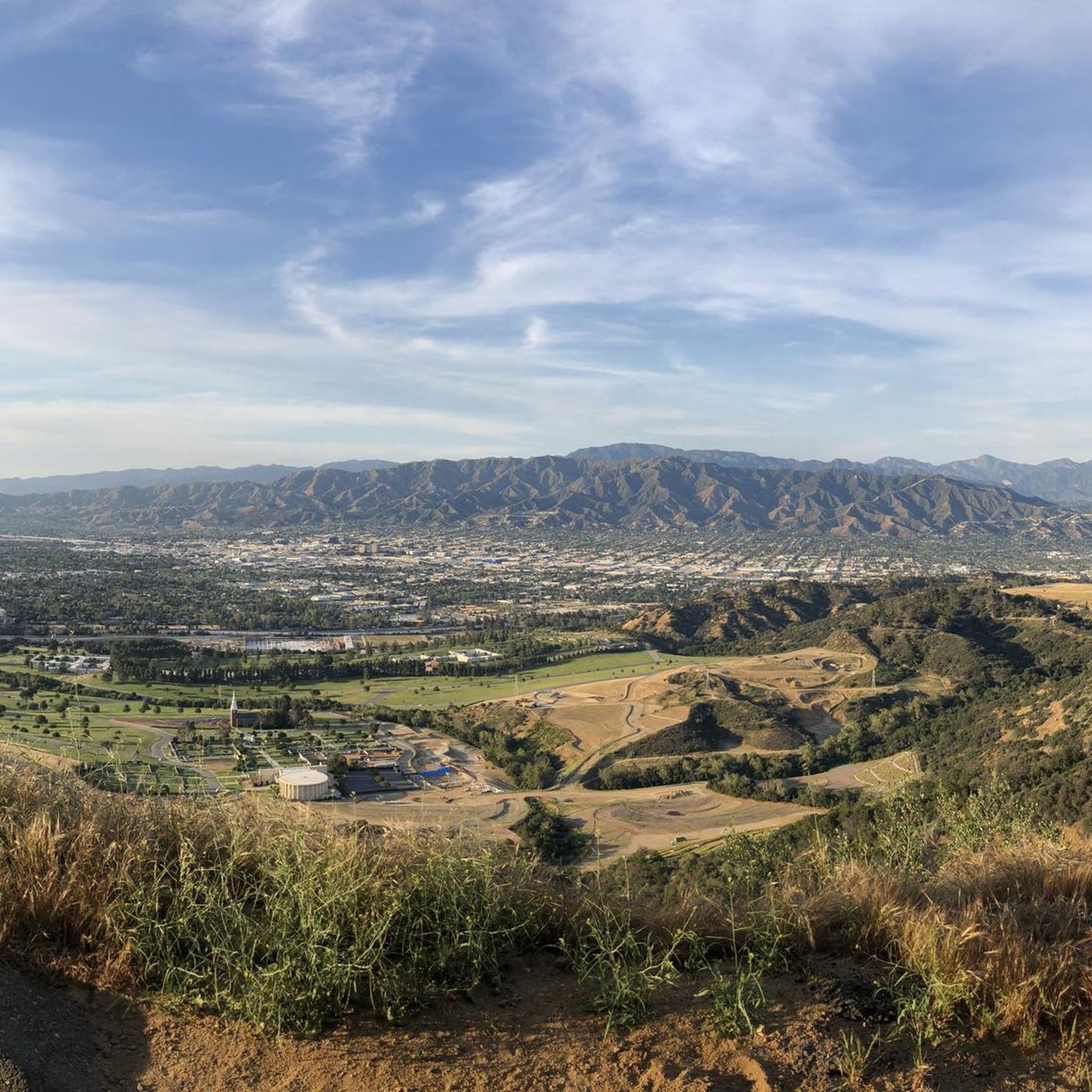

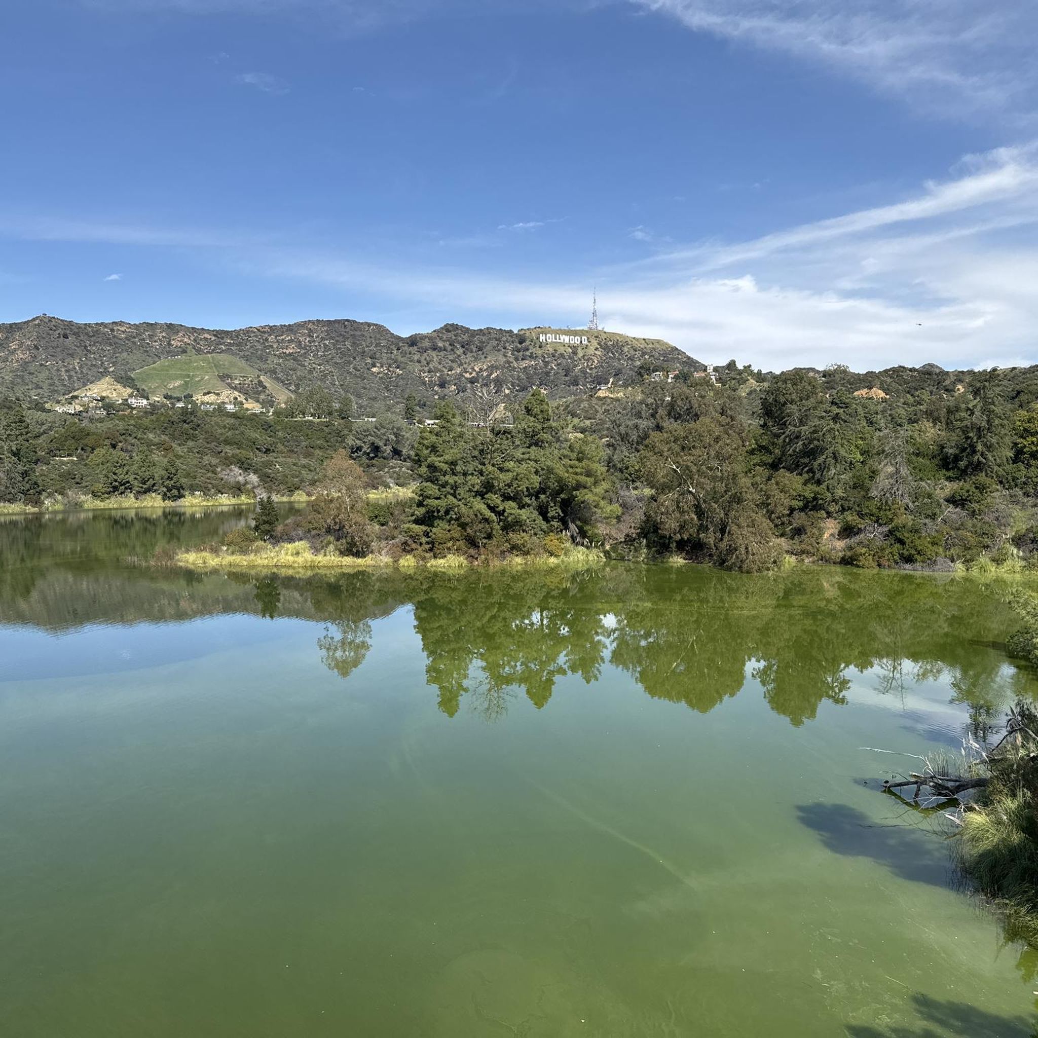
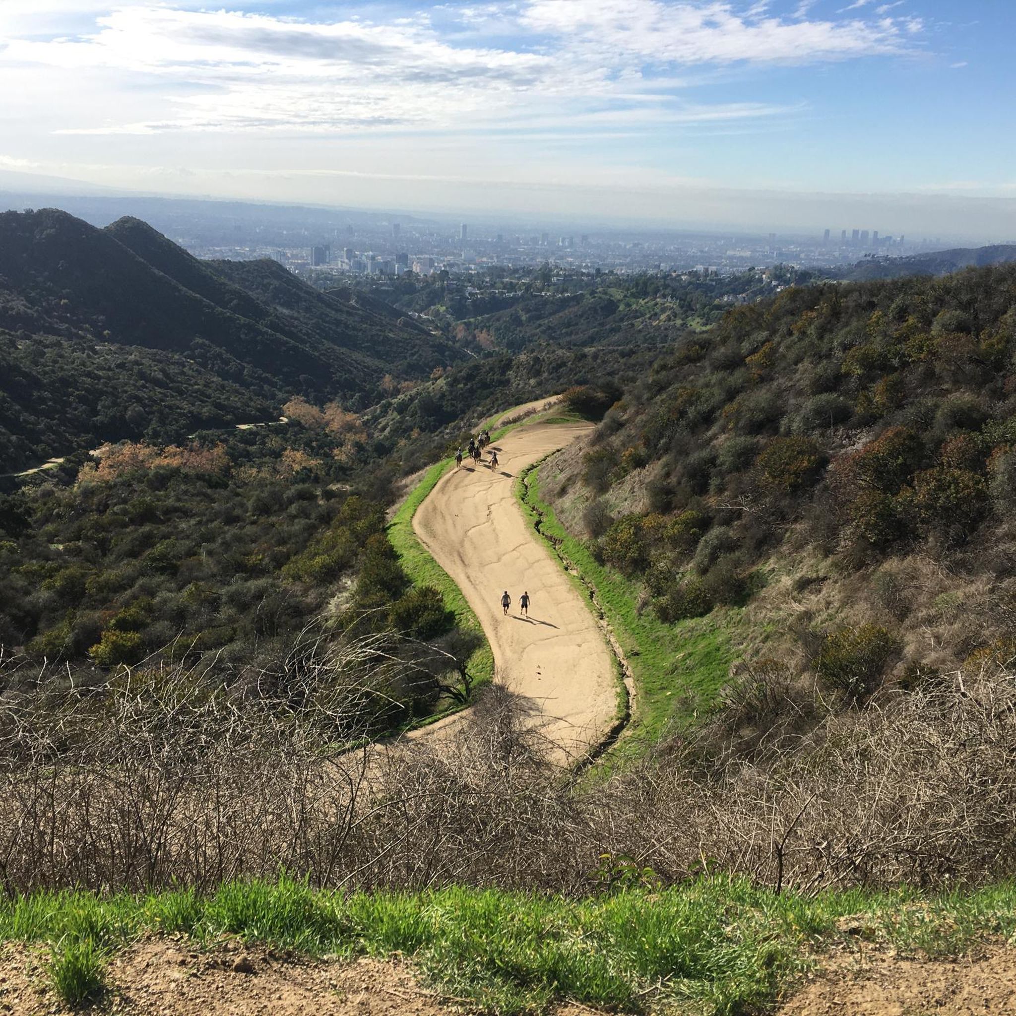
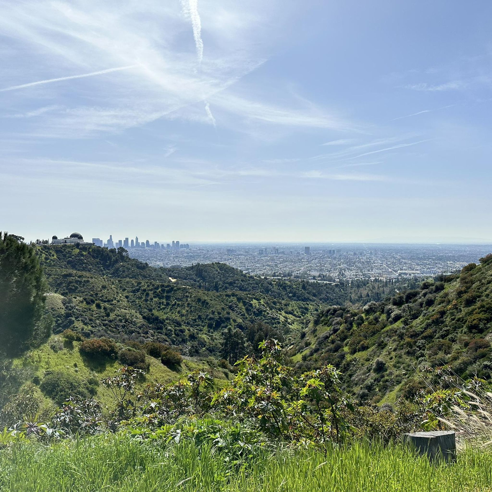
Tips from the Community

La Tuna Canyon Road is a fairly quiet road that winds through the green hills behind Burbank. There are some ups and downs, but you will be treated to some nice views as you get higher.
0
0

This is a handy connector trail, used mostly to go downhill from The Hub to the Bent Arrow Trail, or you can keep going all the way to Mulholland Drive with a climb at the very end.
0
0
You can approach this 3,124-foot peak from several directions, but the multi-use Verdugo Motorway is the most common uphill option.
0
0

is a place that should not be missed
4
0

Fine community center by this non-profit group providing awareness programs for forest conservation, in a lush green park
1
0

From here there is a perfect 360 degree view. Santa Monica mountains are completely visible in good weather
0
1
Always an experience, especially the fair is recommended, there are fantastic treats here, especially milkshakes and corndogs are recommended.
1
0

Temescal Canyon Road is a great dirt road to ride. Whether you're grinding uphill or zipping down, this is a great path to use to connect the northern and southern paths in the Temescal Peak area.
0
0
Frequently Asked Questions
What kind of terrain can I expect on gravel bike trails in Briar Summit Open Space Preserve?
Briar Summit Open Space Preserve offers diverse terrain with varying elevations across its 90 acres. You'll encounter unpaved service roads and dirt trails winding through chaparral, coastal sage scrub, and oak woodland plant communities, as well as rugged canyon landscapes. This provides a natural and dynamic cycling experience.
How many gravel bike routes are available in Briar Summit Open Space Preserve?
There are 8 gravel bike routes available in Briar Summit Open Space Preserve. These routes range from moderate to difficult, offering options for different skill levels.
Are there any moderate gravel bike trails suitable for intermediate riders?
Yes, there are moderate trails available. For example, the Coldwater Canyon Park – Tree People loop from NBC News is an 11.3-mile route that takes about 1 hour 14 minutes to complete, featuring varying elevations and unpaved segments. Another moderate option is the Tree People – TreePeople loop from Beverly Crest, which is 5.1 miles long.
What are the options for more challenging gravel bike rides in the preserve?
For experienced riders seeking a challenge, there are several difficult routes. The San Vicente Mountain Viewpoint – The Hub (Topanga State Park) loop from Hollywood/Highland is a substantial 45.5-mile trail with significant elevation gain, typically completed in about 4 hours 52 minutes. Other difficult routes include the MRCA Open Space – La Tuna Canyon Road loop from Downtown Burbank and the Flat Discovery loop from Burbank Airport–South.
What kind of views can I expect while gravel biking in Briar Summit Open Space Preserve?
Briar Summit Open Space Preserve is renowned for its nearly 360-degree panoramic views. From various viewpoints, you can see the sprawling Los Angeles basin, the San Fernando Valley, the Hollywood Hills, Laurel Canyon, and even the Pacific Ocean on clear days. These vistas are particularly stunning during golden hour and sunset.
Is Briar Summit Open Space Preserve suitable for family-friendly gravel biking?
While the preserve offers diverse terrain, many routes include varying elevations and unpaved segments. Some routes are considered moderate, but it's best to assess the specific trail's length and elevation profile to ensure it aligns with your family's skill and endurance levels. The preserve's natural setting provides a tranquil escape.
Are dogs allowed on the gravel bike trails in Briar Summit Open Space Preserve?
The region research indicates that Briar Summit Open Space Preserve is managed by the Mountains Recreation and Conservation Authority (MRCA). Generally, MRCA parks allow dogs on leash. However, it's always recommended to check the latest specific regulations on the official MRCA website or signage at the preserve entrance regarding dog policies for trails.
What is the best time of year to go gravel biking in Briar Summit Open Space Preserve?
Given its Southern California location, Briar Summit Open Space Preserve is generally accessible year-round. However, for the most comfortable riding conditions, spring and fall offer milder temperatures. Summers can be hot, so early morning or late afternoon rides are advisable. Winters are typically mild, but occasional rain can make dirt trails muddy.
Where can I park when visiting Briar Summit Open Space Preserve for gravel biking?
The preserve is located in the Hollywood Hills, and while specific parking lots aren't detailed in the provided data, access points often have limited street parking or small designated areas. It's advisable to check local signage or the official MRCA website for the most current information on parking availability and regulations near trailheads.
Can I reach Briar Summit Open Space Preserve using public transport?
Briar Summit Open Space Preserve is situated in the heart of Los Angeles. While it's minutes from the Sunset Strip, direct public transport access to the trailheads might be limited. It's recommended to consult local transit authority websites (like LA Metro) for routes that get you closest to the preserve's vicinity, potentially requiring a short walk or ride-share to the entrance.
What kind of wildlife might I encounter while gravel biking here?
Briar Summit serves as a crucial habitat for various native species. You might spot coyotes, deer, bobcats, grey fox, cottontail rabbits, California quail, and woodrats. The preserve is also home to over 60 species of birds, especially in the moist, north-facing areas with rich vegetation.
Are there any loop gravel bike trails in Briar Summit Open Space Preserve?
Yes, many of the routes in the preserve are designed as loops. Examples include the Coldwater Canyon Park – Tree People loop from NBC News and the Tree People – TreePeople loop from Beverly Crest, offering circular routes to explore the diverse landscapes.
Most popular routes in Briar Summit Open Space Preserve

Get inspired with the komoot mobile app


Explore more
Browse the best Gravel rides in other regions.
