The best walks and hikes in Briar Summit Open Space Preserve
4.6
(909)
11,449
hikers
216
hikes
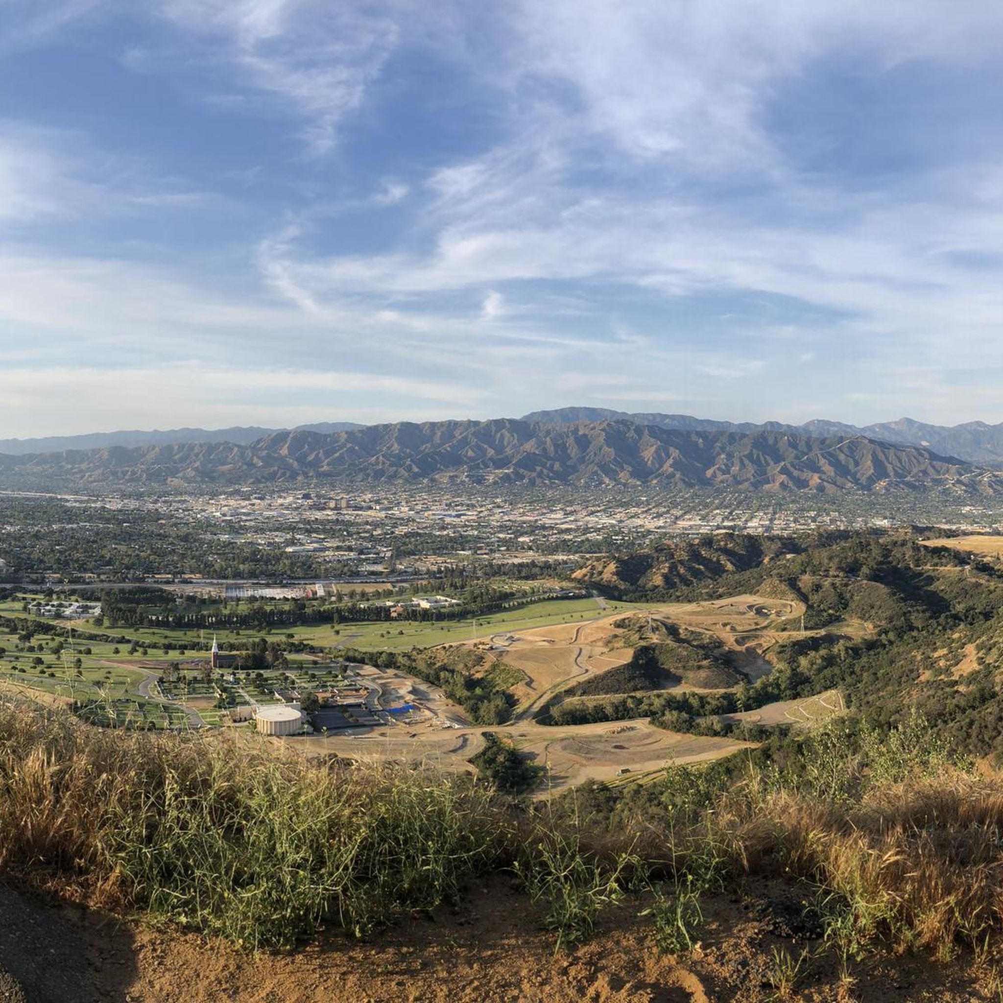
Hiking in Briar Summit Open Space Preserve explores a natural area within the Hollywood Hills, characterized by a mix of paved service roads and dirt trails. The terrain consists of chaparral, coastal sage scrub, and oak woodland plant communities. Routes ascend through the preserve, offering panoramic views of the Los Angeles basin, including the San Fernando Valley and surrounding mountains. This diverse vegetation supports a rich ecosystem.
Best hiking trails in Briar Summit Open Space Preserve
- The most popular hiking…
Last updated: September 28, 2026
631m
00:12
50m
0m
This easy 0.4-mile loop in Briar Summit Open Space Preserve offers panoramic views of the Los Angeles basin and San Fernando Valley.
5.0
(10)
182
hikers
5.54km
01:43
200m
200m
The Inspiration Loop Trail offers an easy 3.4-mile (5.5 km) hike with 659 feet (201 metres) of elevation gain, taking around 1 hour and 43 minutes to complete. You'll follow…


3.77km
01:10
130m
130m
Easy hike. Great for any fitness level. Easily-accessible paths. Suitable for all skill levels.
27
hikers
Moderate hike. Good fitness required. Easily-accessible paths. Suitable for all skill levels.
5.0
(2)
13
hikers
2.89km
00:51
80m
80m
Easy hike. Great for any fitness level. Easily-accessible paths. Suitable for all skill levels.
Get access to more routes and recommendations from other explorers.
Already have an account?
Our route recommendations are based on thousands of hikes, rides, and runs completed by other people on komoot.
Start today with a free account
Your next adventure awaits.

Tips from the Community

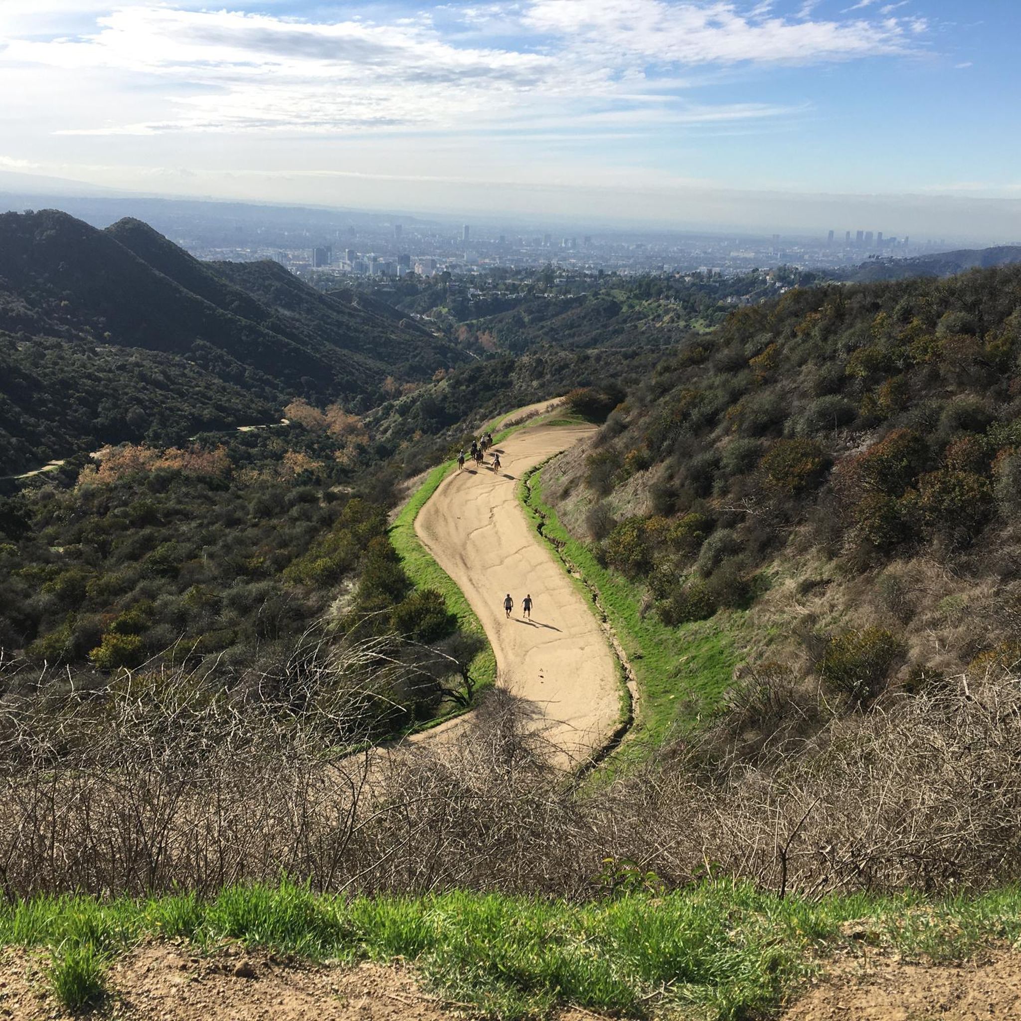
Great viewpoint over Runyon Canyon Park. The trails to get up to the viewpoint can be busy, it is only a short distance from Sunset Boulevard, but it is worth stopping for a bit to enjoy the view.
0
0

Encompassing 45 acres, this park provides a serene natural experience with rolling hills and ridges that unveil stunning views of the scenery. There are several benches along the way that allow you to take a break and fully appreciate these captivating views.
0
0

Coldwater Canyon Park is on the east side of Coldwater Canyon. The park provides five acres of beautifully landscaped green space, a running track, seating and picnic areas with shade trellises, a fountain, and the Woods Davy "Stillwater" art sculpture. It is a beautiful little oasis in the middle of Los Angeles.
0
0

Located on the north side of Mulholland Drive west of Laurel Canyon, the Nancy Hoover Pohl Overlook provides views of the San Fernando Valley, a 40-car parking lot, a physical fitness course, and access into the canyon trails below. The overlook is named in honor of Fryman canyon resident Nancy Hoover Pohl, who for more than 60 years fought to curb development in the Santa Monica Mountains and to create local parkland. Her efforts enabled the acquisition of Fryman Canyon Park which can be accessed from the overlook, as well as Coldwater Canyon Park and Wilacre Park. Nancy Hoover Pohl was also instrumental in the establishment of the five-mile Betty B. Dearing Mountain Trail, which is also accessible from the overlook. https://mrca.ca.gov/parks/park-listing/nancy-hoover-pohl-overlook
0
0

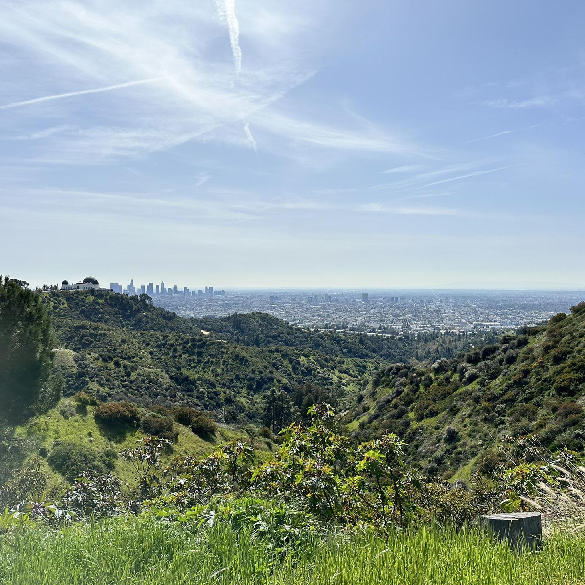
It is not hard to understand why this view is called Inspiration Point. The view over the Los Angeles skyline is just breathtaking. A great run especially at sunrise and sunset when the landscape is bathed in warm orange.
0
0
It is not hard to understand why this view is called Inspiration Point. The view over the Los Angeles skyline is just breathtaking. A great walk especially at sunrise and sunset when the landscape is bathed in warm orange.
0
0
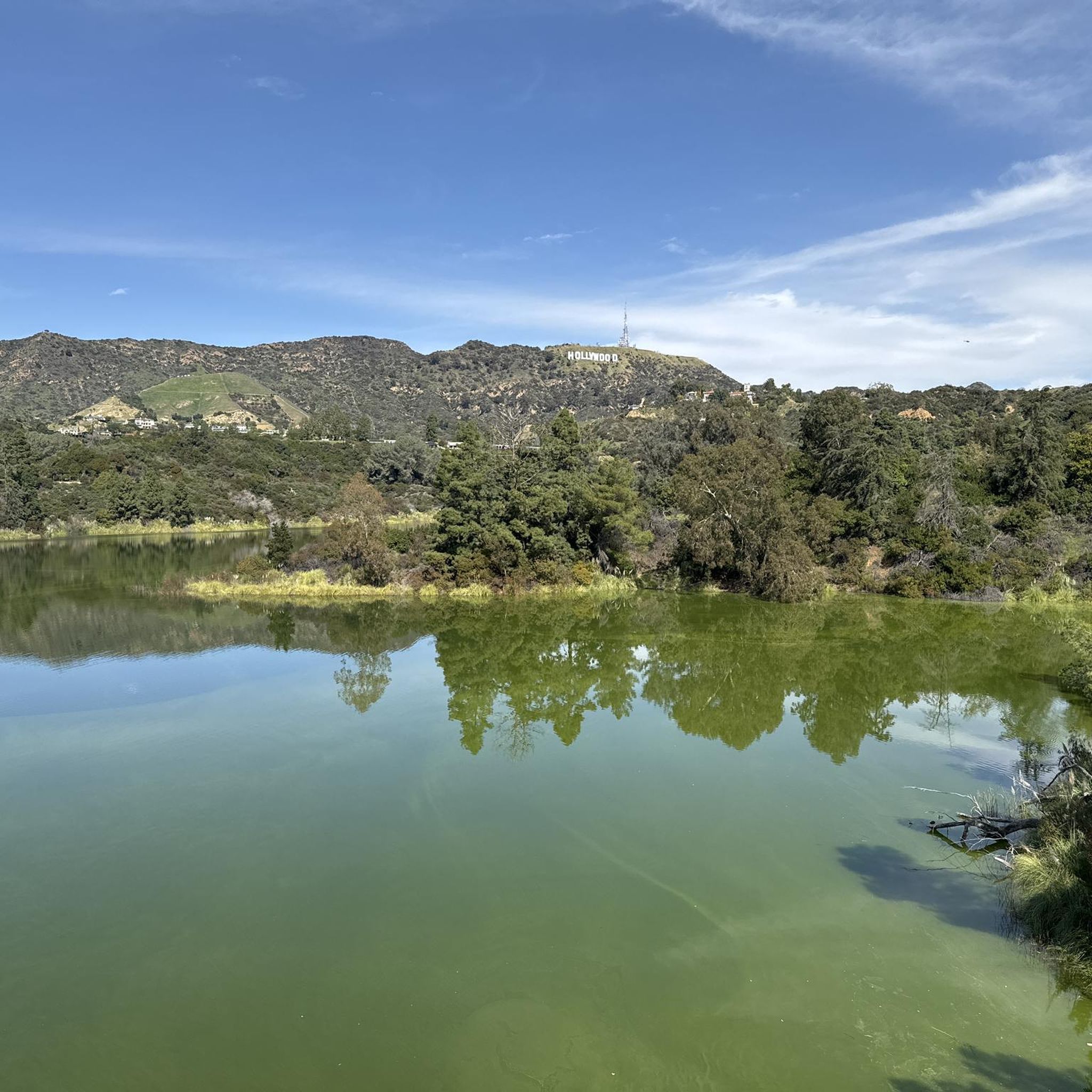
Stroll along the West Trail through Runyon Canyon Park and enjoy a stunning panoramic view over Los Angeles. Combine it with the East Trail for a loop hike with views towards the Hollywood sign.
0
0
The colorful spiral was created by the resident and director Robert Wilson in 2008. You can walk the meditative mandala circle and feel the positive energy around you.
0
0
Frequently Asked Questions
Are dogs allowed in Briar Summit Open Space Preserve?
Yes, dogs are generally allowed in the preserve, but they must be kept on a leash at all times. The main trails are wide and paved, making them suitable for walking with your dog. Please be mindful of the local wildlife and other hikers.
What are the parking options for the preserve?
Parking is available on the street near the main entrance at 7700 Briar Summit Dr. It is residential street parking, so be sure to read all posted signs for any restrictions. Parking can be limited, especially on weekends, so arriving early is recommended.
Are the trails suitable for families and beginners?
Absolutely. Most trails in the preserve are considered easy, featuring wide, paved service roads with gradual inclines. A good option for a shorter, less strenuous outing is the Dearing Mountain Trail loop from Hollywood Hills, which offers great views without a major climb.
Which trails offer the best panoramic views of Los Angeles?
The main trail ascending to the 1,500-foot summit provides stunning 360-degree views. From the top, you can see the Hollywood Sign, Griffith Observatory, the San Fernando Valley, and even the Pacific Ocean on a clear day. The former Nike missile observation platform at the summit is a particularly good vantage point.
What is the typical elevation gain on the trails?
The elevation gain varies depending on the route you choose. The main trail to the summit gains about 250 feet. Other loops in the area, like the Shortcut from viewpoint loop from Hollywood Hills, have more gentle climbs, often under 200 feet, making them accessible for most fitness levels.
How does hiking in Briar Summit compare to Runyon Canyon?
Briar Summit Open Space Preserve generally offers a quieter, more tranquil experience than the often-crowded Runyon Canyon. While both provide excellent city views, Briar Summit's trails are primarily paved service roads and it serves as a vital wildlife corridor, giving it a more natural, less social-scene atmosphere.
What kind of wildlife might I see in the preserve?
The preserve is a crucial habitat for native wildlife. Patient observers may spot mule deer, coyotes, gray foxes, and bobcats. It's also a great spot for birdwatching, with over 60 species recorded in the area. Remember to keep a safe distance and never feed the animals.
Is this a good place for a sunset hike?
Yes, the preserve is an excellent location for a sunset hike. The unobstructed westward and southern views from the summit offer a spectacular vantage point to watch the sun go down over the city and the distant Pacific Ocean. Be sure to bring a headlamp or flashlight for your descent after dusk.
What is the history of Briar Summit Open Space Preserve?
The preserve was established in 1989 to protect this vital piece of open space from development. A fascinating piece of history at the summit is a former Nike missile observation platform from the Cold War era, which once served as a military surveillance point and now offers hikers incredible views.
What do other hikers say about the trails in Briar Summit?
The area is highly rated by the komoot community, with an average score of 4.7 stars. Reviewers often praise the stunning panoramic views of the city, the well-maintained paved trails, and the peaceful atmosphere compared to other nearby parks.
How many hiking trails are in the preserve?
There are over 190 routes to explore in and around Briar Summit Open Space Preserve. While the main preserve has a primary paved trail, it connects to a larger network of dirt paths and service roads, offering a wide variety of options for different distances and difficulties.
What types of plants and vegetation will I see?
The landscape is characteristic of the Santa Monica Mountains. You'll hike through a mix of chaparral, coastal sage scrub, and oak woodland plant communities. This diverse vegetation creates a rich habitat for local wildlife. For more detailed information, you can consult resources from the National Park Service.
Most popular routes in Briar Summit Open Space Preserve

Get inspired with the komoot mobile app


Explore more
Browse the best Hikes in other regions.
