The best gravel rides in Trockengebiete Vor Der Rhön
4.4
(16)
59
riders
18
rides
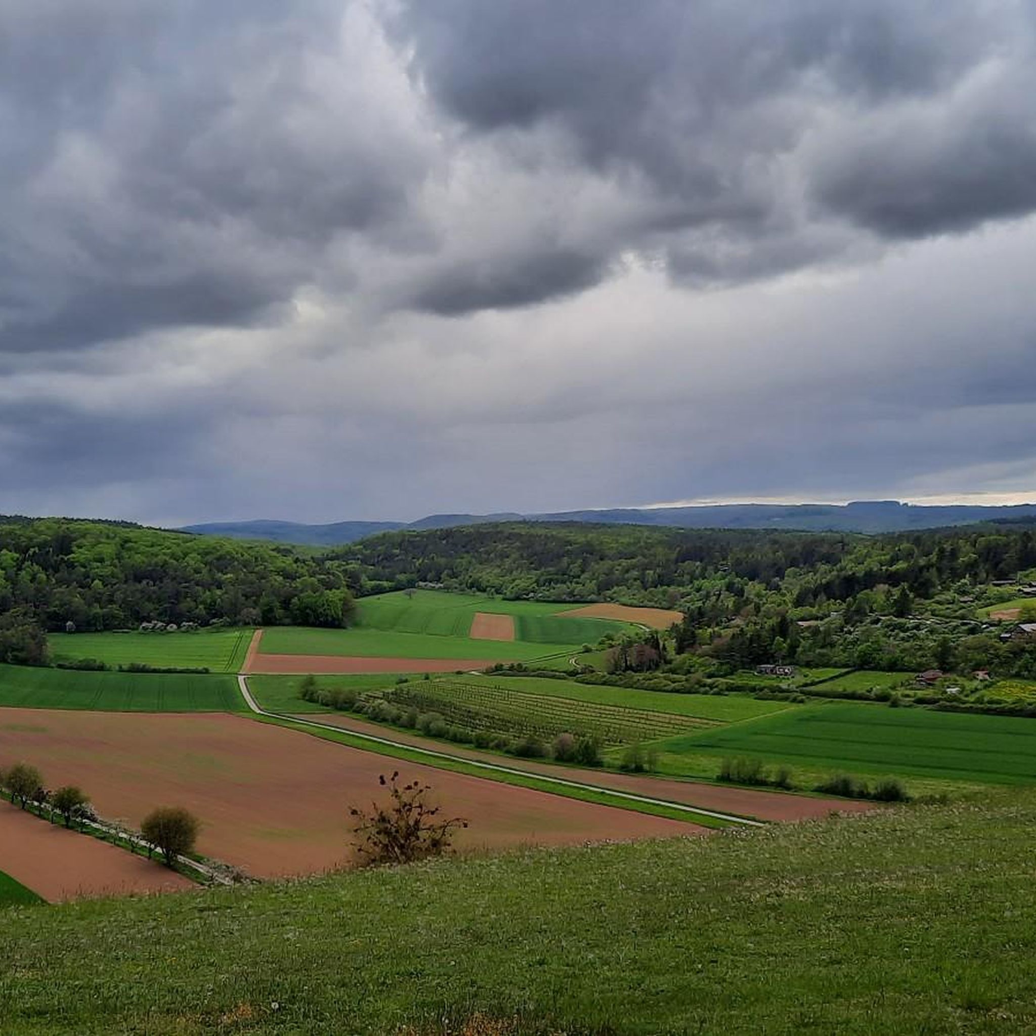
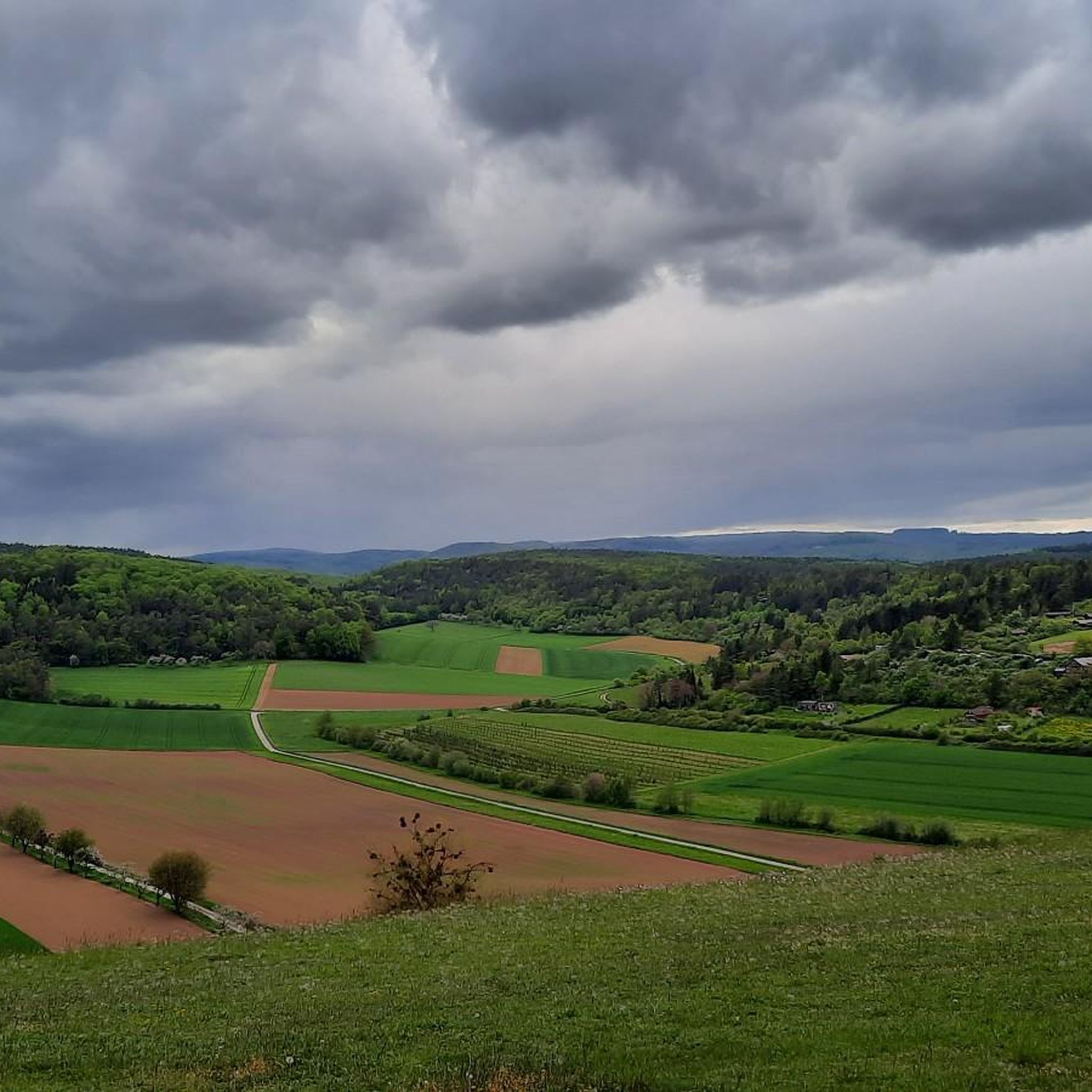
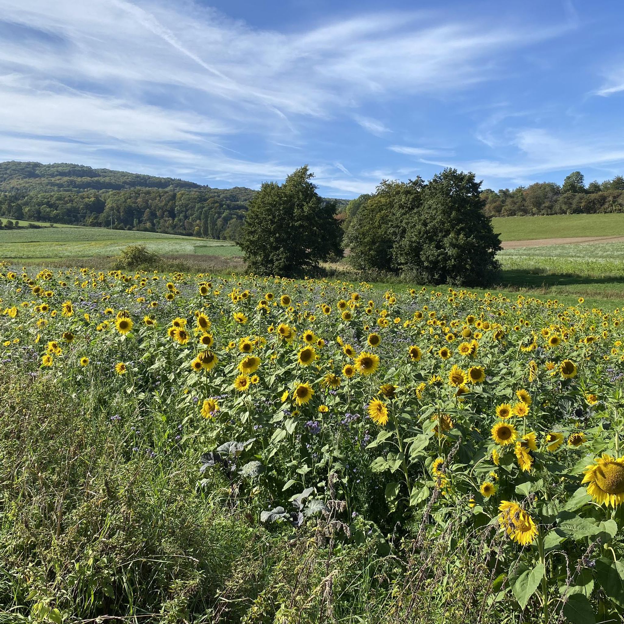
Gravel biking in Trockengebiete Vor Der Rhön offers routes through a landscape characterized by river valleys, former railway lines, and the foothills of the Rhön mountains. The region features a mix of open fields, forested sections, and diverse topography with gentle hills and varied climbs. These dry habitats are part of the Rhön Biosphere Reserve, providing unique natural features for gravel bike trails.
Best gravel bike trails in Trockengebiete Vor Der Rhön
- The most popular gravel bike trail is Schwarzes…
Last updated: October 6, 2026
4.6
(5)
17
riders
37.2km
02:54
610m
610m
Hard gravel ride. Very good fitness required. Mostly paved surfaces. Suitable for all skill levels.
5.0
(5)
14
riders
30.7km
01:46
310m
310m
Moderate gravel ride. Good fitness required. Mostly paved surfaces. Suitable for all skill levels.

4.5
(2)
5
riders
58.4km
03:26
500m
500m
Hard gravel ride. Very good fitness required. Mostly paved surfaces. Suitable for all skill levels.
10
riders
42.8km
02:37
410m
410m
Moderate gravel ride. Good fitness required. Mostly paved surfaces. Suitable for all skill levels.
4.5
(2)
5
riders
Moderate gravel ride. Good fitness required. Mostly paved surfaces. Suitable for all skill levels.
Get access to more routes and recommendations from other explorers.
Already have an account?
Our route recommendations are based on thousands of hikes, rides, and runs completed by other people on komoot.
Start today with a free account
Your next adventure awaits.

Other adventures in Trockengebiete Vor Der Rhön

Tips from the Community

Ostheim is a nice little town and there is always something going on :-)
0
0

The Silbersee is an artificially created basalt lake in the former quarry of the Rother Berg. Known for its striking turquoise-green to blue-green water, steep rock faces, and the surrounding, re-naturalized landscape.
1
0
The historic Saale Bridge in Hollstadt is an 18th-century, three-span, round-arched stone bridge. It crosses the Franconian Saale and is now protected as a historical monument.
3
0
Historic stone arch bridge over the Saale.
4
0
River valley of the Fränkische Saale at the foot of the Rhön in northern Unterfranken. Predominantly flat to gently rolling profile along the river meadows; ideal for beginners, families, as well as pleasure cyclists and hikers. Well-maintained (mostly asphalted or finely gravelled) paths, largely away from motorized road traffic.
3
0

A nice little bridge here.
1
0

Absolutely the best bratwurst in the area. Price stable at 3.50, so it tastes even better.
0
0
The best Thuringian food "outside" of Thuringia :-)
0
0
Frequently Asked Questions
How many gravel bike trails are available in Trockengebiete Vor Der Rhön?
There are nearly 30 gravel bike trails documented in Trockengebiete Vor Der Rhön on komoot, offering a diverse range of options for different skill levels.
Are there any easy gravel bike trails suitable for beginners or families?
Yes, the region offers some easier routes. For a moderate and scenic option, consider the Streutalbahn Railway Path – Fladungen Museum Railway loop from Fladungen. This 30.7 km path follows a historic railway line, providing relatively flat sections that are enjoyable for many riders.
What are some challenging gravel bike routes in Trockengebiete Vor Der Rhön?
For those seeking a challenge, the region has several demanding routes. The Schwarzes Moor loop from Flagunden - Bavarian Rhön Nature Park is a difficult 37.2 km trail exploring the diverse terrain of the Bavarian Rhön. Another challenging option is the Streu River Trail – Saale Bridge, Hollstadt loop from Mellrichstadt Bf, which covers 63.2 km through river valleys and open landscapes.
Are there gravel bike routes around 40km in length?
Yes, you can find routes around that distance. The Saale Bridge, Hollstadt – Streu River Trail loop from Mellrichstadt Bf is a moderate 43.6 km route that takes you through varied landscapes, offering a good balance of distance and terrain.
What kind of landscapes can I expect to see on these gravel bike trails?
The trails in Trockengebiete Vor Der Rhön are characterized by river valleys, former railway lines, and the foothills of the Rhön mountains. You'll encounter a mix of open fields, forested sections, and cultural landmarks, providing varied scenery throughout your ride.
What is the typical duration for gravel biking routes in this region?
Route durations vary significantly based on length and difficulty. For example, a moderate 30.7 km route like the Streutalbahn Railway Path – Fladungen Museum Railway loop from Fladungen typically takes around 2 hours. Longer, more difficult routes, such as the 63.2 km Streu River Trail – Saale Bridge, Hollstadt loop from Mellrichstadt Bf, can take over 4.5 hours.
Are there any scenic viewpoints or natural monuments along the gravel bike trails?
Yes, the region offers several points of interest. You might encounter the Weyhershauk Summit Cross, the ancient Twin Oak, or enjoy panoramic views from the Viewpoint on Großer Lindenberg. Many routes pass by these natural and historical landmarks.
Where can I find parking for gravel bike trails in Trockengebiete Vor Der Rhön?
Many routes start from towns or villages like Fladungen or Mellrichstadt, where public parking is generally available. For instance, the Saale Bridge, Hollstadt – Maria Bildhausen Monastery loop from Mellrichstadt Bf starts near Mellrichstadt train station, which often has parking facilities. It's advisable to check local parking options for your chosen starting point.
What do other gravel bikers enjoy most about the trails in Trockengebiete Vor Der Rhön?
The area is highly rated by the komoot community, with an average score of 4.4 stars. Reviewers often praise the varied terrain, the mix of river valleys and former railway paths, and the opportunity to explore the foothills of the Rhön mountains.
What is the best time of year for gravel biking in Trockengebiete Vor Der Rhön?
Spring and autumn generally offer the most pleasant conditions for gravel biking in this region, with milder temperatures and beautiful scenery. Summer can also be good, but be prepared for warmer weather, especially in the open field sections. Winter rides are possible but may be affected by snow or ice, particularly in higher elevations towards the Rhön.
Are there any historical sites or cultural landmarks to see along the routes?
Yes, the region is rich in history. You might come across the Celtic Burial Mounds on the Cycle Path, the historic St. Gangolf Chapel (Gangolfskapelle) Fladungen, or the Stone Memorial Cross near Ostheim, adding a cultural dimension to your ride.
Most popular routes in Trockengebiete Vor Der Rhön
Most popular attractions in Trockengebiete Vor Der Rhön

Get inspired with the komoot mobile app


Explore more
Browse the best Gravel rides in other regions.
