The best walks and hikes in Trockengebiete Vor Der Rhön
4.6
(11761)
43,318
hikers
31
hikes
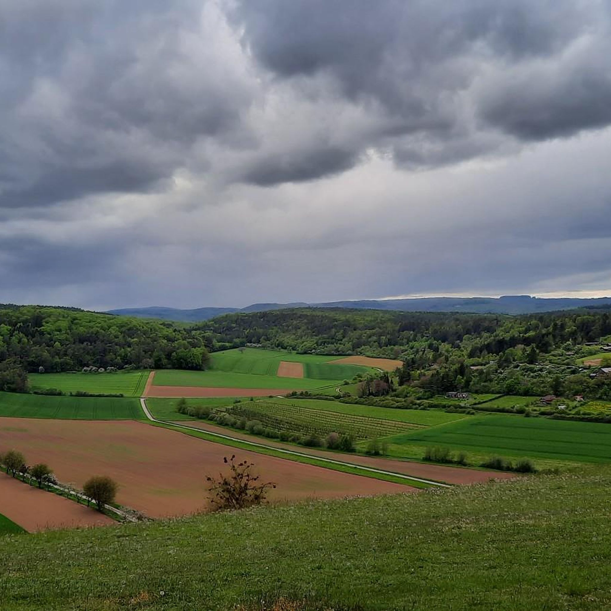
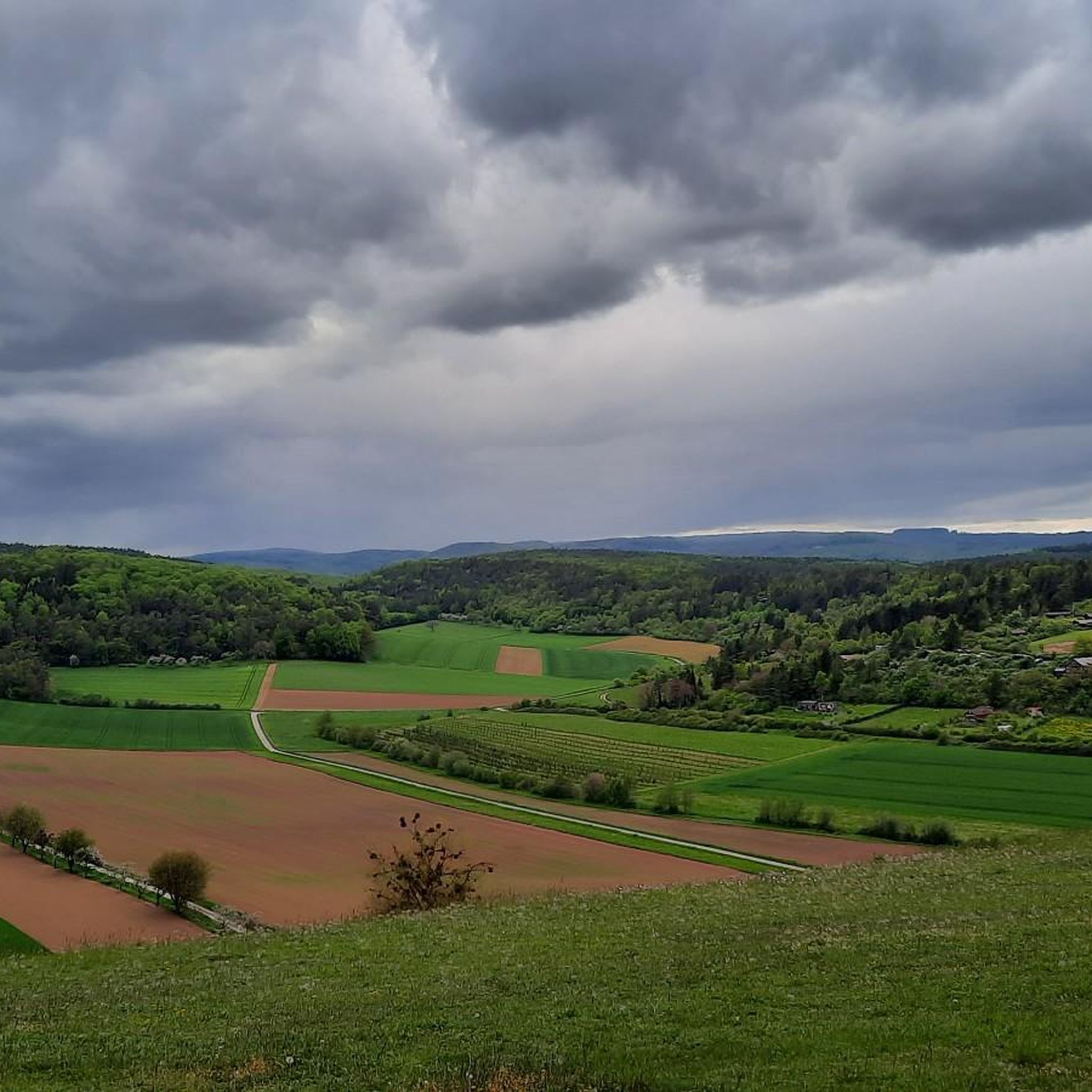
Hiking in Trockengebiete Vor Der Rhön features diverse landscapes shaped by ancient volcanic activity, resulting in rolling hills, plateaus, and distinct basalt rock formations. The region is known as the "Land of Open Vistas," providing sweeping panoramic views across mountain meadows and through valuable biotopes. Designated a UNESCO Biosphere Reserve, it offers extensive trail networks through unique natural environments.
Best hiking trails in Trockengebiete Vor Der Rhön
- The most popular hiking route is Weyhershauk Nature Trail – nature and knowledge…
Last updated: May 22, 2026
4.7
(6)
19
hikers
4.41km
01:16
110m
100m
Moderate hike. Great for any fitness level. Mostly accessible paths. Sure-footedness required.
4.9
(28)
54
hikers
Moderate hike. Good fitness required. Easily-accessible paths. Suitable for all skill levels.

Sign up for free
5.0
(8)
43
hikers
4.44km
01:20
150m
150m
Easy hike. Great for any fitness level. Easily-accessible paths. Suitable for all skill levels.
4.2
(5)
17
hikers
2.92km
00:53
110m
110m
Easy hike. Great for any fitness level. Easily-accessible paths. Suitable for all skill levels.
5.0
(5)
16
hikers
Easy hike. Great for any fitness level. Easily-accessible paths. Suitable for all skill levels.
Get access to more routes and recommendations from other explorers.
Sign up for free
Already have an account?
Our route recommendations are based on thousands of hikes, rides, and runs completed by other people on komoot.
Start today with a free account
Your next adventure awaits.
Login or Signup

Other adventures in Trockengebiete Vor Der Rhön

Tips from the Community


In front of and behind you are areas of great natural value. The view is beautiful, and the figure on the bench is amusing. A lovely spot.
1
0
A very old, historic tree that's worth seeing. A golden oriole sang nearby.
1
0

Beautifully located and well-maintained rest area that invites you to linger!
0
0
A decent climb, but one that is rewarded with a great view from the summit of Ostheim, the Streutal and the Rhön!
0
0
Great view of the Lichtenburg! Extensive renovation and restoration work is taking place there until summer 2026, so access is either not possible at all or only very limited!
0
0
From here you have a great view of the Hochrhön!
0
0

Even the strongest hiker needs a break sometimes 😙
2
0
Frequently Asked Questions
What kind of landscape can I expect when hiking in Trockengebiete Vor Der Rhön?
The Trockengebiete Vor Der Rhön, part of the UNESCO Biosphere Reserve, is known as the 'Land of Open Vistas.' You'll encounter diverse landscapes shaped by ancient volcanic activity, featuring rolling hills, plateaus, and distinct basalt rock formations. Expect sweeping panoramic views across lush mountain meadows, unspoilt forests, and unique biotopes.
How many hiking trails are available in Trockengebiete Vor Der Rhön?
The region offers an extensive network of over 5,000 km of well-marked hiking trails. On komoot, you can find over 30 routes, ranging from easy strolls to more moderate paths, ensuring options for various fitness levels.
Are there any easy hiking trails suitable for beginners or a relaxed outing?
Yes, the Trockengebiete Vor Der Rhön has many easy trails. For example, the Ostheim Waterworks – Lichtenburg Castle loop from Ostheim vor der Rhön is an easy 2.9 km route. Another gentle option is the Abstrunlinge Spring (Ostheim) – Weyhershauk Summit Cross loop from Ostheim vor der Rhön, which is 3.8 km long.
What are some notable landmarks or viewpoints I can discover while hiking?
The region is rich in natural and historical landmarks. You can visit the Weyhershauk Summit Cross for panoramic views, or explore the distinctive Twin Oak. The area also features historical sites like the Celtic Hillfort Rehberg and offers magnificent views from locations such as the Wasserkuppe and Rother Kuppe.
Are there any circular hiking routes in Trockengebiete Vor Der Rhön?
Yes, the region is well-known for its circular routes, including numerous 'Extratours' which are certified premium circular hiking trails. On komoot, you can find options like the Weyhershauk Summit Cross – Abstrunlinge Spring (Ostheim) loop from Ostheim vor der Rhön, a moderate 9.6 km path, or the shorter Twin Oak – Weyhershauk Summit Cross loop from Ostheim vor der Rhön, which is 4.4 km.
Is Trockengebiete Vor Der Rhön a good destination for family-friendly hikes?
Absolutely. The diverse trail network includes many easy and moderate paths suitable for families. The Weyhershauk Nature Trail – nature and knowledge in the Rhön, a moderate 4.4 km route, is an excellent choice for families, offering educational insights into the local environment.
Can I bring my dog on the hiking trails in Trockengebiete Vor Der Rhön?
Many trails in the Trockengebiete Vor Der Rhön are dog-friendly, allowing you to enjoy the natural beauty with your canine companion. It's always recommended to keep dogs on a leash, especially in nature reserves or near livestock, and to check specific trail regulations before you go.
What is the best time of year to go hiking in Trockengebiete Vor Der Rhön?
The Rhön region offers beautiful hiking experiences throughout the year. Spring brings blooming meadows, summer provides lush green landscapes and pleasant temperatures, while autumn transforms the hills with vibrant foliage. Even winter offers opportunities for snowshoeing or serene walks, depending on conditions.
Are there any facilities like cafes or restaurants near the hiking areas?
Yes, the region features sleepy villages and spa towns like Bad Salzungen and Bad Kissingen, which offer various amenities. You can often find cafes, restaurants, and accommodation options in or near the towns that serve as starting points for many trails, providing places to refuel and relax.
What do other hikers enjoy most about hiking in Trockengebiete Vor Der Rhön?
The area is highly rated by the komoot community, with an average score of 4.5 stars from over 1,900 reviews. Hikers frequently praise the 'Land of Open Vistas' for its sweeping panoramic views, the well-maintained and diverse trail network, and the unique natural beauty of the UNESCO Biosphere Reserve.
Is public transport available to reach hiking trailheads in Trockengebiete Vor Der Rhön?
While specific routes may vary, the Rhön region generally has public transport options connecting its towns and villages. For detailed information on reaching specific trailheads, it's advisable to check local bus schedules or regional transport services, especially when planning to access more remote areas.
Are there opportunities for more challenging hikes in the region?
Yes, while many trails are easy to moderate, the Rhön also offers more challenging routes. The 180-kilometer 'Hochrhöner Trail,' for instance, is a premium hiking path that often leads along the peaks of the Rhön Mountains and requires good fitness and sure-footedness. Some 'Extratours' can also be more demanding, especially those leading to mountaintops.
Most popular routes in Trockengebiete Vor Der Rhön
Most popular attractions in Trockengebiete Vor Der Rhön

Get inspired with the komoot mobile app


Explore more
Browse the best Hikes in other regions.
