The best MTB trails in Trockengebiete Vor Der Rhön
4.6
(950)
2,831
riders
335
rides
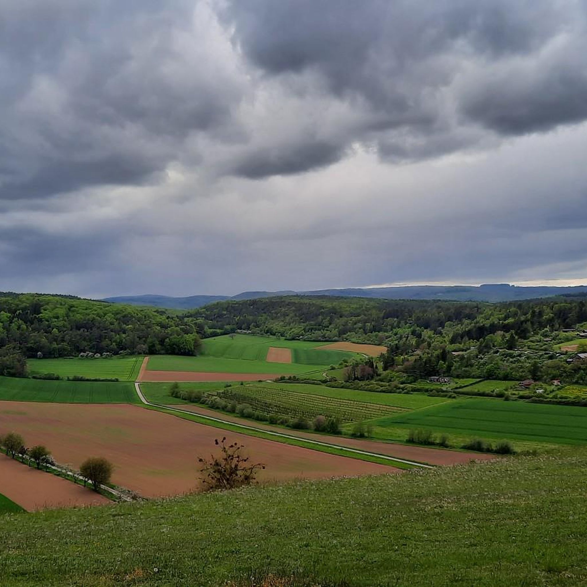
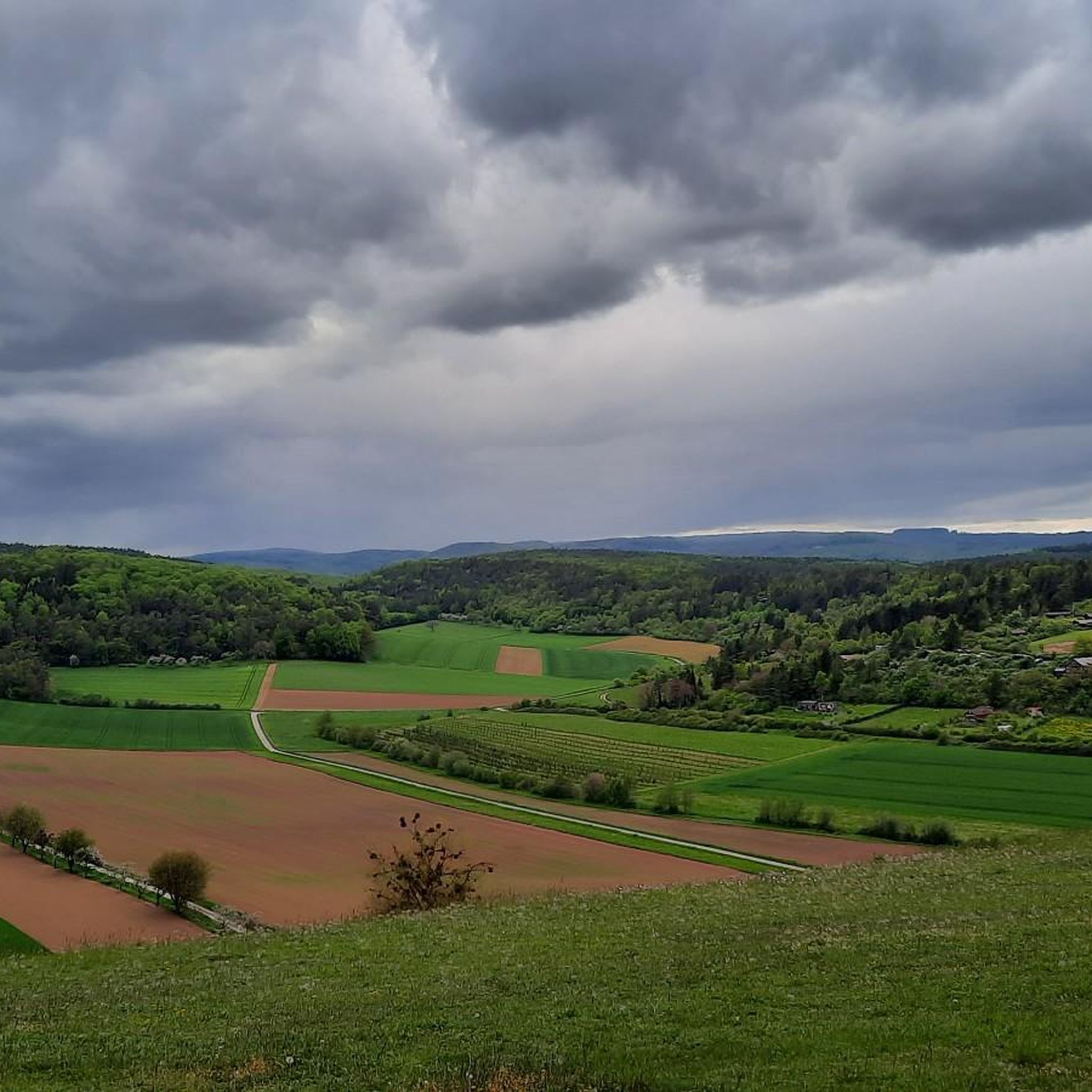
Mountain bike trails in Trockengebiete Vor Der Rhön traverse a landscape characterized by picturesque hills, diverse valleys, and unique dry habitats within the broader Rhön Mountains region. This area features an extensive network of routes, ranging from paved paths to rugged terrain, providing varied experiences for mountain bikers. Natural reserves like Weyhershauk contribute to the distinct ecological characteristics of the region.
Best mountain bike trails in Trockengebiete Vor Der Rhön
- The most popular mountain bike trail is Marketplace Mellrichstadt –…
Last updated: July 28, 2026
4.6
(36)
84
riders
Moderate mountain bike ride. Good fitness required. Suitable for all skill levels.
4.7
(9)
25
riders
31.8km
02:17
390m
390m
Moderate mountain bike ride. Good fitness required. Advanced riding skills necessary.

Sign up for free
4.6
(5)
27
riders
Moderate mountain bike ride. Good fitness required. Suitable for all skill levels.
4.5
(8)
23
riders
27.3km
01:51
260m
260m
Easy mountain bike ride. Great for any fitness level. Suitable for all skill levels.
4.7
(9)
27
riders
Easy mountain bike ride. Great for any fitness level. Suitable for all skill levels.
Get access to more routes and recommendations from other explorers.
Sign up for free
Already have an account?
Our route recommendations are based on thousands of hikes, rides, and runs completed by other people on komoot.
Start today with a free account
Your next adventure awaits.
Login or Signup

Other adventures in Trockengebiete Vor Der Rhön

Tips from the Community

Absolutely the best bratwurst in the area. Price stable at 3.50, so it tastes even better.
0
0

The best Thuringian food "outside" of Thuringia :-)
0
0
It's beautiful at the Streu. Great for a short relaxing walk
0
0

very well laid out, interesting behind the gardens
0
0
very good real Thuringian Bratwurst
0
0

Bridge over the Els near Bastheim with historical Nepomuk figure
0
0

Health hike Saturday 2 pm
0
0

The Roman Catholic Church of St. Kilian is the baroque village church of Oberelsbach. After a previous church building from 1601 was destroyed by lightning in 1760, the St. Kilian Church was built between 1765 and 1784 under Johann Michael and Georg Schmitt from Königshofen. The high altar made by Christian Lux from Bad Neustadt an der Saale was taken over from the previous church. The two side altars made by sculptor Kaspar Hippeli (Nordheim) and carpenter Hans Valentin Katzenberger (Oberelsbach) were made in 1775. The church's baptismal font with an octagonal basin was purchased in 1672. The gallery parapet was made around 1770, the classicist pulpit with a bulbous body around 1780. The altarpiece of the high altar shows the Franconian saints Kilian, Kolonat and Totnan. The side altars are decorated with figures of Saint Joachim, Anne, George and Florian. (Wikipedia)
0
0
Frequently Asked Questions
How many mountain bike trails are there in Trockengebiete Vor Der Rhön?
The Trockengebiete Vor Der Rhön region offers an extensive network of over 360 mountain bike routes. These trails cater to various skill levels, from easy to difficult, ensuring a suitable option for every rider.
What types of terrain can I expect on the mountain bike trails?
The terrain in Trockengebiete Vor Der Rhön is diverse, characterized by picturesque hills, river valleys, and unique dry habitats. You'll find a mix of mostly paved paths and more rugged, natural trails. The region is also known for its exhilarating Flowtrails, which include features like berms, rollers, and jumps.
Are there mountain bike trails suitable for beginners or families?
Yes, the region offers a good selection of easier trails. For example, the Streu River in Ostheim – Streutal Cycle Path loop from Stockheim is an easy route covering about 27.3 km. The Rotes Moor also offers beautiful hiking trails on boardwalks, which, while primarily for hiking, suggests accessible natural environments that might appeal to families looking for gentler paths.
What is the best time of year for mountain biking in Trockengebiete Vor Der Rhön?
The best seasons for mountain biking in Trockengebiete Vor Der Rhön are generally from spring to autumn. During these months, the weather is typically mild and dry, providing optimal conditions for enjoying the trails.
What are the difficulty levels of the mountain bike trails?
The mountain bike trails in Trockengebiete Vor Der Rhön are categorized into three main difficulty levels: easy, moderate, and difficult. Out of over 360 routes, you'll find approximately 86 easy trails, 246 moderate trails, and 30 difficult trails, offering options for all experience levels.
Are there any specific Flowtrails in the region?
Yes, a significant highlight for mountain bikers is the Flowtrail Kreuzberg near Bischofsheim. This two-kilometer-long trail is Bavaria's longest of its kind, featuring over 50 berms, waves, tables, jumps, and a North Shore element, promising an exhilarating ride with beautiful views. Shuttle services are available to maximize your riding experience.
What can I see along the mountain bike trails in Trockengebiete Vor Der Rhön?
Many trails offer opportunities to explore the region's natural beauty and historical sites. You might encounter natural monuments like the Twin Oak or the Abstrunlinge Spring (Ostheim). There are also viewpoints such as the Viewpoint on Großer Lindenberg, and historical sites like the Celtic Burial Mounds on the Cycle Path. The Streu River in Ostheim – Lake Frickenhäuser loop from Ostheim vor der Rhön, for instance, leads past geological features like Lake Frickenhäuser.
What do other mountain bikers enjoy most about the trails here?
The mountain bike trails in Trockengebiete Vor Der Rhön are highly rated by the komoot community, with an average score of 4.6 stars from over 700 reviews. Riders often praise the diverse terrain, the picturesque hills and valleys, and the well-maintained network of routes that cater to different skill levels.
Are there any long-distance mountain bike routes?
Yes, there are several longer routes for those seeking a more extensive ride. For example, the Marketplace Mellrichstadt – Streu River in Ostheim loop from Nordheim vor der Rhön is a moderate 55.6 km trail, and the Streu River in Ostheim – View of Unsleben and the Rhön loop from Ostheim vor der Rhön is another moderate option covering 56.6 km.
Are there accommodations in the region that cater to mountain bikers?
Yes, the Rhön region, which includes Trockengebiete Vor Der Rhön, offers bike-friendly accommodations known as "Bett + Bike-Betriebe." These establishments are certified by the ADFC and are specifically equipped to meet the needs of cyclists, providing services like secure bike storage and repair facilities.
Can I find circular mountain bike routes in the area?
Absolutely. Many of the mountain bike trails in Trockengebiete Vor Der Rhön are designed as loops, allowing you to start and end your ride in the same location. Examples include the Christbäumle Forest Path – Streutalbahn Railway Path loop from Stockheim and the Streu River in Ostheim – Lake Frickenhäuser loop from Ostheim vor der Rhön.
Most popular routes in Trockengebiete Vor Der Rhön
Most popular attractions in Trockengebiete Vor Der Rhön

Get inspired with the komoot mobile app


Explore more
Browse the best MTB trails in other regions.
