The best gravel rides around Tudanca-Cabuerniga
5.0
(1)
33
riders
4
rides
Gravel biking around Tudanca-Cabuerniga offers challenging routes through varied terrain. The region is characterized by its natural parks, including Saja-Besaya and Oyambre, and features coastal sections alongside inland hills. These areas provide a mix of forest paths, open landscapes, and significant elevation changes suitable for experienced gravel riders. The routes often connect natural features with coastal views.
Best gravel bike trails around Tudanca-Cabuerniga
- The most popular gravel bike trail is Gravel loop in Saja-Besaya natural park, a 53.2 miles…
Last updated: May 21, 2026
12
riders
85.6km
08:34
2,040m
2,040m
Hard gravel ride. Very good fitness required. Mostly paved surfaces. Suitable for all skill levels.
3
riders
51.3km
04:01
1,040m
1,050m
Hard gravel ride. Very good fitness required. Mostly paved surfaces. Suitable for all skill levels.

Sign up for free
7
riders
85.2km
05:47
1,470m
1,470m
Hard gravel ride. Very good fitness required. Mostly paved surfaces. Suitable for all skill levels.
5
riders
72.5km
06:20
2,100m
2,100m
Hard gravel ride. Very good fitness required. Mostly paved surfaces. Suitable for all skill levels.
4
riders
38.6km
02:39
580m
580m
Hard gravel ride. Very good fitness required. Mostly paved surfaces. Suitable for all skill levels.
5.0
(1)
3
riders
47.0km
03:45
890m
890m
Hard gravel ride. Very good fitness required. Mostly paved surfaces. Suitable for all skill levels.
Our route recommendations are based on thousands of hikes, rides, and runs completed by other people on komoot.
Start today with a free account
Your next adventure awaits.
Login or Signup
Popular around Tudanca-Cabuerniga

Gravel biking in Saja-Besaya

Gravel biking around National Park Saja-Besaya

Gravel biking in Lic-Valles Altos Del Nansa Y Saja Y Alto Campoo
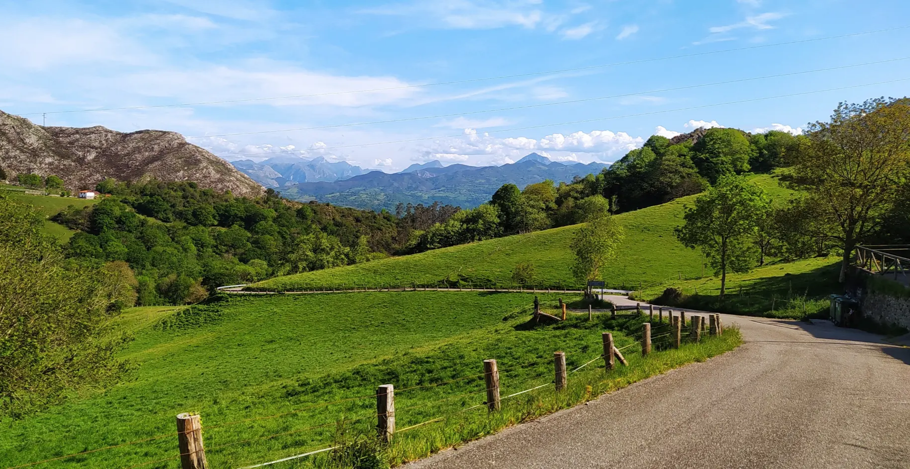
Great mountain passes of Picos de Europa on road bikes
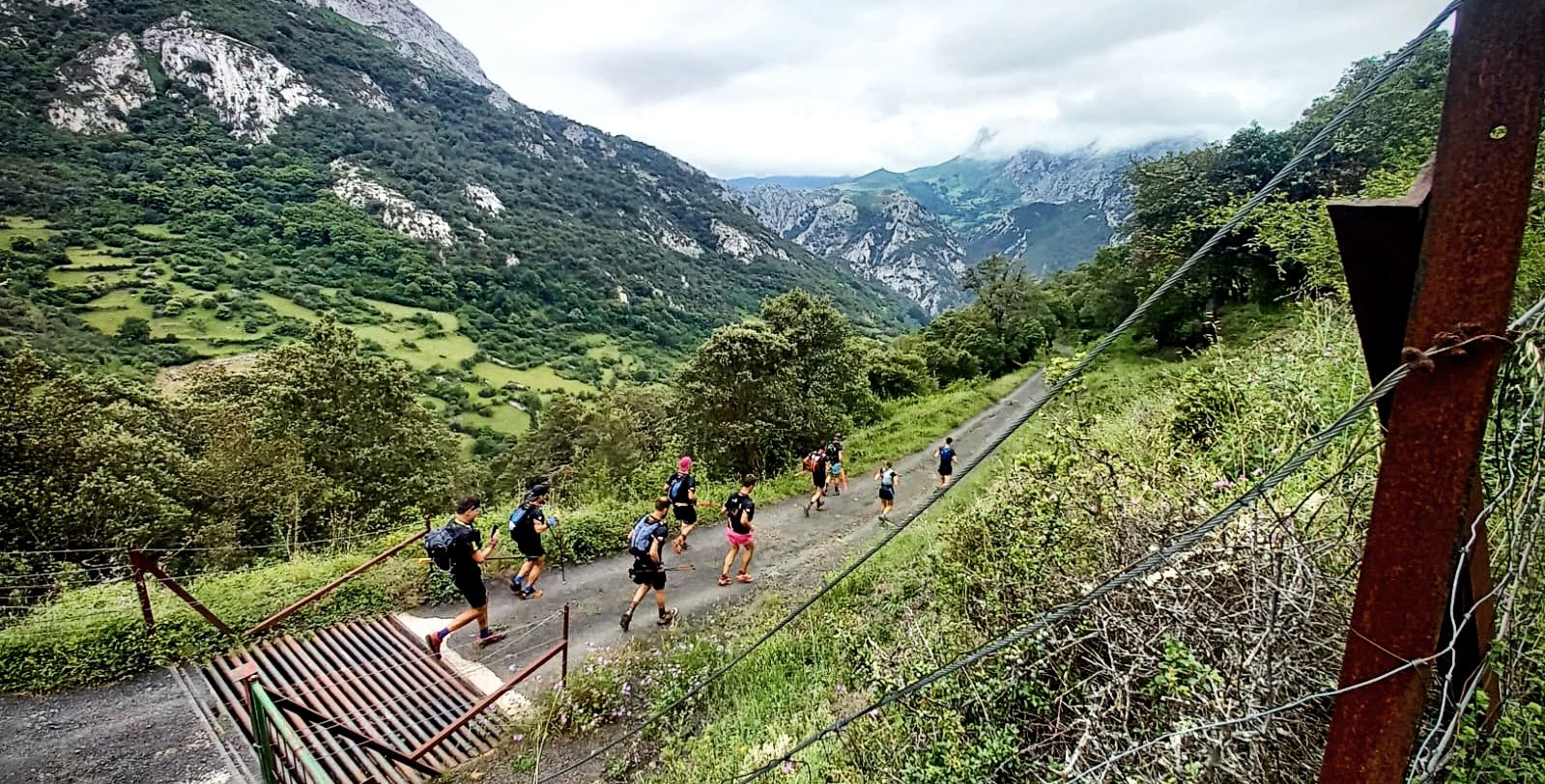
A pilgrim adventure – Spain’s Lebaniego Challenge

Between valleys and villages – Saja Reserve Trail (GR 71)
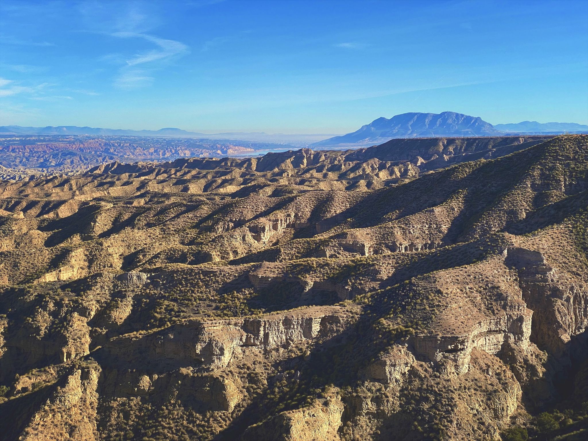
Discover Spain by gravel — a selection of must-see routes
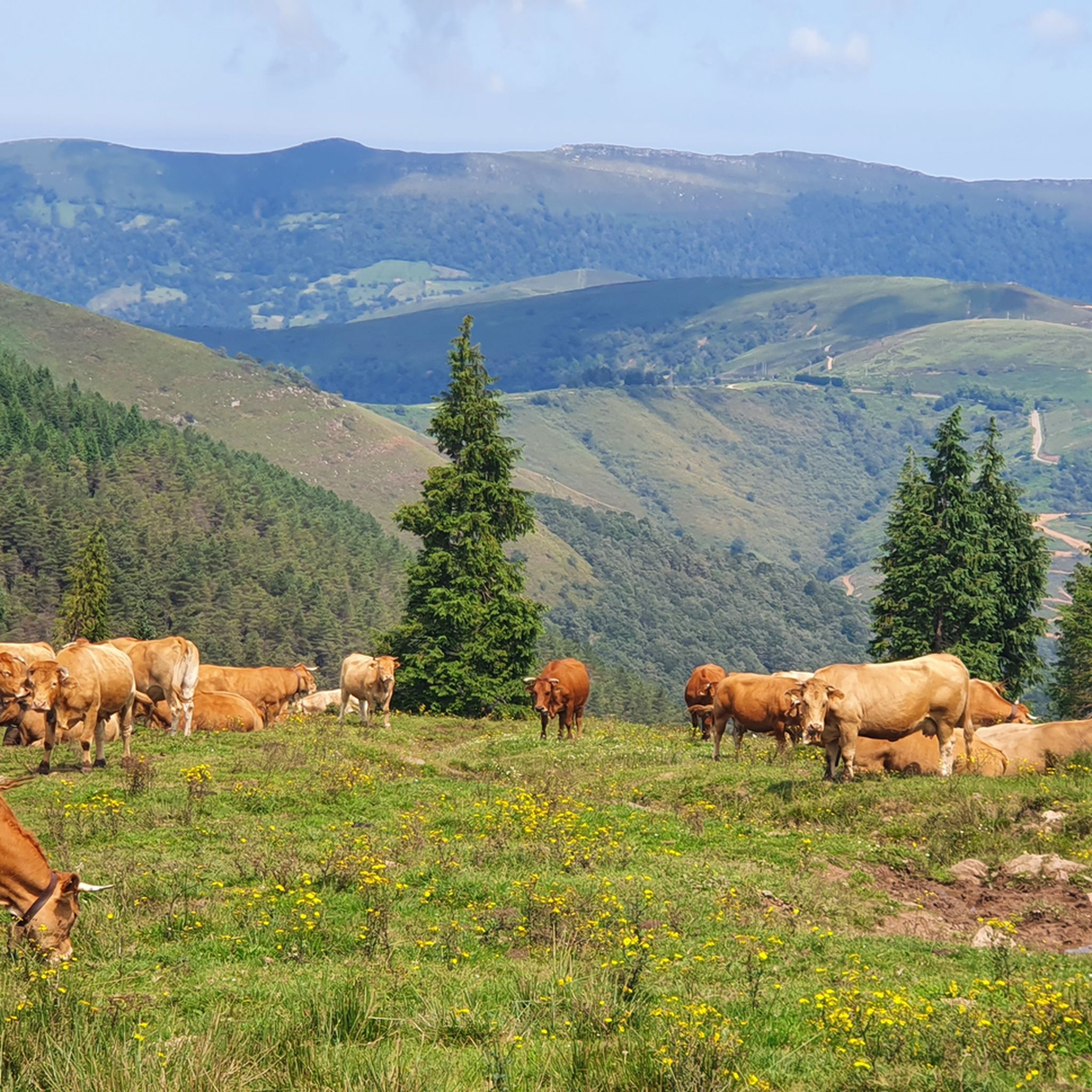
Hiking around Tudanca-Cabuerniga
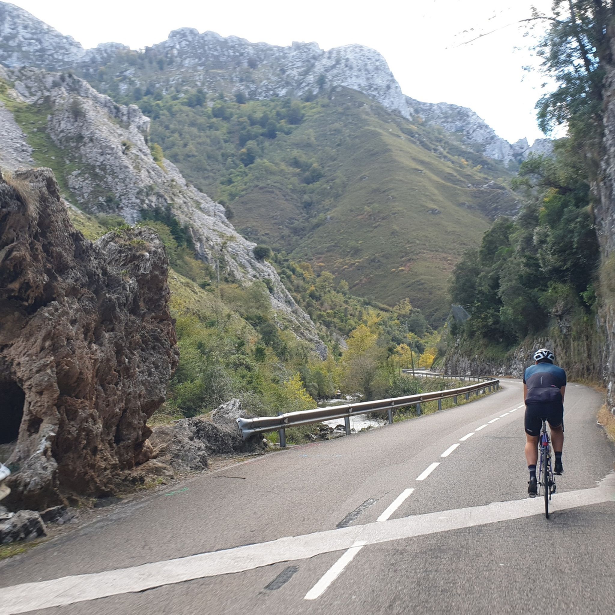
Road Cycling Routes around Tudanca-Cabuerniga
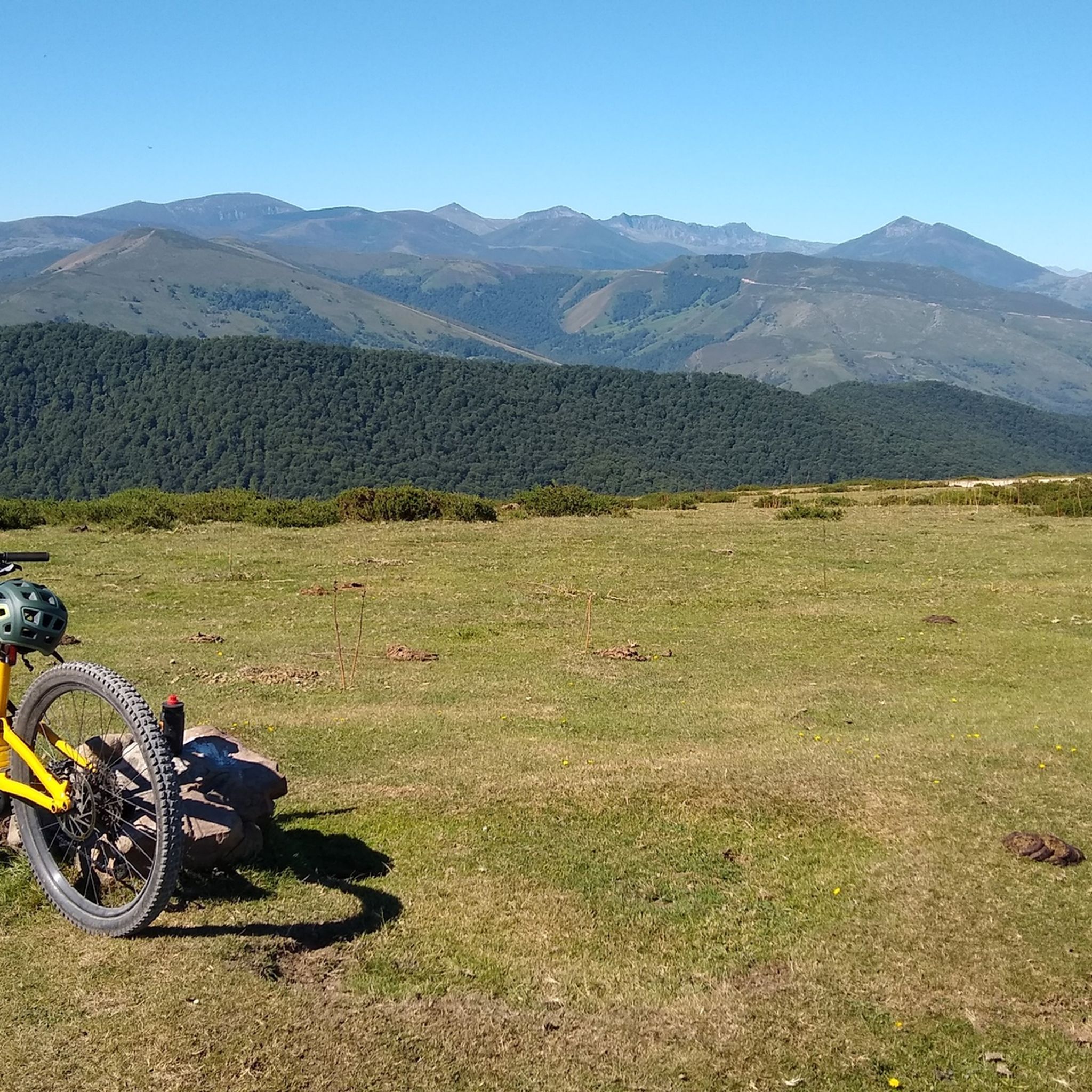
MTB Trails around Tudanca-Cabuerniga
Other adventures around Tudanca-Cabuerniga


Tips from the Community

Spectacular setting for a break and a coffee
0
0

Beautiful hermitage located on the slopes of Monte Corona
1
0
The Collada de Carmona is a mountain pass in the Cantabrian mountain range located in western Cantabria.[1] It rises to 601 m above sea level and links the towns of Valle to the east and Carmona to the west, both belonging to the municipality of Cabuérniga.
0
0
The Monte Aa Pass is a very beautiful climb with spectacular landscapes. The pass is located on the mountain that separates Carmona from Ruente. Along the route we will find different trees catalogued within the Inventory of Singular Trees of Cantabria. These are spectacular specimens of oak and beech. The Monte Aa forest is made up of a mature oak forest dominated by oaks. To a lesser extent, there are beeches, sessile oaks and oaks. The abundance of holly trees is remarkable. As for the fauna that inhabits it, birds such as the goshawk, the sparrowhawk, the black kite, the common buzzard, the common kestrel, the woodpecker and other forest birds stand out. Mammals such as the roe deer, the deer or the badger and carnivores such as the marten or the polecat.
2
0
The climb to Negreo along the southern slopes of Renedo and Moscadoriu, due to its length, is not one of the longest, it is only 6 kilometres but in two sections, each one stickier than the other, the first 3 kilometres with very hard concrete ramps with a gradient of up to 18-20% that make the bike rise more than expected and the last three kilometres with a lesser gradient but on more technical and broken terrain.
0
0
Frequently Asked Questions
How challenging are the gravel bike trails in Tudanca-Cabuerniga?
The gravel bike trails in Tudanca-Cabuerniga are generally challenging, designed for experienced riders. All listed routes are classified as difficult, featuring significant elevation gains and varied terrain through natural parks and coastal sections. For example, the Gravel loop in Saja-Besaya natural park includes over 6,700 feet (2,000 meters) of climbing.
Are there any family-friendly gravel bike trails in Tudanca-Cabuerniga?
Given the challenging nature of the terrain and the significant elevation changes, most gravel bike routes in Tudanca-Cabuerniga are not typically recommended for families with young children or beginners. The routes are primarily suited for experienced gravel riders seeking a demanding adventure.
What are the typical lengths of gravel bike routes in Tudanca-Cabuerniga?
The gravel bike routes in Tudanca-Cabuerniga vary in length, generally ranging from around 30 miles (50 km) to over 50 miles (80 km). For instance, the San Vicente de la Barquera – Oyambre Natural Park loop is about 32.5 miles (52.3 km), while the Buelna Beach – Toró Beach loop covers approximately 52.9 miles (85.2 km).
When is the best time of year to go gravel biking in Tudanca-Cabuerniga?
The best time for gravel biking in Tudanca-Cabuerniga is typically during spring, summer, and early autumn. These seasons offer more stable weather conditions, less rain, and pleasant temperatures, making the challenging routes more enjoyable. Always check local weather forecasts before heading out.
What are the conditions like for gravel biking in Tudanca-Cabuerniga during winter?
Winter conditions in Tudanca-Cabuerniga can be challenging for gravel biking. The region, especially in its higher elevations and natural parks, may experience colder temperatures, rain, and potentially snow or ice, making some trails impassable or very difficult. Coastal sections might be more accessible but can still be exposed to strong winds and rain.
Are most gravel bike routes in Tudanca-Cabuerniga circular?
Yes, many of the gravel bike routes in Tudanca-Cabuerniga are designed as loops, allowing you to start and end at the same point. Examples include the Gravel loop in Saja-Besaya natural park and the San Vicente de la Barquera – Oyambre Natural Park loop.
What can I see along the gravel bike trails in Tudanca-Cabuerniga?
The gravel bike trails in Tudanca-Cabuerniga offer diverse scenery, from the natural parks to coastal views. You might encounter natural landmarks like the Fallen Oak of Brujilices or the El Moral Plateau. The region also features charming settlements such as Bárcena Mayor and impressive peaks like Tres Mares Peak.
Are there places to stop for refreshments along the gravel bike routes?
While the routes traverse natural and sometimes remote areas, you will find opportunities for refreshments in the villages and towns along or near the trails. For example, routes passing through or near San Vicente de la Barquera or Carranzo will offer cafes and restaurants. It's always advisable to carry sufficient water and snacks, especially on longer, more remote sections.
Where can I find parking for gravel biking in Tudanca-Cabuerniga?
Parking is generally available in the starting points of many routes, often in or near villages. For instance, the Ucieda Parking with Fountain – Collada de Carmona loop suggests a starting point with parking. Look for designated parking areas in towns like San Vicente de la Barquera, Carranzo, or Ruente, depending on your chosen route.
What do other gravel bikers enjoy the most about gravel biking in Tudanca-Cabuerniga?
The area is highly rated by the komoot community, with an average score of 5.0 stars. Reviewers often praise the challenging climbs, the stunning mix of natural park landscapes, and the unique coastal sections that define gravel biking in Tudanca-Cabuerniga.
Are there any less-known gravel routes worth exploring?
Beyond the most popular options, routes like the Ucieda Parking with Fountain – Collada de Carmona loop from Ruente offer a deep dive into the region's interior, featuring significant elevation and immersive natural scenery. Another option is the Ermita de San Antonio – San Ciprián Climb loop from Virgen de la Peña, which provides a challenging ride through picturesque landscapes.
Can I find wild swimming spots near the gravel bike trails?
Yes, the region's natural environment offers opportunities for wild swimming. The Pool area in the Argonza River is one such spot where you might cool off after a ride. Always exercise caution and check local regulations before swimming in natural bodies of water.
Most popular routes around Tudanca-Cabuerniga
Most popular attractions around Tudanca-Cabuerniga

Get inspired with the komoot mobile app


Didn’t find what you were looking for?
Check out more Gravel rides throughout Tudanca-Cabuerniga below and find the perfect route in your destination.
