The best running trails around Tudanca-Cabuerniga
4.4
(10)
458
runners
26
runs
Jogging around Tudanca-Cabuerniga offers diverse terrain within Cantabria, Spain, characterized by a mix of mountainous and coastal relief. The region features deep valleys carved by fast-flowing rivers, dense forests, and open landscapes, providing varied environments for running. Notable natural features include the Saja-Besaya Natural Park and proximity to the Picos de Europa, offering both challenging ascents and gentler paths. This topography creates a network of running routes suitable for different fitness levels.
Best jogging routes around Tudanca-Cabuerniga
- The most popular…
Last updated: September 27, 2026
5.0
(1)
44
runners
15.6km
01:55
390m
390m
Hard run. Very good fitness required. Mostly accessible paths. Some sure footedness required.
6
runners
Hard run. Very good fitness required. Mostly accessible paths. Some sure footedness required.

4.69km
00:31
70m
70m
Moderate run. Great for any fitness level. Mostly accessible paths. Some sure footedness required.
81
runners
11.9km
02:34
910m
910m
Hard run. Very good fitness required. Sure-footedness, sturdy shoes and alpine experience required.
20
runners
11.2km
01:44
590m
590m
Hard run. Very good fitness required. Mostly paved surfaces. Suitable for all skill levels.
11
runners
16.4km
02:07
640m
640m
Hard run. Very good fitness required. Mostly paved surfaces. Suitable for all skill levels.
14
runners
4.67km
00:29
30m
30m
Easy run. Great for any fitness level. Mostly paved surfaces. Suitable for all skill levels.
11
runners
8.82km
01:01
230m
230m
Moderate run. Good fitness required. Mostly paved surfaces. Suitable for all skill levels.
14
runners
25.0km
03:17
880m
880m
Hard run. Very good fitness required. Mostly accessible paths. Some sure footedness required.
5.0
(1)
6
runners
8.08km
01:06
300m
300m
Moderate run. Good fitness required. Mostly accessible paths. Some sure footedness required.
Get access to more routes and recommendations from other explorers.
Already have an account?
Our route recommendations are based on thousands of hikes, rides, and runs completed by other people on komoot.
Start today with a free account
Your next adventure awaits.
Popular around Tudanca-Cabuerniga
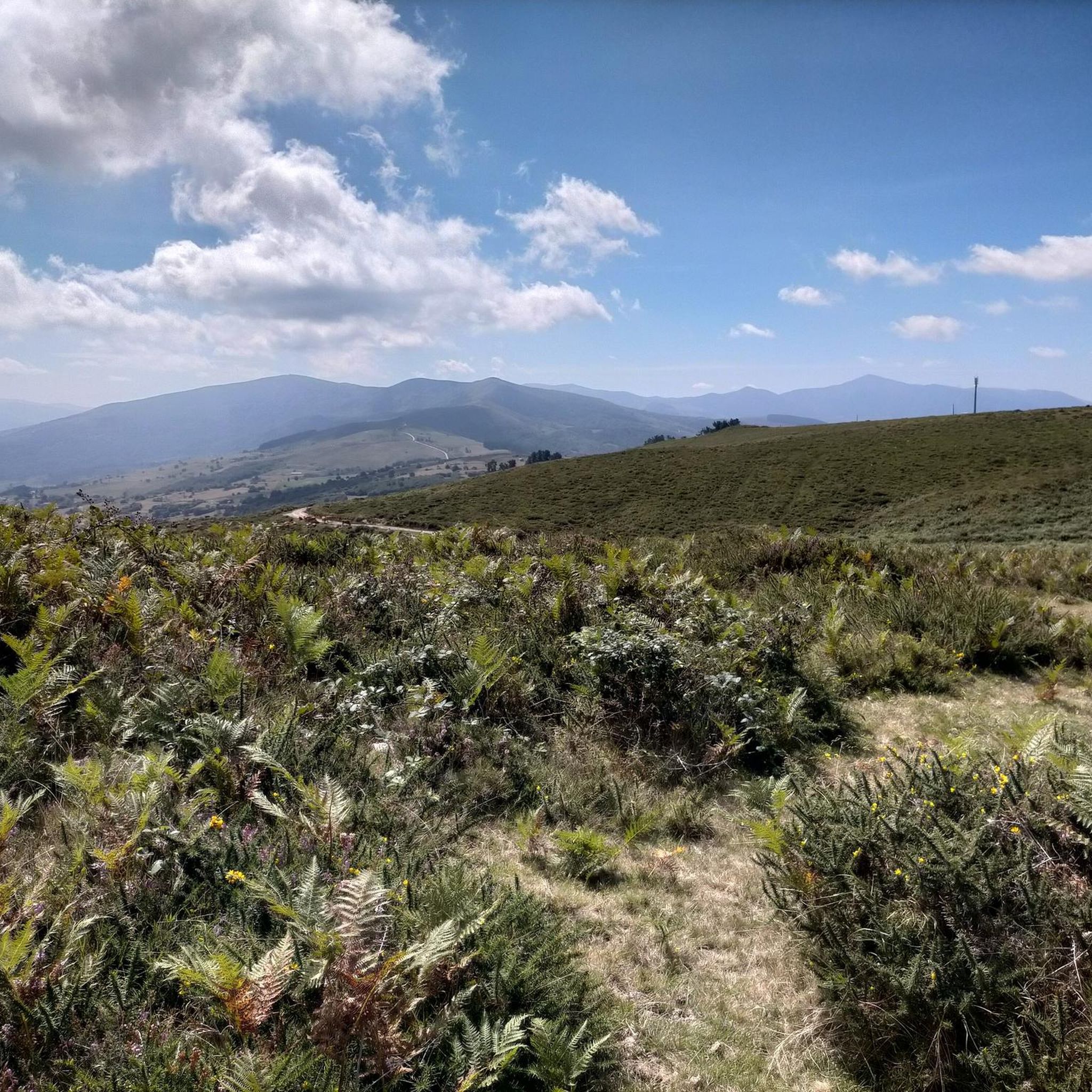
Running Trails in Saja-Besaya
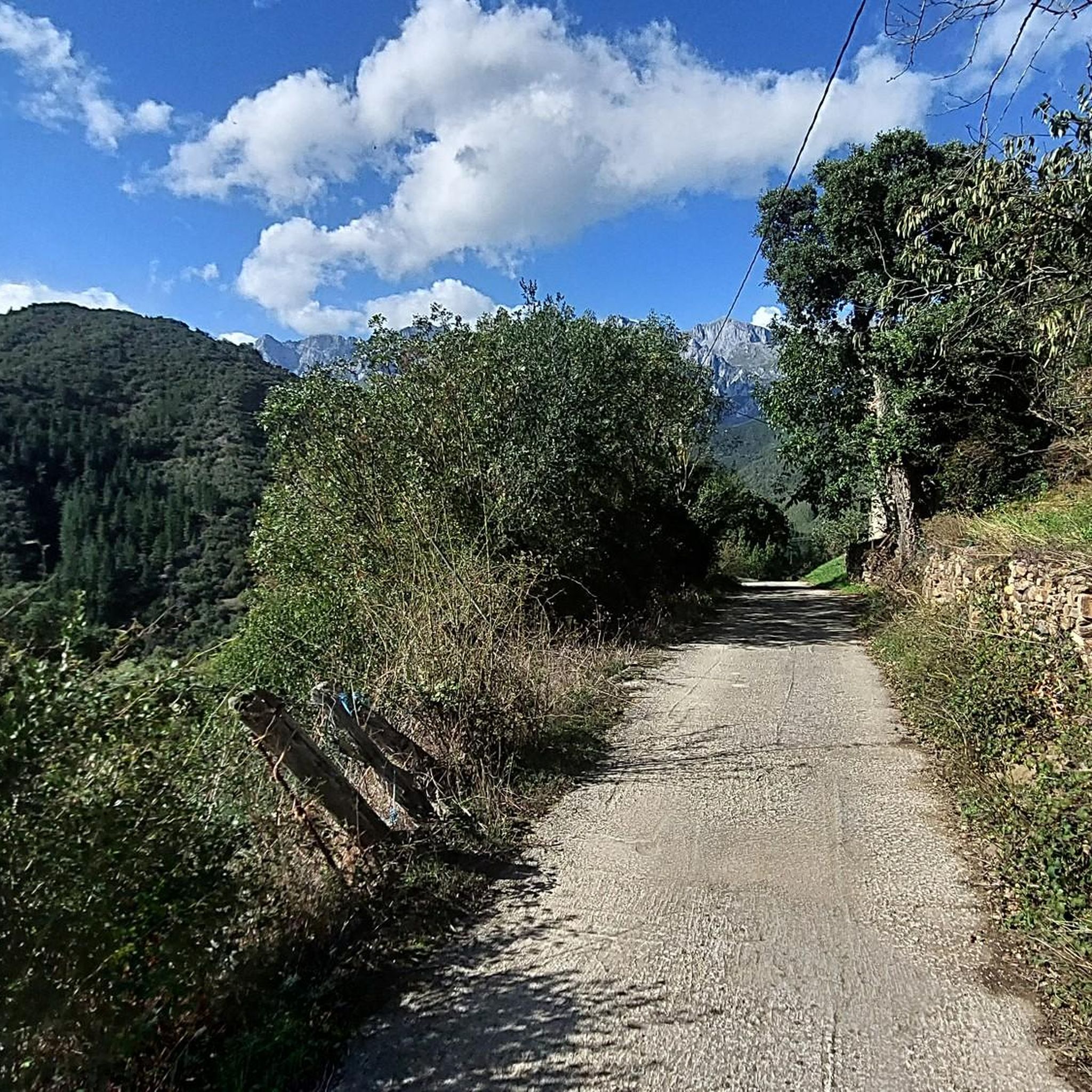
Running Trails around Lamasón
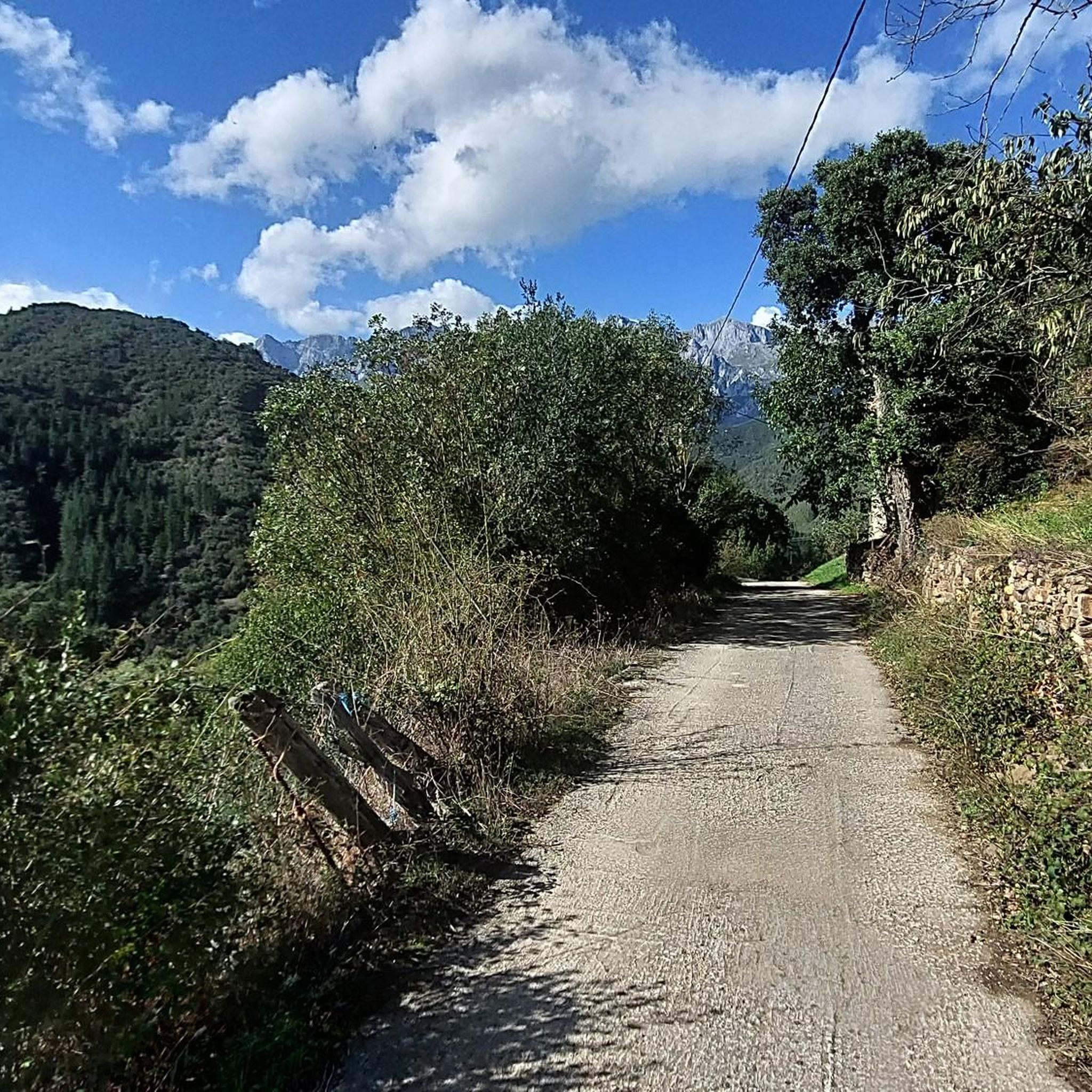
Running Trails around Polaciones
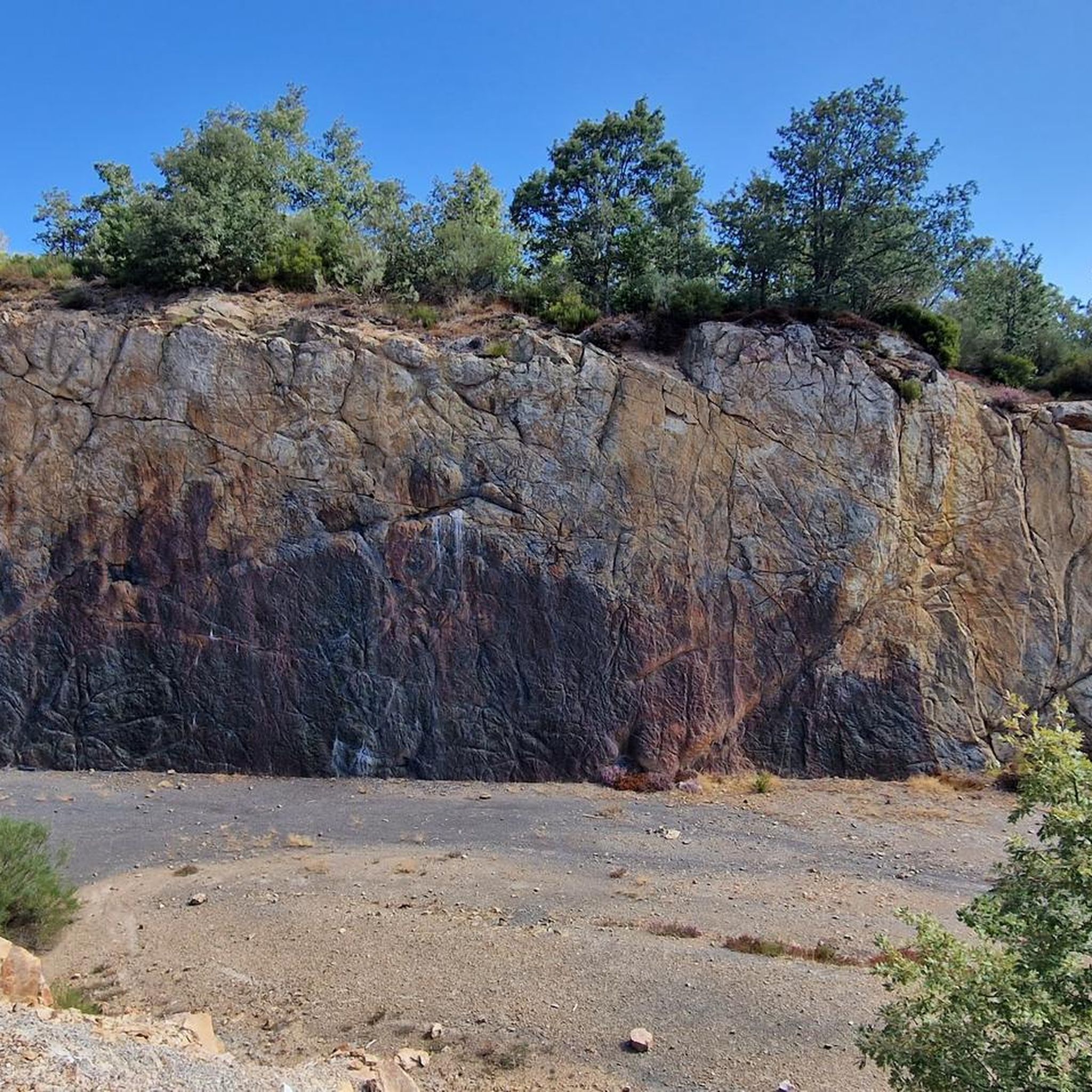
Running Trails in Lic-Valles Altos Del Nansa Y Saja Y Alto Campoo
Running Trails in Lic-Rio Saja
Running Trails around Peñarrubia
Running Trails in Desfiladero De La Hermida
Running Trails in Sierra Del Cordel
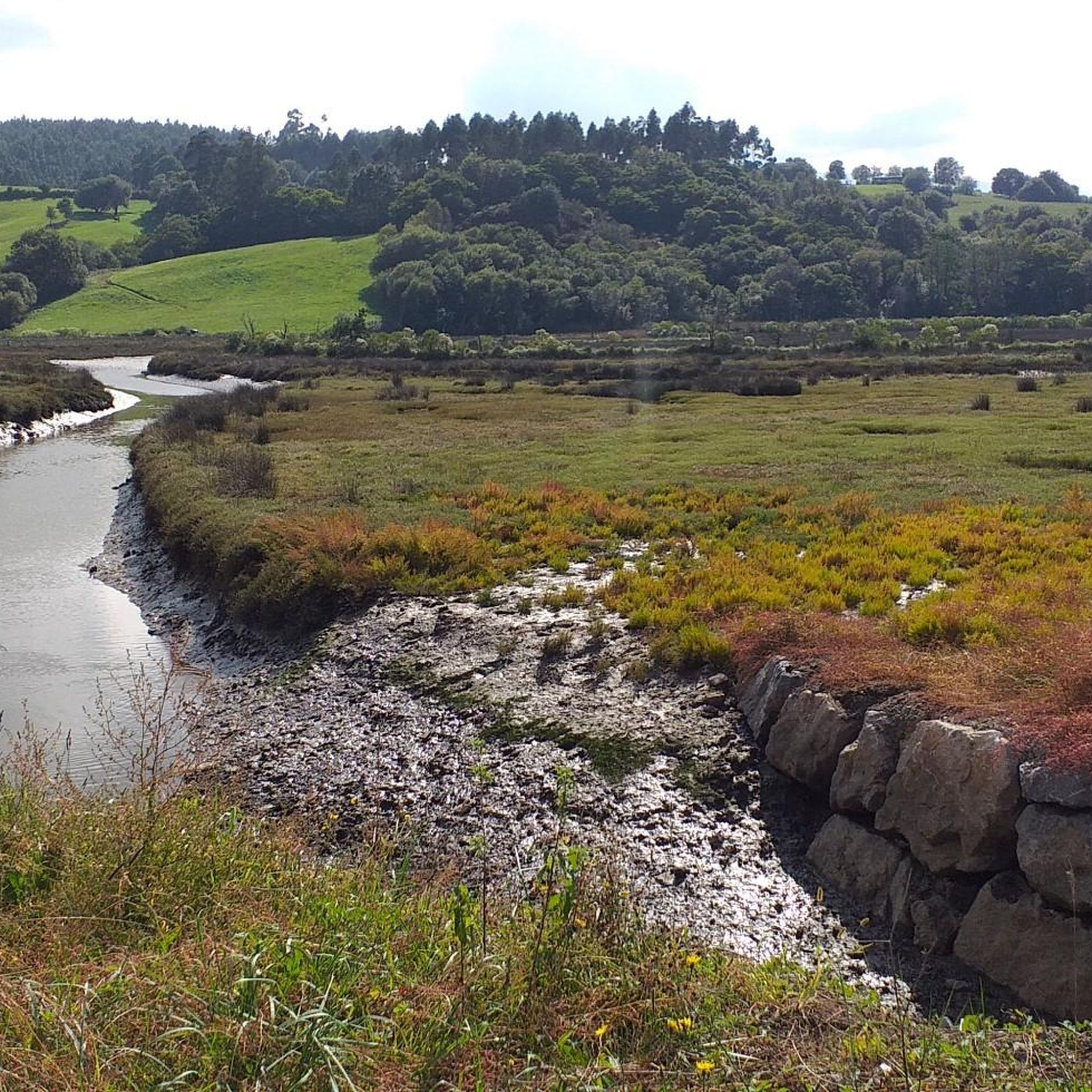
Running Trails around Ruente
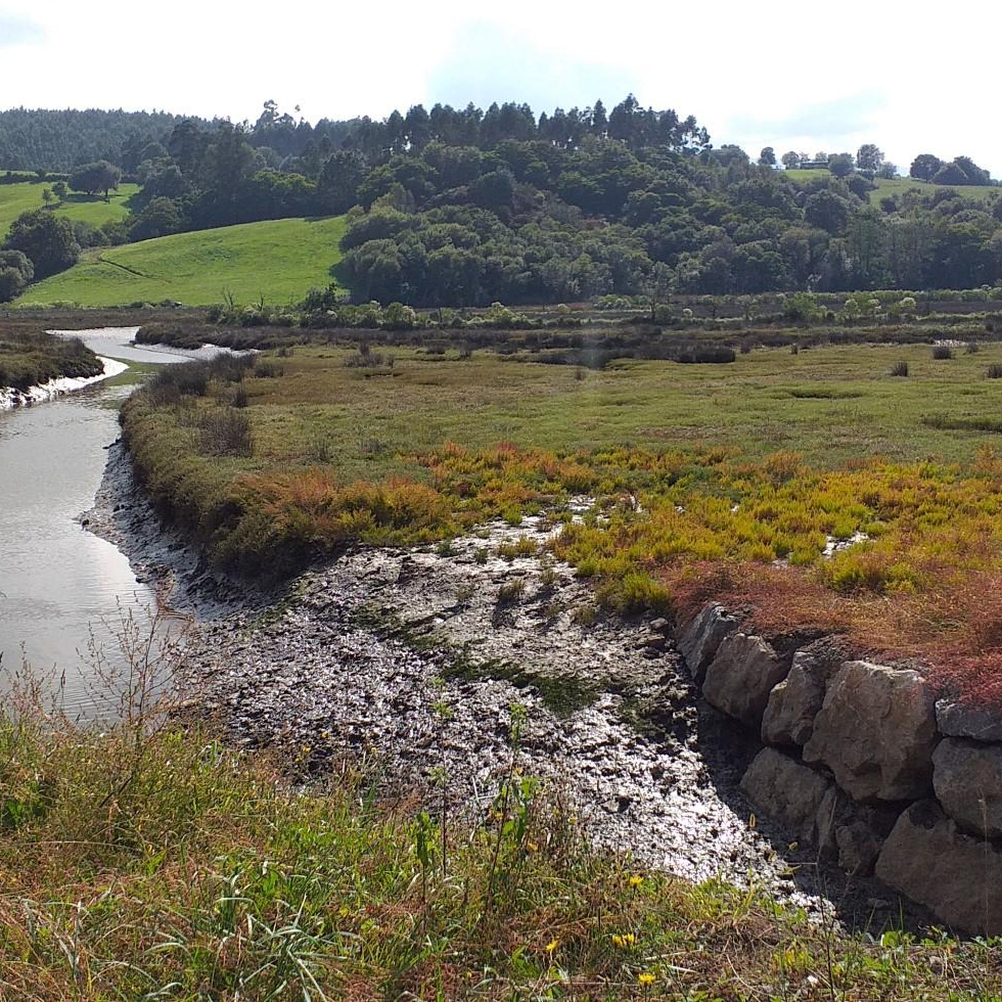
Running Trails around National Park Saja-Besaya
Other adventures around Tudanca-Cabuerniga


Tips from the Community

The Pico Tres Mares offers a great view of the surrounding peaks and valleys. The three valleys, each separated by mountain ridges, drain via their respective river systems into the Mediterranean Sea (Rio Hijar / Ebro), the Cantabrian Sea (Rio Nansa), and the Atlantic Ocean (Rio Pisuerga), from which the summit gets its name. From up here, you can also clearly see the beginning of the path to Peña Labra, which essentially runs along or near the ridge to the west - and with reasonably good visibility, the Picos de Europa are clearly visible to the northwest, standing out distinctly from the surrounding mountains of the Cordillera Cantabrica, even if some are not that much lower. There is a viewing platform at the summit - not pretty, but it allows even visitors without mountain experience to look around safely.
0
0

Whenever I pass by here, even by car, I take a look at this beautiful bridge.
1
0
Beautiful site, and right in the town.
1
0

Added to the collection: komoot.com/de-de/collection/3600632/-naturdenkmaeler-besondere-baeume-und-weitere-schaetze-der-natur
0
0

I went first thing in the morning and loved watching the sunrise. The route is manageable, although the descent is a bit long due to the curves and loose stones.
0
0

The Bujilices "Tumbao" Oak, located in Ucieda (Ruente) within the Saja-Besaya Natural Park, is one of Cantabria's most unique and magical trees. The tree fell under the weight of snow and wind at the end of the 19th century, but it didn't die. Four vertical branches sprouted from the fallen trunk, developing as if they were independent trees, creating a unique and spectacular shape.
2
0

Beautiful meadow on a wide esplanade with wooden tables. From this point begins the long and hard climb to El Moral.
0
0

Bujilices fallen oak tree in Ucieda. Bucolic place to make a stop along the way, read life.
0
0
Frequently Asked Questions
How many running routes are available in Tudanca-Cabuerniga?
There are over 20 dedicated running routes around Tudanca-Cabuerniga, catering to various fitness levels. These include easy loops, moderate paths, and challenging trail runs through the region's diverse terrain.
Are there any easy running routes suitable for beginners or a relaxed jog?
Yes, Tudanca-Cabuerniga offers several easy routes. A great option is the Running loop from Cabuérniga, which is about 2.9 miles (4.7 km) and takes approximately 29 minutes to complete, leading through the village surroundings.
Can I find circular running trails in the area?
Absolutely. Many routes in Tudanca-Cabuerniga are circular. For instance, the La Fuentona de Ruente – running circular by the Saja river is a moderate 2.9-mile (4.7 km) path that explores the area around the Saja river, featuring the natural spring of La Fuentona.
What kind of natural attractions can I see while jogging in Tudanca-Cabuerniga?
The region is rich in natural beauty. You can encounter features like the Fallen Oak of Brujilices within the Saja-Besaya Natural Park, or the picturesque Lamiña Waterfalls. Some routes also offer stunning views from peaks like Tres Mares Peak or Peña Labra.
Are there any challenging trail running options for experienced runners?
Yes, Tudanca-Cabuerniga is known for its challenging mountainous terrain. The Ruta de los Puentes Trail is a difficult 9.7-mile (15.6 km) route with significant elevation gain, winding through the Saja-Besaya Natural Park. Another demanding option is Peña Labra y Pico Tres Mares – trail run desde el collado de Fuente del Chivo.
What do other runners say about the trails in Tudanca-Cabuerniga?
The running routes in Tudanca-Cabuerniga are highly rated by the komoot community, with an average score of 4.0 stars from around 10 reviews. Runners often praise the varied terrain, from deep valleys to dense forests, and the well-maintained paths that offer options for all ability levels.
Can I find running routes that pass through the Saja-Besaya Natural Park?
Absolutely. The Saja-Besaya Natural Park is a prominent feature of the region, and many running routes traverse it. The Ruta de los Puentes Trail is a prime example, offering a challenging run through its lush landscapes.
Are there any routes that offer panoramic views?
Yes, the mountainous relief of Tudanca-Cabuerniga provides numerous viewpoints. Routes that ascend towards peaks like Tres Mares Peak or Peña Labra will reward you with spectacular panoramic vistas of the Cantabrian interior and the Picos de Europa National Park.
What is the best time of year for running in Tudanca-Cabuerniga?
The region's diverse climate means that spring and autumn generally offer the most pleasant temperatures for running, with lush greenery and vibrant foliage. Summer can be warm, especially at lower elevations, while winter can bring snow to higher mountain trails, offering a different kind of challenge for experienced trail runners.
Are there any moderate running routes for those looking for a bit more challenge than an easy jog?
Certainly. The Running loop from Sopeña is a moderate 5.5-mile (8.8 km) trail that provides a good balance of distance and elevation, taking approximately 1 hour to complete. It's a great option for runners looking to push themselves a little further.
Are there any long-distance running routes for endurance training?
For endurance training, you can explore longer and more challenging routes. The Wooden bridge – Lush vegetation loop from Los Tojos is a difficult 26.1-mile (42.1 km) route with significant elevation gain, ideal for long-distance trail runners seeking a demanding experience.
Most popular routes around Tudanca-Cabuerniga
Most popular attractions around Tudanca-Cabuerniga

Get inspired with the komoot mobile app


Didn’t find what you were looking for?
Check out more Running Trails & Routes throughout Tudanca-Cabuerniga below and find the perfect route in your destination.
Explore more
Browse the best Running Trails & Routes in other regions.
