The best gravel rides around Saint-Bonnet-De-Montauroux
4.4
(8)
34
riders
5
rides
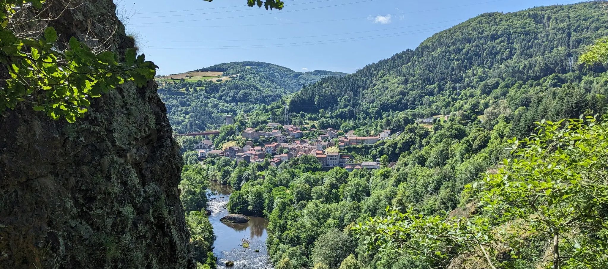
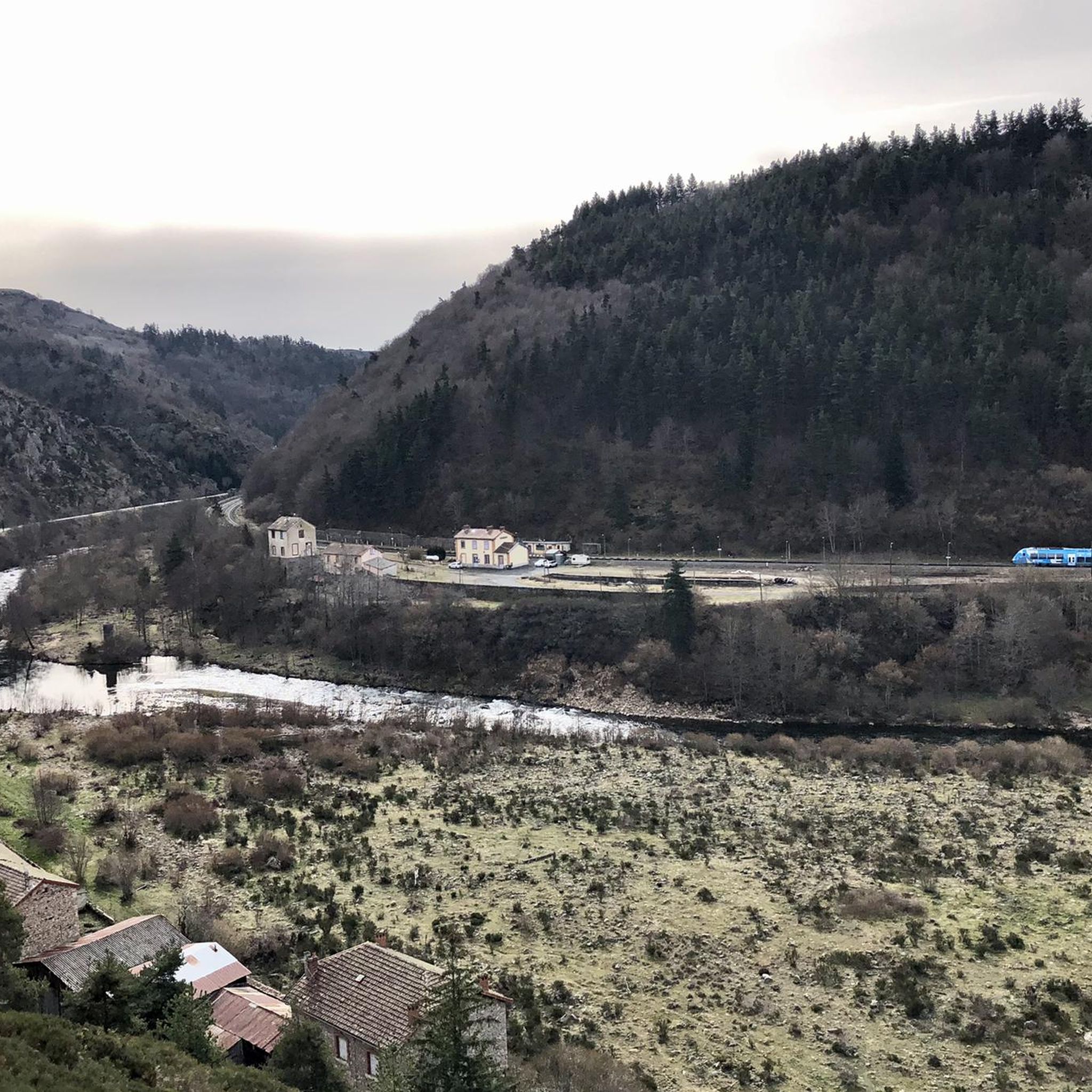
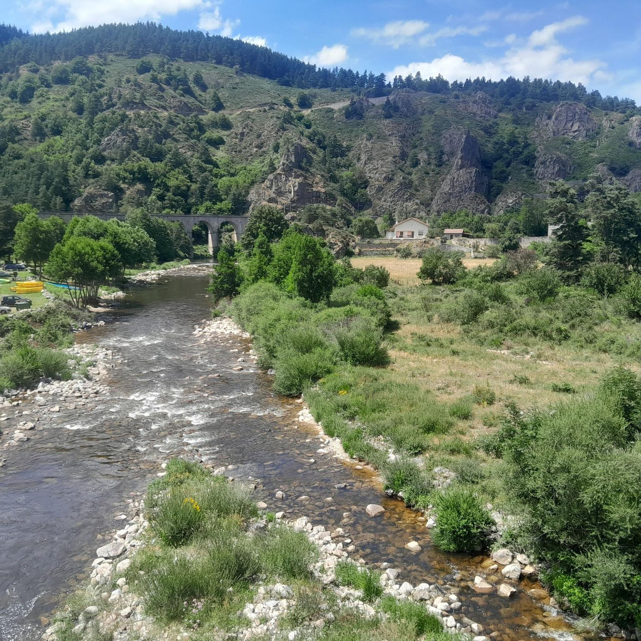
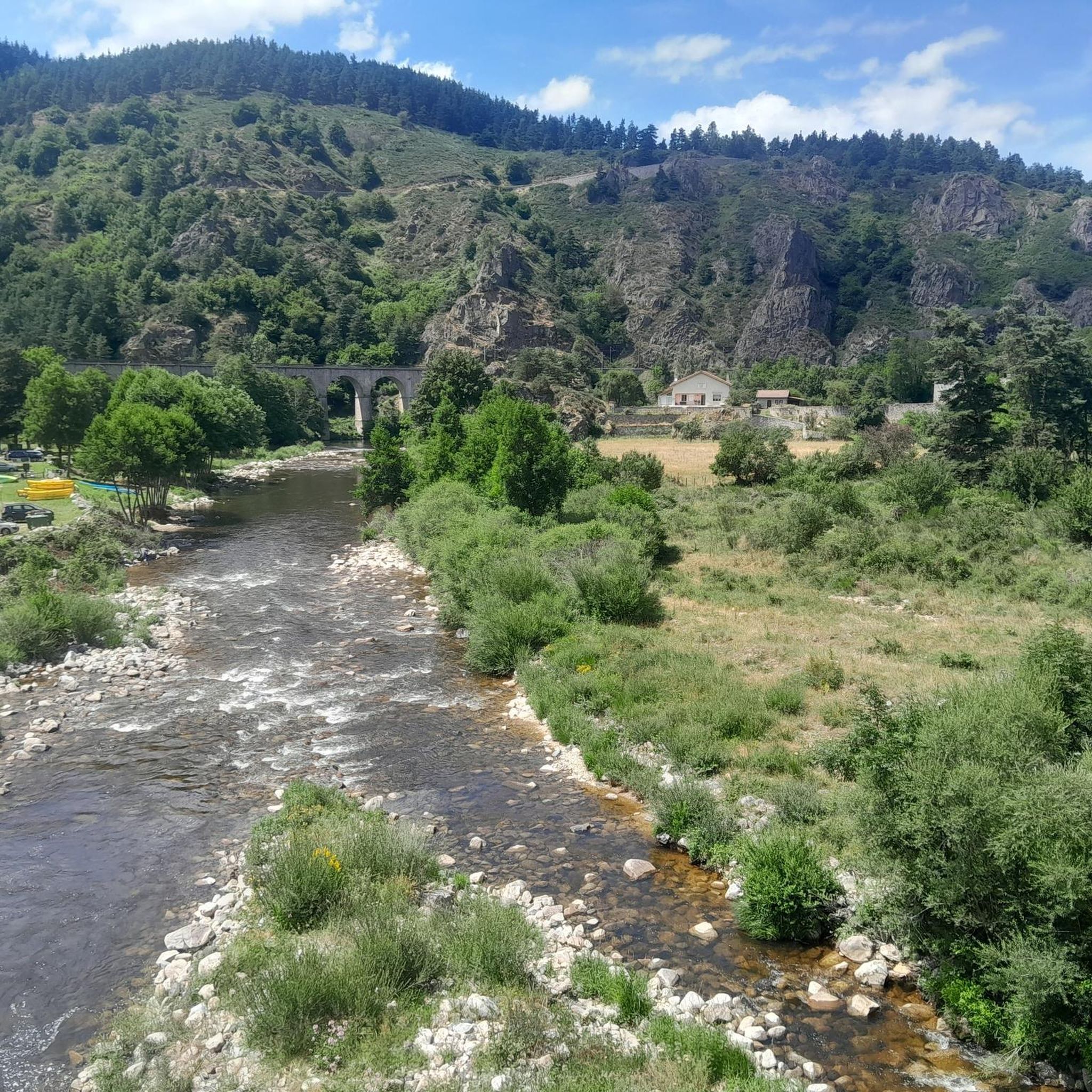
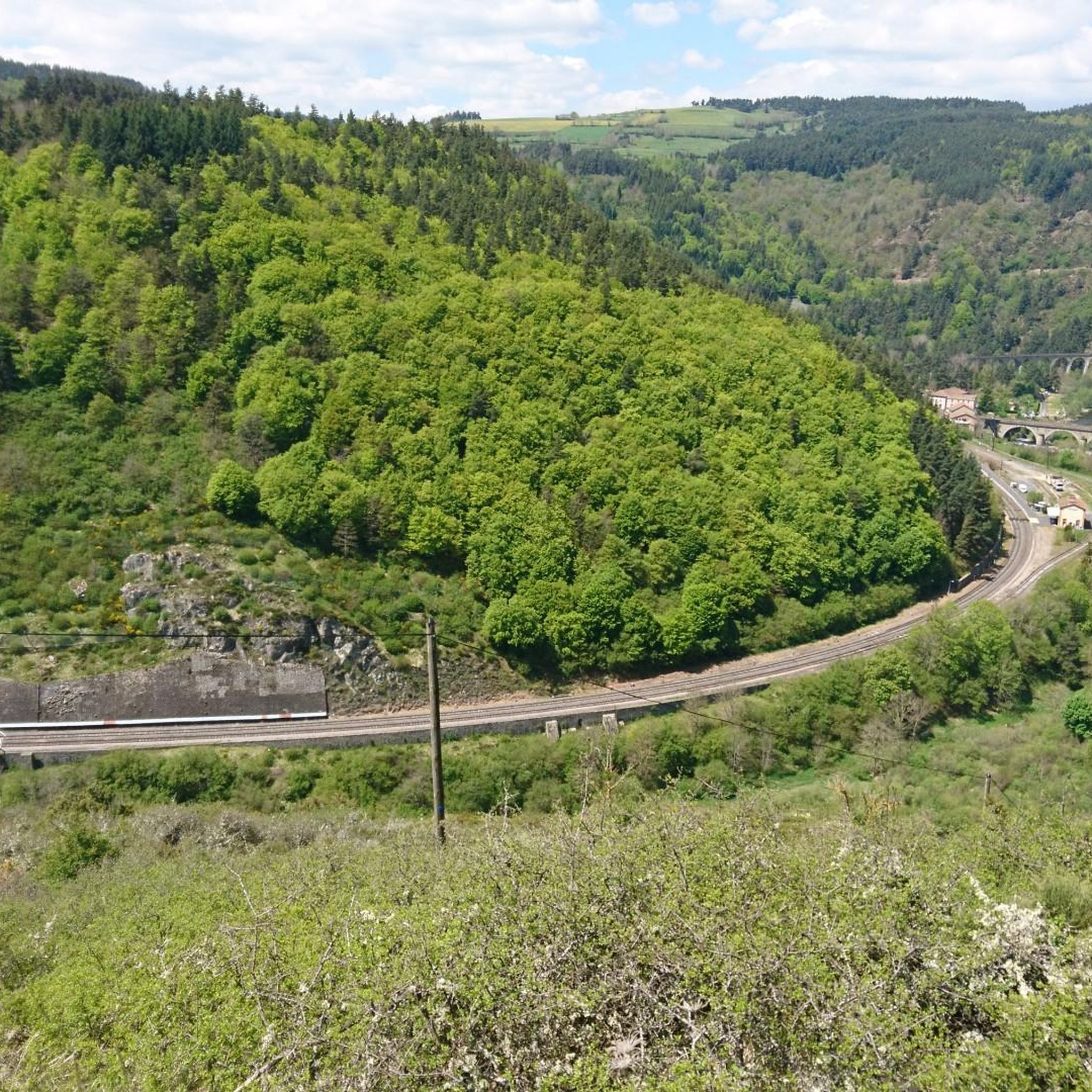
Gravel bike trails around Saint-Bonnet-De-Montauroux are situated in the Lozère department of the Occitanie region, characterized by a varied landscape of plains, hills, mountains, and valleys. The Chapeauroux River flows through the area, contributing to scenic routes along waterways. Elevations range from 729 to 1,180 meters (2,392 to 3,871 feet), providing diverse topography for gravel biking. This region offers a blend of natural features, including forests and open terrain, suitable for varied cycling experiences.
Best gravel bike trails around Saint-Bonnet-De-Montauroux
…Last updated: May 21, 2026
4.3
(6)
14
riders
32.5km
02:26
480m
480m
Hard gravel ride. Very good fitness required. Mostly paved surfaces. Suitable for all skill levels.
7
riders
79.7km
06:19
1,360m
1,360m
Hard gravel ride. Very good fitness required. Mostly paved surfaces. Suitable for all skill levels.

Sign up for free
5.0
(1)
2
riders
39.1km
02:59
770m
770m
Hard gravel ride. Very good fitness required. Mostly paved surfaces. Suitable for all skill levels.
4.0
(1)
4
riders
17.1km
01:14
200m
200m
Moderate gravel ride. Good fitness required. Mostly paved surfaces. Suitable for all skill levels.
7
riders
21.6km
01:41
340m
340m
Moderate gravel ride. Good fitness required. Mostly paved surfaces. Suitable for all skill levels.
Our route recommendations are based on thousands of hikes, rides, and runs completed by other people on komoot.
Start today with a free account
Your next adventure awaits.
Login or Signup
Popular around Saint-Bonnet-De-Montauroux
Other adventures around Saint-Bonnet-De-Montauroux

Tips from the Community

These ruins once housed the Choisinets castle and orphanage. The construction of this unusual building spanned the entire second millennium. The ruins of two towers dating from the 12th and 17th centuries are still in good condition, testifying to the various architectural influences.
0
0
In one of the best-preserved parts of the Margeride massif, the Three Sisters pass is said to have been named after the story of three sisters born in the parish of La Panouse, all three of whom were hired as servants in the local barracks. According to the dictionary of the rural world, these barracks refer to old inns located at the start of steep roads. This allowed the wagoners to reinforce their teams before setting off.
1
0
Unexpected and yet very present! In the middle of this wild part of the Margeride massif you will find this superb washing and repair station for your bike: compressor, all valves and tools are available free of charge, while the washing device requires a contribution (normal). Also take the opportunity to fill your water bottles thanks to the small tap on the left.
0
0

Lac de Charpal lies at an altitude of 1,360 meters amidst raised bogs, forests, and heathland. This artificial reservoir, built in the 1930s, supplies Mende with drinking water. Today, it is a tranquil retreat, popular for hiking, nature observation, and its protected flora and fauna.
0
0
Lac de Charpal lies at an altitude of 1,360 meters amidst raised bogs, forests, and heathland. This artificial reservoir, built in the 1930s, supplies Mende with drinking water. Today, it is a tranquil retreat, popular for hiking, nature observation, and its protected flora and fauna.
0
0

Market on Tuesdays (summer) and Saturdays
0
0
There we found the Meteil bread seller (a mixture of rye and sourdough) from the previous day's market in Costaros, under the market hall. Producers of fruit and vegetables, cheeses, and charcuterie. Everything for an ideal picnic.
0
0
Rehabilitation work in progress. Please note that the site is not on the route. You must take a 200m detour from the intersection with the statue of Saint Germaine.
0
0
Frequently Asked Questions
How many gravel bike trails are available around Saint-Bonnet-De-Montauroux?
There are 6 gravel bike routes available around Saint-Bonnet-De-Montauroux, offering a range of experiences from moderate to difficult. These routes are highly rated by the komoot community, with an average score of 4.1 stars.
What kind of terrain can I expect on gravel bike routes in this region?
The region around Saint-Bonnet-De-Montauroux offers a diverse landscape for gravel biking, characterized by a mix of plains, hills, mountains, and valleys. You'll encounter varied topography with elevations ranging from 729 to 1,180 meters, providing a blend of natural features including lush forests and more open, sometimes challenging, terrains. The Chapeauroux River also contributes to scenic routes along waterways.
Are there gravel bike routes suitable for beginners or less experienced riders?
While many routes in the area are considered difficult, there are also moderate options available. For instance, the Lake Naussac – Nice return to Langogne loop from Langogne is a moderate 17.1 km route with a manageable elevation gain of 204 meters, offering a good option for those seeking a less strenuous ride.
Are there challenging gravel bike routes for experienced riders?
Yes, the region offers several challenging routes for experienced gravel bikers. One such route is the Col des Trois Sœurs – Baraque des Bouviers (1410 m) loop from Grandrieu, a difficult 39.1 km trail with a significant elevation gain of 771 meters.
Can I find circular gravel bike routes in the area?
Yes, many of the gravel bike routes in the Saint-Bonnet-De-Montauroux area are designed as loops, allowing you to start and finish at the same point. Examples include the Lake Naussac – Auradoux Pond loop from Le Mas d'Armand and the Lake Naussac – Lake Naussac loop from Le Mas d'Armand.
What natural landmarks or scenic viewpoints can I discover on gravel bike trails?
The region is rich in natural beauty. You can find routes that offer views of the Chapeauroux River and the broader Lozère landscape. Nearby attractions include Lake Bouchet and Chapeauroux. The Lake Naussac – Auradoux Pond loop from Le Mas d'Armand specifically offers views of local lakes.
Are there any waterfalls accessible by gravel bike?
Yes, the region features natural attractions like the Donozau Waterfall, which could be an interesting point of interest to include in your gravel biking itinerary. Always check the specific trail conditions for accessibility.
What cultural or historical sites are near the gravel biking routes?
Beyond the natural landscape, you can explore cultural and historical sites. The picturesque historic village of Pradelles is approximately 14 km away, known for its lovely views. The town of Le Puy-en-Velay, an important pilgrimage site with its cathedral Notre-Dame, is about 29 km away and makes for a significant cultural detour.
Is there parking available for gravel bikers in Saint-Bonnet-De-Montauroux?
While specific parking areas dedicated solely to gravel bikers are not detailed, Saint-Bonnet-De-Montauroux and surrounding villages typically offer public parking options. It's advisable to check local signage upon arrival or consult with local tourist information for the most convenient spots, especially when starting a route from a specific village like Le Mas d'Armand or Grandrieu.
What is the best time of year for gravel biking in Saint-Bonnet-De-Montauroux?
The varied terrain and natural beauty of the Lozère department make it appealing throughout much of the year. Spring and autumn generally offer pleasant temperatures and vibrant scenery, ideal for gravel biking. Summer can also be good, though some routes might be more exposed to the sun. Winter conditions can vary, with higher elevations potentially experiencing snow or colder temperatures.
Are there family-friendly gravel biking options in the area?
While the region is known for its varied and sometimes challenging terrain, families looking for easier rides might consider shorter, less elevated sections or routes designated as moderate. The View of the Lake – Granite Cross loop from Chastanier is a moderate 9.6 km route with 193 meters of elevation, which could be suitable for families with some biking experience.
Most popular routes around Saint-Bonnet-De-Montauroux
Most popular attractions around Saint-Bonnet-De-Montauroux

Get inspired with the komoot mobile app


Explore more
Browse the best Gravel rides in other regions.
