The best walks and hikes around Saint-Bonnet-De-Montauroux
4.6
(227)
1,610
hikers
68
hikes
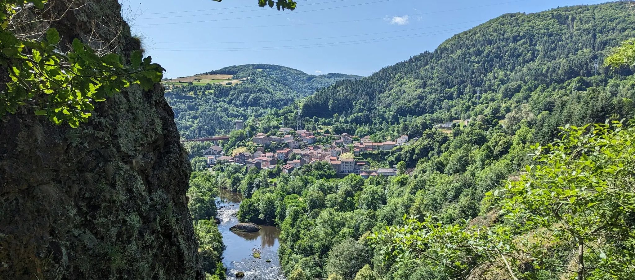
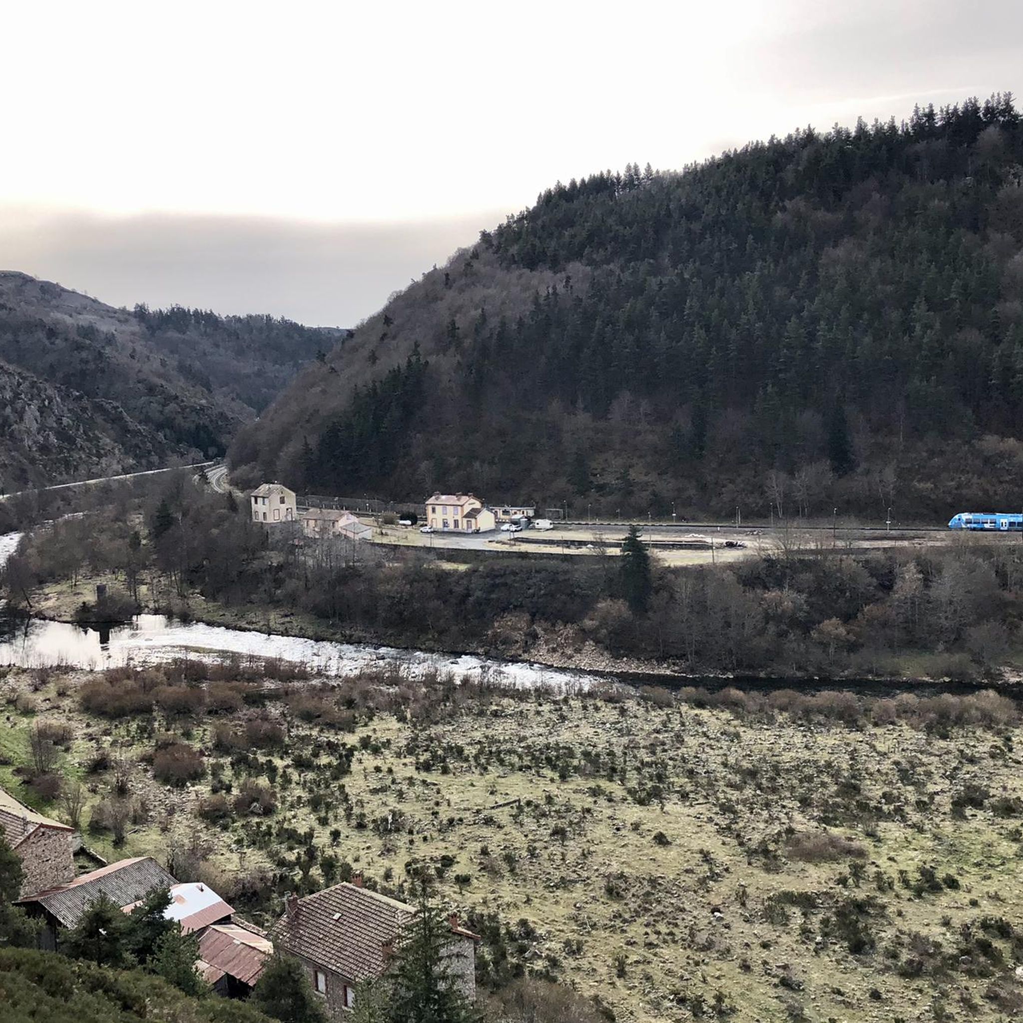
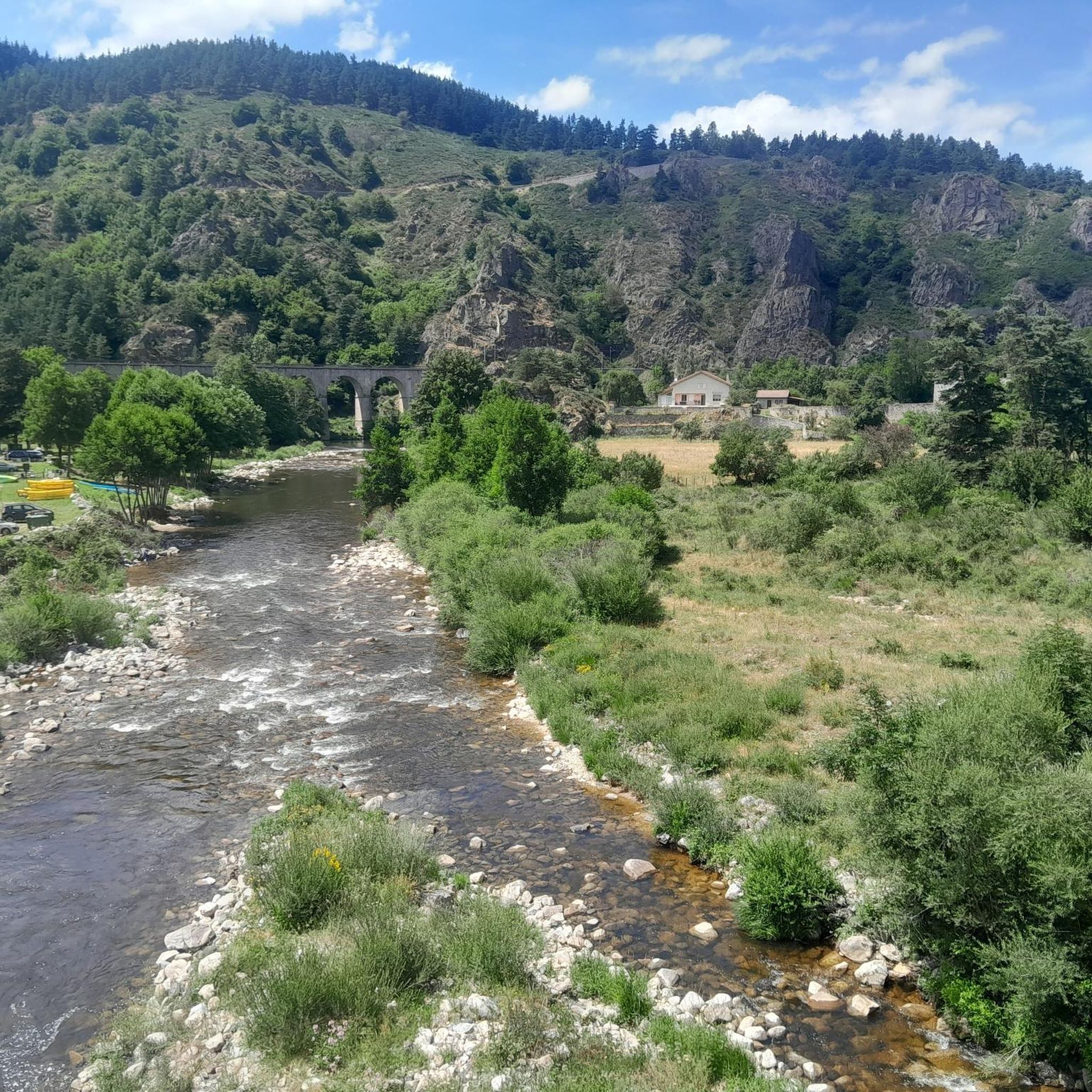
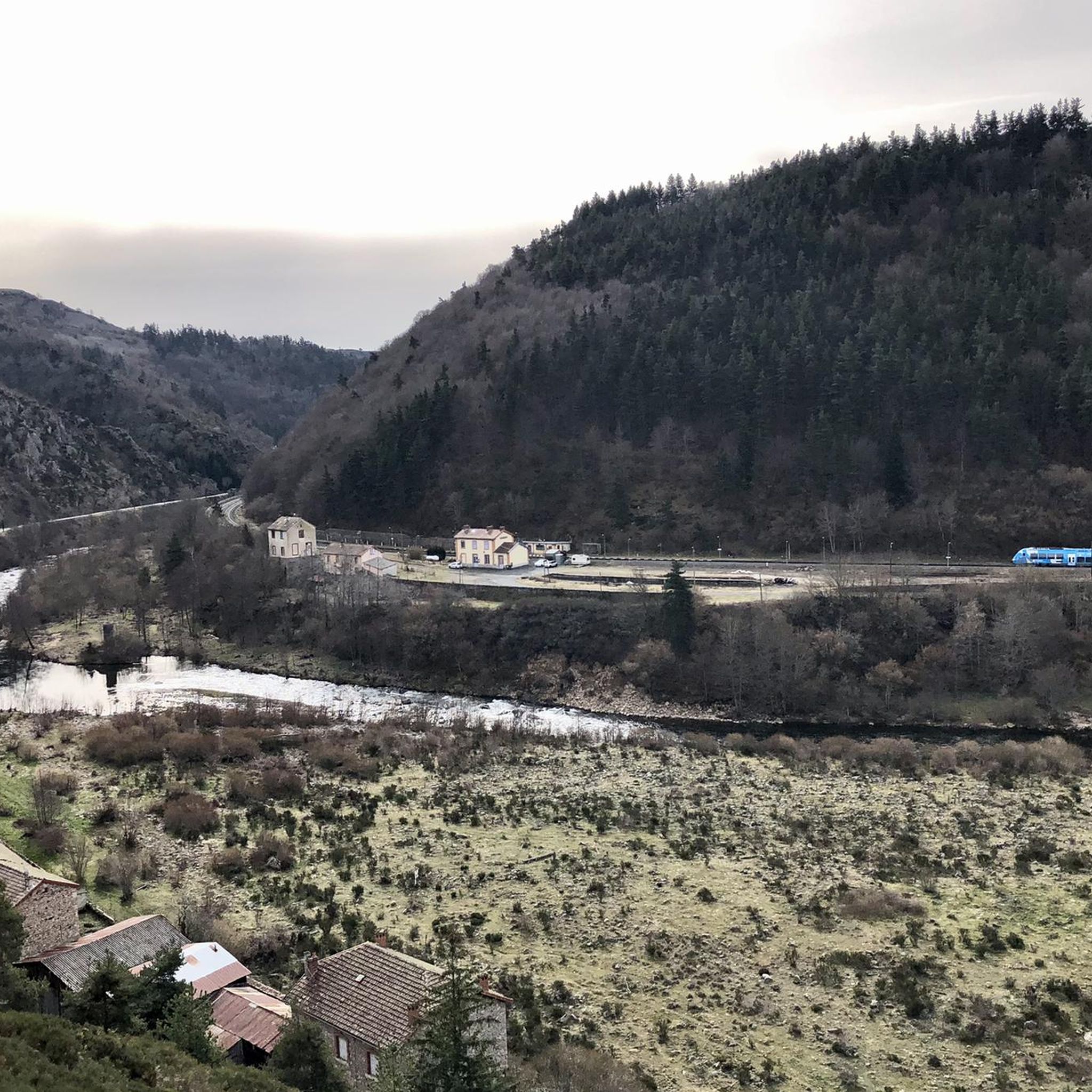
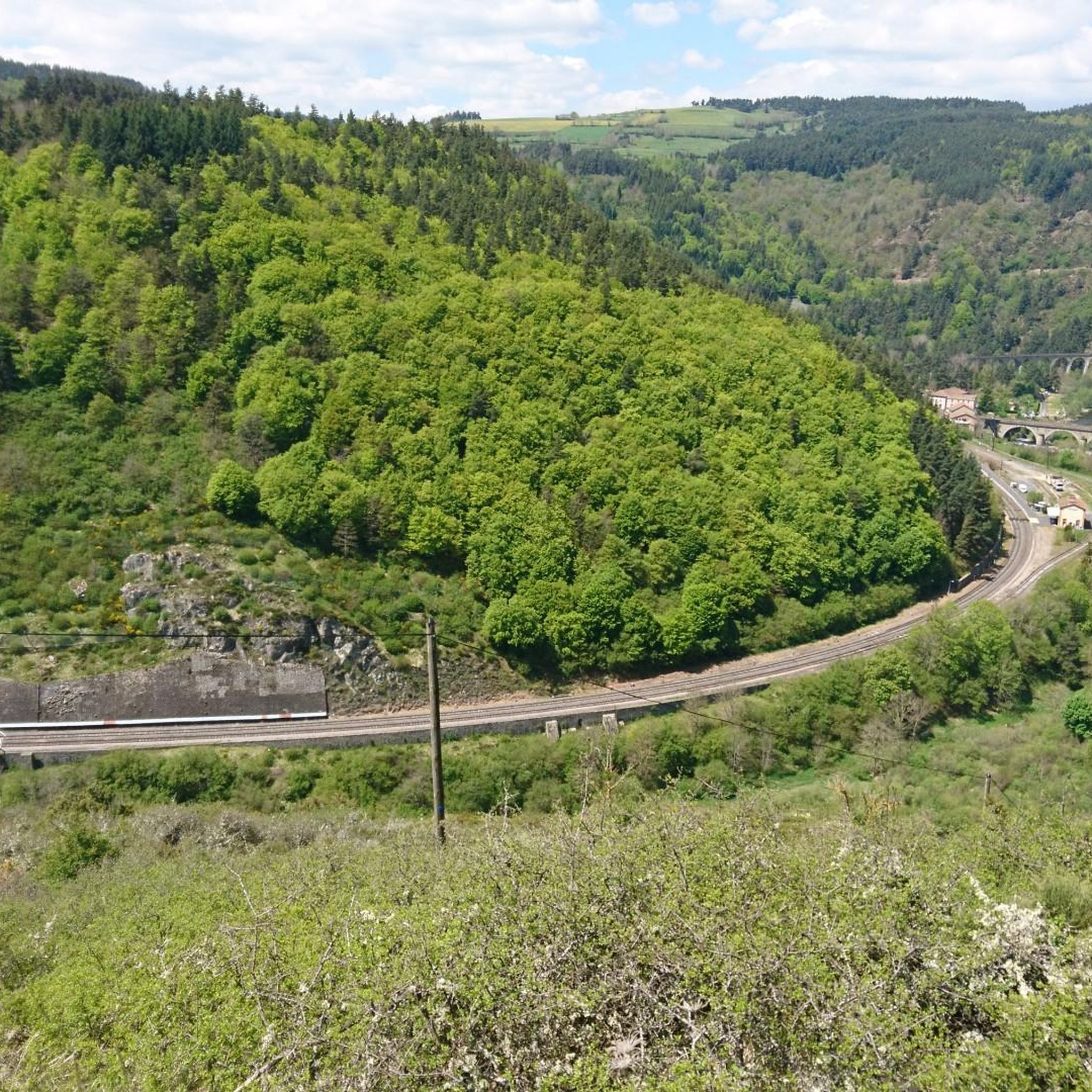
Hiking around Saint-Bonnet-De-Montauroux offers access to the diverse landscapes of the Margeride region in Lozère, southern France. The area is characterized by a mountainous decor, vast green spaces, meadows, and forests, with elevations ranging from approximately 729 to 1,180 meters. Notable natural features include the dramatic gorges of the Allier and Chapeauroux rivers, expansive plateaus, and the dense Forest of Patus. Hikers can explore characteristic bocage landscapes, rolling prairies, and extensive woodlands.
Best hiking trails in Saint-Bonnet-De-Montauroux
- The most popular hiking route is View of Lac de Naussac – Lake Naussac loop from Naussac, a 7.3 miles (11.7 km) trail that takes 3 hours 0 minutes to complete. This route offers views of Lac de Naussac.
- Another top favourite among local hikers is Saint-Haon – The New World loop from Saint-Haon, a moderate 4.5 miles (7.3 km) path. This trail explores the local countryside around Saint-Haon.
- Local hikers also love the Château de Jonchères loop from Rauret, a 5.5 miles (8.8 km) trail leading through varied terrain, often completed in about 2 hours 32 minutes.
- Hiking around Saint-Bonnet-De-Montauroux is defined by dramatic river gorges, expansive plateaus, and dense forests. The network offers options for different ability levels, from easy walks to more challenging routes.
- The routes in Saint-Bonnet-De-Montauroux are highly rated by the komoot community with an average score of 4.6 stars from more than 100 reviews. More than 1000 hikers have used komoot to explore Saint-Bonnet-De-Montauroux's varied terrain.
Last updated: October 2, 2026
3.0
(1)
6
hikers
7.31km
02:16
260m
260m
Moderate hike. Good fitness required. Easily-accessible paths. Suitable for all skill levels.
5.0
(1)
5
hikers
8.75km
02:32
210m
210m
Moderate hike. Good fitness required. Easily-accessible paths. Suitable for all skill levels.

5.0
(1)
5
hikers
9.51km
02:42
210m
210m
Moderate hike. Good fitness required. Easily-accessible paths. Suitable for all skill levels.
5.0
(1)
2
hikers
7.84km
02:13
170m
170m
Moderate hike. Good fitness required. Easily-accessible paths. Suitable for all skill levels.
5.0
(1)
3
hikers
5.59km
01:36
130m
130m
Easy hike. Great for any fitness level. Easily-accessible paths. Suitable for all skill levels.
Get access to more routes and recommendations from other explorers.
Already have an account?
Our route recommendations are based on thousands of hikes, rides, and runs completed by other people on komoot.
Start today with a free account
Your next adventure awaits.
Popular around Saint-Bonnet-De-Montauroux

Other adventures around Saint-Bonnet-De-Montauroux

Tips from the Community

There is no doubt that you are in Haute-Loire in Saint-Haon. In fact, we find the specialties of this department there: the cultivation of green lentils from Puy, the making of lace and cheeses. The town church, in Romanesque style, catches the eye with its comb bell tower which has four arcades. You will also find a bar and small shops.
1
0
Is it because you change department and enter a new world that this town took this strange name? Is it because there were once mines here which offered new perspectives to the inhabitants? The best is to ask the inhabitants of the village directly, if you come across them.
2
1

From the first glimpses of this lake at its western end to riding high above on a gravel track, this huge body of water is an imposing sight, sitting at 945 metres high (3,100 ft). Riding its full 10-kilometre (6.2 mi) length t's hugely tempting to head in for a dip to cool off in the summer months at one of its beaches near the small town of Naussac, before heading into Langogne.
0
1

Great view of the lake from the road.
1
0
Frequently Asked Questions
How many hiking trails are available around Saint-Bonnet-De-Montauroux?
There are over 50 hiking trails around Saint-Bonnet-De-Montauroux, offering a wide range of options for different preferences and skill levels. You'll find everything from easy strolls to more challenging routes through varied terrain.
What kind of terrain can I expect on hikes in Saint-Bonnet-De-Montauroux?
The terrain around Saint-Bonnet-De-Montauroux is highly diverse, characterized by a mountainous decor with elevations ranging from 729 to 1,180 meters. You can expect to hike through vast green spaces, meadows, and extensive forests. The region also features dramatic river gorges, such as those of the Allier and Chapeauroux, as well as expansive plateaus and characteristic bocage landscapes with hedgerows and drystone walls.
Are there any family-friendly hiking trails in the area?
Yes, Saint-Bonnet-De-Montauroux offers several family-friendly hiking options. Many trails are suitable for various ability levels, including easier walks that are perfect for families. These routes often lead through woodlands and open fields, providing pleasant and accessible outdoor experiences.
Can I bring my dog on the hiking trails?
Generally, dogs are welcome on many hiking trails in the Saint-Bonnet-De-Montauroux region. However, it's always advisable to keep your dog on a leash, especially in areas with livestock or protected wildlife. Please ensure you respect local regulations and clean up after your pet.
Are there any circular walks or loop hikes available?
Yes, many of the trails around Saint-Bonnet-De-Montauroux are designed as circular routes, allowing you to start and end at the same point. For example, the View of Lac de Naussac – Lake Naussac loop from Naussac is a popular option, offering scenic views of Lac de Naussac. Another great loop is the Saint-Haon – The New World loop from Saint-Haon, which explores the local countryside.
What natural attractions or landmarks can I discover while hiking?
The region is rich in natural and historical attractions. You can explore the dramatic Gorges of the Allier and Chapeauroux rivers, and marvel at the impressive Viaduc de Chapeauroux. The Lake Bouchet is another beautiful natural lake. Some trails also lead through the marvellous Forest of Patus or offer expansive views from the Plateau du Devès. You might also encounter the Donozau Waterfall.
What do other hikers enjoy most about the trails in Saint-Bonnet-De-Montauroux?
The trails in Saint-Bonnet-De-Montauroux are highly rated by the komoot community, with an average score of 4.6 stars from over 100 reviews. Hikers often praise the wild nature, varied terrain, and the stunning landscapes, including the dramatic river gorges and expansive plateaus. The network of trails provides options for all ability levels, making it a popular destination for outdoor enthusiasts.
Are there any historical or cultural sites along the hiking routes?
Yes, hiking routes in the area often pass through typical Margeride villages, allowing you to explore local heritage. You might discover ancient Roman roads, traditional bread ovens, towers, and crosses, offering a glimpse into the region's rich history and culture.
Where can I find parking for hiking trails in Saint-Bonnet-De-Montauroux?
Parking availability varies by trailhead. Many villages and popular starting points for hikes, such as Naussac or Saint-Haon, offer designated parking areas. It's recommended to check the specific route details on komoot for information on parking at the trailhead you plan to use.
What is the best time of year to go hiking in Saint-Bonnet-De-Montauroux?
The region is beautiful throughout much of the year. Spring and autumn offer pleasant temperatures and vibrant scenery, with blooming wildflowers or colorful foliage. Summer is also popular, though some trails might be busier. Winter hiking is possible, but conditions can be more challenging, especially at higher elevations, so appropriate gear is essential.
Are there any long-distance or multi-day hiking options?
While many trails are suitable for day hikes, the extensive network and diverse landscapes of the Margeride region provide opportunities for combining routes or exploring longer sections. For example, the Naussac Beach – Lake Naussac loop from Fontanes is a longer moderate route at over 18 km. You can plan multi-day adventures by linking various trails and utilizing local accommodation options.
Most popular routes around Saint-Bonnet-De-Montauroux
Most popular attractions around Saint-Bonnet-De-Montauroux

Get inspired with the komoot mobile app


Explore more
Browse the best Hikes in other regions.
