The best gravel rides around Tanis
4.7
(74)
765
riders
14
rides
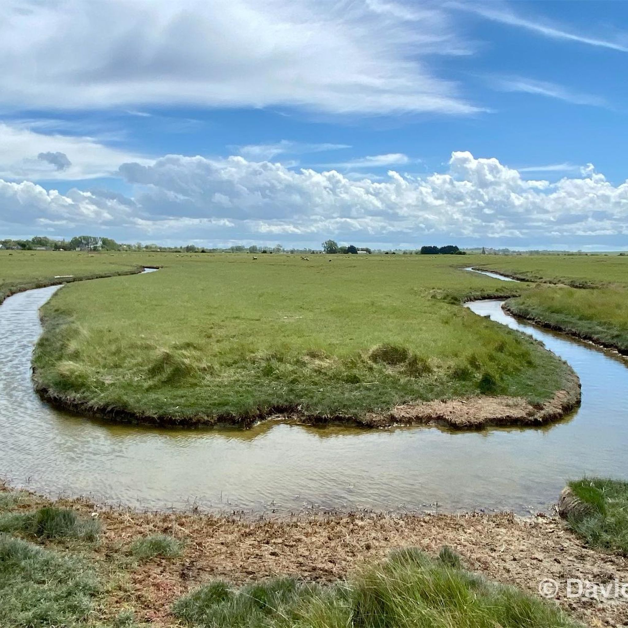
Gravel biking around Tanis features routes primarily along coastal areas and riverbanks, particularly near the Couesnon river. The terrain is generally flat, characterized by agricultural landscapes and views of the bay. Elevation changes are minimal, making it suitable for accessible gravel cycling. The region offers a mix of paved and unpaved paths, often following dikes and rural roads.
Best gravel bike trails around Tanis
- The most popular gravel bike trail is Moulin de la Saline – View of Cancale and…
Last updated: October 5, 2026
4.5
(23)
237
riders
79.4km
04:00
210m
210m
Moderate gravel ride. Good fitness required. Mostly paved surfaces. Suitable for all skill levels.
4.9
(8)
88
riders
Easy gravel ride. Great for any fitness level. Mostly paved surfaces. Suitable for all skill levels.

4.7
(19)
148
riders
37.3km
01:47
100m
100m
Easy gravel ride. Great for any fitness level. Mostly paved surfaces. Suitable for all skill levels.
4.7
(6)
78
riders
9.89km
00:37
10m
10m
Easy gravel ride. Great for any fitness level. Mostly paved surfaces. Suitable for all skill levels.
4.7
(7)
89
riders
Easy gravel ride. Great for any fitness level. Mostly paved surfaces. Suitable for all skill levels.
Get access to more routes and recommendations from other explorers.
Already have an account?
Our route recommendations are based on thousands of hikes, rides, and runs completed by other people on komoot.
Start today with a free account
Your next adventure awaits.
Tips from the Community

Absolument sublime !!!
1
0

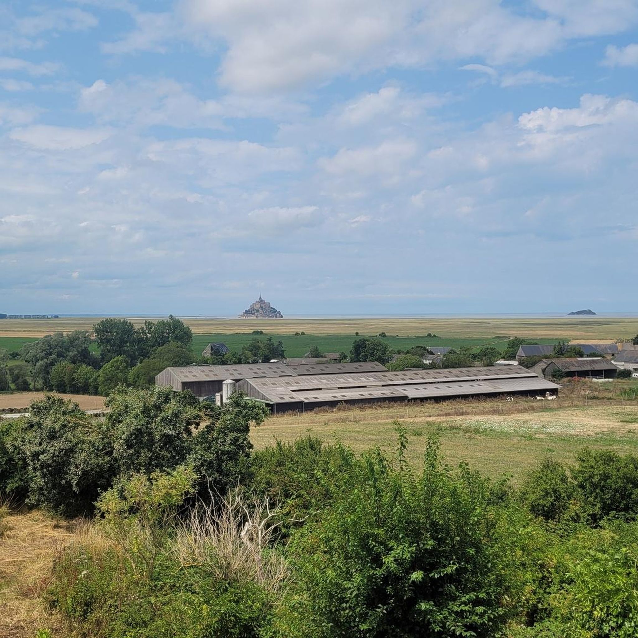
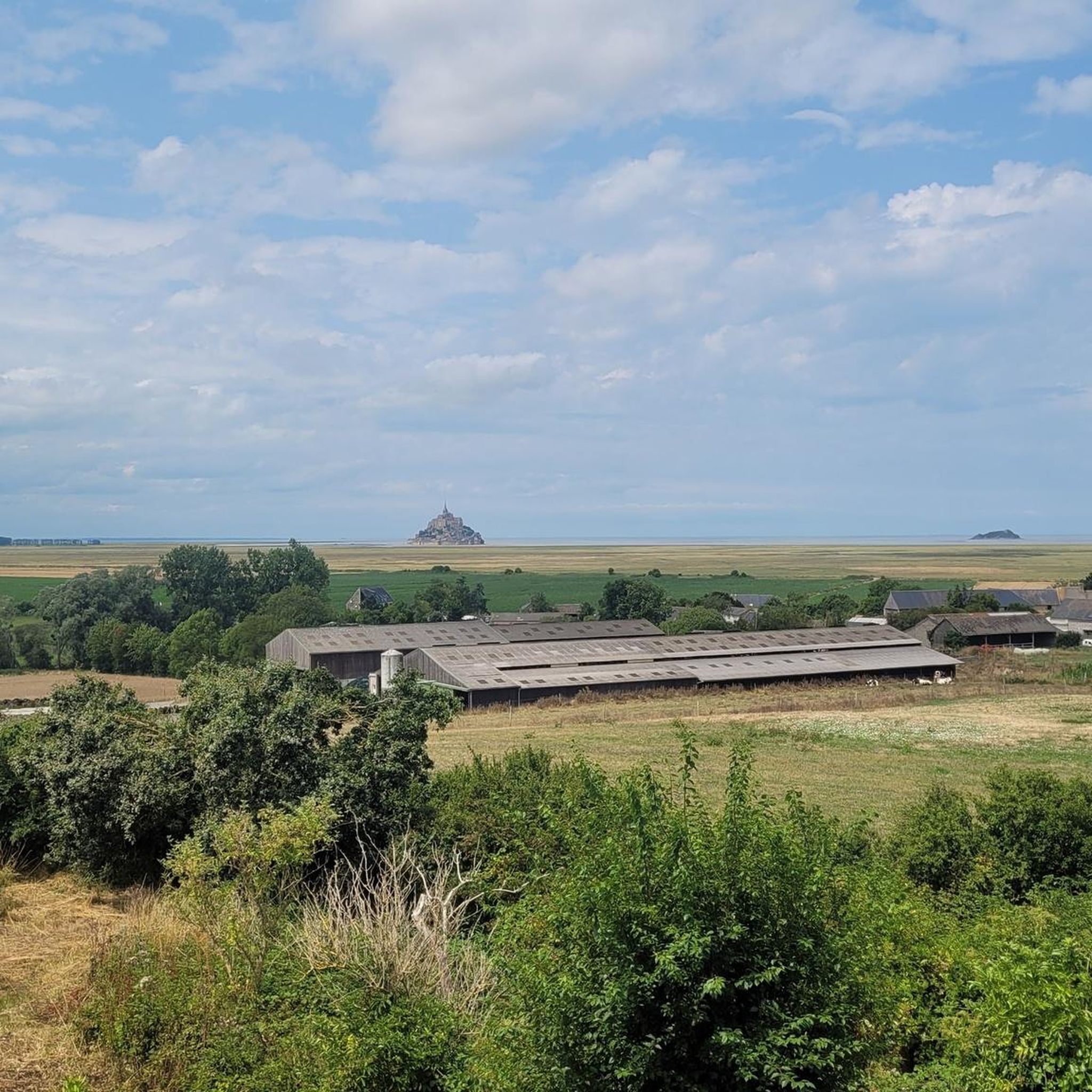
Mont-Saint-Michel is a world-famous rocky island and commune on the border between Normandy and Brittany in France. Crowned by a monumental, medieval Benedictine abbey, this architectural marvel has been a UNESCO World Heritage site since 1979. The bay of the mount is also known for Europe's strongest tides, with a tidal range of up to 14 meters.
2
0

The footpath along the Couesnon to the dam already offers an impressive view of Mont-Saint-Michel. From here, the path with an unobstructed view leads across the salt marshes and the bay, with the landmark of Normandy impressively rising against the wide landscape. Especially in calm weather and with changing light, atmospheric views emerge of Mont-Saint-Michel, the course of the Couesnon river, and the tide-shaped surroundings.
13
0
The Couesnon dam (Barrage du Couesnon) was completed in 2009 and is part of the measures to preserve the bay of Mont-Saint-Michel. The facility regulates the water flow of the Couesnon and supports the natural removal of sediments by the tides. This is intended to counteract the increasing silting up of the bay and preserve the special character of Mont-Saint-Michel as a tidal island. The dam also offers a popular viewpoint with a view of Mont-Saint-Michel and the surrounding salt marshes.
3
0

From there it looks the strongest !!!
2
0

Practice for going to the train station
0
0

Lovely route, first along the coast on good cycle paths, then after the large car park via all sorts of narrow roads and villages back to the campsite in Ceaux.
0
0

Parts of the route along the sea do not exist or are forbidden for bicycles
0
0
Frequently Asked Questions
How many gravel bike trails are available around Tanis?
There are over 30 gravel bike trails available around Tanis, offering a variety of options for different skill levels. You'll find 16 easy routes, 10 moderate, and 4 more challenging trails.
What is the typical terrain like for gravel biking near Tanis?
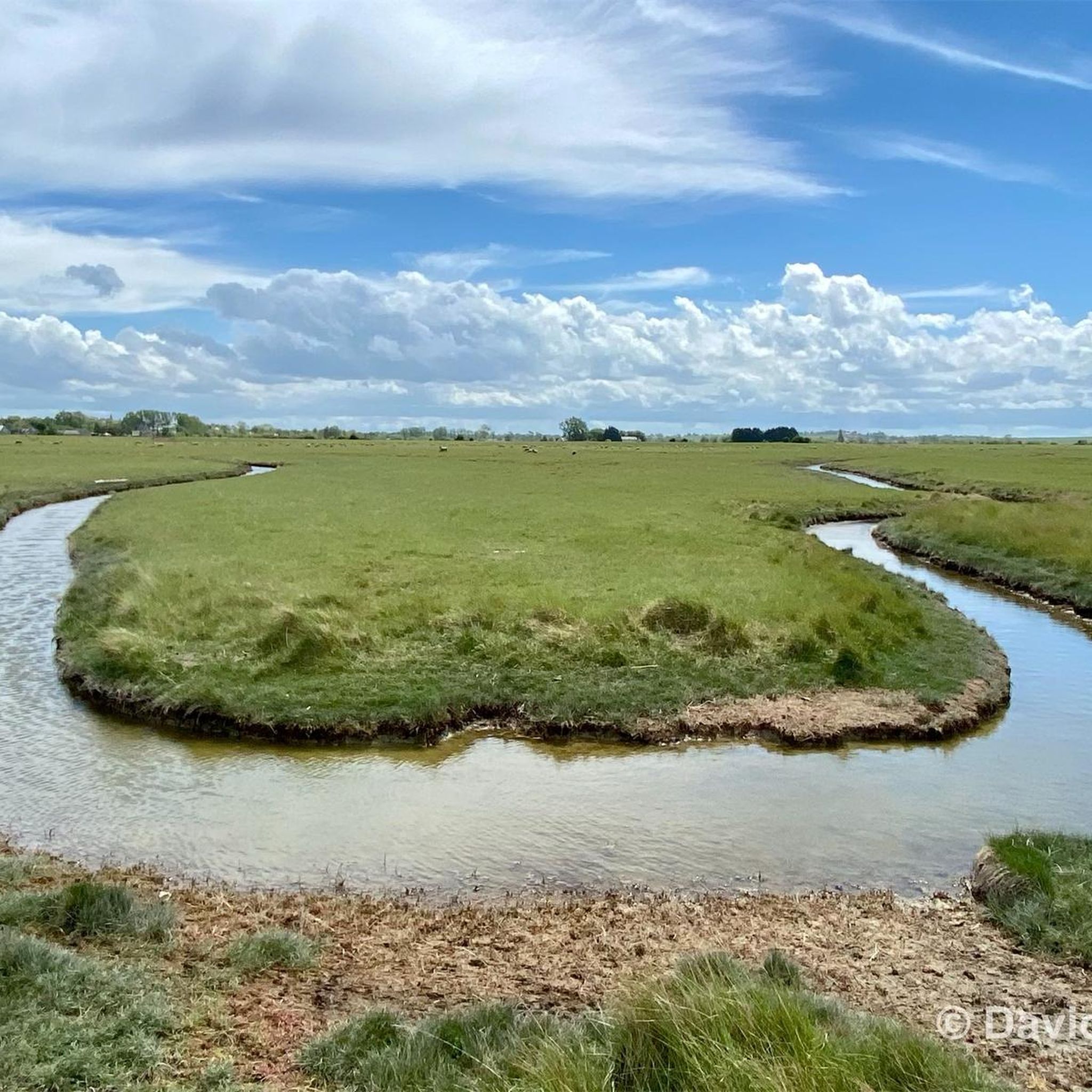
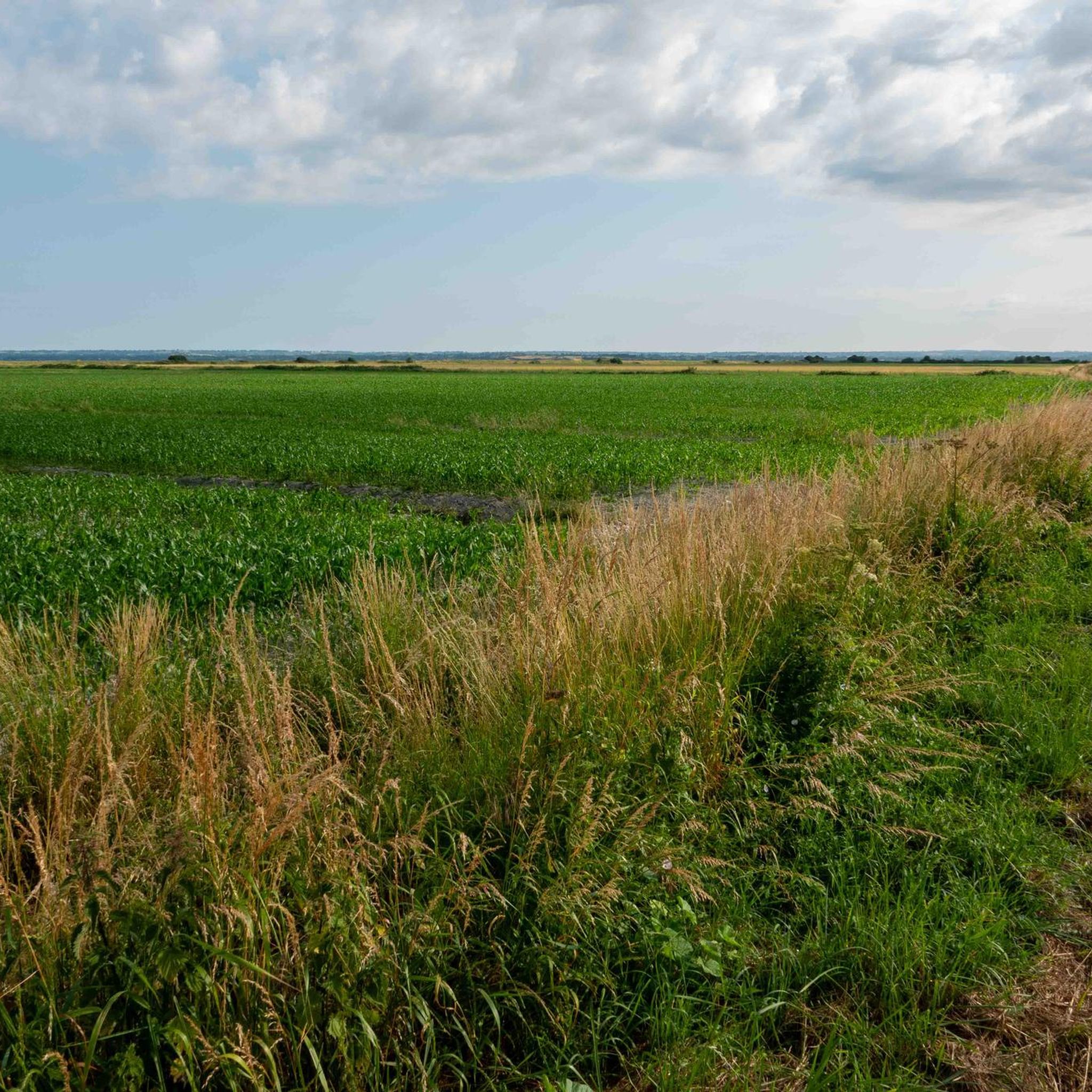
The terrain around Tanis is generally flat, characterized by coastal areas, riverbanks, and agricultural landscapes. Routes often follow dikes and rural roads, providing a mix of paved and unpaved paths with minimal elevation changes, making it accessible for most riders.
Are there easy gravel bike trails suitable for beginners or families?
Yes, Tanis offers several easy gravel bike trails perfect for beginners and families. For instance, The Couesnon at Beauvoir – Pont d'Orson loop from Beauvoir is an easy 11.2-mile path that follows the Couesnon river, providing a flat and scenic ride.
What kind of scenic views or landmarks can I expect to see on these routes?
Many routes offer extensive views of the coast and the bay, including iconic sights like Mont Saint-Michel. You can also enjoy riverine landscapes along The Couesnon at Beauvoir and various viewpoints such as Beautiful view of Mont-Saint-Michel (Barrage) and Grouin du Sud.
Are the gravel bike trails around Tanis generally circular?
Many of the gravel bike trails in the Tanis area are designed as loops, allowing you to start and finish at the same point. Examples include the popular Moulin de la Saline – View of Cancale and Its Harbor loop from Pontorson-Mont-Saint-Michel and The dam on the Couesnon – The Couesnon at Beauvoir loop from Beauvoir.
What do other gravel bikers enjoy the most about gravel biking in Tanis?
The area is highly rated by the komoot community, with an average score of 4.75 stars from over 50 reviews. Riders often praise the extensive coastal and river views, the generally flat and accessible terrain, and the opportunity to see landmarks like Mont Saint-Michel.
Is it possible to reach the gravel biking trailheads by public transport?
While specific public transport options to every trailhead may vary, towns like Pontorson, which serve as starting points for routes such as The Couesnon at Beauvoir – Couesnon dike loop from Pontorson, are generally accessible by regional transport. It's advisable to check local bus or train schedules for connections to your chosen starting point.
Are there any gravel bike routes that offer views of Mont Saint-Michel?
Absolutely! Several routes provide stunning views of Mont Saint-Michel. A local favorite is The Couesnon at Beauvoir – View of Mont Saint-Michel loop from Beauvoir, a 23.3-mile trail that leads through riverine landscapes with direct views of the iconic abbey.
What is the best time of year for gravel biking around Tanis?
Given the coastal and riverine nature of the routes, spring and autumn generally offer pleasant temperatures and fewer crowds. Summer can also be enjoyable, but be prepared for more visitors, especially around popular attractions like Mont Saint-Michel. Winter rides are possible, but check weather conditions for wind and rain.
Are there any specific routes that follow the Couesnon river?
Yes, the Couesnon river is a prominent feature in the Tanis gravel biking landscape. Routes like The Couesnon at Beauvoir – Pont d'Orson loop from Beauvoir and The Couesnon at Beauvoir – View of Mont Saint-Michel loop from Beauvoir directly follow its banks, offering flat and scenic rides.
Can I find places to stop for food or drinks along the gravel trails?
While the guide doesn't specify exact locations for cafes or pubs on every route, the trails often pass through or near small towns and villages like Beauvoir and Pontorson, where you can typically find amenities. It's always a good idea to pack some snacks and water, especially for longer rides.
What should I know about parking for gravel biking in Tanis?
Many routes start from towns or villages like Beauvoir and Pontorson, where public parking is usually available. For specific trailheads, look for designated parking areas. It's recommended to check local information for parking availability and regulations at your chosen starting point.
Most popular attractions around Tanis

Get inspired with the komoot mobile app


Explore more
Browse the best Gravel rides in other regions.
