The best running trails around Tanis
4.1
(100)
5,209
runners
179
runs
Jogging around Tanis offers routes through a landscape characterized by flat coastal plains and riverine paths. The region features low elevation gains, making it suitable for various running paces. Many trails provide views of the iconic Mont Saint-Michel and follow the banks of the Couesnon river. This area provides a mix of open spaces and rural scenery for runners.
Best jogging routes around Tanis
- The most popular jogging route is Running loop from Huisnes-sur-Mer, a 10.0 miles (16.1 km)…
Last updated: October 8, 2026
5.0
(2)
41
runners
Moderate run. Good fitness required. Mostly paved surfaces. Suitable for all skill levels.
98
runners
Moderate run. Good fitness required. Mostly paved surfaces. Suitable for all skill levels.

5.0
(1)
14
runners
8.50km
00:54
30m
30m
Moderate run. Good fitness required. Mostly paved surfaces. Suitable for all skill levels.
23
runners
35.0km
03:46
110m
110m
Hard run. Very good fitness required. Mostly paved surfaces. Suitable for all skill levels.
4.7
(3)
5
runners
8.95km
00:56
60m
60m
Moderate run. Good fitness required. Mostly paved surfaces. Suitable for all skill levels.
Get access to more routes and recommendations from other explorers.
Already have an account?
Our route recommendations are based on thousands of hikes, rides, and runs completed by other people on komoot.
Start today with a free account
Your next adventure awaits.

Tips from the Community

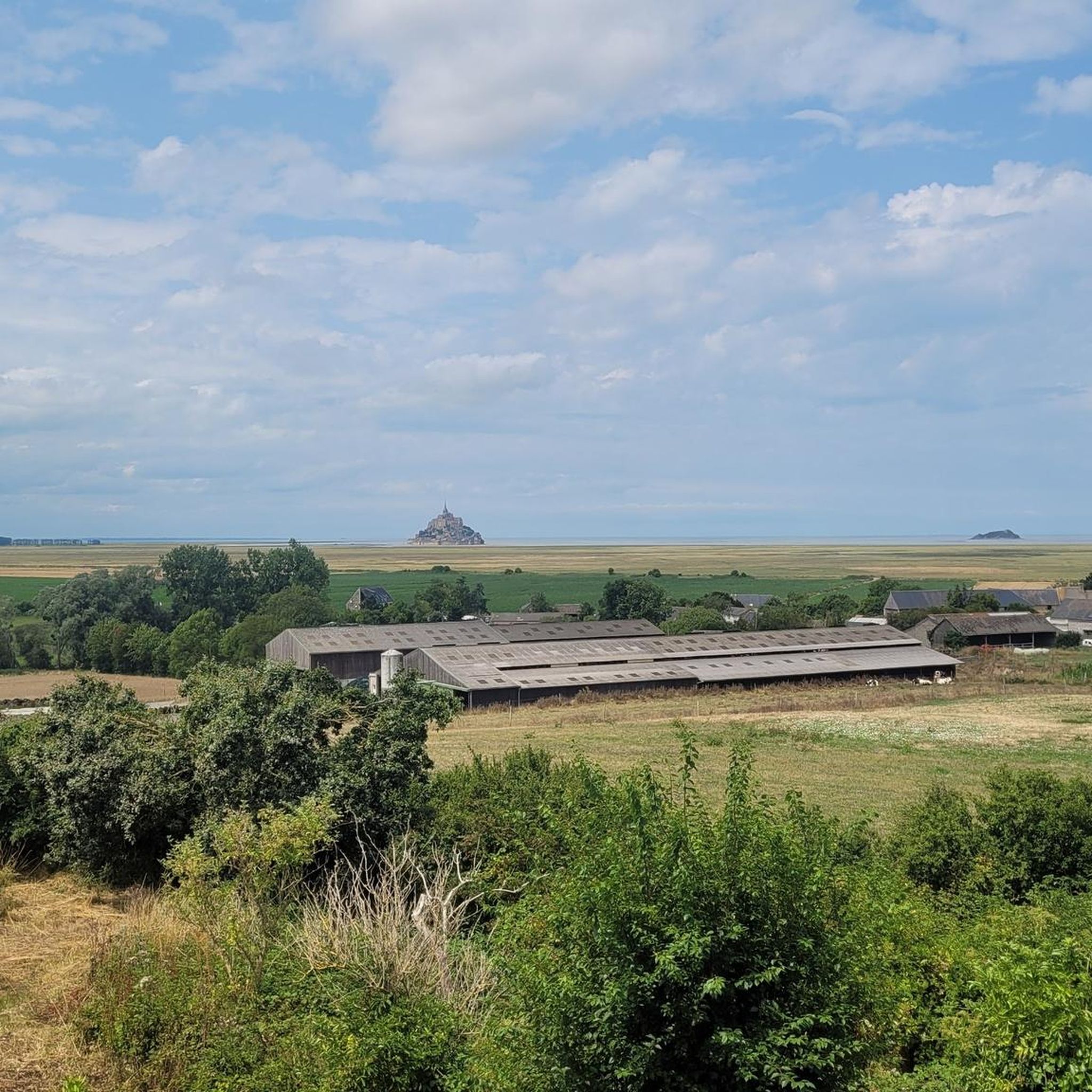
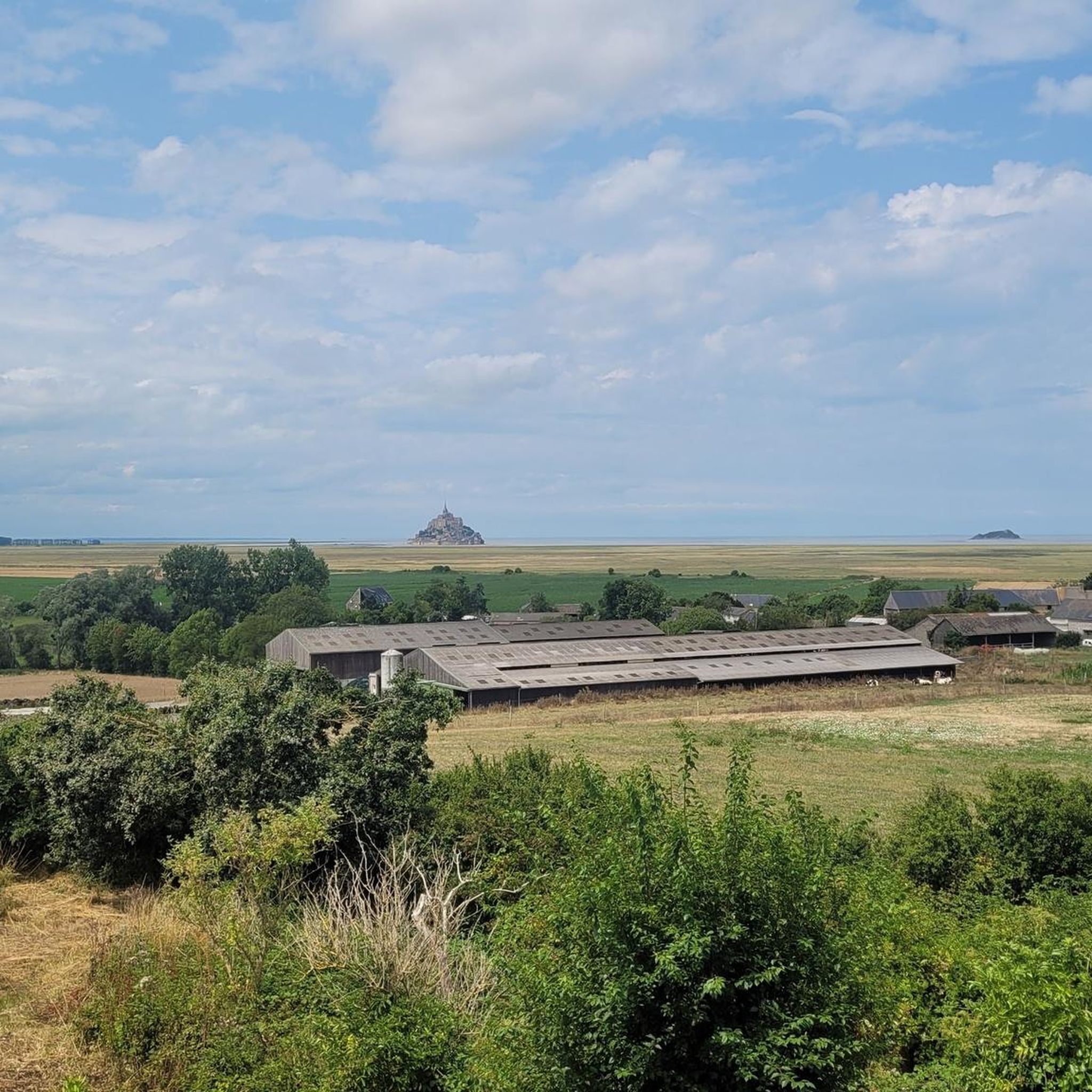
Mont-Saint-Michel is a world-famous rocky island and commune on the border between Normandy and Brittany in France. Crowned by a monumental, medieval Benedictine abbey, this architectural marvel has been a UNESCO World Heritage site since 1979. The bay of the mount is also known for Europe's strongest tides, with a tidal range of up to 14 meters.
2
0

The footpath along the Couesnon to the dam already offers an impressive view of Mont-Saint-Michel. From here, the path with an unobstructed view leads across the salt marshes and the bay, with the landmark of Normandy impressively rising against the wide landscape. Especially in calm weather and with changing light, atmospheric views emerge of Mont-Saint-Michel, the course of the Couesnon river, and the tide-shaped surroundings.
13
0
The Couesnon dam (Barrage du Couesnon) was completed in 2009 and is part of the measures to preserve the bay of Mont-Saint-Michel. The facility regulates the water flow of the Couesnon and supports the natural removal of sediments by the tides. This is intended to counteract the increasing silting up of the bay and preserve the special character of Mont-Saint-Michel as a tidal island. The dam also offers a popular viewpoint with a view of Mont-Saint-Michel and the surrounding salt marshes.
3
0

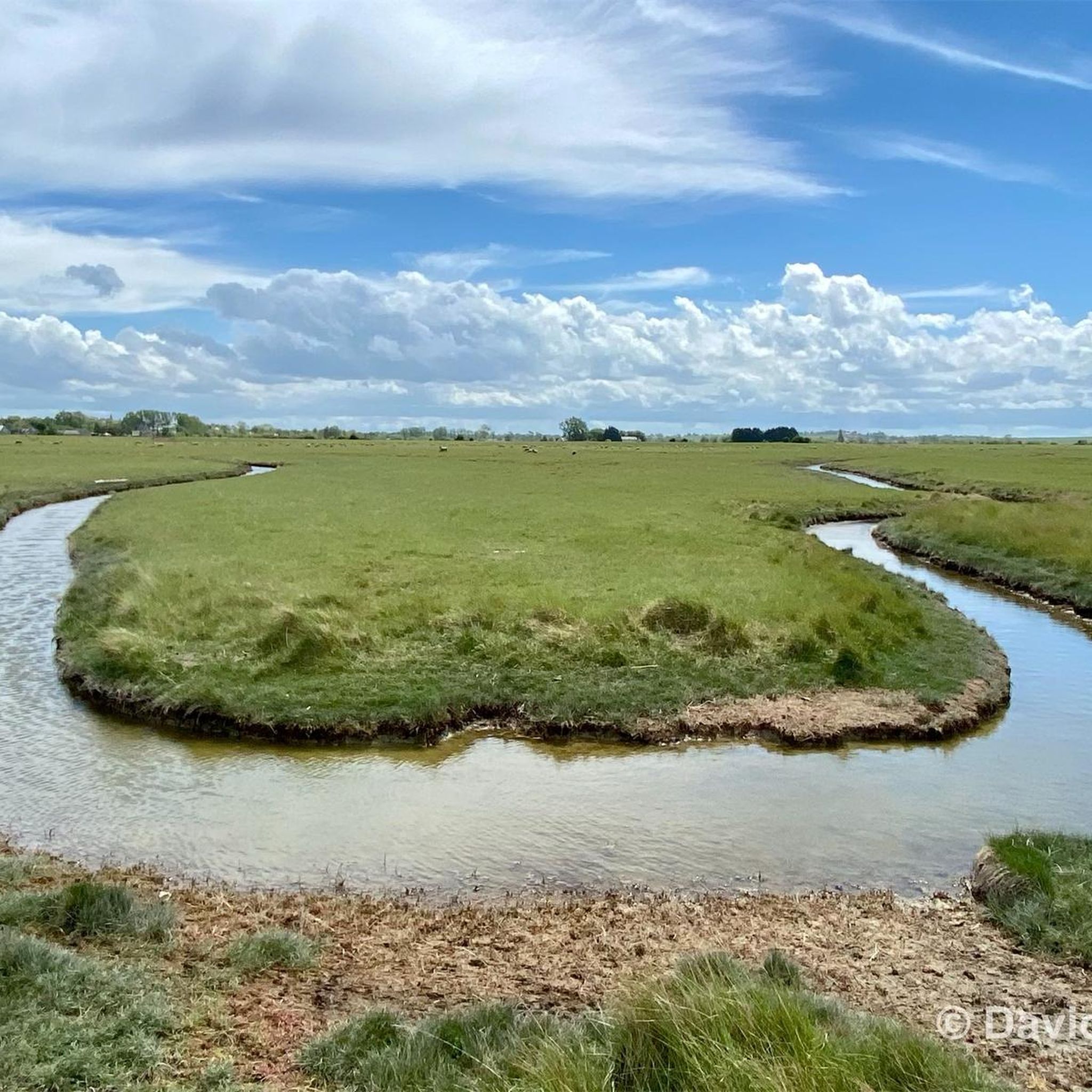
The salt marsh path (* public access is via an unlocked gate) leads through the expansive landscape of the bay and offers a particularly impressive way to experience the famous Klosterberg from a quieter perspective. The paths run through the prés-salés (salt marshes) shaped by the tides, which are crisscrossed by numerous tidal creeks. These small watercourses regularly change their appearance with ebb and flow, creating popular photo opportunities together with the grassy areas and reflections.
33
0
Numerous inlets criss-cross the meadows and channel seawater through the vast terrain at low and high tide. These small watercourses with their reflections and the wide grassy areas also form a popular photo spot and offer impressive motifs, especially with Mont-Saint-Michel in the background.
1
0
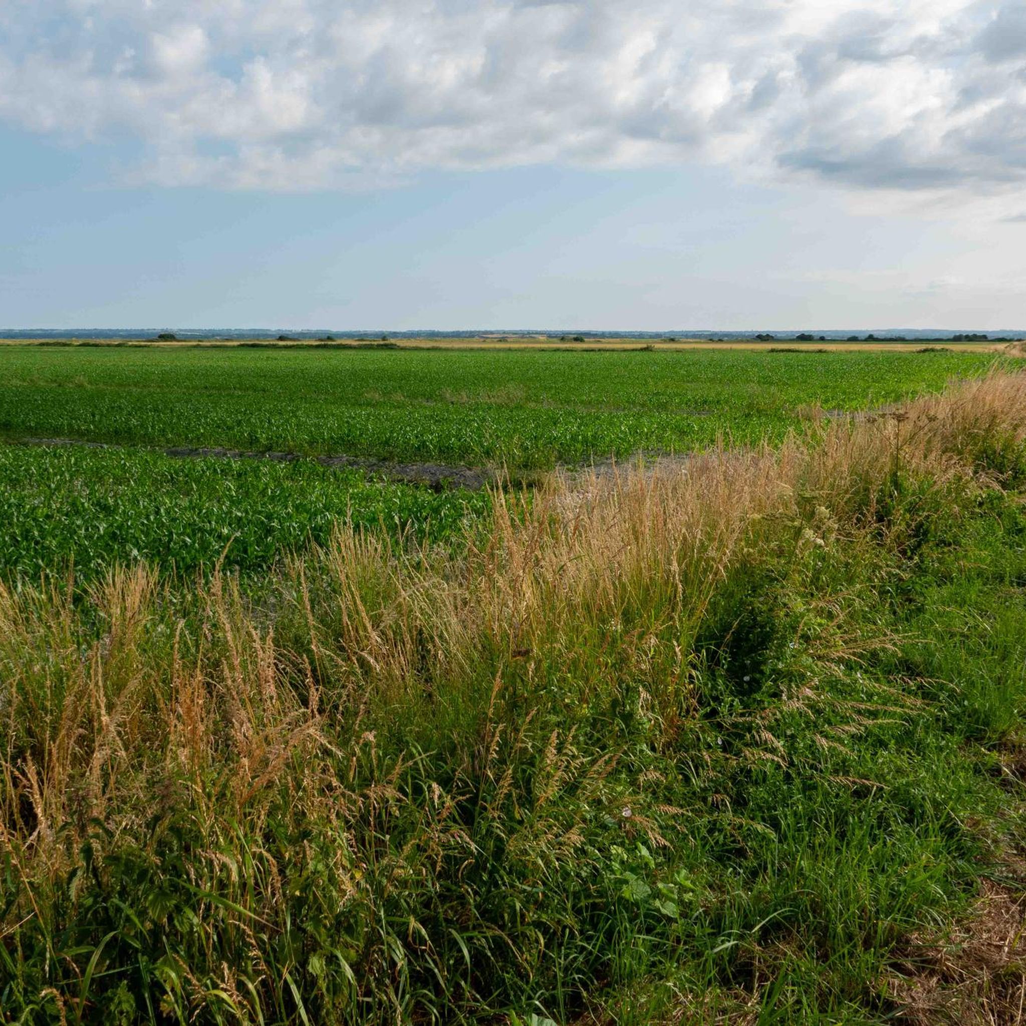
The salt marshes of the Bay of Mont-Saint-Michel shape the unique landscape of Normandy. Regular flooding with seawater creates a special vegetation that is perfectly adapted to the saline conditions. The famous salt marsh sheep (*Prés-salés*), whose meat acquires a special flavor due to their special diet, graze in these meadows. The vast areas are also a valuable habitat for numerous animal and plant species and offer an impressive view of Mont-Saint-Michel at low tide.
1
0

Great view from the top
0
0
Frequently Asked Questions
How many running routes are available in Tanis?
Tanis offers a wide selection of running routes, with over 150 trails available for exploration. These routes cater to various fitness levels, including easy, moderate, and difficult options.
Are there easy running routes suitable for beginners in Tanis?
Yes, Tanis has approximately 24 easy running routes, perfect for beginners or those looking for a relaxed jog. These trails typically feature low elevation gains, making them accessible for all. An example of a moderate route that is relatively flat is The Couesnon at Beauvoir – Pont d'Orson loop from Pontorson.
What kind of scenery can I expect on jogging routes around Tanis?
Jogging routes in Tanis are characterized by flat coastal plains and scenic riverine paths, particularly along the Couesnon river. Many trails offer expansive views of the iconic Mont Saint-Michel and provide a mix of open spaces and rural landscapes.
Are there any circular running trails in Tanis?
Yes, many of the running routes in Tanis are designed as loops, allowing you to start and finish at the same point. For instance, the Mont-Saint-Michel loop from Huisnes-sur-Mer is a popular circular route that takes you through coastal plains.
What are some notable landmarks or attractions I can see while running in Tanis?
While jogging in Tanis, you'll often encounter breathtaking views of Mont Saint-Michel. Other points of interest include the scenic The Couesnon at Beauvoir and various viewpoints like Beautiful view of Mont-Saint-Michel (Barrage) and Grouin du Sud, offering stunning vistas of the bay.
How long do the running trails in Tanis typically take to complete?
The duration of running trails in Tanis varies greatly depending on the route's distance and your pace. For example, a moderate route like La Roche Torin – View of Mont Saint-Michel loop from Huisnes-sur-Mer (7.7 km) can take around 48 minutes, while a more challenging 16.1 km route might take closer to 1 hour 45 minutes.
What do other runners say about the trails in Tanis?
The running routes in Tanis are highly regarded by the komoot community, boasting an average score of 4.2 stars from over 70 reviews. Runners frequently praise the region's flat terrain, scenic views of Mont Saint-Michel, and the variety of routes available for different skill levels.
Are there any running routes that offer particularly good viewpoints in Tanis?
Yes, many routes in Tanis are designed to showcase the region's natural beauty. Trails that pass near Beautiful view of Mont-Saint-Michel (Barrage) or Grouin du Sud are excellent choices for runners seeking panoramic vistas of the bay and Mont Saint-Michel.
Can I find running routes that follow river paths in Tanis?
Absolutely. The region is known for its riverine paths, particularly along the Couesnon river. The The Couesnon at Beauvoir – Pont d'Orson loop from Pontorson is a prime example, offering a flat and scenic running experience right by the water.
Are there any challenging running routes for experienced runners in Tanis?
Yes, for experienced runners seeking a challenge, Tanis offers several difficult routes. The Running loop from Huisnes-sur-Mer is a notable difficult trail, spanning 16.1 km and providing extensive views across the flatlands.
What is the best time of year for jogging in Tanis?
Tanis, with its coastal and riverine landscape, is generally pleasant for jogging during spring and autumn when temperatures are mild. Summer can also be enjoyable, especially during early mornings or late evenings to avoid the warmest parts of the day. Winter jogging is possible, but runners should be prepared for cooler, potentially windy conditions.
Most popular attractions around Tanis

Get inspired with the komoot mobile app


Explore more
Browse the best Running Trails & Routes in other regions.
