Saint-Étienne-De-Tinée
Saint-Étienne-De-Tinée
The best gravel rides around Saint-Étienne-De-Tinée
5.0
(6)
102
riders
11
rides
Gravel biking around Saint-Étienne-De-Tinée offers routes through diverse alpine landscapes in the Alpes-Maritimes department. The region is characterized by high mountain passes, the Tinée River valley, and access to Mercantour National Park. Terrain includes a mix of paved and unpaved surfaces, with significant elevation changes.
Best gravel bike trails around Saint-Étienne-De-Tinée
- The most popular gravel bike trail is Col du Raton – Raton loop from Valberg, a 15.7 miles (25.3 km) trail that takes 2 hours 21 minutes to…
Last updated: May 21, 2026
5.0
(2)
21
riders
25.3km
02:22
630m
630m
Hard gravel ride. Very good fitness required. Mostly paved surfaces. Suitable for all skill levels.
5.0
(1)
27
riders
Hard gravel ride. Very good fitness required. Mostly paved surfaces. Suitable for all skill levels.

Sign up for free
5.0
(2)
14
riders
39.8km
03:26
1,000m
1,010m
Hard gravel ride. Very good fitness required. Mostly paved surfaces. Suitable for all skill levels.
6
riders
26.9km
02:40
1,010m
1,000m
Hard gravel ride. Very good fitness required. Mostly paved surfaces. Suitable for all skill levels.
13
riders
105km
08:50
3,230m
3,230m
Hard gravel ride. Very good fitness required. Mostly paved surfaces. Suitable for all skill levels.
Get access to more routes and recommendations from other explorers.
Sign up for free
Already have an account?
Our route recommendations are based on thousands of hikes, rides, and runs completed by other people on komoot.
Start today with a free account
Your next adventure awaits.
Login or Signup
Popular around Saint-Étienne-De-Tinée

GR 5 – The Europe Trail from the Mediterranean to Germany

Europe Trail (GR 5) – Hike from Nice to Saint-Étienne-de-Tinée

Route des Grandes Alpes

Cycling from the Italian Riviera to the French Alps – Alpine Arc (part 1)

Hike from Saint-Étienne-de-Tinée to Briançon – Europe Trail (GR 5)

France — two weeks of hiking at its best!
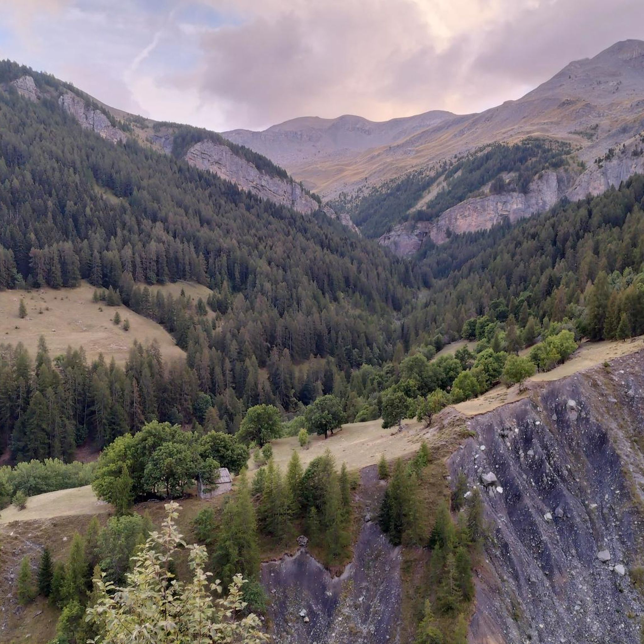
Hiking around Saint-Étienne-De-Tinée
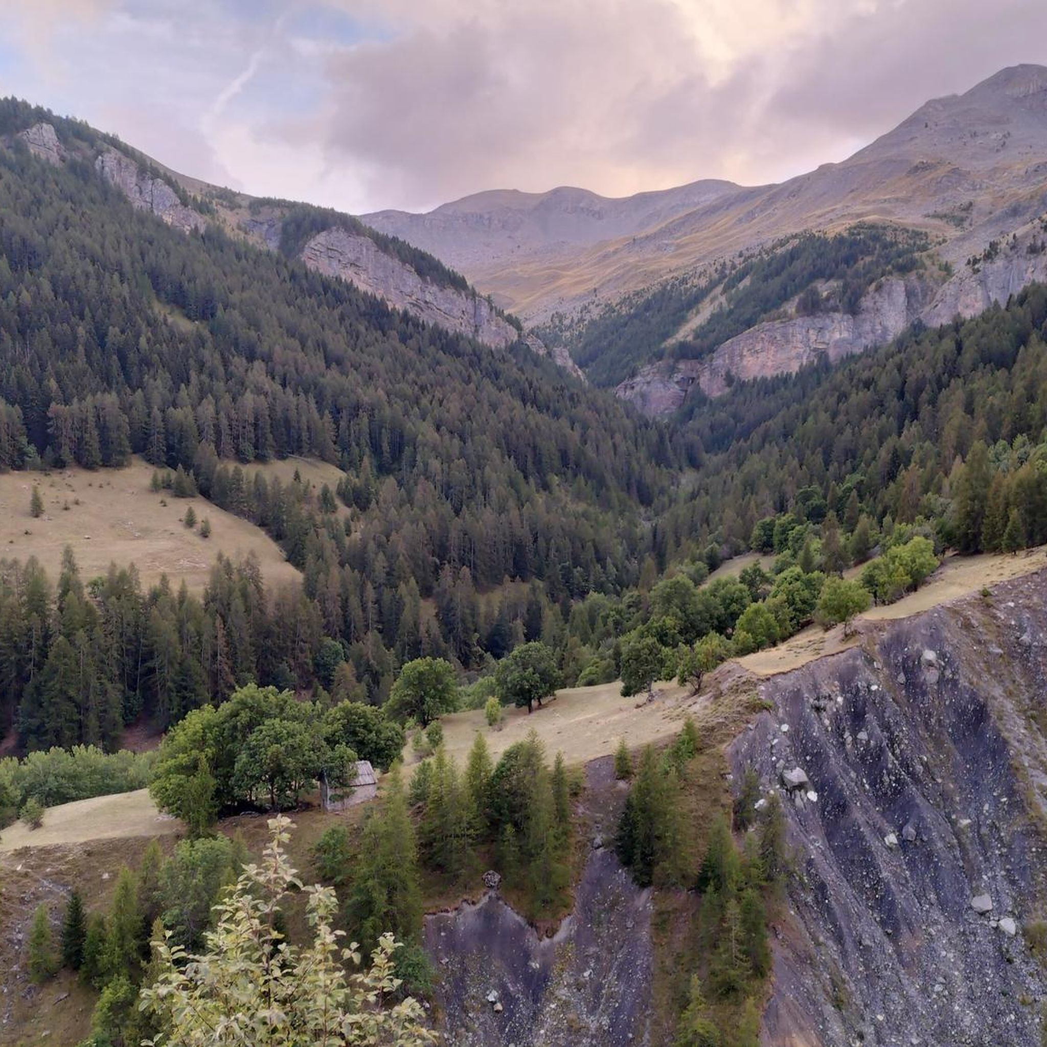
Road Cycling Routes around Saint-Étienne-De-Tinée
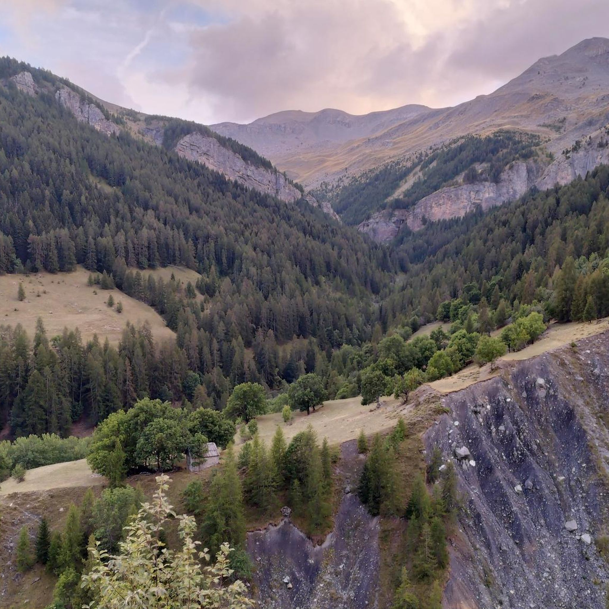
MTB Trails around Saint-Étienne-De-Tinée
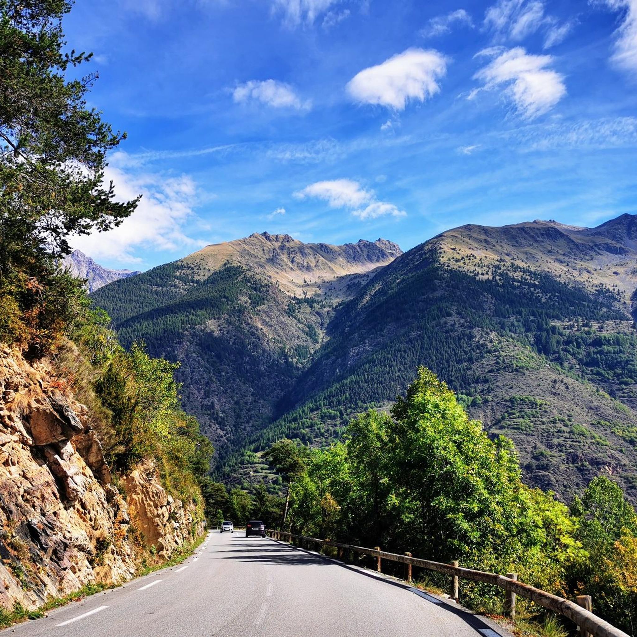
Cycling around Saint-Étienne-De-Tinée
Other adventures around Saint-Étienne-De-Tinée


Tips from the Community

Please note, I visited on October 12, 2025 and the fountain wasn't working! Perhaps it only works in the summer?
0
0

A splendid isolated pass accessible from Saint-Dalmas-le-Selvage, it allows an off-road ascent of the Bonette, passing through the sublime valleys of Sestrière and Sagnas to the pass itself, then via a beautiful gravel track under the north side of the Cime de la Bonette which joins the departmental road towards Jausiers, about two kilometers below the summit.
0
0
If there were a ranking of the most beautiful, undiscovered Alpine passes in the cycling world, the Moutière would certainly be a contender. Starting from Saint-Dalmas-le-Selvage, the climb through the valleys of Sestrière and Sagnas is simply sublime.
0
0
One of the most beautiful ways to reach the Bonette Pass from Saint Delmas le Selvage via the Col de la Moutière. Wild and isolated, the surroundings are breathtaking. However, be prepared for a long and difficult climb.
0
0

The Col de Sainte-Anne is a pass at an altitude of 425 meters in the French department of Bouches-du-Rhône.
0
0
The Col de la Couillole is a mountain pass in the Massif du Mercantour-Argentera of the French Alps, situated at an altitude of 1,678 m (5,505 ft) in the Alpes-Maritimes department, France. The road connection is open for six to seven months of the year, allowing travel between the Cians gorges in the west and the Tinée valley in the east.
0
0
The Col de la Couillole is a mountain pass in the Massif du Mercantour-Argentera of the French Alps, situated at an altitude of 1,678 m (5,505 ft) in the Alpes-Maritimes department, France. The road connection is open for six to seven months of the year, allowing travel between the Cians gorges in the west and the Tinée valley in the east.
0
0

Another way to climb to the Col de la Bonette... with added peace and quiet!
1
0
Frequently Asked Questions
How many gravel bike trails are available around Saint-Étienne-De-Tinée?
There are 11 gravel bike routes available around Saint-Étienne-De-Tinée. These trails are generally challenging, featuring significant elevation changes and a mix of paved and unpaved surfaces, making them ideal for experienced gravel bikers.
What is the general difficulty level of gravel biking routes in Saint-Étienne-De-Tinée?
All 11 gravel biking routes in Saint-Étienne-De-Tinée are classified as difficult. They involve challenging climbs and descents through high mountain passes and river valleys, requiring very good fitness levels. For example, the View of the Gorges du Var – Col de la Couillole loop from Valberg covers over 100 km with more than 3,200 meters of elevation gain.
Are there any beginner-friendly gravel bike trails in Saint-Étienne-De-Tinée?
Based on the available routes, all gravel bike trails around Saint-Étienne-De-Tinée are categorized as difficult. There are no routes specifically listed as easy or moderate, indicating that the area is best suited for gravel bikers with good to very good fitness and experience with challenging terrain.
What natural features can I expect to see along the gravel bike trails?
Gravel bike trails in Saint-Étienne-De-Tinée offer diverse alpine landscapes. You'll encounter the scenic Tinée River valley, pine and larch forests, and majestic high mountain passes. Some routes, like the Gravel track Col de la Bonette – The Waterfall - Torrent de Vens loop from Saint-Étienne-de-Tinée, even pass by beautiful waterfalls.
Are there any specific viewpoints or landmarks accessible by gravel bike?
Yes, many routes offer breathtaking views. You can access high mountain passes like the Col de la Bonette, which is one of Europe's highest paved roads, offering panoramic vistas. The Bonette Summit itself provides 360-degree views. Other passes like Col Tesina also offer stunning scenery.
Can I find circular gravel bike routes in the area?
Yes, several gravel bike routes around Saint-Étienne-De-Tinée are circular. Examples include the Col du Raton – Raton loop from Valberg and the Col de la Couillole – Col de Sainte-Anne loop from Valberg. These loops allow you to start and finish in the same location, offering varied scenery along the way.
What is the best season for gravel biking in Saint-Étienne-De-Tinée?
The best season for gravel biking in Saint-Étienne-De-Tinée is typically from late spring to early autumn (June to September). During these months, the high mountain passes are generally clear of snow, and the weather is more stable, offering ideal conditions for exploring the challenging terrain. Winter conditions can make many routes inaccessible due to snow and ice.
Are there any routes that pass by lakes or mountain huts?
Yes, the region features magnificent high-altitude lakes and mountain huts. While not all gravel routes pass directly by them, some trails offer access to areas where you can find these features. For instance, the The Demandols cow sheds – Estive Lake loop from Saint-Étienne-de-Tinée hints at nearby water features. You can also find highlights like Upper Roburent Lake and various refuges such as Refuge de Vens in the wider area.
What do other gravel bikers enjoy the most about gravel biking in Saint-Étienne-De-Tinée?
The gravel biking experience in Saint-Étienne-De-Tinée is highly rated by the komoot community, with an average score of 5.0 stars from over 6 reviews. Riders often praise the challenging nature of the routes, the stunning alpine scenery, and the sense of adventure offered by the high mountain passes and diverse terrain.
Is Saint-Étienne-De-Tinée a good destination for family-friendly gravel biking?
Given that all 11 gravel biking routes in Saint-Étienne-De-Tinée are classified as difficult, the area is not typically recommended for beginner or family-friendly gravel biking. The significant elevation gains and challenging terrain require a good level of fitness and experience, making it more suitable for advanced riders.
Are there any historical sites or cultural landmarks along the gravel routes?
While the primary focus of these gravel routes is natural beauty, the region does have historical elements. For example, the Camp des Fourches military camp is a historical site located near some of the high mountain passes. The village of Saint-Étienne-De-Tinée itself also boasts a rich heritage with Baroque churches and chapels.
What are the longest gravel bike routes available?
Among the available routes, the View of the Gorges du Var – Col de la Couillole loop from Valberg is the longest, spanning over 104 kilometers with more than 3,200 meters of elevation gain. Another significant route is the Gravel track Col de la Bonette – The Waterfall - Torrent de Vens loop from Saint-Étienne-de-Tinée, which is nearly 57 kilometers long.
Most popular routes around Saint-Étienne-De-Tinée
Most popular attractions around Saint-Étienne-De-Tinée

Get inspired with the komoot mobile app


Explore more
Browse the best Gravel rides in other regions.
