The best road cycling routes around Saint-Étienne-De-Tinée
4.6
(127)
7,311
riders
11
rides
Road cycling routes around Saint-Étienne-De-Tinée traverse an alpine landscape situated at the entrance to the Mercantour National Park. The region features challenging mountain passes and the dramatic Tinée Valley, which is characterized by high-altitude fir, spruce, and larch forests transitioning to deciduous trees as the valley descends. The terrain includes significant elevation gains, carved by the Tinée river through gorges.
Best road cycling routes around Saint-Étienne-De-Tinée
- The most popular road cycling route is Col de la Bonette both sides -…
Last updated: August 17, 2026
4.8
(19)
512
riders
95.9km
06:25
3,180m
3,180m
Hard road ride. Very good fitness required. Mostly well-paved surfaces and easy to ride.
5.0
(15)
799
riders
66.6km
04:23
2,140m
2,130m
Hard road ride. Very good fitness required. Mostly well-paved surfaces and easy to ride.

Sign up for free
4.2
(5)
305
riders
124km
08:28
3,710m
3,710m
Hard road ride. Very good fitness required. Some segments of this route may be unpaved and difficult to ride.
48
riders
52.6km
03:35
1,790m
1,790m
Hard road ride. Very good fitness required. Mostly well-paved surfaces and easy to ride.
4.5
(2)
94
riders
87.9km
05:04
2,080m
2,080m
Hard road ride. Very good fitness required. Mostly well-paved surfaces and easy to ride.
Get access to more routes and recommendations from other explorers.
Sign up for free
Already have an account?
Our route recommendations are based on thousands of hikes, rides, and runs completed by other people on komoot.
Start today with a free account
Your next adventure awaits.
Login or Signup
Popular around Saint-Étienne-De-Tinée

GR 5 – The Europe Trail from the Mediterranean to Germany

Europe Trail (GR 5) – Hike from Nice to Saint-Étienne-de-Tinée

Route des Grandes Alpes

Cycling from the Italian Riviera to the French Alps – Alpine Arc (part 1)

Hike from Saint-Étienne-de-Tinée to Briançon – Europe Trail (GR 5)

France — two weeks of hiking at its best!
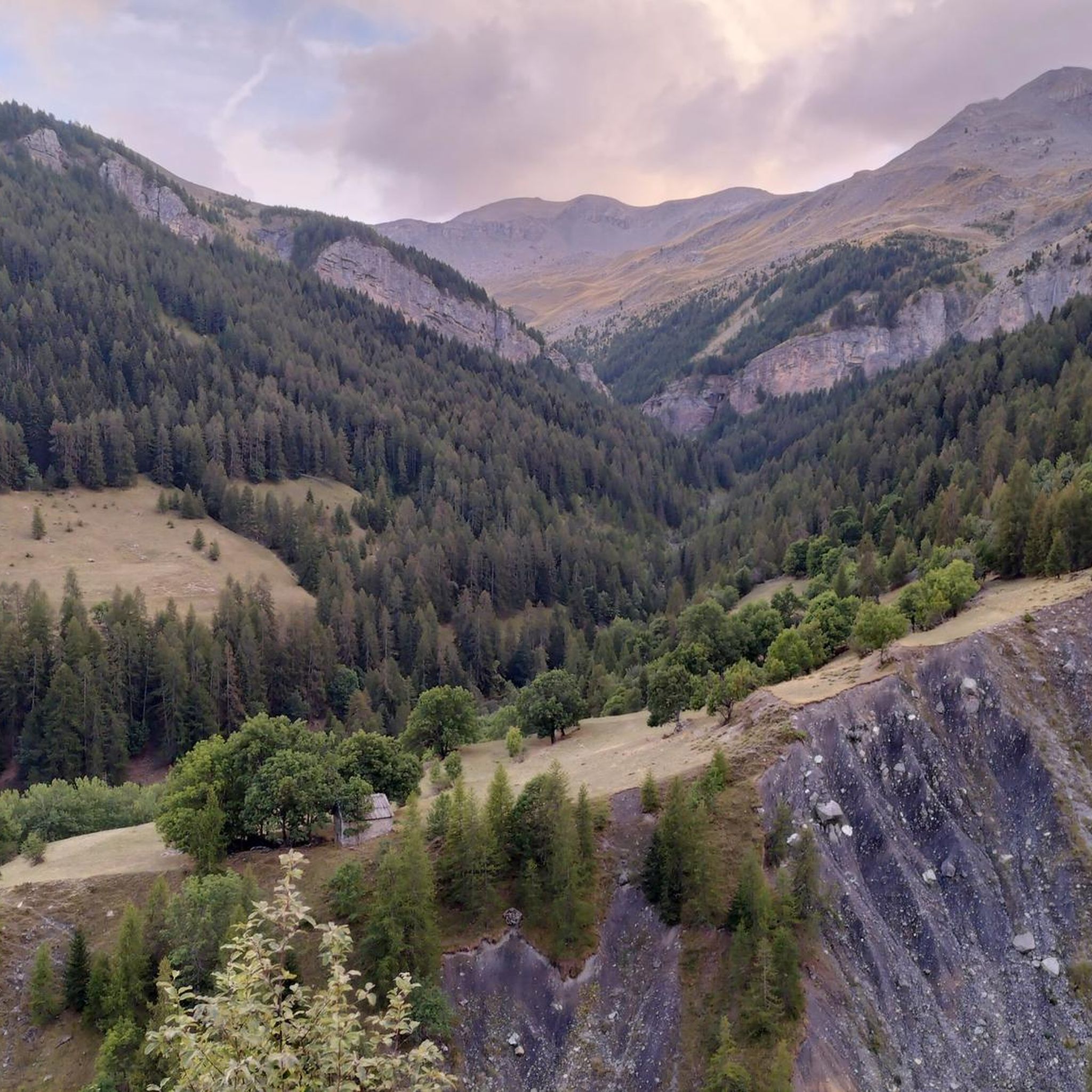
Hiking around Saint-Étienne-De-Tinée
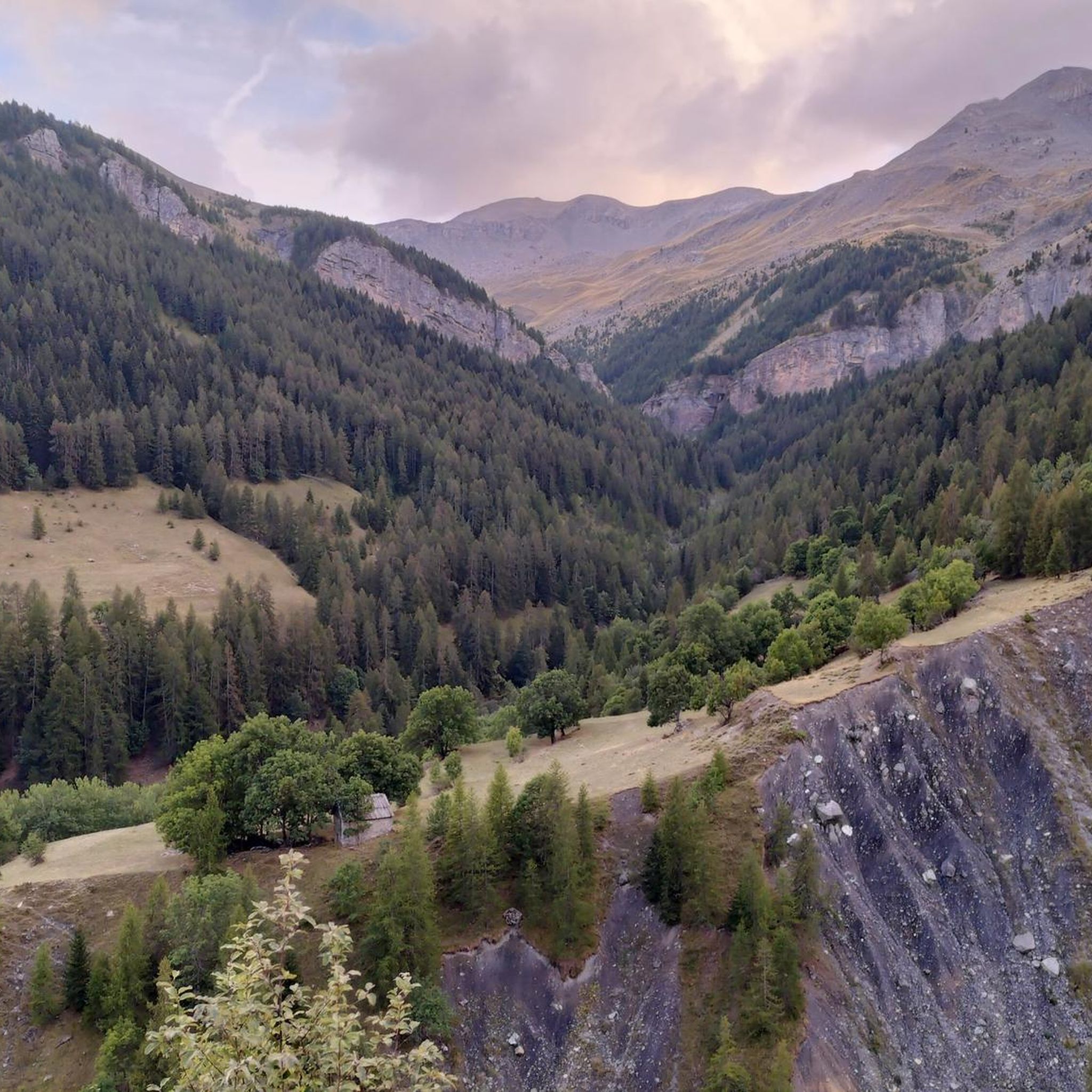
MTB Trails around Saint-Étienne-De-Tinée
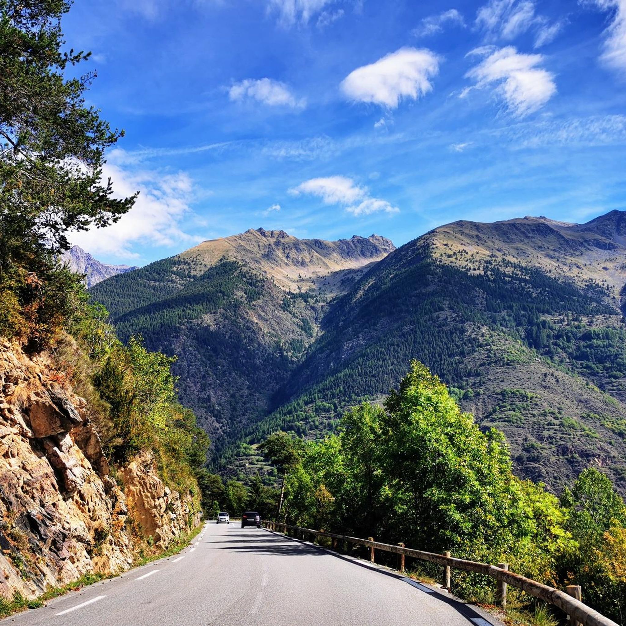
Cycling around Saint-Étienne-De-Tinée
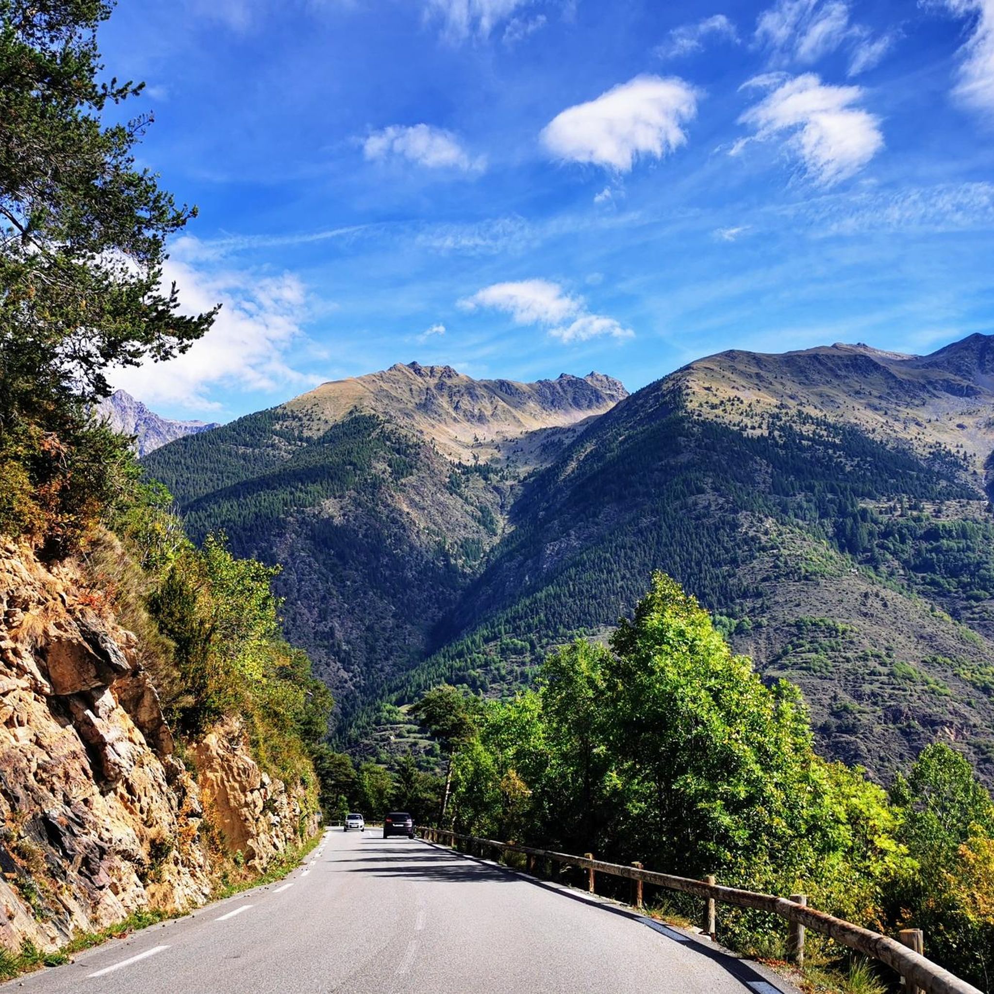
Running Trails around Saint-Étienne-De-Tinée
Other adventures around Saint-Étienne-De-Tinée


Tips from the Community

Leisurely place at the beginning of the route to Mercantour National Park
0
0

I rode up to the Col de Moutiere from Saint Etienne via Saint Dalmas, and then took the 3km of gravel road link to the Col de la Bonette. I returned to Saint Etienne via the more classic D64. It makes for a much quieter, wilder and steeper ascent, with a better (but busier) road surface and more gradual decline for the D64 descent. Also this way it's a loop and you see more of the incredible scenery. The 3km gravel section is very doable with my moutain bike (i would rate it as a 'blue'). I didnt need to carry or push the bike even though some parts were boken up by small water crossings. I was overtaken by a motorbike at one point. Be careful of the weather here, especially the potentially violent afternoon thunderstorms. There is no shelter nearby
0
0

You can have a drink and enjoy some snacks there. But only in the summer. In winter the pass is closed.
0
0

A TRUE GATEWAY TO WILD YET TAMED NATURE AND MAJESTIC MOUNTAIN PASSES
0
0

If there were a ranking of the most beautiful, undiscovered Alpine passes in the cycling world, the Moutière would certainly be a contender. Starting from Saint-Dalmas-le-Selvage, the climb through the valleys of Sestrière and Sagnas is simply sublime.
1
0

A manageable town with a small market square surrounded by bakeries, grocery stores and restaurants.
0
0

roadside waterfalls visible on two hairpin bends
0
0

This is a little gem, it alone gives a fantastic taste to the climb. Inside the village there is a hand-cranked fountain with very fresh water. Take a break for a few minutes and enjoy this medieval village clinging to the mountain.
0
0
Frequently Asked Questions
What kind of terrain can I expect on road cycling routes around Saint-Étienne-De-Tinée?
Road cycling around Saint-Étienne-De-Tinée is characterized by challenging alpine landscapes, significant elevation gains, and high mountain passes. The routes often traverse the dramatic Tinée Valley, with scenery transitioning from fir and larch forests at higher altitudes to deciduous trees as the valley descends. Expect demanding climbs and long distances, primarily suited for experienced cyclists.
Are there any particularly challenging road cycling routes in the area?
Yes, the region is renowned for its challenging climbs. The most famous is the ascent to the Col de la Bonette, one of Europe's highest roads, which involves over 3,100 meters of elevation gain. Another demanding option is the Barcelonnette – The Waterfall - Torrent de Vens loop from Auron, featuring over 3,600 meters of climbing.
What are some scenic viewpoints or natural features to look out for while cycling?
Cyclists will encounter breathtaking views throughout the region. The Bonette Summit offers panoramic vistas stretching for hundreds of kilometers. The Tinée Valley itself is a natural highlight, carved by the Tinée river through impressive gorges. You can also find the beautiful Pisciai Waterfall along some routes.
Are there any loop routes for road cycling in Saint-Étienne-De-Tinée?
Yes, there are several excellent loop routes. A popular choice is the Col de la Lombarde – Isola Village loop from Saint-Étienne-de-Tinée, which takes you through alpine passes and valleys. Another option is the Camp des Fourches – The Waterfall - Torrent de Vens loop from Auron, offering high mountain scenery.
What is the best time of year for road cycling in Saint-Étienne-De-Tinée?
Given the high-alpine environment and challenging mountain passes, the best time for road cycling is typically from late spring to early autumn (roughly June to September). During these months, the passes are generally clear of snow, and the weather is more favorable for long rides. Winter cycling is not recommended due to snow and ice.
Is Saint-Étienne-De-Tinée part of the Route des Grandes Alpes?
Yes, Saint-Étienne-De-Tinée is indeed part of the iconic Route des Grandes Alpes. This offers cyclists multi-day touring opportunities through some of the most scenic routes in the French Alps, connecting to other valleys and passes like the Col Saint Martin. You can find more information about this route on France Vélo Tourisme.
What amenities are available in Saint-Étienne-De-Tinée for cyclists?
Saint-Étienne-De-Tinée is a charming village with an Italian-inspired architectural heritage. Cyclists can find various amenities here, including cafes, restaurants, and accommodation options. It serves as a convenient base for exploring the surrounding road cycling routes.
What do other road cyclists enjoy most about the routes in Saint-Étienne-De-Tinée?
The road cycling routes in Saint-Étienne-De-Tinée are highly rated by the komoot community, with an average score of 4.6 stars from over 100 reviews. Cyclists often praise the challenging climbs, the stunning alpine scenery, and the sense of accomplishment from tackling Europe's highest roads.
Are there any easy or family-friendly road cycling routes in the area?
The road cycling network around Saint-Étienne-De-Tinée is primarily defined by high mountain passes and significant elevation gains, making most routes difficult. There are a few moderate routes, but generally, the area caters to experienced cyclists seeking challenging climbs rather than easy or family-friendly options.
How many road cycling routes are available around Saint-Étienne-De-Tinée?
There are over 15 road cycling routes available around Saint-Étienne-De-Tinée on komoot, offering a range of challenging options for exploring the alpine landscape and mountain passes.
Can I find parking for my car when starting a road cycling route?
Yes, Saint-Étienne-De-Tinée is a village that serves as a common starting point for many routes. You can typically find parking within the village to begin your cycling adventure.
What is the highest point I can reach on a road bike in this region?
The highest point accessible by road bike in the region is the Bonette Summit, which is part of the Col de la Bonette. Cyclists can reach an altitude of 2,715 meters, with a short, steep loop to the Cime de la Bonette at 2,802 meters for even greater panoramic views.
Most popular routes around Saint-Étienne-De-Tinée
Most popular attractions around Saint-Étienne-De-Tinée

Get inspired with the komoot mobile app


Explore more
Browse the best Road cycling routes in other regions.
