The best gravel rides around Mandray
4.5
(6)
28
riders
18
rides
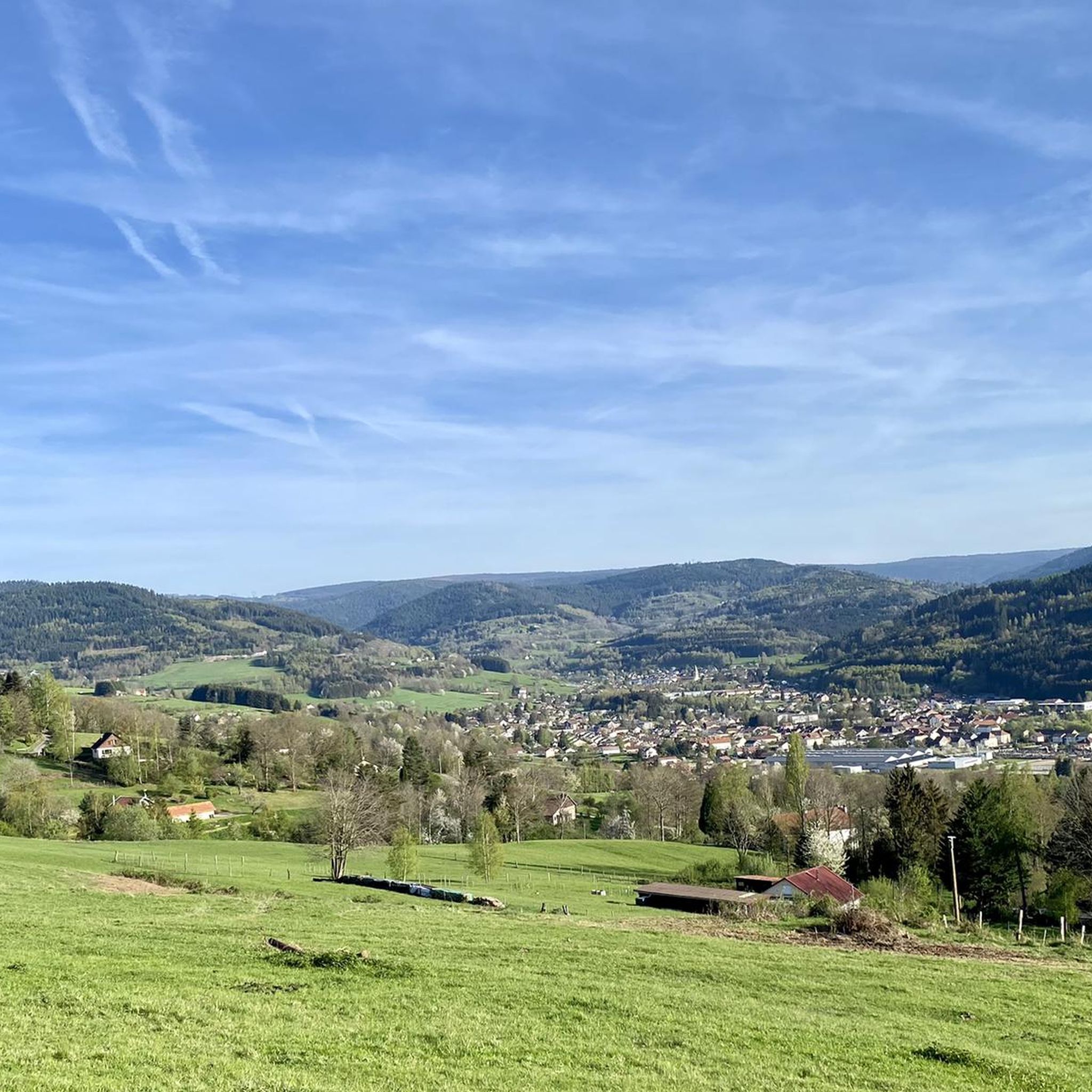
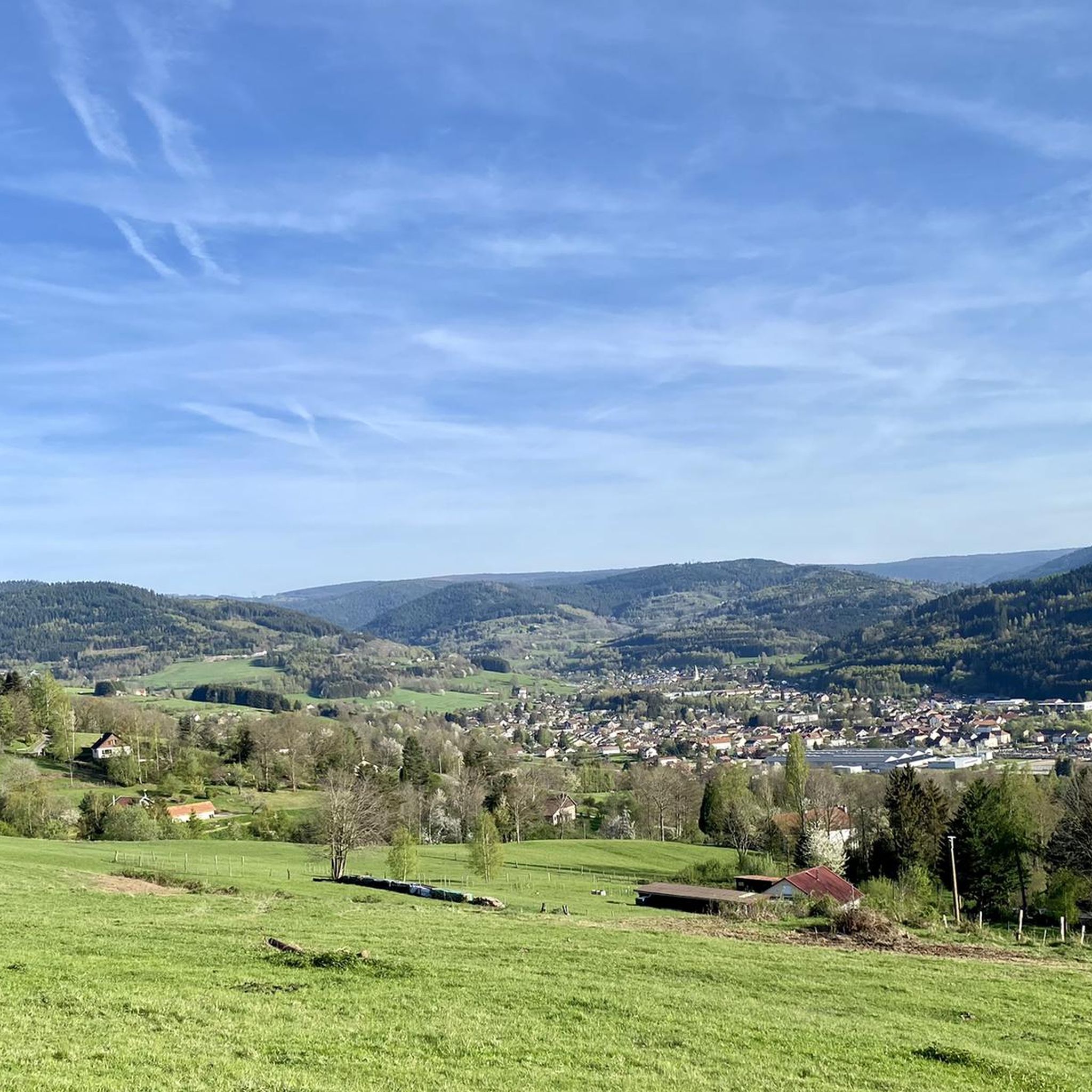
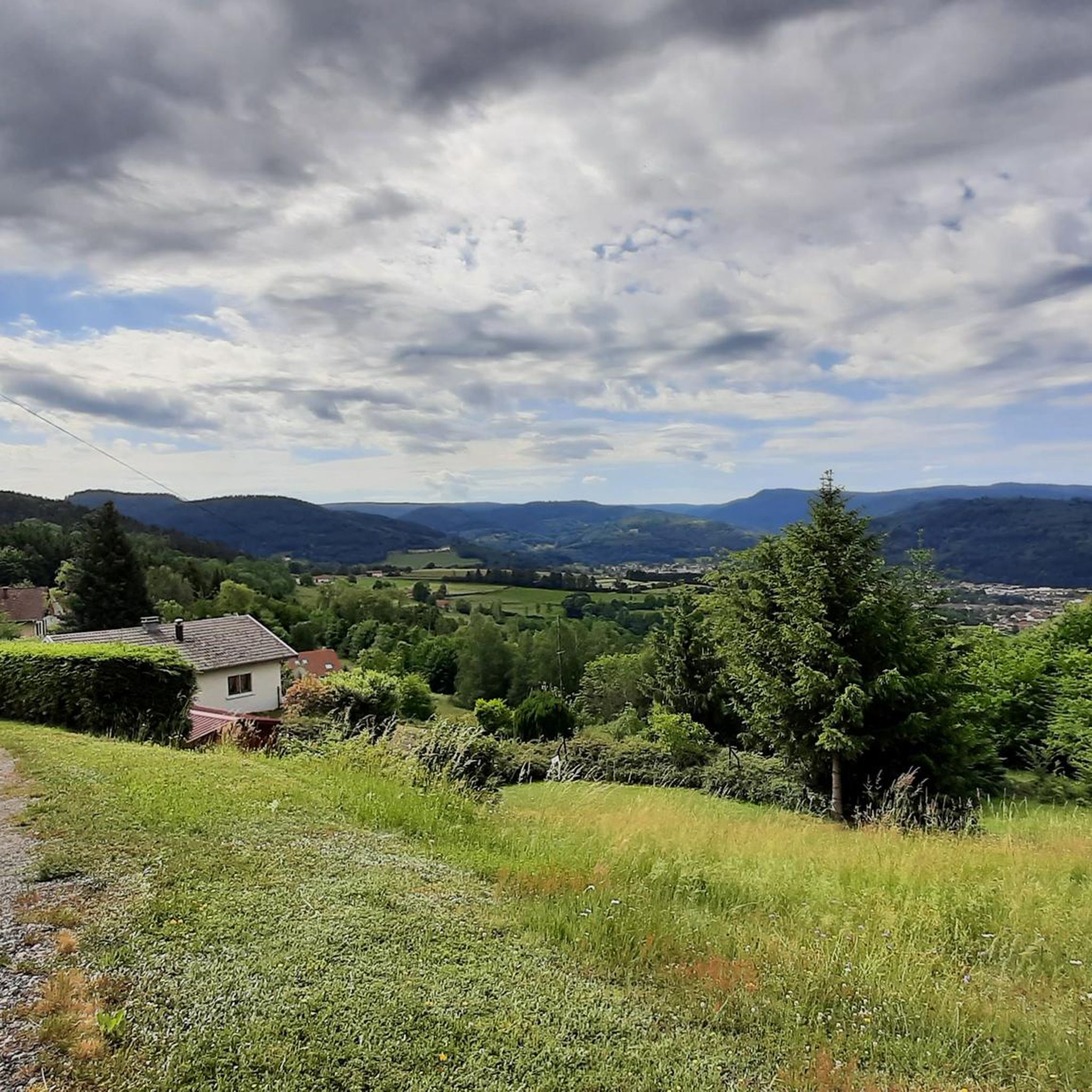
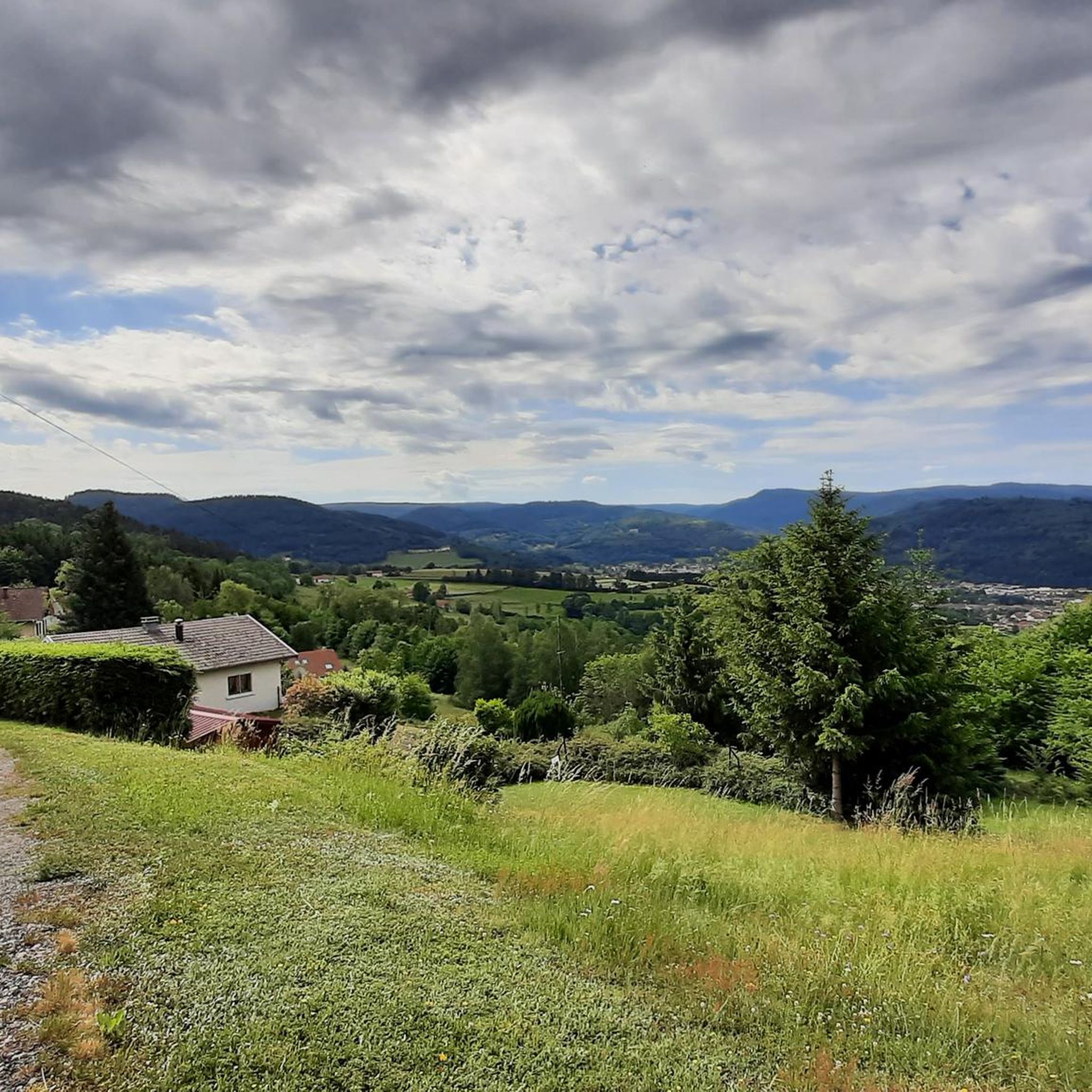
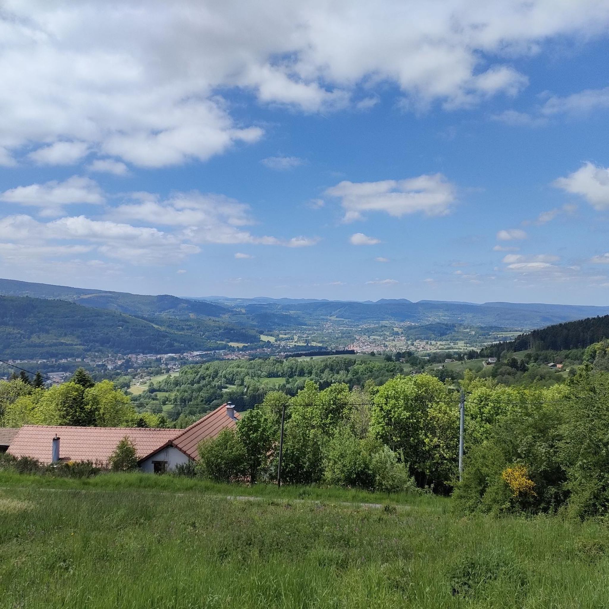
Gravel biking around Mandray offers routes through varied terrain within the Vosges department of France's Grand-Est region. The area is characterized by mountainous landscapes, dense forests, and open passes, with significant elevation changes. Trails frequently traverse cols and provide views of surrounding valleys and lakes, often following forest roads and mountain paths.
Best gravel bike trails around Mandray
- The most popular gravel bike trail is Climb Col de Grosse Pierre – View of Lake Lispach loop from Corcieux, a 40.2 miles (64.7 km) trail that takes 5 hours 17 minutes to complete. This difficult route features a significant climb to Col de Grosse Pierre and offers views of Lake Lispach.
- Another top favourite among local gravel bikers is Bikepark Lac Blanc – Route des Crêtes loop from Col du Bonhomme, a difficult 27.6 miles (44.4 km) path. This route explores the area around Lac Blanc and follows sections of the scenic Route des Crêtes.
- Local gravel bikers also love the Riquewihr Vineyards – Bagenelles Pass loop from Le Bonhomme, a 29.9 miles (48.2 km) trail leading through vineyard landscapes and over Bagenelles Pass, often completed in about 3 hours 43 minutes.
- Gravel biking around Mandray is defined by challenging mountain passes, extensive forest roads, and scenic vineyard areas. The network offers options for different ability levels, including advanced gravel bike routes near Mandray.
- The routes in Mandray are highly rated by the komoot community with an average score of 4.5 stars from over 5 reviews. More than 24 gravel bikers have used komoot to explore Mandray's varied terrain.
Last updated: May 22, 2026
4
riders
48.2km
03:41
1,120m
1,110m
Hard gravel ride. Very good fitness required. Mostly paved surfaces. Suitable for all skill levels.
4.0
(2)
9
riders
31.8km
02:11
480m
480m
Hard gravel ride. Very good fitness required. Mostly paved surfaces. Suitable for all skill levels.

Sign up for free
5
riders
44.3km
03:20
910m
910m
Hard gravel ride. Very good fitness required. Mostly paved surfaces. Suitable for all skill levels.
5.0
(1)
5
riders
22.1km
02:01
630m
630m
Hard gravel ride. Very good fitness required. Mostly paved surfaces. Suitable for all skill levels.
4.0
(1)
2
riders
18.8km
01:25
510m
510m
Hard gravel ride. Very good fitness required. Mostly paved surfaces. Suitable for all skill levels.
Get access to more routes and recommendations from other explorers.
Sign up for free
Already have an account?
Our route recommendations are based on thousands of hikes, rides, and runs completed by other people on komoot.
Start today with a free account
Your next adventure awaits.
Login or Signup

Tips from the Community

The vastness and the quiet leave a beautiful story in your mind.
0
0

yes up there you have a good view
1
0

Aubure, the highest village in Alsace, is located at an altitude of 800 m on a bowl-shaped plateau overlooking the Alsatian plain, at the crossroads of the highest points of three valleys: Sainte-Marie-aux-Mines to the north, Lapoutroie and Kaysersberg to the south, and Ribeauvillé to the east. Protected from the west winds by the Brézouard massif, the village benefits from a unique microclimate. Thanks to this microclimate and its mountain location, Aubure became known from the late 19th century as a health resort for air cures, with hotels and sanatoriums emerging alongside traditional guesthouses. (https://aubure.fr)
0
0

Eyes wander, little hands nibble... everywhere are the most delicious, sweetest grapes ever!
0
0

Vineyards wherever you look - a unique sight.
7
0

The upper city gate, the Dolder (1291), was built at the same time as the first fortifications at the end of the 13th century and served as a defensive tower, watchtower, and bell tower. In Alsatian, "Dolder" means "highest point, peak." At 25 meters high, this tower threatened the enemy with the stark and warlike appearance of its exterior, while the inner facade, facing the city, had delighted the inhabitants since the 16th century with its attractive arrangement of wooden beams and four corbelled vaults. Its first level formed one of the starting points of the patrol path that ran along the top of the ramparts around the city.
9
0

A stunning view of the Kaysersberg Valley—perfect for a short break and to enjoy the picturesque landscape with vineyards and half-timbered houses. A real highlight of this tour!
0
0

The route connects vibrant wine landscapes with historic towns and villages such as Riquewihr, Eguisheim, Kaysersberg, Ribeauvillé, Hunawihr – all with characteristic half-timbered architecture and flower-filled alleys
2
0
Frequently Asked Questions
What is the general difficulty level of gravel bike trails around Mandray?
Gravel biking around Mandray is primarily characterized by challenging routes. Out of 22 available tours, 14 are rated as difficult, and 8 are moderate. Riders should expect significant elevation changes and mountainous terrain.
Are there any beginner-friendly gravel bike trails in Mandray?
While many routes in Mandray are rated as difficult or moderate due to the mountainous landscape and elevation changes, there are no trails specifically categorized as 'easy' in the current selection. Riders new to gravel biking might find the terrain demanding.
What kind of terrain can I expect on gravel bike routes near Mandray?
You can expect varied terrain, including extensive forest roads, mountain paths, and sections traversing cols. Some routes, like the Riquewihr Vineyards – Bagenelles Pass loop from Le Bonhomme, also lead through scenic vineyard areas.
Are there any circular gravel bike routes available in Mandray?
Yes, many of the gravel bike routes around Mandray are loops. Examples include the challenging Climb Col de Grosse Pierre – View of Lake Lispach loop from Corcieux and the Bikepark Lac Blanc – Route des Crêtes loop from Col du Bonhomme.
What are some notable natural attractions or landmarks along the gravel bike trails?
Along the gravel bike trails, you can encounter several natural highlights. The Climb Col de Grosse Pierre – View of Lake Lispach loop from Corcieux offers views of Lac Blanc. Other points of interest in the region include the Tanet–Gazon du Faing Nature Reserve and the Rocky Trail to Rocher Hans.
Are there any routes that feature mountain passes?
Absolutely. The Mandray region is known for its mountain passes. Routes often traverse cols like Bagenelles Pass, which is part of the Riquewihr Vineyards – Bagenelles Pass loop from Le Bonhomme. Other passes in the area include Calvary Pass and Col du Bonhomme.
What do other gravel bikers say about the trails in Mandray?
The gravel bike trails in Mandray are highly regarded by the komoot community, holding an average rating of 4.8 stars from over 6 reviews. Riders often praise the varied terrain, challenging mountain passes, and scenic forest roads.
How long are the gravel bike trails typically around Mandray?
The length of gravel bike trails in Mandray varies significantly. You can find shorter, challenging routes like the Church in Gerbépal – Beautiful view loop from Gerbépal at 18.8 km, up to very long and demanding tours such as the Col de Bramont – La route des crêtes loop from Corcieux, which spans 113.5 km.
Is there parking available near the starting points of these gravel bike routes?
While specific parking details for each route are best checked on the individual tour pages, many routes in the Mandray area, particularly those starting from villages or popular cols, offer designated parking areas. For example, routes originating from Corcieux or Col du Bonhomme typically have parking facilities.
What is the best time of year for gravel biking in Mandray?
The mountainous nature of Mandray means that spring through autumn generally offers the most favorable conditions for gravel biking. Summers are pleasant, while spring and autumn provide cooler temperatures and vibrant scenery. Winter conditions can be challenging due to snow and ice, especially at higher elevations and passes.
Are there any gravel bike routes that follow the 'Route des Crêtes'?
Yes, some routes incorporate sections of the scenic Route des Crêtes. The Bikepark Lac Blanc – Route des Crêtes loop from Col du Bonhomme is one such example, offering stunning views along this famous ridge road.
Can I find cafes or places to stop for refreshments along the gravel bike trails?
Many routes in the Mandray region pass through or near villages and towns where you can find cafes and restaurants. For longer tours, it's advisable to check the specific route details on komoot for points of interest and refreshment stops, especially when traversing more remote forest sections or mountain passes.
Most popular routes around Mandray
Most popular attractions around Mandray

Get inspired with the komoot mobile app


Explore more
Browse the best Gravel rides in other regions.
