The best mountain hikes around Mandray
4.6
(7)
39
hikers
3
hikes
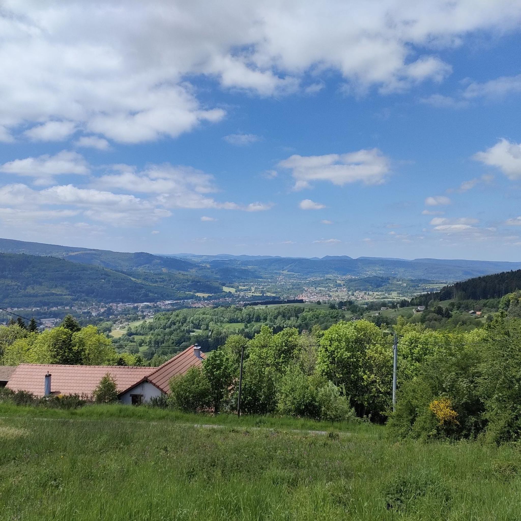
Mountaineering routes around Mandray are situated within the Vosges mountains, a region characterized by rounded peaks, extensive forests, and high-altitude meadows. This area, part of the Ballons des Vosges Regional Nature Park, offers diverse terrain for mountaineers, including picturesque cliffs and rock formations. The landscape features significant geological diversity, with bedrock composed of gneisses, sedimentary rocks, and granites. Glacial lakes and varied woodlands further define the mountaineering environment.
Best mountaineering routes around Mandray
- The most popular mountaineering route is Taubenklangfelsen…
Last updated: May 24, 2026
5.0
(2)
20
hikers
19.8km
07:02
760m
760m
Hard mountaineering route. Very good fitness required. Sure-footedness, sturdy shoes and alpine experience required.
4.8
(4)
14
hikers
5.07km
02:00
210m
210m
Hard mountaineering route. Good fitness required. Sure-footedness, sturdy shoes and alpine experience required.

Sign up for free
4.0
(1)
5
hikers
10.6km
03:55
400m
400m
Hard mountaineering route. Good fitness required. Sure-footedness, sturdy shoes and alpine experience required.
Our route recommendations are based on thousands of hikes, rides, and runs completed by other people on komoot.
Start today with a free account
Your next adventure awaits.
Login or Signup
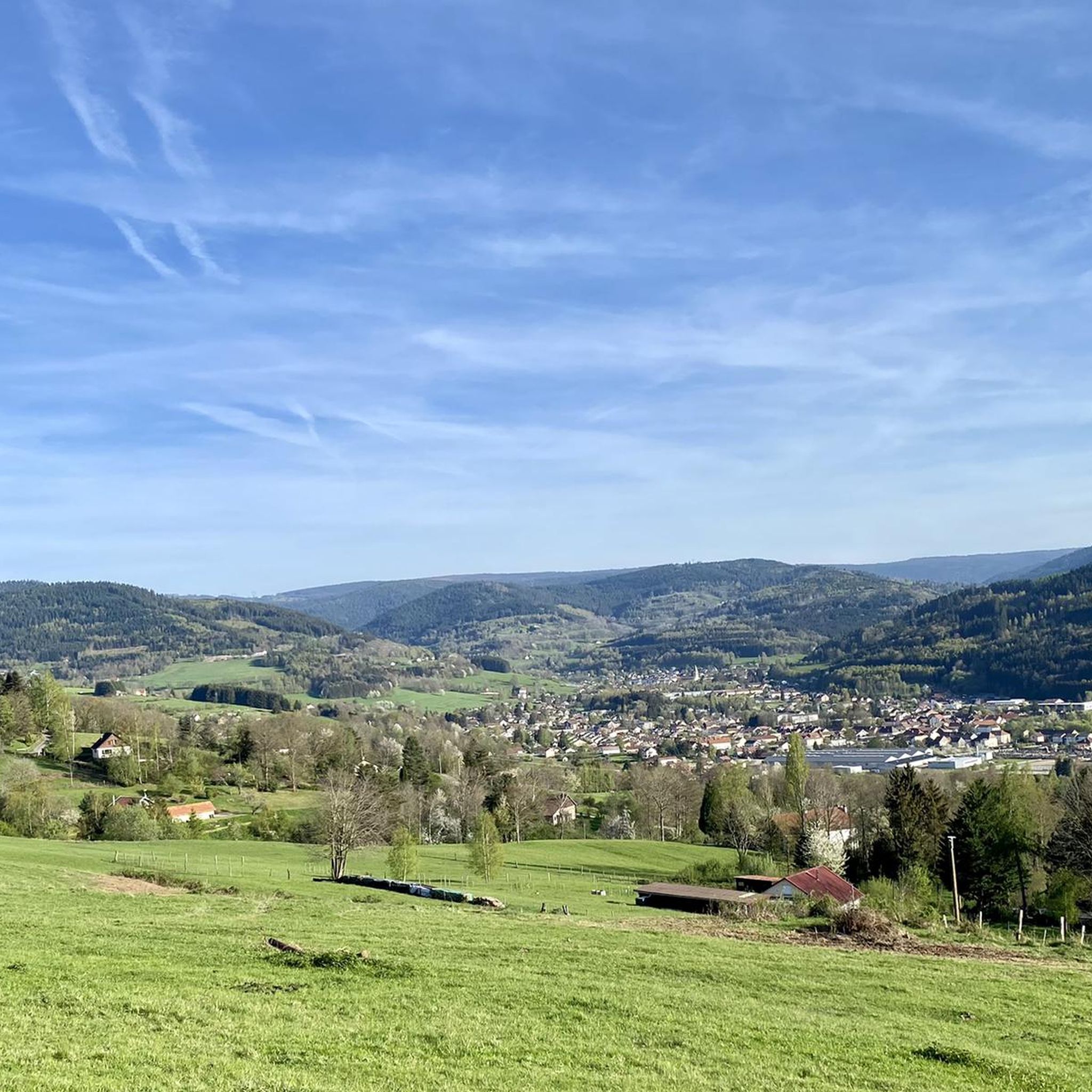
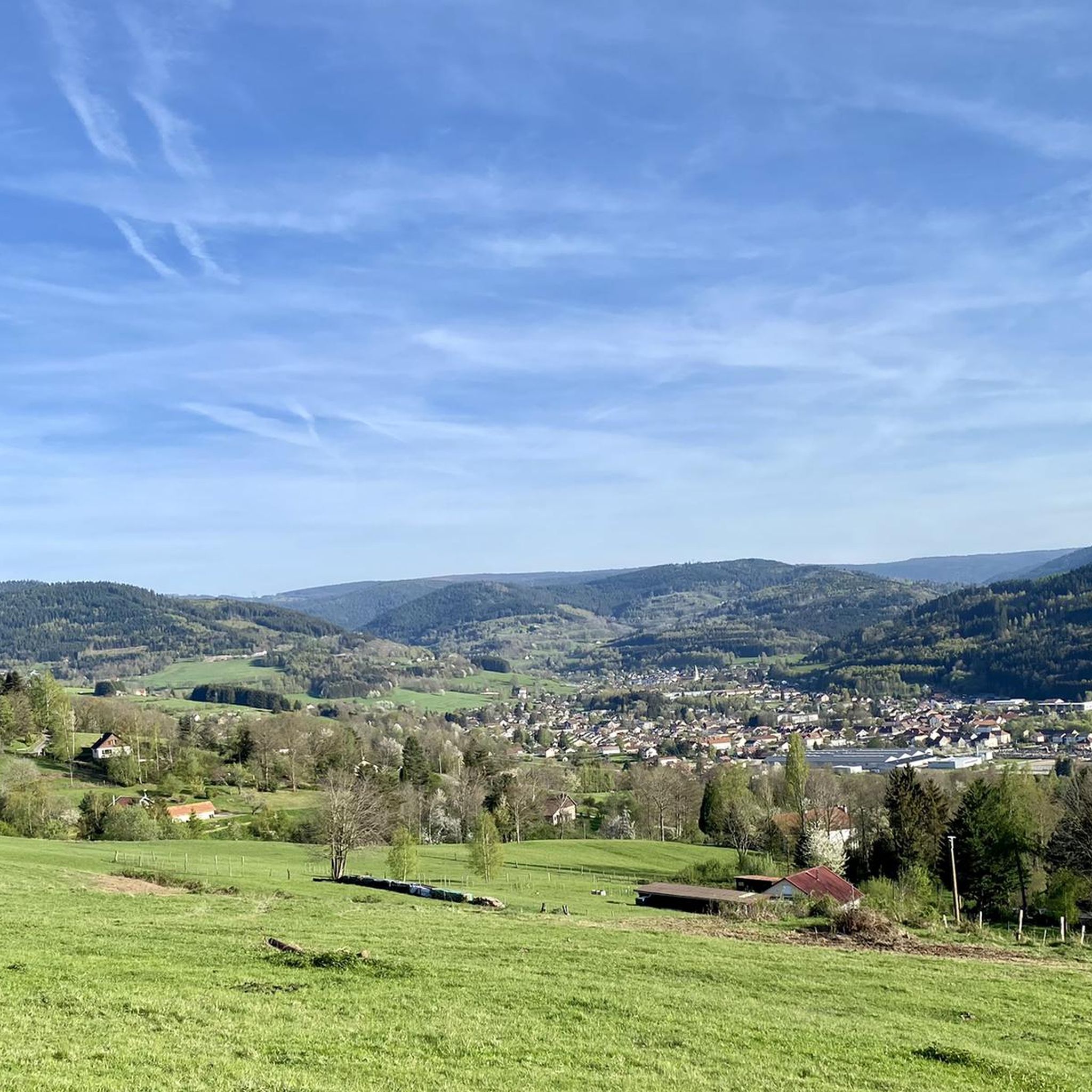
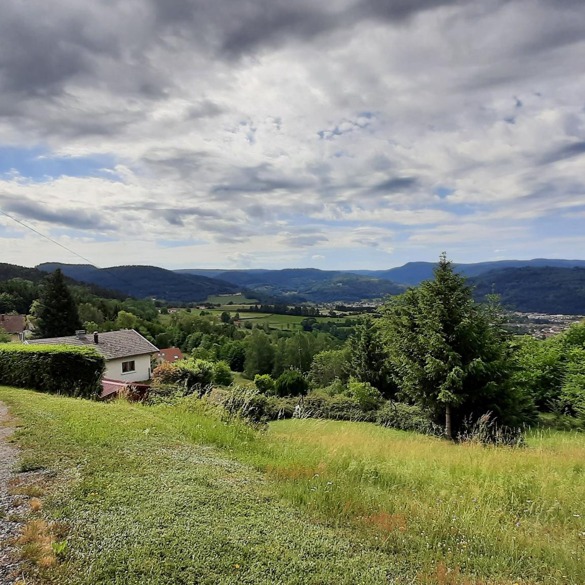
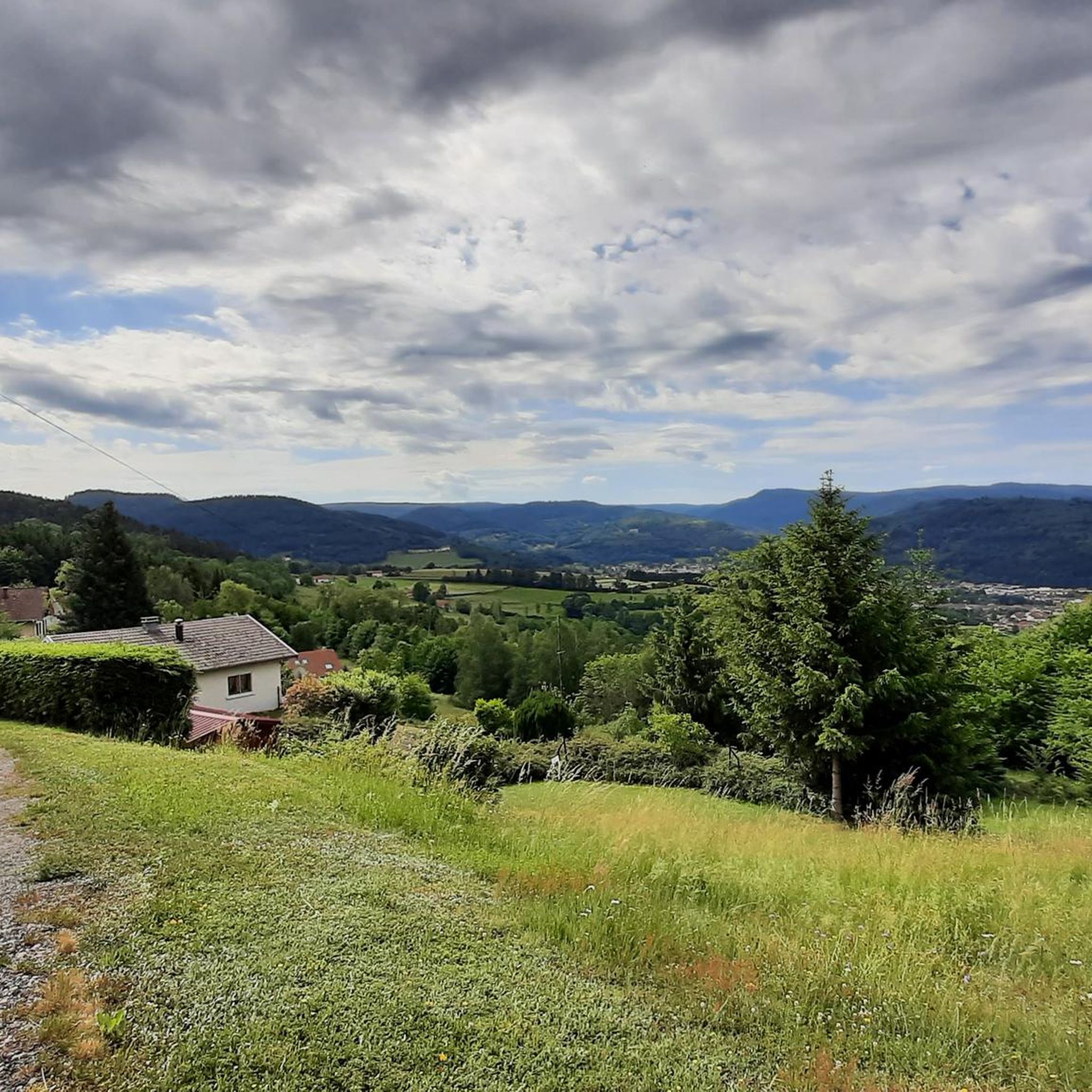
Tips from the Community


Beautifully situated mountain lake in the middle of the forest
3
0

Delicious Siaßhaas, when the farm is open.
0
2

A scenic tour that will delight you.
1
0

Here is a very pretty view of Lac du Forlet.
4
0
Lac Blanc can be reached via a pretty rocky path from the plateau
1
0

Very beautiful lake with a great mountain backdrop. Take a moment to pause
0
0
The view from here is very obscured by trees... a few meters further you are directly at Lac Blanc... much more worthwhile
1
0
Frequently Asked Questions
How many mountaineering routes are available in Mandray?
There are currently 3 mountaineering routes listed around Mandray. These routes are generally considered difficult, offering a significant challenge for experienced mountaineers.
What kind of terrain can I expect on mountaineering routes near Mandray?
The mountaineering routes around Mandray feature challenging terrain with significant elevation gains. For example, the Taubenklangfelsen Viewpoint – Lac du Forlet loop from Lac Blanc involves over 800 meters of ascent, indicating steep and demanding paths.
Are there any circular mountaineering routes in Mandray?
Yes, all the listed mountaineering routes in Mandray are circular. This includes the Rochers de Hans Ascent – View of Lac Blanc loop from Lac Blanc, which provides a challenging loop experience.
What are the typical durations for mountaineering routes in Mandray?
Mountaineering routes in Mandray can vary in length and duration. The longest route, Taubenklangfelsen Viewpoint – Lac du Forlet loop from Lac Blanc, is over 21 km long and can take around 7.5 hours to complete. Shorter options, like the View of Lac Blanc – Lac Blanc loop from Lac Blanc, are about 10.6 km and typically take around 4 hours.
What natural features or landmarks can I see along the mountaineering routes?
Many routes offer views of Lac Blanc, a notable lake in the area (Lac Blanc). You might also encounter the Rocky Trail to Rocher Hans and the Hautes Chaumes Near Lac Blanc, offering scenic viewpoints and unique landscapes.
Are there any mountain peaks to explore near Mandray?
Yes, the region around Mandray features several peaks. Notable summits include Tête des Faux Summit and World War I Memorial, Little Brézouard, and Grand Brézouard. These offer additional exploration opportunities beyond the main mountaineering routes.
Are the mountaineering routes in Mandray suitable for families or beginners?
The mountaineering routes listed for Mandray are all rated as 'difficult'. They involve significant distances and elevation gains, making them more suitable for experienced mountaineers rather than families with young children or beginners.
What do other mountaineers enjoy most about the routes in Mandray?
The routes around Mandray are highly rated by the komoot community, with an average score of 4.6875 stars from 8 ratings. Users often appreciate the challenging nature of the trails and the scenic views, particularly around Lac Blanc.
Is there information available on parking or public transport for Mandray's mountaineering routes?
Specific information regarding parking facilities or public transport options directly serving the trailheads for mountaineering routes in Mandray is not available in the provided data. It is advisable to research local transport and parking arrangements before planning your trip.
What is the best time of year for mountaineering in Mandray?
Information regarding the best time of year or seasonal considerations for mountaineering in Mandray is not available in the provided data. It is recommended to check local weather conditions and trail status before embarking on any mountaineering activity.
Most popular routes around Mandray
Most popular attractions around Mandray

Get inspired with the komoot mobile app


Explore more
Browse the best Mountain Hikes & Routes in other regions.
