The best gravel rides around Fresneda De La Sierra Tirón
4.8
(6)
68
riders
14
rides
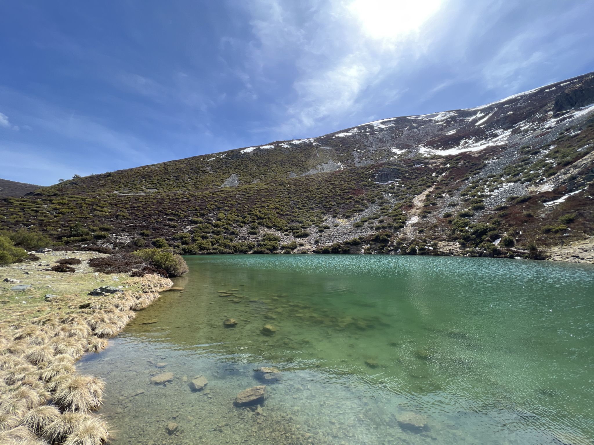
Gravel biking around Fresneda De La Sierra Tirón offers a diverse landscape characterized by the Sierra de la Demanda mountain range, featuring significant elevation changes and forested areas. The region includes a mix of unpaved roads, tracks, and greenways, providing varied terrain for gravel cyclists. Routes often traverse natural environments like the Tirón River valley, connecting small towns and offering expansive views of the surrounding countryside, including the glacial lagoon Pozo Negro.
Best gravel bike trails around Fresneda De La…
Last updated: May 22, 2026
5.0
(1)
6
riders
65.4km
06:49
1,740m
1,740m
Hard gravel ride. Very good fitness required. Mostly paved surfaces. Suitable for all skill levels.
1
riders
69.4km
06:49
1,870m
1,870m
Hard gravel ride. Very good fitness required. Some segments of this route may be unpaved and difficult to ride.

Sign up for free
9
riders
72.2km
06:24
1,710m
1,710m
Hard gravel ride. Very good fitness required. Mostly paved surfaces. Suitable for all skill levels.
5.0
(2)
4
riders
49.1km
04:13
1,330m
1,330m
Hard gravel ride. Very good fitness required. Mostly paved surfaces. Suitable for all skill levels.
7
riders
39.5km
03:50
1,140m
1,140m
Hard gravel ride. Very good fitness required. Mostly paved surfaces. Suitable for all skill levels.
Get access to more routes and recommendations from other explorers.
Sign up for free
Already have an account?
Our route recommendations are based on thousands of hikes, rides, and runs completed by other people on komoot.
Start today with a free account
Your next adventure awaits.
Login or Signup
Popular around Fresneda De La Sierra Tirón
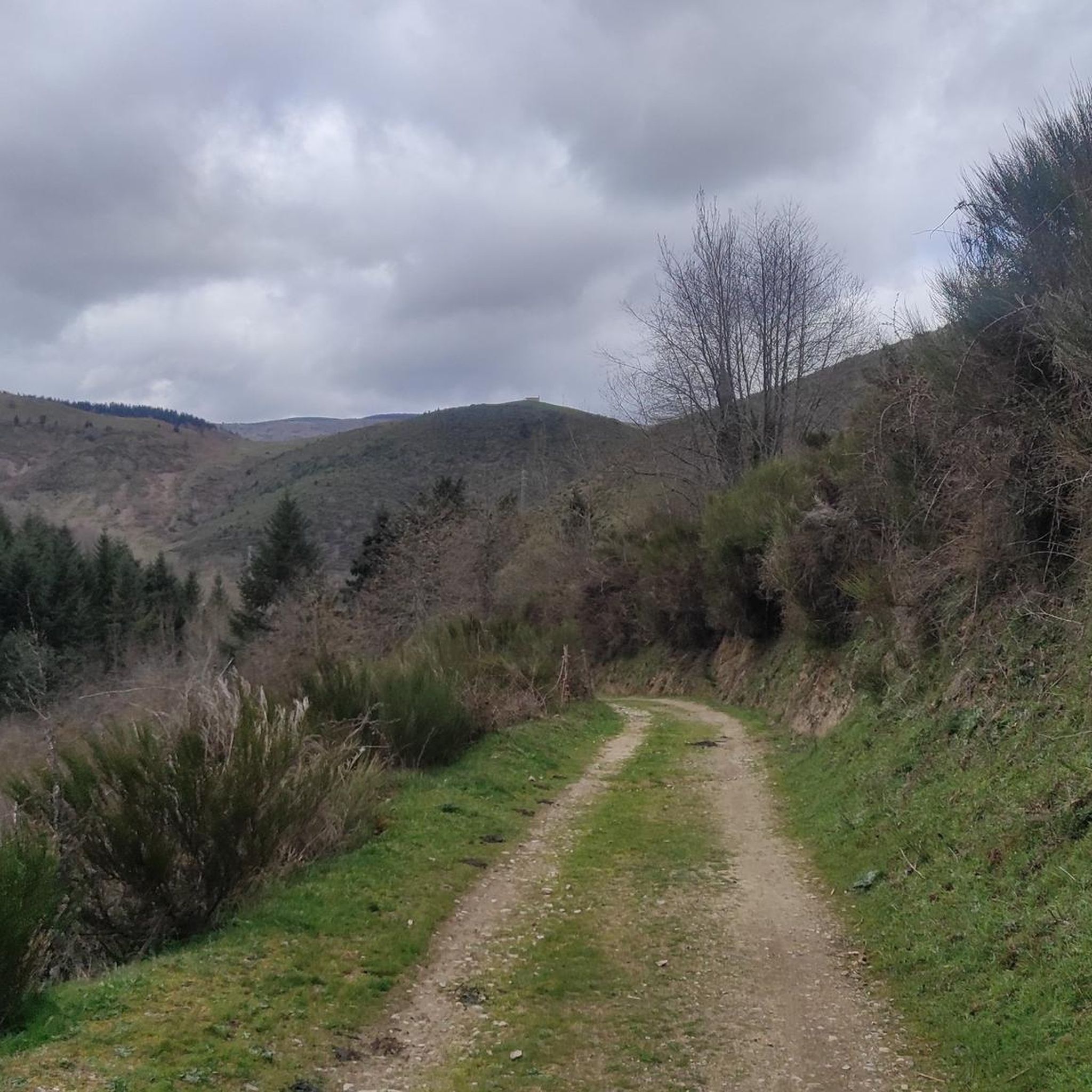
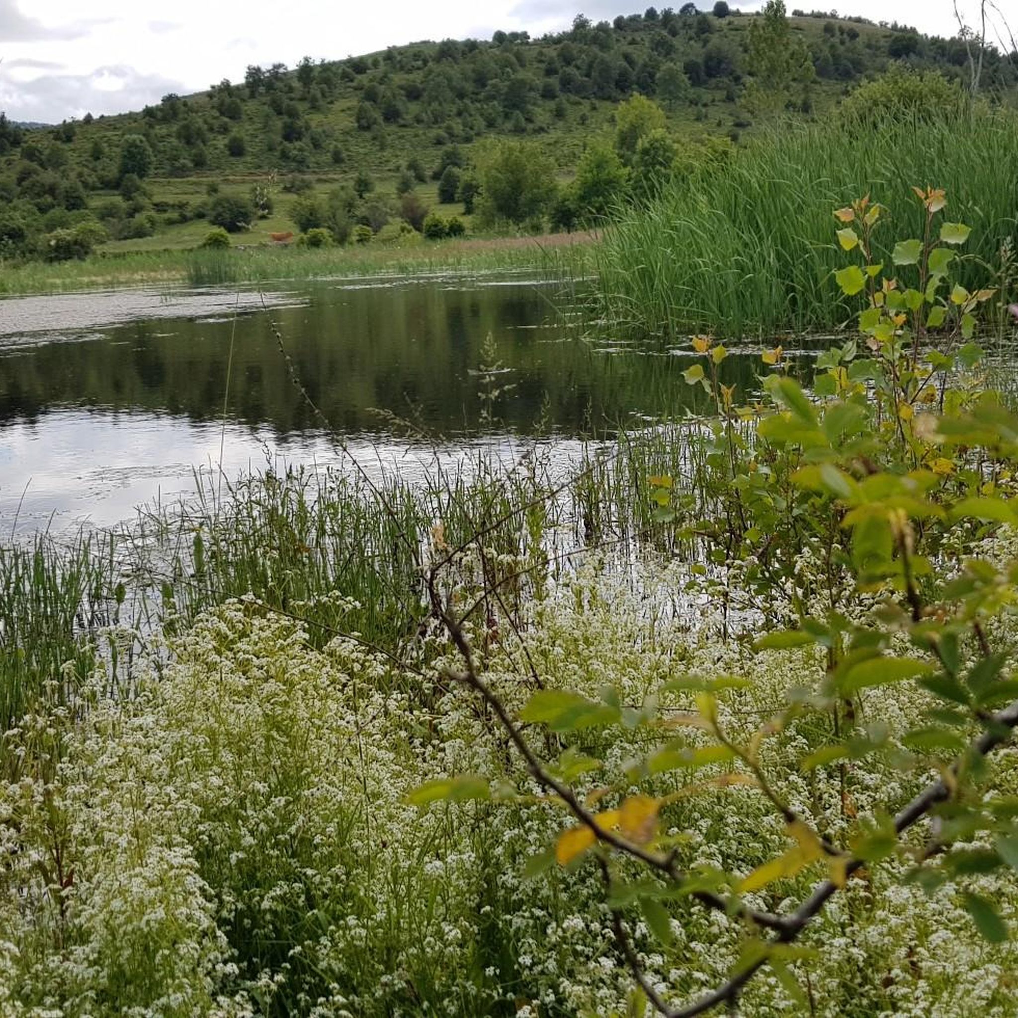
Other adventures around Fresneda De La Sierra Tirón

Tips from the Community

hard descent to Altuzarra, very bad.
0
0

Romanesque church dating back to the 12th century on the outskirts of Valgañón, a town in the Sierra de la Demanda near Ezcaray. A great stop to get water on the way up to the top of Pradilla.
0
0
A comfortable mountain pass that connects the provinces of Burgos and La Rioja. Both sides have beautiful views, and it is worth climbing both.
0
0

With the mountain route you can go up from Fresneda, reach the Pozo Negro (durillo), and from there to the Cruz de la Demanda, returning to Fresneda by road and passing through the top of La Pradilla.
0
0

Refreshing bath after a hot day
0
0

This refuge is located at the end of the paved track that goes up the Cárdenas river valley from San Millán de la Cogolla. The shelter has two rooms, one of them having a fireplace and a table. It is a usual starting point for the ascent to the San Lorenzo peak, summit of the Sierra de la Demanda and the highest point in La Rioja.
2
0
This cycle path runs from Ezcaray to Casalarreina (both towns are in the Rioja Alta region, in La Rioja), following the old railway route. In addition to Ezcaray, the greenway passes very close to the towns of Ojacastro, Santurde de Rioja, Santo Domingo de la Calzada, Castañares de la Rioja and finally Casalarreina. The track is made of mixed soil: compacted asphalt and gravel (small crushed stone).
3
1

Very good mountain route!
0
0
Frequently Asked Questions
How many gravel bike trails are available around Fresneda De La Sierra Tirón?
There are over 15 gravel bike routes documented on komoot for the Fresneda De La Sierra Tirón area, offering a variety of experiences for cyclists.
What is the general difficulty level of gravel biking in this region?
The gravel biking routes around Fresneda De La Sierra Tirón are predominantly challenging. Out of 16 available routes, 14 are rated as 'difficult' and 2 as 'moderate', indicating significant elevation changes and rugged terrain characteristic of the Sierra de la Demanda.
Are there any circular gravel bike routes in Fresneda De La Sierra Tirón?
Yes, many routes in the region are designed as loops. For example, the Circular gravel of the Sierra de la Demanda is a popular option that explores the rugged terrain of the Sierra de la Demanda in a loop.
What kind of terrain can I expect on the gravel bike trails?
You can expect a diverse landscape featuring the Sierra de la Demanda mountain range. Trails include a mix of unpaved roads, tracks, and sections of greenways, often traversing natural environments with significant elevation changes and forested areas.
Are there any routes suitable for advanced gravel bikers looking for a challenge?
Absolutely. The region is well-suited for advanced riders. A challenging option is the Ascent to Santa Bárbara – Cruz de la Demanda Pass loop from Ezcaray, which covers nearly 50 km with substantial elevation gain, offering a demanding experience.
What are some notable viewpoints or natural attractions along the gravel routes?
The routes often offer expansive views of the surrounding countryside. You might encounter natural monuments and peaks such as Puerto del Manquillo, the summit of San Millán (2,131 m), or the Cruz de la Demanda Pass. These highlights provide excellent scenic stops.
What do other gravel bikers enjoy most about the trails in Fresneda De La Sierra Tirón?
The area is highly rated by the komoot community, with an average score of 4.2 stars from over 8 reviews. Reviewers often praise the diverse landscape, the challenging mountain passes, and the well-maintained greenway sections that offer varied riding experiences.
Are there any longer gravel bike routes for endurance riders?
Yes, for those seeking longer rides, the Alto de Pradilla – Ezcaray Greenway loop from Ezcaray is a difficult 72.2 km path that incorporates sections of the Ezcaray Greenway, providing a significant endurance challenge.
What is the best season for gravel biking in Fresneda De La Sierra Tirón?
The best seasons for gravel biking in this mountainous region are typically spring and autumn, when temperatures are milder and the natural scenery is vibrant. Summer can be hot, and winter may bring snow to higher elevations, making some routes impassable.
Are there any routes that incorporate sections of the Ezcaray Greenway?
Yes, several routes utilize the Ezcaray Greenway. The Ezcaray Greenway – Puente de Cihuri loop from Ezcaray is a moderate 65.3 km trail that prominently features the greenway, offering a mix of surfaces and scenic views.
Where can I find parking for gravel biking near the trailheads?
Many routes start from towns like Ezcaray, which typically offer public parking facilities. It's advisable to check local parking options in the specific starting village for your chosen route.
Are there any routes with less extreme elevation changes for a more moderate ride?
While many routes are difficult, there are moderate options. The Ezcaray Greenway – Puente de Cihuri loop from Ezcaray is one such route, offering a substantial distance with less intense climbing compared to the most challenging mountain passes.
Most popular routes around Fresneda De La Sierra Tirón
Most popular attractions around Fresneda De La Sierra Tirón

Get inspired with the komoot mobile app


Explore more
Browse the best Gravel rides in other regions.
