The best gravel rides around Compiano
4.0
(1)
34
riders
8
rides
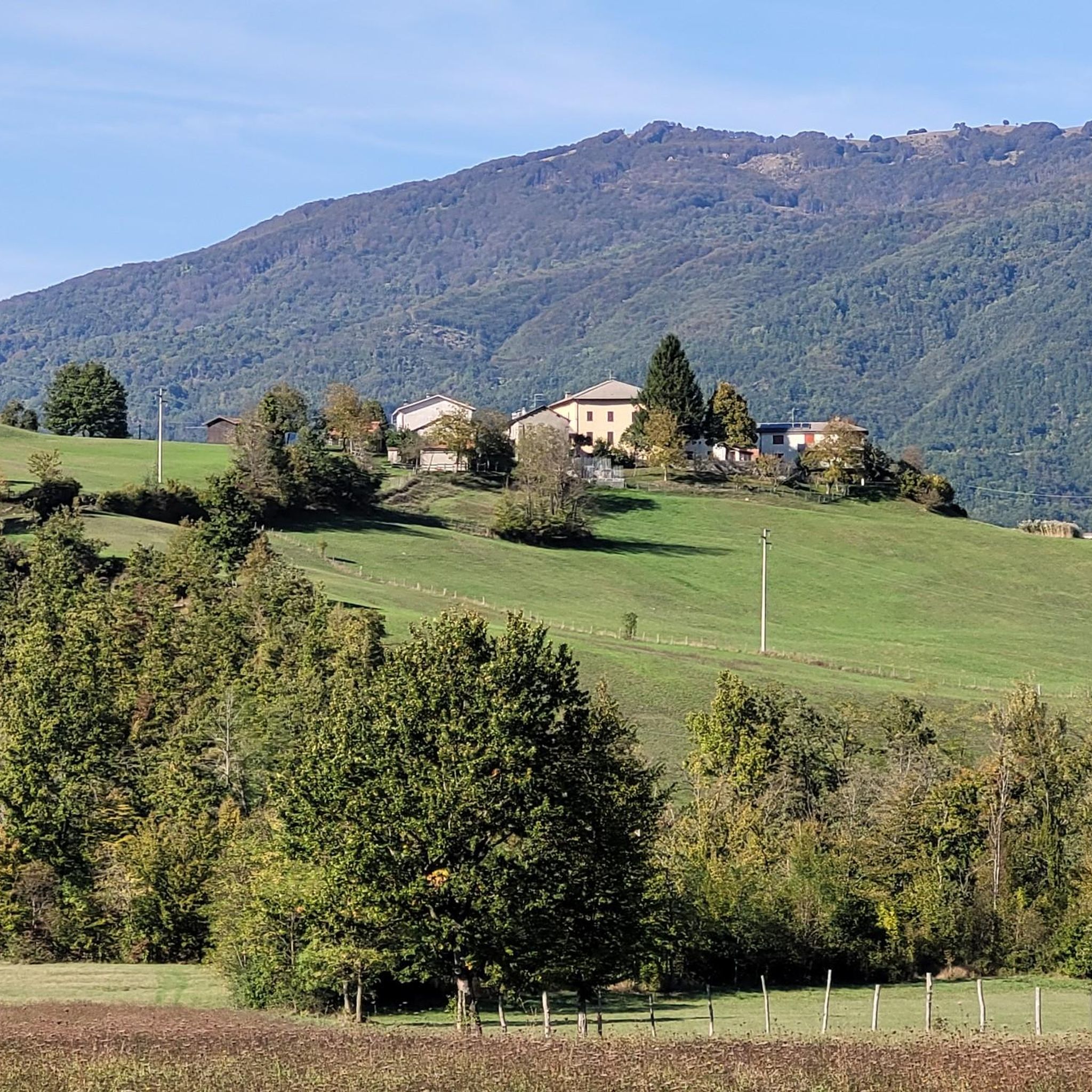
Gravel biking around Compiano offers routes through the Parma Apennines, characterized by a hilly and mountainous landscape. The region features wooded slopes, dramatic mountain ridges, and the scenic Val di Taro, providing diverse terrain for cycling. Elevations range from approximately 500 meters above sea level, with notable passes reaching over 1,000 meters, offering varied challenges. The area includes ancient routes and dirt roads, making it well-suited for gravel bikes.
Best gravel bike trails around Compiano
- The most popular gravel bike…
Last updated: August 14, 2026
4.0
(1)
11
riders
57.3km
04:10
1,210m
1,210m
Hard gravel ride. Very good fitness required. Mostly paved surfaces. Suitable for all skill levels.
5
riders
110km
09:20
3,000m
3,000m
Hard gravel ride. Very good fitness required. Mostly paved surfaces. Suitable for all skill levels.

Sign up for free
5
riders
66.1km
05:00
1,470m
1,470m
Hard gravel ride. Very good fitness required. Mostly paved surfaces. Suitable for all skill levels.
4
riders
80.9km
06:41
2,520m
2,520m
Hard gravel ride. Very good fitness required. Mostly paved surfaces. Suitable for all skill levels.
2
riders
95.4km
08:02
3,080m
3,080m
Hard gravel ride. Very good fitness required. Mostly paved surfaces. Suitable for all skill levels.
Get access to more routes and recommendations from other explorers.
Sign up for free
Already have an account?
Our route recommendations are based on thousands of hikes, rides, and runs completed by other people on komoot.
Start today with a free account
Your next adventure awaits.
Login or Signup
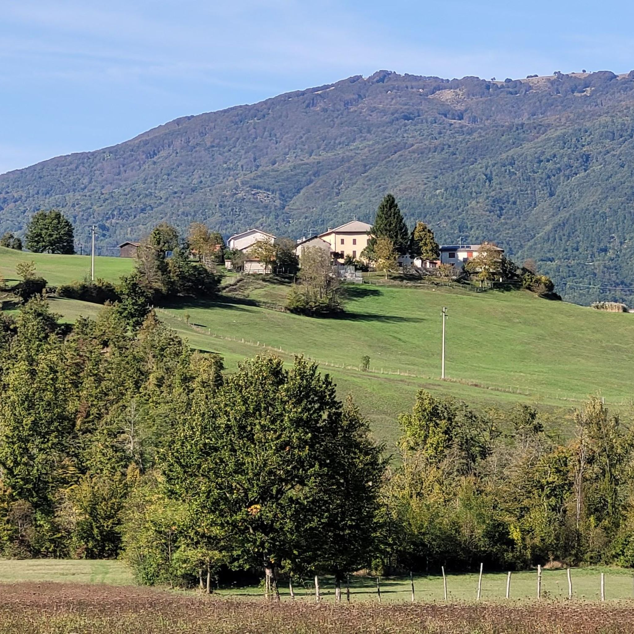
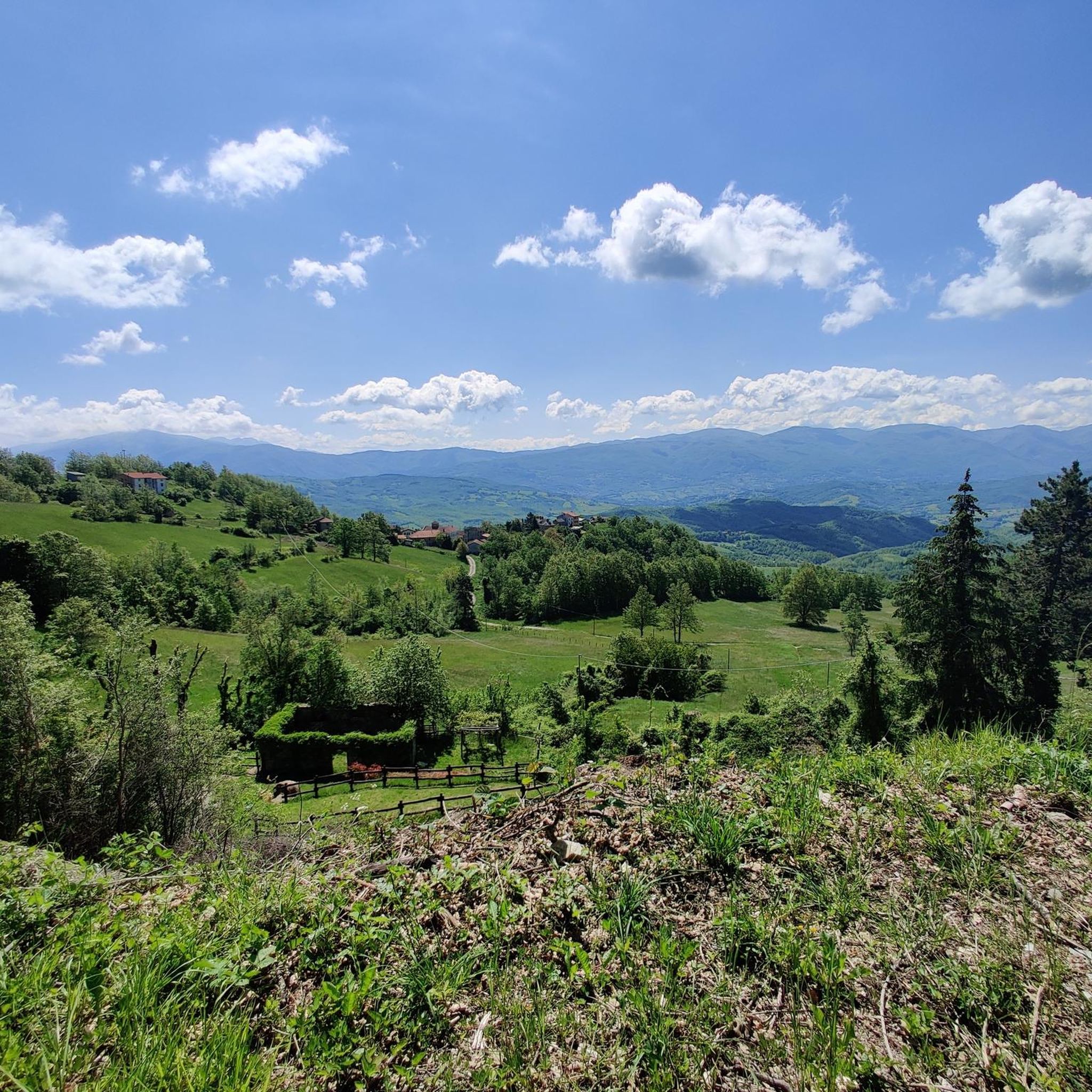
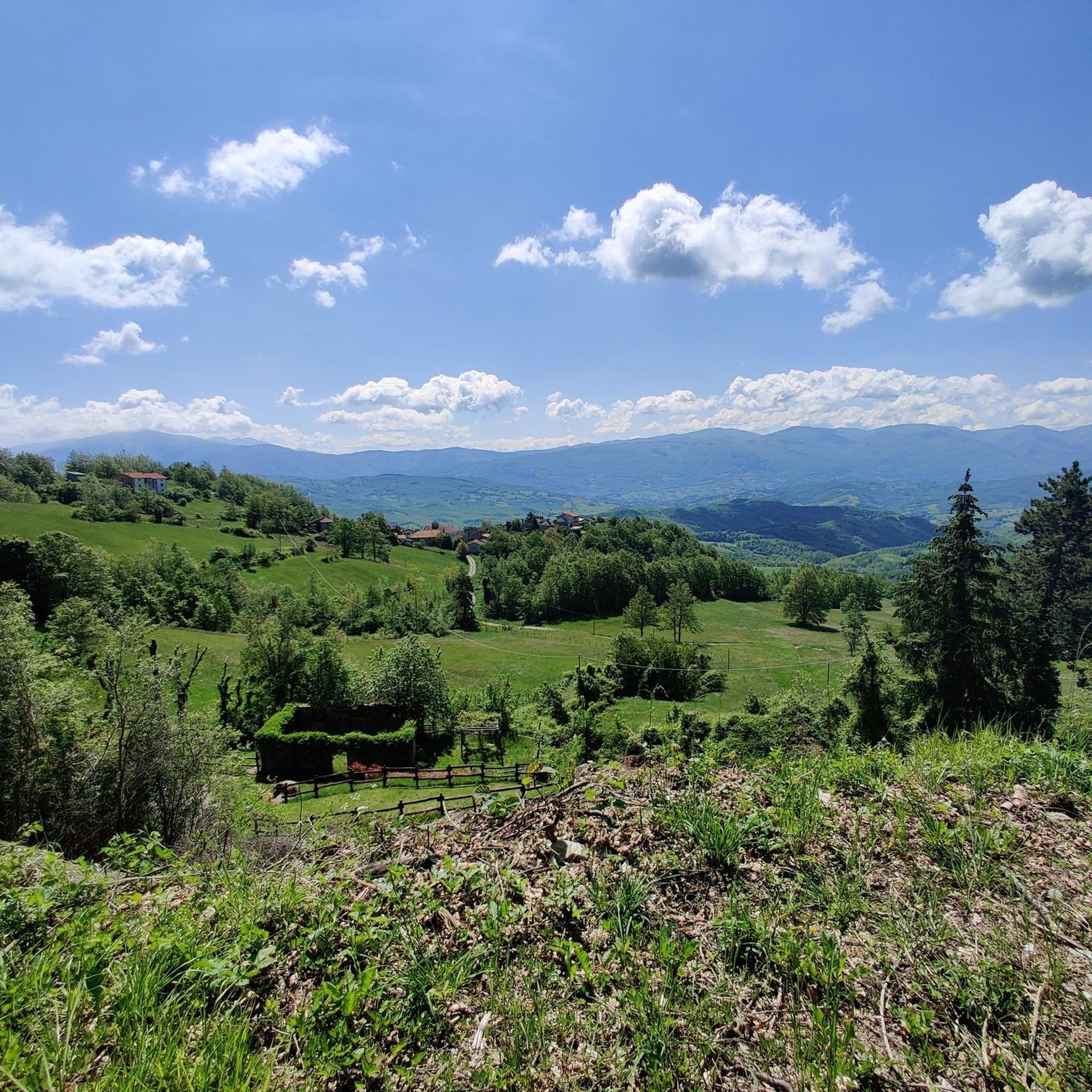
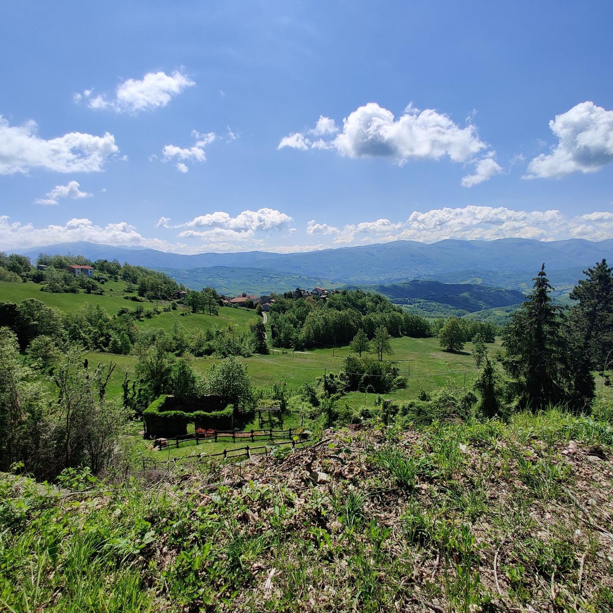
Tips from the Community

Il Ponte della Crësa is an ancient 14th-century stone bridge located in Pontremoli, Tuscany. It connects the medieval historic village and joins the Sommoborgo area to the Verde stream. It is also known as the San Francesco bridge Built in the 14th century (around 1219 as the original core near the church of San Francesco). Also called the San Francesco di sopra bridge because it leads to the nearby church of San Francesco. It united the ancient parts of the city divided by historical rivalries and served as access to the fortified village
0
0

Pass of the Ligurian Apennines located at an altitude of 1,452 m, it is reachable by car and is a crossroads where various hiking trails branch off.
0
0
Born from the recovery of old barracks, it is a beautiful refuge where you can both eat and stay overnight. The location is stunning and makes it a must-stop when visiting these areas.
0
0
The Passo della Cappelletta (1,085 m a.s.l.) is a charming Apennine pass located on the border between Emilia-Romagna (province of Parma/Piacenza) and Liguria. It is famous for its imposing wind turbines and its proximity to Monte Gottero.
0
0
Established in December 2010, it covers the southwestern portion of the Province of Parma, divided between the municipalities of Albareto and Borgo Val di Taro. With an altitude ranging from 478 to 693 meters above sea level, it covers an area of approximately 370 hectares and is located within the larger WWF Oasis of the same name.
0
0

small village but very suggestive and picturesque to pass by bicycle
0
0

Situated at 717 meters above sea level, Santa Maria del Taro is a hamlet in the municipality of Tornolo (province of Parma), nestled in the heart of the Northern Apennines, near the border between Emilia and Liguria. Since the early Middle Ages, its strategic position along the ancient ridge road connecting the sea to the Po Valley has made it a transit and trade center, as well as a military and commercial control point. The name itself recalls the religious devotion that has permeated the town for centuries: the church-sanctuary dedicated to the Nativity of Mary, rebuilt in neoclassical style between 1807 and 1834, stands on an older structure and has been the spiritual center of the upper Taro Valley for centuries. The building, with its broad façade and stone bell tower, preserves a deep devotional tradition that is still alive. A short walk from the center is the Ponte dei Priori, a medieval humpbacked stone structure that once served as the only permanent access to the valley and symbolically marked the passage between the lands of the Malaspina and Fieschi families, two powerful feudal families of the Apennines. Over the centuries, Santa Maria del Taro has maintained an identity suspended between Emilian and Ligurian culture, evident in the features of its rural architecture, local dialects, and popular customs.
0
0
The Rifugio Casermette del Penna (1,400 m) is located within the Aveto Park, in a beautiful beech forest at the foot of Mount Penna, where the Forestry Corps barracks once stood. Renovated sustainably using local wood, photovoltaic panels, and a biomass boiler, the refuge offers 25 beds in both rooms and dormitories, as well as home-cooked meals prepared using local produce. Today, it is a popular destination for hikers, families, and groups, thanks in part to the large green lawn in front of the building: in summer, it's ideal for relaxing in the sun, picnicking, or letting children play freely. The location is perfect for exploring the trails of Mount Penna, the Lago Penna loop, the Pennino forests, or tackling more technical climbs to the rocky peaks. In winter, it's an ideal base for snowshoeing and cross-country skiing.
0
0
Frequently Asked Questions
What kind of terrain can I expect on gravel bike trails around Compiano?
The gravel bike trails around Compiano are primarily characterized by a hilly landscape within the Parma Apennines and the scenic Val di Taro. You'll encounter diverse terrain, including ancient routes, winding roads, lush greenery, and chestnut forests, with elevations starting around 500 meters above sea level.
Are there any easy gravel bike routes suitable for beginners in Compiano?
While the Compiano area is known for its challenging terrain, with most routes rated as difficult, there is one moderate route available. For those seeking a less strenuous option, it's advisable to carefully review the elevation profiles and distances of individual tours on komoot to find one that matches your comfort level.
What are some notable natural features or viewpoints I can see while gravel biking near Compiano?
The region offers stunning panoramic views of the surrounding hills and valleys. You can experience the 'Alpine panorama' near Passo di Cento Croci (1,055 m), or enjoy the natural beauty of the Ghirardi WWF Oasis and Regional Nature Reserve. Other natural highlights include Summit of Monte Ragola and Lake Bino.
Are there any historical landmarks or charming villages to explore along the gravel routes?
Yes, the area is rich in history. You can explore the medieval village of Compiano itself, dominated by the well-preserved Castello di Compiano. Many routes also pass by or offer views of the imposing Bardi Castle. The route Bardi Castle – View of Bardi Castle loop from Bardi specifically leads through historical areas and offers views of the castle.
What is the typical length and duration of gravel bike trails in this region?
The gravel bike trails around Compiano vary significantly in length and duration. For example, the Alta Via dei Monti Liguri – Passo Alpicella (710 m) loop from Borgo Val di Taro is a challenging 110.5 km (68.7 miles) route that can take around 11 hours. Shorter options like the Scenic viewpoint – Church of Porcigatone loop from Borgo Val di Taro are about 32.2 km (20 miles) and take around 3 hours 0 minutes.
Are there any circular gravel bike routes available?
Yes, several routes in the area are designed as loops, allowing you to start and end in the same location. Examples include the challenging Alta Via dei Monti Liguri – Passo Alpicella (710 m) loop from Borgo Val di Taro and the Passo Montevacca – Vicolo delle Molini, Bedonia loop from Compiano.
What is the best time of year for gravel biking in Compiano?
The hilly landscape of the Parma Apennines is generally enjoyable for outdoor activities. Spring and autumn typically offer pleasant temperatures and vibrant scenery, making them ideal for gravel biking. Summers can be warm, while winters might present colder conditions and potential snow at higher elevations.
Are there any routes that pass by the ancient Via degli Abati or Ippovia dell'Appennino Parmense?
The region around Compiano is indeed crisscrossed by ancient routes, including sections of the Ippovia dell'Appennino Parmense and is near the Via degli Abati. These historical paths contribute to the extensive network of trails perfect for gravel biking, offering a mix of surfaces and scenic routes to explore.
What are some of the more advanced gravel bike routes for experienced riders?
For experienced riders seeking a significant challenge, the Compiano area offers several difficult routes. The Alta Via dei Monti Liguri – Passo Alpicella (710 m) loop from Borgo Val di Taro is a particularly demanding 110.5 km (68.7 miles) trail with nearly 3000 meters of elevation gain. Another challenging option is the Pradesche Trail Junction – Start of P52 Beach Trail loop from Borgo Val di Taro, which covers 31.6 km (19.6 miles) with significant climbing.
Are there opportunities to find cafes or places to eat along the gravel bike routes?
While specific cafes on every route aren't detailed, the charming villages in the region, including Compiano itself and nearby towns like Bardi or Borgo Val di Taro, offer opportunities to enjoy authentic local flavors. You can find traditional cured meats, cheeses, and chestnut-based dishes, perfect for refueling after a ride.
What is the elevation range for gravel biking in the Compiano area?
Compiano itself is situated approximately 500 meters above sea level. The gravel bike routes in the Parma Apennines feature significant elevation changes, with some routes climbing nearly 3000 meters, offering varied challenges and rewarding views from higher points like the Passo di Cento Croci (1,055 m).
Most popular attractions around Compiano

Get inspired with the komoot mobile app


Explore more
Browse the best Gravel rides in other regions.
