The best gravel rides around Parco dei Mulini
4.3
(375)
2,747
riders
128
rides
Gravel biking around Parco dei Mulini features a landscape characterized by a network of canals and river valleys, providing varied terrain for cyclists. The region, known for its "Park of the Mills," offers mostly flat to gently rolling paths, making it accessible for different skill levels. Routes often follow historic waterways like the Naviglio Grande and Villoresi Canal, alongside the Olona Valley. This area provides a mix of natural and semi-urban gravel paths, suitable for extended rides.
Best gravel bike…
Last updated: November 8, 2026
3.9
(11)
134
riders
68.8km
04:05
230m
230m
Moderate gravel ride. Good fitness required. Mostly paved surfaces.
4.0
(2)
45
riders
77.2km
04:39
380m
380m
Moderate gravel ride. Good fitness required. Mostly paved surfaces.

52
riders
70.2km
04:13
280m
280m
Hard gravel ride. Good fitness required. You may need to push your bike for some segments of this route.
4.5
(46)
170
riders
78.2km
04:18
180m
180m
Moderate gravel ride. Good fitness required. Mostly paved surfaces.
8
riders
105km
06:37
330m
330m
Hard gravel ride. Very good fitness required. You may need to push your bike for some segments of this route.
Get access to more routes and recommendations from other explorers.
Already have an account?
Our route recommendations are based on thousands of hikes, rides, and runs completed by other people on komoot.
Start today with a free account
Your next adventure awaits.

Tips from the Community

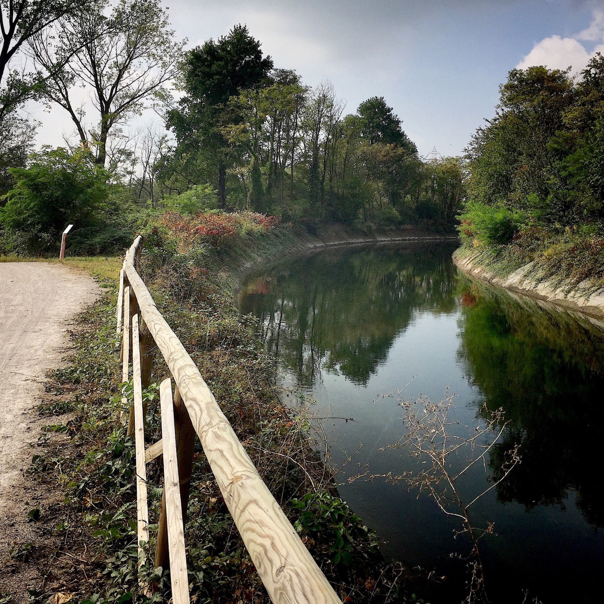
The Lura is a stream in Lombardy that originates near the Italian-Swiss border, in the municipality of Uggiate con Ronago, at an altitude of about 400 m. The Lura has a total length of 46.2 km and a drainage basin of 120 km², and is today the largest tributary of the Olona river.
0
0

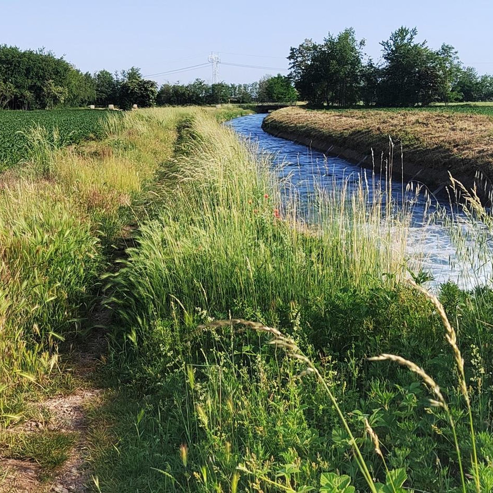
The Strada Alzaia Canale Villoresi is a service road of about 85-90 km that runs along the canal from Somma Lombardo (VA) to Cassano d'Adda (MI), managed by the Consorzio Est Ticino Villoresi. Although widely used by cyclists and walkers, it is not a proper cycle path but a road for mixed use and maintenance.
0
0
The Strada Alzaia Canale Villoresi is a service road of about 85-90 km that runs along the canal from Somma Lombardo (VA) to Cassano d'Adda (MI), managed by the Consorzio Est Ticino Villoresi. Although it is widely used by cyclists and walkers, it is not a real cycle path but a road for mixed use and maintenance.
0
0
The Strada Alzaia Canale Villoresi in the territory of Arconate is one of the most appreciated and frequented sections of the homonymous cycle path in western Lombardy. This specific segment offers an ideal escape into nature for cyclists, runners, and families.
0
0

bridge over the Lura in the homonymous park
0
0
The Bridge of Cassinetta di Lugagnano is one of the most characteristic and historically significant monuments located along the Naviglio Grande, in the metropolitan city of Milan. Originally built of granite, the structure dates back to the 17th century, erected during the Spanish rule of the Duchy of Milan to connect the two historic centers divided by the canal. The bridge historically unites Lugagnano (on the right bank, of Roman origin) and Cassinetta (on the left bank, of medieval design). The bridge was completely rebuilt in a donkey-back shape in May 1862. This intervention became necessary both to repair the damage from the wars of independence (such as the nearby Battle of Magenta in 1859) and to facilitate the transit of commercial barges on the Naviglio.
0
0
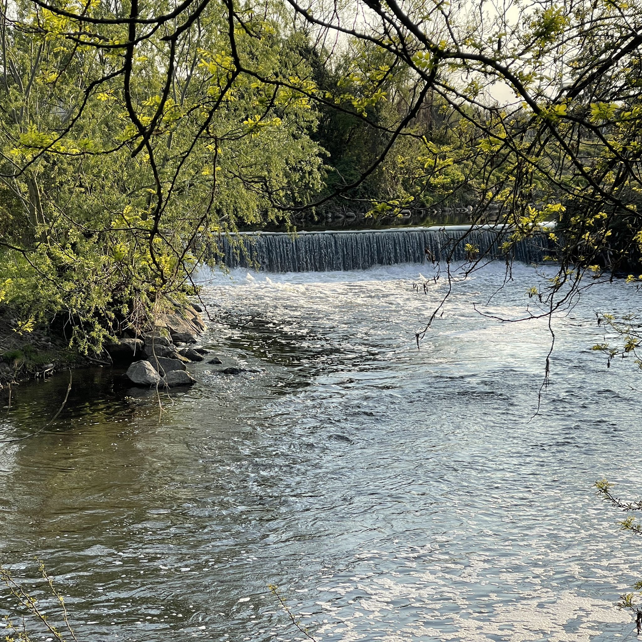
The Naviglio Grande stretch in Castelletto di Cuggiono is one of the most evocative and intact historical and natural sights of the entire Ticino Park. Located in the province of Milan, this ancient river village seems suspended in time and is an ideal destination for walks, cycle touring, and relaxation away from the city chaos.
0
0

Great beautiful cycle path on the Ticino Park
1
0
Frequently Asked Questions
How many gravel bike trails are available in Parco dei Mulini?
Parco dei Mulini offers a wide selection of gravel biking routes, with over 180 trails recorded on komoot. These routes cater to various skill levels, including 27 easy, 85 moderate, and 70 difficult options.
Are there family-friendly or beginner gravel bike routes in Parco dei Mulini?
Yes, the region is well-suited for families and beginners, especially along the canal paths. Many routes are mostly flat to gently rolling. For an accessible option, consider the Villoresi Canal Cycle Path – Canale Villoresi loop from Canegrate, which is 19.9 miles (32.1 km) and generally takes about 2 hours to complete.
What are the typical lengths and durations of gravel bike routes in Parco dei Mulini?
Route lengths vary significantly. You can find shorter loops like the Villoresi Canal Cycle Path – Canale Villoresi loop from Canegrate at 19.9 miles (32.1 km), taking around 2 hours. Longer, more challenging rides, such as the Via Gaggio Outdoor War Museum – Trail loop from Canegrate, can extend over 65 miles (105 km) and take several hours to complete.
What kind of terrain can I expect on gravel bike trails in Parco dei Mulini?
The terrain around Parco dei Mulini is characterized by a network of canals and river valleys. You'll primarily encounter mostly flat to gently rolling paths, often following historic waterways like the Naviglio Grande and Villoresi Canal, as well as paths through the Olona Valley. The surfaces are a mix of natural and semi-urban gravel paths.
What can I see along the gravel bike trails in Parco dei Mulini?
Many routes follow scenic waterways like the Towpath of the Villoresi Canal and the Olona Greenway Trail. You might also pass by historical sites such as the Visconti Castle in Legnano or the Church of the Immaculate Conception. The area also features natural spots like Isolino di Parabiago.
Are there any challenging or advanced gravel bike routes in the area?
Yes, for more experienced riders, the Olona Valley Cycle Path – Olona Valley cycle path loop from Canegrate is a difficult 54.6 miles (87.9 km) route that explores the natural beauty of the Olona Valley, featuring varied surfaces and some challenging sections. Another difficult option is the Via Gaggio Outdoor War Museum – Trail loop from Canegrate.
What is the best time of year for gravel biking in Parco dei Mulini?
Spring and autumn generally offer the most pleasant conditions for gravel biking in Parco dei Mulini, with mild temperatures and beautiful scenery. Summer can be warm, so early morning or late afternoon rides are recommended. Winter rides are possible, especially on the well-maintained canal paths, but be prepared for cooler temperatures and potentially muddy sections after rain.
Are the gravel bike routes in Parco dei Mulini typically loop trails?
Many of the popular gravel bike routes in Parco dei Mulini are designed as loops, offering convenient starting and ending points. Examples include the Naviglio Grande loop from Canegrate and the Railway Bridge – Villa Scheibler loop from Nerviano.
Is parking available near the gravel bike trails?
While specific parking areas aren't always signposted for each trail, you can generally find parking in towns and villages along the routes, such as Canegrate or Nerviano, which serve as common starting points for many loops. Look for public parking lots or street parking where permitted.
What do other gravel bikers enjoy most about the routes in Parco dei Mulini?
The gravel bike routes in Parco dei Mulini are highly rated by the komoot community, with an average score of 4.5 stars from over 500 reviews. Riders often praise the scenic canal-side paths, the varied terrain that caters to different skill levels, and the opportunity to explore both natural landscapes and historical sites.
Are dogs allowed on the gravel bike trails in Parco dei Mulini?
Generally, dogs are welcome on most public trails in the Parco dei Mulini area, provided they are kept on a leash and owners clean up after them. It's always a good idea to check local signage for any specific restrictions in certain protected areas or nature reserves along your chosen route.
Most popular routes around Parco dei Mulini
Most popular attractions around Parco dei Mulini

Get inspired with the komoot mobile app


Explore more
Browse the best Gravel rides in other regions.
