The best MTB trails around Parco dei Mulini
4.2
(2079)
7,550
riders
370
rides
Mountain bike trails around Parco dei Mulini are characterized by flat, accessible terrain along waterways in the Milan area. This region features extensive cycle paths, particularly along the Villoresi Canal, offering routes through agricultural landscapes and green spaces. The Parco dei Mulini location provides a network of trails suitable for various skill levels, with minimal elevation changes.
Best mountain bike trails around Parco dei Mulini
- The most popular mountain bike trail is Towpath of the Villoresi Canal – Villoresi Canal…
Last updated: November 10, 2026
4.4
(44)
179
riders
58.4km
03:30
180m
180m
Moderate mountain bike ride. Good fitness required.
4.3
(20)
114
riders
72.6km
03:56
120m
120m
Moderate mountain bike ride. Good fitness required.

4.4
(21)
88
riders
50.3km
02:59
120m
120m
Moderate mountain bike ride. Good fitness required.
4.0
(6)
24
riders
48.6km
03:21
90m
90m
Moderate mountain bike ride. Good fitness required. Advanced riding skills necessary.
3.6
(14)
37
riders
Easy mountain bike ride.
Get access to more routes and recommendations from other explorers.
Already have an account?
Our route recommendations are based on thousands of hikes, rides, and runs completed by other people on komoot.
Start today with a free account
Your next adventure awaits.
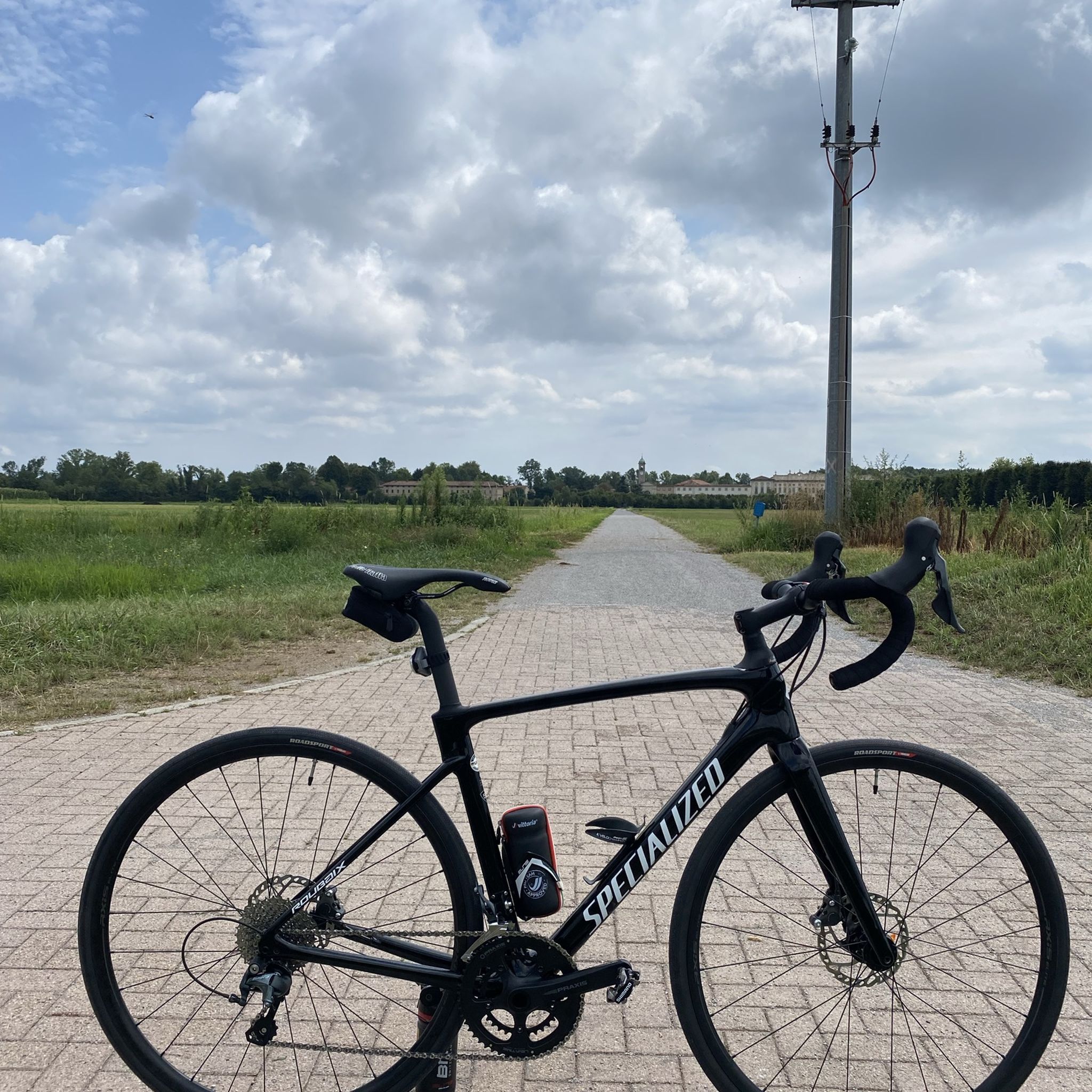
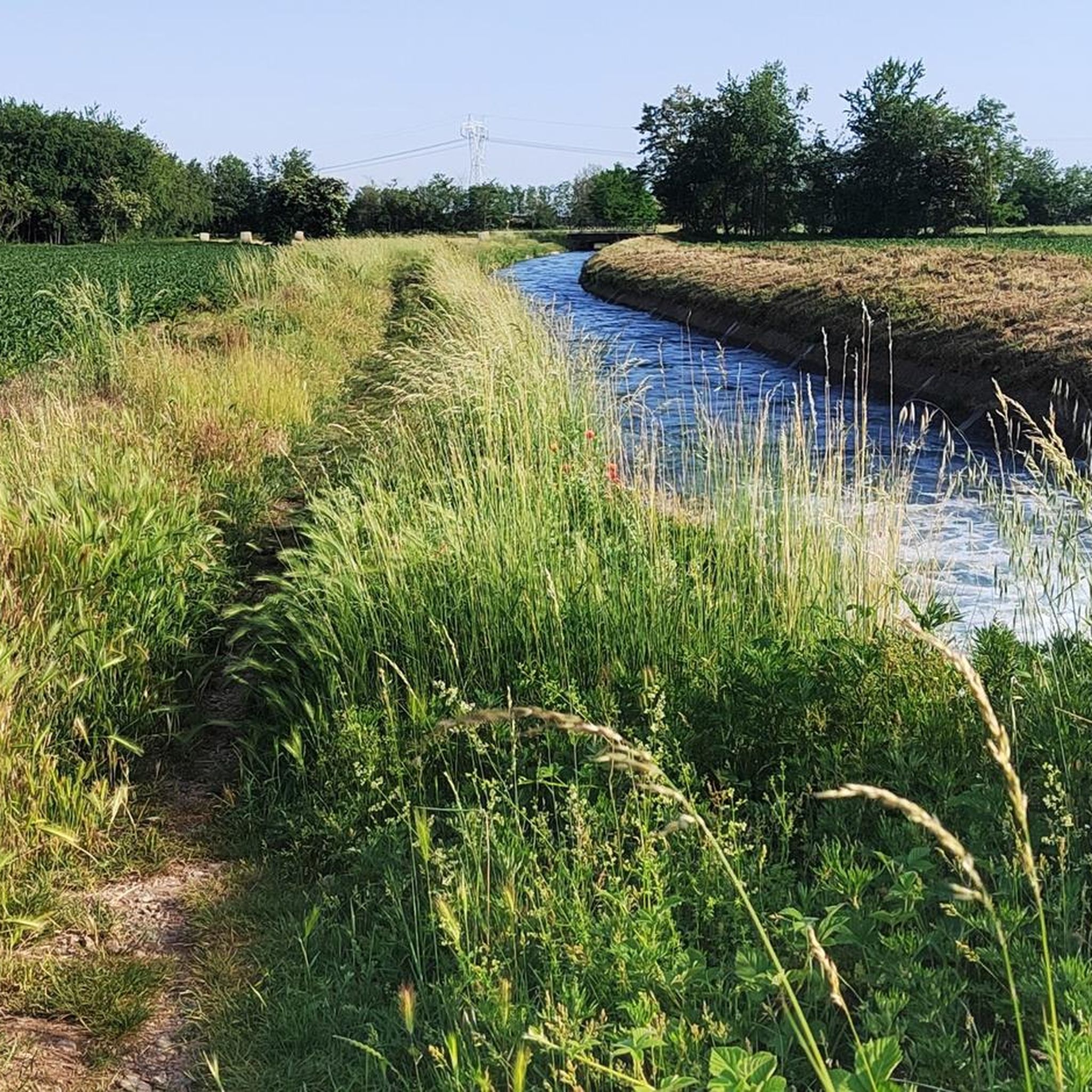
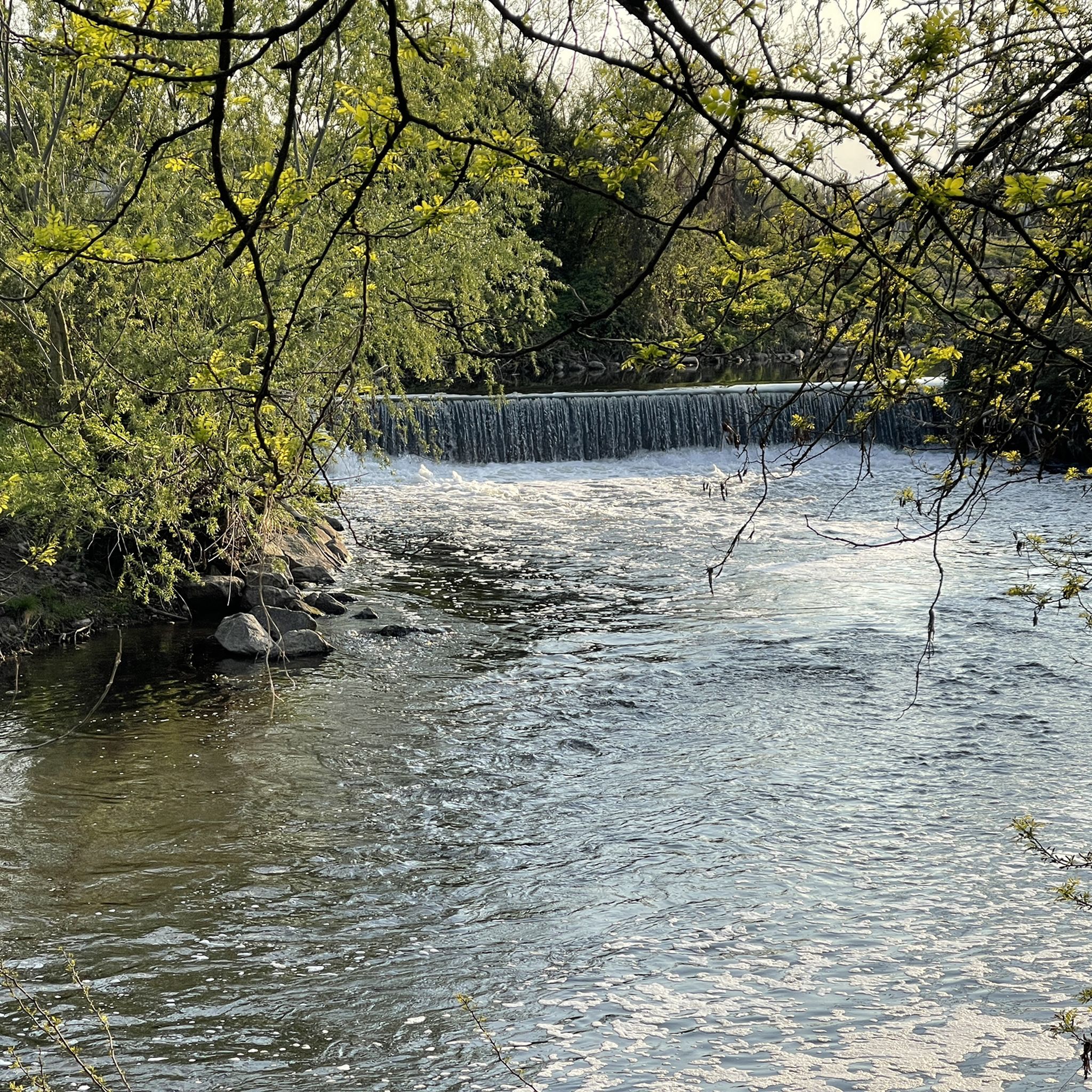

Tips from the Community

The Villoresi canal takes water from the river Ticino, in the locality of Panperduto, in the municipality of Somma Lombardo. After travelling 86 kilometers, through the provinces of Milan and Monza Brianza, it flows into the river Adda in the municipality of Cassano d’Adda. Construction work began in 1881 and was completed in 1891 to a design by Eugenio Villoresi. Originally intended exclusively for irrigation, following the crisis in crops related to silk production, the canal now allows water distribution in a plain area of approximately 85,000 hectares, through a network that totals around 3,000 kilometers. The paths, which are free of difficulties, accessible to everyone and certainly of interest, are part of the investments made to enhance the towpaths of the waterways, and are also considered a fast connection route between the various Municipalities bordering the canal.
3
0
The Villoresi Canal towpath connects Arese and the nearby municipalities via cycle paths and service roads, offering a convenient cycle-pedestrian route along the artificial canal that connects the Ticino and Adda rivers.
0
0
The Strada Alzaia Canale Villoresi is a service road of about 85-90 km that runs along the canal from Somma Lombardo (VA) to Cassano d'Adda (MI), managed by the Consorzio Est Ticino Villoresi. Although widely used by cyclists and walkers, it is not a proper cycle path but a road for mixed use and maintenance.
0
0
The Strada Alzaia Canale Villoresi is a service road of about 85-90 km that runs along the canal from Somma Lombardo (VA) to Cassano d'Adda (MI), managed by the Consorzio Est Ticino Villoresi. Although it is widely used by cyclists and walkers, it is not a real cycle path but a road for mixed use and maintenance.
0
0
The La Strada Alzaia Canale Villoresi in Nosate is one of the most picturesque, green, and unspoiled stretches of the Villoresi Canal Cycle Route, located in the metropolitan city of Milan. This specific segment is situated at the western end of the canal, a short distance from the point where the hydraulic infrastructure originates from the Ticino river.
0
0
The Strada Alzaia Canale Villoresi in the territory of Arconate is one of the most appreciated and frequented sections of the homonymous cycle path in western Lombardy. This specific segment offers an ideal escape into nature for cyclists, runners, and families.
0
0

The intersection between the Olona river and the Villoresi Canal occurs in the Alto Milanese area, specifically between the municipalities of Parabiago, Nerviano, and San Vittore Olona. This area is characterized by the intersection of local cycle paths (such as the Olona Greenway) and the long irrigation canal, offering naturalistic and historical routes.
1
0
The Villoresi Canal cycle path traverses the Lombardy countryside, following the entire length of the Villoresi Canal, the historic waterway built for irrigation in the late 19th century by engineer Eugenio Villoresi. The canal draws water from the Ticino River near Somma Lombardo and, after an 86 km journey, returns it to the Adda River near Groppello.
0
0
Frequently Asked Questions
What is the general character of mountain biking trails around Parco dei Mulini?
Mountain bike trails in the Parco dei Mulini area, located near Milan, are generally flat and accessible. They primarily follow extensive cycle paths along waterways, such as the Villoresi Canal, offering routes through agricultural landscapes and green spaces with minimal elevation changes. This makes them suitable for a wide range of skill levels.
How many mountain bike trails are available in Parco dei Mulini?
There are over 400 mountain bike routes available around Parco dei Mulini. These include a mix of easy, moderate, and some more challenging options, primarily featuring long, flat routes along canal towpaths and dedicated cycle paths.
Are there family-friendly mountain bike trails in Parco dei Mulini?
Yes, Parco dei Mulini offers many family-friendly mountain bike trails. The flat and accessible terrain, particularly along the Villoresi Canal, makes it ideal for riders of all ages and skill levels. Many routes are on dedicated cycle paths, ensuring a safe and enjoyable experience for families.
What is the best season for mountain biking in Parco dei Mulini?
The trails around Parco dei Mulini are enjoyable for much of the year. Spring and autumn offer pleasant temperatures, while summer can be warm but many paths are shaded. Winter riding is also possible, as the flat terrain and well-maintained paths are less affected by snow or ice compared to mountainous regions.
Are there any advanced mountain bike trails in Parco dei Mulini?
While the region is known for its flat and accessible terrain, there are some routes classified as 'difficult'. For example, the Palazzo Archinto – Bereguardo Pontoon Bridge loop from Canegrate is a longer, more challenging ride at over 100 km, offering a more extensive experience for advanced riders.
What do other mountain bikers enjoy most about the trails in Parco dei Mulini?
The area is highly rated by the komoot community, with an average score of 4.3 stars from over 1750 reviews. Reviewers often praise the extensive network of flat, well-maintained cycle paths, the scenic canal-side routes, and the peaceful agricultural landscapes that make for a relaxing and accessible ride.
Are there loop mountain bike trails available?
Yes, many of the mountain bike trails in Parco dei Mulini are designed as loops. Popular examples include the Towpath of the Villoresi Canal – Villoresi Canal Cycle Path loop from Canegrate and the Villoresi Cycle Path🚲 – Villoresi Cycle Path🚲 loop from Canegrate, which offer convenient circular routes for exploring the area.
What kind of scenery or attractions can I expect along the mountain bike trails?
Along the trails, you'll primarily experience green spaces and agricultural landscapes, with the Villoresi Canal as a central feature. You might also encounter historical sites such as the Visconti Castle, Legnano, or other points of interest like the Church of the Immaculate Conception. The Olona Greenway Trail also offers additional scenic riding opportunities.
How long are the typical mountain bike trails in Parco dei Mulini?
Trail lengths vary, but many popular routes are quite substantial. For instance, the Towpath of the Villoresi Canal – Villoresi Canal Cycle Path loop from Canegrate is about 71.7 km (44.5 miles), and the Towpath of the Villoresi Canal – Roccolo Park loop from Nerviano is around 49.1 km (30.5 miles). Shorter options are also available, but the region is known for its longer, continuous paths.
Is there parking available near the mountain bike trails?
Yes, as the trails are often accessible from various towns and villages in the Milan area, you can typically find parking in locations like Canegrate or Nerviano, which serve as common starting points for many routes along the Villoresi Canal and surrounding areas.
Can I reach the mountain bike trails using public transport?
Given the proximity to the Milan metropolitan area, many starting points for the trails, such as Canegrate or Nerviano, are generally accessible by public transport, including regional trains or buses. It's advisable to check local transport schedules for specific access points.
Most popular routes around Parco dei Mulini
Most popular attractions around Parco dei Mulini

Get inspired with the komoot mobile app


Explore more
Browse the best MTB trails in other regions.
