The best walks and hikes around Parco dei Mulini
4.1
(938)
5,357
hikers
385
hikes
Hiking around Parco dei Mulini offers trails primarily along the Villoresi Canal and Olona River, characterizing a landscape of waterways and green corridors in the Milanese plain. The terrain is generally flat, with minimal elevation changes, making it accessible for various activity levels. This region provides a mix of natural riverine environments and paths connecting local towns and historical sites. The area is defined by its network of canals and associated parklands.
Best hiking trails around Parco dei Mulini
- The most popular hiking route is Villoresi Canal – Fountain at Villa Litta loop from Nerviano, a 6.7 miles (10.8 km) trail that takes 2 hours 43 minutes to complete. This moderate route follows the Villoresi Canal, offering views of the waterway and connecting to historical points like Villa Litta.
- Another top favourite among local hikers is Visconti Castle, Legnano – Castello Park loop from Parabiago, a moderate 7.5 miles (12.1 km) path. This trail explores the area around Visconti Castle and Castello Park, providing a blend of historical interest and green spaces.
- Local hikers also love the Towpath of the Villoresi Canal – La Barsanella loop from Nerviano, a 7.6 miles (12.2 km) trail leading through canal-side paths, often completed in about 3 hours 5 minutes.
- Hiking around Parco dei Mulini is defined by canal towpaths, riverine landscapes, and local parklands. The network offers options for different ability levels, from easy strolls to moderate loops.
- The routes in Parco dei Mulini are highly rated by the komoot community with an average score of 4.1 stars from over 690 reviews. More than 3,900 hikers have used komoot to explore Parco dei Mulini's varied terrain.
Last updated: October 4, 2026
3.9
(13)
100
hikers
Moderate hike. Good fitness required. Easily-accessible paths. Suitable for all skill levels.
3.2
(12)
34
hikers
11.3km
02:51
10m
10m
Moderate hike. Good fitness required. Easily-accessible paths. Suitable for all skill levels.

4.3
(7)
24
hikers
Moderate hike. Good fitness required. Easily-accessible paths. Suitable for all skill levels.
17
hikers
Moderate hike. Good fitness required. Easily-accessible paths. Suitable for all skill levels.
15
hikers
11.2km
02:49
10m
10m
Moderate hike. Good fitness required. Easily-accessible paths. Suitable for all skill levels.
Get access to more routes and recommendations from other explorers.
Already have an account?
Our route recommendations are based on thousands of hikes, rides, and runs completed by other people on komoot.
Start today with a free account
Your next adventure awaits.
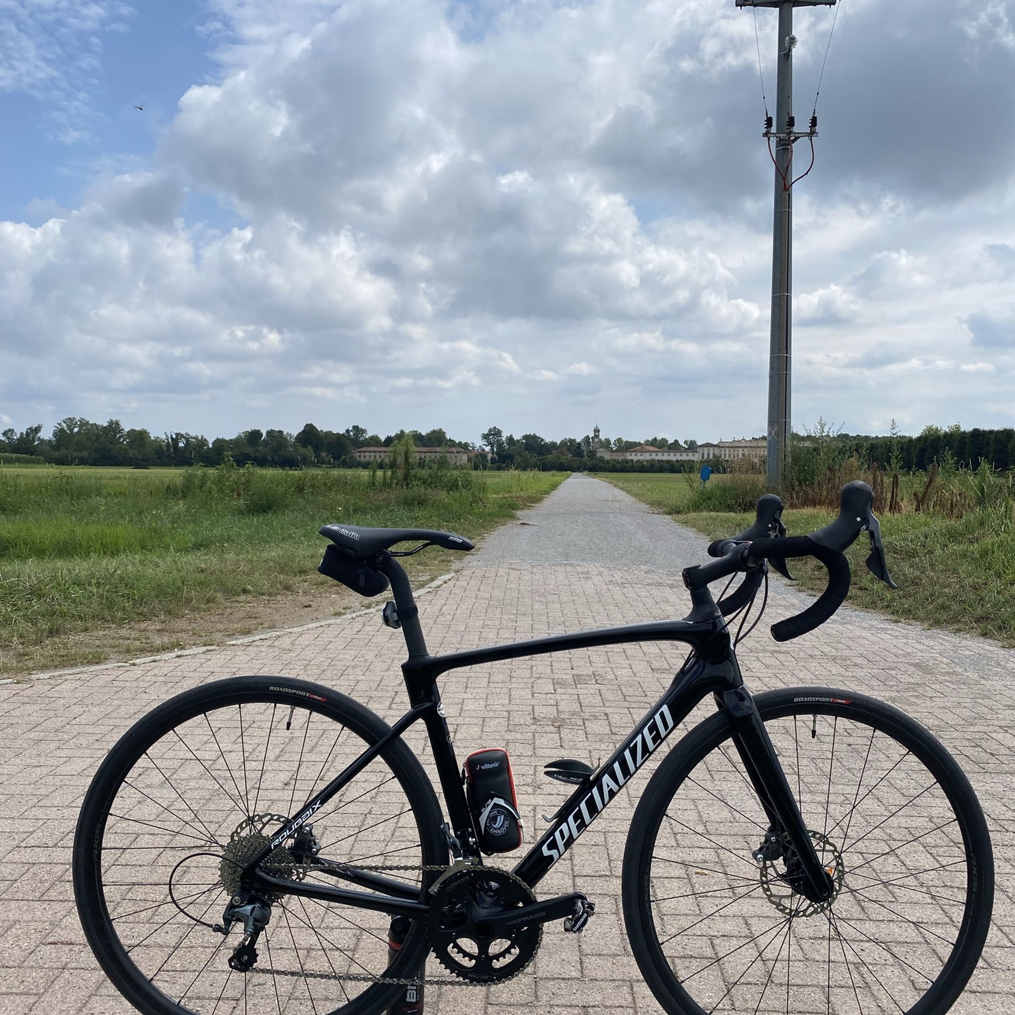
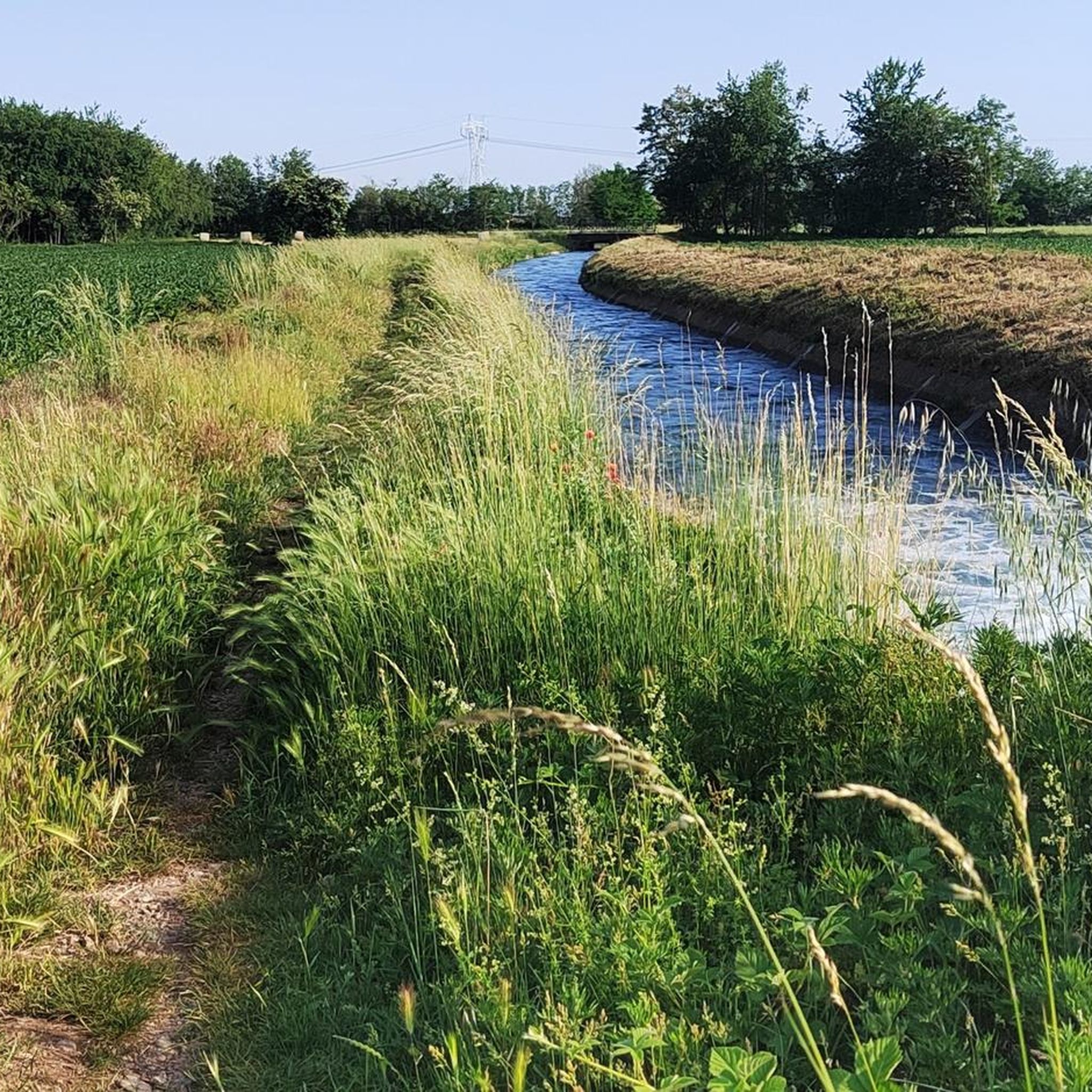

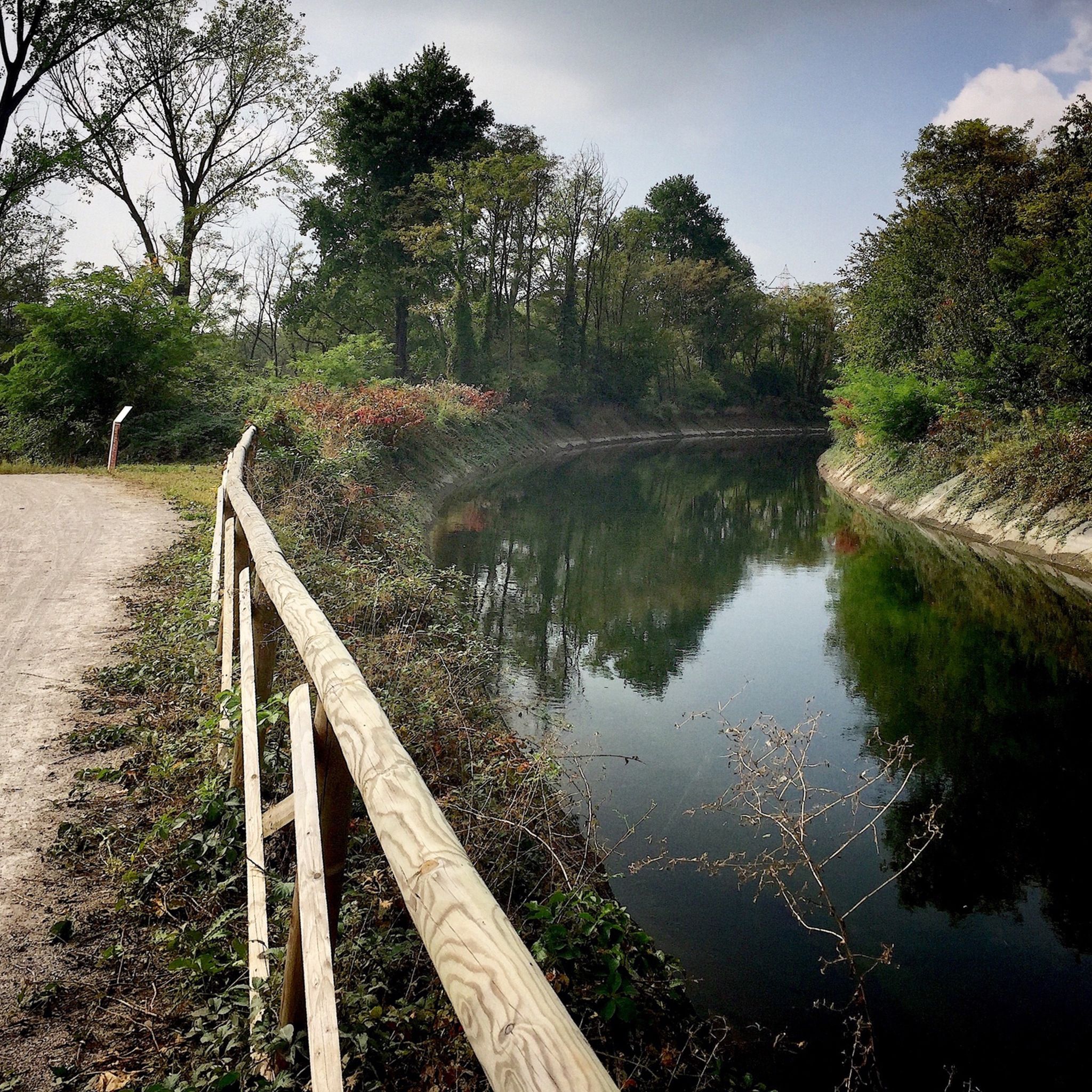

Tips from the Community

The Strada Alzaia Canale Villoresi is a service road of about 85-90 km that runs along the canal from Somma Lombardo (VA) to Cassano d'Adda (MI), managed by the Consorzio Est Ticino Villoresi. Although it is widely used by cyclists and walkers, it is not a real cycle path but a road for mixed use and maintenance.
0
0


Beautiful 🌈 to ride on the Cycle 🚴 Pedestrian 🚶
1
0
Views from the Olona River Bridge🌊
0
0

A leap into 1176 with the Battle of Legnano
3
0

The intersection between the Olona river and the Villoresi Canal occurs in the Alto Milanese area, specifically between the municipalities of Parabiago, Nerviano, and San Vittore Olona. This area is characterized by the intersection of local cycle paths (such as the Olona Greenway) and the long irrigation canal, offering naturalistic and historical routes.
1
0
The Parco della Rosa Camuna in Lainate (MI) is a green area of 52,000㎡ known for its artificial pond in the shape of a Rosa Camuna, the symbol of Lombardy. Fed by the Villoresi canal, the park offers cycle and pedestrian paths, wooden walkways, and wooded areas, consolidating the relationship between the Lura stream and the Villoresi canal. The Rosa Camuna is one of the most famous rock carvings in Valcamonica, dating back to the Iron Age (7th-6th century BC). It represents a four-armed whirligig with 9 cupels (dots) and often symbolizes a star, and has been adopted by the Lombardy Region as its own emblem.
1
0
When you pass by, you always glance at the beautiful Mill.
1
0
Frequently Asked Questions
How many hiking trails are available in Parco dei Mulini?
There are over 320 hiking routes available in Parco dei Mulini, offering a wide range of options for exploring the area's waterways and green corridors.
What is the typical terrain like for hiking in Parco dei Mulini?
The terrain in Parco dei Mulini is generally flat, with minimal elevation changes. Trails primarily follow the Villoresi Canal and Olona River, characterized by towpaths and riverine landscapes. This makes the area accessible for various activity levels.
Are there easy hiking options suitable for beginners or casual walkers?
Yes, Parco dei Mulini is very suitable for beginners and casual walkers. Out of the 327 available routes, 191 are classified as easy. An example of an easy route is the Bridge over the Olona River – Towpath of the Villoresi Canal loop from Nerviano, which is 4.3 km long.
Can families with children enjoy hiking in Parco dei Mulini?
Absolutely. The generally flat terrain and numerous easy routes make Parco dei Mulini an excellent choice for families with children. The paths along the canals and through parklands provide a safe and enjoyable environment for all ages.
What kind of natural features or landmarks can I expect to see along the trails?
Hikers can expect to see a landscape defined by its network of canals, particularly the Villoresi Canal and Olona River. Notable landmarks include the Towpath of the Villoresi Canal and the Olona Greenway Trail. You might also encounter historical sites like Visconti Castle, Legnano, and the Church of the Immaculate Conception.
Are there any circular hiking routes in Parco dei Mulini?
Yes, many of the routes in Parco dei Mulini are designed as loops. For instance, the Villoresi Canal – Fountain at Villa Litta loop from Nerviano is a popular circular route, as is the Villoresi Canal – Rosa Camuna Pond loop from Garbatola.
How long do hikes typically take in Parco dei Mulini?
Hike durations vary depending on the route and your pace. Many popular routes, such as the Towpath of the Villoresi Canal – La Barsanella loop from Nerviano, can be completed in about 3 hours. Shorter, easy walks might take less than 2 hours, while longer moderate trails could extend to 3-4 hours.
What do other hikers say about the trails in Parco dei Mulini?
The trails in Parco dei Mulini are highly rated by the komoot community, with an average score of 4.1 stars from over 690 reviews. Hikers often praise the peaceful canal-side paths, the accessibility of the routes, and the blend of natural scenery with historical points of interest.
Is Parco dei Mulini suitable for dog walking?
While specific regulations for dogs can vary by exact location within the park, the open nature of the canal towpaths and parklands generally makes Parco dei Mulini a dog-friendly area. It's always advisable to keep dogs on a leash and clean up after them.
What is the best time of year to go hiking in Parco dei Mulini?
Given the region's climate, spring and autumn are generally the most pleasant seasons for hiking in Parco dei Mulini, offering mild temperatures and beautiful scenery. Summer can be warm, but the shaded canal paths can provide some relief. Winter hikes are also possible, though some paths might be muddy.
Are there any historical sites to explore near the hiking trails?
Yes, the area offers a blend of natural beauty and historical interest. You can explore sites like Visconti Castle, Legnano, which is featured on routes like the Visconti Castle, Legnano – Castello Park loop from Parabiago. The historical significance of the Villoresi Canal itself also adds to the experience.
Most popular routes around Parco dei Mulini
Most popular attractions around Parco dei Mulini

Get inspired with the komoot mobile app


Explore more
Browse the best Hikes in other regions.
