The best gravel rides around Trun
4.5
(25)
267
riders
12
rides
Gravel biking around Trun offers diverse landscapes within Switzerland's Surselva region, characterized by varied mountain scenery and engaging natural features. Routes often follow the Vorderrhein river, traversing gravel banks and cool groves. The terrain combines flowing gravel paths, forest roads, and occasional singletrack sections, with significant climbs and long descents. This area provides a mix of challenging and enjoyable routes for gravel cyclists.
Best gravel bike trails around Trun
- The most popular gravel bike trail is Brigels Bella Vista,…
Last updated: August 12, 2026
3.0
(2)
11
riders
9.26km
00:53
240m
240m
Moderate gravel ride. Good fitness required. Mostly paved surfaces. Suitable for all skill levels.
4.5
(2)
33
riders
51.9km
04:12
1,470m
1,470m
Hard gravel ride. Very good fitness required. Mostly paved surfaces. Suitable for all skill levels.

Sign up for free
5.0
(3)
40
riders
74.6km
04:35
940m
940m
Hard gravel ride. Very good fitness required. Mostly paved surfaces. Suitable for all skill levels.
4.5
(2)
31
riders
33.4km
02:17
770m
770m
Hard gravel ride. Very good fitness required. Mostly paved surfaces. Suitable for all skill levels.
22
riders
40.9km
02:37
700m
700m
Hard gravel ride. Very good fitness required. Mostly paved surfaces. Suitable for all skill levels.
Get access to more routes and recommendations from other explorers.
Sign up for free
Already have an account?
Our route recommendations are based on thousands of hikes, rides, and runs completed by other people on komoot.
Start today with a free account
Your next adventure awaits.
Login or Signup
Popular around Trun
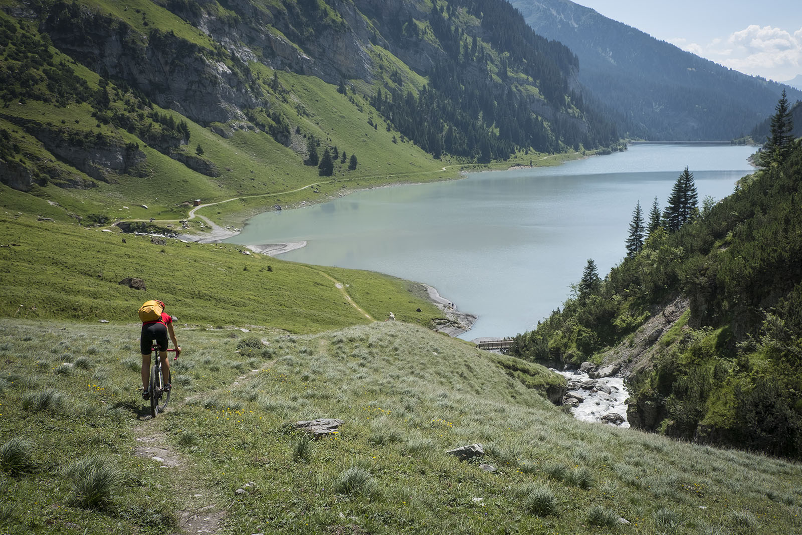
Through gravel and asphalt in Surselva — Loop through the Upper Grisons

Winter Magic in the Surselva – peace, space and pure nature
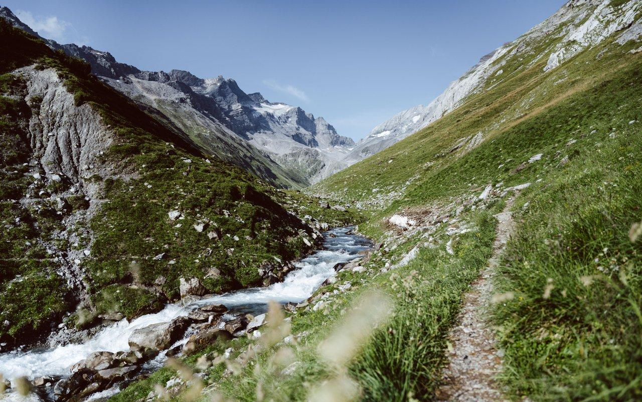
Relax and enjoy – hiking highlights of the Surselva
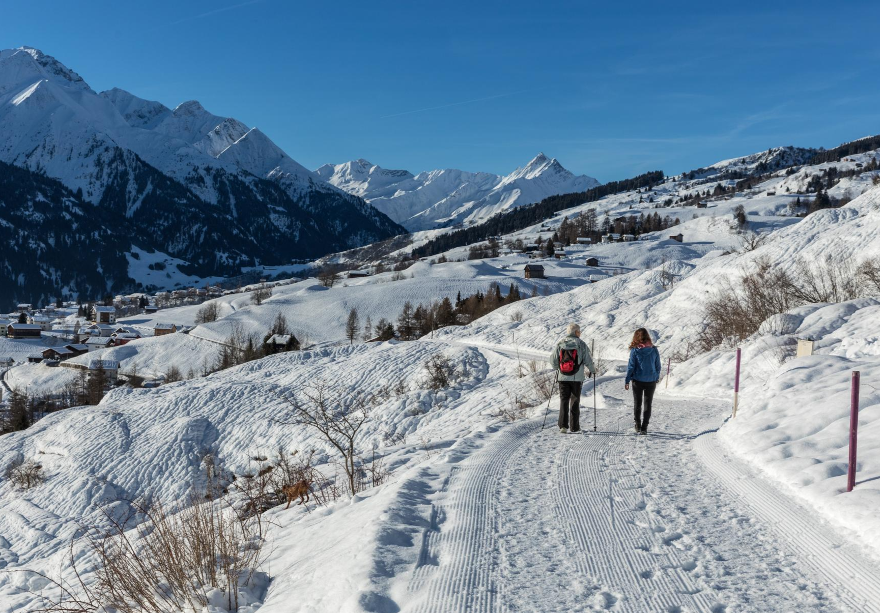
A winter mountain paradise – discover the Surselva

On ancient paths towards Santiago — the Way of St. James Graubünden
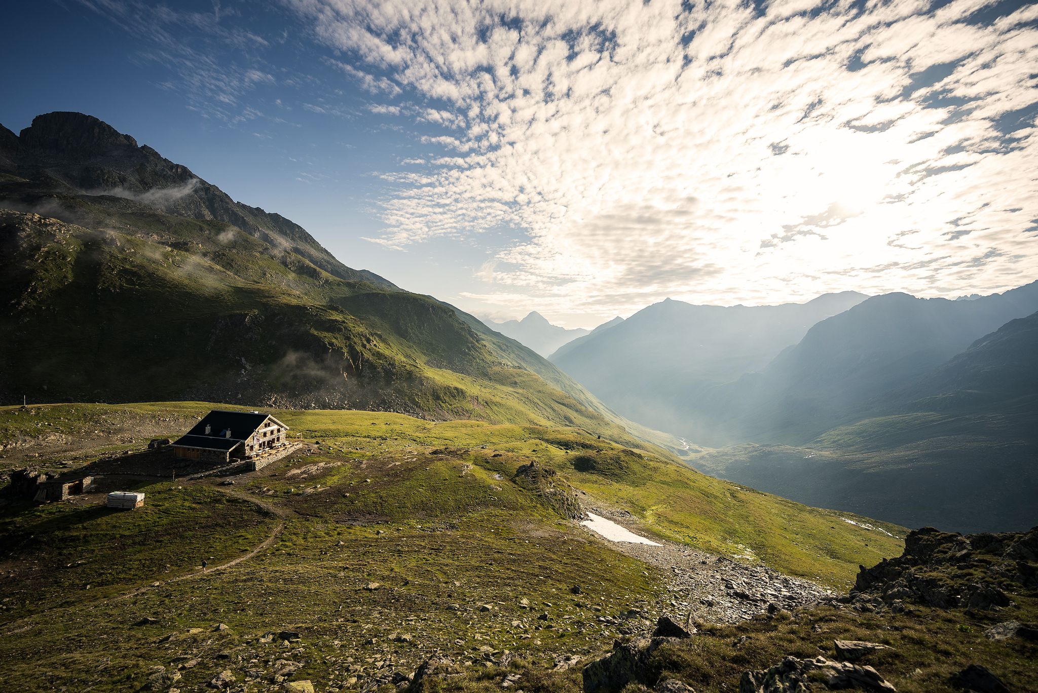
Hüttenzauber und Bergstille – Weitwandern in Graubünden
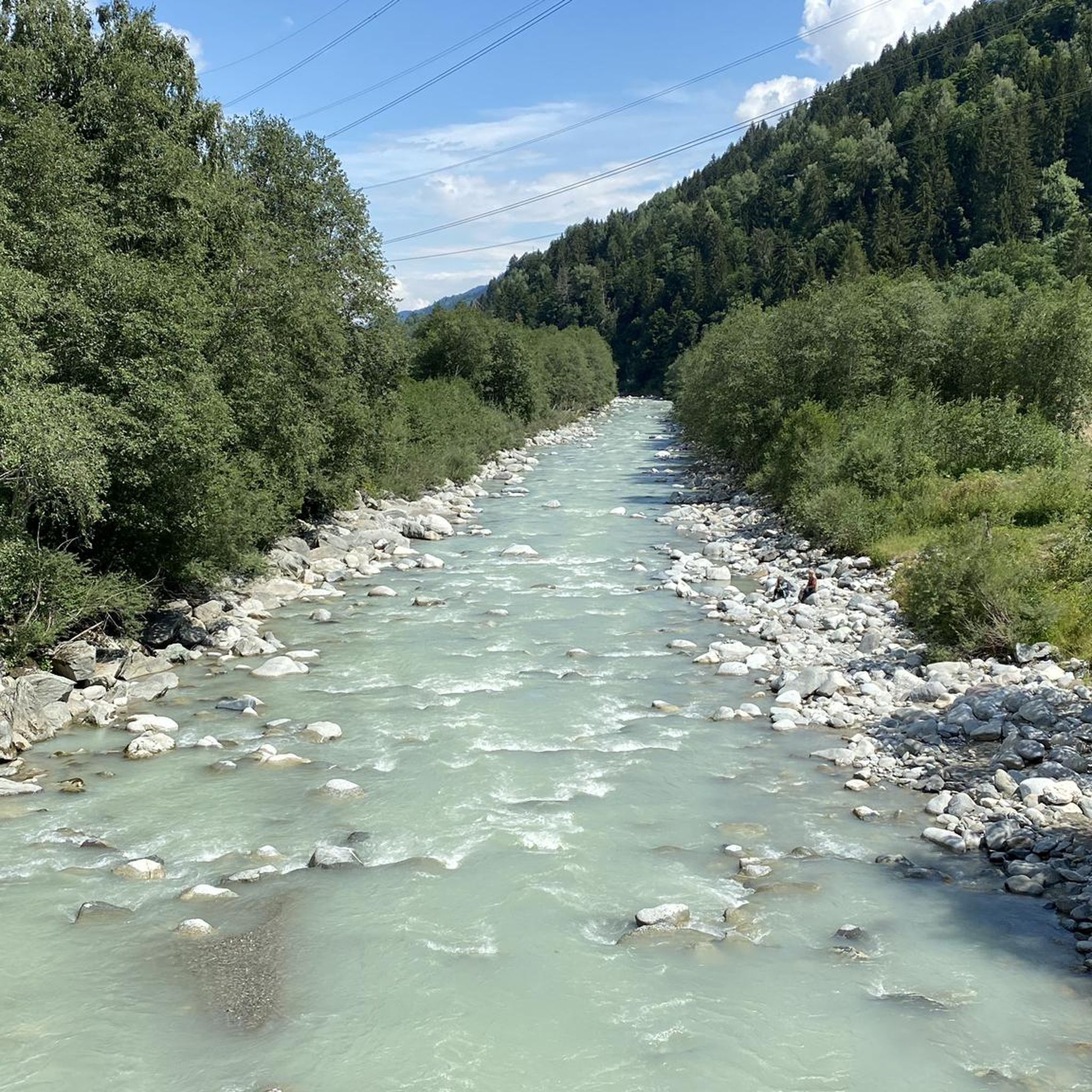
Hiking around Trun
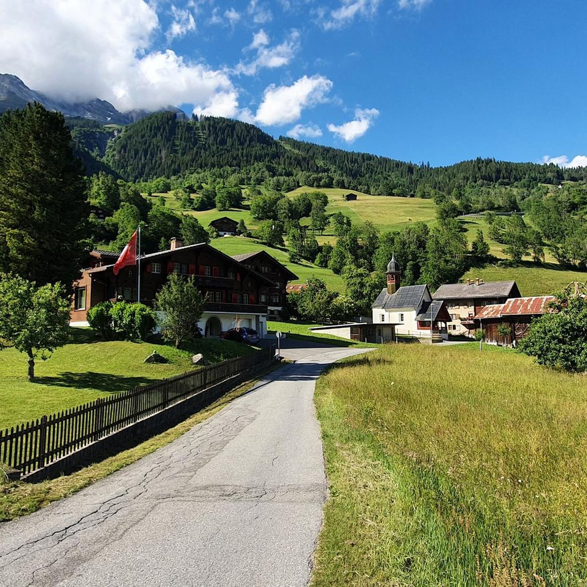
MTB Trails around Trun
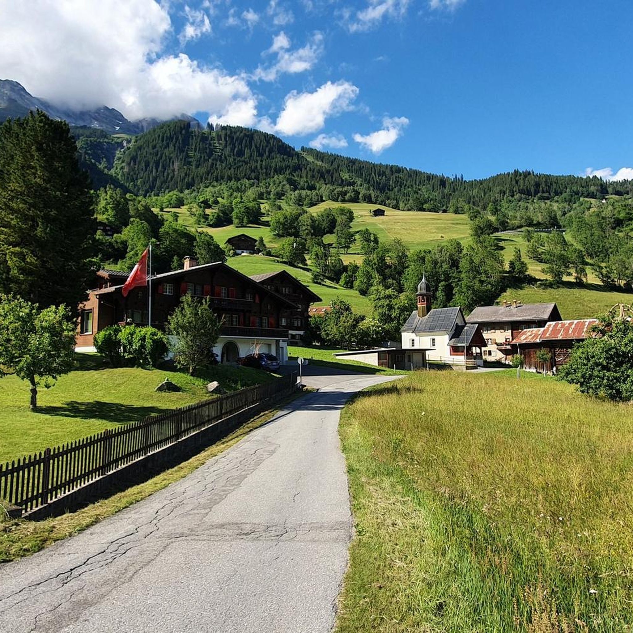
Road Cycling Routes around Trun
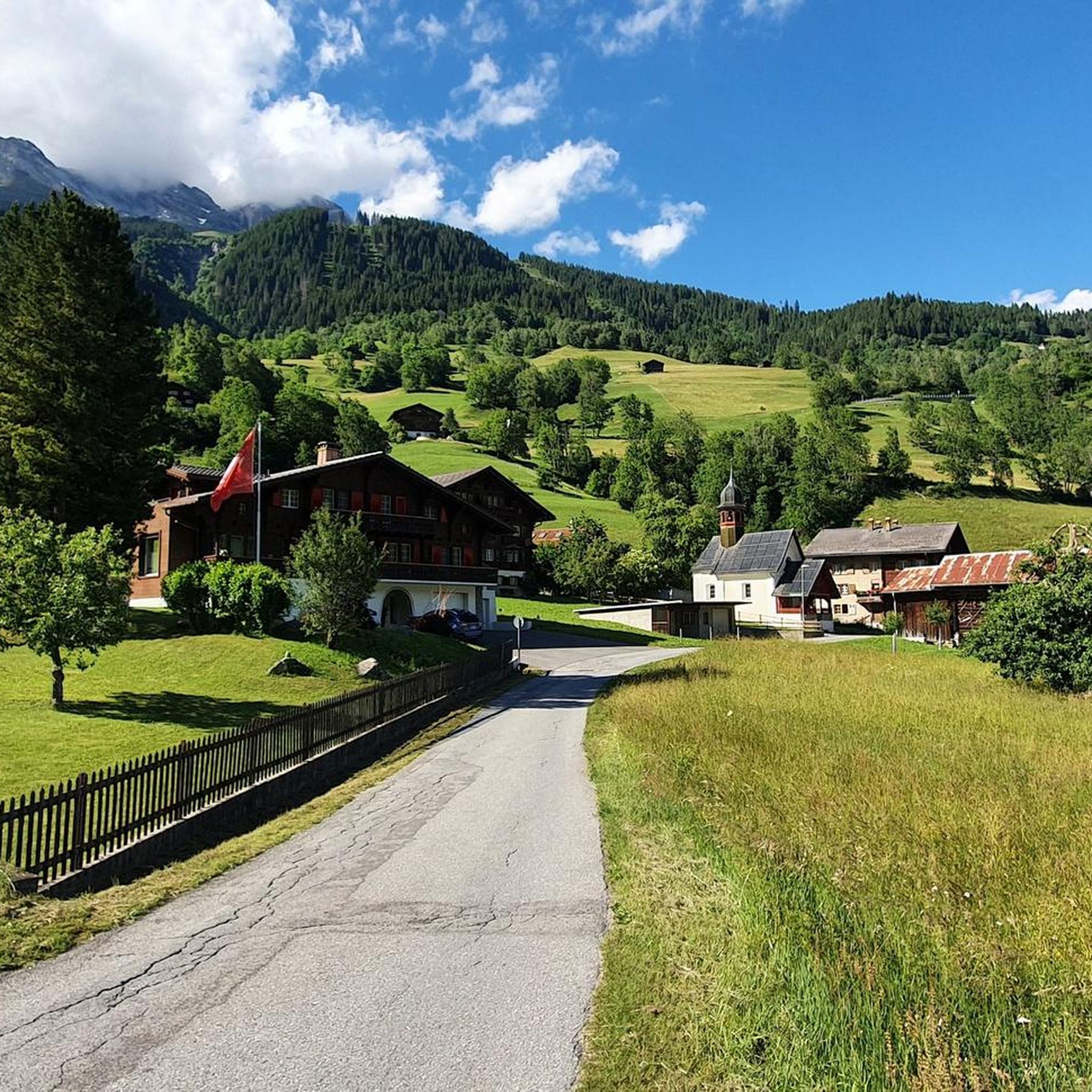
Cycling around Trun
Other adventures around Trun


Tips from the Community

The Lag da Breil, or Brigelsersee in German, lies at around 1,255 m above sea level, directly above Brigels. The lake, approximately 500 meters long and up to 140 meters wide, was created as a reservoir in 1946 and is used for energy production. The lake is fed and drained by the Flem river. Despite its function as a reservoir, the Lag da Breil appears very idyllic and blends beautifully into the landscape around Brigels. A pleasant walking path leads all the way around the lake. Important: Swimming is not allowed in the reservoir.
0
0
Brigels, in Romansh Breil, lies on a sunny terrace at around 1,300 m above sea level and, with its old houses around the parish church, has certainly retained its original village character. However, I also noticed today that Brigels is significantly more tourist-oriented than I had expected. Numerous holiday apartments, hotels, and tourist facilities are located around the village. As a result, the place sometimes seems less quiet and original than one might expect from a mountain village. Nevertheless, Brigels is beautifully situated in terms of landscape and offers a good starting point for hikes in the Surselva.
0
0

Wonderful gravel section, almost entirely in the forest and very quiet. Nevertheless, easy to ride as there are hardly any climbs.
0
0
The Vorderrhein, as a young Rhine, is still a wild, impetuous mountain stream here and has the color of glacial water. Beautiful!
0
0

Nice cozy accommodation Chesa Prema with excellent food and breakfast
0
0

The rest of the "Old Town" doesn't need to be seen as it has too many architectural sins.
0
0

After the big climb to get to this village, we were very happy to find a public drinking fountain to fill up our water bottles!
0
0

The Upper Gate provides access to and from the old town of Ilanz. It was built in the Middle Ages and was one of four gates providing access to the town. Today, two of these city gates still exist: the beautifully painted Upper Gate and the more modest Red Gate.
0
0
Frequently Asked Questions
How many gravel bike trails are available around Trun?
The Trun area offers a diverse network of over 10 gravel bike trails, catering to various skill levels. You'll find a mix of moderate and challenging routes, with the majority being more difficult, providing rewarding experiences for experienced riders.
What is the best time of year for gravel biking in Trun?
The ideal time for gravel biking in Trun is typically from late June to mid-October. During these months, the alpine summer conditions are most favorable, offering pleasant weather for exploring the region's varied landscapes.
Are there any family-friendly gravel bike routes in Trun?
While many routes in Trun are challenging, there is at least one moderate option suitable for those looking for a less strenuous ride. The Brigels Bella Vista trail is a moderate 5.8-mile (9.3 km) route that offers scenic views and is a good choice for families or those new to gravel biking.
What kind of natural landmarks can I expect to see along the gravel trails?
Gravel routes in Trun often follow the Vorderrhein river, offering picturesque stretches along gravel banks. You can also experience the spectacular views of the Rhine Gorge, often called the "Swiss Grand Canyon." Other notable features include the expansive views from the Bündner Rigi and the characteristic huts of Alp Nova. Some routes also pass by idyllic spots like the bathing lake Davos Munts.
Are there any circular gravel bike routes in the Trun area?
Yes, the region features several engaging circular routes. For instance, the challenging Rheinschwelle – Rein Anteriur loop from Waltensburg/Vuorz is a substantial 44.8-mile (72.1 km) path that explores varied terrain along the Vorderrhein. Another option is the View of Disentis Abbey – Cavadiras Village and Church loop from Tavanasa-Breil/Brigels, a 25.4-mile (40.9 km) trail through mountain valleys.
What cultural or historical sights can be found near the gravel bike trails?
The Surselva region integrates cultural and historical sights into its natural routes. You might pass through authentic traditional villages like Morissen and Vella, offering glimpses into local culture. Additionally, there are several historical castles in the wider area, such as the Kropfenstein Castle Ruins (Casti Grotta) or Jörgenberg Castle Ruins, which add a historical dimension to your ride.
What do other gravel bikers enjoy most about the Trun trails?
The gravel biking experience around Trun is highly rated by the komoot community, with an average score of 4.8 stars. Riders frequently praise the diverse landscapes, the untouched mountain scenery, and the engaging mix of flowing gravel paths, forest roads, and occasional singletrack sections. The breathtaking vistas after significant climbs are also a common highlight.
Are there any long-distance or challenging gravel routes for experienced riders?
Absolutely. For experienced riders seeking a challenge, the Trun area offers several difficult and extensive routes. An example is the Falera – St. Zeno's Church, Ladir loop from Andiast, which covers 45.6 miles (73.4 km) with significant elevation changes, providing a demanding yet rewarding experience through varied terrain.
Can I access the gravel bike trails using public transport?
Trun is situated in the Surselva region, which generally has good public transport connections within Switzerland. While specific public transport links to every trailhead are not detailed here, the region's infrastructure often allows for combining cycling with train or bus travel, especially to larger villages that serve as starting points for many routes.
Are there any specific viewpoints or panoramic spots along the routes?
Yes, the region is known for its panoramic views. The Rhine Gorge offers spectacular vistas, particularly from vantage points like the chapel Sogn Carli on the Bündner Rigi. Many routes involve significant climbs that reward riders with breathtaking views over the surrounding mountain landscape and valleys like Val Lumnezia.
What is the typical terrain like on Trun's gravel bike trails?
The terrain around Trun is highly varied, designed to suit the versatility of gravel bikes. You'll encounter a mix of flowing gravel paths, quiet forest roads, and occasional singletrack sections. Routes often feature significant climbs leading to high points like Alp Nova, followed by long, enjoyable descents into valleys, all set amidst a mosaic of forests, woodlands, and open landscapes.
Most popular attractions around Trun

Get inspired with the komoot mobile app


Explore more
Browse the best Gravel rides in other regions.
