The best mountain hikes around Trun
5.0
(2)
64
hikers
6
hikes
Mountaineering around Trun offers challenging routes within the Surselva region, characterized by alpine valleys and rugged mountain terrain. The area features significant elevation gains, leading to high-altitude passes and panoramic viewpoints. These routes often traverse varied landscapes, including rocky ascents and open mountain flanks. The region provides a demanding environment for experienced mountaineers seeking substantial climbs.
Best mountaineering routes around Trun
- The most popular mountaineering route is Val Frisal Suspension Bridge loop from Puzzatsch, an 8.0 miles (13.0 km)…
Last updated: September 26, 2026
5.0
(1)
19
hikers
10.9km
05:48
860m
860m
Hard mountaineering route. Very good fitness required. Sure-footedness, sturdy shoes and alpine experience required.
21
hikers
16.7km
06:47
990m
990m
Hard mountaineering route. Very good fitness required. Sure-footedness, sturdy shoes and alpine experience required.

5.0
(1)
7
hikers
12.7km
05:44
1,090m
1,090m
Hard mountaineering route. Very good fitness required. Sure-footedness, sturdy shoes and alpine experience required.
7
hikers
14.8km
06:47
930m
930m
Hard mountaineering route. Very good fitness required. Sure-footedness, sturdy shoes and alpine experience required.
5
hikers
16.7km
08:46
1,130m
1,130m
Hard mountaineering route. Very good fitness required. Sure-footedness, sturdy shoes and alpine experience required.
Our route recommendations are based on thousands of hikes, rides, and runs completed by other people on komoot.
Start today with a free account
Your next adventure awaits.
Popular around Trun
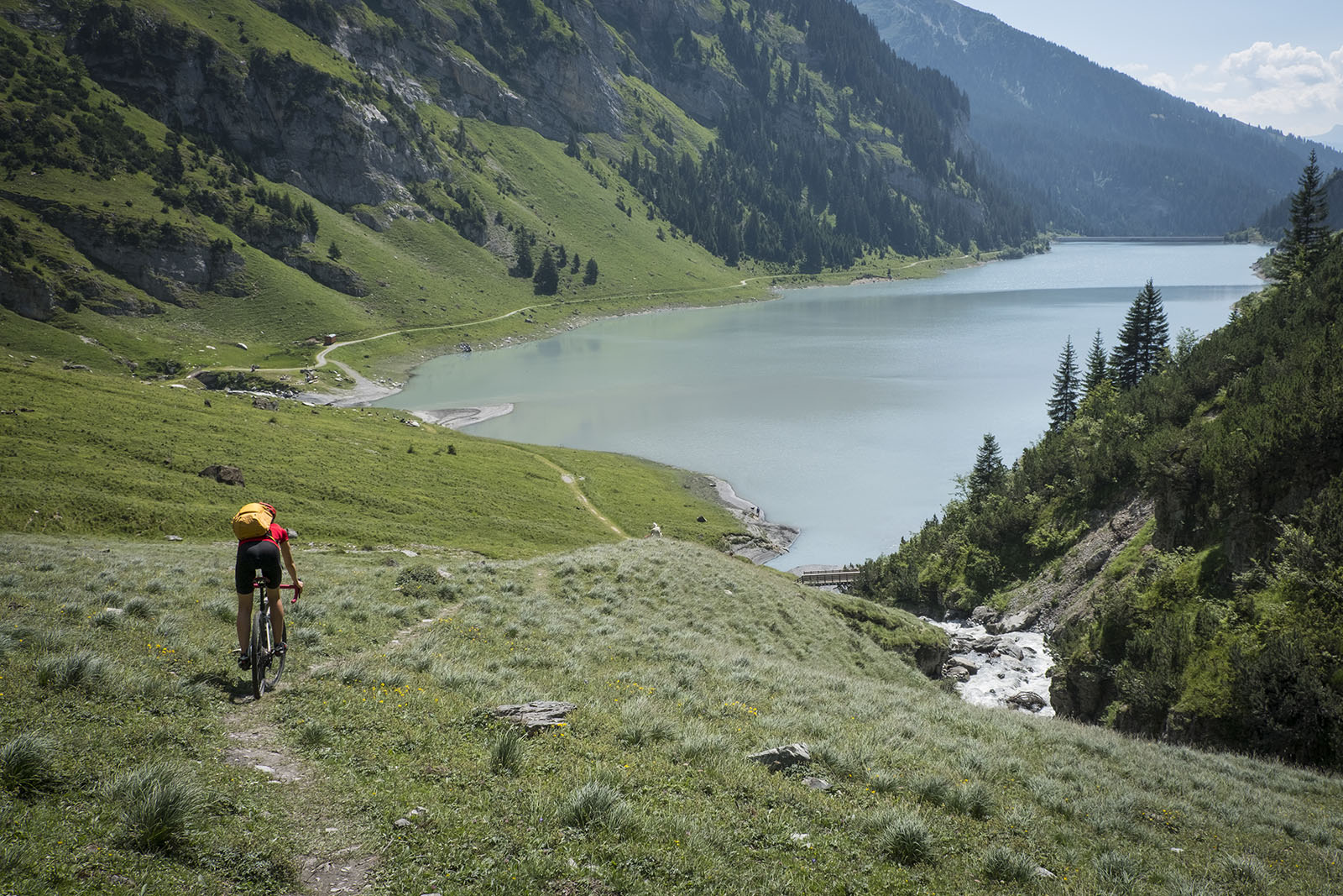
Through gravel and asphalt in Surselva — Loop through the Upper Grisons

Winter Magic in the Surselva – peace, space and pure nature
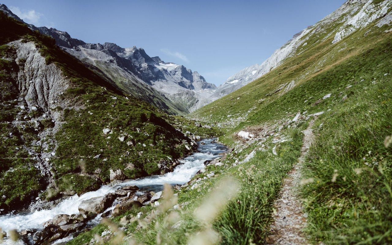
Relax and enjoy – hiking highlights of the Surselva
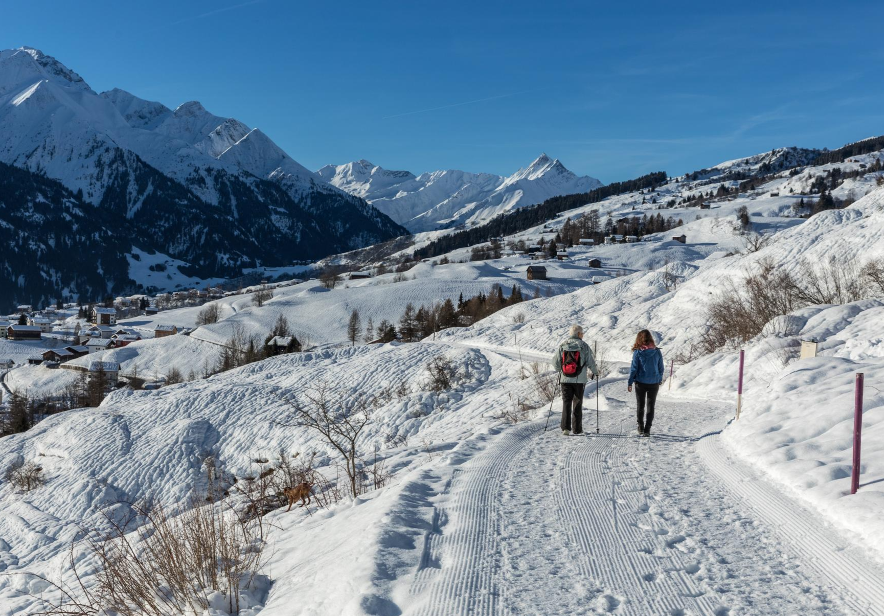
A winter mountain paradise – discover the Surselva

On ancient paths towards Santiago — the Way of St. James Graubünden
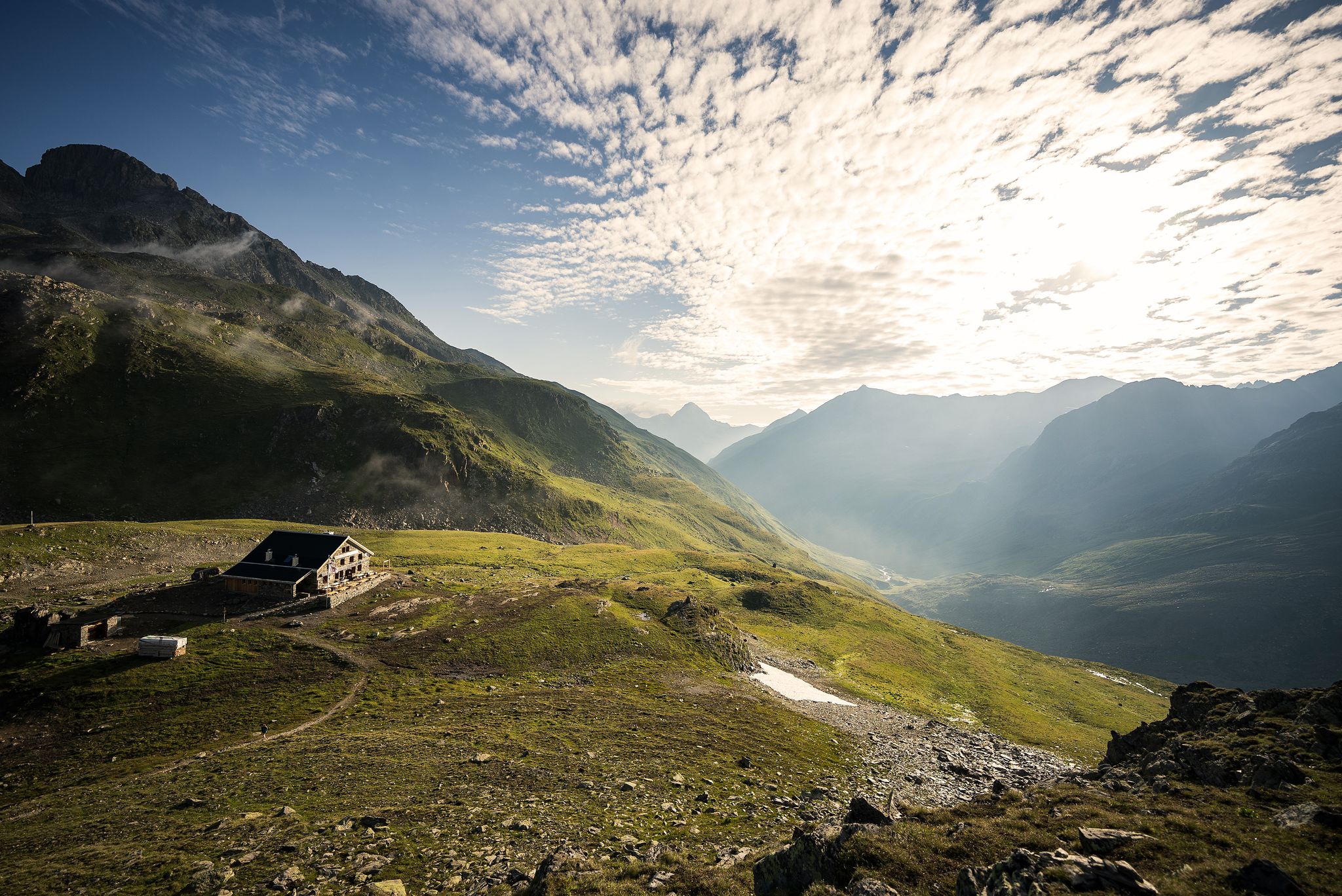
Hüttenzauber und Bergstille – Weitwandern in Graubünden
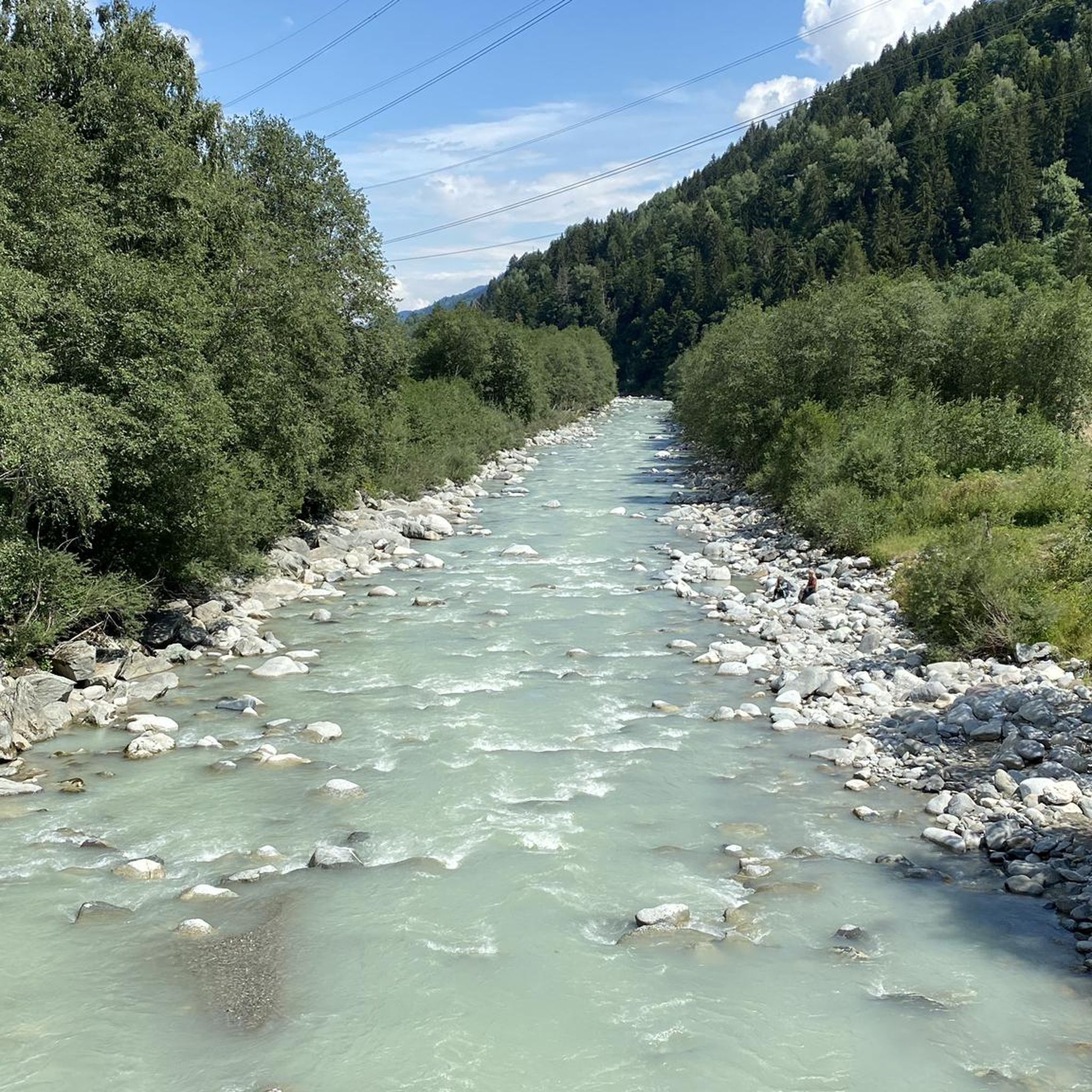
Hiking around Trun
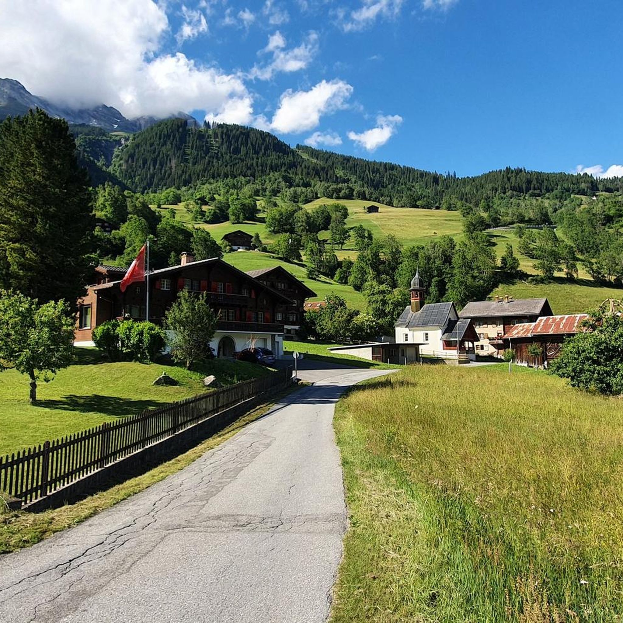
Road Cycling Routes around Trun
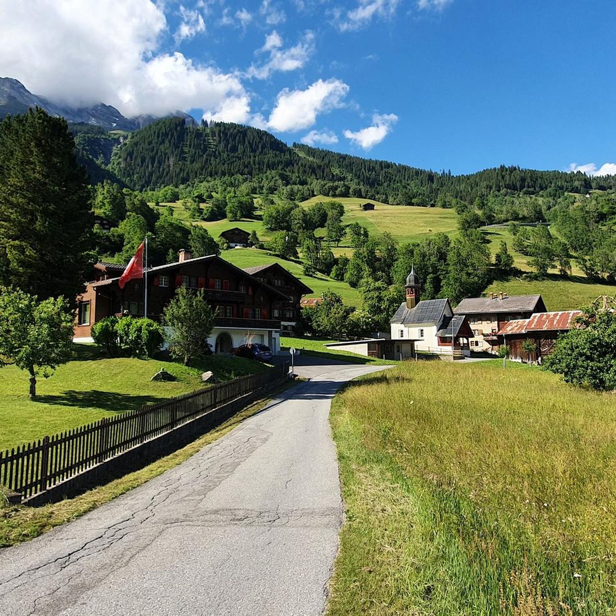
MTB Trails around Trun

Gravel biking around Trun
Other adventures around Trun


Tips from the Community

glorious how everything then opens up. with the view of the lake
0
0
very steep, sure-footedness and a head for heights are required.
0
0

Frequently Asked Questions
What are the typical difficulty levels for mountaineering routes around Trun?
Mountaineering around Trun is primarily geared towards experienced individuals, with the majority of routes classified as difficult. There are a few moderate options available for those looking for slightly less demanding ascents, but the region is known for its challenging alpine terrain and significant elevation gains.
When is the best time of year for mountaineering in Trun?
The best time for mountaineering in Trun is generally during the summer months, from late June to September, when trails are typically free of snow and weather conditions are more stable. The rugged alpine environment means that winter mountaineering requires specialized equipment and expertise due to snow, ice, and avalanche risks.
Are there any family-friendly mountaineering routes in Trun?
Given the challenging nature of the terrain, with most routes being classified as difficult, Trun is not typically considered ideal for family-friendly mountaineering with young children. The two moderate routes, such as the Medelserhütte loop from Ortsbild Curaglia (Medel), might be suitable for families with older, experienced children who are accustomed to alpine hiking.
Can I find circular mountaineering routes in the Trun area?
Yes, many of the mountaineering routes around Trun are designed as circular loops, allowing you to start and end at the same point. Examples include the popular Val Frisal Suspension Bridge loop from Puzzatsch and the Muttsee and AlpinSolar Plant – View of Limmernsee loop from Kalktrittli.
What natural attractions can I discover near the mountaineering routes in Trun?
The Trun area is rich in natural beauty. You can find stunning waterfalls like the Schreyenbachfall or the Aua dil Mer Waterfall. The region also features beautiful alpine lakes such as Griesslisee and the impressive Muttsee Reservoir, which you can encounter on routes like the Muttsee and AlpinSolar Plant – View of Limmernsee loop.
Where are the main trailheads and parking areas for mountaineering in Trun?
Trailheads for mountaineering routes in Trun are typically found in villages or accessible points within the valleys. Common starting points mentioned in routes include Puzzatsch, Kalktrittli, Burleun, and Ortsbild Curaglia (Medel). Parking availability varies, so it's advisable to check local signage or specific route descriptions for details before your trip.
Do I need any special permits for mountaineering in the Trun area?
Generally, no specific permits are required for mountaineering on established trails in the Trun area. However, it's always good practice to check for any local regulations, especially if you plan to venture into protected areas or undertake more technical climbs that might require specific permissions or guides.
Are there opportunities for wild swimming near the mountaineering routes?
While the region features numerous alpine lakes and waterfalls, such as Griesslisee and Muttsee Reservoir, these are often very cold due to their high altitude. Always exercise caution and check local regulations regarding swimming in natural bodies of water.
What do other mountaineers appreciate most about the routes around Trun?
The mountaineering routes around Trun are highly rated by the komoot community, with an average score of 4.8 stars. Reviewers often praise the challenging alpine ascents, the expansive mountain scenery, and the sense of accomplishment from reaching high-altitude passes and panoramic viewpoints. The rugged and demanding environment is a key draw for experienced mountaineers.
Are there any less crowded mountaineering trails in Trun?
While popular routes like the Val Frisal Suspension Bridge loop can see more traffic, the Surselva region offers many trails. To find less crowded options, consider exploring routes that are not explicitly highlighted as 'most popular' or venturing out during off-peak times, such as weekdays or early mornings. The Kistenstöckli Summit – Bifertenhütte SAC loop from Burleun offers a challenging, yet potentially quieter, experience.
Are there any mountain huts or cafes along the mountaineering routes in Trun?
While specific cafes directly on every route are not guaranteed, many alpine regions in Switzerland feature mountain huts (Hütten) that offer refreshments, meals, and sometimes overnight stays. For example, the Medelserhütte loop passes by the Medelserhütte. It's advisable to check the opening times and availability of such facilities before you embark on your tour.
Most popular attractions around Trun

Get inspired with the komoot mobile app


Explore more
Browse the best Mountain Hikes & Routes in other regions.
