The best gravel rides in the Flat Tops
5.0
(2)
36
riders
8
rides
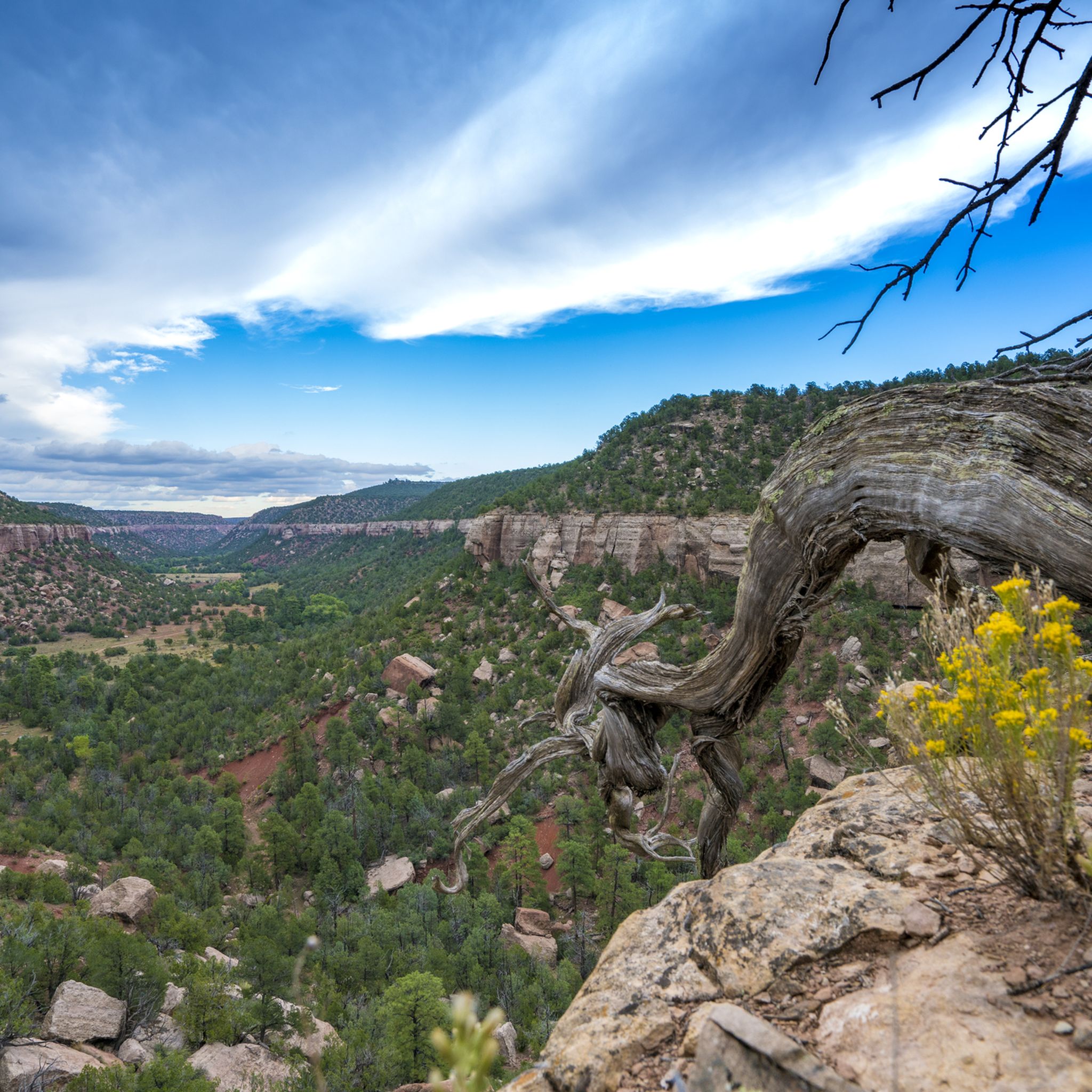
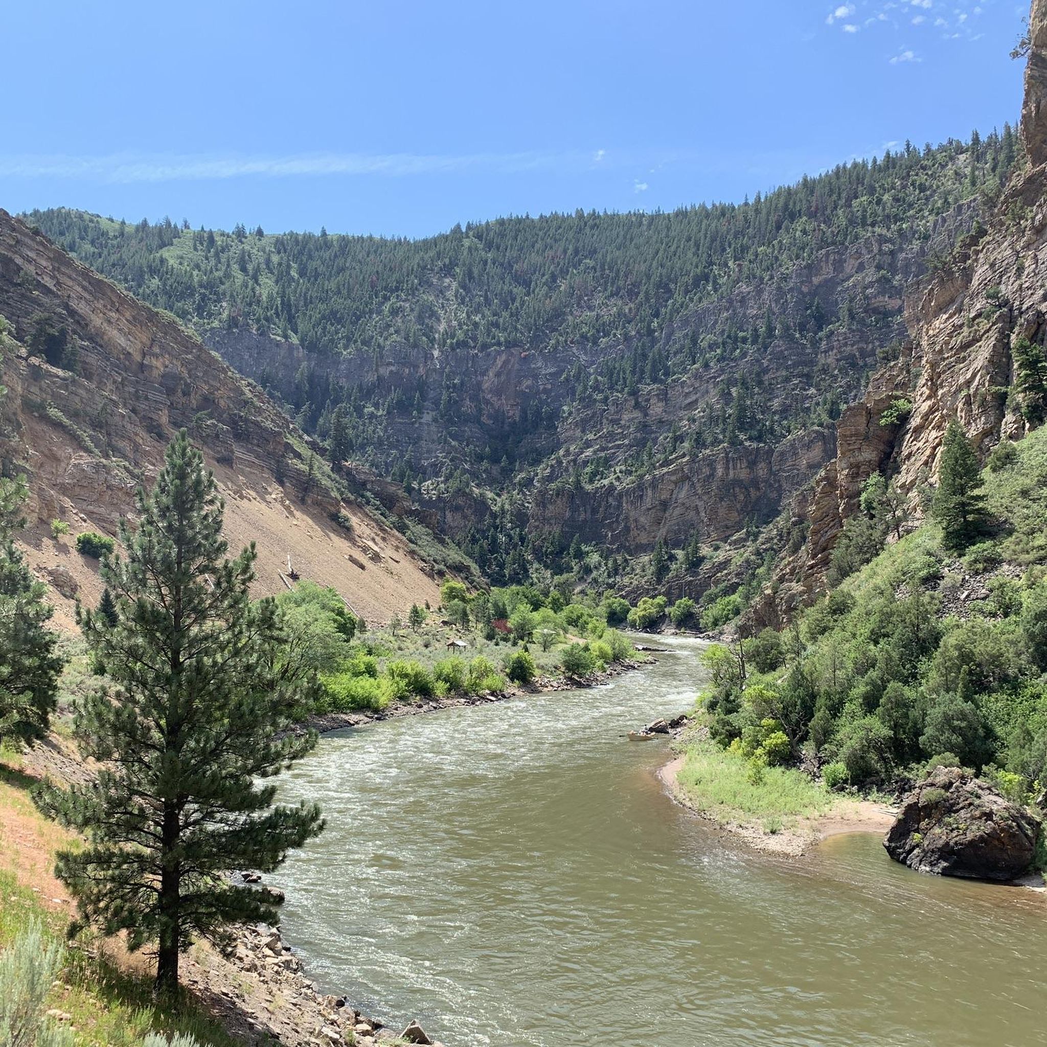
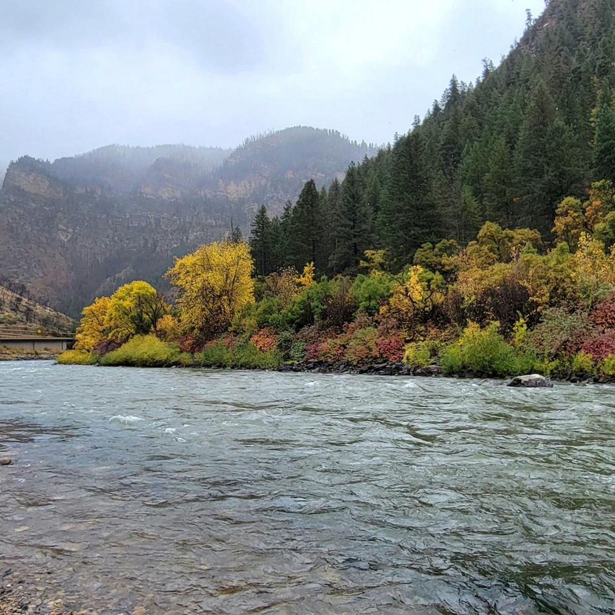
Gravel biking in the Flat Tops offers routes across a high-plateau landscape, shaped by volcanic activity and glaciation. The region features diverse ecosystems, from evergreen and aspen forests at lower elevations to alpine tundra on the plateau. Extensive dirt roads provide varied terrain, including smooth sections and areas described as rough and challenging. Water features such as over 110 lakes and numerous streams are present throughout the area.
Best gravel bike trails in the Flat Tops
- The most popular gravel…
Last updated: May 16, 2026
9
riders
Easy gravel ride. Great for any fitness level. Mostly paved surfaces. Suitable for all skill levels.
7
riders
32.0km
02:58
420m
420m
Moderate gravel ride. Good fitness required. Mostly paved surfaces. Suitable for all skill levels.

Sign up for free
2
riders
22.4km
02:12
360m
360m
Moderate gravel ride. Good fitness required. Mostly paved surfaces. Suitable for all skill levels.
5
riders
91.8km
06:54
1,230m
1,230m
Hard gravel ride. Very good fitness required. Mostly paved surfaces. Suitable for all skill levels.
3
riders
69.9km
06:15
1,160m
1,160m
Hard gravel ride. Very good fitness required. Mostly paved surfaces. Suitable for all skill levels.
5.0
(2)
2
riders
29.7km
01:45
340m
340m
Moderate gravel ride. Good fitness required. Mostly paved surfaces. Suitable for all skill levels.
1
riders
31.5km
02:01
230m
230m
Moderate gravel ride. Good fitness required. Mostly paved surfaces. Suitable for all skill levels.
Our route recommendations are based on thousands of hikes, rides, and runs completed by other people on komoot.
Start today with a free account
Your next adventure awaits.
Login or Signup
Tips from the Community

Great paved access from Sioux Trail to this overlook at the boat ramp. Staging parking area serves as a good starting point for rides around Stagecoach Reservoir
0
0
Well-chosen location to create a large reservoir with a small efficient dam. There's a good trailhead parking staging area. Smooth biking across the dam, then continuing on decent gravel to the south.
0
0

The well-maintained dirt road, which is mostly flat and well-packed, makes a great loop with the Beall and Ridge trails.
0
0
Just off Country Road 45, you will discover the trailhead for the Rotary Loop Trail. This path winds through vibrant fields of wildflowers, offering stunning panoramic views and a chance to encounter wildlife. It's an off-the-beaten-track experience for this neck of the woods.
0
0

Oak Creek is a small ranching town located outside Steamboat Springs, featuring a quaint downtown and tree-lined neighborhoods. Its close proximity to the Routt National Forest makes it a popular hunting and fishing destination.
0
0
Elkhead Reservoir is a 900-acre man-made reservoir located in Elkhead State Park. It is highly popular for activities such as fishing, boating, swimming, jet skiing, and paddleboarding. During certain seasons there is a good chance of spotting wildlife around the reservoir, including elk, pronghorn, and deer
0
0
Hayden is a ranching town near Steamboat Springs that offers easy access to the Medicine Bow-Routt National Forest, as well as the Mount Zirkel and Sarvis Creek wilderness areas. Additionally, it boasts a charming Main Street with shops and restaurants.
0
0
Stagecoach Reservoir is an 820-acre reservoir situated within Stagecoach State Park. It is known for various recreational opportunities such as fishing, boating, and wildlife viewing, alongside great views of the Flat Tops Wilderness.
0
0
Frequently Asked Questions
How many gravel bike trails are available in the Flat Tops region?
There are 8 gravel bike trails available in the Flat Tops region on komoot, offering a range of experiences for different skill levels.
What kind of terrain can I expect on gravel bike trails in the Flat Tops?
The Flat Tops region features a diverse landscape, from smooth dirt roads to sections that can be extremely rough and challenging, sometimes requiring you to dismount and push your bike. You'll encounter high-altitude meadows, extensive dirt roads, and varied forest sections, reflecting the area's volcanic and glacial history.
Are there any beginner-friendly gravel bike routes in the Flat Tops?
While many routes in the Flat Tops are moderate to difficult, the region does offer options for varying skill levels. For a relatively easier ride, consider the Stagecoach Reservoir – Stagecoach Reservoir loop from Stagecoach State Park, which is 9.6 miles long with minimal elevation gain.
What are some challenging gravel bike trails for experienced riders?
Experienced riders looking for a challenge will find several difficult routes. The Oak Creek loop from Milner is a demanding 57-mile trail with significant elevation gain, often taking nearly 9 hours to complete. Another difficult option is the Hayden – Elkhead Reservoir loop from Hayden, covering almost 70 miles with over 1,100 meters of ascent.
What natural landmarks or viewpoints can I see along the gravel bike trails?
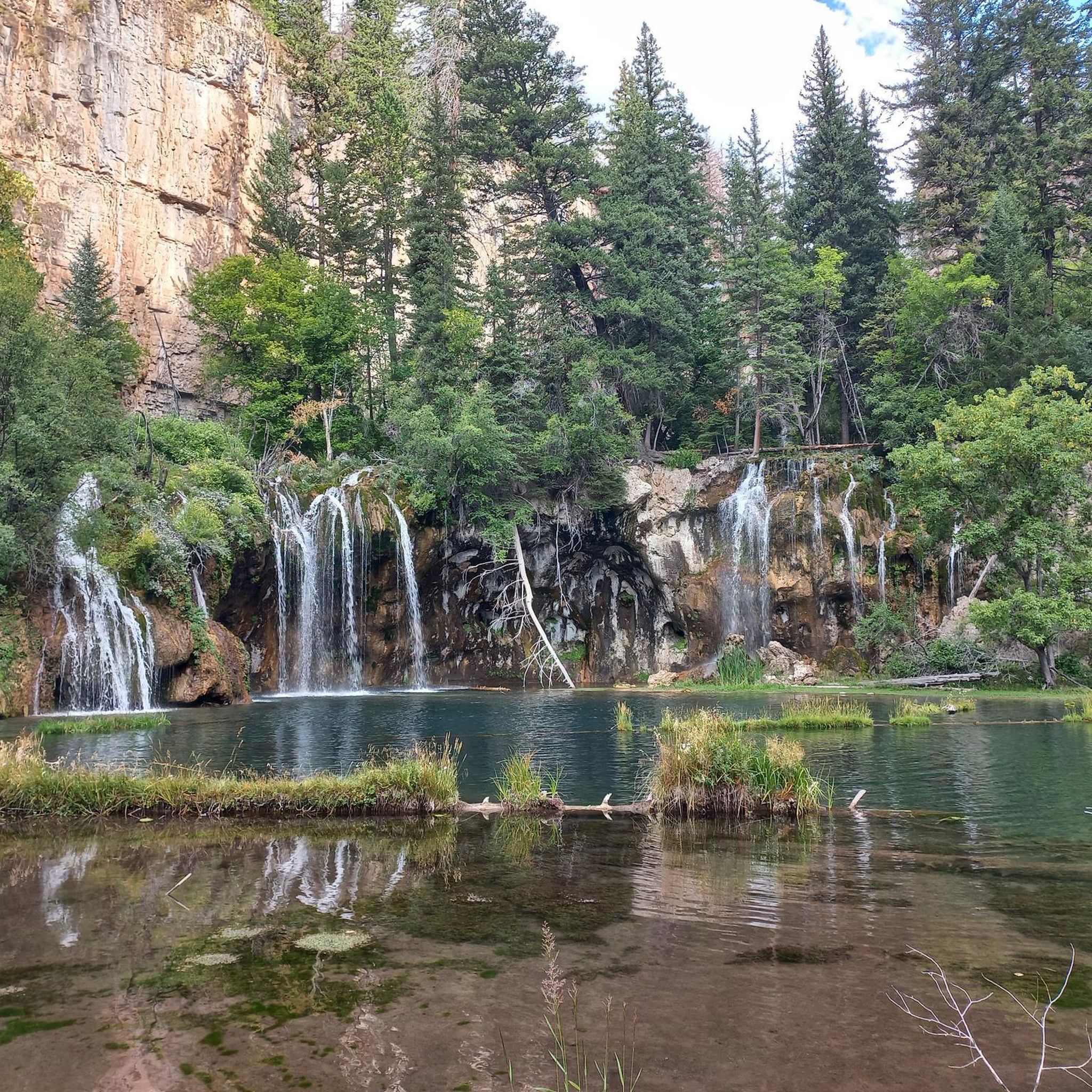
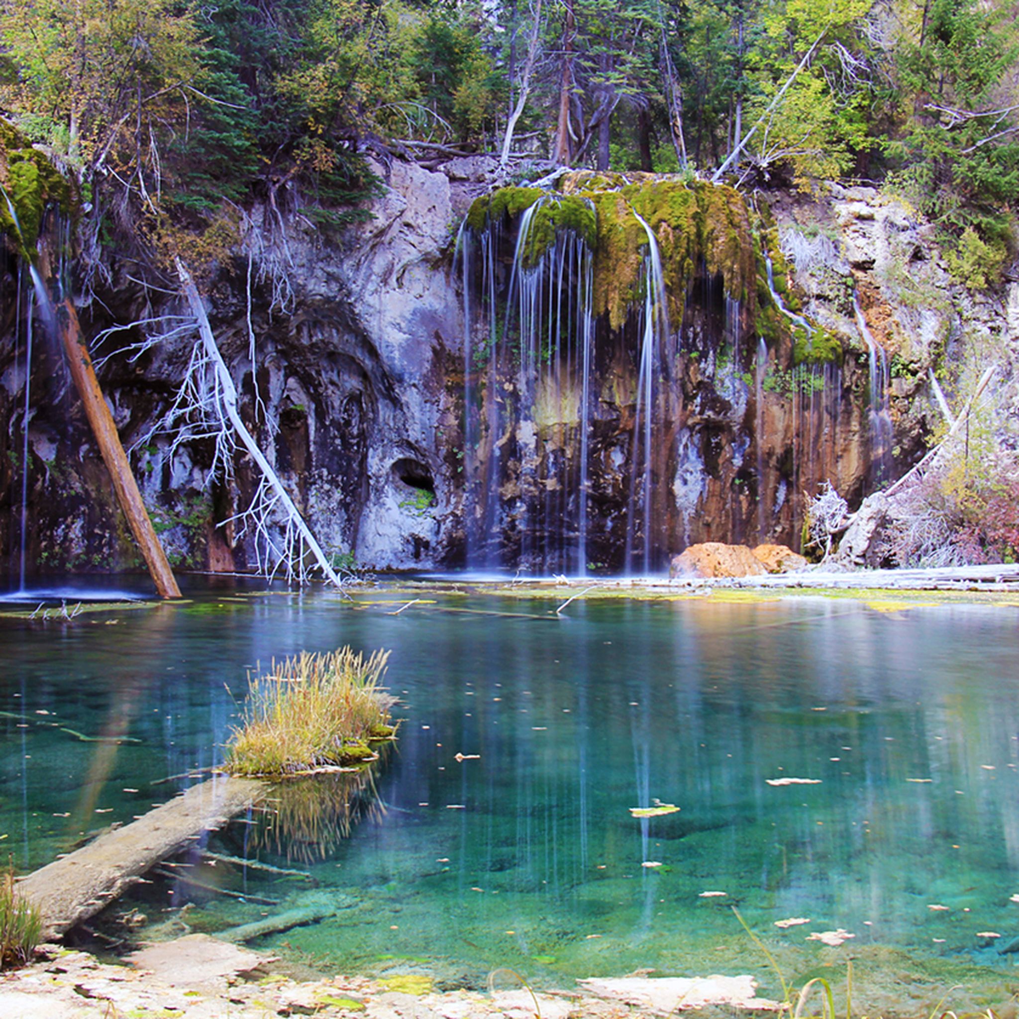
The Flat Tops are rich in natural beauty. You can encounter impressive water features like Trappers Lake, known as the 'Cradle of Wilderness,' or the stunning Rifle Falls. The region also boasts dramatic geological formations such as the Devils Causeway, a narrow rock formation with steep drops, and the Chinese Wall.
What is the best time of year for gravel biking in the Flat Tops?
The best time for gravel biking in the Flat Tops is typically during the warmer months, from late spring through early autumn. During summer, the subalpine meadows are vibrant with wildflowers. Winter conditions can make many trails inaccessible or extremely challenging due to snow and ice.
Are there any family-friendly gravel biking options in the Flat Tops?
While many routes are moderate to difficult, families might enjoy sections of the smoother dirt roads at lower elevations. For a shorter, less strenuous ride, the Stagecoach Reservoir – Stagecoach Reservoir loop from Stagecoach State Park offers scenic views around the reservoir and is classified as easy.
Can I expect to see wildlife while gravel biking in the Flat Tops?
Yes, the Flat Tops region is home to abundant wildlife. You might encounter Colorado's largest elk herd, bighorn sheep, moose, mule deer, and black bears. Mountain lions and marmots are also present. Always be aware of your surroundings and maintain a respectful distance from animals.
Are there any circular gravel bike routes in the Flat Tops?
Many of the gravel bike trails in the Flat Tops are designed as loops, allowing you to start and end at the same point. Examples include the popular Rotary Trailhead – Routt County Road 45 loop from Eagle Soaring RV Park and the longer Oak Creek loop from Milner.
What do other gravel bikers enjoy most about the Flat Tops?
The Flat Tops are highly rated by the komoot community, with an average score of 5.0 stars. Riders often praise the diverse terrain, from smooth dirt roads to challenging sections, and the stunning natural beauty, including high-altitude meadows and extensive water features. The opportunity to explore a unique volcanic landscape is also a significant draw.
Where can I find parking or access points for gravel biking trails?
Access points like Buford Road (County Road 245) and Coffee Pot Road climb onto the plateau and serve as starting points for many routes. Specific trailheads, such as Stagecoach State Park or Eagle Soaring RV Park, also offer parking for accessing trails like the Stagecoach Reservoir loop or the Rotary Trailhead loop.
Are there any amenities like cafes or accommodation near the gravel bike trails?
The Flat Tops region is largely wilderness, so amenities like cafes and extensive accommodation are limited directly along the trails. It's advisable to plan your rides with sufficient supplies. Nearby towns like Meeker, Rifle, or Steamboat Springs (depending on your specific route) offer more services, including lodging and dining options.
Most popular routes in the Flat Tops
Most popular attractions in the Flat Tops

Get inspired with the komoot mobile app


Explore more
Browse the best Gravel rides in other regions.
