Ranch Canada Del Oro Open Space Preserve (Closed Areas)
Ranch Canada Del Oro Open Space Preserve (Closed Areas)
The best road cycling routes in Ranch Canada Del Oro Open Space Preserve (Closed Areas)
4.6
(52)
1,094
riders
17
rides
Road cycling in Ranch Canada Del Oro Open Space Preserve (Closed Areas) offers diverse terrain in the foothills of the Santa Cruz Mountains. The preserve features a landscape of annual grasslands, mixed oak woodlands, and montane woodland, with two creeks flowing through the area. Routes often include elevation changes, providing varied challenges for cyclists, with panoramic views of the valley accessible from higher points.
Best road cycling routes in Ranch Canada Del Oro Open Space Preserve (Closed Areas)
- The most…
Last updated: July 28, 2026
51
riders
Moderate road ride. Good fitness required. Mostly well-paved surfaces and easy to ride.
5.0
(1)
7
riders
Hard road ride. Very good fitness required. Some segments of this route may be unpaved and difficult to ride.

Sign up for free
4.0
(1)
42
riders
28.7km
02:05
980m
980m
Hard road ride. Very good fitness required. Some segments of this route may be unpaved and difficult to ride.
3.8
(4)
84
riders
63.9km
02:53
630m
630m
Moderate road ride. Good fitness required. Some segments of this route may be unpaved and difficult to ride.
13
riders
88.7km
03:56
700m
700m
Moderate road ride. Good fitness required. Mostly well-paved surfaces and easy to ride.
Get access to more routes and recommendations from other explorers.
Sign up for free
Already have an account?
Our route recommendations are based on thousands of hikes, rides, and runs completed by other people on komoot.
Start today with a free account
Your next adventure awaits.
Login or Signup
Popular around Ranch Canada Del Oro Open Space Preserve (Closed Areas)
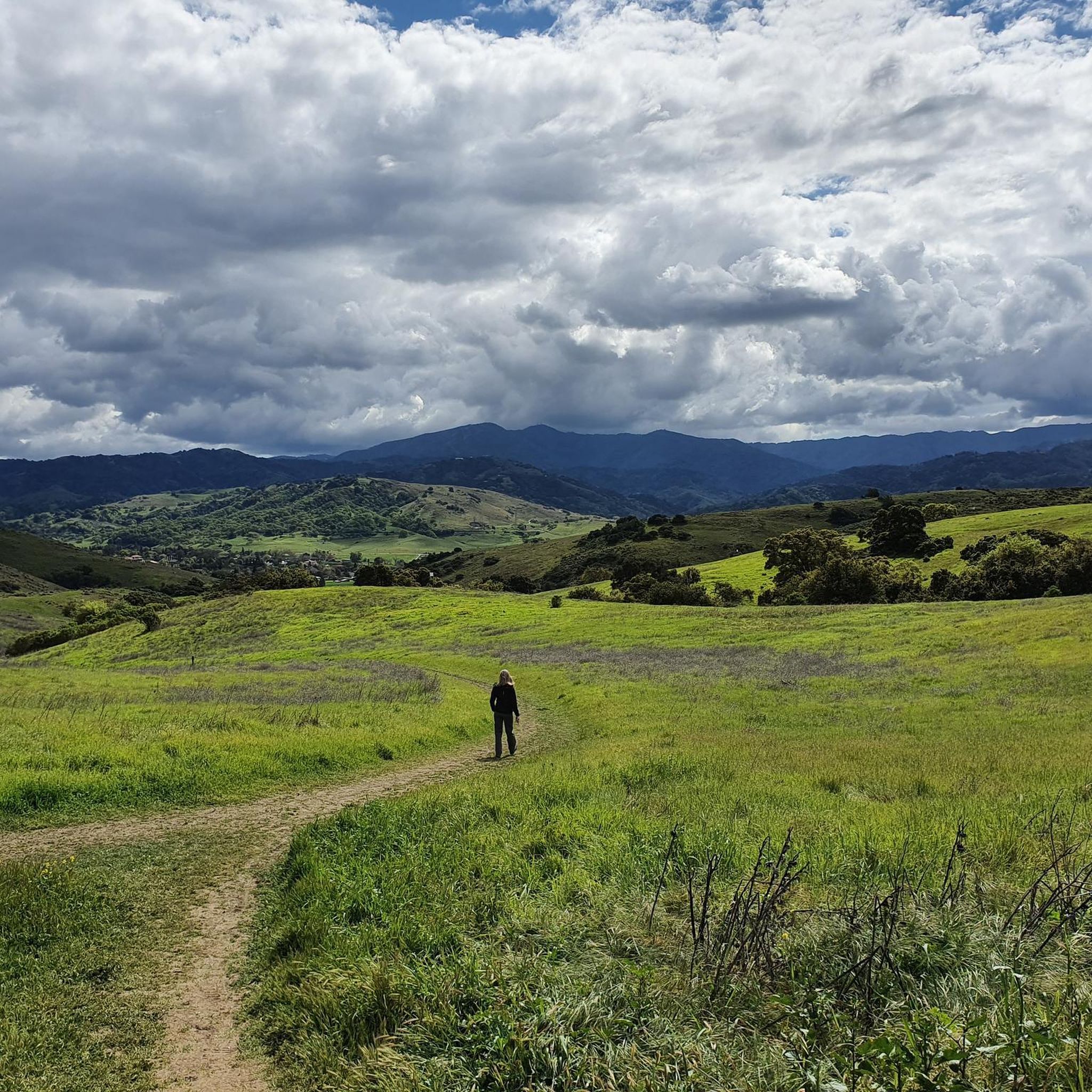
Running Trails in Ranch Canada Del Oro Open Space Preserve (Closed Areas)
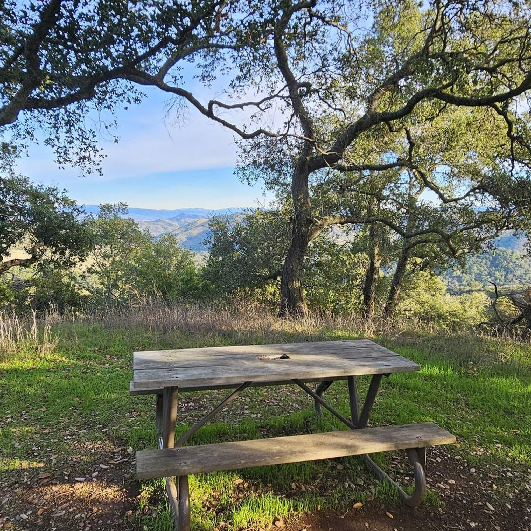
Hiking in Ranch Canada Del Oro Open Space Preserve (Closed Areas)
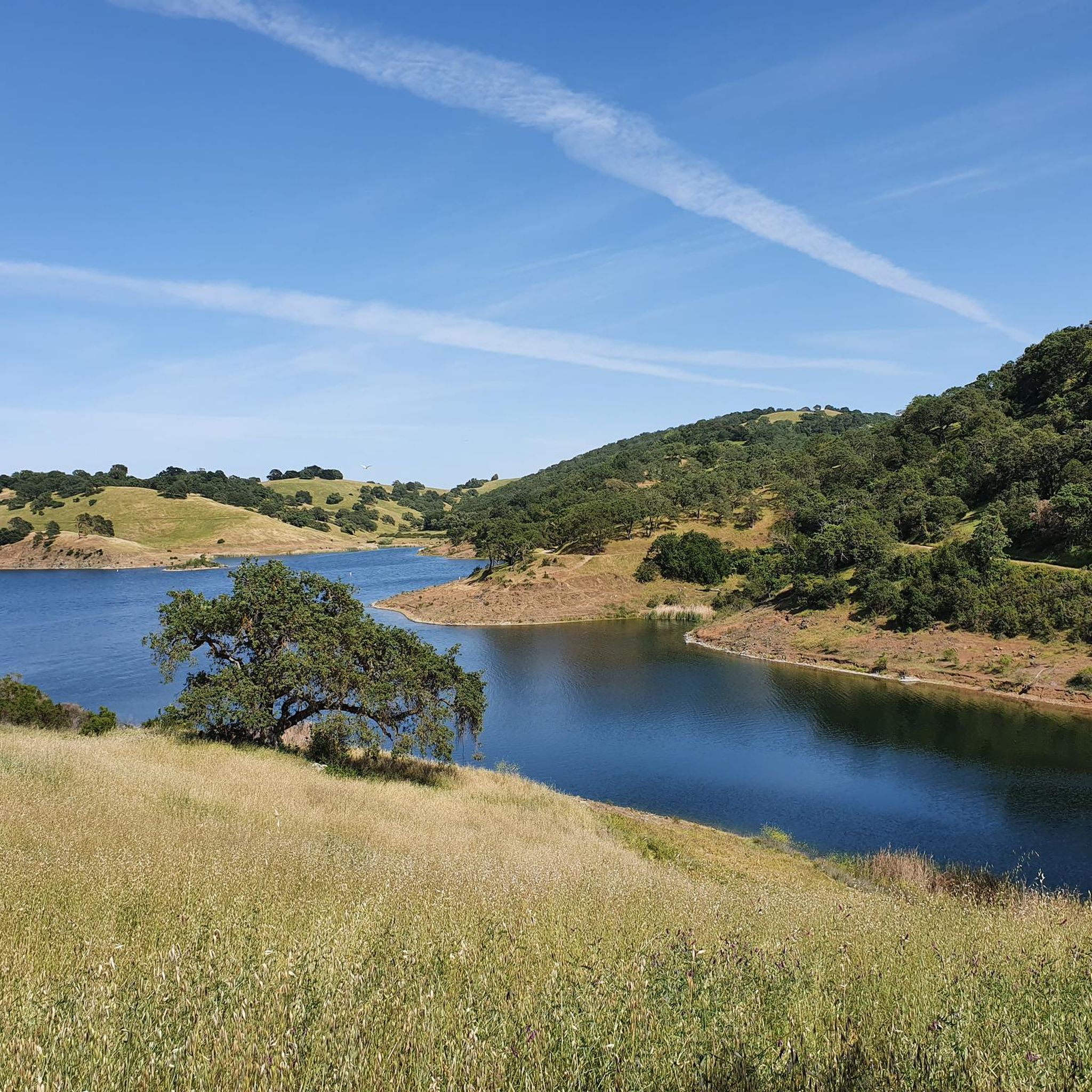
MTB Trails in Ranch Canada Del Oro Open Space Preserve (Closed Areas)
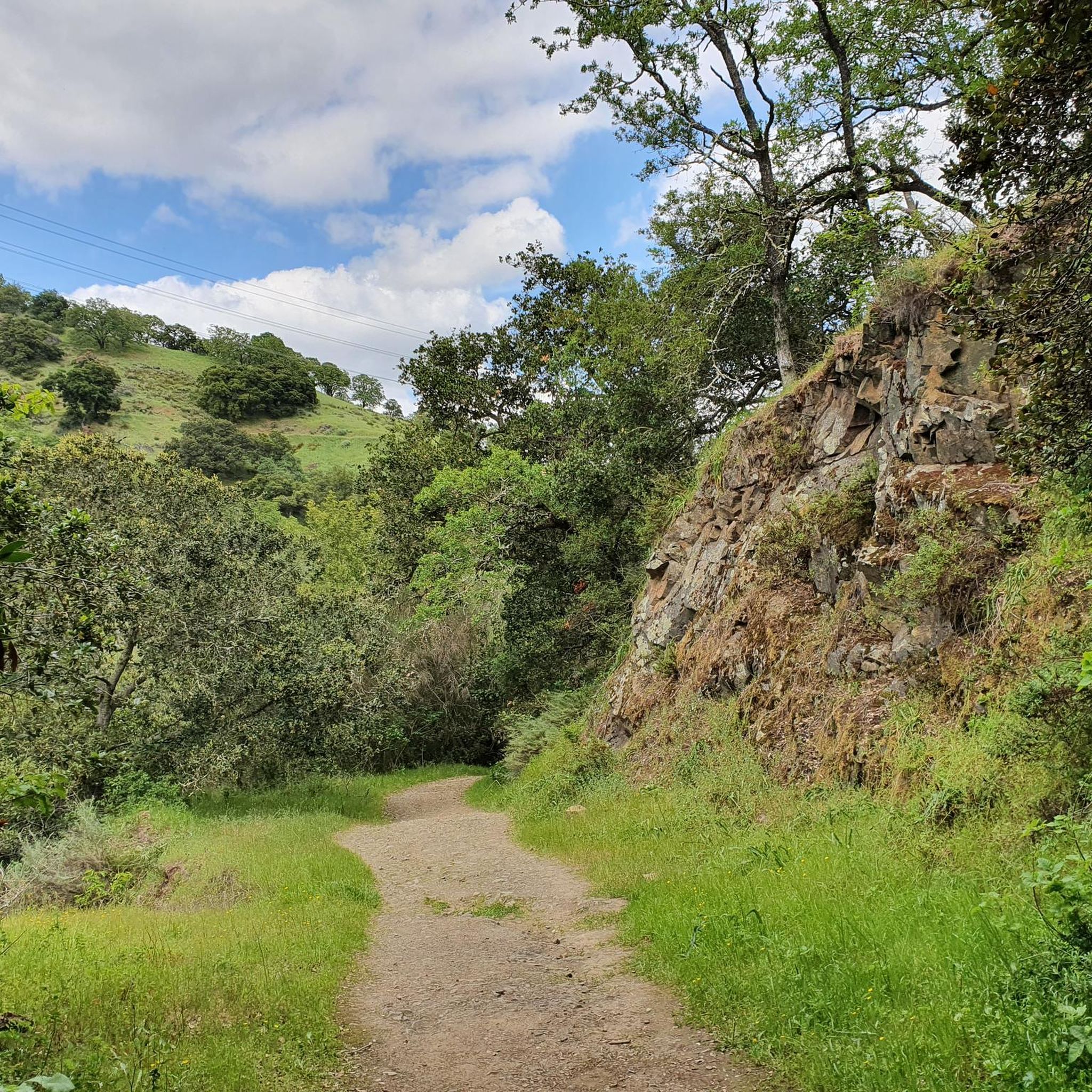
Cycling in Ranch Canada Del Oro Open Space Preserve (Closed Areas)

Gravel biking in Ranch Canada Del Oro Open Space Preserve (Closed Areas)
Tips from the Community

If you make the summit a fantastic view awaits. Be aware the road goes down then up to the road about then up again to the summit!…
0
0

Still one of the highest points in the Santa Cruz Mountains, even though the military graded and flattened the actual summit to create an Air Force base. The summit was cleaned of hazardous material in 2009, then carefully restored after a lot of community input. It's a lovely place to visit now!
0
0

A scenic stop just off the winding roads of the Santa Cruz Mountains, Lexington Reservoir County Park is a great spot to catch your breath and enjoy the view. The smooth pavement along Alma Bridge Road makes it a popular stretch for cyclists, with rolling terrain and minimal traffic. There's parking, restrooms, and shaded areas if you need a break. From here, you can loop toward Los Gatos or push deeper into the climbs of Highway 17 and Old Santa Cruz Highway.
0
0
Climbing Mount Umunhum is a tough but rewarding challenge. The road is steep, with sections reaching up to 18% grades, so pace yourself. The views from the top are spectacular, making the hard work worth it. Start early to avoid traffic and the heat, and be prepared for a long, demanding ascent.
0
0
Here, you can buy fresh fruit, including prunes, pears, apricots, and cherries, depending on the season.
0
0
Here is the entrance to Uvas Canyon County Park. The park has several small falls surrounded by forest, walking less than a mile in, you’ll find a waterfall. Here you can find water fountains, restrooms and a campground. This is the perfect place to end or start your ride.
0
0
Shannon Road starts with a gentle climb from Los Gatos Creek to Blossom Hill Park, then transitions into a steeper ascent as it leads into a rural area. The summit below Blossom Hill offers a rewarding challenge and connects to other routes in the area.
1
0

Frequently Asked Questions
How many road cycling routes are available in the Rancho Cañada del Oro Open Space Preserve area?
There are over 15 road cycling routes available in the Rancho Cañada del Oro Open Space Preserve area, catering to various skill levels. These routes offer diverse terrain, from moderate loops around reservoirs to challenging climbs with significant elevation gain.
Are there any closed areas within Rancho Cañada del Oro Open Space Preserve that affect road cycling?
The Rancho Cañada del Oro Open Space Preserve is generally open to the public for outdoor activities, including road cycling. While the guide's title mentions 'Closed Areas,' this is likely a misnomer. However, specific sections or parking areas might experience temporary closures for maintenance or special events, so it's always advisable to check the preserve's official website before your visit.
What is the typical terrain and elevation gain like for road cycling in Rancho Cañada del Oro Open Space Preserve?
The preserve, nestled in the foothills of the Santa Cruz Mountains, offers diverse terrain. You can expect a mix of annual grasslands, mixed oak woodlands, and montane woodland. Routes often include significant elevation changes, providing varied challenges. For instance, the Calero Reservoir – Old Santa Cruz Highway loop features over 2,200 meters of elevation gain, while the Calero Reservoir – View of Chesbro Reservoir loop has a more moderate 470 meters of ascent.
Are there road cycling routes suitable for beginners in the Rancho Cañada del Oro area?
Yes, the area offers routes suitable for various fitness levels. While some routes feature significant climbs, there are also easier, mostly paved segments. You'll find several moderate routes, such as the Calero County Park to Uvas Canyon County Park loop, which covers about 64 km with a moderate elevation gain, making it a good option for those looking for a less strenuous ride.
What natural features and scenic viewpoints can I expect to see while road cycling in the preserve?
Road cycling in the preserve offers stunning natural beauty. You'll pass through diverse habitats including grasslands, oak woodlands, and riparian areas with glistening creeks. Trails like the Bald Peaks Trail provide impressive panoramic valley views. In spring, the meadows are adorned with vibrant wildflowers, and you might spot various wildlife, including deer and raptors.
What are the parking options for road cyclists visiting Rancho Cañada del Oro Open Space Preserve?
The preserve offers accessible parking areas for visitors. It's recommended to check the official preserve website for specific parking lot locations and any potential temporary closures or restrictions before your visit.
When is the best time of year to go road cycling in Rancho Cañada del Oro Open Space Preserve?
The preserve is enjoyable year-round, but spring (late winter to spring) is particularly beautiful due to the vibrant wildflower displays. The weather is generally mild, making it pleasant for cycling. Always check local weather conditions before heading out.
Are dogs allowed on the road cycling routes in Rancho Cañada del Oro Open Space Preserve?
No, dogs are not permitted within Rancho Cañada del Oro Open Space Preserve. This restriction is in place to protect the sensitive habitat and wildlife within the preserve.
Are there any loop road cycling routes in the Rancho Cañada del Oro area?
Yes, many of the road cycling routes in the area are loops, offering varied scenery without retracing your path. Examples include the Calero Reservoir – View of Chesbro Reservoir loop and the Calero County Park to Uvas Reservoir loop, which provide scenic circular rides.
What do other road cyclists enjoy most about road cycling in Rancho Cañada del Oro Open Space Preserve?
The area is highly rated by the komoot community, with an average score of 4.3 stars from over 60 reviews. Reviewers often praise the diverse terrain, the panoramic valley views, and the opportunity to experience the natural beauty of the Santa Cruz Mountains foothills.
Are e-bikes permitted on the trails in Rancho Cañada del Oro Open Space Preserve?
Yes, e-bikes with pedal assist are permitted on the multi-use trails within Rancho Cañada del Oro Open Space Preserve, enhancing accessibility for a wider range of cyclists.
What should I keep in mind for safety when road cycling in the preserve?
When cycling in the preserve, it's important to share trails responsibly. Bikers should yield to horses and hikers. Using a bike bell is recommended, especially around turns, to alert others to your presence. Always be aware of your surroundings and respect the natural environment.
Most popular routes in Ranch Canada Del Oro Open Space Preserve (Closed Areas)

Get inspired with the komoot mobile app


Explore more
Browse the best Road cycling routes in other regions.
