Ranch Canada Del Oro Open Space Preserve (Closed Areas)
Ranch Canada Del Oro Open Space Preserve (Closed Areas)
The best MTB trails in Ranch Canada Del Oro Open Space Preserve (Closed Areas)
4.7
(175)
1,620
riders
30
rides
Mountain biking in Ranch Canada Del Oro Open Space Preserve (Closed Areas) offers diverse trails within the foothills of the Santa Cruz Mountains in South Santa Clara County. The preserve features a mix of multi-use trails, traversing annual grasslands, oak woodlands, and chaparral. Riders can experience varied terrain, from shaded paths to exposed fire roads, with sweeping views of the Diablo Range and Santa Cruz Mountains. This area also connects to Calero County Park, providing extended riding opportunities.
Best mountain…
Last updated: November 7, 2026
4.0
(3)
22
riders
12.9km
01:29
440m
430m
Moderate mountain bike ride. Good fitness required.
4.9
(44)
140
riders
Hard mountain bike ride. Very good fitness required.

5.0
(1)
9
riders
Easy mountain bike ride.
5.0
(10)
65
riders
23.6km
02:32
690m
690m
Moderate mountain bike ride. Good fitness required.
15
riders
28.6km
02:35
980m
980m
Hard mountain bike ride. Very good fitness required.
Get access to more routes and recommendations from other explorers.
Already have an account?
Our route recommendations are based on thousands of hikes, rides, and runs completed by other people on komoot.
Start today with a free account
Your next adventure awaits.
Popular around Ranch Canada Del Oro Open Space Preserve (Closed Areas)
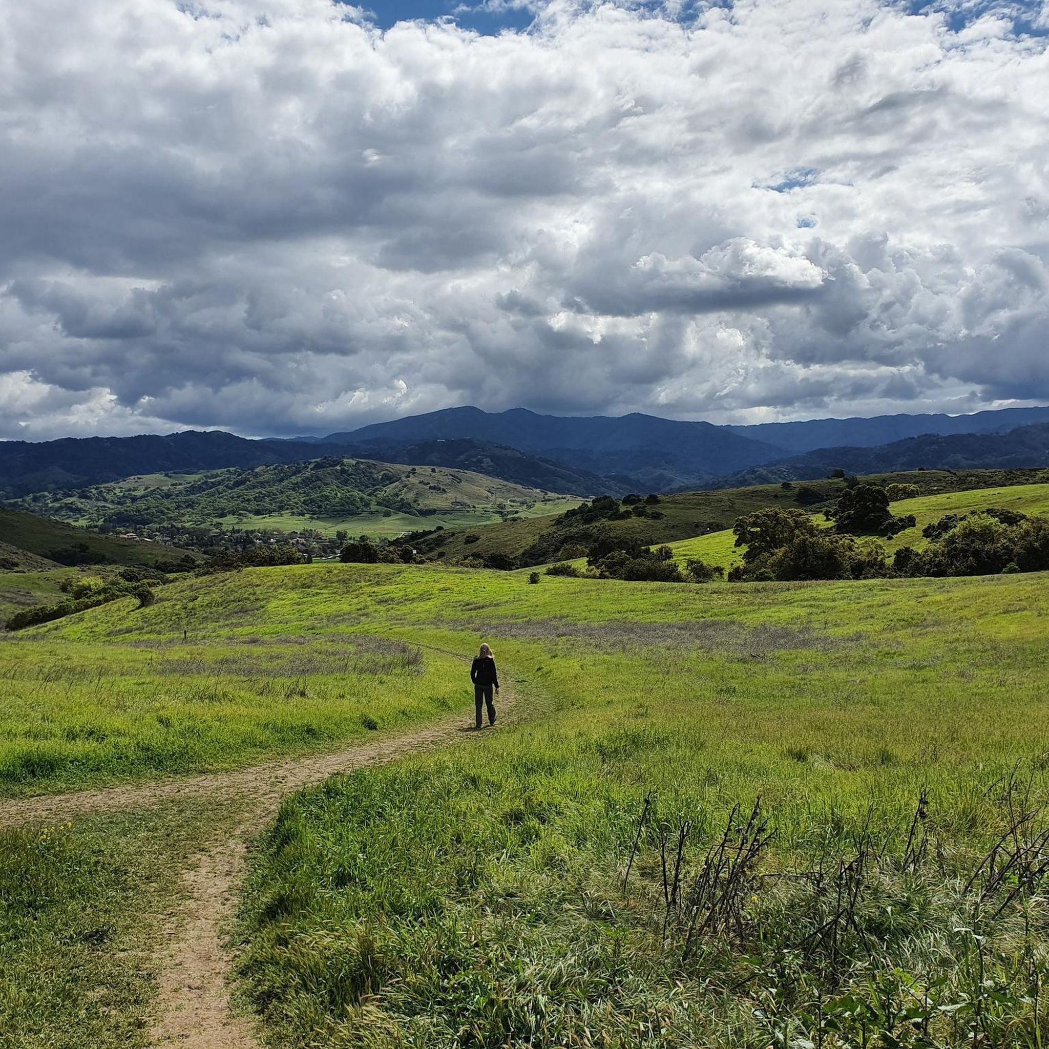
Running Trails in Ranch Canada Del Oro Open Space Preserve (Closed Areas)
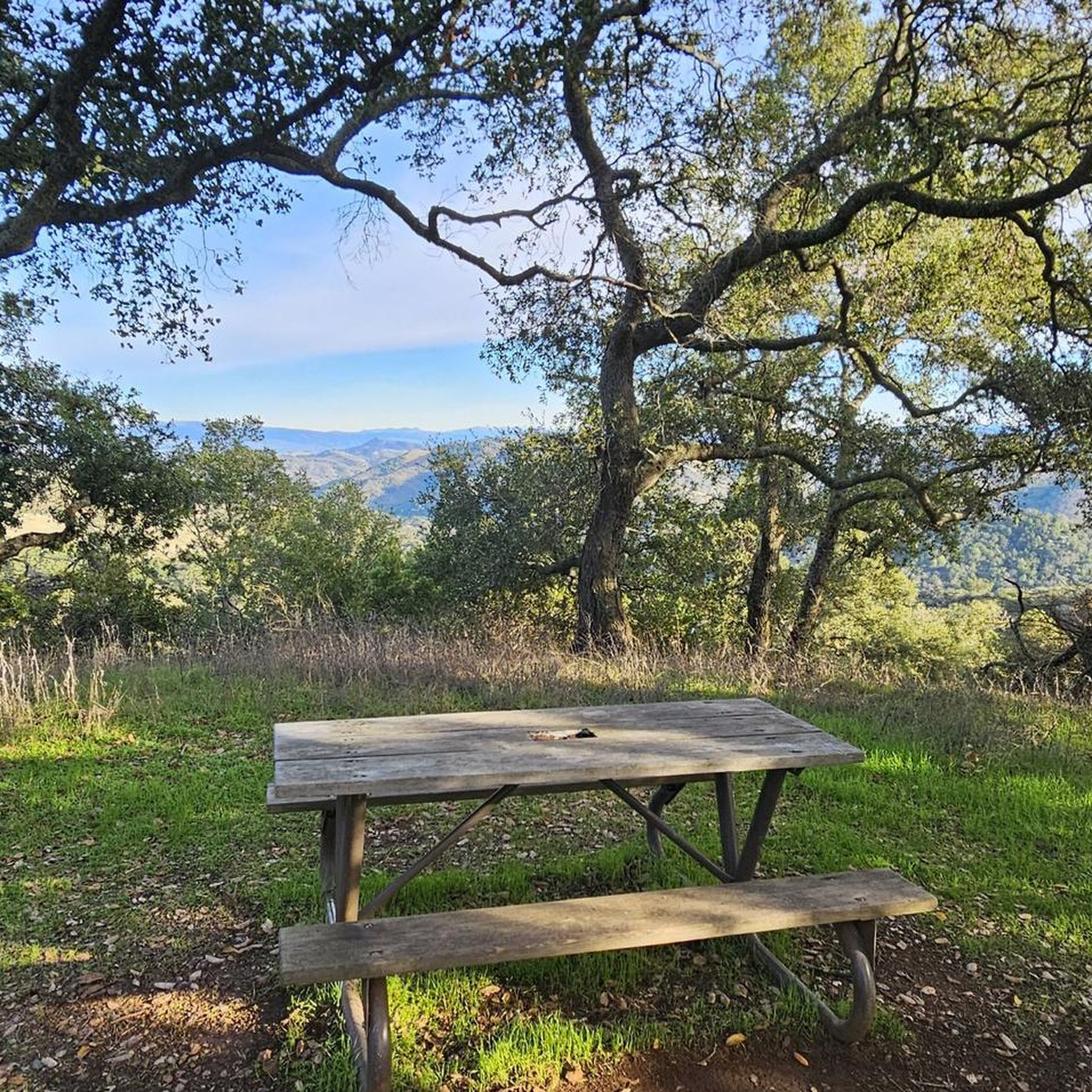
Hiking in Ranch Canada Del Oro Open Space Preserve (Closed Areas)
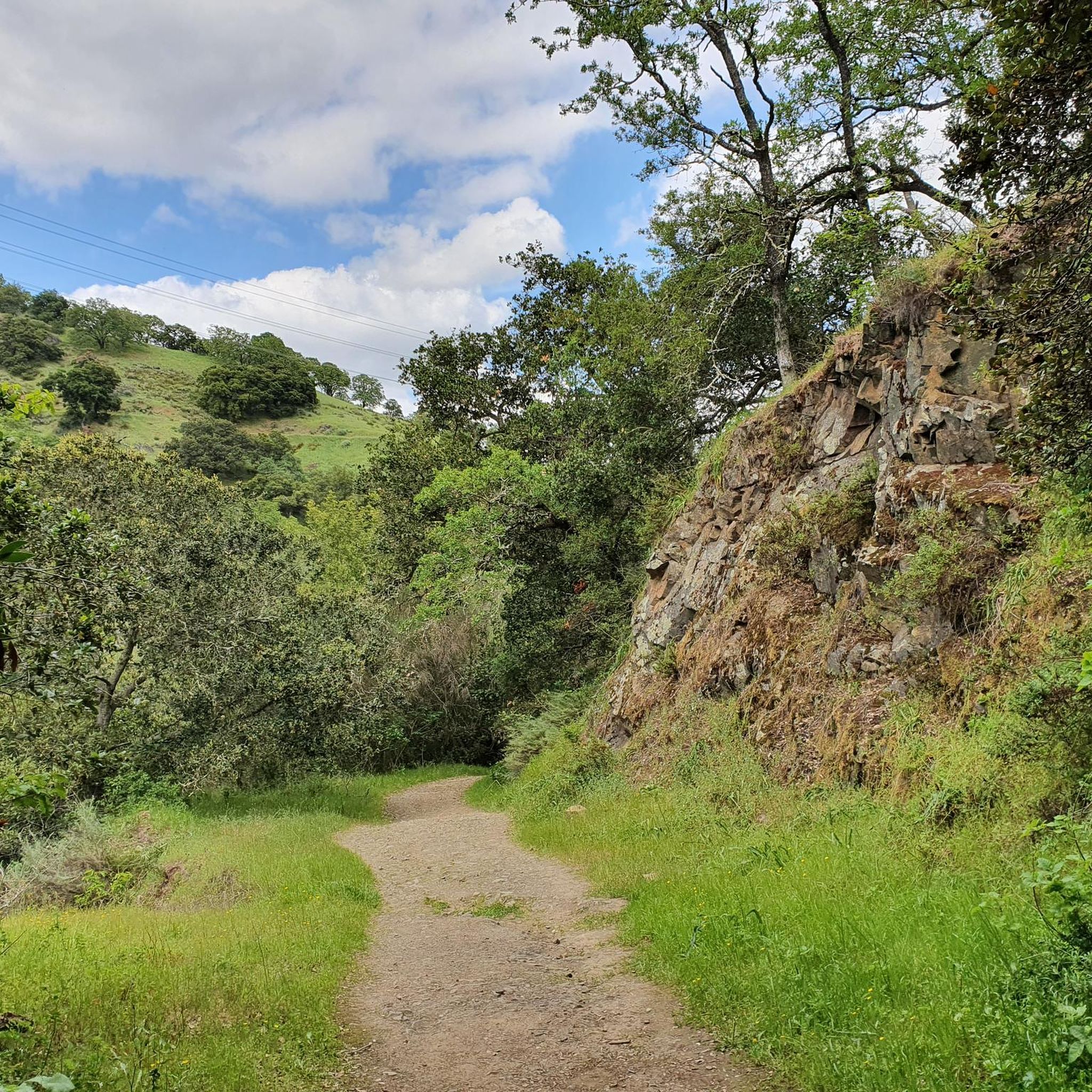
Cycling in Ranch Canada Del Oro Open Space Preserve (Closed Areas)
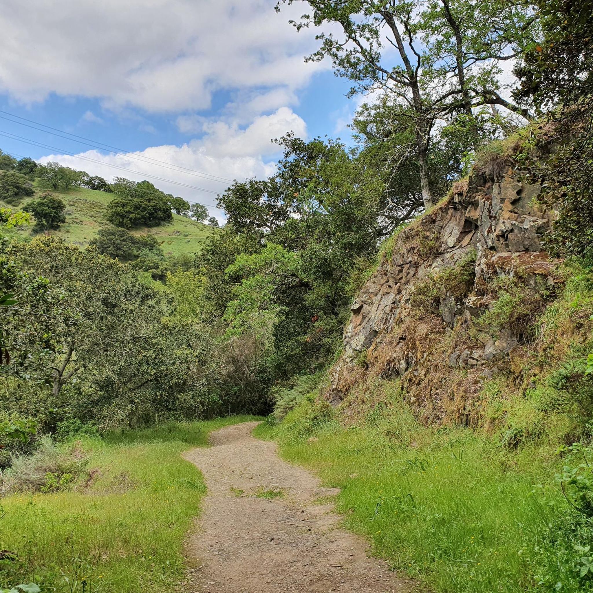
Road Cycling Routes in Ranch Canada Del Oro Open Space Preserve (Closed Areas)

Gravel biking in Ranch Canada Del Oro Open Space Preserve (Closed Areas)
Tips from the Community

If you make the summit a fantastic view awaits. Be aware the road goes down then up to the road about then up again to the summit!…
0
0

Still one of the highest points in the Santa Cruz Mountains, even though the military graded and flattened the actual summit to create an Air Force base. The summit was cleaned of hazardous material in 2009, then carefully restored after a lot of community input. It's a lovely place to visit now!
0
0

The Mount Umunhum Trailhead offers some amenities, including bathrooms at both the start and summit. With parking available for about 20 cars, this trail provides great views and is a great spot for sunsets. Aim to hike early in the morning or in the evening as it can get very hot in the summer.
0
0
Bald Peak provides great views of Santa Clara Valley, the Diablo Range, and the Santa Cruz Mountains. Hikers and mountain bikers can access the peak via trails like Hidden Springs and Coyote Peak, which offer moderate to steep climbs. Early mornings or late afternoons are best for enjoying cooler temperatures in hot summer months. The trails are well-maintained and scenic.
0
0

When the cinnabar (mercury ore) mines at Quicksilver Park were active in the late 19th and early 20th centuries, English Camp housed around 1,000 residents, primarily consisting of Cornish miners and their families. Today, only a few remnants of structures remain. There are some lovely picnic tables here, making it an ideal spot to stop for lunch and take some memorable photos.
0
0

At the summit of Mt Umunhum is an 8 story tower that was used as a radar outpost by the US Air Force until 1980. In addition to this piece of military history you'll also find stunning views in all directions. On clear days you can see as far as San Francisco and Monterey.
1
0

This marks the beginning of the Woods Trail, that heads west into Sierra Azul hills. A couple of long MTB loops can be started from here.
1
0

This section has a relatively gentle slope and does not undergo significant incline changes. It presents mesmerizing surroundings abundant with wildflowers and wildlife.
0
0
Frequently Asked Questions
How many mountain bike trails are available in Rancho Cañada del Oro Open Space Preserve?
There are over 25 mountain bike trails in Rancho Cañada del Oro Open Space Preserve, offering a variety of experiences for different skill levels. The komoot community has explored 29 routes in total.
What kind of terrain can I expect when mountain biking in Rancho Cañada del Oro Open Space Preserve?
The preserve offers diverse terrain, ranging from shaded paths through oak woodlands to exposed fire roads with scenic vistas. You'll ride through a mix of annual grasslands, oak and montane woodlands, chaparral, riparian areas, and wetlands. Trails often feature switchbacks and can include significant elevation gains.
Are there mountain bike trails suitable for beginners in Rancho Cañada del Oro Open Space Preserve?
Yes, the preserve features a mix of trails suitable for various skill levels, including easy rides. For example, the Longwall Canyon Trail loop from Rancho Cañada del Oro Open Space Preserve Entrance is an easy 4.3-mile path through mixed oak woodlands and grasslands.
Are there any challenging mountain bike trails for experienced riders?
Absolutely. For experienced riders seeking a challenge, trails with significant elevation gains are available. The Lisa Killough Trail – Lisa Killough Trail Viewpoint loop from Rancho Cañada del Oro Open Space Preserve Entrance is a difficult 22.7-mile route that requires advanced riding skills and good fitness due to its steep climbs.
What are the best times of year to go mountain biking in the preserve?
The preserve offers beautiful riding conditions throughout the year. In spring, the meadows and hillsides are adorned with vibrant wildflowers. Cooler months might offer more comfortable riding temperatures, while summer can be warm on exposed sections. Always check local weather conditions before your ride.
What scenic views or natural features can I expect to see?
Riders can enjoy sweeping views of the Diablo Range and Santa Cruz Mountains, particularly from elevated points like Bald Peak. The trails also offer panoramic views of the Santa Clara Valley. You'll pass through diverse habitats with two glistening creeks running through mixed oak woodlands and grasslands.
Is wildlife commonly seen in Rancho Cañada del Oro Open Space Preserve?
Yes, the preserve is home to a variety of wildlife. You might spot deer, bobcats, foxes, mountain lions, wild pigs, and various bird species, including golden eagles and wintering bald eagles.
Are e-bikes allowed in Rancho Cañada del Oro Open Space Preserve?
Yes, e-bikes with pedal assist are allowed in the preserve, enhancing recreational opportunities and accessibility for a wider range of visitors.
What amenities are available at the preserve?
The preserve provides convenient amenities for visitors, including parking for cars and horse trailers, restrooms, and picnic tables, ensuring a comfortable visit.
Can I connect to other parks from Rancho Cañada del Oro Open Space Preserve?
Yes, the preserve connects to Calero County Park, offering extended riding opportunities for mountain bikers looking for longer routes and more varied terrain.
What do other mountain bikers enjoy most about the trails here?
The trails in Rancho Cañada del Oro Open Space Preserve are highly rated by the komoot community, with an average score of 4.7 stars from over 200 reviews. Reviewers often praise the diverse terrain, panoramic views, and the variety of routes suitable for different skill levels.
Where can I find more information about the preserve's rules and regulations?
For detailed information on rules, regulations, and any current alerts or closures, it's always best to check the official website for Rancho Cañada del Oro Open Space Preserve. You can also find general information about the area on Visit Gilroy.
Most popular routes in Ranch Canada Del Oro Open Space Preserve (Closed Areas)

Get inspired with the komoot mobile app


Explore more
Browse the best MTB trails in other regions.
