Ranch Canada Del Oro Open Space Preserve (Closed Areas)
Ranch Canada Del Oro Open Space Preserve (Closed Areas)
The best walks and hikes in Ranch Canada Del Oro Open Space Preserve (Closed Areas)
4.7
(121)
1,584
hikers
98
hikes
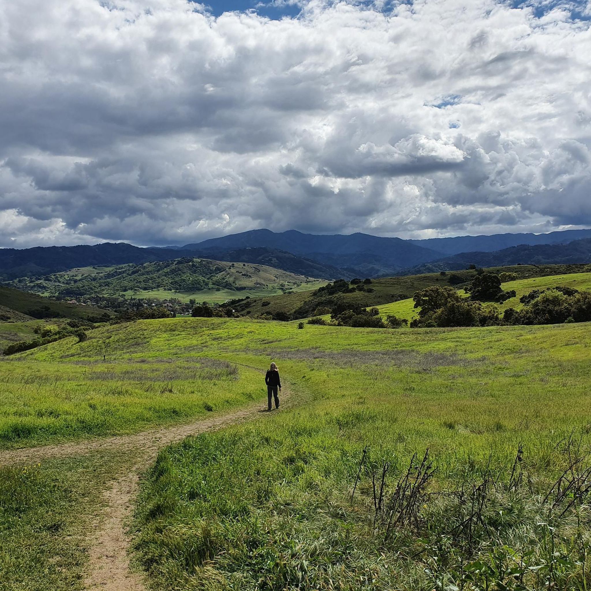
Hikes in Rancho Cañada del Oro Open Space Preserve are located in the foothills of the Santa Cruz Mountains in Santa Clara County. The landscape is characterized by mixed oak woodlands, open grasslands, and creekside paths. The preserve's trail system includes a section of the Bay Area Ridge Trail and offers routes with significant elevation gain leading to views of the surrounding area.
Best hiking trails in Ranch Canada Del Oro Open Space Preserve (Closed Areas)
- The most popular hiking…
Last updated: May 11, 2026
2
hikers
26.5km
07:58
830m
840m
Hike the challenging 16.4-mile Rancho Canada del Oro and Calero Park Loop, featuring diverse terrain, panoramic views, and 2724 feet of elev
5.0
(3)
29
hikers
13.1km
03:58
450m
450m
Hike the Bald Peaks Loop Trail, a moderate 8.1-mile route with 1469 feet of elevation gain, offering scenic views of the Santa Cruz Mountain

Sign up for free
5.0
(1)
14
hikers
10.9km
03:15
330m
330m
Hike the moderate Bald Peaks Loop in Calero County Park, covering 6.8 miles with 1091 feet of gain and panoramic views.
4.8
(4)
44
hikers
Moderate hike. Good fitness required. Easily-accessible paths. Suitable for all skill levels.
5.0
(2)
9
hikers
Moderate hike. Good fitness required. Easily-accessible paths. Suitable for all skill levels.
Get access to more routes and recommendations from other explorers.
Sign up for free
Already have an account?
Our route recommendations are based on thousands of hikes, rides, and runs completed by other people on komoot.
Start today with a free account
Your next adventure awaits.
Login or Signup
Popular around Ranch Canada Del Oro Open Space Preserve (Closed Areas)
Running Trails in Ranch Canada Del Oro Open Space Preserve (Closed Areas)
MTB Trails in Ranch Canada Del Oro Open Space Preserve (Closed Areas)
Cycling in Ranch Canada Del Oro Open Space Preserve (Closed Areas)
Road Cycling Routes in Ranch Canada Del Oro Open Space Preserve (Closed Areas)

Gravel biking in Ranch Canada Del Oro Open Space Preserve (Closed Areas)
Tips from the Community

Bald Peak provides great views of Santa Clara Valley, the Diablo Range, and the Santa Cruz Mountains. Hikers and mountain bikers can access the peak via trails like Hidden Springs and Coyote Peak, which offer moderate to steep climbs. Early mornings or late afternoons are best for enjoying cooler temperatures in hot summer months. The trails are well-maintained and scenic.
0
0

This length of singletrack is absolutely stunning. Running through a mixture of small trees and open scrubland, and on a good quality surface, it can't get much better than this.
1
0
The views from the Bald Peak Trail are fantastic, with arid scrubland mixed in with lush trees and vegetation. The elevated position of this trail gives it a really special feeling.
0
0

Longwall Canyon Trail is a nicely marked trail that navigates through trees, fields, and has stunning views of the South Bay at points. The trail has a nice mix of terrain and scenery to keep things interesting.
0
0

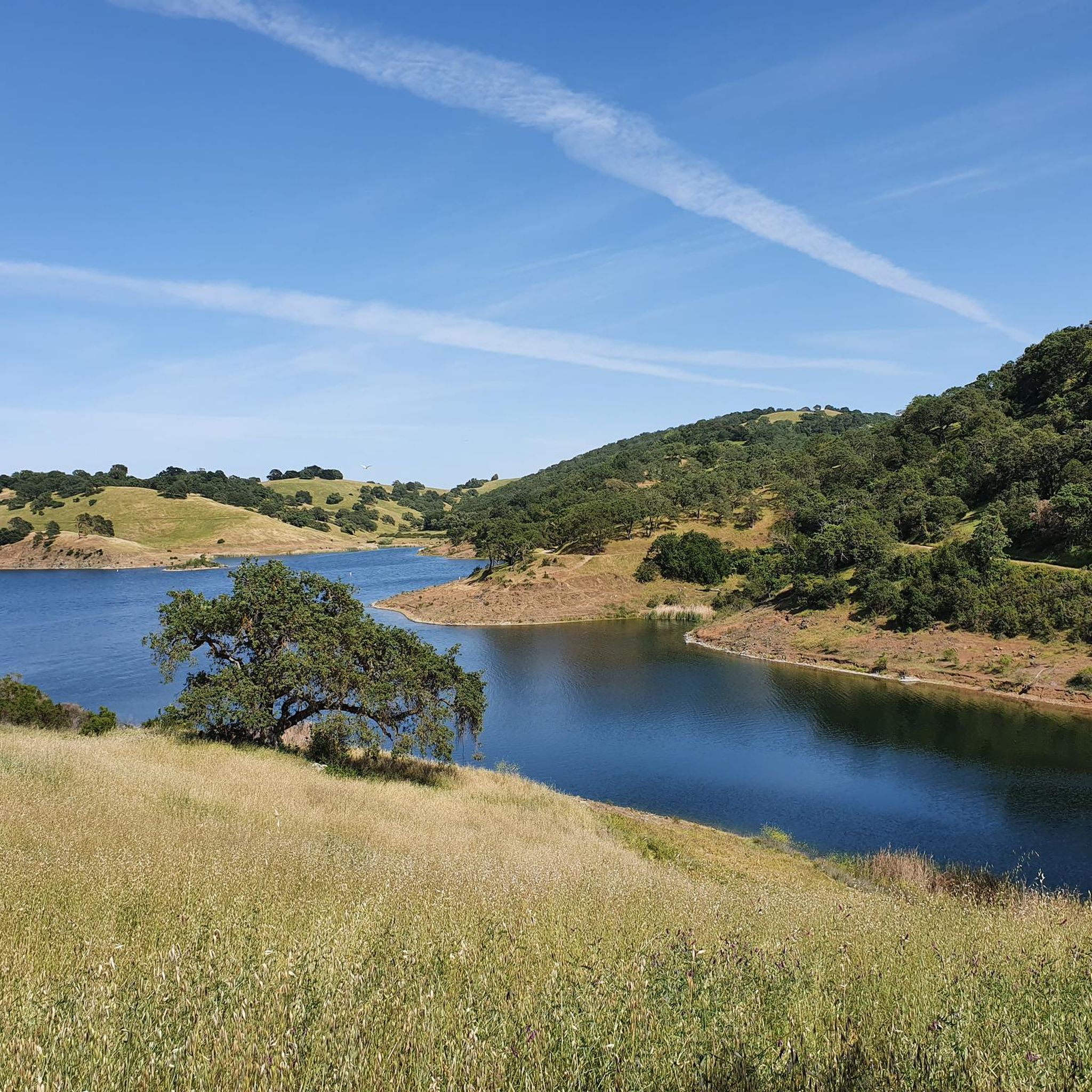
Calero County Park is a huge park covering over 4,400 acres and featuring a huge lake. Calero Reservoir is definitely the pinnacle of the park, but there are a number of trails and paths that offer different views and pass through different natural ecosystems. Being such a big park, there are a bunch of different trailheads and park entrances that you can utilize.
0
0
Calero County Park is a huge park covering over 4,400 acres and featuring a huge lake. Calero Reservoir is definitely the pinnacle of the park, but there are a number of trails and paths that offer different views and pass through different natural ecosystems. Being such a big park, there are a bunch of different trailheads and park entrances that you can utilize.
1
0

Fossils of marine creatures like clams and oysters can be found in the sandstone of the peaks, hinting at a time when the area was submerged beneath the ocean. The hills around Bald Peaks are home to unique rock formations like chert and rhyolite, attracting hobbyists searching for colorful and interesting specimens.
1
0

From the high knoll you get a 360 degree view of all the South Bay. Wildflowers are abundant in the spring.
0
0
Frequently Asked Questions
Why is this guide named for 'Closed Areas'? Are the trails at Rancho Cañada del Oro not accessible?
The 'closed areas' designation refers to undeveloped parts of the preserve where the Santa Clara Valley Open Space Authority is planning future trail expansions. The established trails within the preserve, like those featured in this guide, are open to the public. Always check the official park website for the most current trail status before your visit.
Are there any easy, accessible trails in the preserve?
Yes, the preserve is designed to be welcoming for various abilities. The Llagas Creek Loop Trail is a notable accessible trail, offering a full nature experience for visitors with limited mobility. The preserve also features accessible restrooms and picnic areas near the main entrance.
What kind of scenery can I expect on the trails?
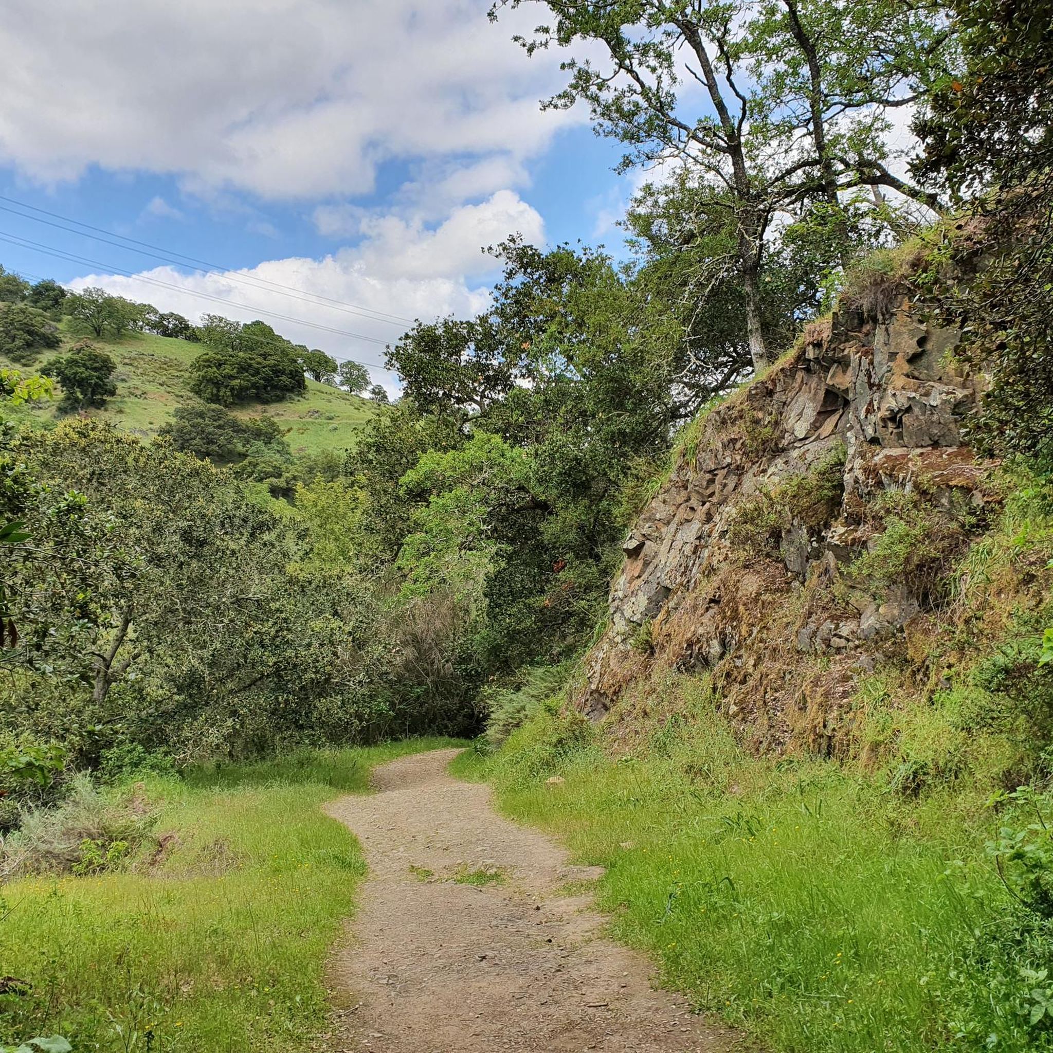
The landscape is a classic California foothill environment. You'll hike through a mix of mixed oak woodlands, open grasslands perfect for sunny days, and shaded paths alongside creeks. From the higher ridgeline trails, you can get panoramic views of the surrounding Santa Clara Valley and peaks like Loma Prieta.
How many hiking trails are available in the preserve?
There are over 70 different hiking routes to explore within Rancho Cañada del Oro Open Space Preserve. These range from short, gentle loops to more challenging climbs with significant elevation gain, offering plenty of options for all fitness levels.
Are there any long-distance hiking options available?
Yes, the preserve is great for a longer day out. A significant 5.5-mile portion of the Bay Area Ridge Trail runs through the park. For a challenging loop with rewarding views, consider the Bald Peaks loop, which covers about 8.1 miles and involves a good amount of climbing.
What do other hikers say about the trails at Rancho Cañada del Oro?
The preserve is highly regarded by the komoot community, with hikers giving the trails an average rating of 4.6 stars. Reviewers frequently praise the well-maintained paths, the beautiful views from the ridges, and the peaceful atmosphere of the oak woodlands.
When is the best time to see wildflowers?
Spring is the most spectacular time for wildflowers. The preserve's grasslands and hillsides, particularly areas with serpentine soil, come alive with a vibrant display of native flowers like calochortus and gilia.
Can I see wildlife in the preserve?
Absolutely. The area is a sanctuary for a variety of wildlife. It's common for hikers to spot deer, and if you're quiet and observant, you might also see bobcats, foxes, and a wide array of bird species.
How do the trails connect to Calero County Park?
The trail systems of Rancho Cañada del Oro and the adjacent Calero County Park are connected, allowing for extended hikes between the two. Routes like the Bald Peaks loop from Calero County Park showcase how you can start in one park and traverse the ridgelines into the other.
Are there any good trails for a shorter, moderate hike?
Yes, there are several great options. The Hiking loop from Almaden Valley is a popular choice, offering a 4.4-mile journey through oak woodlands that typically takes about 2 hours to complete.
Where can I find the best viewpoints?
For some of the best panoramic views, you'll want to gain some elevation on the ridgeline trails. The Bald Peaks Trail Viewpoint loop from Almaden Valley is specifically routed to lead you to excellent vistas overlooking the valley.
Is there parking available at the preserve?
Yes, there is a parking lot at the main entrance located at 4289 Casa Loma Rd, Morgan Hill. The preserve also offers free parking for horse trailers, making it accessible for equestrians.
Most popular routes in Ranch Canada Del Oro Open Space Preserve (Closed Areas)

Get inspired with the komoot mobile app


Explore more
Browse the best Hikes in other regions.
