The best running trails in Santiago Oaks Regional Park
4.9
(7)
737
runners
62
runs
Jogging routes in Santiago Oaks Regional Park traverse a diverse landscape spanning 1,269 acres, featuring mountain vistas, extensive oak woodlands, and chaparral-covered hillsides. The park is characterized by a meandering Santiago Creek, a historic orange grove, and a mature forest. Trails range from paved surfaces to rugged paths, offering varied terrain for runners.
Best jogging routes in Santiago Oaks Regional Park
- The most popular jogging route is Santiago Oaks Historic Dam Loop, a 2.4 miles (3.9 km) trail that…
Last updated: October 10, 2026
12
runners
5.79km
00:44
90m
100m
Moderate run. Good fitness required. Mostly accessible paths. Some sure footedness required.
4
runners
13.0km
01:29
260m
260m
Moderate run. Good fitness required. Mostly paved surfaces. Suitable for all skill levels.

5
runners
8.24km
01:00
250m
250m
Moderate run. Good fitness required. Mostly paved surfaces. Suitable for all skill levels.
3
runners
5.87km
00:38
80m
80m
Moderate run. Good fitness required. Mostly paved surfaces. Suitable for all skill levels.
3.94km
00:27
90m
90m
Easy run. Great for any fitness level. Mostly paved surfaces. Suitable for all skill levels.
Get access to more routes and recommendations from other explorers.
Already have an account?
Our route recommendations are based on thousands of hikes, rides, and runs completed by other people on komoot.
Start today with a free account
Your next adventure awaits.

Tips from the Community

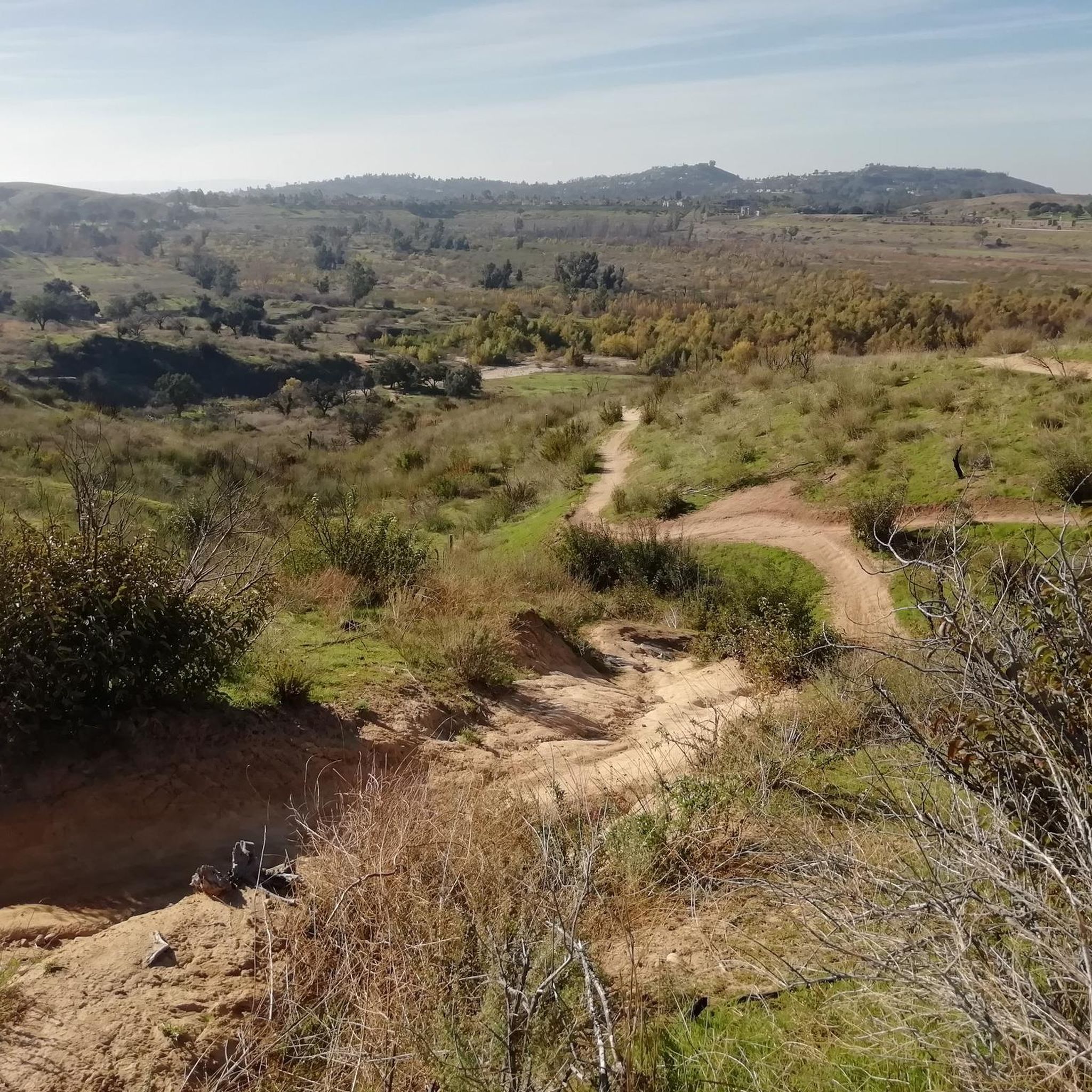
This part of the trail switchbacks through the canyon foothills and grants fantastic views into Weir Canyon proper. The trail is a wide packed dirt road with other doubletrack connector trails.
0
0

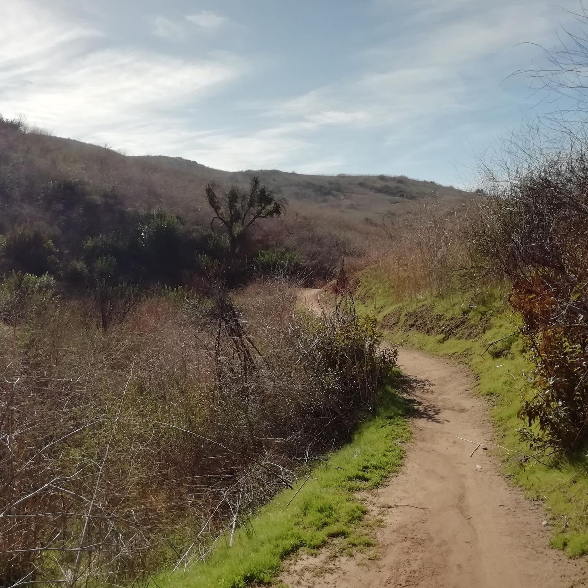
This is an excellent trail that runs through Weir Canyon and offers views of the Weir Canyon Wilderness, the Santa Ana Mountains and the San Gabriel Mountains. There are several connector trails in the middle of the loop, so you can choose your own adventure here depending on how long of an adventure you want. Either way, it is a nice trail with some incline, a small summit and great viewpoints throughout.
0
0

Hikers, bikers, joggers, and nature enthusiasts can all enjoy the trails natural features. The Santiago Creek Trail links orange county's parks; Grijalva, Yorba, and Hart Parks.
0
0
The dam stops up Santiago Creek in Orange County. The 136-foot dam was build for flood control.
0
0
A series of beautiful stepping stones placed for convenient riving crossing.
0
0
There is a small shaded gazebo atop the lookout, which grants expansive views north and west across the rolling foothills of Orange County. This is a great sunset spot.
0
0
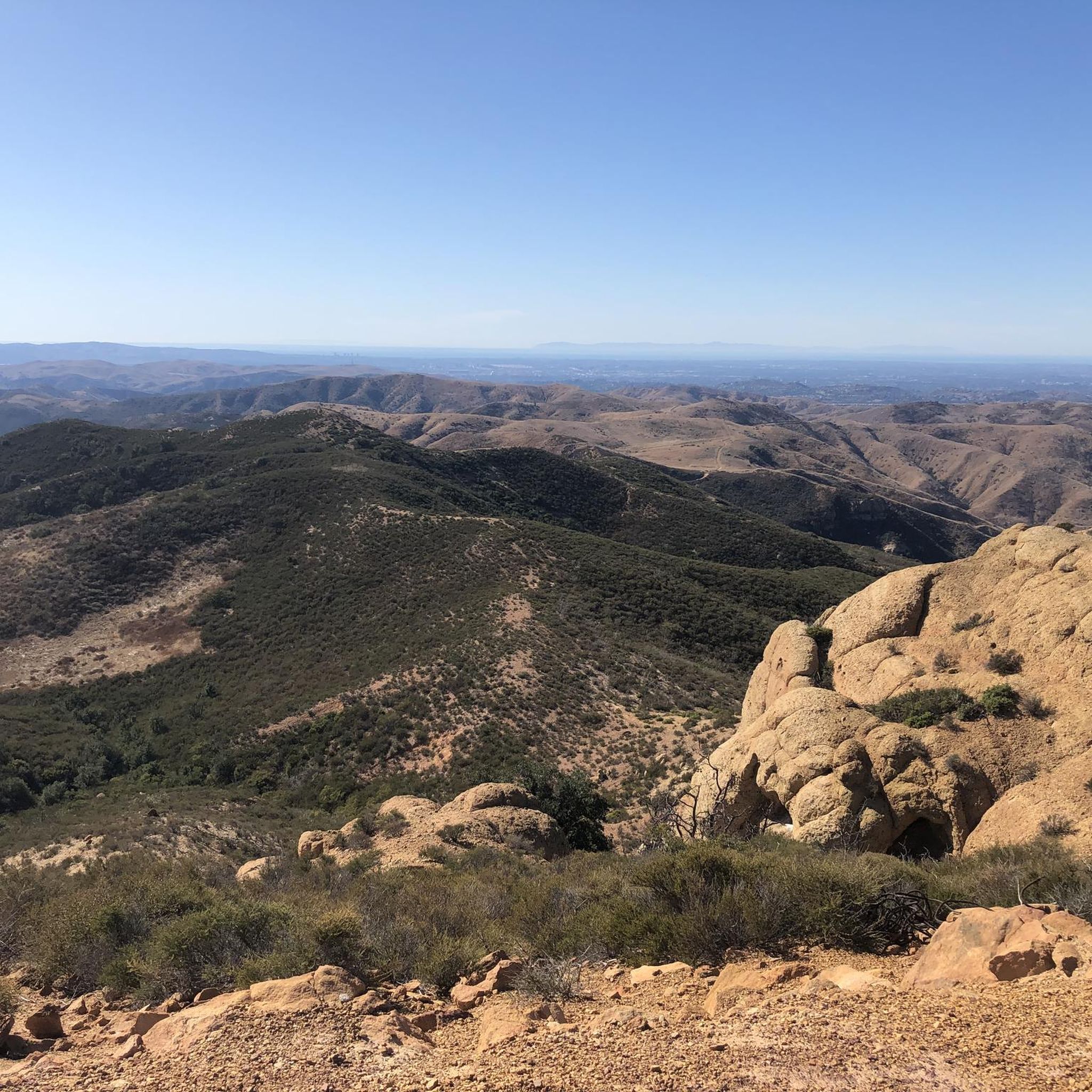
From atop the rocky outcropping of the Roost you get spectacular sweeping views of Orange County. This is a popular sunset spot.
0
0

If you're cycling along the Santiago Creek Trail, at some point you'll reach this point where you'll need to cross the creek that gives the trail its name. Depending on the water level, you'll likely have to do it using these stepping stones, and even if you have to dismount your bike, the fun is guaranteed!
1
0
Frequently Asked Questions
How many running routes are available in Santiago Oaks Regional Park?
Santiago Oaks Regional Park offers a wide selection of over 50 running routes. These trails traverse diverse landscapes, from shady oak woodlands to chaparral-covered hillsides, providing varied experiences for runners of all levels.
What kind of terrain can I expect on the running trails in Santiago Oaks Regional Park?
The park features a diverse range of terrain, from relatively easy, shaded paths along Santiago Creek to more challenging, rugged trails with significant elevation changes. You'll encounter mountain vistas, extensive oak woodlands, and chaparral-covered hillsides, ensuring a varied and engaging running experience.
Are there any easy or beginner-friendly running trails in Santiago Oaks Regional Park?
Yes, there are several easy trails suitable for beginners or those looking for a lighter run. The Santiago Oaks Historic Dam Loop is an easy 2.4-mile (3.9 km) route that offers pleasant shade and passes by the historic dam, making it a great option for a quick and enjoyable run.
What are some notable landmarks or natural features to see while running in the park?
While running in Santiago Oaks Regional Park, you can discover several interesting features. Look out for the historic dam built in 1892, the serene Santiago Creek, and a 9-acre Valencia orange grove. The park is also home to a remarkable Heritage Oak tree, estimated to be over 250 years old. For panoramic views, consider trails that lead to viewpoints like Barham Ridge Trail viewpoint or Robber's Peak.
Are there any loop running routes in Santiago Oaks Regional Park?
Yes, many of the running routes in Santiago Oaks Regional Park are loops, offering a convenient way to explore without retracing your steps. Popular loop options include the Weir Canyon Trail Loop and the Robbers Peak loop via Santiago Creek Trail, both providing diverse scenery.
What do other runners enjoy most about jogging in Santiago Oaks Regional Park?
The komoot community highly rates the running experience in Santiago Oaks Regional Park, with an average score of 5.0 stars from over 5 reviews. Runners frequently praise the park's diverse terrain, the beauty of the oak woodlands, and the peaceful atmosphere along Santiago Creek. The variety of trails, from easy to challenging, is also a common highlight.
Are the running trails in Santiago Oaks Regional Park suitable for families?
Yes, Santiago Oaks Regional Park offers trails suitable for families. Many paths are multi-use and vary in difficulty, allowing families to choose routes that match their comfort and fitness levels. Shorter, easier loops like the Santiago Oaks Historic Dam Loop are great for a family outing.
Can I bring my dog on the running trails in Santiago Oaks Regional Park?
Yes, dogs are generally welcome on the trails in Santiago Oaks Regional Park, but they must be kept on a leash at all times. It's always a good idea to bring water for your pet, especially on longer runs or during warmer weather.
Is there parking available at Santiago Oaks Regional Park for runners?
Yes, Santiago Oaks Regional Park provides parking facilities for visitors. There are designated parking areas conveniently located near trailheads, making it easy to access the running routes. Check the park's official website or signage upon arrival for specific parking locations and any potential fees.
What is the best time of year to go running in Santiago Oaks Regional Park?
Santiago Oaks Regional Park is enjoyable for running year-round, but spring and fall often offer the most pleasant conditions with milder temperatures. During summer, it's advisable to run early in the morning or late in the afternoon to avoid the midday heat. Winter can also be a great time, with cooler weather and lush greenery after rainfall.
Are there any challenging running routes for experienced runners?
Absolutely. For experienced runners seeking a challenge, Santiago Oaks Regional Park offers several moderate to difficult routes. Trails like the Barham Ridge and Oak Trail to Robbers Roost Loop, which covers nearly 8 miles with significant elevation gain, provide a rigorous workout and rewarding views.
What kind of wildlife might I encounter while running in the park?
Santiago Oaks Regional Park is rich in wildlife. While running, you might spot various bird species, rabbits, squirrels, and occasionally deer. Keep an eye out for local reptiles and amphibians, especially near Santiago Creek. Remember to observe wildlife from a distance and avoid disturbing their natural habitat.
Most popular routes in Santiago Oaks Regional Park
Most popular attractions in Santiago Oaks Regional Park

Get inspired with the komoot mobile app


Explore more
Browse the best Running Trails & Routes in other regions.
