Capital Springs State Recreation Area- Upper Mud Lake Unit
Capital Springs State Recreation Area- Upper Mud Lake Unit
The best road cycling routes in Capital Springs State Recreation Area- Upper Mud Lake Unit
4.4
(99)
3,002
riders
152
rides
Road cycling in Capital Springs State Recreation Area- Upper Mud Lake Unit is characterized by its integration with extensive paved trail systems, offering routes through significant wetlands, marshes, and restored prairies. The area features the 218-acre Upper Mud Lake, fed by Nine Springs Creek, and is part of the larger Capital Springs Recreation Area. Cyclists can experience diverse natural landscapes, including areas being restored to oak savanna, while utilizing well-maintained routes like the Capital City State Trail and the Lower…
Last updated: July 16, 2026
4.8
(6)
18
riders
13.6km
00:33
40m
40m
Easy road ride. Great for any fitness level. Mostly well-paved surfaces and easy to ride.
6
riders
23.6km
00:59
80m
80m
Easy road ride. Great for any fitness level. Mostly well-paved surfaces and easy to ride.

Sign up for free
74
riders
42.5km
02:01
170m
170m
Moderate road ride. Good fitness required. Some segments of this route may be unpaved and difficult to ride.
5.0
(1)
89
riders
24.2km
01:00
100m
100m
Easy road ride. Great for any fitness level. Mostly well-paved surfaces and easy to ride.
26
riders
60.0km
02:46
260m
260m
Moderate road ride. Good fitness required. Some segments of this route may be unpaved and difficult to ride.
Get access to more routes and recommendations from other explorers.
Sign up for free
Already have an account?
Our route recommendations are based on thousands of hikes, rides, and runs completed by other people on komoot.
Start today with a free account
Your next adventure awaits.
Login or Signup
Popular around Capital Springs State Recreation Area- Upper Mud Lake Unit
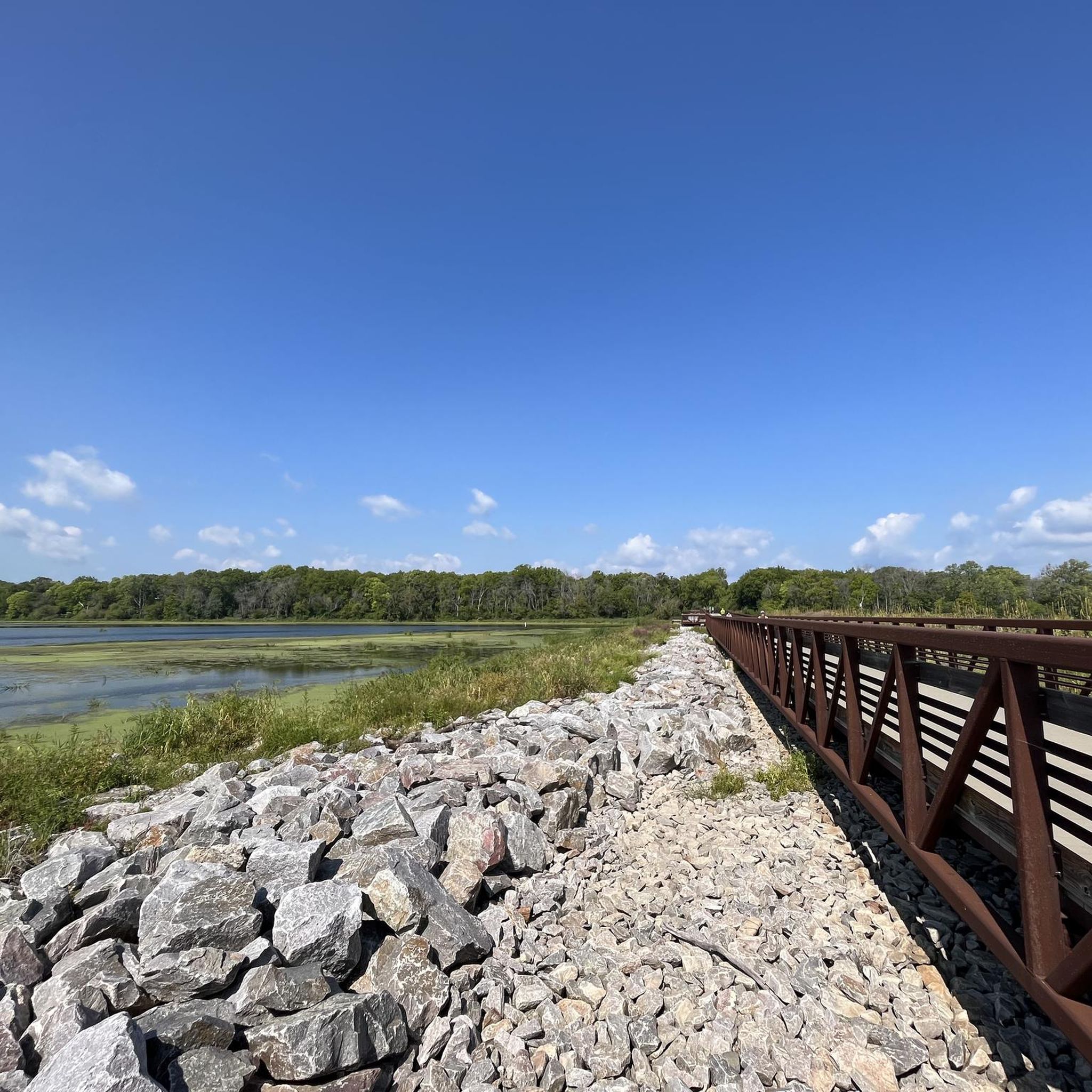


Tips from the Community

Nice resting point. Great views. Directly off path. Plenty of benches.
0
0

The first bike counter I saw was in Oklahoma City. This one has a cool meter to it.
1
0
Birthplace of City of Monona. Built originally as a garage, this brick structure served from 1932 to 1952 as the only neighborhood grocery. Operated by early settler Ernie Ferchland, the store served as a meeting place for Blooming Grove Township residents who planned the incorporation of the Village of Monona. Dissatisfied with the services being provided by the Township of Blooming Grove, five residents of the area - Ernie Ferchland, Ray Owen, Ed Rothman, Walter Simon and Justin Waterman - met in Ernie's Trading Post to discuss secession from the Township. With a $300 retainer, they secured legal service regarding the process. Community meetings were held over a span of five months and, in spite of some opposition, a referendum to secede was passed (241 to 171) on August 29, 1938. Incorporation papers were signed on 1938. September 1, Monona Village comprised an area of 1.75 sq. miles with 350 families, population of 1100, and an assessed evaluation of $1.5 million. It also contained seven miles of waterfront, fourteen miles of local streets, 3.5 mlles of state highway, five bridges, three school districts and eight park areas. Justin Waterman was elected the first village president.
0
0

The Brittingham Park Path is a paved, multi-use path that cuts through Brittingham Park. A portion of the trail runs alongside Brittingham Bay and gives you great views of the water.
0
0

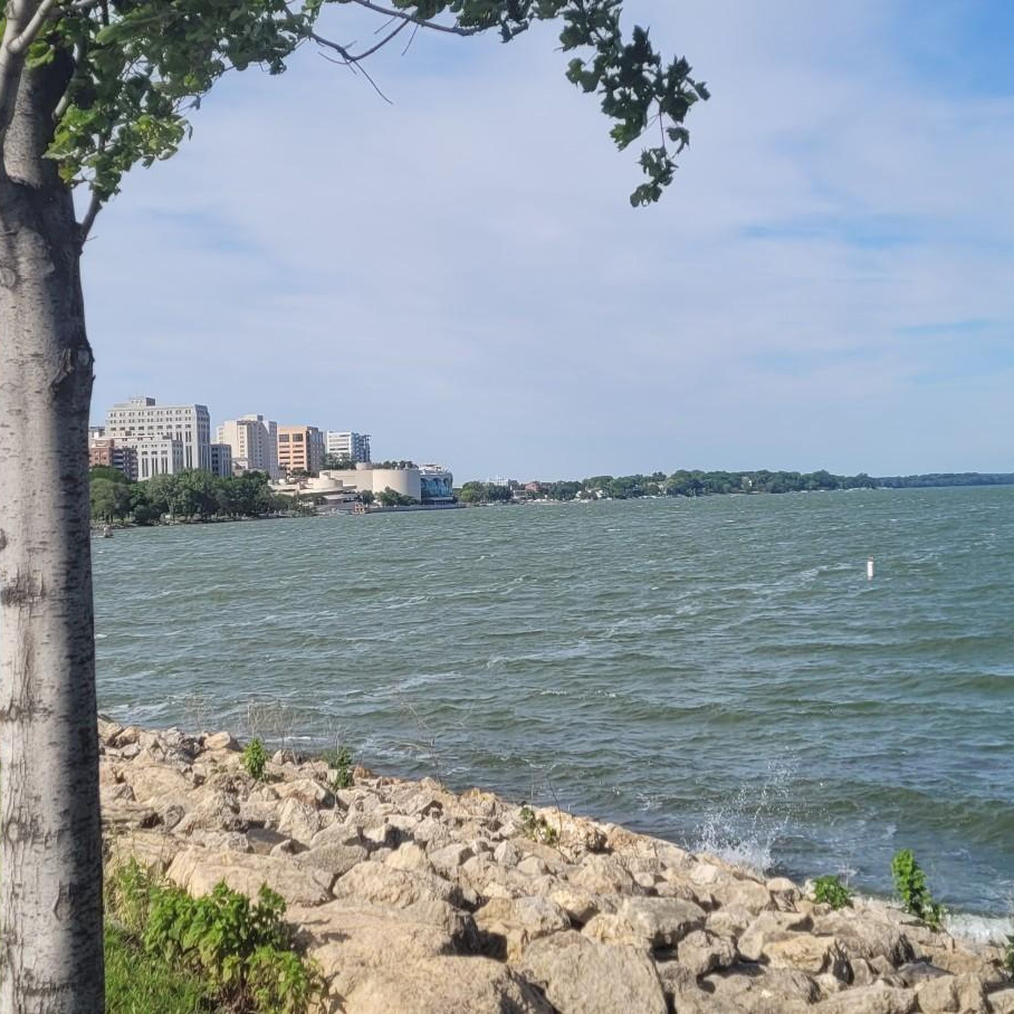
From this spot along John Nolan Drive, you can see sweeping views of Lake Monona with the short skyline of Madison the background.
0
0
The University of Wisconsin–Madison Arboretum is a research and ecological protection site in Madison. It has several miles of trails and quiet roads that weave through the beautiful wood land. The centerpiece of the area is Lake Wingra.
0
0
Monona Terrace is a large convention center on Lake Monona. There is a mulit-use path that takes you along the lake and through the grounds of the convention center.
0
0

Explore Olbrich Park's scenic beauty with its stunning botanical gardens, Thai Pavilion, and serene Lake Monona. Enjoy walking trails, picnic areas, and diverse recreational facilities.
0
0
Frequently Asked Questions
How many road cycling routes are available in Capital Springs State Recreation Area- Upper Mud Lake Unit?
There are over 120 road cycling routes available in the Capital Springs State Recreation Area- Upper Mud Lake Unit. These routes cater to various skill levels, with 68 easy, 56 moderate, and 3 difficult options.
What kind of landscapes can I expect to see while road cycling in this area?
Road cyclists can experience diverse natural landscapes, including significant wetlands, marshes, and restored prairies. The routes often traverse areas being restored to oak savanna and offer views of the 218-acre Upper Mud Lake, which is fed by Nine Springs Creek. The area is rich in natural beauty and wildlife habitat.
Are there any specific natural features or landmarks to look out for?
Yes, the area is known for its extensive wetlands and marshes, providing crucial habitat and scenic views. You'll also encounter Upper Mud Lake itself, a shallow lake with a 'wild character' and diverse aquatic plants. The broader Capital Springs Recreation Area features restored prairies and glacial drumlins, offering varied scenery along the trails.
What do other road cyclists enjoy most about road cycling here?
The area is highly rated by the komoot community, with an average score of 4.4 stars from more than 90 reviews. Reviewers often praise the well-maintained paved trails, the diverse natural scenery, and the opportunities for wildlife viewing, especially birds, along the routes.
Are there any family-friendly road cycling routes?
Many of the routes are suitable for families, particularly those on the paved Capital City State Trail and Lower Yahara River Trail, which offer accessible paths through varied terrain. Routes like Bench With View of Lake Monona – Capital City State Trail loop from Monona are rated as easy and provide a pleasant experience for all ages.
Can I bring my dog on the road cycling trails?
Generally, dogs are permitted on most trails within the Capital Springs State Recreation Area, including paved cycling paths, but they must be kept on a leash. Always check specific trail regulations or signage for any exceptions or restricted areas before heading out with your pet.
What are the best times of year to go road cycling in the Upper Mud Lake Unit?
Spring, summer, and fall generally offer the best conditions for road cycling. Spring brings fresh greenery and active wildlife, while summer provides warm weather for longer rides. Fall is particularly scenic with changing foliage. While winter cycling is possible, be prepared for colder temperatures and potential snow or ice on trails.
Where can I find parking for road cycling routes?
Parking is available at various access points to the Capital City State Trail and the Lower Yahara River Trail, which integrate with the Upper Mud Lake Unit. Specific parking areas can be found near trailheads within the broader Capital Springs Recreation Area. It's advisable to check local park maps for designated parking lots.
Are there any circular road cycling routes available?
Yes, many routes in the area are designed as loops, allowing you to start and end at the same point. For example, the Bench With View of Lake Monona – Paunack Park on Lake Monona loop from Monona offers a moderate 13-mile circular ride, providing a convenient way to explore the surroundings.
Are there any cafes or amenities near the cycling routes?
While the Upper Mud Lake Unit itself is a natural area, its proximity to Madison and surrounding communities means that cafes, restaurants, and other amenities are accessible a short distance from the main trailheads. You'll find options in nearby Monona or other areas bordering the Capital Springs Recreation Area.
What are the main paved trails that road cyclists use in this area?
The primary paved trails for road cyclists are the Capital City State Trail and the Lower Yahara River Trail. These well-maintained trails form the backbone of the cycling network, allowing access to the diverse natural landscapes of the Capital Springs State Recreation Area, including views near Upper Mud Lake.
Is public transport available to access the cycling routes?
Public transport options, such as Madison Metro Transit, may offer routes that provide access to various points along the Capital City State Trail or other parts of the Capital Springs Recreation Area. It's recommended to check the latest bus schedules and routes for stops closest to your desired trailhead.
Are there any permits required for road cycling in the Capital Springs State Recreation Area?
Some state trails in Wisconsin, including portions of the Capital City State Trail, may require a state trail pass for cyclists aged 16 and older. These passes can often be purchased at self-registration stations along the trail or online through the Wisconsin DNR. For more detailed information, you can visit the Wisconsin DNR website: Wisconsin DNR.
Most popular routes in Capital Springs State Recreation Area- Upper Mud Lake Unit

Get inspired with the komoot mobile app


Explore more
Browse the best Road cycling routes in other regions.
