The best road cycling routes in Punta Manara
4.3
(585)
10,644
riders
93
rides
Road cycling routes in Punta Manara are primarily found in the surrounding region of Sestri Levante, offering diverse terrain. The area features scenic coastal roads, challenging climbs, and routes winding through Mediterranean vegetation and pine forests. While the promontory itself is better suited for trekking, the broader Ligurian Riviera provides extensive road cycling opportunities with significant elevation changes.
Best road cycling routes in Punta Manara
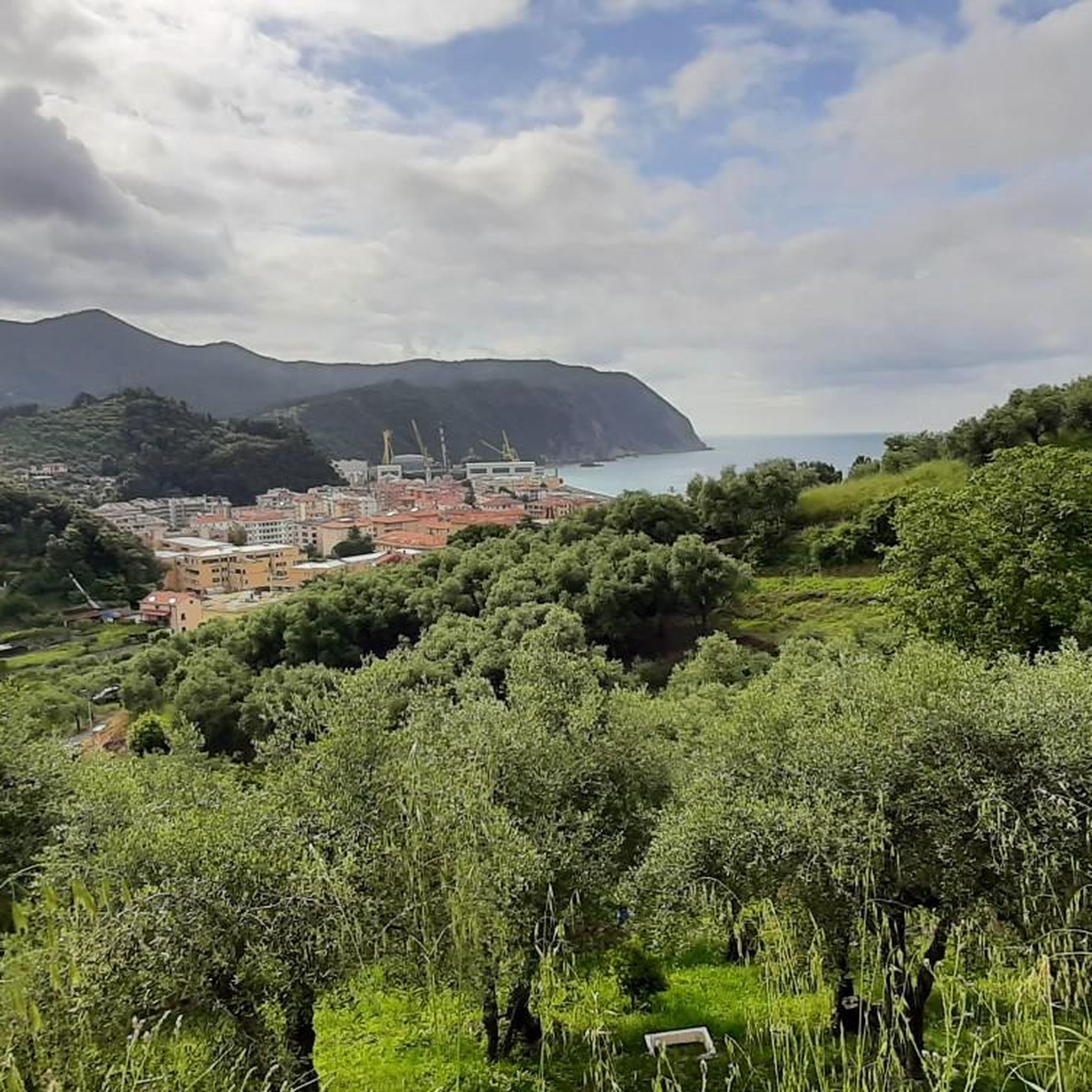
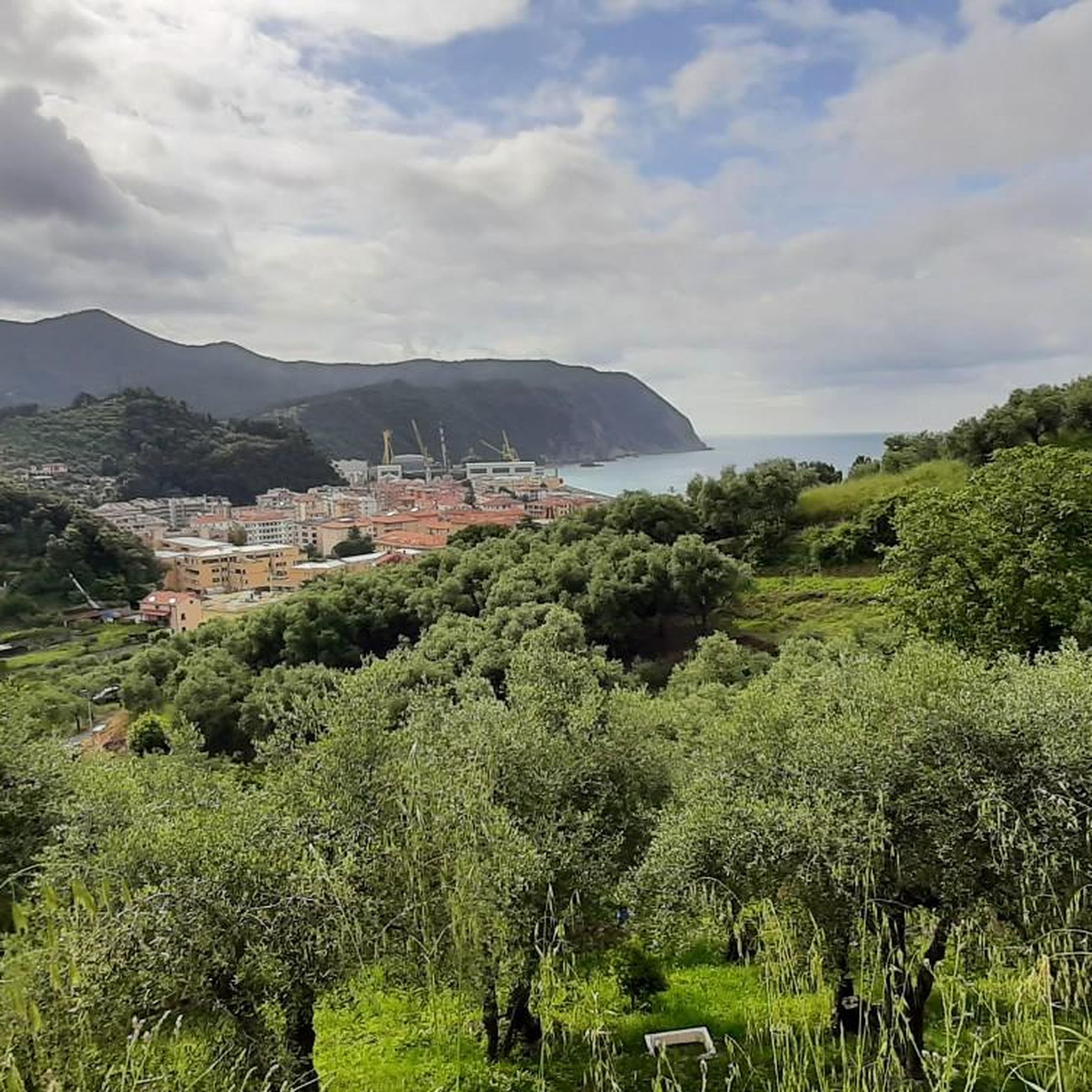
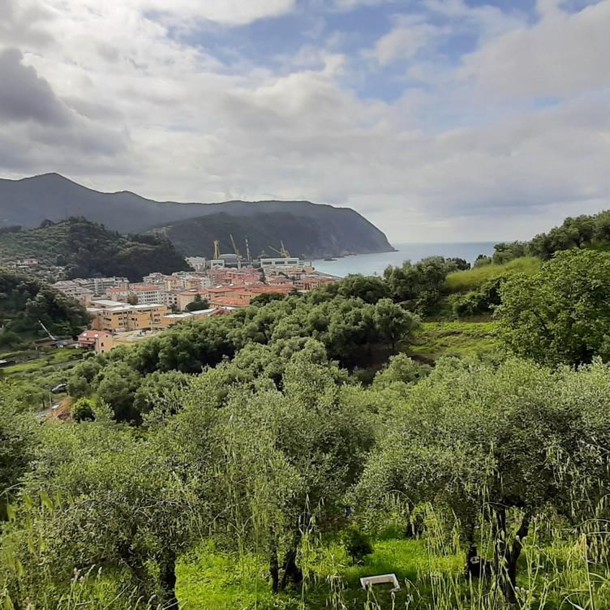
- The most popular road cycling route is View of Sestri Levante – View of Casarza…
Last updated: November 13, 2026
4.3
(18)
323
riders
37.3km
02:07
800m
800m
Moderate road ride. Good fitness required. Mostly well-paved surfaces and easy to ride.
4.4
(37)
530
riders
65.3km
03:35
1,310m
1,310m
Hard road ride. Very good fitness required. Mostly well-paved surfaces and easy to ride.

4.0
(22)
407
riders
44.3km
01:59
380m
380m
Moderate road ride. Good fitness required. Mostly well-paved surfaces and easy to ride.
4.3
(12)
360
riders
84.8km
04:23
1,490m
1,490m
Hard road ride. Very good fitness required. Mostly well-paved surfaces and easy to ride.
4.5
(12)
293
riders
51.1km
02:53
1,090m
1,090m
Hard road ride. Very good fitness required. Mostly well-paved surfaces and easy to ride.
Get access to more routes and recommendations from other explorers.
Already have an account?
Our route recommendations are based on thousands of hikes, rides, and runs completed by other people on komoot.
Start today with a free account
Your next adventure awaits.

Tips from the Community

Between the Passo and Varese Ligure, on the stretch under the jurisdiction of the Province of La Spezia, the road surface is a crime against... cyclists. When descending, you need to be very careful and ride at a very low speed so as not to risk your bike, your "rear end", and your teeth. But it's not easy at all on the climb either.
0
0

Passo del Bracco is a famous pass in the Ligurian Apennines located 615 meters above sea level along the State Road 1 Aurelia (SS1), in the province of La Spezia
0
0
The scenic road between Lavagna and Cavi is an alternative route to the Via Aurelia that skirts the hills and offers a splendid view of the sea. Main features Route: A narrow and winding road ideal for avoiding traffic on the coastal road. Activities: It is a highly recommended stretch for road cycling and scenic walks. Elevation gain: It features a slight climb of about 50 meters and a descent of 40 meters.
0
0
The Marco Pantani Fountain on the Passo di Guaitarola is a characteristic fountain for cyclists located on the pass of the same name, on the slopes of the mountain of the same name between the coast and the Passo del Bracco.
0
0
Passo della Mola (or Valico della Mola) is a mountain pass at an altitude of approximately 650-655 meters, located in Liguria, between the province of La Spezia and the metropolitan city of Genoa. It connects the coastal area to the Val di Vara (municipality of Carro). Main characteristics Altitude: 650 - 655 m a.s.l. Location: Connects the area of Carro and Velva, serving as an alternative to the better-known Passo del Bracco. Road: It is traversed via the Provincial Road 50 (SP50). The road has a narrow carriageway, generally moderate gradients, but with several curves and tight hairpin bends. Panorama: On clear days, it offers a view stretching from the Maritime Alps to the Apuan Alps.
0
0


After the fork from Bracco towards Levanto..very fresh water..🤩
1
0

Frequently Asked Questions
How many road cycling routes are available in the Punta Manara region?
The broader region around Punta Manara, particularly near Sestri Levante, offers nearly 100 road cycling routes. These routes cater to various skill levels, with options ranging from moderate loops to challenging ascents.
What kind of terrain can I expect on road cycling routes near Punta Manara?
Road cycling routes in the Punta Manara area feature diverse terrain, including scenic coastal roads, challenging climbs, and routes winding through Mediterranean vegetation and pine forests. You'll encounter significant elevation changes and picturesque views of the Ligurian Sea.
Are there routes suitable for beginners or less experienced road cyclists?
Yes, there are routes suitable for various experience levels. For those looking for a moderate ride, consider the View of Sestri Levante – View of Casarza Ligure loop from Sestri Levante, which is 13.5 miles (21.7 km) long and offers panoramic coastal views.
What are some challenging road cycling routes for experienced riders?
Experienced cyclists can find challenging routes with significant elevation gains. A notable option is the Sestri Levante Beach – Passo del Biscia loop from Sestri Levante, a 51.9 miles (83.6 km) trail known for its demanding climbs and coastal vistas. Another difficult route is the Scoffera (Municipality of Davagna) – La Bella di Torriglia loop from Sestri Levante, which covers over 116 km.
What do other cyclists say about road cycling in the Punta Manara area?
The road cycling routes in the Punta Manara region are highly rated by the komoot community, with an average score of 4.3 stars from over 400 reviews. Cyclists often praise the scenic coastal roads, challenging climbs, and the beautiful Mediterranean landscapes.
Are there any circular road cycling routes available?
Yes, many road cycling routes in the area are designed as loops. For example, the View of Sestri Levante – View of Casarza Ligure loop from Sestri Levante is a popular moderate circular route. Another option is the Bay of Silence – Ascent to the Velva Sanctuary loop from Sestri Levante, offering a moderate challenge.
What natural features or viewpoints can I see along road cycling routes in the Punta Manara area?
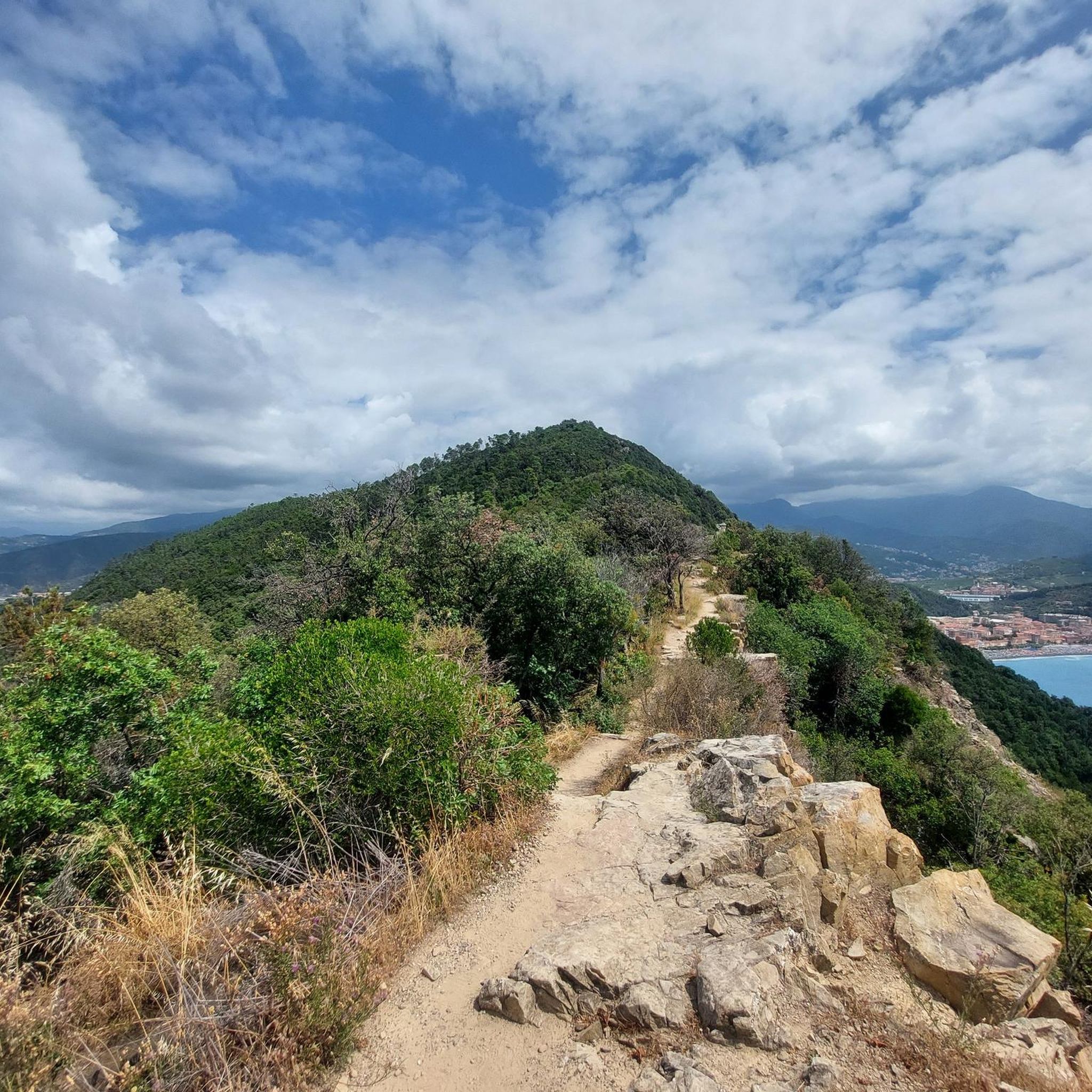
While the promontory itself is better for hiking, the surrounding road cycling routes offer stunning views. You can enjoy panoramic vistas of the Ligurian Sea and the Gulf of Tigullio. Highlights include the View of Sestri Levante and the Ligurian Sea from Punta Manara and the View of Sestri Levante and Baia del Silenzio from Punta Manara.
Are there any historical landmarks to explore near the road cycling routes?
Yes, the region has historical points of interest. While primarily on hiking trails, the broader area includes sites like the Chapel of San Nicolò and the ruins of an old Saracen watchtower (Telegrafo). You might also encounter the La Madonnetta Shrine near some routes.
What is the best time of year to go road cycling in the Punta Manara region?
The Ligurian Riviera generally offers pleasant cycling conditions for much of the year. Spring and autumn are often ideal, with milder temperatures and less crowded roads. Summer can be hot, especially on climbs, but coastal breezes can provide some relief.
Is parking available for road cyclists in the Sestri Levante area?
Yes, Sestri Levante, being the main hub for road cycling in the region, offers various parking options. You can typically find public parking areas within the town, though availability may vary depending on the season and time of day.
Can I reach the road cycling routes using public transport?
Sestri Levante is well-connected by public transport, particularly by train, making it accessible for cyclists. From Sestri Levante, you can easily start many of the road cycling routes that explore the surrounding areas.
Are there any cafes or places to stop for refreshments along the routes?
Yes, many road cycling routes in the Ligurian Riviera pass through or near charming towns and villages where you can find cafes, restaurants, and shops to refuel. Sestri Levante itself offers numerous options, and smaller villages along routes like the one towards Entella and Monte Domenico will also have places to stop.
Most popular routes in Punta Manara
Most popular attractions in Punta Manara

Get inspired with the komoot mobile app


Explore more
Browse the best Road cycling routes in other regions.
