Um Den Eichelberg Und Mahlberg (Lsg)
Um Den Eichelberg Und Mahlberg (Lsg)
The best road cycling routes in Um Den Eichelberg Und Mahlberg (Lsg)
4.7
(689)
9,842
riders
282
rides
Road cycling in Um Den Eichelberg Und Mahlberg (Lsg) offers a diverse landscape within the Black Forest, characterized by its undulating, hilly terrain. The region features significant summits like Mahlberg and Eichelberg, providing elevated perspectives and challenging ascents. Extensive forest trails wind through lush woodlands, creating varied road cycling routes. This area presents a mix of climbs and descents set against a backdrop of natural features.
Best road cycling routes in Um Den Eichelberg Und Mahlberg (Lsg)
- The most popular…
Last updated: August 4, 2026
4.9
(7)
290
riders
97.8km
04:35
1,160m
1,160m
Hard road ride. Very good fitness required. Some segments of this route may be unpaved and difficult to ride.
5.0
(3)
167
riders
102km
05:04
1,510m
1,510m
Hard road ride. Very good fitness required. Mostly well-paved surfaces and easy to ride.

Sign up for free
4.2
(5)
92
riders
Moderate road ride. Good fitness required. Mostly well-paved surfaces and easy to ride.
5.0
(5)
128
riders
54.5km
02:39
610m
610m
Moderate road ride. Good fitness required. Some segments of this route may be unpaved and difficult to ride.
5.0
(2)
63
riders
Moderate road ride. Good fitness required. Some segments of this route may be unpaved and difficult to ride.
Get access to more routes and recommendations from other explorers.
Sign up for free
Already have an account?
Our route recommendations are based on thousands of hikes, rides, and runs completed by other people on komoot.
Start today with a free account
Your next adventure awaits.
Login or Signup
Popular around Um Den Eichelberg Und Mahlberg (Lsg)
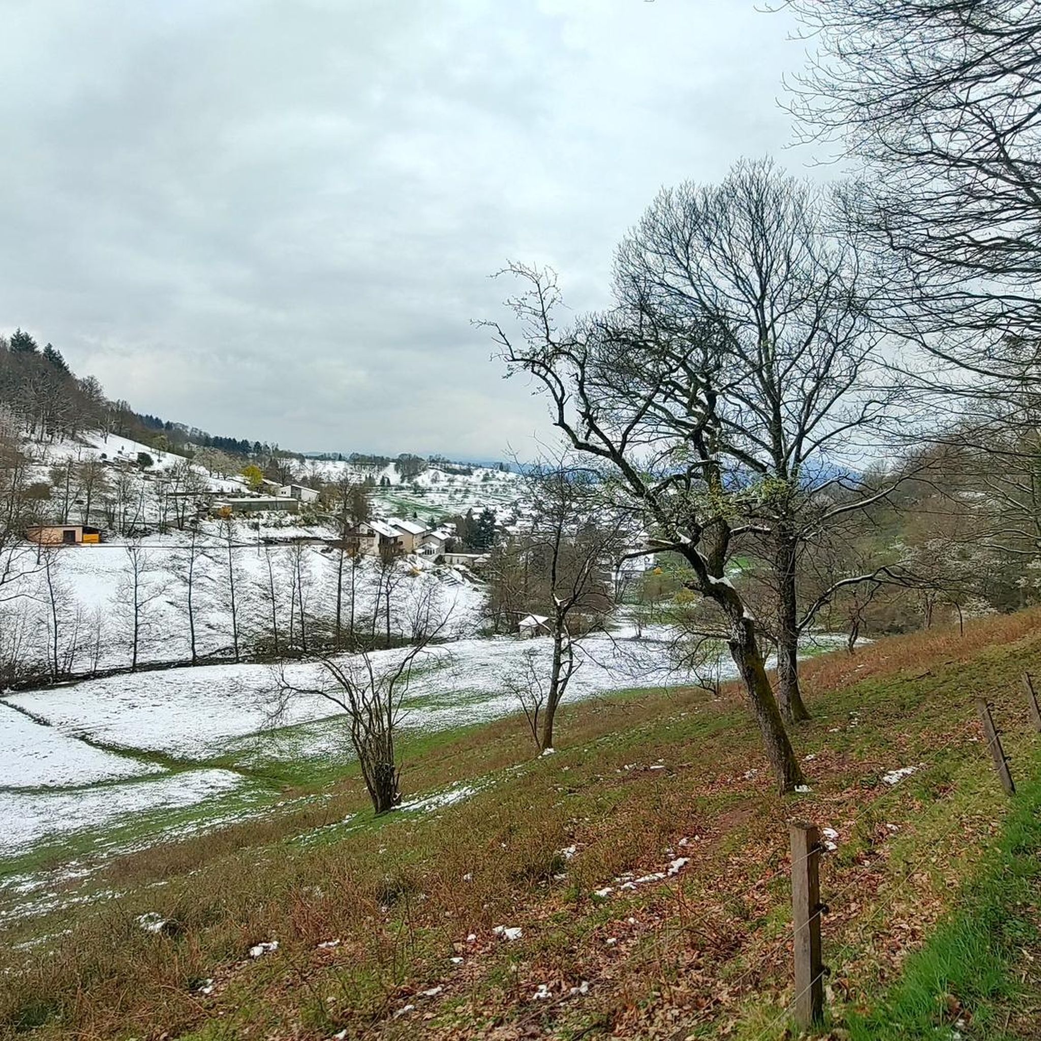
MTB Trails in Um Den Eichelberg Und Mahlberg (Lsg)
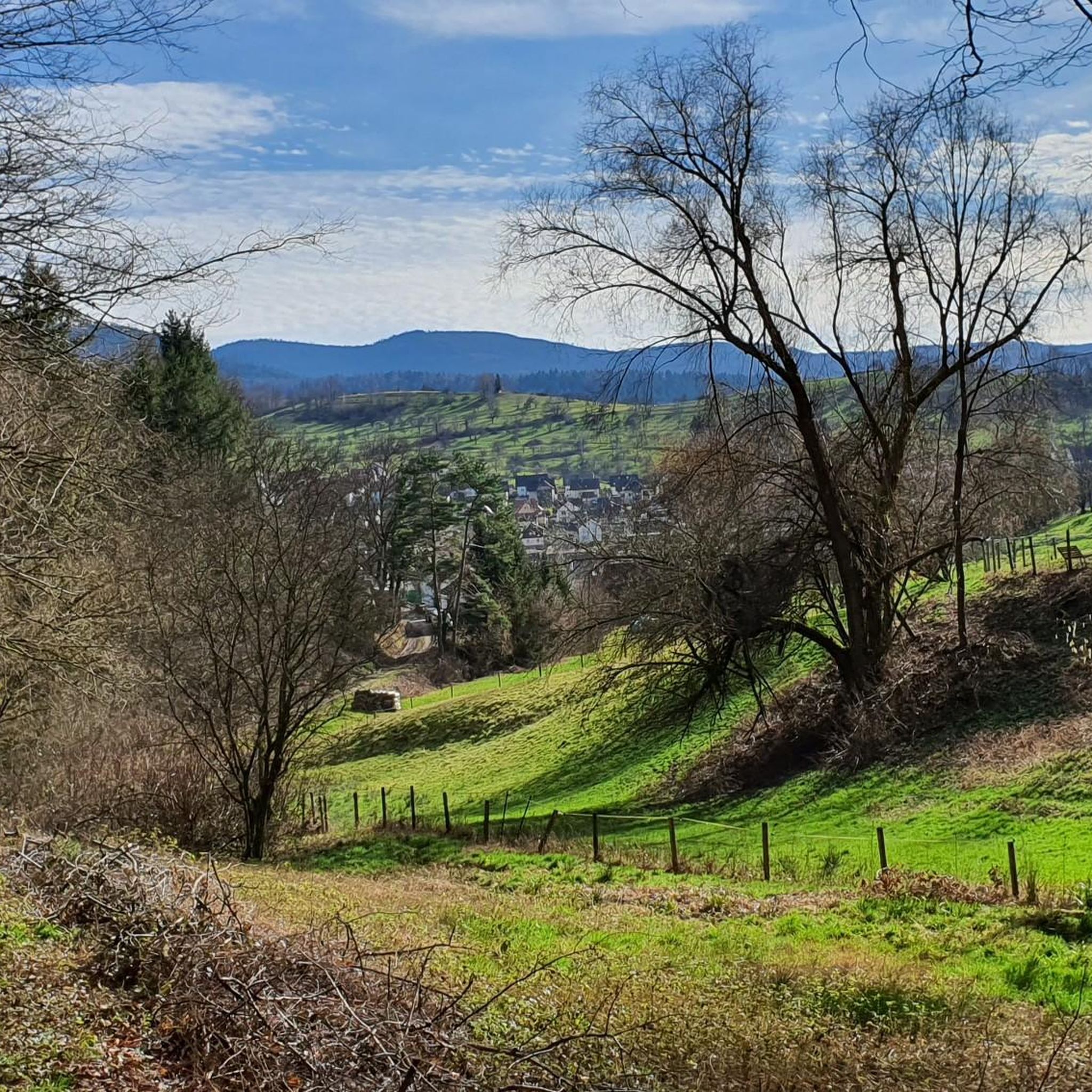
Cycling in Um Den Eichelberg Und Mahlberg (Lsg)
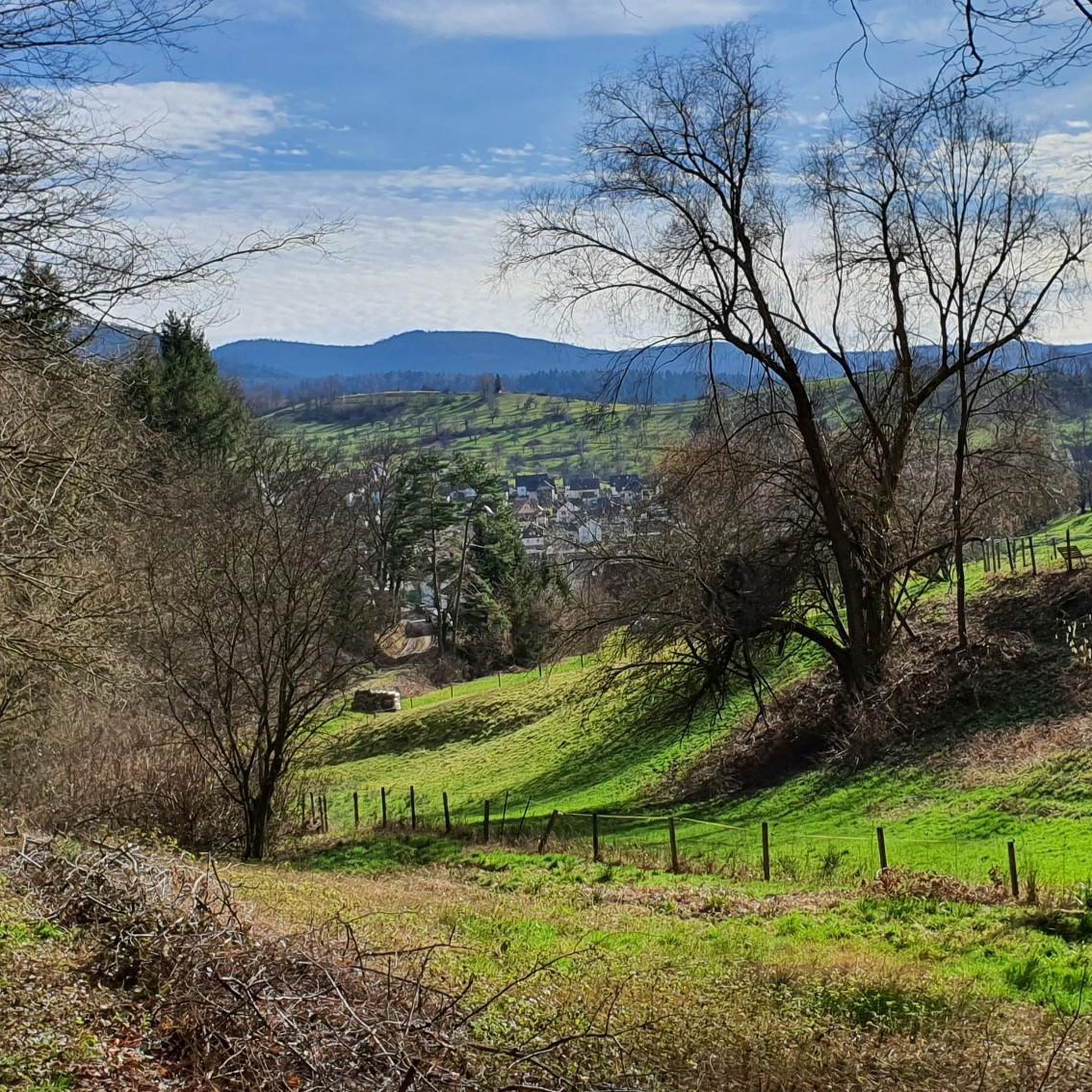
Running Trails in Um Den Eichelberg Und Mahlberg (Lsg)
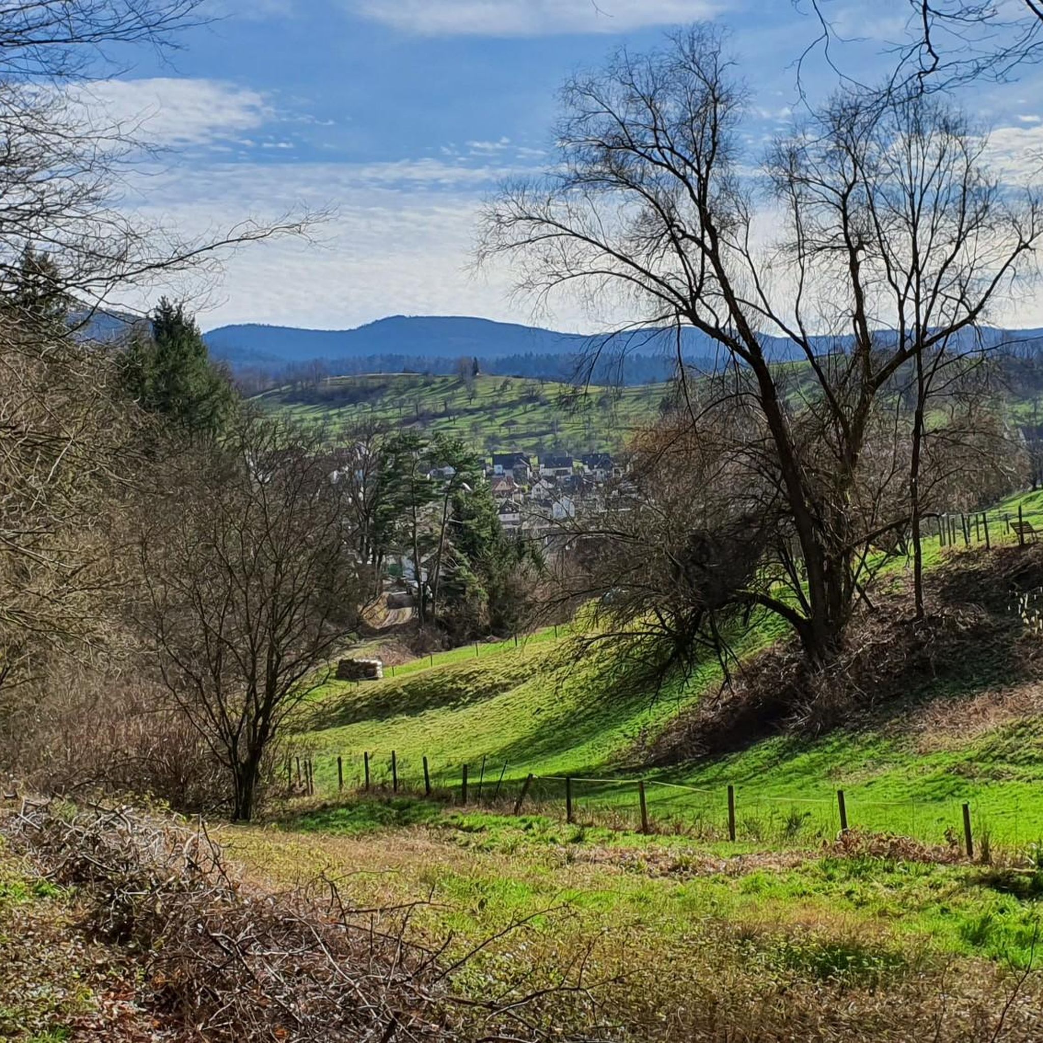
Hiking in Um Den Eichelberg Und Mahlberg (Lsg)
Gravel biking in Um Den Eichelberg Und Mahlberg (Lsg)

Mountain Hikes in Um Den Eichelberg Und Mahlberg (Lsg)
Tips from the Community

runs well, is great for road bikes
0
0

I would say it's not worth an explicit trip - but still nice to look at. There is a bike path on both sides of the valley
0
0

Scenically beautiful with great views and good surface
0
0

Very well-developed and newly asphalted cycle path, mostly off the L-road and with hardly any steep climbs
1
0

Always beautiful to look at…
0
1

Hermann-Löns-Weg (named after the "Heathland Poet") begins as a residential street at Hansjakobweg. The crossing over the Albtalbahn railway line is the only access for cars to the area west of the railway. The moderate car traffic thins out as one gets further away from the buildings. It then becomes an asphalted farm track, which eventually leads car-free to Rüppurr and Karlsruhe.
0
0

Space to sit and play
0
1

Newly paved cycle path from Busenbach to Bad Herrenalb. It's going really well.
0
0
Frequently Asked Questions
How many road cycling routes are available in Um Den Eichelberg Und Mahlberg (Lsg)?
There are over 290 road cycling routes in Um Den Eichelberg Und Mahlberg (Lsg), offering a wide variety of options for different skill levels and preferences.
What kind of terrain can I expect on road cycling routes in Um Den Eichelberg Und Mahlberg (Lsg)?
The region is characterized by its mountainous and undulating terrain within the Black Forest. You can expect significant summits like Mahlberg and Eichelberg, providing both challenging ascents and rewarding panoramic views. Routes often feature a mix of climbs and descents through lush woodlands.
Are there road cycling routes suitable for beginners or less experienced cyclists?
Yes, there are routes suitable for various fitness levels. Approximately 60 routes are classified as easy, offering a gentler introduction to road cycling in the area. For example, the Ottersdorf–Wintersdorf cycle path – Alte Landstraße loop from Gaggenau is a moderate option with less elevation gain.
Are there challenging road cycling routes for experienced cyclists?
Absolutely. The mountainous terrain provides plenty of challenges for experienced road cyclists. Over 50 routes are classified as difficult, featuring significant elevation gains. A prime example is the Rock Tunnel on the Murg – Langenbacher Steige loop from Bad Rotenfels Weinbrennerstraße, which covers 97.2 km with over 1100 meters of elevation gain.
What scenic viewpoints can I discover along road cycling routes in Um Den Eichelberg Und Mahlberg (Lsg)?
The region offers several elevated perspectives. You can find panoramic views from the Mahlberg Tower, which provides expansive vistas across the Murgtal, Hornisgrinde, Odenwald, and the Palatinate Forest. The Eichelberg Summit and Kraftplatz Sculpture also offers elevated perspectives, making it an ideal spot for those seeking an ascent from the Rhine Valley.
Are there any interesting natural monuments or attractions to see while road cycling?
Yes, the area is rich in natural features. Along your rides, you might encounter natural monuments such as the Hildebrand Spring, the Karl-Gutzweiler Fountain, or the Hunckler Spring. These spots offer tranquil breaks amidst the natural beauty.
Are there any loop road cycling routes in the area?
Many of the road cycling routes in Um Den Eichelberg Und Mahlberg (Lsg) are designed as loops, allowing you to start and end at the same point. An example is the Murgtal Rock Tunnel – Murgtal Cycle Path loop from Gaggenau, a challenging 101.6 km route with substantial climbs and descents.
Where can I find resting spots or huts along the road cycling routes?
Cyclists can find convenient resting points throughout the region. Notable spots include the Gaißstatt Hut, a refuge with seating, and the signposted Kreuzweghütte. These huts provide opportunities for breaks amidst the natural scenery.
What do other road cyclists enjoy most about road cycling in Um Den Eichelberg Und Mahlberg (Lsg)?
The area is highly rated by the komoot community, with an average score of 4.7 stars from over 600 reviews. Cyclists often praise the diverse landscape, the challenging ascents leading to panoramic views, and the extensive forest trails that make for varied and engaging rides.
Is there a moderate road cycling route that offers varied landscapes?
Yes, for a route with varied landscapes and a moderate difficulty, consider the Malsch–Ettlingen Cycle Path – Hermann-Löns-Weg loop from Bad Rotenfels Weinbrennerstraße. This 42.1 km trail can typically be completed in under two hours.
Are there road cycling routes that include climbs to higher elevations?
Many routes in the region feature significant climbs. For instance, the Climb to Freiolsheim – Ettlingen Old Town loop from Moosbronn is a moderate 54 km route that includes over 600 meters of elevation gain, offering a good workout and scenic views.
Most popular routes in Um Den Eichelberg Und Mahlberg (Lsg)
Most popular attractions in Um Den Eichelberg Und Mahlberg (Lsg)

Get inspired with the komoot mobile app


Explore more
Browse the best Road cycling routes in other regions.
