The best walks and hikes in Um Den Eichelberg Und Mahlberg (Lsg)
4.5
(20565)
84,561
hikers
10
hikes
Hiking trails in Um Den Eichelberg Und Mahlberg (Lsg) traverse a diverse landscape within the Central/North Black Forest Nature Park. The region features mountainous terrain, dense forests, and protected nature reserves, offering varied topography for exploration. Prominent points like the Mahlberg Tower provide expansive 360-degree panoramic views of the Murgtal, Hornisgrinde, and the Upper Rhine Plain. Rivers such as the Moosalb and Michelbach flow through the area, contributing to its natural character.
Best hiking trails in Um Den Eichelberg Und…
Last updated: May 12, 2026
4.8
(4)
16
hikers
3.65km
01:13
180m
180m
Easy hike. Great for any fitness level. Easily-accessible paths. Suitable for all skill levels.
4.5
(2)
11
hikers
4.84km
01:30
170m
170m
Easy hike. Great for any fitness level. Easily-accessible paths. Suitable for all skill levels.

Sign up for free
3.0
(1)
11
hikers
9.48km
02:44
240m
240m
Moderate hike. Good fitness required. Easily-accessible paths. Suitable for all skill levels.
5.0
(2)
10
hikers
7.12km
02:13
290m
290m
Moderate hike. Good fitness required. Easily-accessible paths. Suitable for all skill levels.
5.0
(2)
5
hikers
5.05km
01:24
90m
90m
Easy hike. Great for any fitness level. Easily-accessible paths. Suitable for all skill levels.
Get access to more routes and recommendations from other explorers.
Sign up for free
Already have an account?
Our route recommendations are based on thousands of hikes, rides, and runs completed by other people on komoot.
Start today with a free account
Your next adventure awaits.
Login or Signup
Popular around Um Den Eichelberg Und Mahlberg (Lsg)
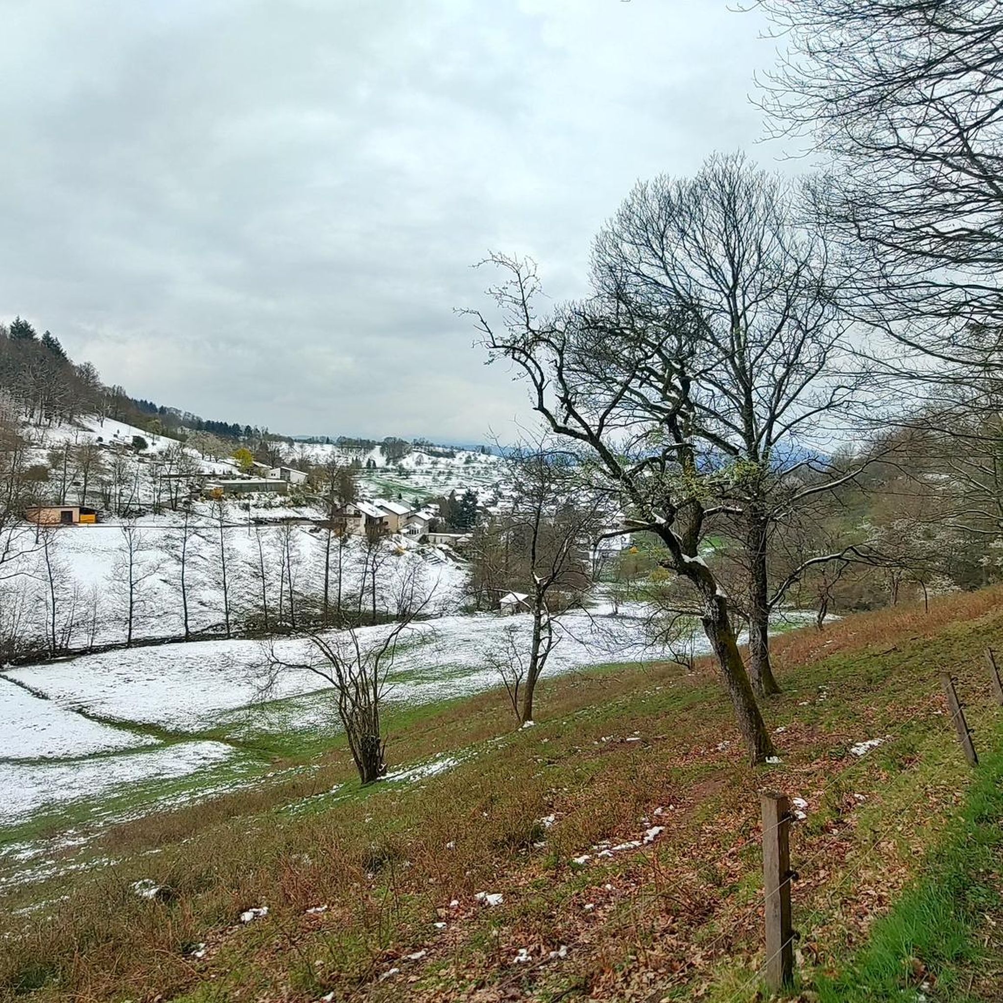
MTB Trails in Um Den Eichelberg Und Mahlberg (Lsg)
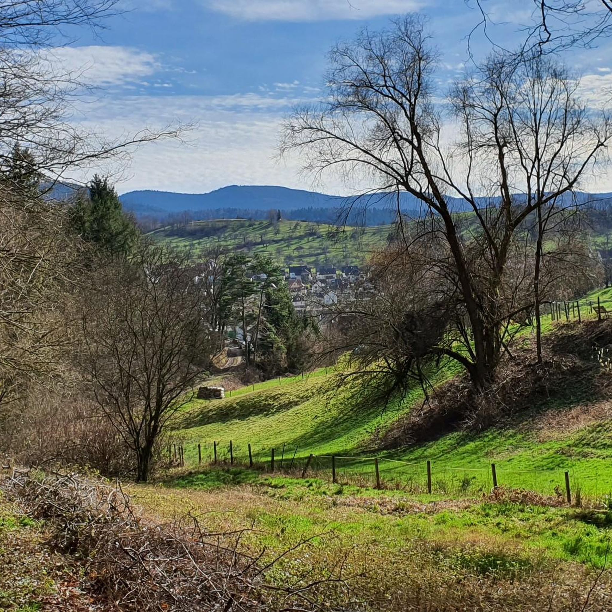
Cycling in Um Den Eichelberg Und Mahlberg (Lsg)
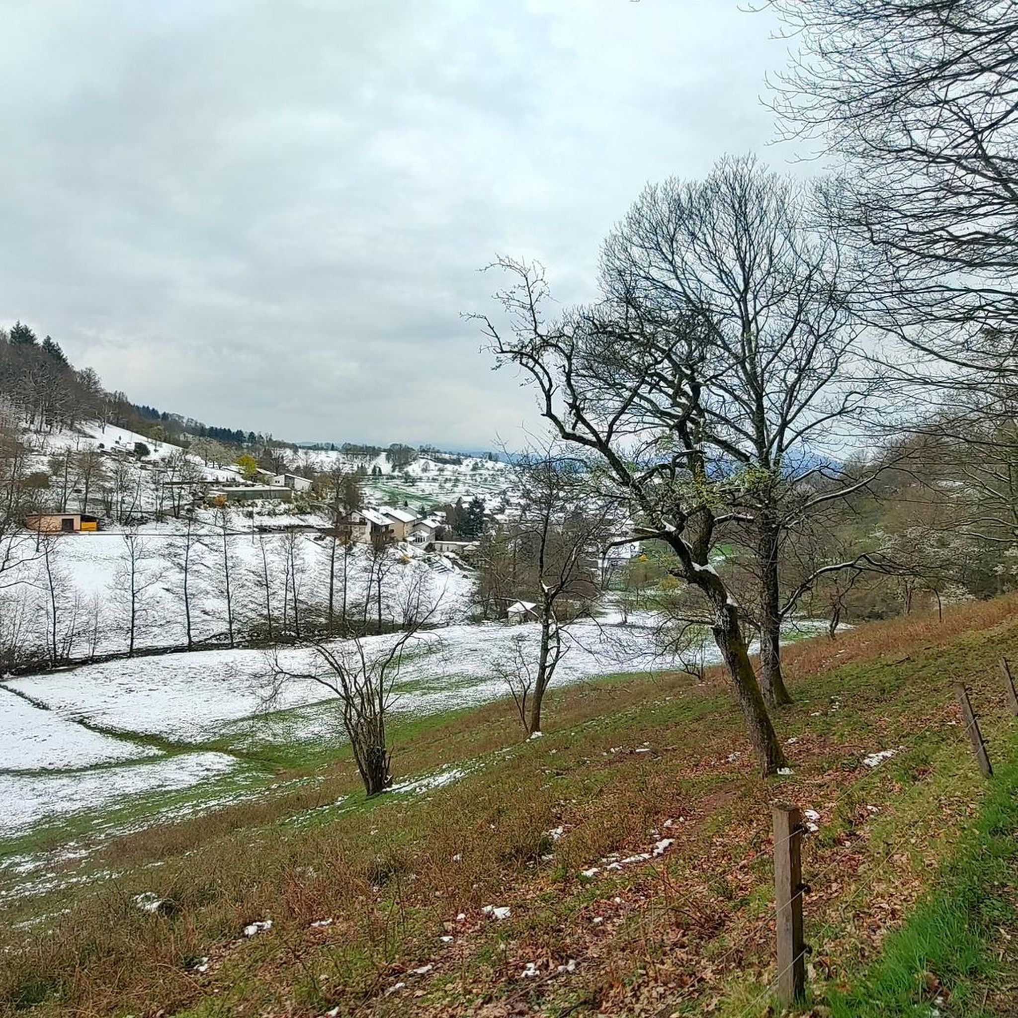
Road Cycling Routes in Um Den Eichelberg Und Mahlberg (Lsg)
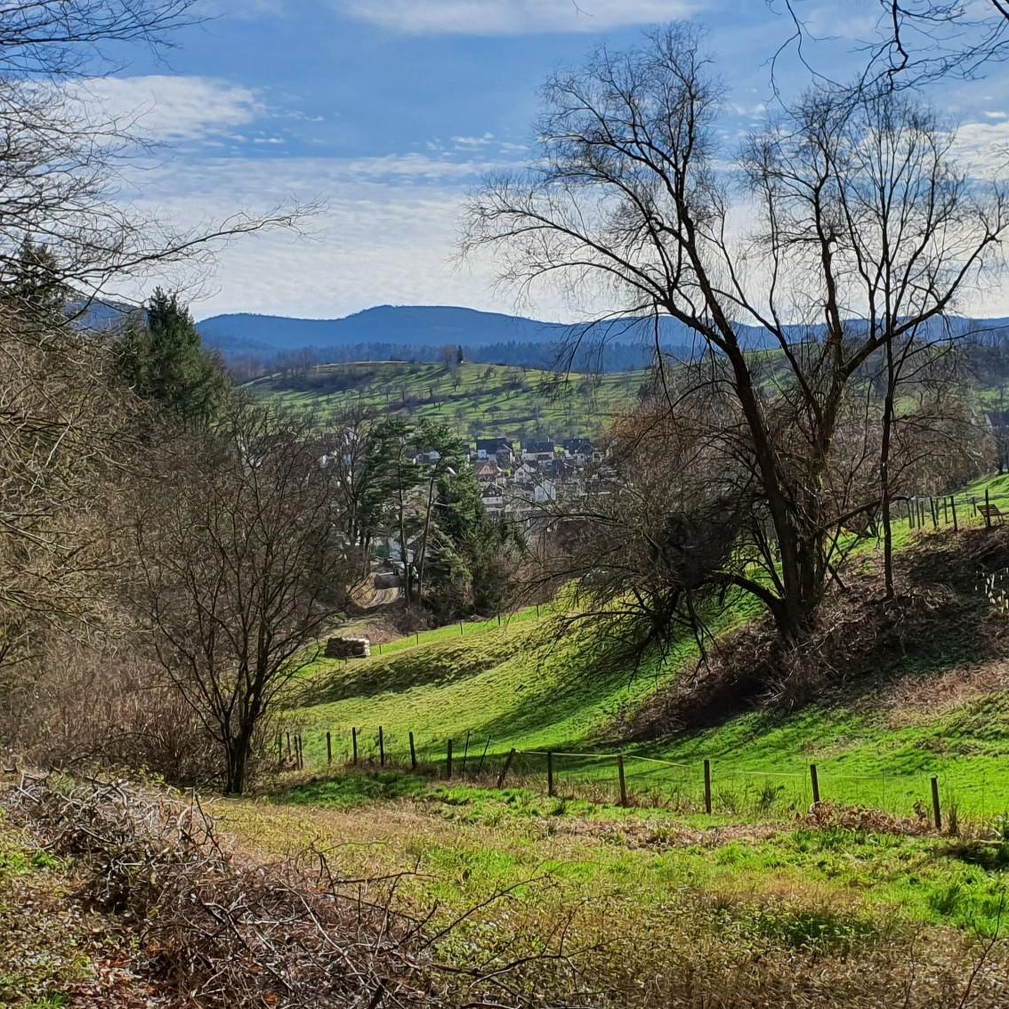
Running Trails in Um Den Eichelberg Und Mahlberg (Lsg)
Gravel biking in Um Den Eichelberg Und Mahlberg (Lsg)

Mountain Hikes in Um Den Eichelberg Und Mahlberg (Lsg)
Tips from the Community

Historic wayside shrine from 1826 at a crossroads, where the pilgrimage route between Michelbach and Moosbronn used to lead.
3
0
Quite massive boundary stones on the former border between the Kingdom of Württemberg and the Grand Duchy of Baden with the year 1791.
4
0
On the Mahlberg, not far from the tower, there are two soldiers' graves, of German soldiers who fell on April 10, 1945, shortly before the end of the war. An information board provides the historical context.
4
0

The wayside shrine with the prayer "Mary help," dating from 1859, is in good condition. It was probably restored elsewhere around May 2021.
1
2

My wife has already enjoyed tea and homemade marble cake here this winter. It's simply wonderful. And it's beautifully quiet. At least during the week.
2
0
A lovely place to take a break right next to the tower. There are seating areas, as well as outside seating.
2
0

Direct view of Gaggenau and the Merkur
0
0
Frequently Asked Questions
How many hiking trails are available in Um Den Eichelberg Und Mahlberg (Lsg)?
There are over 10 hiking trails in Um Den Eichelberg Und Mahlberg (Lsg), offering a variety of experiences for different skill levels. You'll find everything from easy walks to more challenging ascents through mountainous terrain and dense forests.
What kind of terrain can I expect on the hiking trails in this region?
The trails in Um Den Eichelberg Und Mahlberg (Lsg) feature a diverse landscape, including mountainous terrain, dense forests, and open sections. Some paths can be narrow and exposed, with natural ground, roots, and stones, requiring sure-footedness. You'll also encounter rivers like the Moosalb and Michelbach.
What are some notable landmarks or viewpoints to see while hiking?
A prominent landmark is the Mahlberg Tower, offering expansive 360-degree panoramic views. You can also explore the Eichelberg Summit and Kraftplatz Sculpture, visit the historic Gaißstatt Hut, or discover the Hildebrand Spring.
Are there family-friendly hiking options in Um Den Eichelberg Und Mahlberg (Lsg)?
Yes, the region offers several easy trails suitable for families. For instance, the View of the Murg Valley – Mahlberg Tower loop from Michelbach is an easy 2.3-mile route that takes about an hour and includes the Mahlberg Tower, making it a great option for a shorter family outing.
Can I bring my dog on the trails in Um Den Eichelberg Und Mahlberg (Lsg)?
Many trails in Um Den Eichelberg Und Mahlberg (Lsg) are dog-friendly, allowing you to enjoy the natural beauty with your canine companion. It's always recommended to keep dogs on a leash, especially in nature reserves, and to respect local regulations.
Are there circular hiking routes available?
Yes, many routes in the area are circular, allowing you to start and end at the same point. An example is the Gaißstatt Hut – Kreuzweghütte loop from Michelbach, a moderate 5.9-mile trail that leads through dense woodlands and past historic huts.
Where can I find parking near the trailheads?
Parking is generally available at common starting points for hikes, such as near Michelbach or Aspenklamm. Specific parking information can often be found on individual route descriptions on komoot or local signage.
What is the best time of year to hike in Um Den Eichelberg Und Mahlberg (Lsg)?
The region is suitable for hiking throughout much of the year. While spring and autumn offer pleasant temperatures and vibrant scenery, the area also provides options for winter hikes. Always check local weather conditions before heading out.
Are there places to rest or have a picnic along the trails?
Yes, the area is well-equipped with resting spots. The Mahlberg Tower has a nearby refuge hut with a public barbecue area. You'll also find historic huts like the Gaißstatt Hut and Kreuzweghütte, which offer seating and tables for hikers to take a break.
What do other hikers enjoy most about the trails in Um Den Eichelberg Und Mahlberg (Lsg)?
The trails in Um Den Eichelberg Und Mahlberg (Lsg) are highly rated by the komoot community, with an average score of 4.5 stars from over 19,000 reviews. Hikers often praise the diverse landscapes, the stunning panoramic views from spots like the Mahlberg Tower, and the well-maintained forest paths that cater to various fitness levels.
Are there any challenging hikes for experienced trekkers?
While many routes are easy to moderate, the mountainous terrain of the Black Forest offers more strenuous ascents for experienced hikers. Trails leading to the Eichelberg Summit, especially from the Rhine Valley, can be quite challenging and rewarding.
What are the typical durations for hikes in this region?
Hikes in Um Den Eichelberg Und Mahlberg (Lsg) vary in duration. Shorter, easy routes like the View of the Murg Valley – Mahlberg Tower loop can be completed in just over an hour, while longer, moderate trails such as the Gaißstatt Hut – Kreuzweghütte loop might take around 2 hours 45 minutes. There are options for quick walks or longer day trips.
Most popular routes in Um Den Eichelberg Und Mahlberg (Lsg)
Most popular attractions in Um Den Eichelberg Und Mahlberg (Lsg)

Get inspired with the komoot mobile app


Explore more
Browse the best Hikes in other regions.
