Tschirner Und Nordhalbener Ködeltal Mit Mäusbeutel
Tschirner Und Nordhalbener Ködeltal Mit Mäusbeutel
The best road cycling routes in Tschirner Und Nordhalbener Ködeltal Mit Mäusbeutel
4.9
(75)
792
riders
83
rides
Road cycling routes in Tschirner Und Nordhalbener Ködeltal Mit Mäusbeutel traverse a diverse landscape characterized by natural stream courses, floodplain areas, and significant elevation changes. The region features well-maintained paths, including an exceptional cycle path on a former railway line known for its nearly flat terrain. This area, which includes the Tschirner und Nordhalbener Ködeltal mit Mäusbeutel Nature Reserve, offers routes ranging from easy rides to challenging ascents, with historical "Floßteiche" (rafting ponds) and the picturesque Tschirner Ködel Furt adding…
Last updated: May 14, 2026
4.9
(9)
100
riders
Moderate road ride. Good fitness required. Some segments of this route may be unpaved and difficult to ride.
5.0
(1)
10
riders
62.6km
03:15
900m
900m
Moderate road ride. Good fitness required. Mostly well-paved surfaces and easy to ride.

Sign up for free
17
riders
69.2km
03:07
650m
660m
Moderate road ride. Good fitness required. Some segments of this route may be unpaved and difficult to ride.
5.0
(2)
16
riders
32.5km
01:41
470m
480m
Moderate road ride. Good fitness required. Mostly well-paved surfaces and easy to ride.
12
riders
Hard road ride. Very good fitness required. Mostly well-paved surfaces and easy to ride.
Get access to more routes and recommendations from other explorers.
Sign up for free
Already have an account?
Our route recommendations are based on thousands of hikes, rides, and runs completed by other people on komoot.
Start today with a free account
Your next adventure awaits.
Login or Signup
Popular around Tschirner Und Nordhalbener Ködeltal Mit Mäusbeutel
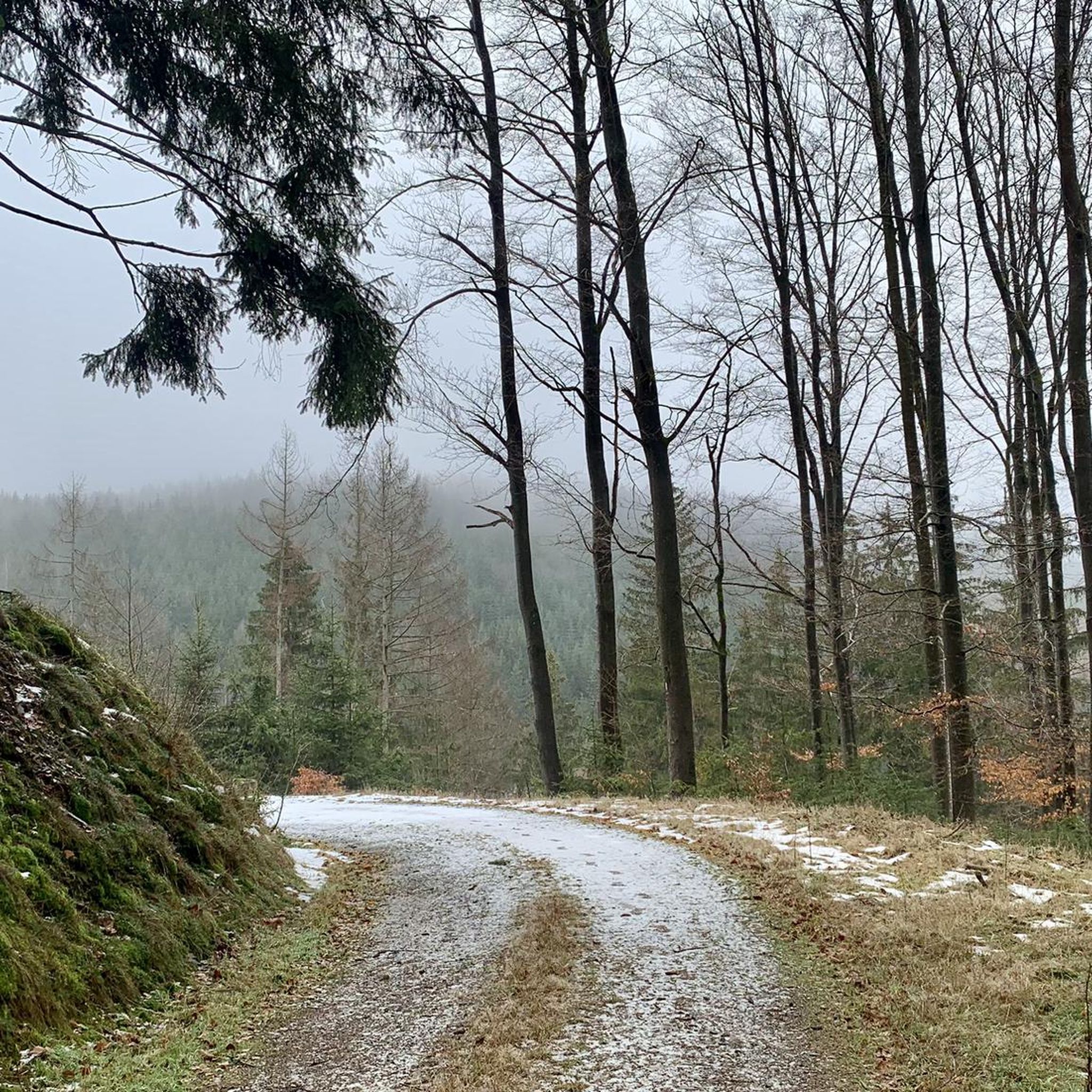
Hiking in Tschirner Und Nordhalbener Ködeltal Mit Mäusbeutel
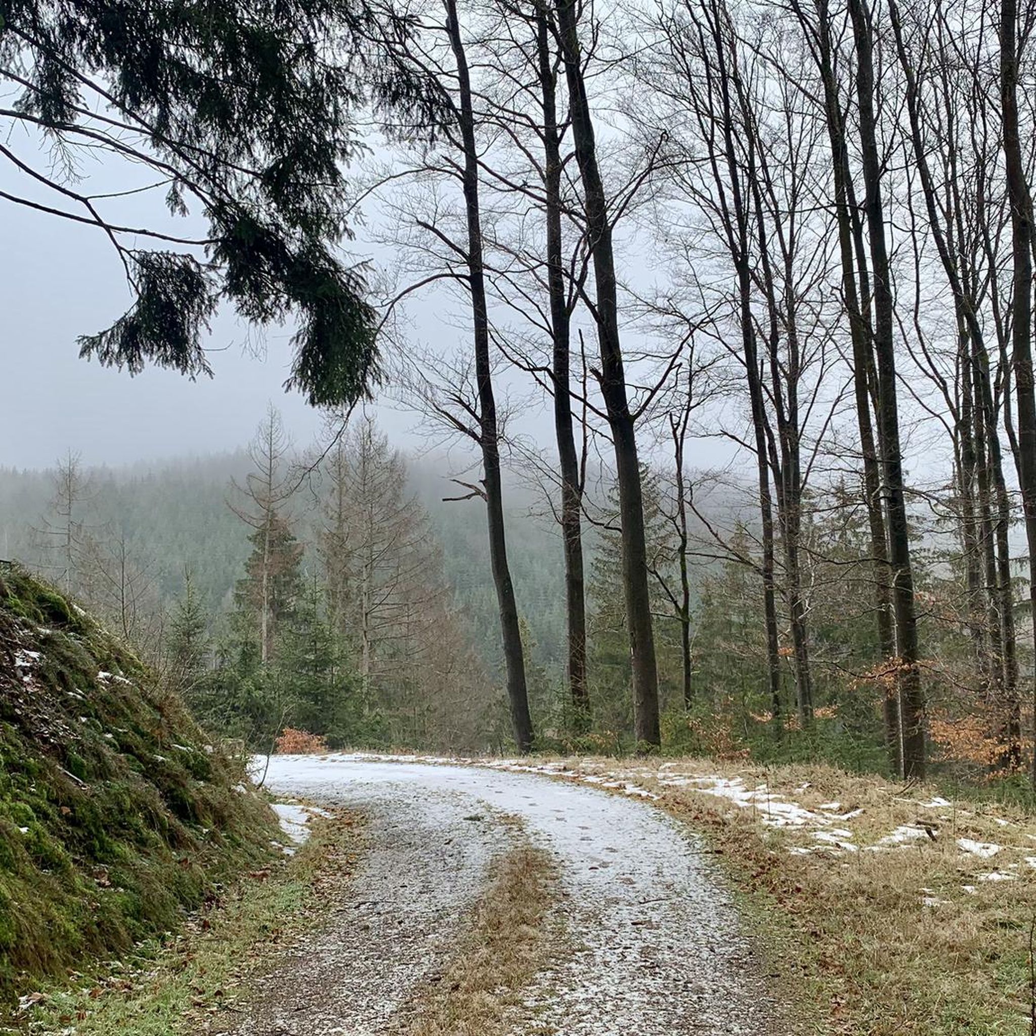
Cycling in Tschirner Und Nordhalbener Ködeltal Mit Mäusbeutel
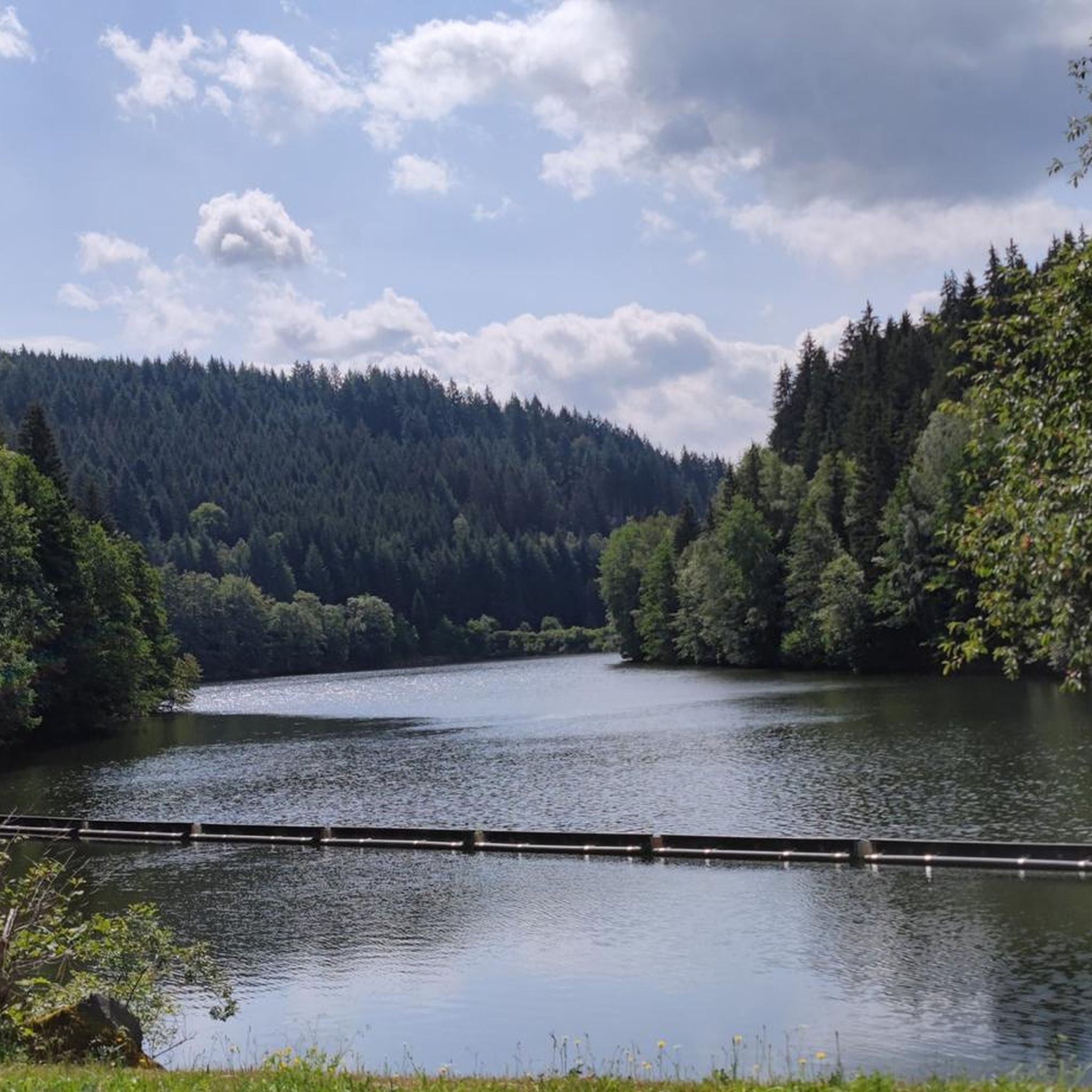
Running Trails in Tschirner Und Nordhalbener Ködeltal Mit Mäusbeutel
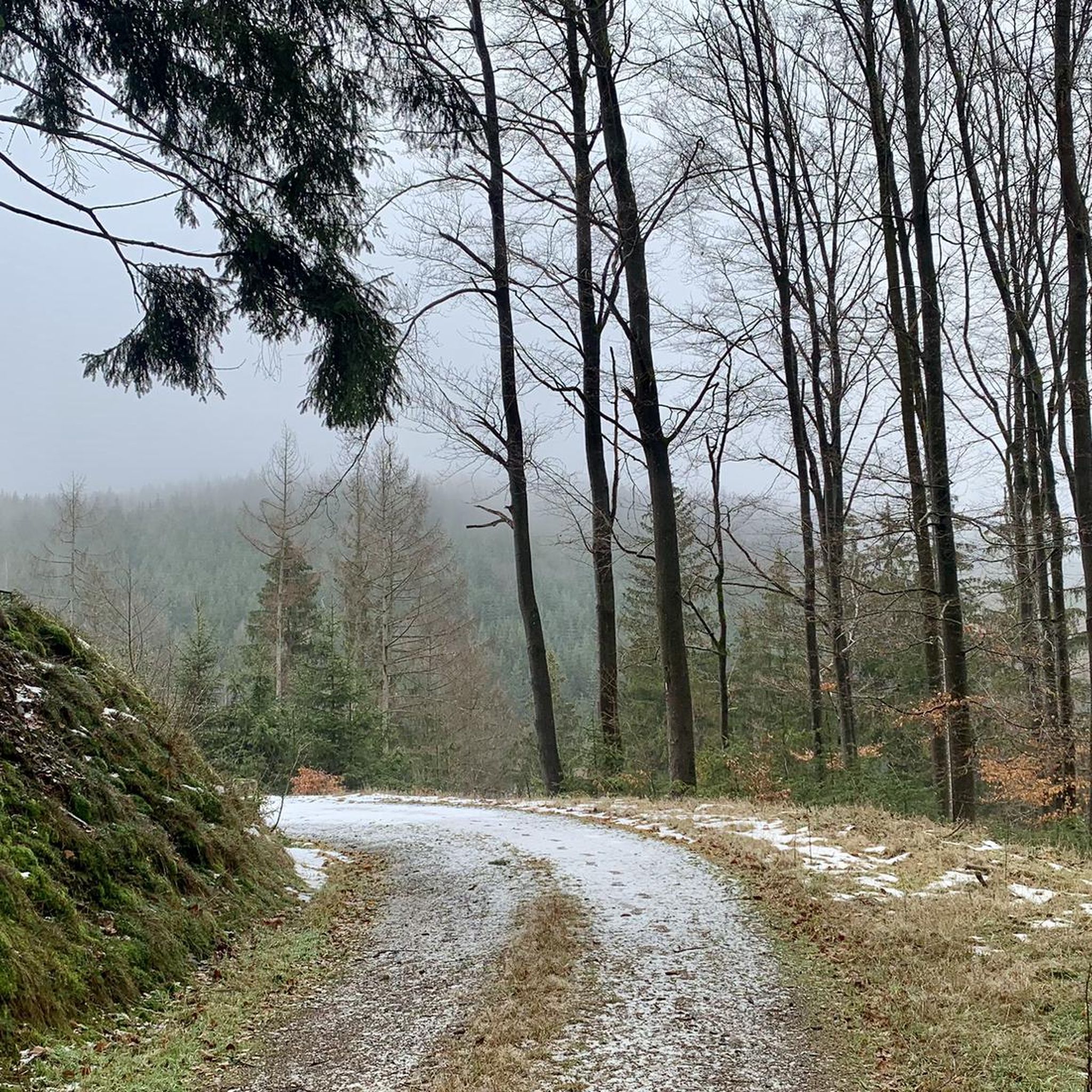
MTB Trails in Tschirner Und Nordhalbener Ködeltal Mit Mäusbeutel
Gravel biking in Tschirner Und Nordhalbener Ködeltal Mit Mäusbeutel
Tips from the Community

An excellent cycle path on the former railway line. It's almost completely flat, free of potholes and uneven surfaces. The route is also relatively quiet, making it ideal for really picking up speed. The surrounding scenery is particularly charming. Overall, this cycle path is highly recommended.
0
0

A little reminder that you are traveling on a former railway line.
0
0

The Luther Church in Bad Steben was an architectural gem at the time of its construction. The material it was built from was only used for the second time in a church in Germany during its construction: reinforced concrete. With its slate slabs on the exterior surfaces, the red-tiled roofs, and the stone-decorated corners of the facade, the design reflects the Heimatstil (local style) that emerged in the 1870s. Its consecration took place on October 9, 1910, and it received its name even later.
17
0

Walking around the Ködel is like a day on vacation. You'll find shady and lovely sunny spots everywhere. Wonderful 👍
0
0

Beautiful route and easy to ride on a racing bike.
0
0


I was particularly fascinated by the Art Nouveau choir room.
3
0

Popular photo point: A small wooden train commemorates the former Döbrastöcken stop on the beautiful railway cycle path.
0
0
Frequently Asked Questions
What types of road cycling routes can I expect in Tschirner Und Nordhalbener Ködeltal Mit Mäusbeutel?
The region offers a diverse range of road cycling routes, from easy, almost flat paths suitable for beginners to more challenging tours with significant elevation gains. A notable feature is an exceptional cycle path on a former railway line, praised for its nearly flat, well-maintained terrain, perfect for picking up speed. Overall, there are over 80 road cycling routes available, catering to various fitness levels.
Are there any easy road cycling routes suitable for beginners or families?
Yes, the area includes several easy routes. The former railway line path is particularly recommended for its gentle gradients and smooth surface, making it ideal for those looking for a relaxed ride or for families. While specific family-friendly routes are not detailed, the presence of these easy, flat sections suggests good options for less experienced cyclists.
What are some challenging road cycling routes for experienced riders?
For experienced cyclists seeking a challenge, routes like the Covered bridge over the Rodach River – Path Along the Wilde Rodach loop from Nordhalben, covering 47.5 miles (76.4 km) with significant elevation, offer a demanding experience. Another difficult option is the Lichtentanner Tower – Slate architecture in Lehesten loop from Nordhalben, which spans 65.4 km and features nearly 1000 meters of ascent.
What natural features and landmarks can I see along the road cycling routes?
The routes traverse a landscape rich in natural beauty and historical sites. You can encounter natural stream courses and floodplain areas within the Tschirner und Nordhalbener Ködeltal mit Mäusbeutel Nature Reserve. Highlights include the picturesque Tschirner Ködel Ford (with a steel bridge alternative), and the historical Alter Tschirner Pond, which are valuable biotopes. Along some railway cycle paths, you might also spot the Döbrastöcken Wooden Train Sculpture.
Are there any circular road cycling routes in the region?
Yes, many of the routes are designed as loops, allowing you to start and end at the same point. Examples include the popular View of the Ködeltalsperre – Ködeltalsperre loop from Nordhalben and the Humboldthaus – Quarry Lake at Steinbühl loop from Titschendorf.
What is the terrain like for road cycling in Tschirner Und Nordhalbener Ködeltal Mit Mäusbeutel?
The terrain is quite varied. You'll find smooth, well-maintained asphalt paths, especially on sections utilizing former railway lines. However, other routes can feature significant elevation changes, traversing hilly landscapes. While most road cycling routes are paved, some very challenging segments might include unpaved sections where pushing your bike could be necessary.
What do other road cyclists say about the routes in this area?
The road cycling routes in Tschirner Und Nordhalbener Ködeltal Mit Mäusbeutel are highly regarded by the komoot community, holding an average rating of 4.8 out of 5 stars from over 90 reviews. Cyclists often praise the diverse terrain, from the smooth railway paths to the challenging ascents, and the natural beauty of the region.
Is public transport available to access the cycling routes?
While specific public transport connections directly to trailheads are not detailed, the region is generally accessible. It's advisable to check local bus or train schedules for connections to towns like Nordhalben or Titschendorf, which serve as starting points for many routes.
Are there cafes or pubs near the road cycling routes for a break?
The region has various towns and villages, such as Nordhalben, Titschendorf, and Tschirn, which likely offer cafes, pubs, or snack bars for refreshments. For example, the Rodacherbrunn Shelter – Reile am Rennsteig Tavern & Snack Bar loop from Nordhalben specifically mentions a tavern and snack bar, indicating that such amenities are available along or near routes.
What is the best time of year for road cycling in Tschirner Und Nordhalbener Ködeltal Mit Mäusbeutel?
The region is suitable for outdoor activities, including cycling, throughout much of the year. Spring and autumn generally offer pleasant temperatures and beautiful scenery. Summer is also a good option, though some routes might be more exposed to the sun. It's always recommended to check the local weather conditions before heading out.
Can I bring my dog on the road cycling routes?
While the region is generally dog-friendly for outdoor activities, specific regulations for dogs on road cycling paths are not detailed. It's always best to keep dogs on a leash, especially in nature reserve areas, and to be mindful of other cyclists and pedestrians. Some routes may pass through areas where dogs are restricted, so checking local signage is advised.
Where can I find parking for road cycling routes in the area?
Parking is generally available in the towns and villages that serve as starting points for the routes, such as Nordhalben, Titschendorf, and Tschirn. Look for designated parking areas or public car parks within these communities to access the trail network conveniently.
Most popular routes in Tschirner Und Nordhalbener Ködeltal Mit Mäusbeutel
Most popular attractions in Tschirner Und Nordhalbener Ködeltal Mit Mäusbeutel

Get inspired with the komoot mobile app


Explore more
Browse the best Road cycling routes in other regions.
