The best walks and hikes in Tschirner Und Nordhalbener Ködeltal Mit Mäusbeutel
4.7
(5170)
17,659
hikers
962
hikes
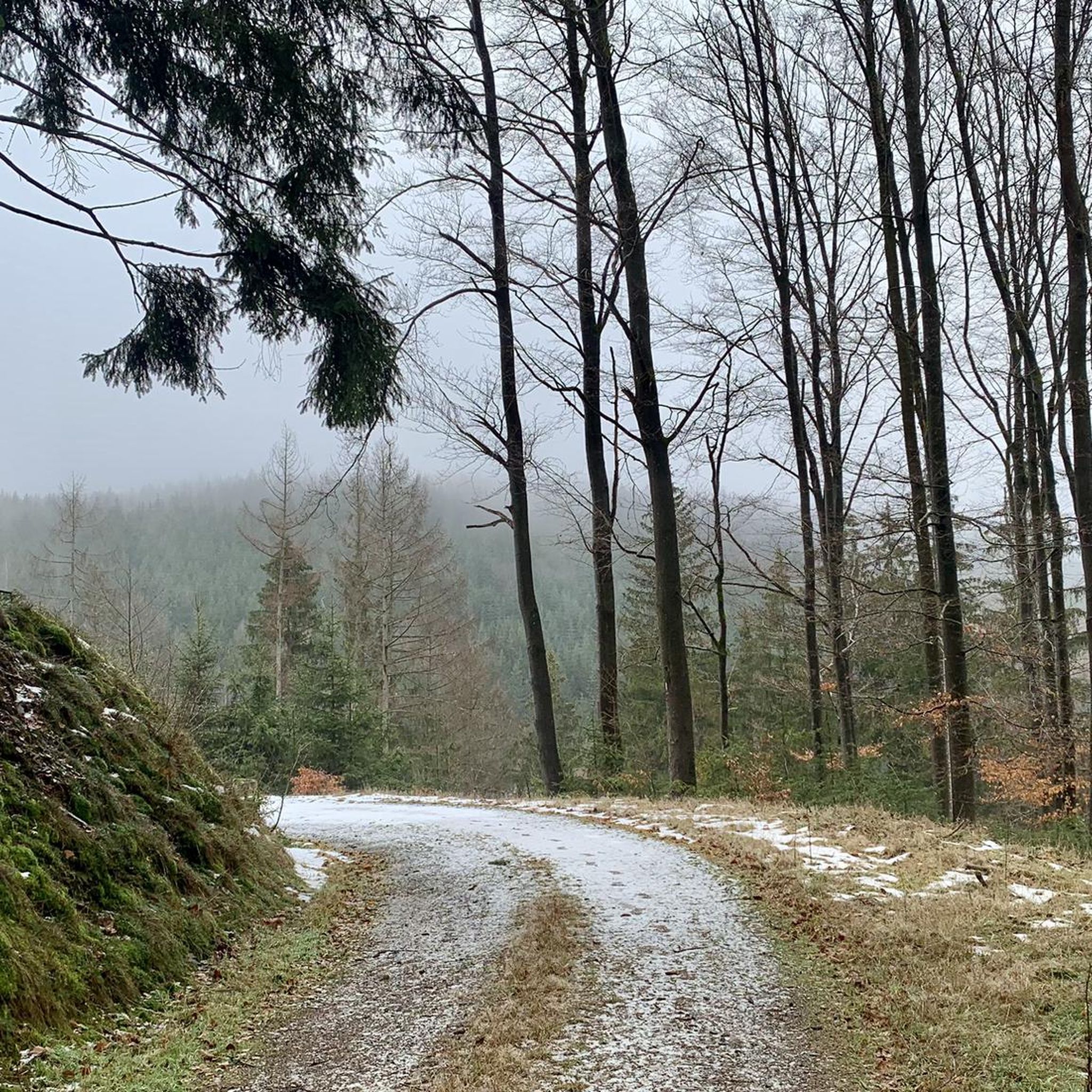
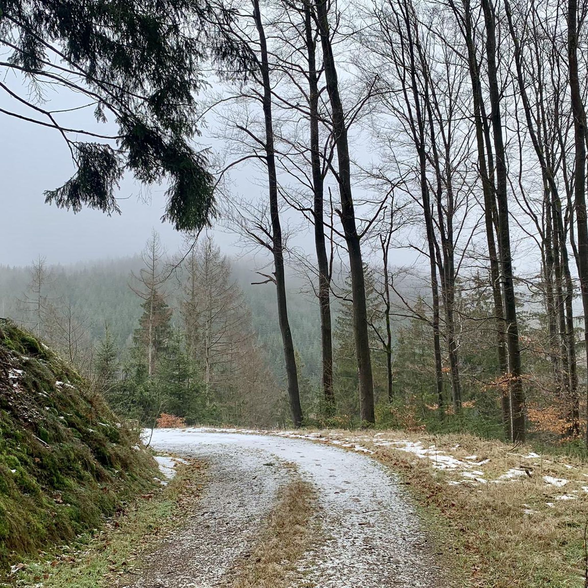
Hiking trails in Tschirner Und Nordhalbener Ködeltal Mit Mäusbeutel traverse a diverse landscape characterized by natural stream courses, floodplains, and rich hillside forests. The region, designated as a nature reserve, features moor and grassland habitats, alongside historic rafting ponds now serving as valuable biotopes. The terrain includes varied elevations and natural features, offering a range of hiking experiences.
Best hiking trails in Tschirner Und Nordhalbener Ködeltal Mit Mäusbeutel
- The most popular hiking route is Gareis Chapel – Grümpel rafting pond…
Last updated: May 14, 2026
4.8
(9)
24
hikers
4.86km
01:29
160m
160m
Moderate hike. Great for any fitness level. Mostly accessible paths. Sure-footedness required.
4.3
(10)
20
hikers
15.4km
04:17
290m
290m
Moderate hike. Good fitness required. Easily-accessible paths. Suitable for all skill levels.

Sign up for free
4.8
(16)
53
hikers
15.9km
04:37
400m
400m
Moderate hike. Good fitness required. Mostly accessible paths. Sure-footedness required.
5.0
(2)
8
hikers
15.4km
04:21
320m
320m
Moderate hike. Good fitness required. Easily-accessible paths. Suitable for all skill levels.
5.0
(3)
8
hikers
4.93km
01:21
80m
80m
Easy hike. Great for any fitness level. Easily-accessible paths. Suitable for all skill levels.
Get access to more routes and recommendations from other explorers.
Sign up for free
Already have an account?
Our route recommendations are based on thousands of hikes, rides, and runs completed by other people on komoot.
Start today with a free account
Your next adventure awaits.
Login or Signup
Popular around Tschirner Und Nordhalbener Ködeltal Mit Mäusbeutel
Cycling in Tschirner Und Nordhalbener Ködeltal Mit Mäusbeutel
Running Trails in Tschirner Und Nordhalbener Ködeltal Mit Mäusbeutel
Road Cycling Routes in Tschirner Und Nordhalbener Ködeltal Mit Mäusbeutel
MTB Trails in Tschirner Und Nordhalbener Ködeltal Mit Mäusbeutel
Gravel biking in Tschirner Und Nordhalbener Ködeltal Mit Mäusbeutel
Tips from the Community

Here you can choose whether to walk left or right or do other activities.
0
0
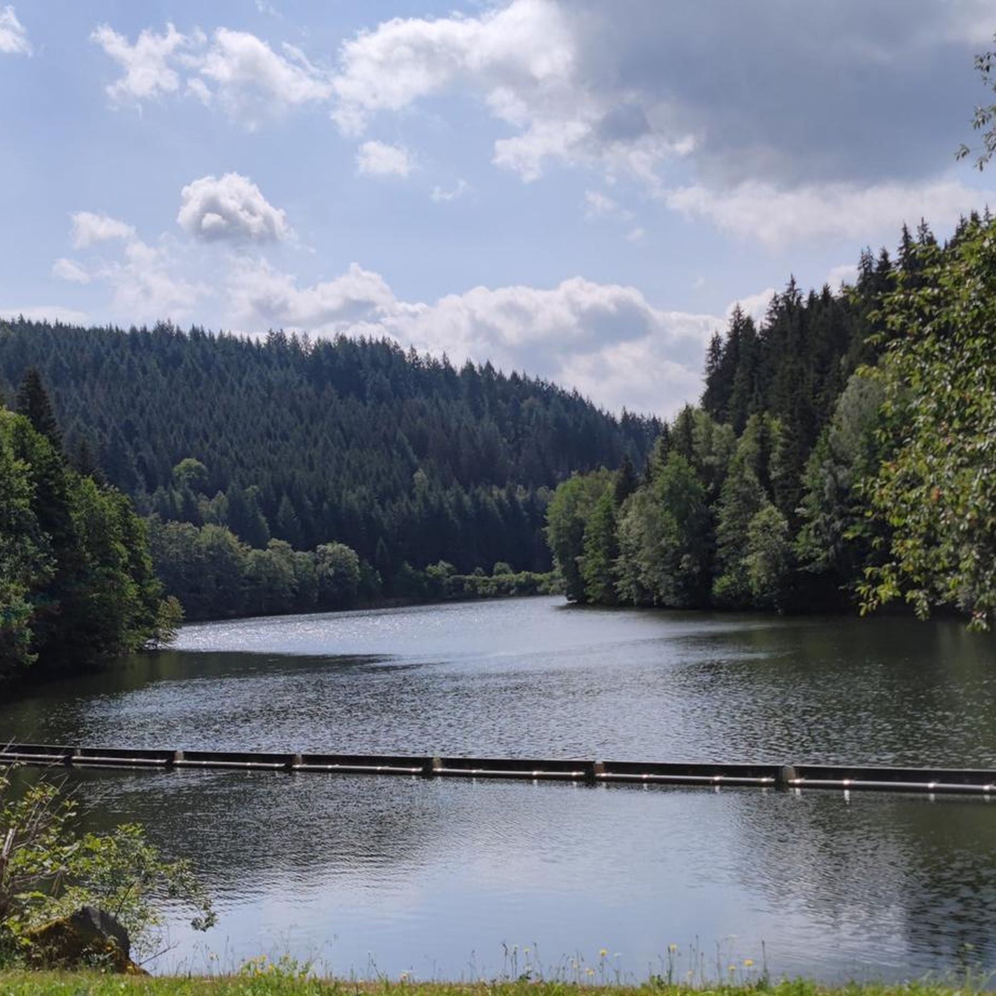
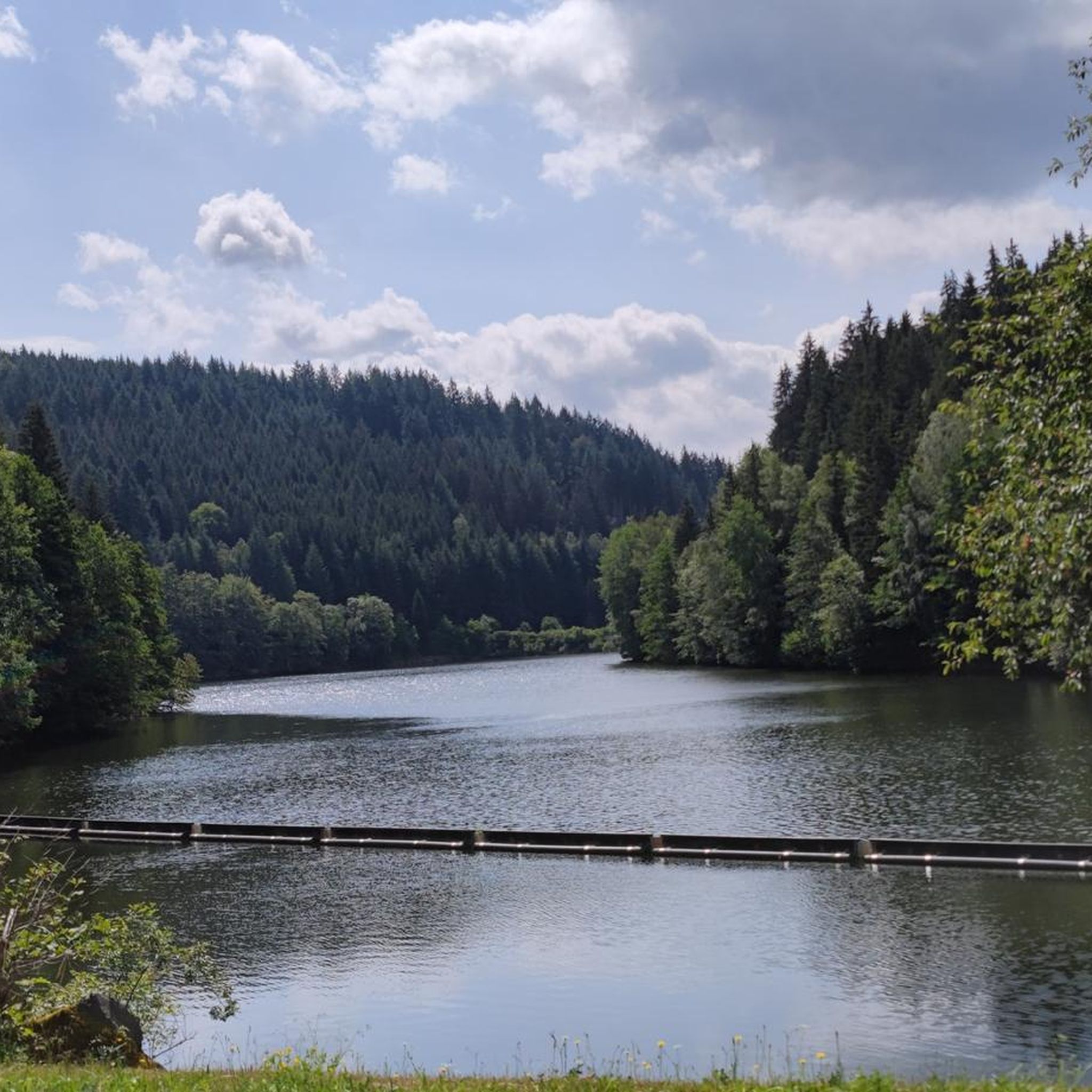
Beautiful view of the Ködel Dam. There's also a drinking water fountain here in the summer.
0
0
A beautiful rest area at the foreshore of the Ködel Dam. Whether hiking or cycling, it's always a great place to stop.
0
0

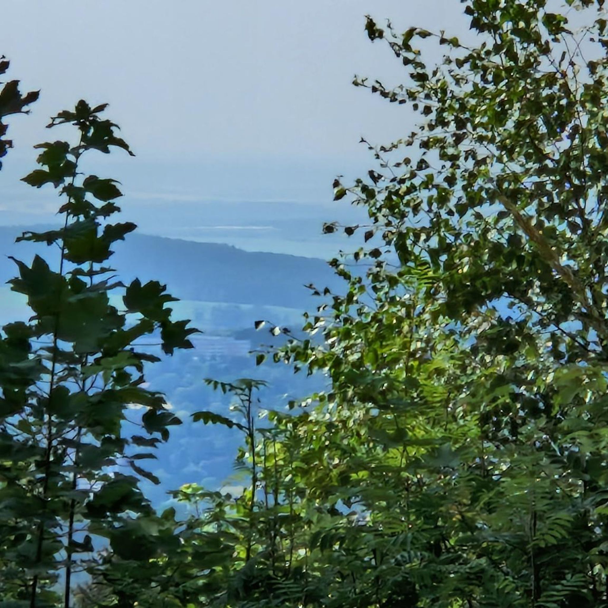
The water tower also serves as an observation tower and offers fantastic panoramic views of the Franconian Forest Nature Park. The climb is worth it!
0
0

Nice resting place at the foreshore of the Ködeltalsperre
0
0

Branch of narrow hiking trail
0
1
Frequently Asked Questions
How many hiking trails are available in Tschirner Und Nordhalbener Ködeltal Mit Mäusbeutel?
There are over 960 hiking routes in Tschirner Und Nordhalbener Ködeltal Mit Mäusbeutel, ranging from easy strolls to more challenging moderate hikes. This includes a wide variety of paths through natural stream courses, dense forests, and historic rafting ponds.
What types of natural features can I expect to see while hiking in this region?
The region is rich in diverse natural features. You'll encounter natural stream courses of the Tschirner and Nordhalbener Ködel rivers, species-rich hillside forests, pristine spring areas, and unique habitats like flat moors and bristly grass meadows. Historic rafting ponds, now valuable biotope waters, are also a prominent feature.
Are there any family-friendly hiking options in Tschirner Und Nordhalbener Ködeltal Mit Mäusbeutel?
Yes, the area offers many easy routes suitable for families. For example, the paved path around the Ködeltalsperre Reservoir loop from Birnbaum is approximately 4.9 km long and ideal for a leisurely walk with scenic views of the 'Frankenwaldfjord'.
Are dogs allowed on the hiking trails in Tschirner Und Nordhalbener Ködeltal Mit Mäusbeutel?
Generally, dogs are welcome on the hiking trails in Tschirner Und Nordhalbener Ködeltal Mit Mäusbeutel. As it is a nature reserve, it's important to keep dogs on a leash, especially in sensitive areas, to protect wildlife and maintain the natural environment. Always be mindful of local regulations.
What are some notable landmarks or points of interest along the hiking routes?
Hikers can discover several interesting points, including the Tschirner Ködel Ford, where you can experience a river crossing (with an alternative bridge), and the Alter Tschirner Pond, one of the historic rafting ponds. The Bergloch Nordhalben is another unique highlight.
Are there any circular hiking routes available?
Yes, many routes in the region are circular. A popular moderate option is the Gareis Chapel – Grümpel rafting pond loop from Birnbaum, which is about 15.3 km long and passes by historic rafting ponds. Another is the Ködelblick Viewpoint – Ködel Reservoir loop from Birnbaum, offering varied forest and reservoir landscapes.
What is the best time of year to go hiking in Tschirner Und Nordhalbener Ködeltal Mit Mäusbeutel?
The region is beautiful year-round, but spring and autumn offer particularly pleasant hiking conditions with mild temperatures and vibrant natural colors. Spring brings blooming marsh violets and orchids, while autumn showcases the rich hues of the hillside forests. Summer is also popular, especially around the Ködeltalsperre.
Where can I find parking for the hiking trails?
Parking is generally available at common starting points for trails, particularly near villages like Birnbaum and Tschirn, and around popular attractions like the Ködeltalsperre. Look for designated parking areas at trailheads or near local amenities.
Are there places to eat or have a coffee near the hiking routes?
While specific cafes or restaurants directly on every trail might be limited due to the nature reserve status, you can find dining options in the nearby towns and villages surrounding the Tschirner Und Nordhalbener Ködeltal Mit Mäusbeutel area. It's advisable to check in advance for opening times.
What makes the Ködeltalsperre (Mauthaustalsperre) a special place to visit?
The Ködeltalsperre is one of Bavaria's largest drinking water dams and offers an approximately 11.5 km paved path around its circumference. This path is perfect for walking, cycling, or inline skating, providing stunning views often referred to as the 'Frankenwaldfjord'. It's a great spot for both active recreation and enjoying the scenery.
What do other hikers say about their experience in Tschirner Und Nordhalbener Ködeltal Mit Mäusbeutel?
The area is highly rated by the komoot community, with an average score of 4.7 stars from nearly 5,000 reviews. Hikers often praise the diverse and protected natural landscapes, the well-maintained trails, and the peaceful atmosphere of the forests and historic rafting ponds.
What is the typical difficulty level of hikes in this region?
The hiking trails in Tschirner Und Nordhalbener Ködeltal Mit Mäusbeutel cater to various fitness levels. There are over 450 easy routes, around 430 moderate routes, and about 70 difficult routes. This means you can find anything from gentle walks through floodplains to more challenging ascents in the hillside forests.
Most popular routes in Tschirner Und Nordhalbener Ködeltal Mit Mäusbeutel
Most popular attractions in Tschirner Und Nordhalbener Ködeltal Mit Mäusbeutel

Get inspired with the komoot mobile app


Explore more
Browse the best Hikes in other regions.
