The 20 Most Amazing Peaks around Stiefenhofen
Best mountain peaks around Stiefenhofen are situated in the Allgäu region of Germany, offering access to the Nagelfluhkette Nature Park. This cross-border park features distinctive "Nagelfluh" conglomerate rock formations. The area provides diverse natural landscapes for exploration. Stiefenhofen serves as a base for discovering these prominent mountain peaks.
Best mountain peaks around Stiefenhofen
- The most popular mountain peaks is Hündlekopf Summit, a summit that is a 1111 meter high ridge head of the 1124 meter high mountain Hündle in…
Last updated: August 2, 2026
Hündlekopf Summit
Highlight • Summit
Showing Translation
Tip by

Hochgrat Summit
Highlight • Summit
Showing Translation
Tip by

Sign up now to discover places like this
Get recommendations on the best single tracks, peaks, & plenty of other exciting outdoor places.
Sign up for free
View of Großer Alpsee and Allgäu Alps
Highlight • Viewpoint
Translated by Google •
Tip by

Hochgratbahn mountain station
Highlight • Rest Area
Translated by Google •
Tip by

Hochgrat Ridge Trail
Highlight • Trail
Translated by Google •
Tip by
Sign up for free to discover even more peaks around Stiefenhofen.
Sign up for free
Already have an account?
Start today with a free account
Your next adventure awaits.
Login or Signup
Popular around Stiefenhofen
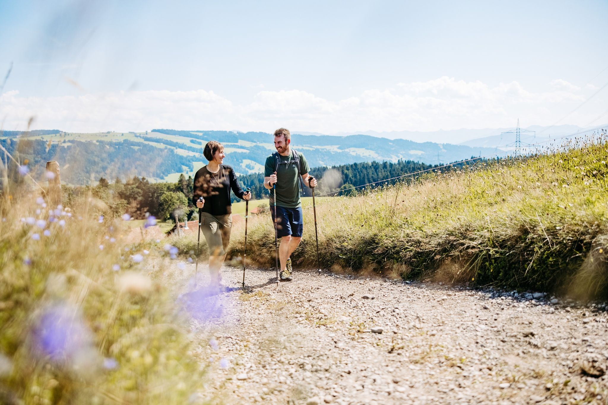
Gentle hills and sweeping views – hiking in West Allgäu
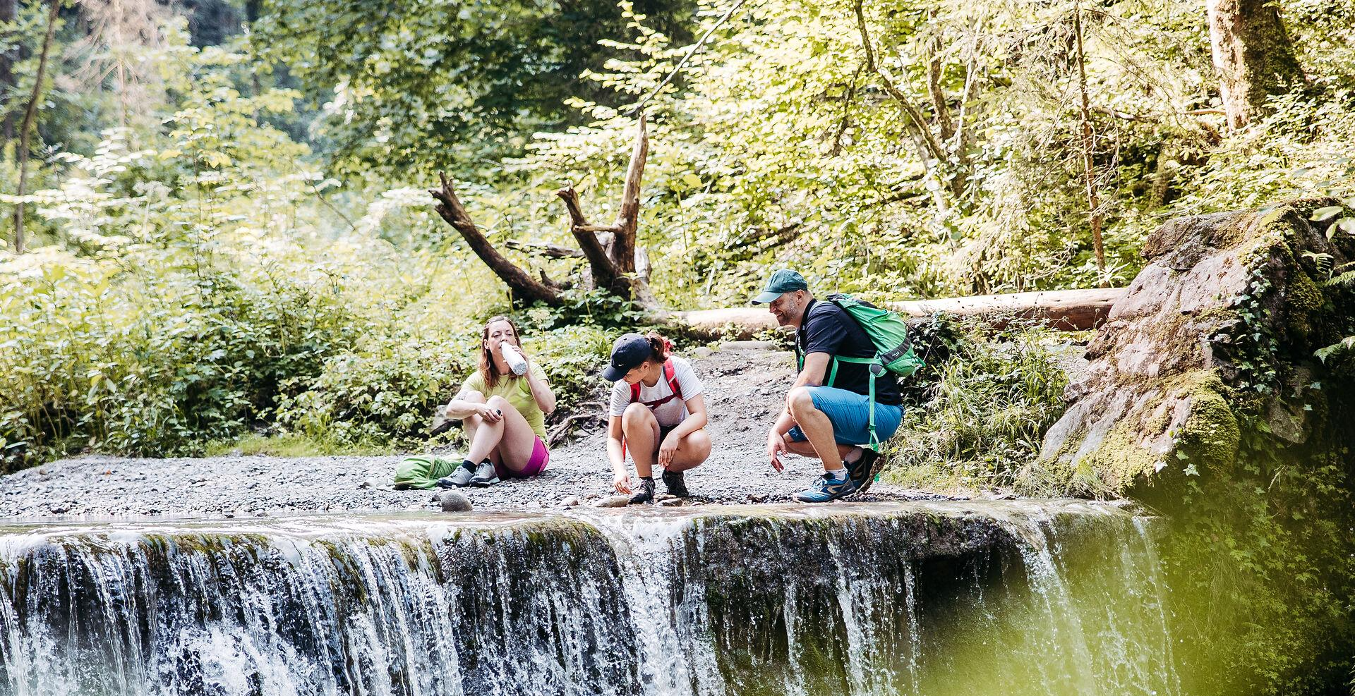
Westallgäuer Wasserwege
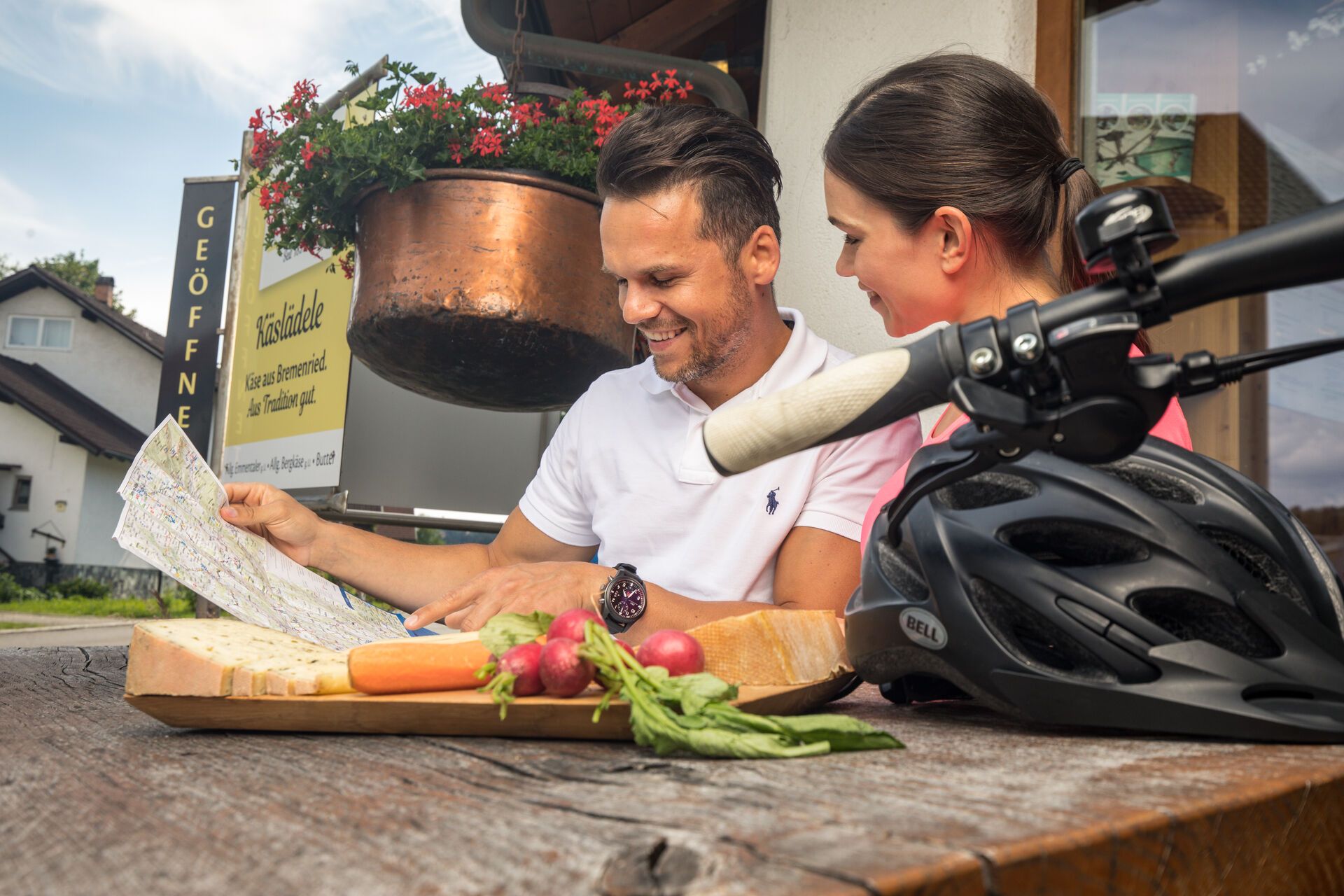
Radtouren an der Allgäuer Käsestraße
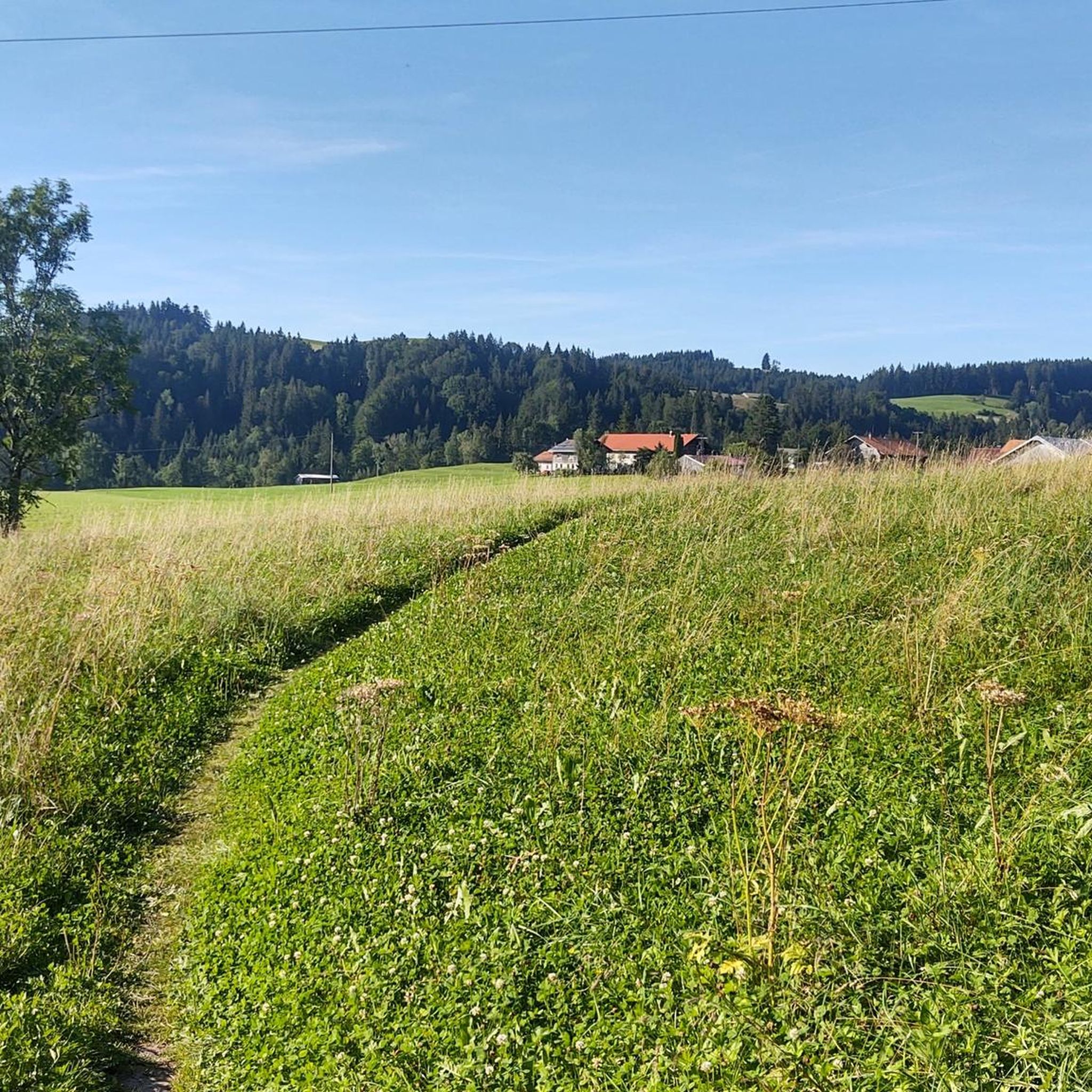
Hiking around Stiefenhofen
Cycling around Stiefenhofen
MTB Trails around Stiefenhofen
Road Cycling Routes around Stiefenhofen
Running Trails around Stiefenhofen
Mountain Hikes around Stiefenhofen

Gravel biking around Stiefenhofen

Tips from the Community

The Hündlekopf, at 1,111 meters, is the ridge of the Hündle mountain and one of the most popular viewing summits around Oberstaufen. It is easy to hike up. If you want to spare yourself the partly steep ascent, simply take the gondola. At the summit cross, you have a great view of the Großer Alpsee and the Nagelfluhkette.
1
0

With a bit of luck you can find arnica directly on the Hochgrat, a rare sight.
6
1
The Hochgrat and the Seelekopf are two peaks in the Allgäu Alps. The Seelekopf is a neighboring mountain of the Hochgrat at 1663 meters. The Seelekopf can be reached via a ridge hike from the Hochgratbahn mountain station and offers a rewarding view, but requires surefootedness and is secured with rope-secured sections. The Hochgrat is the highest mountain in Oberstaufen and offers breathtaking views of the Allgäu Alps. The Seelekopf opposite is 1663 meters high and lies in the Allgäu Nagelfluh ridges. The combination makes a great hike.
5
0

Unfortunately very crowded during “cable car season”. It's best not to visit the impressive summit cross during its operating hours 😅
5
0

The slightly historic mountain railway 👍 takes you up to the Nagelfluh range. At the top there is a place to stop for refreshments and a fantastic view.
8
0

Summit path between the mountain station and the summit of the Hochgrat (1834 m) in the Upper Allgäu, the highest mountain peak in the Nagelfluhkette Nature Park and the Allgäu Alpine foothills. The path consists of a stone and gravel path, often with steps, which is steeper in places, so sure-footedness and a head for heights are a must. In one place in particular, extra caution is required, as the path is particularly narrow for around 7 meters. It is better to take it slower and use a wire rope at this point. In any case, you will be rewarded with a great view of the Alps (Bregenz Forest and Allgäu High Alps) and deep into the flatter Allgäu. In good weather, you can also see Lake Constance. :)
5
4

The 50-year-old railway has a great atmosphere. Once you reach the top, there are a number of hiking trails. Or you can walk up and take a leisurely ride down
7
0
Great view from the Swiss peaks to the Alpsee. And it's also quite easy to get to, so it's no problem even with children
6
0
Frequently Asked Questions
What are some prominent mountain peaks to explore near Stiefenhofen?
Near Stiefenhofen, you can explore several notable peaks. The Hochgrat Summit is the highest peak of the Nagelfluhkette, offering extensive panoramic views. Another popular choice is the Hündlekopf Summit, known for its accessibility and views towards the Alpsee and the Nagelfluh chain. You can also find great views from the summit of Salmaser Höhe, which offers vistas from Grünten to Säntis.
What makes the Nagelfluhkette Nature Park unique?
The Nagelfluhkette Nature Park, which encompasses many of the peaks near Stiefenhofen, is unique for being the first cross-border nature park between Germany and Austria. It's characterized by its distinctive "Nagelfluh" conglomerate rock formations, which resemble "nails" hammered into the earth, giving the landscape a very special geological appearance.
What kind of views can I expect from the mountain peaks around Stiefenhofen?
The mountain peaks around Stiefenhofen offer breathtaking panoramic views. From the Hochgrat Summit, you can see across the Bavarian foothills of the Alps, a "string of pearls" of Alpine peaks, Lake Constance, and even the Säntis in Switzerland. The Hündlekopf Summit provides excellent views of the Swiss peaks and the Großer Alpsee.
Are there easily accessible mountain peaks for all fitness levels near Stiefenhofen?
Yes, the region offers options for various fitness levels. The Hündlekopf Summit is known for its easy accessibility, with a cable car available to reach the inn near the summit. Similarly, the Hochgrat Summit can be reached via the historic Hochgratbahn cable car, making it accessible for those who prefer a less strenuous ascent while still enjoying the high-altitude views.
Are there challenging mountain climbs around Stiefenhofen?
For those seeking a challenge, the Hochgrat Summit offers numerous hiking routes that can be quite steep and demanding, providing a rewarding experience for experienced hikers. The region generally offers a variety of mountain peaks to explore, ranging from intermediate to challenging.
What activities can I do on Hochgrat?
The Hochgrat offers diverse activities year-round. You can take the Hochgratbahn cable car for an easy ascent and enjoy the panoramic views. For hikers, there are routes to the summit and longer panoramic hikes along the Nagelfluhkette. In winter, the Hochgrat transforms into a popular destination for snowshoe hikers, backcountry skiers, freeriders, and sledders.
Is winter hiking possible on the mountain peaks near Stiefenhofen?
Yes, winter hiking is possible. The Hochgrat area is particularly popular in winter for snowshoe hikers, backcountry skiers, and freeriders. While the Hündlekopf area is more geared towards skiers in winter, there are still beautiful destinations for winter and snow hikes in the broader region.
What is the best time of year to visit the mountain peaks around Stiefenhofen?
The mountain peaks around Stiefenhofen offer appeal throughout the year. For hiking and enjoying the full green landscape, spring and autumn are often recommended for their wonderful views and pleasant temperatures. Summer is also great for outdoor activities. In winter, the area transforms into a popular spot for snow sports like snowshoeing and skiing.
Are there family-friendly mountain peaks or hikes near Stiefenhofen?
Yes, the Hündlekopf Summit is considered a family-friendly option due to its easy accessibility via cable car and the enjoyable mountain scenery. The area around Stiefenhofen generally provides diverse natural landscapes suitable for family exploration.
Can I bring my dog on the mountain trails near Stiefenhofen?
While specific regulations for every trail vary, many mountain trails in the Allgäu region are dog-friendly. It's always advisable to keep dogs on a leash, especially in nature protection areas like the Nagelfluhkette Nature Park, and to be mindful of grazing animals. Check local signage for specific restrictions on individual routes.
How can I reach the mountain peaks near Stiefenhofen?
Many peaks are accessible by car with parking available near trailheads or cable car stations. For example, the Hochgrat Summit can be reached via the Hochgratbahn cable car, with its mountain station at 1,708 meters. The Hündlekopf also has a cable car option. Public transport options to the general Stiefenhofen area are available, but direct access to all trailheads might require a car.
Are there amenities like restaurants or cafes on the mountain peaks?
Yes, some mountain peaks offer amenities. For instance, near the Hündlekopf Summit, there is an inn accessible by cable car. The Hochgratbahn mountain station also features a restaurant, making it a great place for a rest with a view.
What outdoor activities can I do near these mountain peaks?
Beyond peak bagging, the area around Stiefenhofen offers a variety of outdoor activities. You can find numerous hiking trails, such as the "Stiefenhofen: chapel hike to St Agatha's Chapel" or the "Simmerbergwiesen – Ellhofer Ravine loop." For mountain biking, trails like the "Hochhäderich Summit" are popular. You can explore more options in the Hiking around Stiefenhofen guide or the Mountain Hikes around Stiefenhofen guide.
Most popular routes around Stiefenhofen
Most popular attractions around Stiefenhofen

Get inspired with the komoot mobile app


Explore more
See even more amazing summits around Stiefenhofen with these guides:
