The best mountain hikes around Stiefenhofen
4.8
(195)
1,710
hikers
97
hikes
Mountaineering routes around Stiefenhofen are situated in the Westallgäu region, nestled between the Allgäu Alps and Lake Constance. The area features rolling hills, vibrant meadows, and lush mountain pastures, with elevations ranging from 750 to over 1,000 meters. It serves as a gateway to the Nagelfluhkette mountain range, offering diverse terrain from gentle ascents to more challenging alpine environments. Natural features like the Eistobel and Buchenegger Waterfalls add to the varied landscape.
Best mountaineering routes around Stiefenhofen
- The most popular…
Last updated: July 29, 2026
4.7
(6)
37
hikers
8.73km
02:55
420m
420m
Moderate mountaineering route. Good fitness required. Easily-accessible paths. Suitable for all skill levels.
4.0
(3)
34
hikers
15.9km
05:19
740m
740m
Hard mountaineering route. Very good fitness required. Mostly accessible paths. Sure-footedness required.

Sign up for free
4.0
(2)
17
hikers
Moderate mountaineering route. Good fitness required. Mostly accessible paths. Sure-footedness required.
5.0
(4)
13
hikers
Moderate mountaineering route. Good fitness required. Easily-accessible paths. Suitable for all skill levels.
4.5
(2)
12
hikers
8.51km
03:01
480m
480m
Moderate mountaineering route. Good fitness required. Easily-accessible paths. Suitable for all skill levels.
Get access to more routes and recommendations from other explorers.
Sign up for free
Already have an account?
Our route recommendations are based on thousands of hikes, rides, and runs completed by other people on komoot.
Start today with a free account
Your next adventure awaits.
Login or Signup
Popular around Stiefenhofen
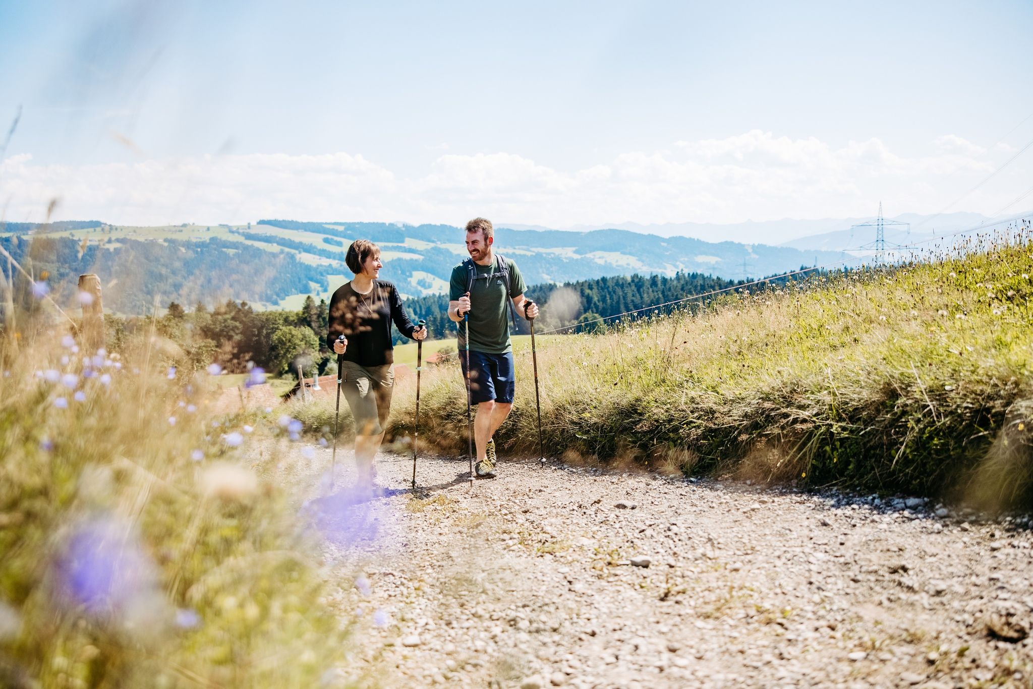
Gentle hills and sweeping views – hiking in West Allgäu
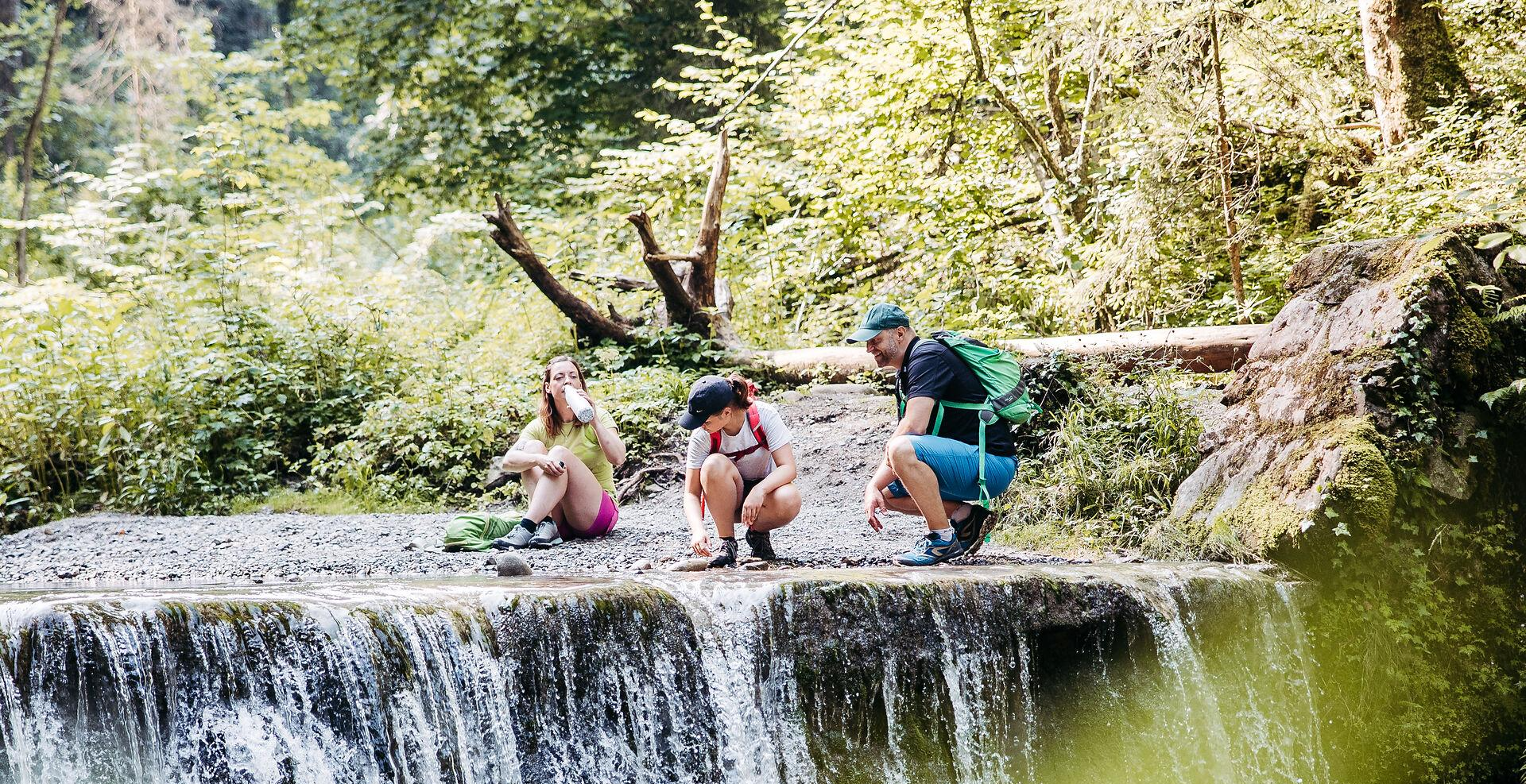
Westallgäuer Wasserwege
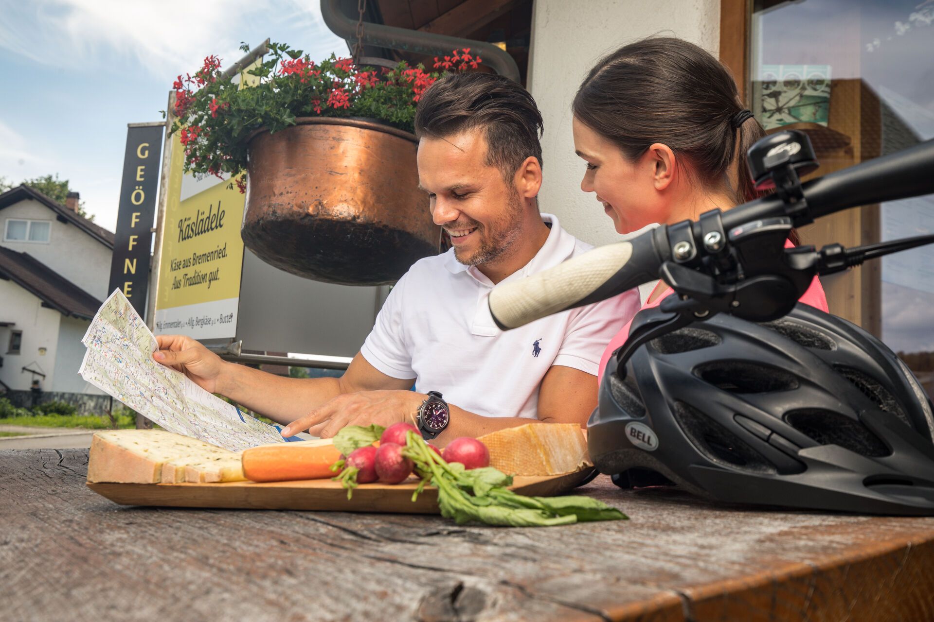
Radtouren an der Allgäuer Käsestraße
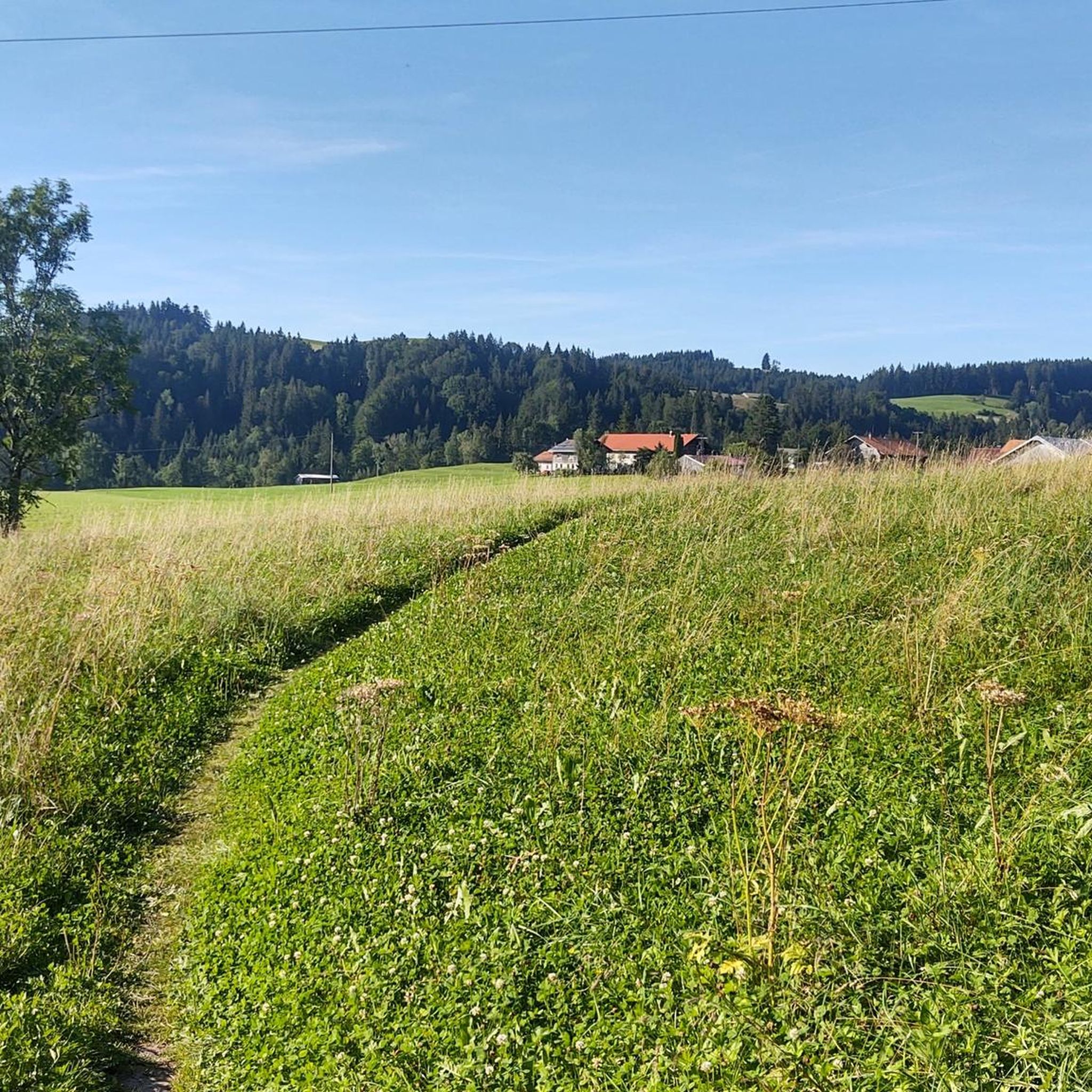
Hiking around Stiefenhofen
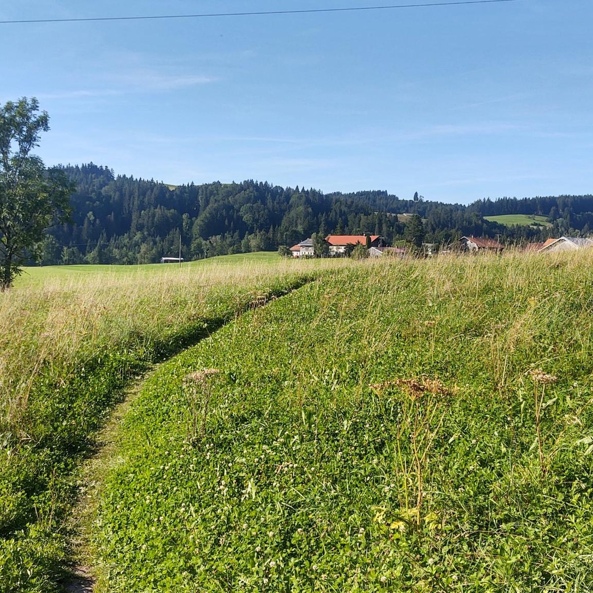
Cycling around Stiefenhofen
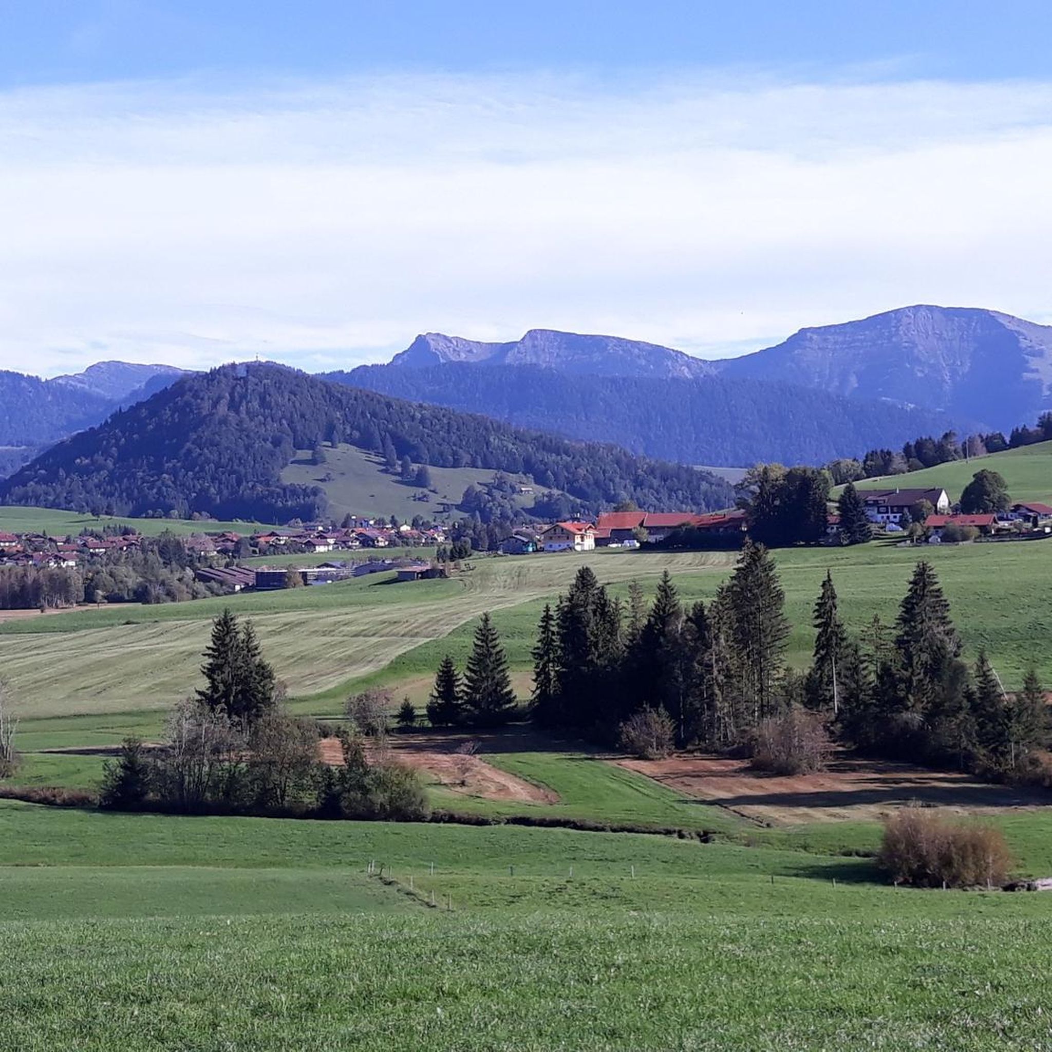
MTB Trails around Stiefenhofen
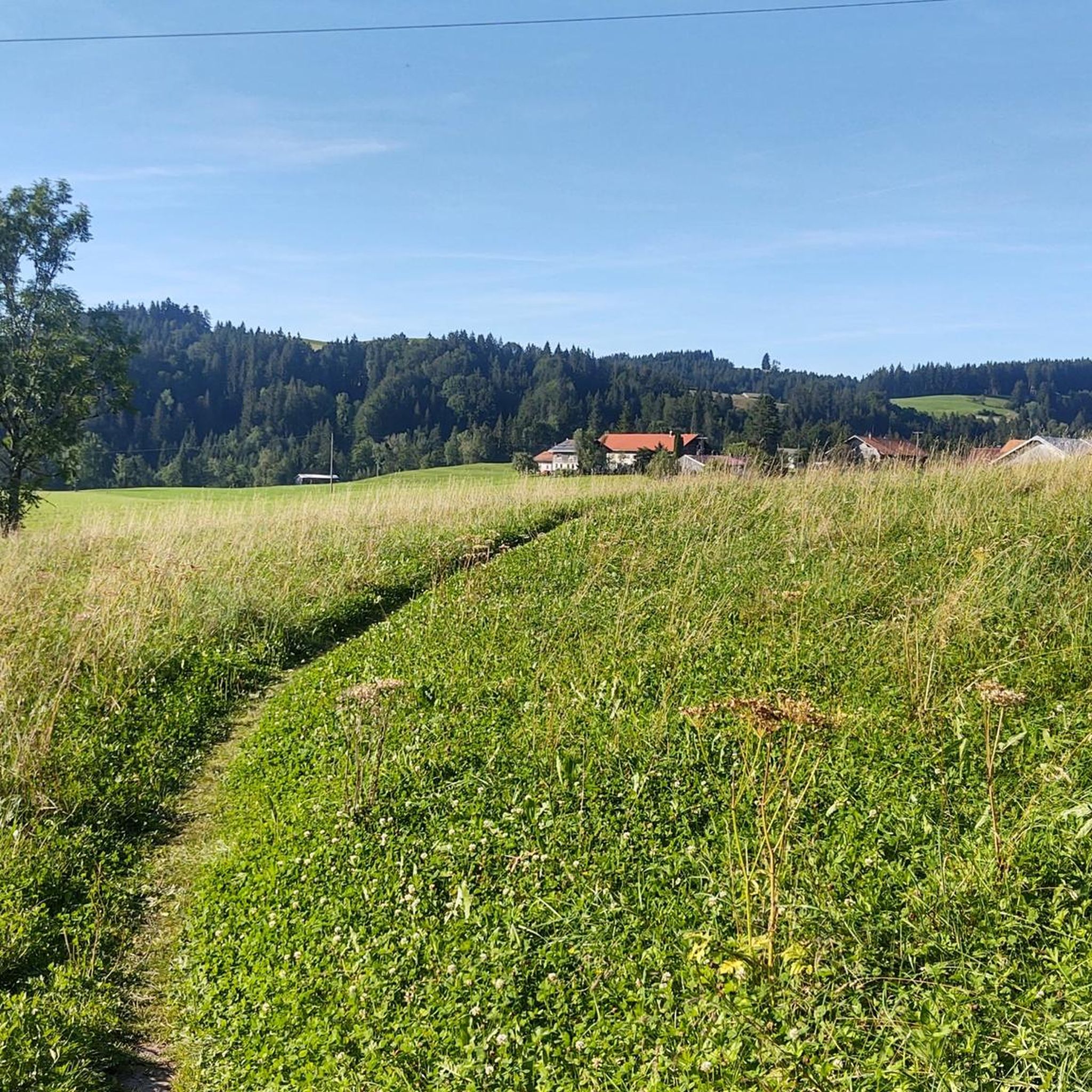
Road Cycling Routes around Stiefenhofen
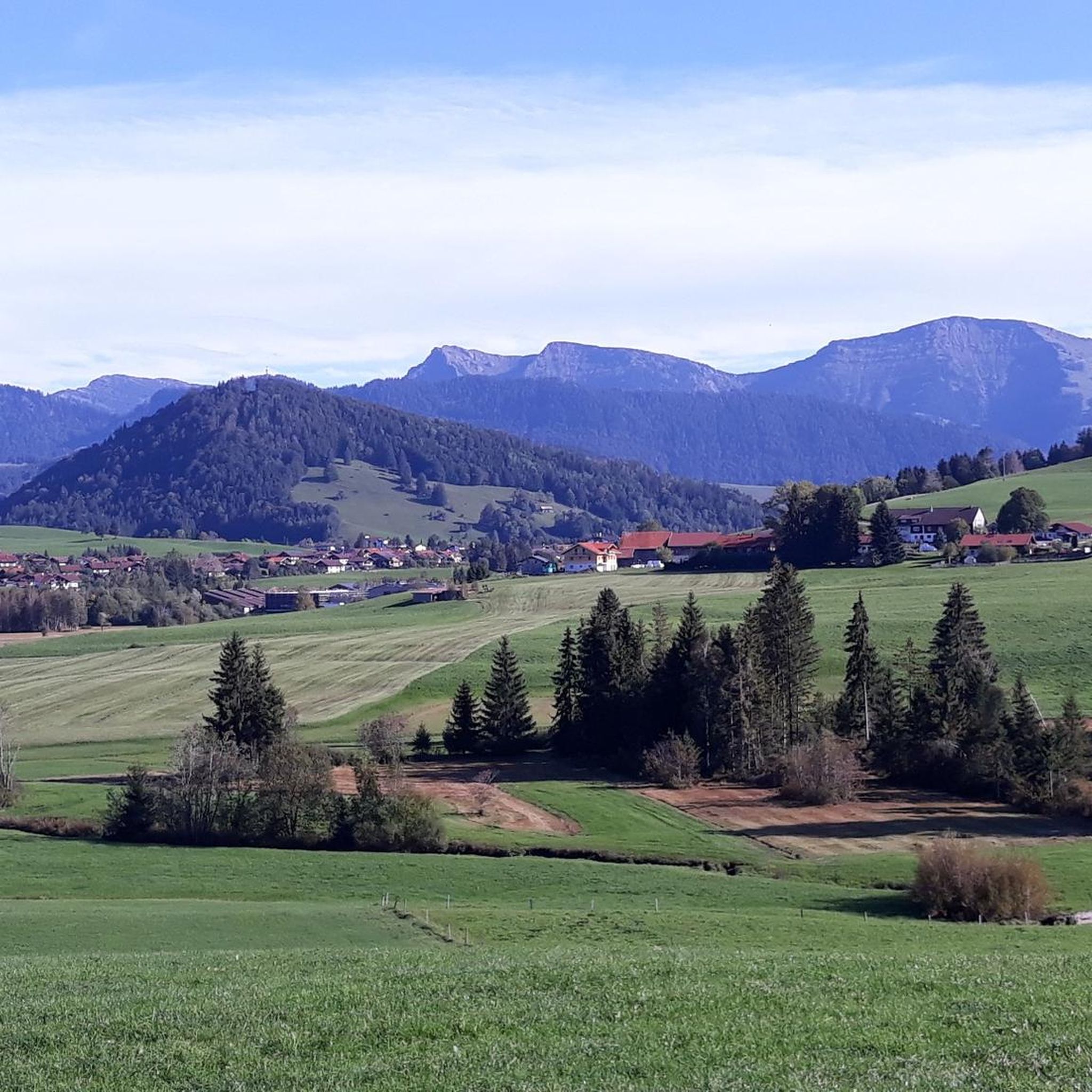
Running Trails around Stiefenhofen

Gravel biking around Stiefenhofen

Tips from the Community

From here you have a fantastic view into the Weißachtal valley. The Weißach river rises west of Immenstadt, flows in its upper course through the Ehrenschwanger Tal valley, turns towards Oberstaufen and continues to the Austrian border, where it finally flows into the Bregenzer Ach. On its way, the river has carved the Buchenegger Waterfalls into the Nagelfluh rock.
1
0
After a new Alpine dairy was established here in 2013, the tradition of cheesemaking has been revived. Around twenty cows provide milk for the own mountain cheese. On the terrace, you can enjoy hearty snacks, homemade cakes, and, as a specialty, fresh goat's milk. The truly fantastic cheese is also available to take away. You can easily reach the Sennalpe Bärenschwand from the mountain station of the Hündlebahn.
1
0
Not far from the Hündlebahn mountain station, the view opens up far over the Konstanzer Tal. From the east slope of the Hochsiedel, you look down on Thalkirchdorf and the green valley of the Konstanzer Ach, which stretches between gentle ridges towards Alpsee. In clear weather, the Großer Alpsee glistens in the background. Grazing cows, farmsteads, and small chapels characterize the typical Allgäu cultural landscape below you.
1
0
The Hündlekopf, at 1,111 meters, is the ridge of the Hündle mountain and one of the most popular viewing summits around Oberstaufen. It is easy to hike up. If you want to spare yourself the partly steep ascent, simply take the gondola. At the summit cross, you have a great view of the Großer Alpsee and the Nagelfluhkette.
1
0

Small chapel worth seeing near Seppls Gartenwirtschaft.
2
0
Very beautiful alpine meadow. It is located between the Hündle mountain station and the Hündlekopf. There is also an ice rink and various refreshment options.
2
0

Lovingly restored chapel with very old choir stalls. Worth preserving.
1
0

The Schwändle Alpe is a beautiful place with a great view. There is a playground and a marble run for children. There are mega delicious snacks available in various versions. Homemade meat patties and, not to forget, homemade cakes. Have fun stopping by and cheers 🥂
1
0
Frequently Asked Questions
How many mountaineering routes are available around Stiefenhofen?
There are over 100 mountaineering routes around Stiefenhofen, offering a wide range of options for different skill levels and preferences. You'll find everything from moderate ascents to more challenging mountain trails.
Are there mountaineering routes suitable for beginners or families?
Yes, Stiefenhofen offers routes suitable for various experience levels. While many are moderate, there are a few easier options perfect for beginners or families looking for a less strenuous mountain experience. The region's rolling hills and meadows provide a gentle introduction to mountaineering.
What kind of natural attractions can I expect to see on these routes?
The routes around Stiefenhofen showcase diverse natural beauty. You can expect to encounter impressive natural features like the Buchenegger Waterfalls and the Eistobel, where powerful water masses create captivating spectacles. The region is also characterized by lush mountain pastures, vibrant meadows, and views extending towards the Nagelfluhkette mountain range.
Are there any challenging mountaineering trails in the area?
Absolutely. For those seeking a challenge, Stiefenhofen and its proximity to the Nagelfluhkette Nature Park offer more demanding routes. An example is the difficult Tarzan Bridge over the Weißach – Buchenegger Waterfalls loop from Hinterstaufen, which covers nearly 16 km with significant elevation changes, leading through impressive natural features.
Can I find circular mountaineering routes in Stiefenhofen?
Yes, the region is well-known for its circular hiking and mountaineering trails. For instance, the Hündle Summit Cross – Hochsiedelalpe loop from Hinterstaufen is a popular moderate circular route offering scenic views of alpine pastures. The municipality itself also highlights several beautiful circular routes, such as the Balzhofen/Hertnegg loop.
What do other mountaineers enjoy most about the routes in Stiefenhofen?
The mountaineering routes in Stiefenhofen are highly rated by the komoot community, with an average score of 4.8 stars from over 180 reviews. Users often praise the varied terrain, from rolling hills to more challenging mountain paths, and the stunning natural features like waterfalls and panoramic views.
Are there any specific landmarks or points of interest along the mountaineering routes?
Beyond the natural beauty, you might encounter historical sites or unique highlights. For example, the Hündlekopf Summit – Buchenegger Waterfalls loop from Hinterstaufen takes you to the Hündlekopf Summit. The broader region also features historical sites like Syrgenstein Castle and various castle ruins, though these may require a slight detour from specific mountaineering paths.
Is it possible to access mountaineering routes using public transport?
While specific public transport connections to every trailhead can vary, Stiefenhofen is part of a well-developed region. It's advisable to check local bus schedules or regional transport options that might connect to key starting points for mountaineering routes. Many routes start from villages or easily accessible points.
Are there any routes that offer refreshments or a place to eat nearby?
Yes, some routes lead past or near alpine pastures (Alpen) or mountain inns where you can find refreshments. For example, the Hündle Summit Cross – Hochsiedelalpe loop from Hinterstaufen passes by the Hochsiedelalpe, which often has facilities for hikers. The Hündlekopf Summit also features an inn, making it a good option for a break.
What is the best time of year for mountaineering in Stiefenhofen?
The warmer months, typically from late spring to early autumn, are ideal for mountaineering in Stiefenhofen. During this period, the meadows are vibrant, and the weather conditions are generally more stable for exploring the diverse terrain, from rolling hills to higher alpine areas. Some natural attractions like the Eistobel are particularly appealing on warm days.
Are there any hidden gem routes that are less frequented?
While popular routes like those around Hündle are well-known, the extensive network of paths in Stiefenhofen means there are many opportunities to discover quieter trails. Exploring the various circular routes mentioned by the municipality, such as the Weißenbachmühle loop, can lead you to serene landscapes away from the main crowds.
Are there any mountaineering routes that offer panoramic views?
Absolutely. The region, being a gateway to the Nagelfluhkette mountain range, offers numerous viewpoints. Peaks within the broader Allgäu Alps, such as the Hochgrat (1,834 m), provide stunning panoramic views that can extend to the Swiss Alps on clear days. Many routes, including those around the Hündlekopf, offer expansive vistas of the surrounding landscape.
Most popular routes around Stiefenhofen
Most popular attractions around Stiefenhofen

Get inspired with the komoot mobile app


Explore more
Browse the best Mountain Hikes & Routes in other regions.
