The best running trails around Northmavine
24
runners
6
runs
Jogging around Northmavine offers routes through a distinctive island landscape characterized by rugged coastlines, sea inlets (voes), and open terrain. The region, part of the Shetland Islands, features varied elevations suitable for different running preferences. Runners can expect paths that traverse coastal areas and provide views of the surrounding North Sea. The trails often follow natural contours, presenting a mix of flat sections and gentle ascents.
Best jogging routes around Northmavine
- The most popular jogging route is Sandvoe to Uyea…
Last updated: October 10, 2026
4
runners
17.5km
02:10
270m
270m
Hard run. Very good fitness required. Mostly paved surfaces. Suitable for all skill levels.
6.27km
00:44
50m
50m
Moderate run. Good fitness required. Mostly paved surfaces. Suitable for all skill levels.

14
runners
8.79km
00:55
50m
50m
Moderate run. Good fitness required. Mostly paved surfaces. Suitable for all skill levels.
2
runners
22.7km
02:34
370m
380m
Hard run. Very good fitness required. Mostly paved surfaces. Suitable for all skill levels.
2
runners
13.5km
01:37
140m
130m
Moderate run. Good fitness required. Mostly paved surfaces. Suitable for all skill levels.
2
runners
14.9km
01:46
120m
120m
Moderate run. Good fitness required. Mostly paved surfaces. Suitable for all skill levels.
Our route recommendations are based on thousands of hikes, rides, and runs completed by other people on komoot.
Tips from the Community

Lovely little cafe with friendly staff and great sea views. It's open from March to the first week in October (usually closes for the season after Shetland Wool Week has finished). Serves up big meals like fish & chips as well as lighter lunchtime snacks such as jacket potatoes. Lots of lovely cakes too - can recommend the Victoria sponge!
0
0
We didn't manage to fit a visit to Frankie's on this trip but we met an awful lot of people who kept recommending it, so it must be good!
0
0

The view of the cliffs from here is simply beautiful.
0
0

Located right next to the lighthouse to the north
0
0
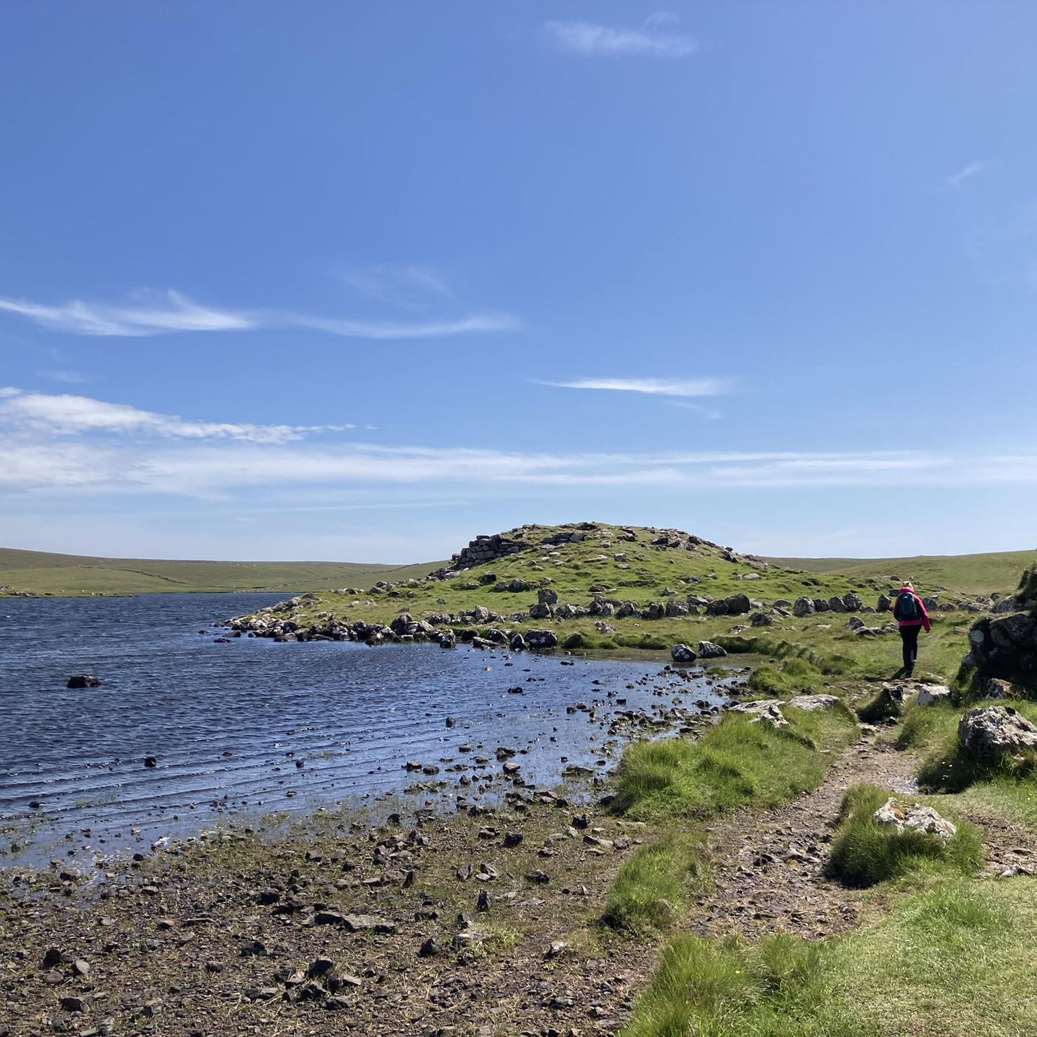
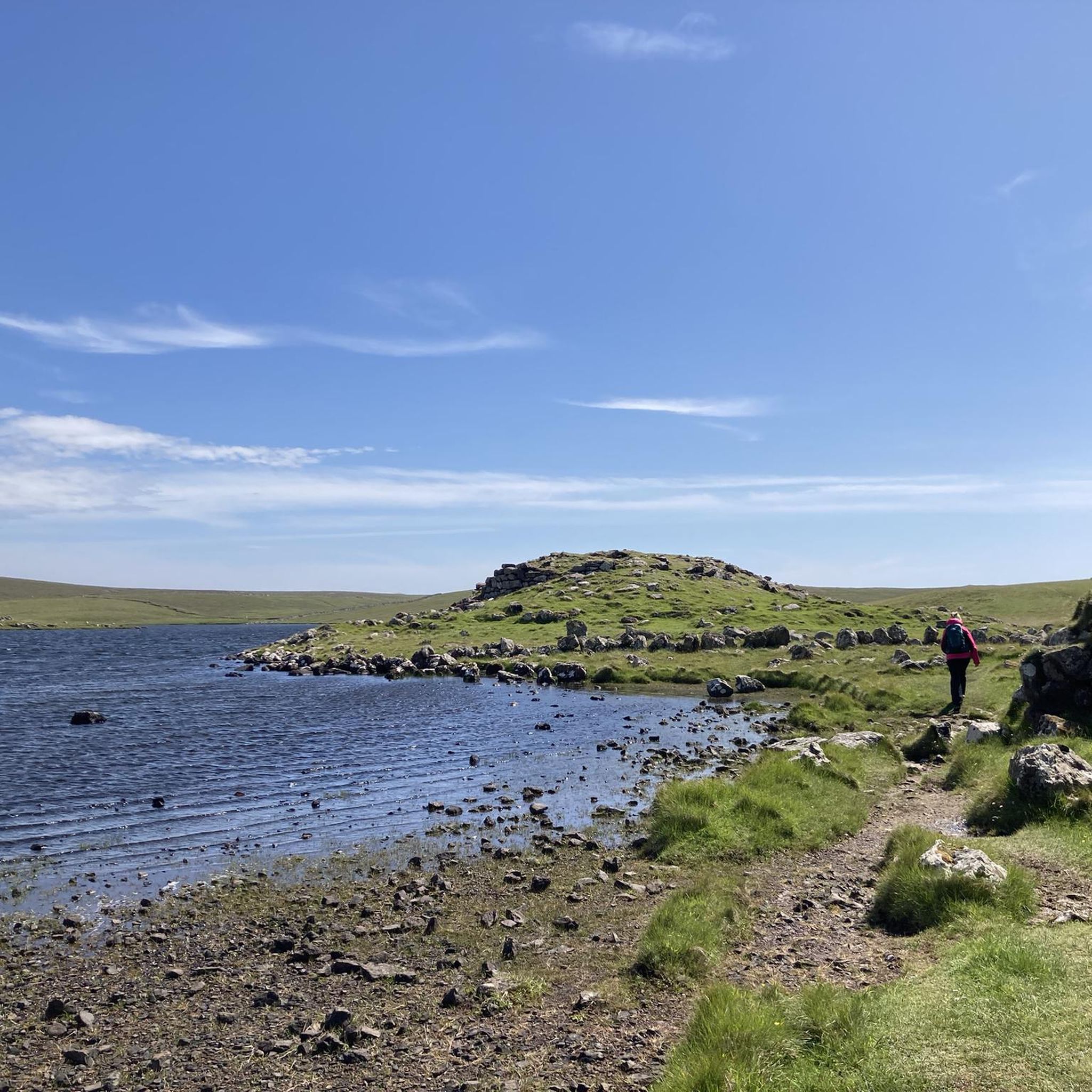
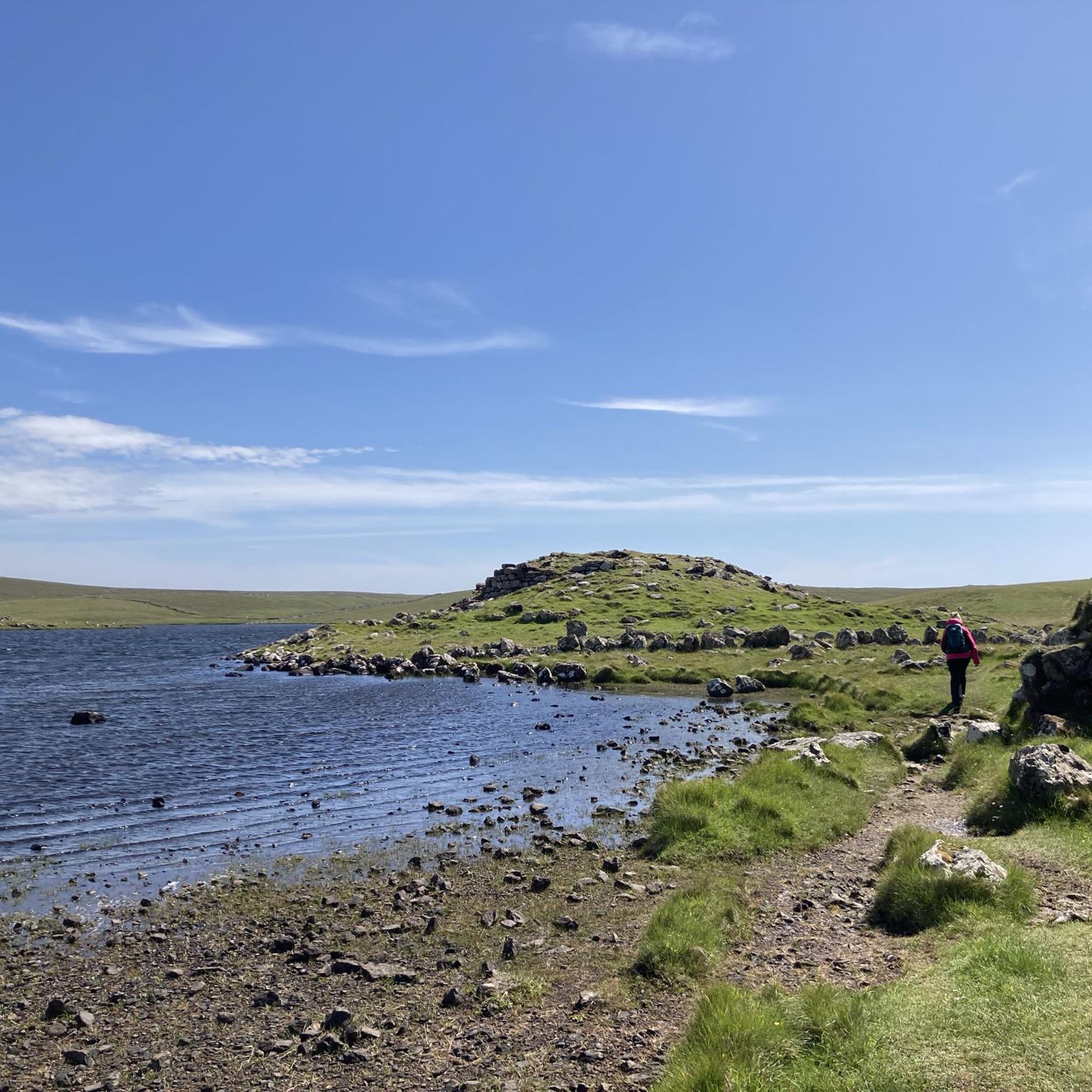
A must on a Shetland tour, great views with beautiful lake with Viking remains along the coast
0
0

The massive cliffs, sea stacks and arches are amazing and very accessible on this stretch of coast.
0
0

Without doubt one of the most beautiful beaches you will find in the UK, or the world for that matter! A sand bar (tombolo) crosses the mouth of Burrier Wick and is covered at high tides. Follow the cliffs south around The Ness to get great views of the opposite shore of Uyea. Tip by Adie
1
0
Frequently Asked Questions
How many running routes are available in Northmavine?
Northmavine offers a selection of 6 dedicated running routes on komoot, catering to various preferences. These include 4 moderate and 2 difficult trails, allowing runners to choose based on their experience and desired challenge.
Are there any easy running trails in Northmavine suitable for beginners?
While there are no routes specifically classified as 'easy' in Northmavine, there are 4 moderate running trails that might be suitable for beginners looking for a gentle challenge. These routes offer a good balance of distance and elevation without being overly strenuous.
What are some of the longer distance running trails in Northmavine?
For those seeking a longer run, the Sandvoe to Uyea loop — Shetland Islands is a challenging 10.8 miles (17.5 km) route. Another option is the Muckleroe Bay – Muckle Roe Bridge loop from Brae, which spans 14.5 miles (23.3 km) and is also considered difficult.
Are there any circular running routes in Northmavine?
Yes, several routes in Northmavine are circular. The Sandvoe to Uyea loop — Shetland Islands is a notable circular option. Additionally, the Running loop from Voe of Scatsta and the Muckleroe Bay – Muckle Roe Bridge loop from Brae are also circular trails.
What kind of scenery can I expect on Northmavine's running routes?
Runners in Northmavine can expect stunning coastal paths, dramatic sea views, and rugged island landscapes. Trails often traverse open terrain, offering panoramic vistas of the North Sea and the region's distinctive voes (sea inlets). The Stenness to Eshaness Coastal Trail is particularly known for its dramatic coastal scenery.
Are there any notable landmarks or attractions along the running trails?
Yes, several routes pass by significant landmarks. The Stenness to Eshaness Coastal Trail, for instance, leads past the iconic Esha Ness Lighthouse. Other points of interest in the area include the geological formations of Holes of Scraada and Calder's Geo.
What is the best time of year for running in Northmavine?
The Shetland Islands, including Northmavine, experience varied weather. While running is possible year-round, the milder, longer daylight hours of late spring and summer (May to August) generally offer the most pleasant conditions. Always be prepared for changeable weather, regardless of the season.
Are Northmavine's running routes suitable for families?
Given that there are no 'easy' routes listed, and the trails are primarily moderate to difficult, families with younger children or those new to running might find some routes challenging. However, shorter moderate trails like the Stenness to Eshaness Coastal Trail (3.9 miles) could be suitable for active families.
Can I run with my dog on the trails in Northmavine?
While specific regulations vary, it's generally advisable to keep dogs on a leash, especially in rural and coastal areas of Northmavine. This helps protect local wildlife, particularly ground-nesting birds, and ensures the safety and enjoyment of all trail users. Always clean up after your dog.
Are there any challenging running routes for experienced runners?
Absolutely. For experienced runners seeking a challenge, the Sandvoe to Uyea loop — Shetland Islands (10.8 miles) and the Muckleroe Bay – Muckle Roe Bridge loop from Brae (14.5 miles) are both classified as difficult, featuring significant elevation changes and rugged terrain.
What do other runners say about jogging in Northmavine?
More than 25 runners have explored Northmavine's varied terrain using komoot. Users often praise the region for its distinctive island landscape, rugged coastlines, and the dramatic views offered by trails like the Stenness to Eshaness Coastal Trail.
Where can I find parking for the running routes?
While specific parking details for each trailhead are not always listed, many popular starting points for trails in Northmavine, such as those near Eshaness Lighthouse or Sandvoe, typically have informal parking areas or small car parks. It's recommended to check local maps or route descriptions for more precise information before your run.
Most popular attractions around Northmavine

Get inspired with the komoot mobile app


Explore more
Browse the best Running Trails & Routes in other regions.
