The best cycling routes in Whitemud Creek Ravine
4.6
(162)
1,765
riders
150
rides
Touring cycling in Whitemud Creek Ravine offers diverse routes through forested areas and along creek views, connecting to Edmonton's extensive river valley system. While some nature reserve sections prohibit bicycles, permitted areas feature a variety of paved and gravel multi-use paths. These routes often wind through areas with balsam poplars and spruce, providing scenic connections to parks and other points of interest. The terrain includes varied paths suitable for different fitness levels, with some routes extending towards the North Saskatchewan River.
Best touring cycling routes in Whitemud Creek Ravine
- The most popular touring cycling route is Whitemud Creek Bridge – Terwillegar Powerline Trail loop from Riverbend, a 8.2 miles (13.2 km) trail that takes 49 minutes to complete. This easy route offers views of the creek and connects to the powerline trail.
- Another top favourite among local touring cyclists is Terwillegar Park Footbridge – Terwillegar Park loop from Riverbend, a difficult 12.0 miles (19.3 km) path. This route features significant elevation gain and explores the extensive trails within Terwillegar Park.
- Local touring cyclists also love the Wedgewood Ravine Pathway – Anthony Henday Footbridge loop from Riverbend, a 18.0 miles (29.0 km) trail leading through forested areas and along the Wedgewood Ravine Pathway, often completed in about 1 hour 51 minutes.
- Touring cycling in Whitemud Creek Ravine is defined by forested areas, creek views, and multi-use paths, with connections to the broader river valley system. The network offers options for different ability levels, from easy loops to more challenging routes with varied terrain.
- The routes in Whitemud Creek Ravine are highly rated by the komoot community with an average score of 4.6 stars from over 160 reviews. More than 1700 touring cyclists have used komoot to explore Whitemud Creek Ravine's varied terrain.
Last updated: May 11, 2026
6
riders
19.3km
01:26
170m
170m
Hard bike ride. Good fitness required. You may need to push your bike for some segments of this route.
4
riders
Easy bike ride. Great for any fitness level. Mostly paved surfaces. Suitable for all skill levels.

Sign up for free
9
riders
29.0km
01:51
260m
260m
Moderate bike ride. Good fitness required. Mostly paved surfaces. Suitable for all skill levels.
5.0
(1)
6
riders
Easy bike ride. Great for any fitness level. Mostly paved surfaces. Suitable for all skill levels.
21
riders
37.2km
02:19
300m
300m
Moderate bike ride. Good fitness required. Mostly paved surfaces. Suitable for all skill levels.
Get access to more routes and recommendations from other explorers.
Sign up for free
Already have an account?
Our route recommendations are based on thousands of hikes, rides, and runs completed by other people on komoot.
Start today with a free account
Your next adventure awaits.
Login or Signup
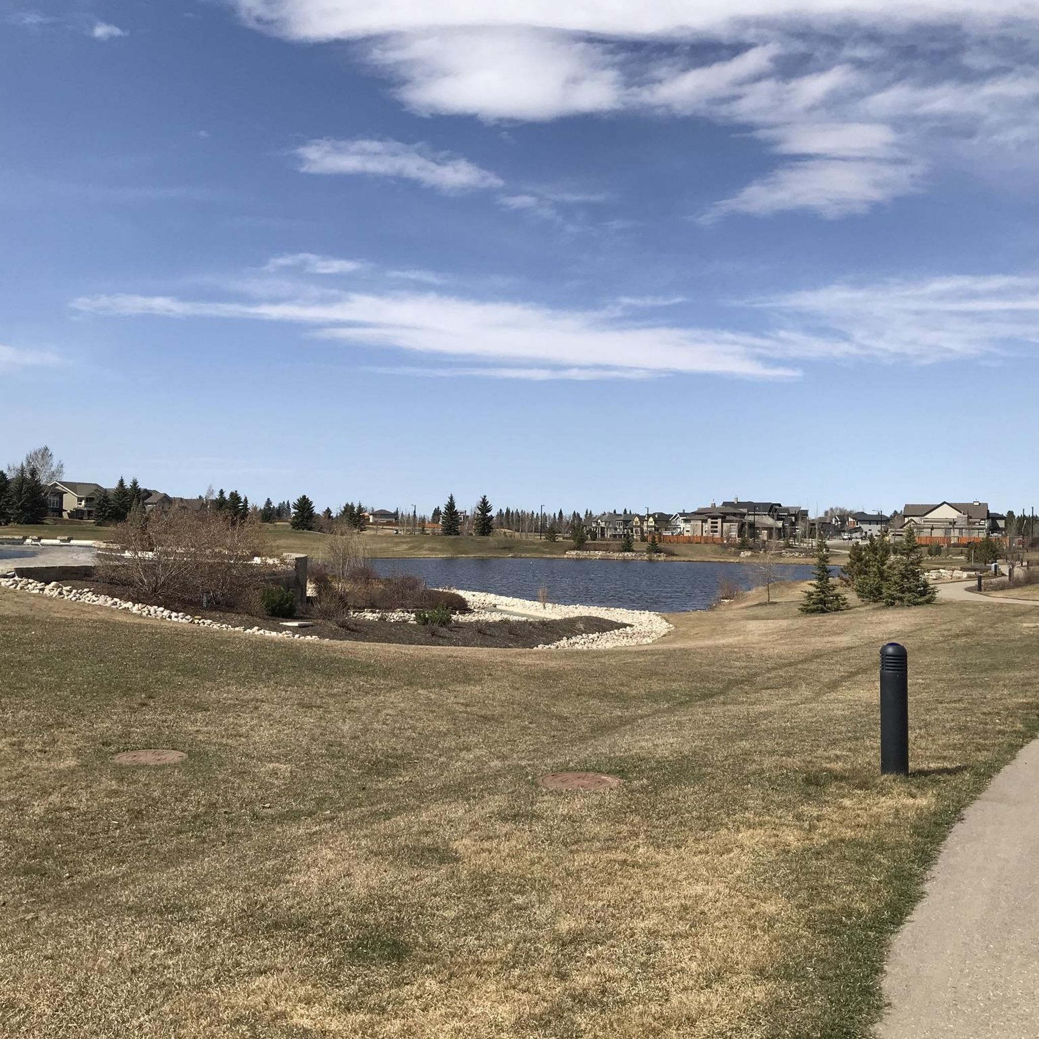
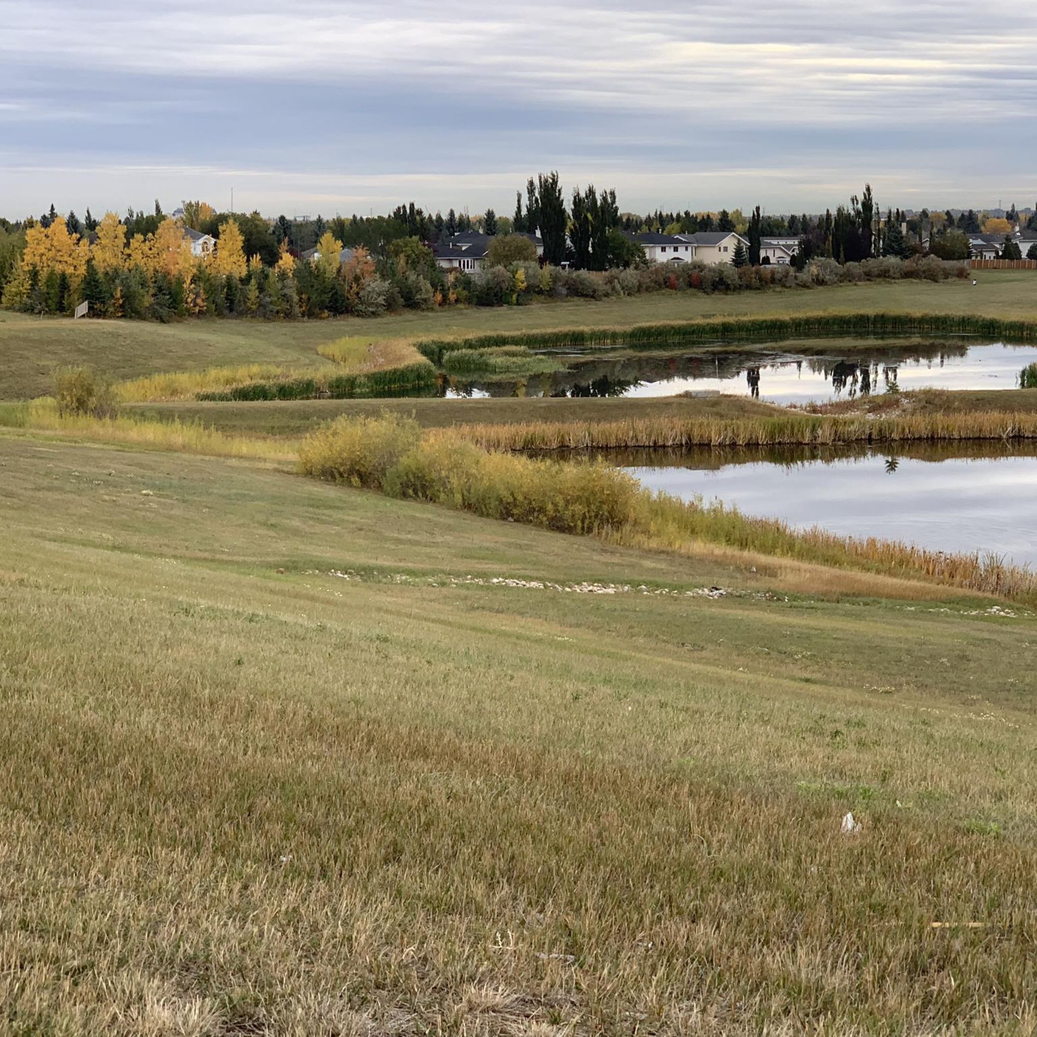
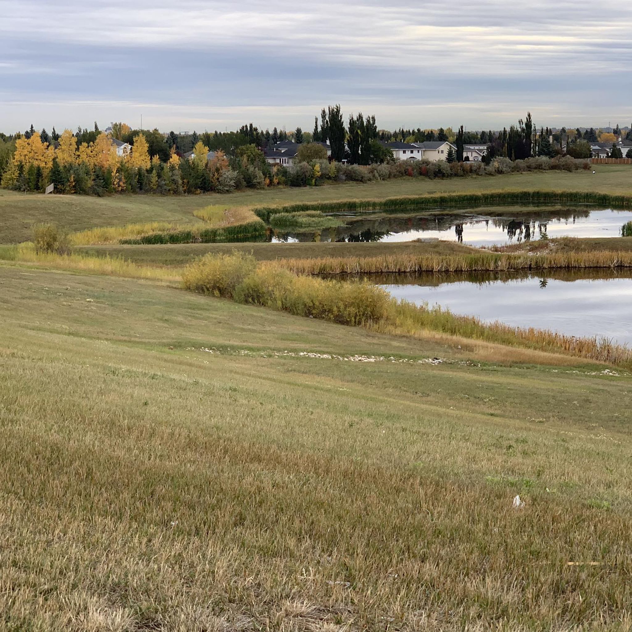
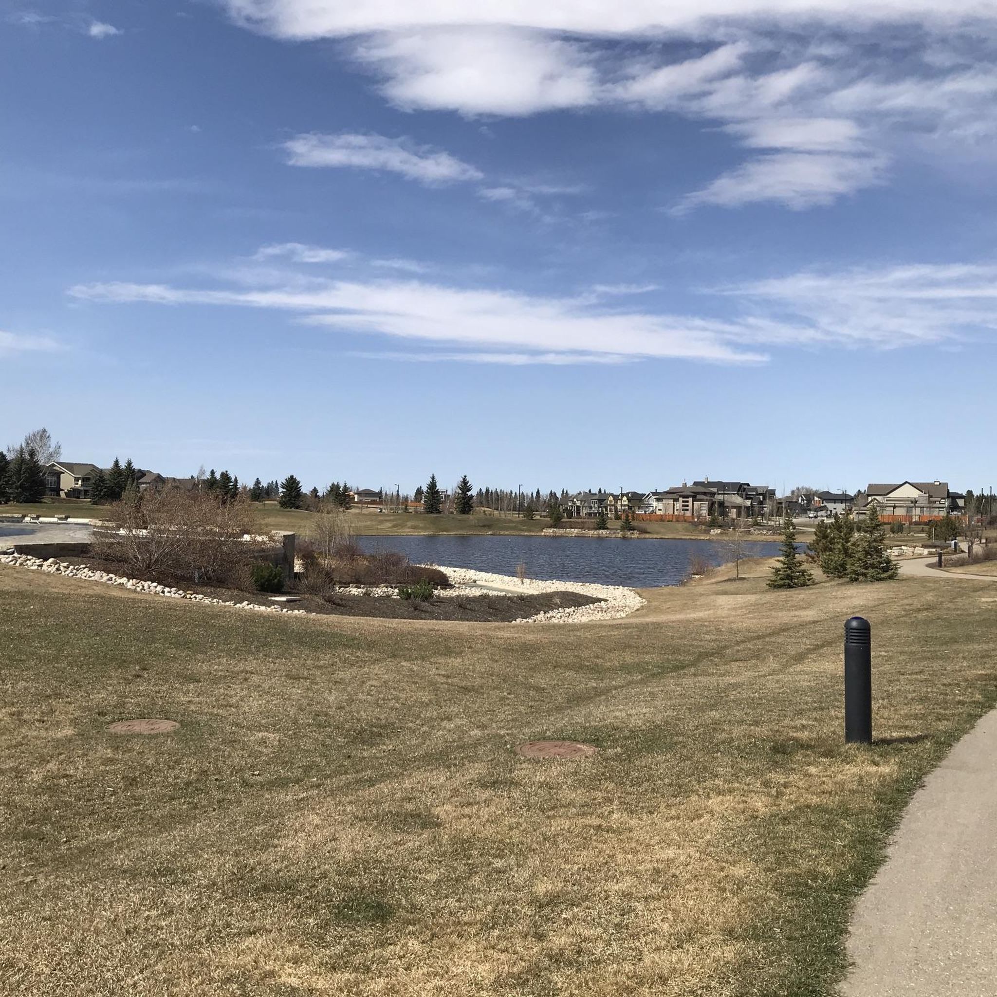
Tips from the Community

John Cameron was a pioneer citizen and businessman who lived at the north end of Cameron Avenue, the road that bears his name. He arrived in Edmonton from Winnipeg in 1881, bringing with him merchandise to start a business. Cameron was president of the city's first Board of Trade, a member of the first town council in 1892 and 1895, and served as chairman of the Edmonton School Board. Cameron died in 1919 at the age of 74.
0
0
This park is in the Carter Crest neighbourhood and has an area of 1.86 ha. Robert I. Carter (1858-1931) was an agent for the Canadian government who advised Americans on their prospects as immigrants in Canada. In 1906, after numerous visits to Edmonton from his home in Ohio, he purchased a farm in what is now Terwillegar Park, naming it Riverside Farm. While Carter moved to Strathcona in 1910, his sons continued to work on the farm until 1946. Carter was active in the affairs of Strathcona, serving on the council for rural districts, as president of the Conservative Association of Strathcona and as a member of the Masonic Order. In 1923 Carter and his wife returned to the United States and lived in Long Beach, California, for the rest of their lives.
0
0
The Colonel F.C. Jamieson Park is in the Jamieson Place neighbourhood and has an area of 3.08 ha. Designation Year 1992. Frederick Charles Jamieson (1875-1966) was a prominent lawyer and politician who came to the Edmonton/Lacombe district in 1895. Born and educated in Ontario, he was admitted to the bar of the North-West Territories in 1899 and went on to practise law with A.C. Rutherford, the first premier of Alberta. Jamieson served in both the Boer War and WWI. From 1931 to 1935 he held a seat in the Alberta legislature. Jamieson was presented with a life membership in the Edmonton Bar Association in 1953. He retired in 1962.
0
0
This park is named in honour of the pilots John H. "Jack" Reilly (b. 1921) and Moretta F.B. "Molly" Reilly (1922-1980). Edmonton-born Jack Reilly earned his pilot's licence in 1938 and joined the Royal Canadian Air Force (RCAF) in 1940. By 1946 he had obtained the most advanced military instruction and earned the most senior pilot's licence. Jack was chief pilot at a commercial flying school and worked as chief pilot for several firms, flying all over the world. Ontario-born Molly Reilly joined the RCAF as a photographer in 1942. She began flight training in 1944, earned her pilot's licence in 1945, her commercial licence and her instructor's rating in 1948. She also earned a class-1 instrument rating and an airline transport licence. The Reillys married in 1959 and moved to Edmonton in 1962. They were named to Canada's Aviation Hall of Fame in 1973. Reilly Park is in the Ramsay Heights neighbourhood and has an area of 0.59 ha.
0
0
Named after the street it is on in the Rhatigan Ridge community.
0
0
Terwillegar Park, formerly Riverbend Park, lies in a bend of the North Saskatchewan River, west of Rhatigan Ridge neighbourhood. In the early 1900s this land was used for ranching and later, as a gravel pit. When the area was restructured as a park, the gravel pits were turned into ponds and trails. Over the years, the area was commonly identified by this name. The park's development plan calls for picnic and winter sports areas, an administration building, a nature centre, a boathouse and a number of trails that connect with existing river valley trails. Terwillegar Park is west of the Riverbend subdivision and has an area of 174.88 ha.
0
0
This 1.58-ha. park in the Brookside neighbourhood takes its name from a nearby school as well as the neighbourhood. The neighbourhood name is derived from its location adjacent to Whitemud Creek.
0
0

Frequently Asked Questions
Are bicycles allowed everywhere in Whitemud Creek Ravine?
No, it's important to note that bicycles are prohibited in significant portions of the Whitemud Creek Ravine Nature Reserve, particularly between Fox Drive and 23 Avenue, and in the north and south nature reserve areas. These restrictions protect wildlife and the natural environment. However, many other parts of the broader Whitemud Creek area and its connections to the larger Edmonton river valley system do offer excellent touring cycling opportunities.
What kind of terrain can I expect on touring cycling routes in Whitemud Creek Ravine?
You'll find a diverse range of terrain, including paved and gravel multi-use paths. Routes often wind through forested areas, offering views of Whitemud Creek. Some paths are mostly paved, while others may include unpaved or more challenging segments, connecting to Edmonton's extensive river valley system.
How many touring cycling routes are available in the Whitemud Creek Ravine area?
There are over 150 touring cycling routes available in the Whitemud Creek Ravine area. These include a good mix of difficulties, with approximately 88 easy routes, 55 moderate routes, and 14 difficult routes to choose from.
Are there any easy, family-friendly touring cycling routes?
Yes, there are many easy routes suitable for families. For instance, the Whitemud Creek Bridge – Terwillegar Powerline Trail loop from Riverbend is an easy 8.2-mile (13.2 km) route that offers pleasant creek views and connects to the powerline trail.
What are some notable landmarks or natural features I might see along the routes?
While cycling in the permitted areas, you can encounter several interesting features. Routes often pass by or offer access to points like the Whitemud Creek Bridge and connect to areas like Terwillegar Powerline Trail. You might also spot the MacTaggart Sanctuary Path or the Chickadee and Nuthatch Feeding Spot.
Are there any challenging touring cycling routes for experienced riders?
Absolutely. For a more challenging ride, consider the Terwillegar Park Footbridge – Terwillegar Park loop from Riverbend. This difficult 12.0-mile (19.3 km) path features significant elevation gain and explores the extensive trails within Terwillegar Park.
Can I find routes that connect to the wider Edmonton river valley system?
Yes, many touring cycling routes in the Whitemud Creek area connect to Edmonton's extensive river valley system, offering opportunities for longer rides. For example, the Terwillegar Powerline Trail – High Level Bridge loop from Century Park is a moderate 23.1-mile (37.2 km) route that extends towards the North Saskatchewan River.
What do other touring cyclists enjoy most about the Whitemud Creek Ravine area?
The area is highly rated by the komoot community, with an average score of 4.6 stars from over 160 reviews. Reviewers often praise the diverse terrain, the scenic forested areas, and the well-maintained multi-use paths that connect various parks and points of interest.
Are there any good loop routes for touring cyclists?
Yes, many routes are designed as loops, providing a convenient way to explore the area. The Wedgewood Ravine Pathway – Anthony Henday Footbridge loop from Riverbend is a popular moderate 18.0-mile (29.0 km) loop that takes you through forested areas and along the Wedgewood Ravine Pathway.
What are the parking options for accessing touring cycling routes?
While specific parking details vary by trailhead, many access points to the Whitemud Creek area and connecting parks like Terwillegar Park offer designated parking facilities. It's advisable to check the starting point of your chosen route for the most accurate parking information.
Is it possible to cycle in the Whitemud Creek Ravine area during winter?
While the guide focuses on touring cycling, some multi-use paths in the broader Whitemud Creek area and its connections to the river valley may be maintained for winter use, offering opportunities for fat biking or cycling with appropriate tires. However, conditions can vary greatly, so it's best to check local trail conditions before heading out.
Are there any routes that offer views of the North Saskatchewan River?
Yes, some routes in the Whitemud Creek area extend and connect to the larger Edmonton river valley system, providing views of the North Saskatchewan River. The Terwillegar Park Footbridge – Fort Edmonton Footbridge loop from Terwillegar Heights is an easy 10.3-mile (16.5 km) route that connects to the river valley and offers scenic views.
Most popular routes in Whitemud Creek Ravine
Most popular attractions in Whitemud Creek Ravine

Get inspired with the komoot mobile app


Explore more
Browse the best Cycling routes in other regions.
