The best walks and hikes around Altenkirchen
4.5
(15708)
51,937
hikers
2,194
hikes
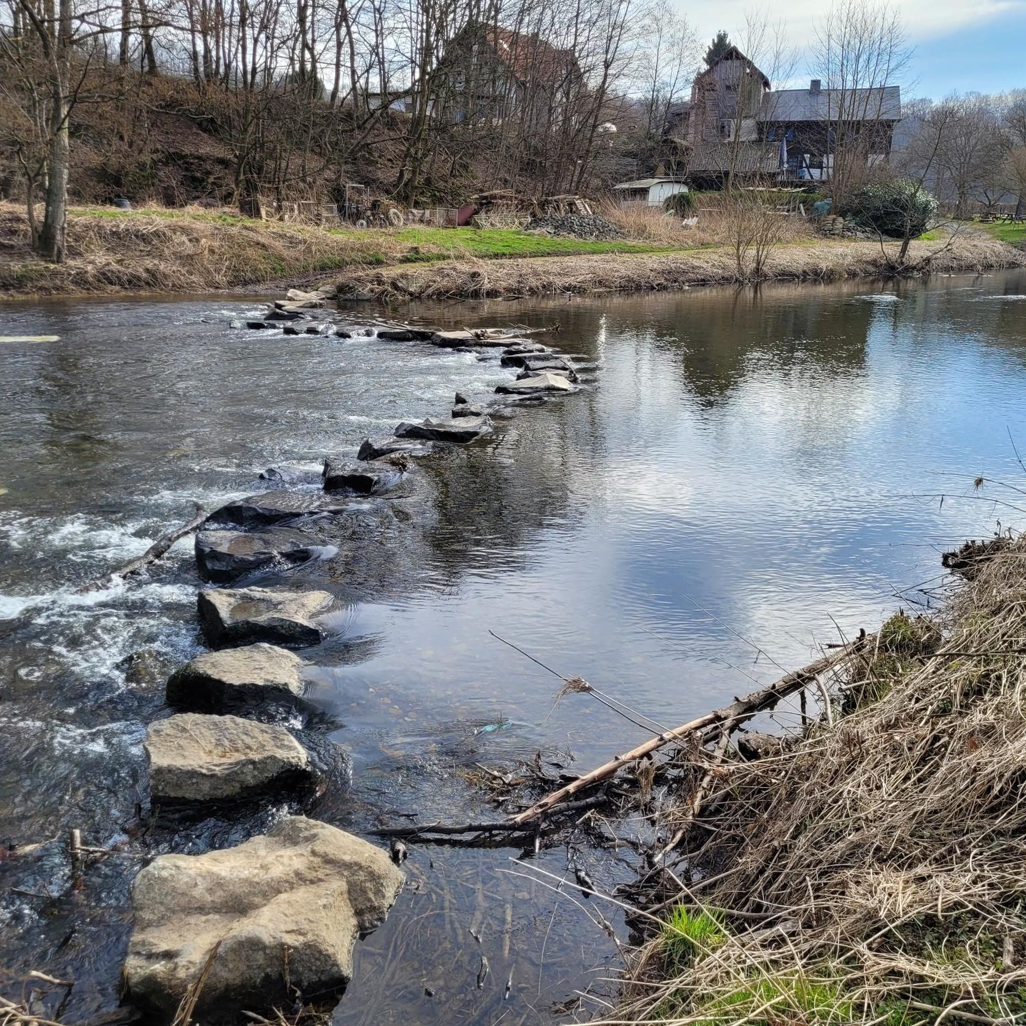
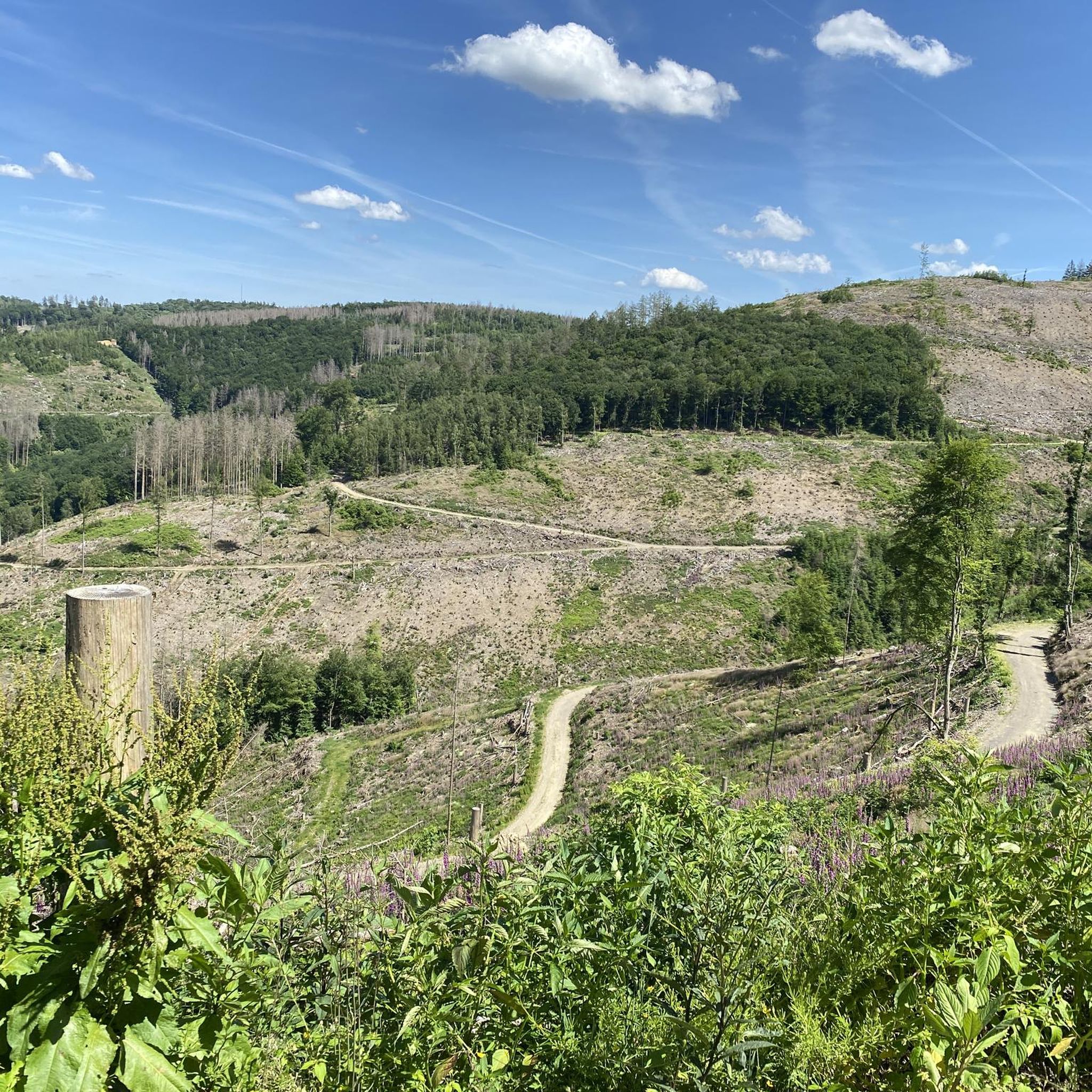
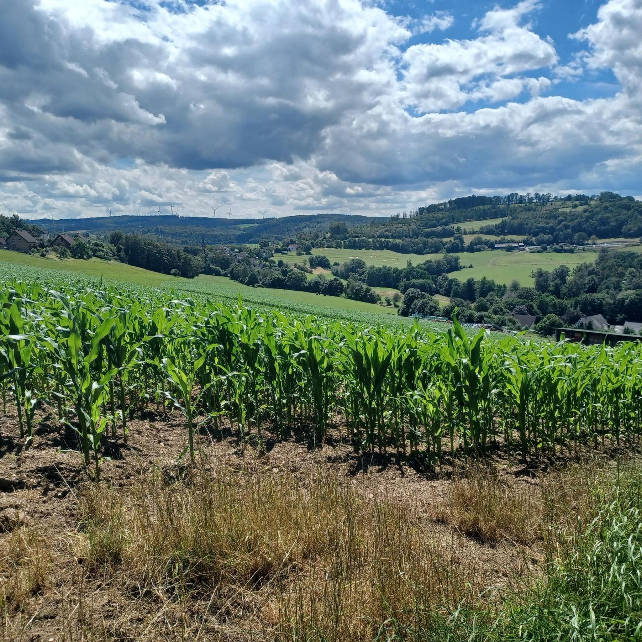
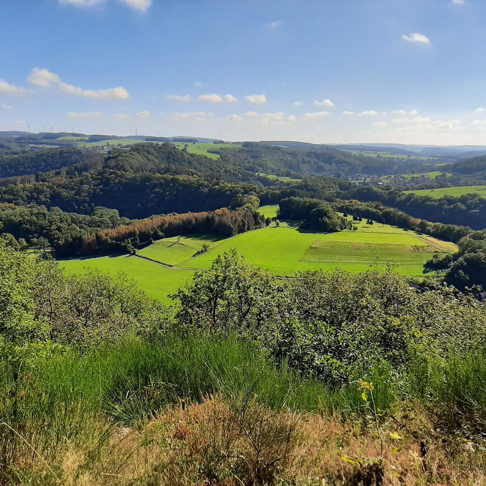
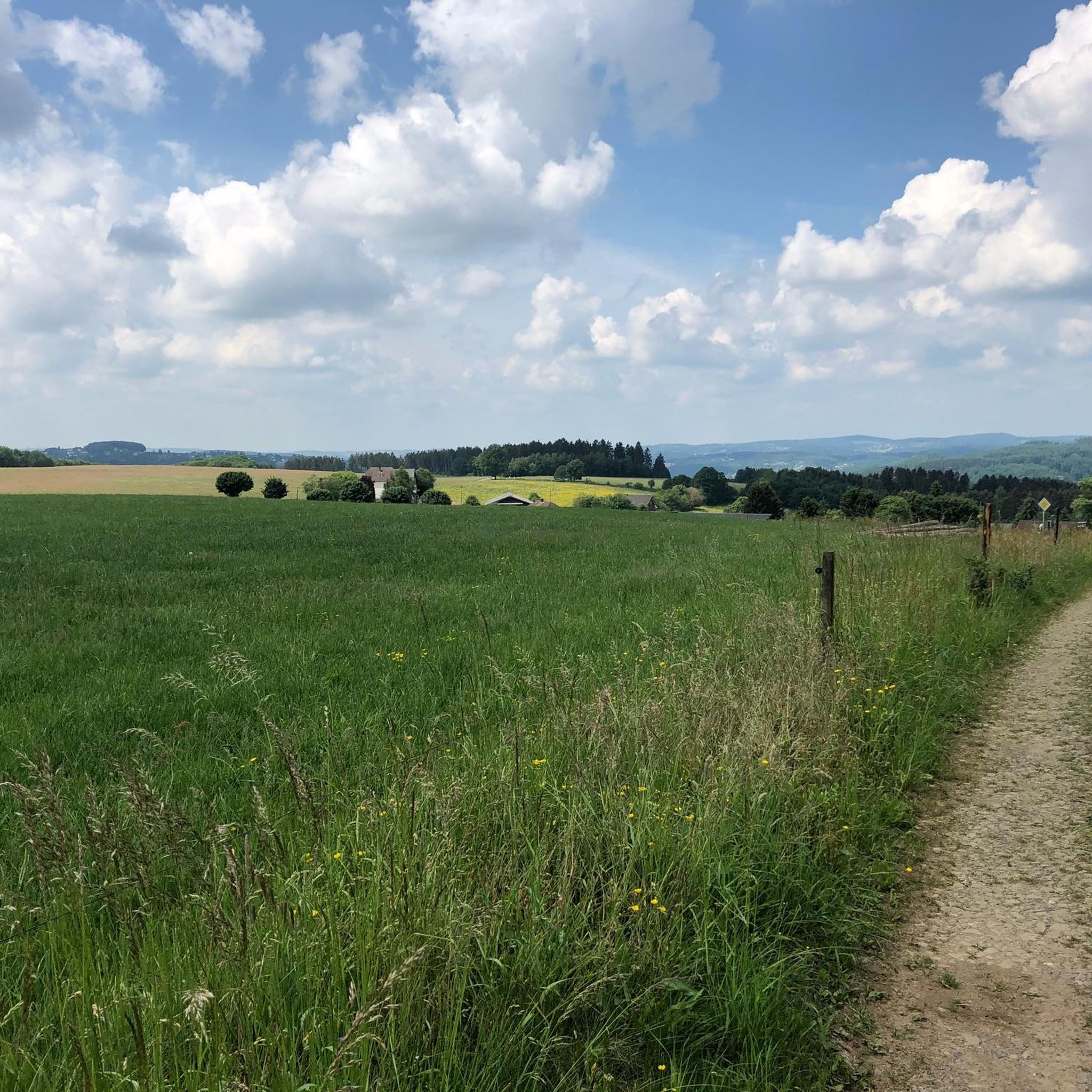
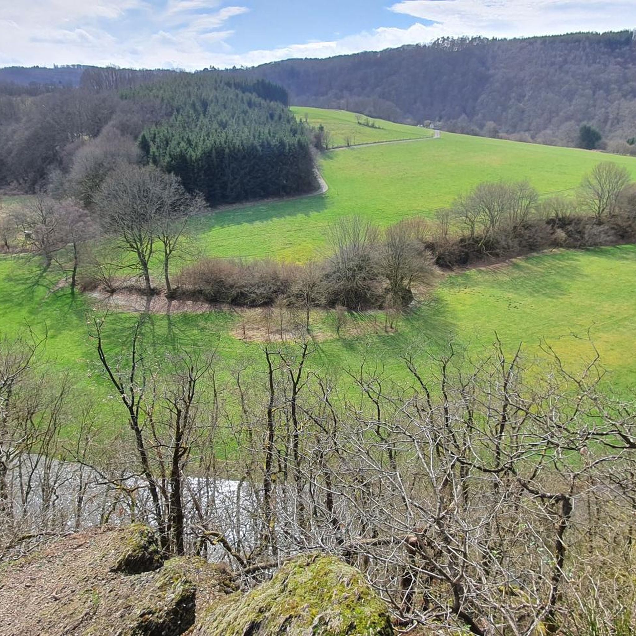
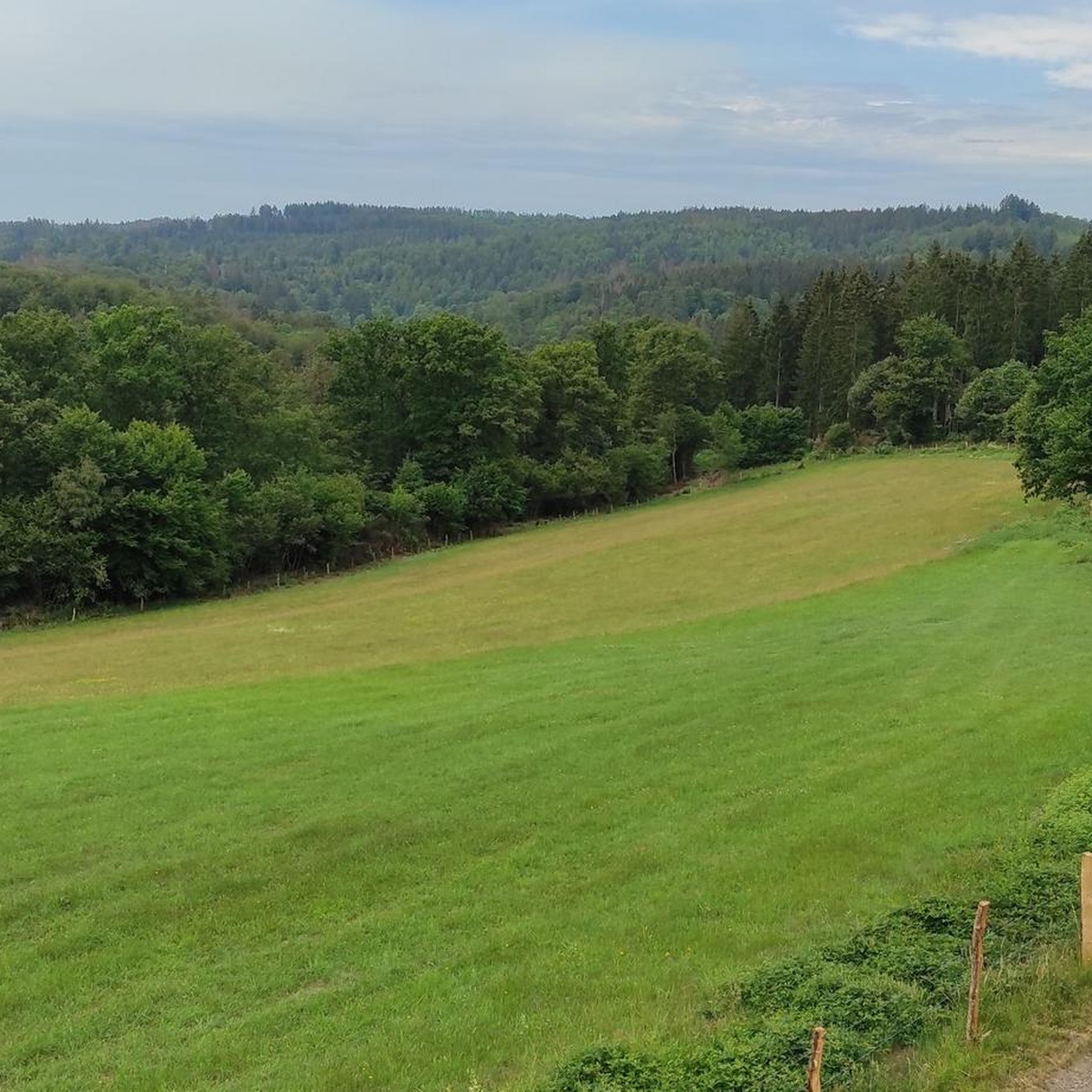
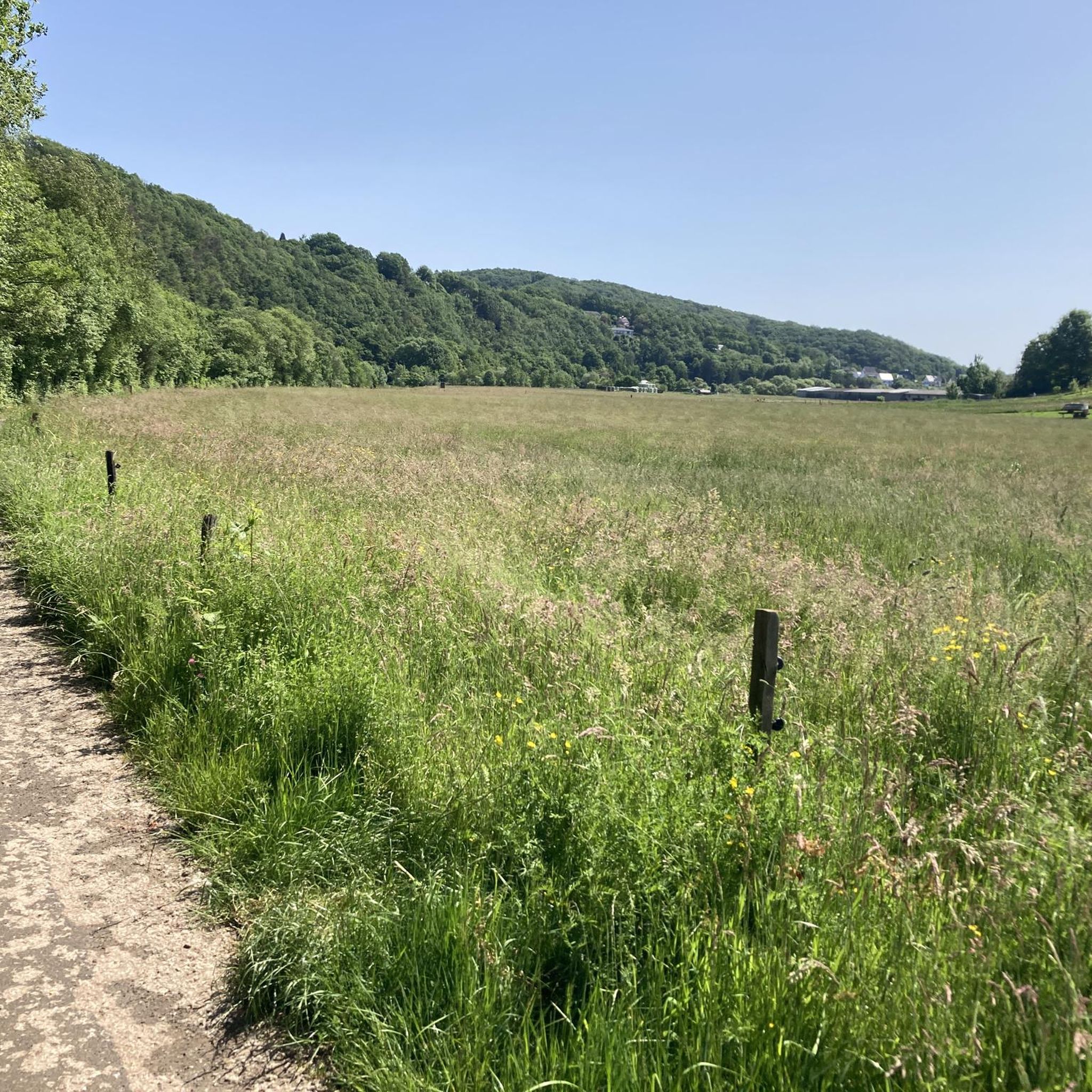
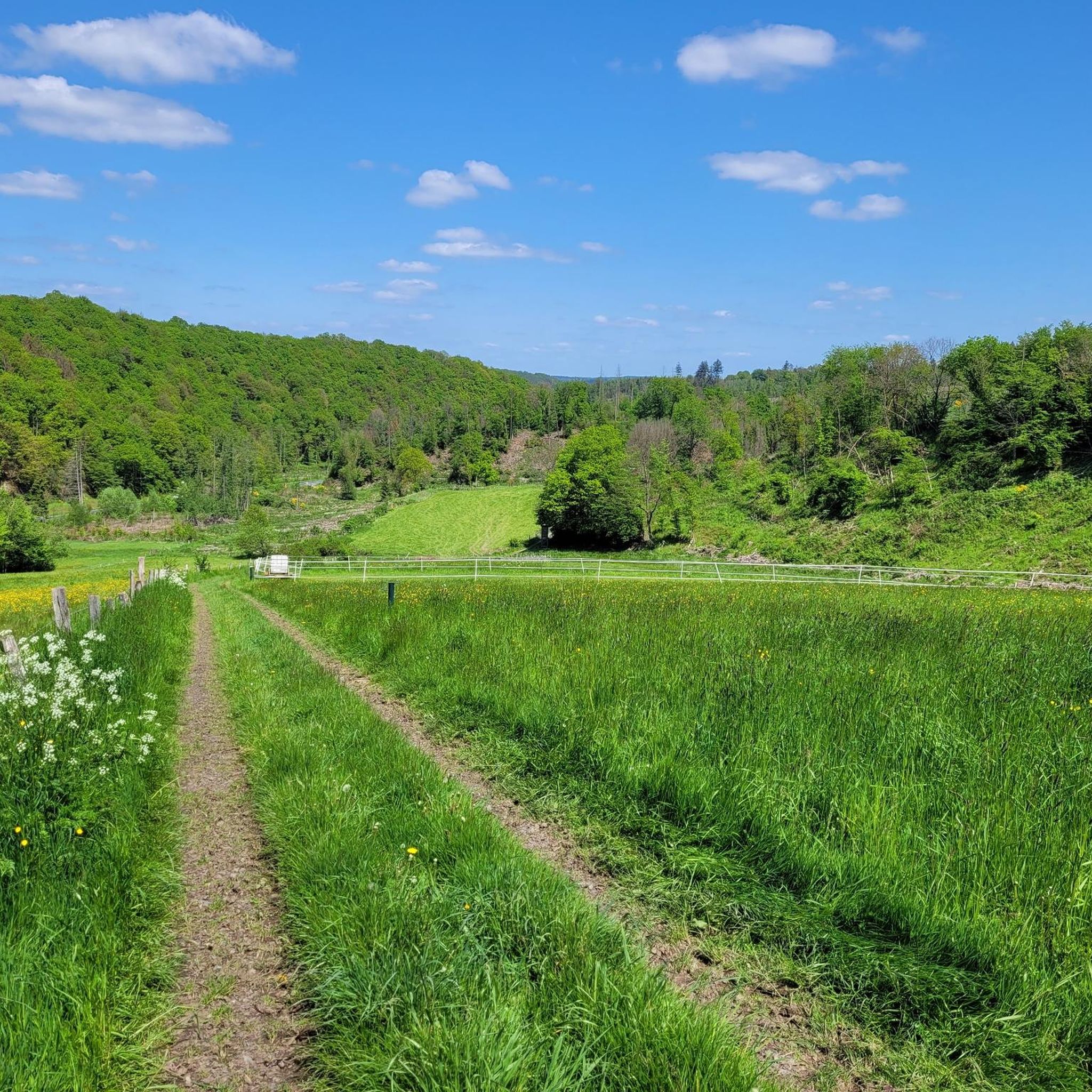
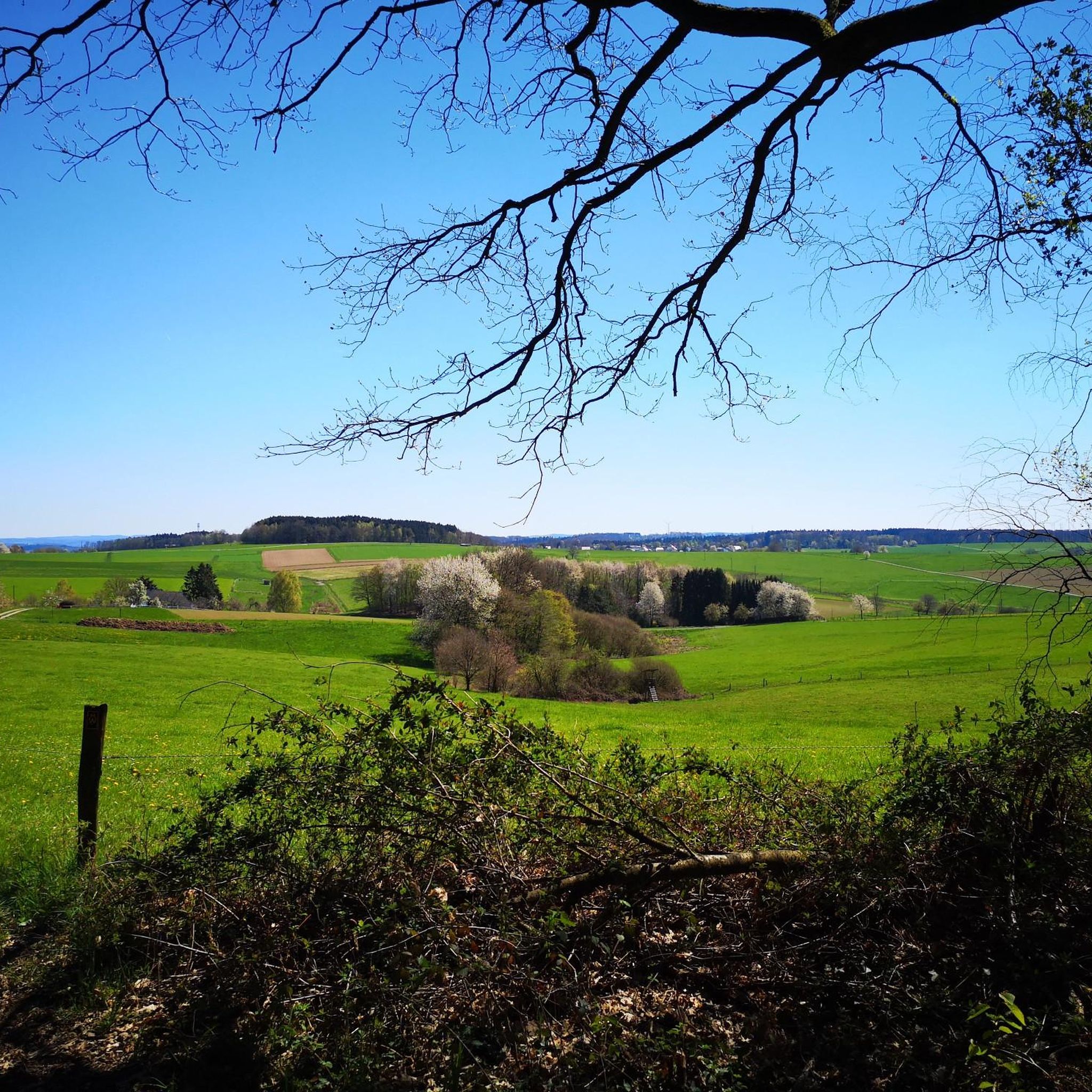
Hiking around Altenkirchen offers diverse landscapes in Germany's Westerwald region. The area is characterized by rolling hills, dense forests, and scenic river valleys carved by the Sieg and Wied rivers. This varied terrain provides numerous well-maintained trails suitable for different hiking preferences, from gentle riverside paths to more challenging ascents.
Best hiking trails around Altenkirchen
- The most popular hiking route is Wäller Tour Druidenstein-Wanderweg – Kirchen (Sieg), a 9.8 miles (15.8 km) trail that takes 4 hours 31 minutes…
Last updated: October 7, 2026
4.5
(101)
378
hikers
15.8km
04:32
380m
380m
Moderate hike. Good fitness required. Easily-accessible paths. Suitable for all skill levels.
4.8
(986)
2,573
hikers
11.3km
03:13
190m
190m
Hard hike. Good fitness required. Sure-footedness, sturdy shoes and alpine experience required.

4.4
(46)
132
hikers
9.79km
02:53
280m
270m
Moderate hike. Good fitness required. Easily-accessible paths. Suitable for all skill levels.
4.7
(562)
1,571
hikers
3.04km
00:53
80m
90m
Easy hike. Great for any fitness level. Easily-accessible paths. Suitable for all skill levels.
4.8
(288)
774
hikers
7.41km
02:09
190m
190m
Moderate hike. Good fitness required. Easily-accessible paths. Suitable for all skill levels.
4.7
(331)
971
hikers
9.65km
02:53
290m
290m
Moderate hike. Good fitness required. Easily-accessible paths. Suitable for all skill levels.
4.2
(21)
87
hikers
7.13km
01:57
110m
110m
Easy hike. Great for any fitness level. Easily-accessible paths. Suitable for all skill levels.
4.7
(246)
687
hikers
5.39km
01:32
130m
130m
Easy hike. Great for any fitness level. Easily-accessible paths. Suitable for all skill levels.
4.7
(144)
505
hikers
10.4km
03:01
270m
270m
Moderate hike. Good fitness required. Easily-accessible paths. Suitable for all skill levels.
4.8
(152)
407
hikers
Easy hike. Great for any fitness level. Easily-accessible paths. Suitable for all skill levels.
Get access to more routes and recommendations from other explorers.
Already have an account?
Our route recommendations are based on thousands of hikes, rides, and runs completed by other people on komoot.
Start today with a free account
Your next adventure awaits.
Other adventures around Altenkirchen


Tips from the Community

The Josefsglück slate visitor mine and the waterworks at the Unterer Grimmlack are located on the approximately 10-kilometer-long Wäller Tour Grubenwanderweg Brachbach trail in the municipality of Brachbach. Josefsglück Mine + History: The slate mine was operated from 1896 or 1903 until 1925. During World War II, it served as an air-raid shelter, after which it was operated again on a part-time basis from 1945 to 1948. + Current use: Since June 2011, it has been a visitor mine, the Schieferstollen Josefsglück. + Special features: Six mining halls and a unique presentation element worldwide, the so-called "rising sun", can be seen. + Opening hours: Open from May to October by prior arrangement with the Brachbach local history society. Tours last approximately 1 to 1.5 hours. Waterworks and Unterer Grimmlack + Location: The stations belong to the Grubenwanderweg (mining trail) created by the "Glück-Auf" Brachbach local history society, which leads past over 30 historical mining sites. + Function: Some of the old adits (such as the Stollen Untere Girnbach or Langgrube) are used in connection with the local water supply or as drinking water reservoirs. + Hiking: The circular route connects the heritage of ore and slate mining with nature stations and on-site information boards.
0
0
The Venus-Charlottenstollen mine is a historic mine in Brachbach, which is today a popular stop on the Brachbach mine hiking trail. History of the mine + Early operating period: The mine was in operation from 1897 to 1930. + Slate mining: Slate was mined there from 1910 onwards. + World War II: In 1942, it was recommissioned as an iron ore and slate mine. + End: Slate mining continued until 1949, before the facility finally closed in the 1950s. Current condition and hiking + Restoration: The Brachbach local history association (Heimatverein Brachbach) has prepared the site. + Sights: On site, you can see the adit entrance, remains of the spoil heap, and the old slate splitting area. + Special feature: A well provides fresh mine water.
0
0

Superb view of the Siegtal.
0
0
One of the many small springs here on the Giebelberg.
0
0

I (82) did the tour on Sunday. It was simply beautiful with a fantastic view. I highly recommend a visit to the church in Friesenhagen.
0
0

The entire place is nostalgically oriented towards the miner.
0
0

Nice view with seating!
0
0

Feel free to ring the bell if you're already there.
0
0
Frequently Asked Questions
What kind of terrain can I expect on hiking trails around Altenkirchen?
Hiking around Altenkirchen offers a diverse landscape characterized by rolling hills, dense forests, and picturesque river valleys carved by the Sieg and Wied rivers. You'll find varied terrain, from gentle riverside paths to more challenging ascents, suitable for different preferences and fitness levels.
Are there hiking trails suitable for families with children in Altenkirchen?
Yes, Altenkirchen offers many family-friendly options. The region is known for its variety of circular hiking trails and themed routes, including the Sieg adventure trails, some of which are specifically designed for families. An easy option is the Auenlandweg (Shire Trail) – Firzelsbachtal Stream Crossing loop from Hövels, which is about 3 km long.
What are some notable natural attractions or landmarks I can see while hiking in Altenkirchen?
The region is rich in natural and historical attractions. You can explore the impressive Druidenstein basalt cone near Kirchen (Sieg), a significant natural monument. Other highlights include the tranquil Wied Valley, the Mühlental gorge, and historical sites like the Bismarck Tower, which is integrated into popular routes.
Are there any long-distance hiking trails accessible from Altenkirchen?
Altenkirchen serves as an ideal starting point for several renowned long-distance trails. These include the WesterwaldSteig, Natursteig Sieg, and Druidensteig. The Wiedweg, stretching approximately 101 km along the Wied River, also offers diverse natural beauty.
What is the best time of year to go hiking in Altenkirchen?
The best seasons for hiking in Altenkirchen are spring and autumn. During these times, the natural scenery is particularly vibrant, with blooming flowers in spring and colorful foliage in autumn, making for a picturesque hiking experience.
Are there many circular hiking routes available in the Altenkirchen area?
Yes, the Altenkirchen region excels in its variety of circular hiking trails. Many routes are designed as loops, allowing you to start and end at the same point. Examples include the award-winning Auenlandweg and various Sieg adventure trails.
What do other hikers enjoy most about the trails in Altenkirchen?
The trails in Altenkirchen are highly rated by the komoot community, with an average score of 4.6 stars from over 12,000 reviews. Hikers often praise the diverse landscapes, well-maintained paths, and the opportunities to immerse themselves in nature, from dense forests to scenic river valleys.
Are there any challenging hikes for experienced hikers in Altenkirchen?
Yes, while there are many easy and moderate trails, Altenkirchen also offers more demanding treks for experienced hikers. An example of a difficult route is the Stepping stones across the Nister – Helmeroth Suspension Bridge loop from Helmeroth, which features river crossings and a suspension bridge.
Can I find trails that include historical sites or viewpoints?
Absolutely. Many routes in Altenkirchen incorporate historical sites and offer panoramic views. You can discover historical sites like Freusburg castle or enjoy views from locations such as the Potzberg lookout tower. The View of Burg Wildenburg – Wildenburg Castle loop from Friesenhagen is one such trail.
Are there any themed hiking trails in Altenkirchen?
Yes, the region features several themed routes. These include the Brachbach mine hiking trail, the monastery trail around Marienthal monastery, the botanical trail, chapel trail, and GeoRoutes of the Westerwald-Lahn-Taunus Geopark. The Wäller Tour Grubenwanderweg Brachbach is a great example.
Are there trails along the Wied River?
Yes, the Wied River is central to the hiking experience in Altenkirchen. The Wied River Trail (Wiedweg) – Bridge over the Wied loop from Peterslahr is a moderate route that follows the river, offering beautiful views and tranquil paths.
Are there any easy, shorter walks available?
For those looking for shorter, easier walks, Altenkirchen has plenty to offer. The Raiffeisen's Sunday Walk Wäller Tour is an easy 7 km route, perfect for a relaxed outing. Another short and easy option is the Meadow path near Steckenstein – View of the Sieg loop from Mittelhof.
Most popular routes around Altenkirchen
Most popular attractions around Altenkirchen

Get inspired with the komoot mobile app


Didn’t find what you were looking for?
Check out more Hikes throughout Altenkirchen below and find the perfect route in your destination.
Explore more
Browse the best Hikes in other regions.
