The best road cycling routes around Im Saalscheid
4.5
(1810)
21,449
riders
240
rides
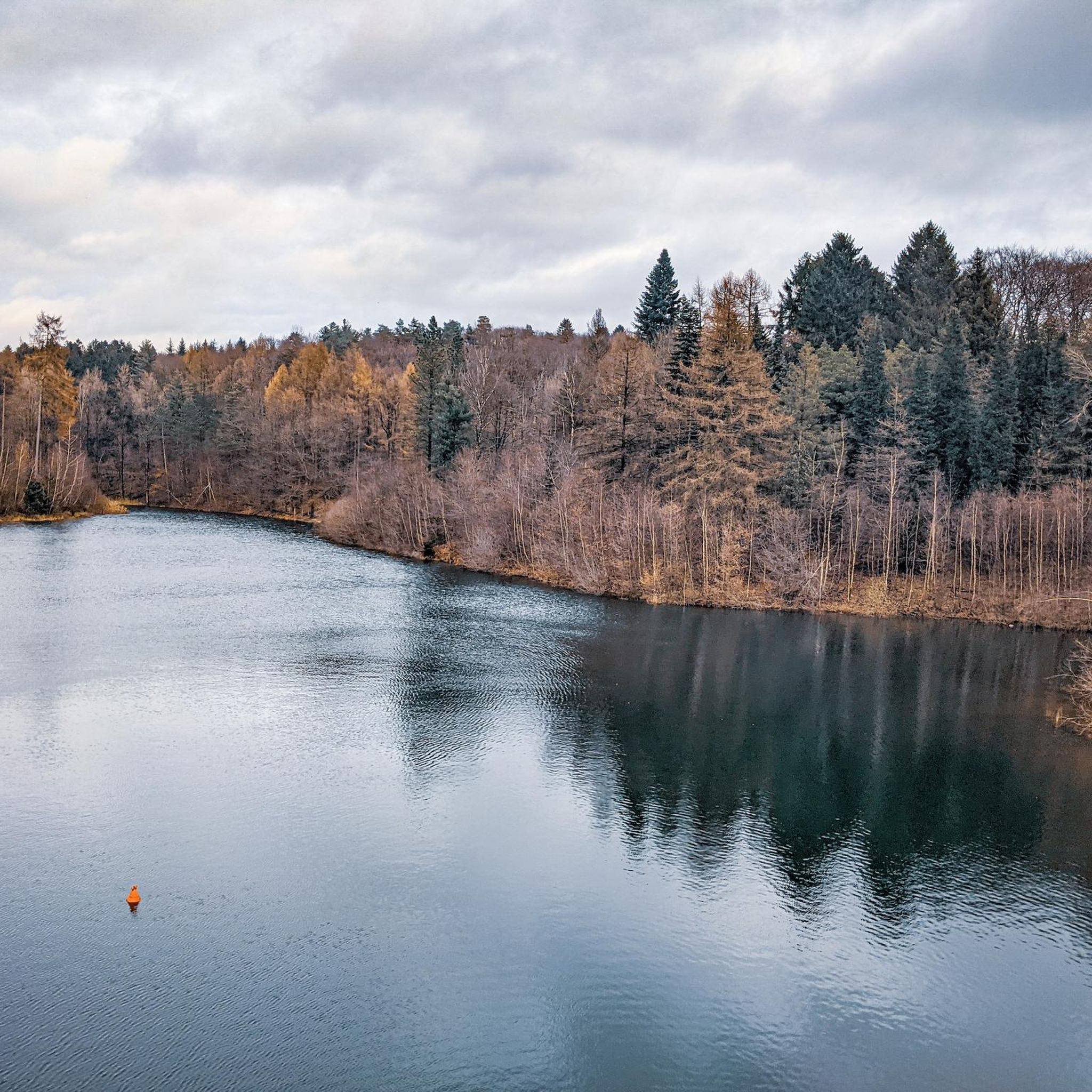
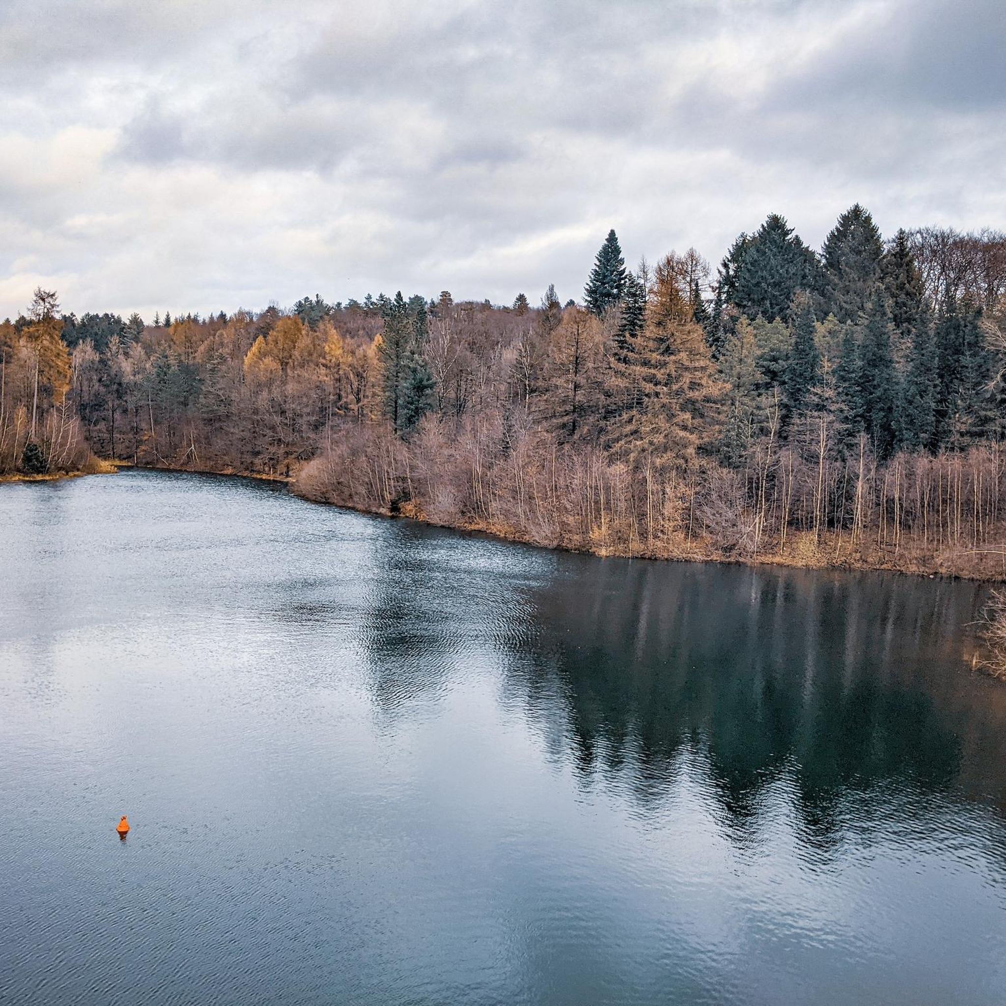
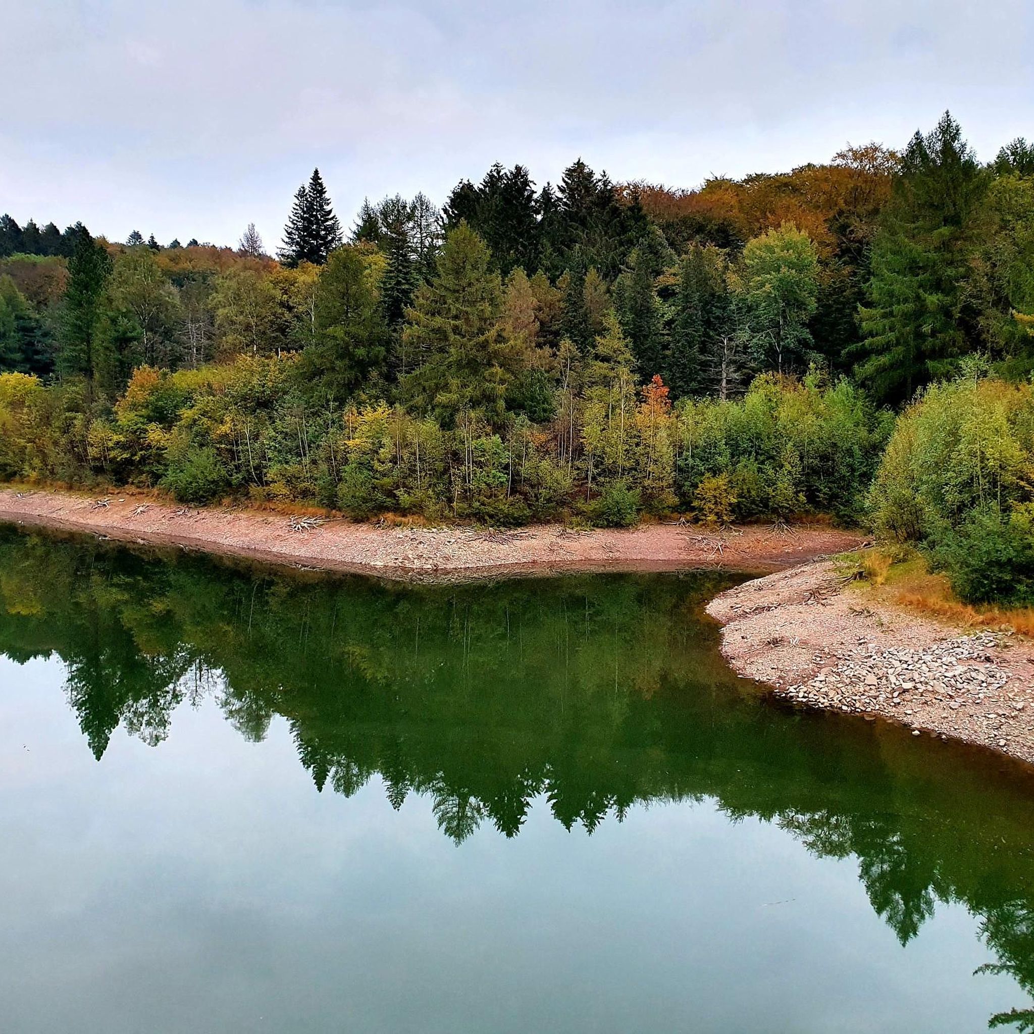
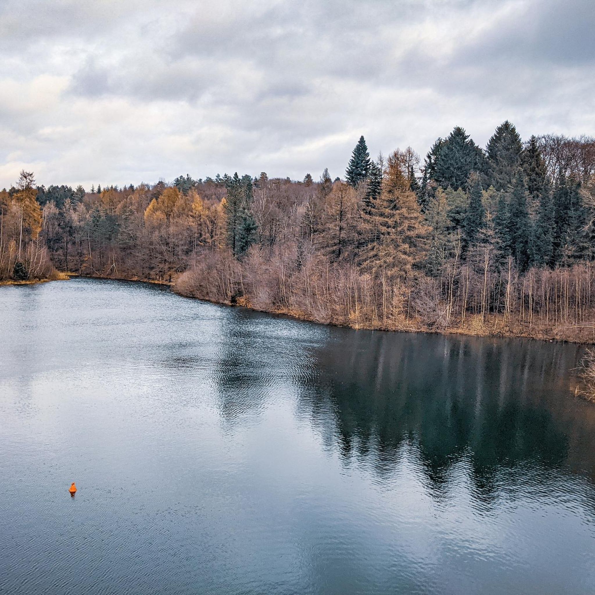
Road cycling routes around Im Saalscheid are characterized by hilly terrain and dense forests within the Bergisches Land region of Wuppertal, Germany. The area features significant elevation changes, with routes ranging from 190 to 325 meters above sea level. River valleys, such as those formed by the Gelpebach and Saalbach, and the Ronsdorfer Talsperre, contribute to the diverse landscape. Disused railway lines, like the Nordbahntrasse, have been converted into cycling paths, offering sections with gentle inclines and smooth surfaces.
Best…
Last updated: May 23, 2026
3.0
(1)
16
riders
21.9km
01:05
240m
240m
Easy road ride. Great for any fitness level. Mostly well-paved surfaces and easy to ride.
4.0
(1)
27
riders
24.0km
01:10
340m
340m
Moderate road ride. Good fitness required. Some segments of this route may be unpaved and difficult to ride.

Sign up for free
5.0
(2)
11
riders
15.1km
00:45
180m
180m
Moderate road ride. Great for any fitness level. Some segments of this route may be unpaved and difficult to ride.
4.8
(30)
443
riders
53.2km
02:41
650m
650m
Moderate road ride. Good fitness required. Some segments of this route may be unpaved and difficult to ride.
5.0
(4)
96
riders
142km
07:03
1,880m
1,880m
Hard road ride. Very good fitness required. Some segments of this route may be unpaved and difficult to ride.
Get access to more routes and recommendations from other explorers.
Sign up for free
Already have an account?
Our route recommendations are based on thousands of hikes, rides, and runs completed by other people on komoot.
Start today with a free account
Your next adventure awaits.
Login or Signup


Other adventures around Im Saalscheid

Tips from the Community

Nostalgic vibes await you at Hilbertshammer. On a board, you'll find background information on "Stainless steel in the Silbertal": In this enchanted place, a hammer already stood around 1460. The owners changed frequently, and with them its name. In 1648, Johannes Hilberts from Stursberg took over the already old hammer and completely rebuilt it. The Hilberts likely operated it as a side business. Many families did this, who could no longer live off their very small, inherited farm plots. The facility fell into disrepair during the Thirty Years' War. However, when Dietrich Hilberts from Wittens-Stursberg took over the hammer in 1732, it had already been in operation again for several years. The new owner left the name "Hilbertshammer", which can be found on old maps. In the 19th century, the trip hammer was converted into a steel refining hammer. For the production of the very high-quality refined steel, the "Luppen" (iron cakes) delivered from the Müsener adit in Siegerland were repeatedly forged and formed into steel ribs. Material of different origin and composition was used for this and also forged into ribs. The different ribs were then bundled into a pack of 20, heated, and forged. By repeatedly folding and re-forging the pack, the coveted, multi-layered refined steel was obtained.
0
0


During rush hour, there is a lot of traffic here and some motorcycles on weekends. However, the asphalt is very good and the route is really picturesque with some good views.
0
0

Great natural route in the mountainous landscape
0
0

The route is very nice to drive. Not very busy, especially in the evening.
0
0

Unfortunately, it broke on May 1, 2025! :o( And that at 30°C!
2
0

The Wuppertal-Küllenhahn telecommunications tower, also known as the "Rigi-Kulm" after a former tourist restaurant in the same location, is one of the oldest reinforced concrete telecommunications towers in Germany. It was built in 1956 and is 98.5 meters tall. More information: https://de.wikipedia.org/wiki/Fernmeldeturm_Wuppertal-K%C3%BCllenhahn
2
0
Frequently Asked Questions
What kind of terrain can I expect when road cycling around Im Saalscheid?
Im Saalscheid, located within the Bergisches Land region of Wuppertal, is characterized by its hilly terrain and dense forests. You can expect significant elevation changes, with routes ranging from 190 to 325 meters above sea level. River valleys, such as those formed by the Gelpebach and Saalbach, and the Ronsdorfer Talsperre, contribute to the diverse landscape. Some routes also incorporate sections of disused railway lines, like the Nordbahntrasse, which offer gentler inclines and smooth, paved surfaces.
How many road cycling routes are available in Im Saalscheid?
There are over 240 road cycling routes around Im Saalscheid, offering a wide variety of options for different skill levels and preferences. These include 31 easy routes, 146 moderate routes, and 65 difficult routes, ensuring there's something for everyone from beginners to experienced cyclists.
Are there routes suitable for beginners or less experienced road cyclists?
Yes, Im Saalscheid offers 31 easy road cycling routes. These often utilize converted railway lines, providing gentle inclines and smooth surfaces away from main road traffic. A good example is the Tool Route – New Bridge Balkantrasse loop from Gelpe-Saalbach, which incorporates sections of former railway lines for a smooth and scenic ride.
Are there challenging routes for experienced road cyclists seeking elevation gains?
Absolutely. The hilly nature of the Bergisches Land means there are plenty of smaller, winding roads with significant elevation changes. Im Saalscheid features 65 difficult routes for those looking for a demanding ride. For instance, the View of the Ennepetal Dam – Krommenohler Tunnel loop from Wuppertal-Ronsdorf is a challenging route covering over 140 km with nearly 2000 meters of elevation gain.
What natural attractions can I see along the road cycling routes?
Many routes pass by beautiful natural features. You can cycle past the serene Ronsdorf Reservoir, explore the picturesque Saalbach Valley, or discover the tranquil Pond at Reinshagenshammer. The region's heavily wooded areas also offer refreshing natural environments for your rides.
Are there any historical or industrial landmarks to explore along the routes?
Yes, the valleys of the Gelpe and Saalbach are rich in industrial heritage. You might encounter historical sites like the Käshammer, dating back to 1607, or the Kremerskotten. The Steffenshammer – Steffenshammer Watermill loop from Cronenberg specifically features the historical Steffenshammer Watermill, offering glimpses into the region's past.
What do other road cyclists think about the routes in Im Saalscheid?
The road cycling routes in Im Saalscheid are highly rated by the komoot community, with an average score of 4.5 stars from over 1,700 reviews. More than 21,000 road cyclists have used komoot to explore the varied terrain, often praising the combination of challenging climbs, scenic views, and well-maintained paths.
Are there any circular road cycling routes in Im Saalscheid?
Yes, many of the routes around Im Saalscheid are designed as loops, allowing you to start and end at the same point. Examples include the Nature and Environment Center – Freudenberg Steady Climb loop from Ronsdorf, which leads through forested hills, and the View of the Itter Valley – Wuppertal Zoo loop from Wuppertal-Ronsdorf.
How long are the road cycling routes typically around Im Saalscheid?
The routes vary significantly in length to cater to different preferences. You can find shorter loops, such as the Nature and Environment Center – Freudenberg Steady Climb loop from Ronsdorf at 14.7 km, or longer, more challenging rides like the View of the Ennepetal Dam – Krommenohler Tunnel loop from Wuppertal-Ronsdorf, which spans over 140 km.
Are there places to eat or rest along the road cycling routes?
Yes, the region has traditional establishments that cater to cyclists. You can find places like the "Ausflugs-Gaststätte Zillertal" which provide opportunities to rest and refuel, perhaps enjoying local specialties. Many routes are integrated into areas where cafes and pubs are accessible.
What is the best time of year for road cycling in Im Saalscheid?
The spring and autumn months generally offer the most pleasant conditions for road cycling in Im Saalscheid, with milder temperatures and beautiful scenery as the foliage changes. Summer can also be excellent, though it's advisable to start earlier in the day to avoid the midday heat on longer climbs. Winter cycling is possible, but be mindful of potentially icy conditions on shaded roads and higher elevations.
Most popular routes around Im Saalscheid
Most popular attractions around Im Saalscheid

Get inspired with the komoot mobile app


Explore more
Browse the best Road cycling routes in other regions.
