The best running trails around Orinda
4.5
(68)
5,770
runners
368
runs
Jogging around Orinda offers a variety of terrain, from challenging climbs in regional parks to more gentle paths around reservoirs. The landscape is characterized by rolling hills, dense woodlands, and scenic viewpoints overlooking the East Bay. Numerous trails provide opportunities for runners to explore the natural beauty of this California region.
Best jogging routes around Orinda
- The most popular jogging route is Briones Reservoir loop via Bear Creek Trail —Briones Regional Park, a 13.1 miles (21.1 km) trail that takes 2 hours 22 minutes to complete. This challenging route offers varied terrain and reservoir views.
- Another top favourite among local runners is Seaview and Big Springs Loop, a difficult 6.5 miles (10.5 km) path. This route is known for its scenic vistas and rolling hills.
- Local runners also love the Volcano Quarry View – Views over the old quarry loop from Sibley Volcanic Regional Preserve, a 5.2 miles (8.4 km) trail leading through Sibley Volcanic Regional Preserve, often completed in about 1 hour 5 minutes.
- Jogging around Orinda is defined by rolling hills, dense woodlands, and regional park trails. The network offers options for different ability levels, from moderate loops to more difficult, longer routes.
- The routes in Orinda are highly rated by the komoot community with an average score of 4.4 stars from over 50 reviews. More than 5000 runners have used komoot to explore Orinda's varied terrain.
Last updated: August 5, 2026
40
runners
21.1km
02:22
500m
500m
The Briones Reservoir loop via Bear Creek Trail offers a diverse and demanding jogging experience, winding through a mix of shaded woodlands and open, grassy hillsides. You'll enjoy beautiful water views of the reservoir itself, and on clear days, panoramic vistas stretch out to Mount Diablo and the Sacramento River Delta. The trail features varied terrain, including unique singletrack sections, making it a dynamic and engaging route for those who appreciate changing scenery.
This is a difficult 13.1-mile (21.1 km) route with a significant 1652 feet (504 metres) of elevation gain, typically taking around 2 hours and 22 minutes to complete. Be aware that an EBMUD permit is required for access, which you can obtain online. After rain, some sections, particularly between the dam and Hampton Trail, can become extremely muddy and slippery, so plan your visit accordingly and carry ample water, especially during warmer periods.
What sets this route apart in Briones Regional Park is its blend of challenging elevation changes and the substantial amount of singletrack trail, offering a more intimate connection with the landscape. The park is home to diverse plant and animal life, with vibrant wildflowers in spring, and provides a tranquil experience compared to more crowded East Bay jogging routes. It's an excellent choice for experienced joggers seeking a robust workout in a scenic, less-trafficked environment.
32
runners
10.5km
01:23
300m
300m
If you're after a jogging route that truly tests your mettle while rewarding you with spectacular scenery, the Seaview and Big Springs Loop is an excellent choice. This difficult trail takes you through a diverse landscape of shaded eucalyptus groves and open hillsides, offering glimpses of the San Francisco skyline and Mount Diablo. The varied terrain, from fire roads to rocky single-track, keeps things interesting underfoot as you push through the climbs.
This 6.5-mile (10.5 km) loop, with its 993 feet (303 metres) of elevation gain, can be completed in about 1 hour and 23 minutes, making it a solid workout. Parking is readily available and free within Tilden Regional Park, often near the Quarry Picnic Area, so access is easy. Remember to bring plenty of water, especially during warmer months, as some sections are exposed to the sun.
The Seaview and Big Springs Loop is a fantastic example of the East Bay's natural beauty, connecting to wider networks like the East Bay Skyline National Recreational Trail. You'll traverse ecosystems ranging from dense pine forests to open meadows, providing a rich visual experience. It's also a dog-friendly trail, so your canine companion can join you for this challenging and rewarding run.

Sign up for free
34
runners
Moderate run. Good fitness required. Mostly paved surfaces. Suitable for all skill levels.
29
runners
18.0km
02:11
520m
520m
Hard run. Very good fitness required. Mostly paved surfaces. Suitable for all skill levels.
21
runners
23.6km
03:22
910m
910m
Hard run. Very good fitness required. Mostly paved surfaces. Suitable for all skill levels.
Get access to more routes and recommendations from other explorers.
Sign up for free
Already have an account?
Our route recommendations are based on thousands of hikes, rides, and runs completed by other people on komoot.
Start today with a free account
Your next adventure awaits.
Login or Signup

Tips from the Community

An indescribable range of hills, with lakes, forests, and stunning views. You definitely have to go hiking or do some sports here.
1
0

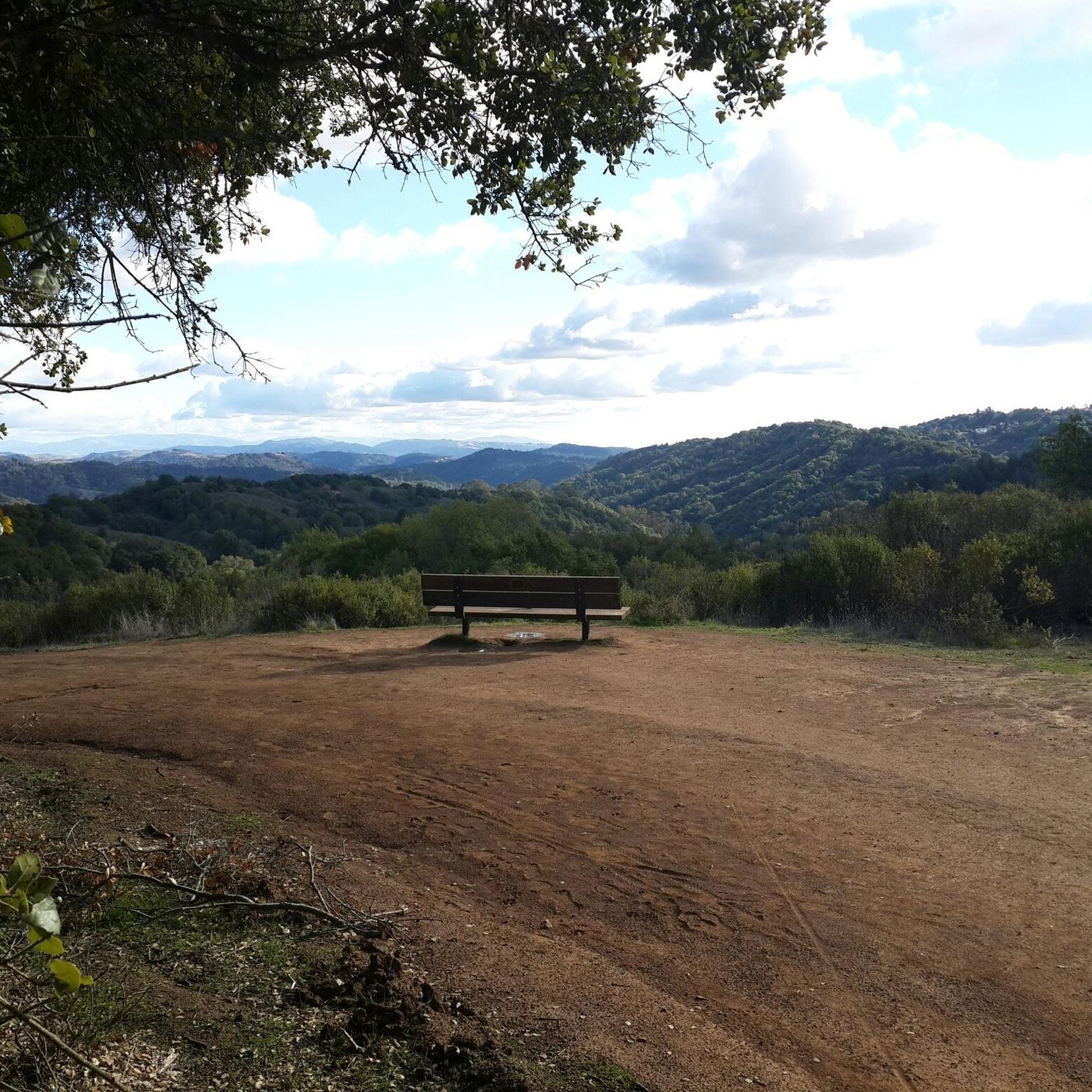
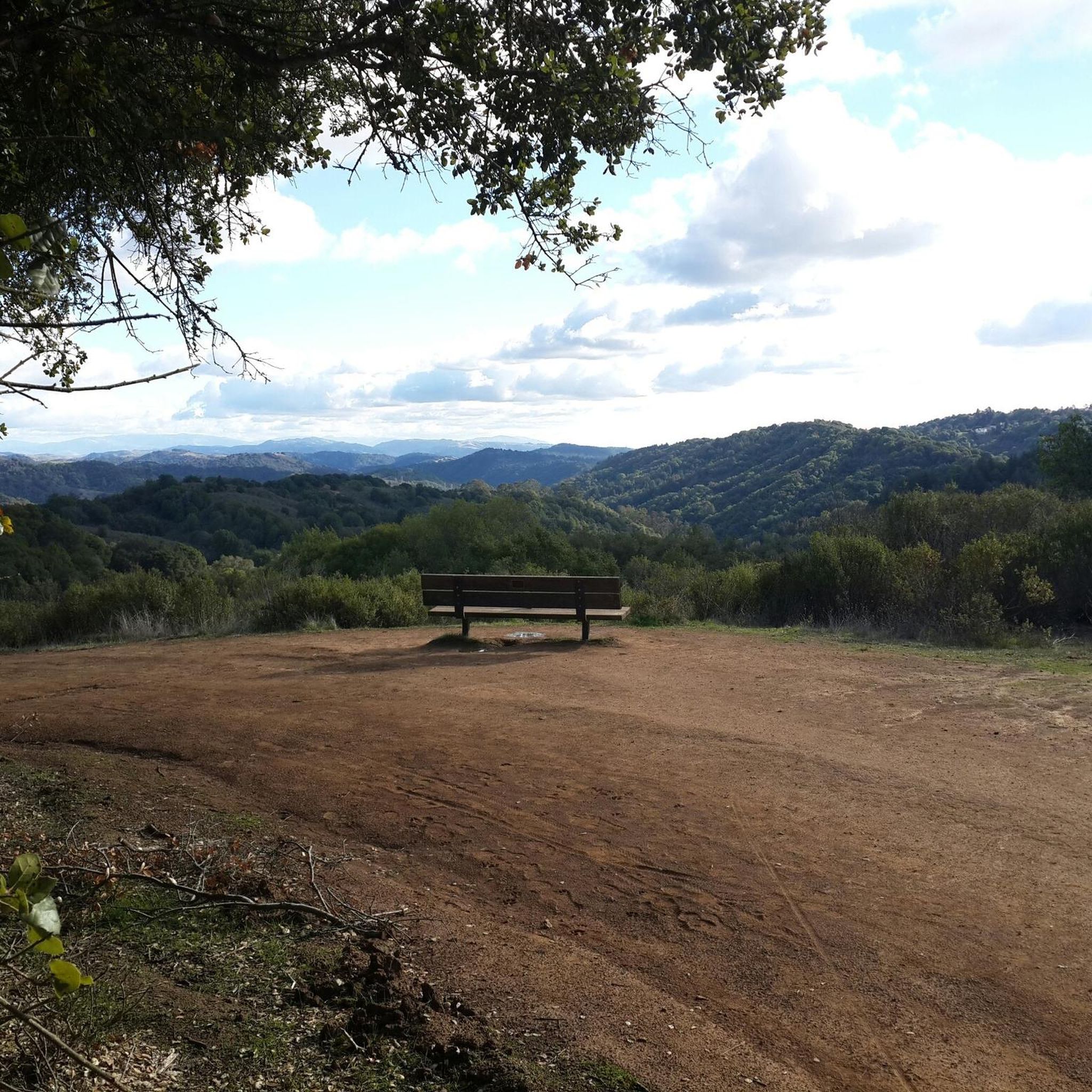
Nice viewpoint from the Round Top Loop. There are some benches next to the trail, so you can take a seat and enjoy the view.
0
0

This trail leads up to 1,634-foot Volcanic Peak. You can also bike to the summit of nearby Round Top, but the access road there is paved, so it's not as suited to a mountain bike.
0
0

Sea View trail is a brilliant and varied trail that follows the ridge out of Tilden. Mostly this trail is well trodden and easy terrain, however in parts it becomes steeper with some loose rocks. It’s never hard or technical, but don’t expect a groomed fire road throughout.
0
0
Linking the “Loop Trail” parking lot and Inspiration Point parking lot, it’s also a great way to access trails on the ridge and in the gorge. Long, flowing, and runnable — it gets very muddy after rain.
1
0
Linking Wildcat Gorge and Inspiration Peak, this is a great connector trail. After rain it’s often very muddy, so be aware of that.
1
0
Frequently Asked Questions
How many running routes are available around Orinda?
Orinda offers a wide selection of running routes, with over 270 trails available for exploration. These range from easy paths to more challenging, longer runs through the region's diverse landscape.
Are there easy running trails suitable for beginners in Orinda?
Yes, Orinda has approximately 15 easy running routes perfect for beginners or those looking for a more relaxed jog. While specific easy routes aren't highlighted here, many regional parks offer gentler paths.
Can I find circular jogging routes in the Orinda area?
Many of the running routes around Orinda are indeed circular, offering convenient loop options. For example, the Volcano Quarry View – Views over the old quarry loop from Sibley Volcanic Regional Preserve is a popular moderate loop, and the challenging Seaview and Big Springs Loop also provides a circular experience.
Are the running paths around Orinda dog-friendly?
Most regional parks and trails in the Orinda area, including those managed by East Bay Regional Park District, generally permit dogs on leash. It's always a good idea to check specific park regulations before heading out, but many runners enjoy these trails with their canine companions.
What kind of terrain can I expect on Orinda's running trails?
The running trails in Orinda are characterized by rolling hills, dense woodlands, and varied terrain. You'll encounter everything from paved paths to dirt trails, offering a mix of challenges and scenic views across the East Bay.
What do other runners enjoy most about jogging in Orinda?
The running routes in Orinda are highly rated by the komoot community, with an average score of 4.4 stars from over 50 reviews. Runners often praise the scenic vistas, the challenging yet rewarding climbs, and the opportunity to immerse themselves in nature within the regional parks.
Are there any long-distance running routes in Orinda?
Absolutely. For those seeking longer distances, Orinda offers several challenging routes. The Briones Reservoir loop via Bear Creek Trail is a substantial 13.1-mile (21.1 km) trail, and the Manzanita Barren and Viewpoint – Upper Huckleberry Loop Trail extends over 14.5 miles (23.4 km).
What are some interesting landmarks or natural features to see near the running routes?
While running around Orinda, you can explore several natural and man-made attractions. Nearby highlights include Lake Merritt, Lake Anza, and the Lafayette Reservoir Recreation Area. These offer beautiful waterside views and additional recreational opportunities.
Is public transport an option to reach Orinda's running trails?
Orinda is served by BART (Bay Area Rapid Transit), with the Orinda station providing access to the area. From there, local bus services or a short walk/ride can connect you to various trailheads within the regional parks. It's advisable to check specific route access points for the most convenient public transport options.
Where can I park when visiting Orinda's jogging paths?
Most regional parks around Orinda, such as Briones Regional Park, Sibley Volcanic Regional Preserve, and Tilden Regional Park, offer designated parking lots at their main trailheads. Some smaller access points might have limited street parking, so planning your start point is recommended.
Are there any running routes that offer views of the reservoir?
Yes, several routes provide stunning reservoir views. The Briones Reservoir loop via Bear Creek Trail is specifically known for its extensive reservoir vistas, offering a picturesque backdrop for your run.
What is the best time of year for running in Orinda?
Orinda generally enjoys a mild Mediterranean climate. Spring and fall offer ideal running conditions with comfortable temperatures and lush scenery. Summer mornings can also be pleasant before the heat sets in, while winter runs are often possible, though trails might be muddy after rain.
Most popular attractions around Orinda

Get inspired with the komoot mobile app


Explore more
Browse the best Running Trails & Routes in other regions.
