The best gravel rides around Orinda
4.4
(25)
255
riders
36
rides
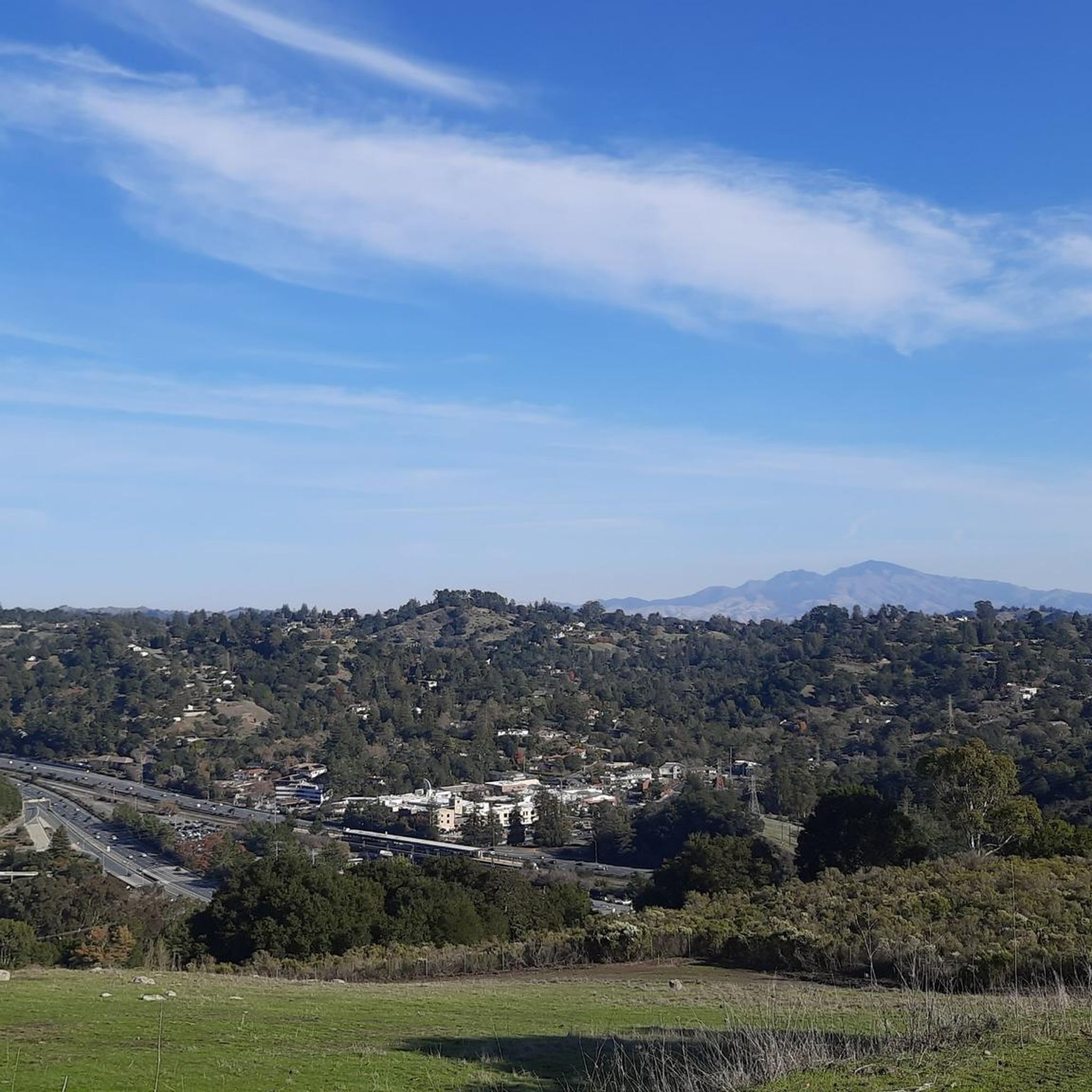
Gravel biking around Orinda offers routes through the varied terrain of the East Bay Hills, characterized by rolling hills, forested parklands, and open spaces. The region features significant elevation changes, providing challenging climbs and rewarding descents. Trails often traverse areas with mixed surfaces, including compacted dirt, gravel roads, and paved sections connecting natural areas. This landscape provides diverse conditions suitable for experienced gravel riders.
Best gravel bike trails around Orinda
- The most popular gravel bike trail is East Bay Skyline and Berkeley Hills Loop, a 34.1 miles (54.9 km) trail that takes 4 hours 26 minutes to complete. This route features significant elevation gain and panoramic views of the surrounding area.
- Another top favourite among local gravel bikers is East Bay Skyline Loop, a difficult 19.7 miles (31.7 km) path. This route offers a mix of challenging climbs and scenic vistas along the ridge lines.
- Local gravel bikers also love the Joaquin Miller Park – Skyline Boulevard loop from MacArthur, a 29.0 miles (46.7 km) trail leading through forested parkland and along ridge tops, often completed in about 3 hours 33 minutes.
- Gravel biking around Orinda is defined by hilly terrain, forested parks, and skyline views. The network offers options for moderate to advanced ability levels.
- The routes in Orinda are highly rated by the komoot community with an average score of 4.6 stars from more than 10 reviews. More than 180 gravel bikers have used komoot to explore Orinda's varied terrain.
Last updated: July 30, 2026
4.5
(2)
18
riders
31.7km
03:05
800m
800m
If you're looking for a gravel biking adventure that truly showcases the East Bay, the East Bay Skyline Loop delivers. This difficult 19.7-mile (31.7 km) route winds through a stunning variety of landscapes, from open grasslands to dense redwood groves, all while offering continuous panoramic views of the San Francisco Bay and the Golden Gate Bridge. You'll encounter diverse terrain, including paved roads, fire roads, and technical singletrack, with significant climbs that will test your fitness.
Prepare for a substantial workout, as the loop involves 2631 feet (802 metres) of elevation gain and typically takes around 3 hours and 4 minutes to complete. While specific parking can vary depending on your starting point within the regional parks, it's generally accessible. Checking trail conditions, especially after rain, is advisable due to potentially muddy or rough sections. This ride is best suited for experienced gravel bikers ready for a challenge.
What makes this route stand out is its ability to connect multiple regional parks like Wildcat Canyon, Tilden, and Sibley, offering a true "best of East Bay" experience. Beyond the physical challenge, the ever-present Bay Area vistas, particularly from spots like Inspiration Point, provide constant motivation and make the strenuous climbs worthwhile. It's a robust workout combined with iconic scenery, making it a favorite among local gravel enthusiasts.
12
riders
54.9km
04:26
1,040m
1,040m
The East Bay Skyline and Berkeley Hills Loop offers a quintessential gravel biking experience, blending challenging climbs with diverse terrain and expansive Bay Area views. You'll navigate a mix of paved and unpaved sections, from smooth roads to rugged fire trails that can be rooty or develop washboard conditions. The 34.1-mile (54.9 km) route, with its 3420 feet (1042 metres) of elevation gain, is a difficult undertaking that rewards you with stunning panoramas of the San Francisco Bay and the Golden Gate Bridge, especially from spots like the Grizzly Peak Blvd Bay Area Viewpoint. Expect to spend around 4 hours and 26 minutes on this demanding ride.
While the route offers numerous potential starting points for East Bay residents, it's wise to consider the conditions. Drier spring and summer months can bring washboard surfaces on unpaved sections, while post-rain rides might mean hardened mud. There are no specific permits or fees mentioned, making it an accessible, albeit challenging, option for local cyclists.
What makes this route truly stand out is its ability to deliver a genuine escape into nature within a relatively urban setting. It's a favorite among local cyclists for its

Sign up for free
4.8
(8)
39
riders
46.7km
03:34
920m
920m
Hard gravel ride. Very good fitness required. Mostly paved surfaces. Suitable for all skill levels.
4.6
(5)
27
riders
48.8km
03:44
880m
880m
Hard gravel ride. Very good fitness required. Mostly paved surfaces. Suitable for all skill levels.
12
riders
55.6km
03:57
960m
960m
The Skyline Boulevard – Grizzly Peak Boulevard loop from Orinda is a demanding gravel biking adventure through the East Bay Hills, renowned for its stunning scenery and significant climbs. You'll navigate a mix of paved boulevards and unpaved parkland sections, winding through forested areas with redwood groves and oak woodlands. The route offers continuous visual rewards, from ridge-top views of the San Francisco Bay and Golden Gate Bridge to the distant Mount Diablo, making every challenging ascent worthwhile. It's a true test of endurance with an exceptional scenic payoff. This difficult 34.6 miles (55.6 km) route involves 3165 feet (965 metres) of elevation gain, typically taking around 3 hours and 57 minutes to complete. It's best suited for experienced riders seeking a substantial workout and breathtaking vistas. The route is a favorite among local cyclists, so expect to share the road and trails, especially on weekends. While there are no specific permits needed, planning your visit around potential fog in the mornings can enhance the panoramic views. Consider starting from Orinda BART for convenient public transport access, or find parking in the Orinda area. Always carry ample water, as the sustained climbs can be dehydrating. This loop stands out for its unique blend of urban accessibility and wild, scenic beauty, integrating challenging climbs with iconic Bay Area viewpoints. It's a classic for a reason, offering a comprehensive tour of the East Bay's diverse landscapes and a memorable experience for those ready to tackle its demands. The combination of varied terrain and constant visual interest, from dense forests to open ridges, makes it a highlight for advanced gravel bikers in the region.
Get access to more routes and recommendations from other explorers.
Sign up for free
Already have an account?
Our route recommendations are based on thousands of hikes, rides, and runs completed by other people on komoot.
Start today with a free account
Your next adventure awaits.
Login or Signup
Tips from the Community

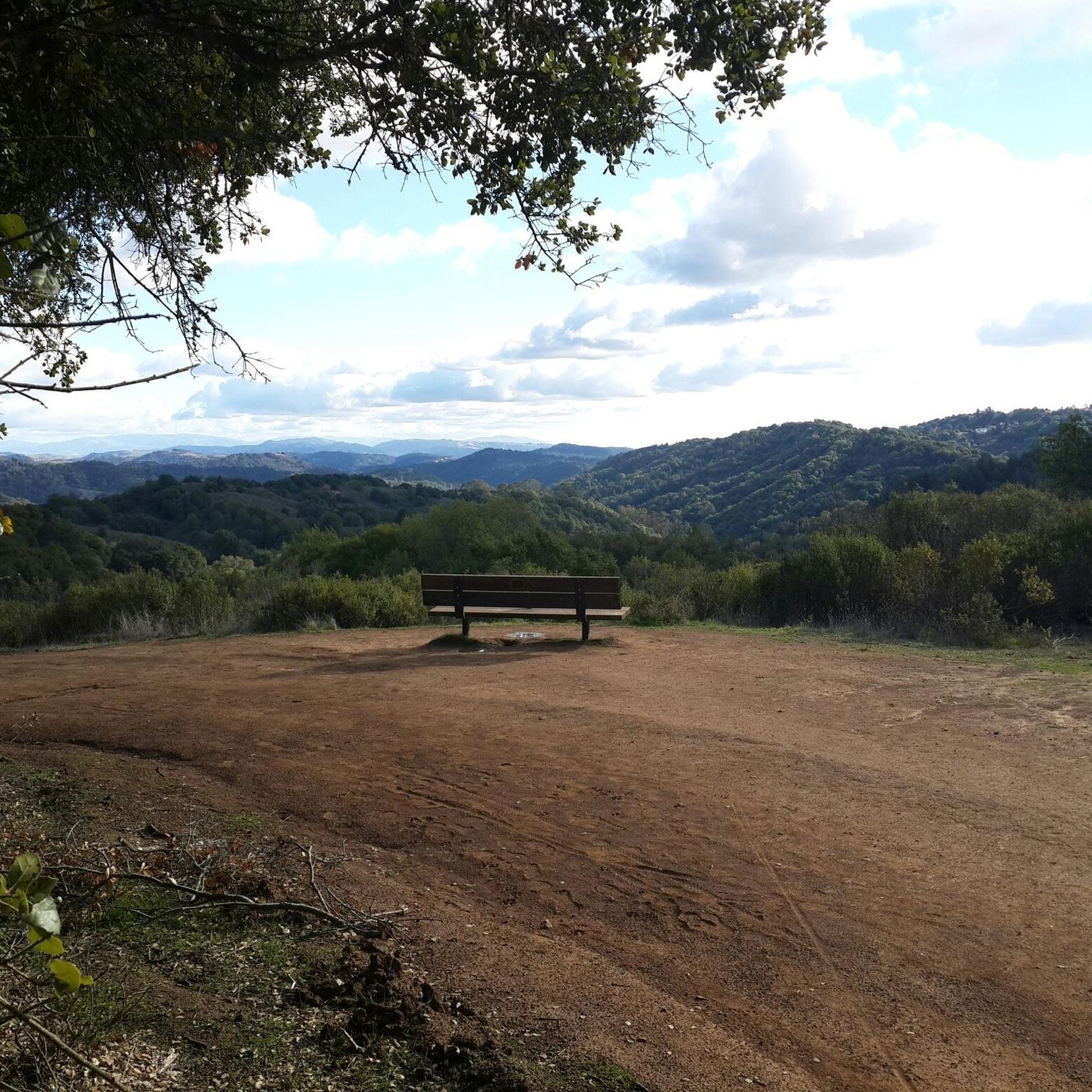
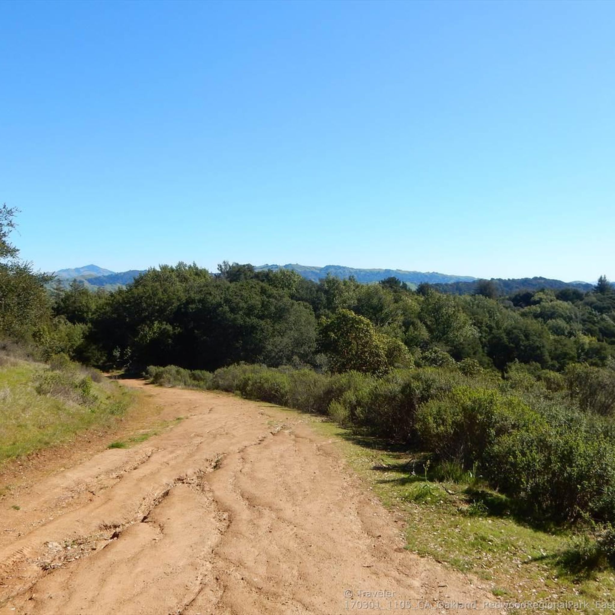
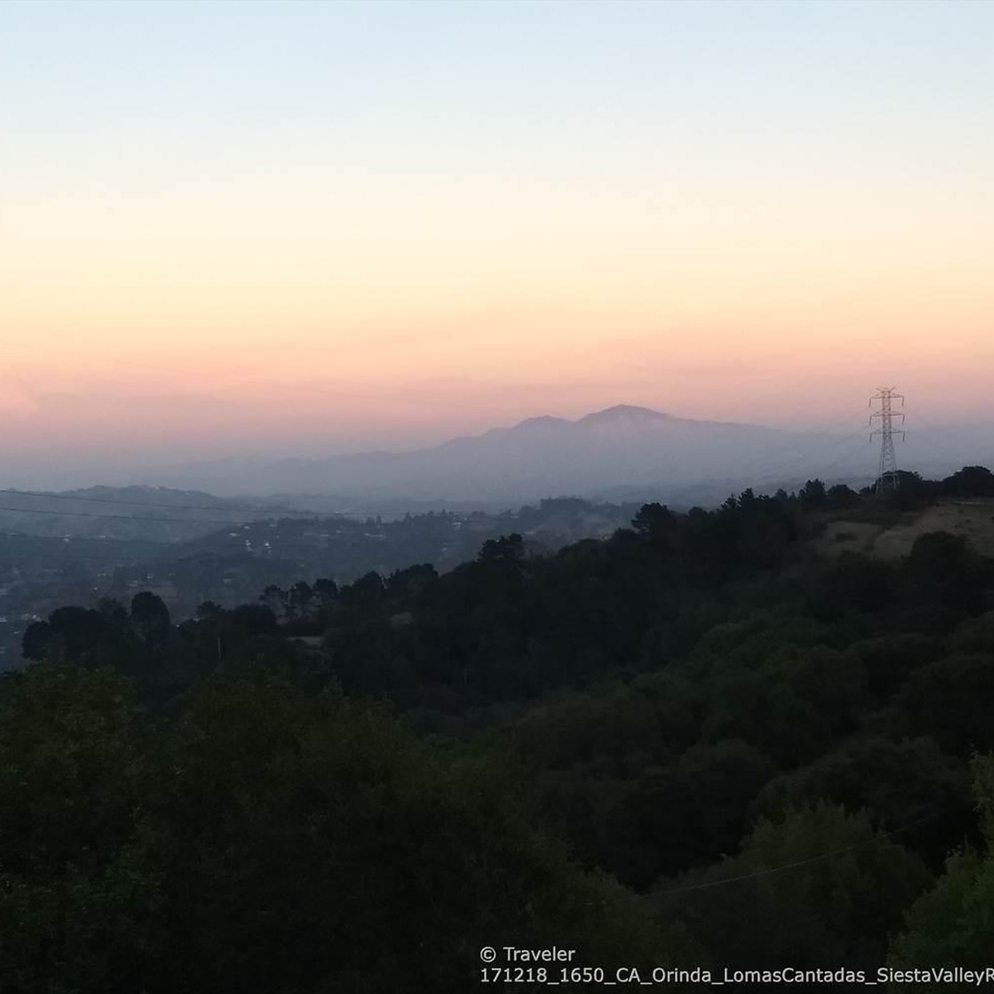
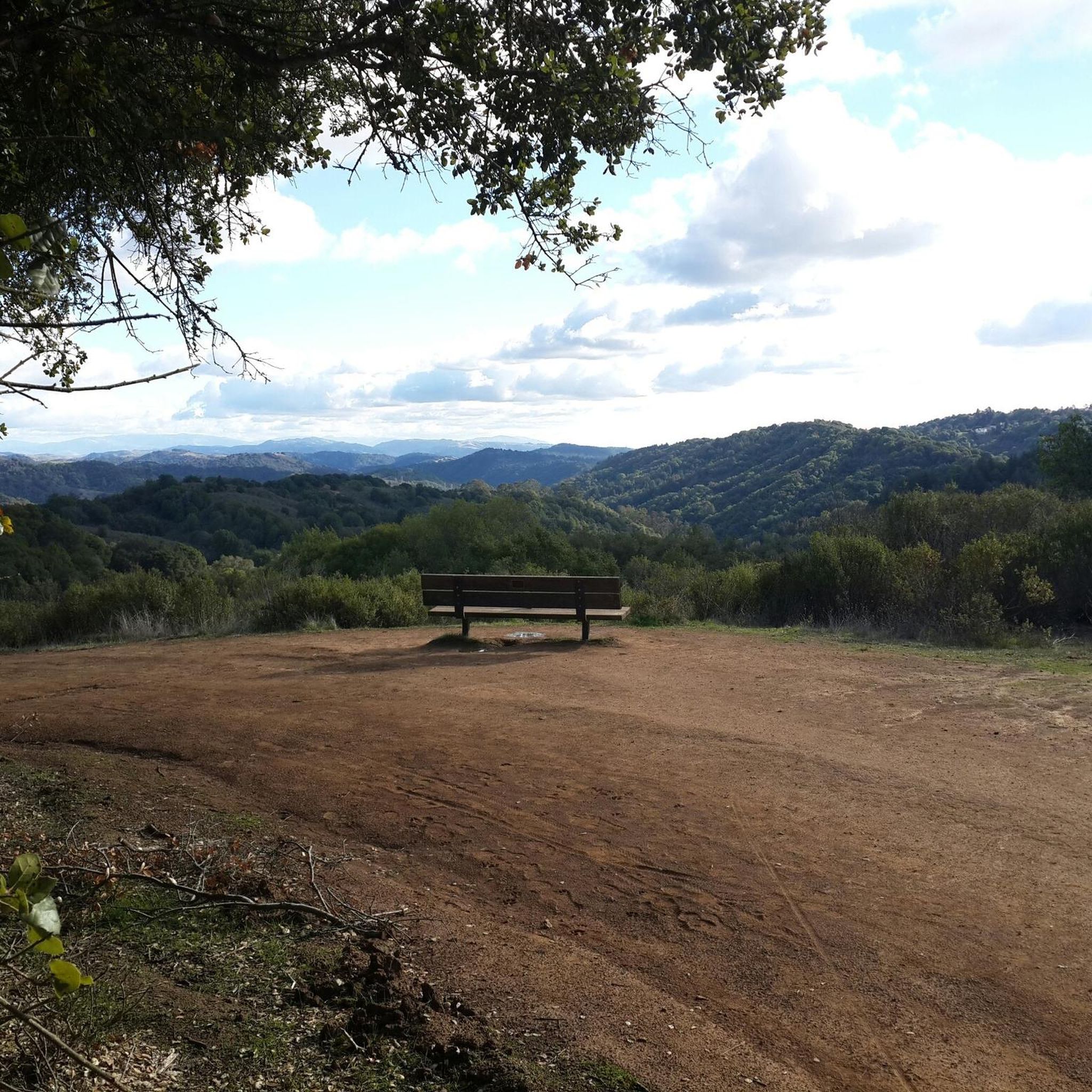
This road parallels the ridgeline above and have great views over the bay and surrounding hills.
0
0

Wildcat Creek Trail is a packed-dirt trail that is about four miles long. One end of the trail is at Jewel Lake, near the Environmental Education Center, and the other end of the trail is at the Alvarado Staging Area. This trail offers great views of Wildcat Creek and has some picnic tables you could stop at along the side of the trail.
0
0
Conlon Trail is a connector trail off of Nimitz Way Trail that spits you out on its south side at the intersection of Havey Canyon Trail and Wildcat Creek Trail. Conlon Trail offers from sweet views, but it's open to hikers and bikers, so keep an eye out for folks on foot.
0
0


This beautiful, wide forest trail skirts around the northwest flank of Round Top. While the entire loop around the mountain is open for hiking, this section is the only part allowed for cycling.
0
0

Tunnel Road and Skyline Boulevard to Grizzly Peak Boulevard are in an area that is popular with bikers. This hill has an average grade of 4.3%, a steady climb. Bikers enjoy windy roads and views of homes and Bay Area architecture.
0
0
With rolling climbs up and down, this area is wooded, paved, and often foggy. When the fog breaks, enjoy photo opportunities of the Bay Area.
0
0
Frequently Asked Questions
What is the general difficulty level of gravel biking trails around Orinda?
Gravel biking around Orinda is primarily suited for experienced riders, with the majority of routes classified as difficult. These trails feature significant elevation changes, challenging climbs, and rewarding descents through the varied terrain of the East Bay Hills. You'll encounter mixed surfaces, including compacted dirt, gravel roads, and some paved sections.
Are there any beginner-friendly gravel bike trails in Orinda?
While most gravel routes in Orinda are challenging, there are a few moderate options available for those looking for a less intense experience. It's advisable for beginners to choose shorter routes with less elevation gain or consider exploring specific park sections that might offer gentler terrain. Always check the route details on komoot for elevation profiles and surface types before heading out.
What kind of terrain can I expect on gravel bike trails near Orinda?
The terrain around Orinda is characterized by rolling hills, dense forested parklands, and expansive open spaces. You'll ride on a mix of compacted dirt, gravel roads, and some paved sections that connect natural areas. Expect significant elevation changes, providing both challenging climbs and exhilarating descents, often with panoramic views.
Are there long-distance gravel rides available in the Orinda area?
Yes, Orinda offers several long-distance gravel rides. For example, the East Bay Skyline and Berkeley Hills Loop spans over 34 miles (54.9 km), offering a substantial ride with significant elevation gain. Another popular option is the Ohlone Park – Wildcat Creek Trail loop from MacArthur, which covers approximately 30 miles (48 km).
What are the best seasons for gravel biking in Orinda?
The best seasons for gravel biking in Orinda are typically spring and fall, when temperatures are mild and the landscape is vibrant. Summers can be hot and dry, leading to dusty conditions on some trails, while winters can bring rain, making trails muddy and potentially slippery. Always check local weather and trail conditions before your ride.
Are there any loop trails for gravel biking around Orinda?
Yes, many of the gravel biking routes around Orinda are designed as loops, allowing you to start and end at the same point. Popular loop options include the East Bay Skyline Loop and the Joaquin Miller Park – Skyline Boulevard loop from MacArthur, both offering diverse scenery and challenging terrain.
What kind of views or viewpoints can I expect on Orinda's gravel trails?
Orinda's gravel trails are renowned for their spectacular views. Riders often enjoy panoramic vistas of the surrounding East Bay Hills, the San Francisco Bay, and even the distant skyline. Routes along ridge lines, such as those incorporating the Skyline Boulevard, frequently offer breathtaking scenic overlooks, especially around sunrise or sunset.
What do other gravel bikers enjoy most about riding in Orinda?
The gravel biking routes in Orinda are highly rated by the komoot community, with an average score of 4.6 stars from over 18 reviews. Riders frequently praise the challenging climbs, rewarding descents, and the diverse mix of forested parklands and open spaces. The panoramic skyline views are also a consistent highlight for many who explore the area.
Are there any interesting natural attractions or landmarks near the gravel bike trails?
Yes, the Orinda area is rich with natural attractions. You might find yourself near beautiful lakes like Lake Anza or the Lafayette Reservoir Recreation Area. Other notable natural features include the John Muir Memorial Park and the serene Redwood Grove, offering a chance to connect with nature off the bike.
Is public transport an option for accessing gravel trails in Orinda?
While Orinda is accessible by BART (Bay Area Rapid Transit), direct public transport access to specific trailheads can be limited. Many riders choose to drive to a convenient parking spot near a trailhead. If using public transport, plan your route carefully and be prepared for additional riding to reach the starting points of the more remote gravel trails.
Where can I find parking for gravel biking trails in Orinda?
Parking for gravel biking trails in Orinda is typically available at various regional parks and open spaces. Popular starting points often include designated parking lots within parks like Joaquin Miller Park or along major access roads near trailheads. Always check local park regulations and signage for specific parking information and any potential fees.
Are there any hidden gem gravel trails in Orinda worth exploring?
Beyond the well-known routes, exploring the extensive network of trails in the East Bay Hills can reveal hidden gems. Consider venturing into less-trafficked sections of regional parks or using komoot's route planner to discover new connections. The Skyline Boulevard – Joaquin Miller Park loop from Ashby, while challenging, offers a slightly different perspective and can feel like a discovery for those new to the area.
Most popular attractions around Orinda

Get inspired with the komoot mobile app


Explore more
Browse the best Gravel rides in other regions.
